Pierce Wanderings
Texas Hiking (and elsewhere)
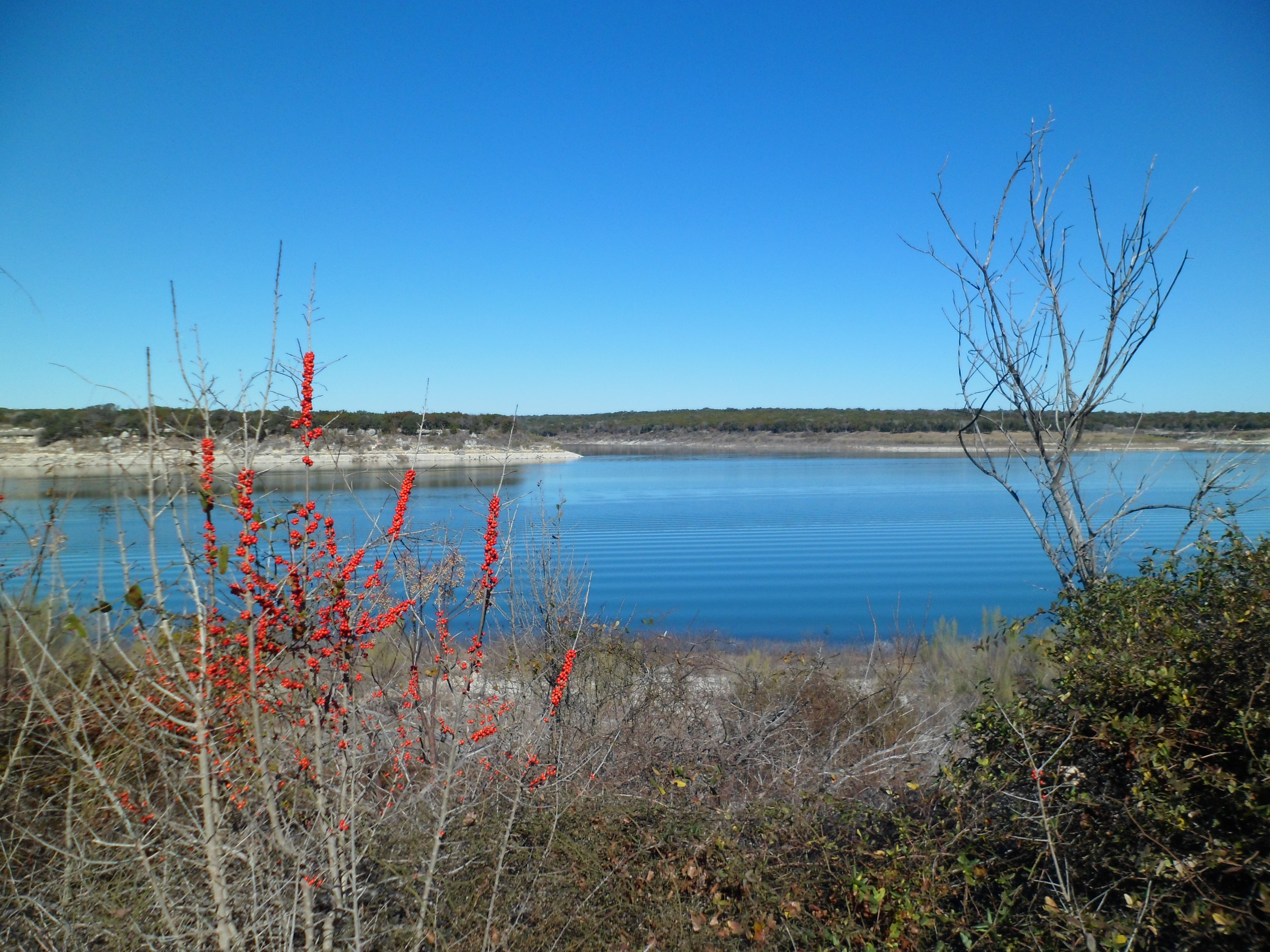
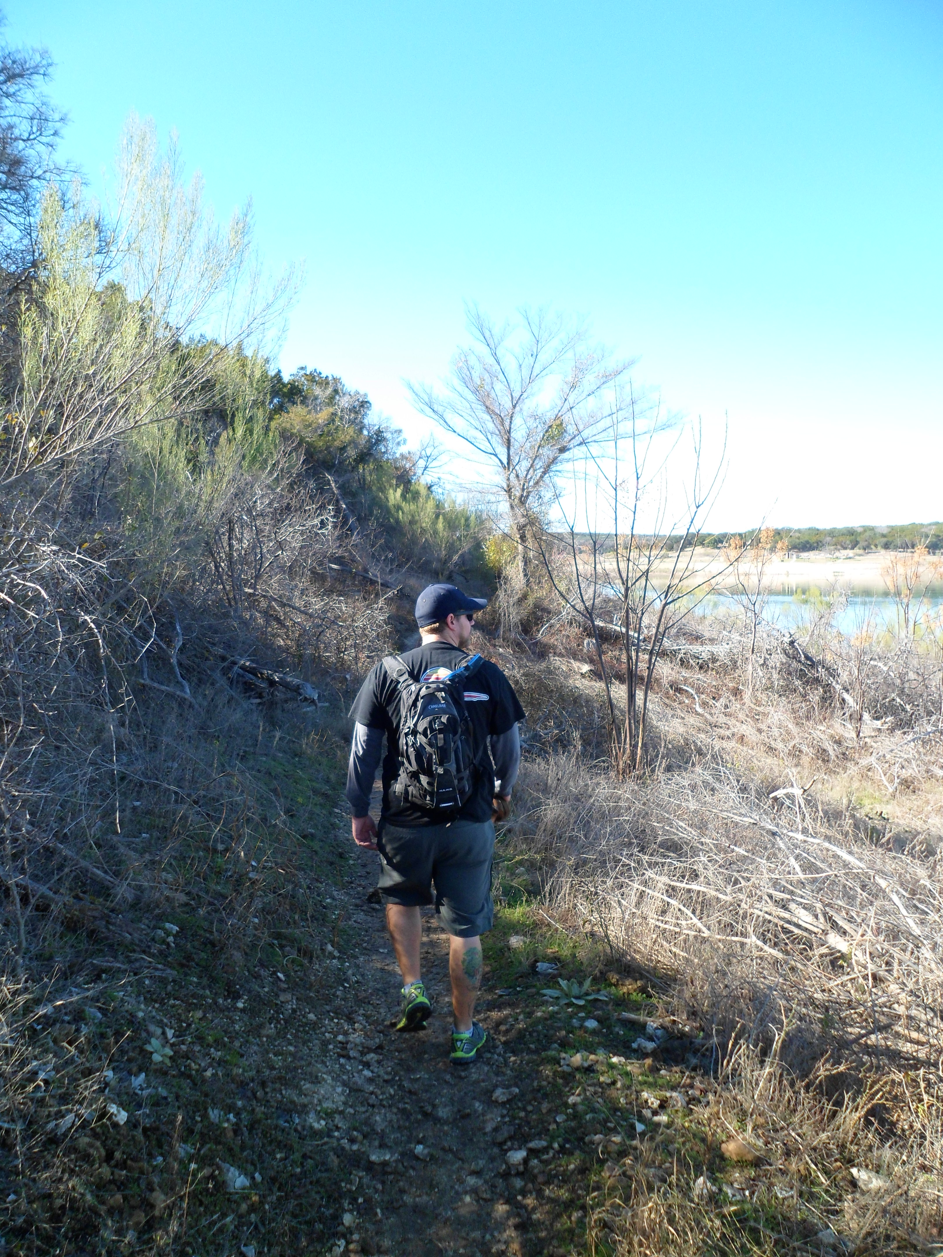
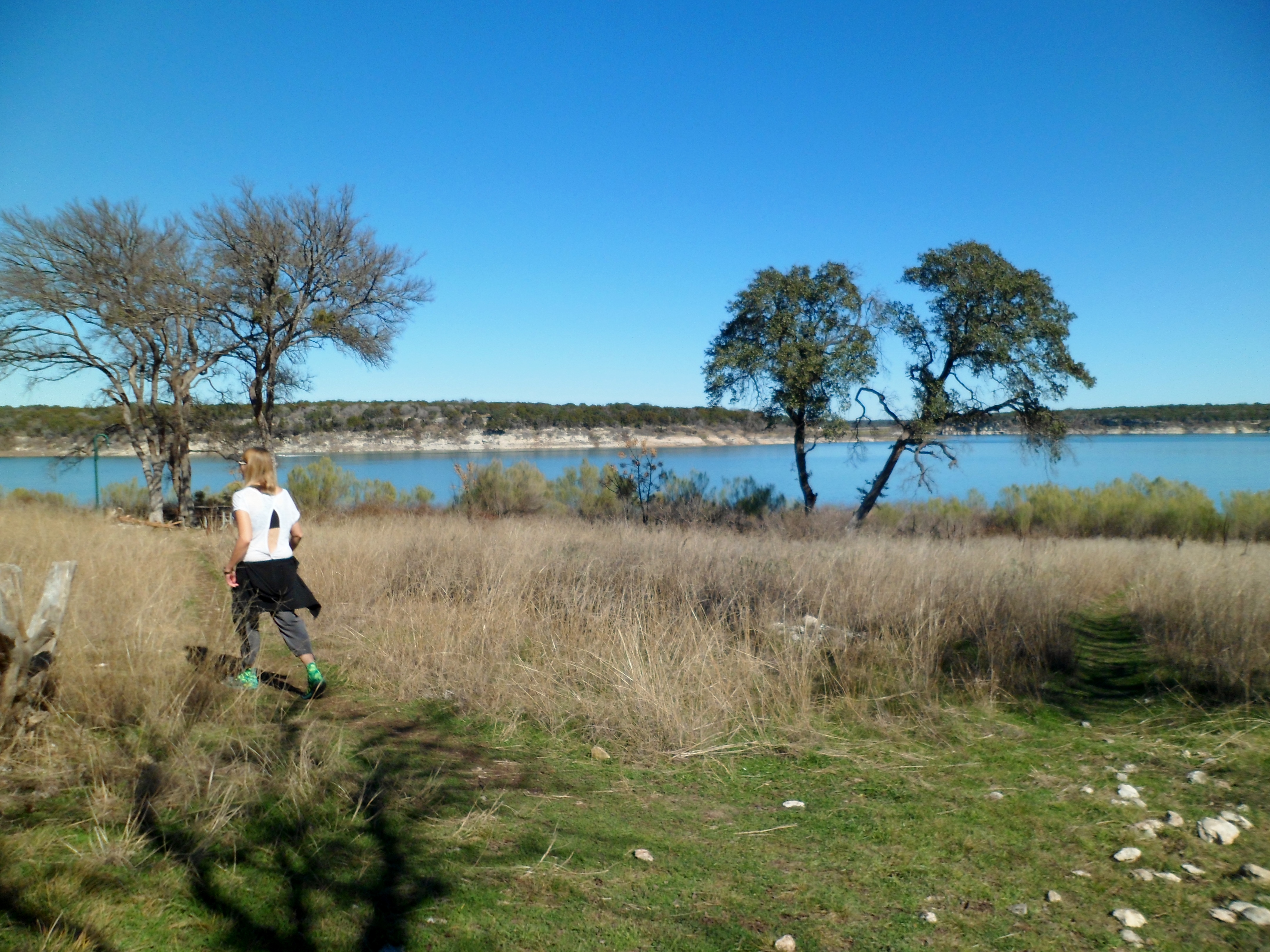
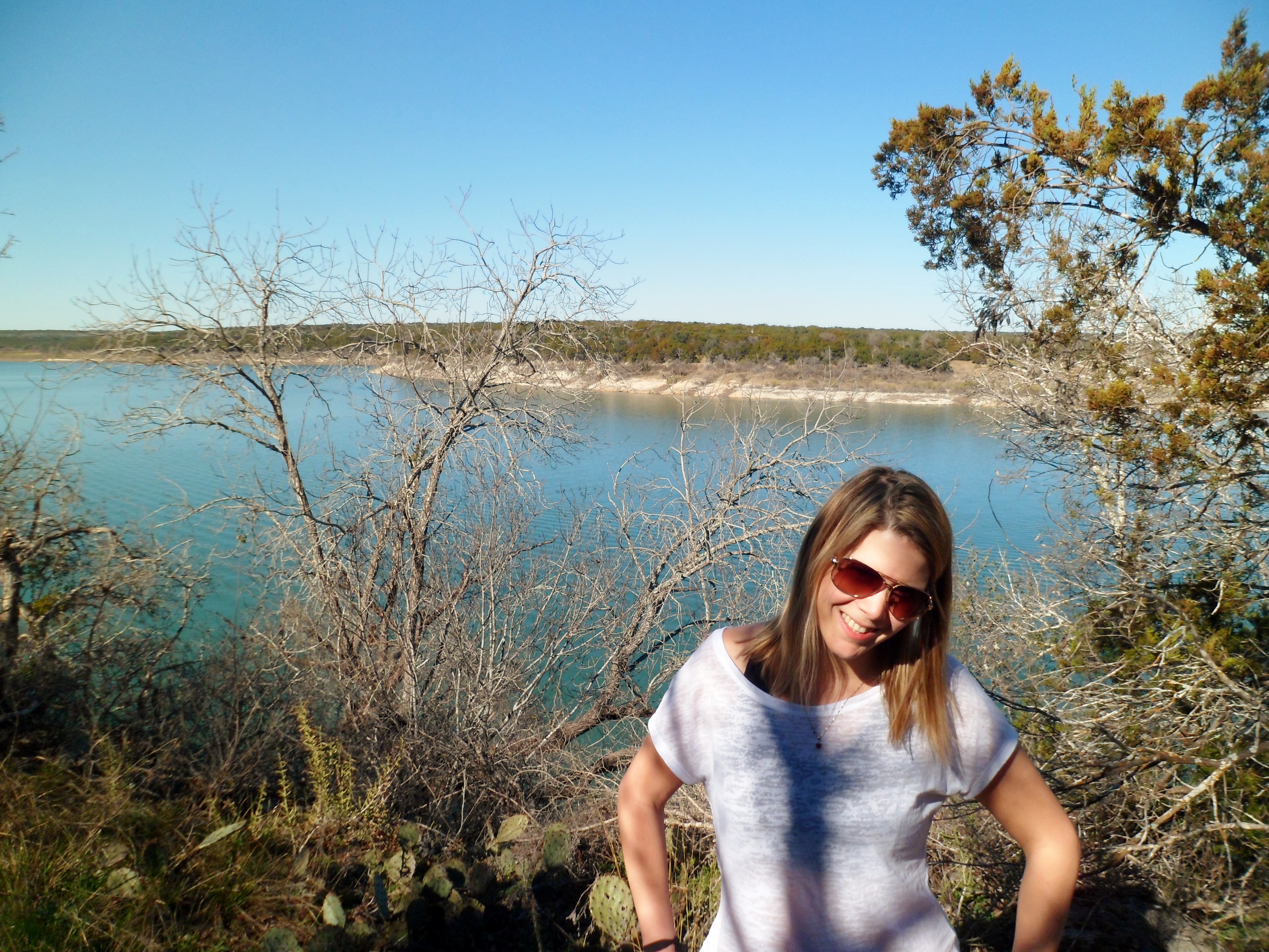
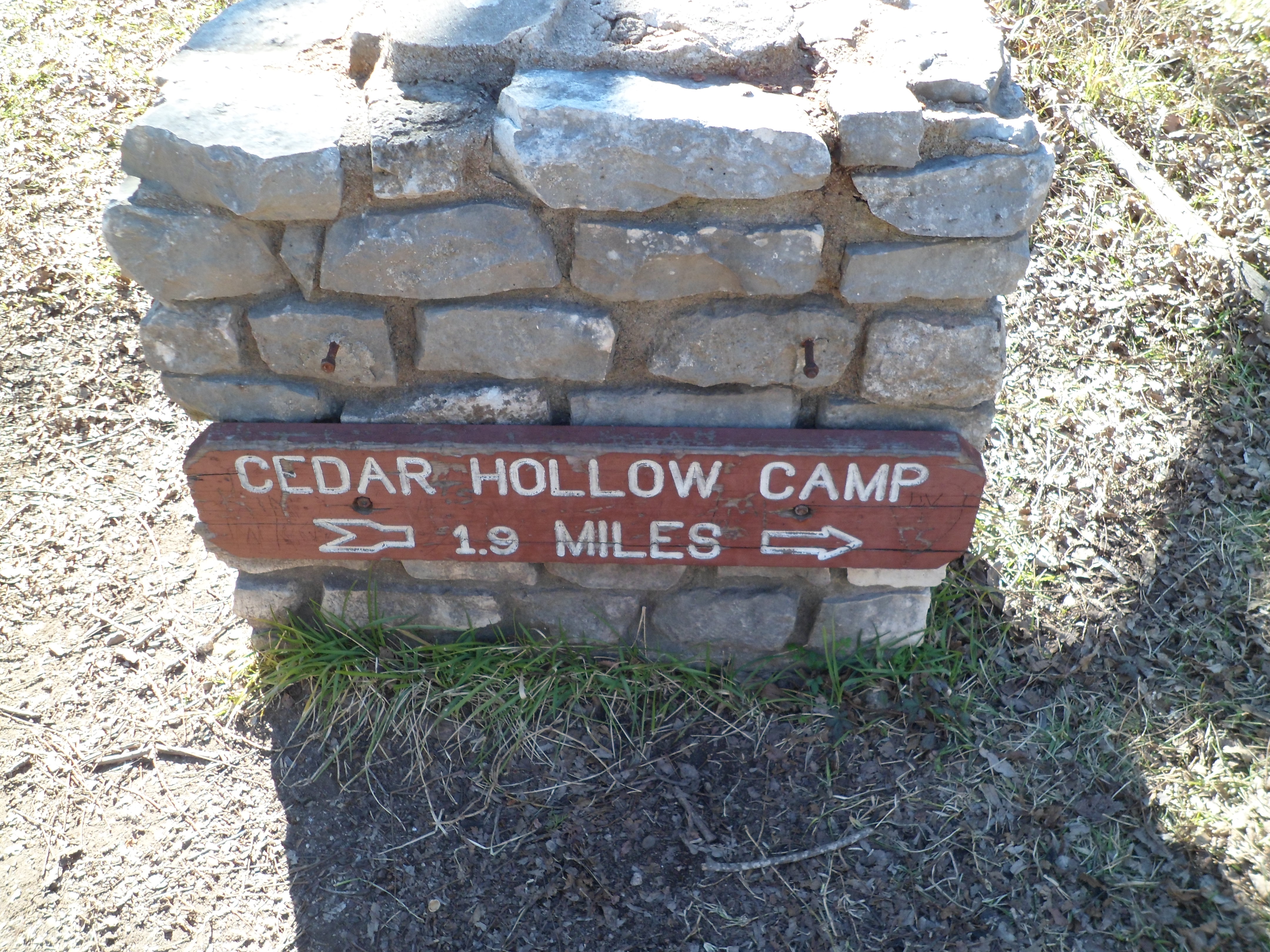
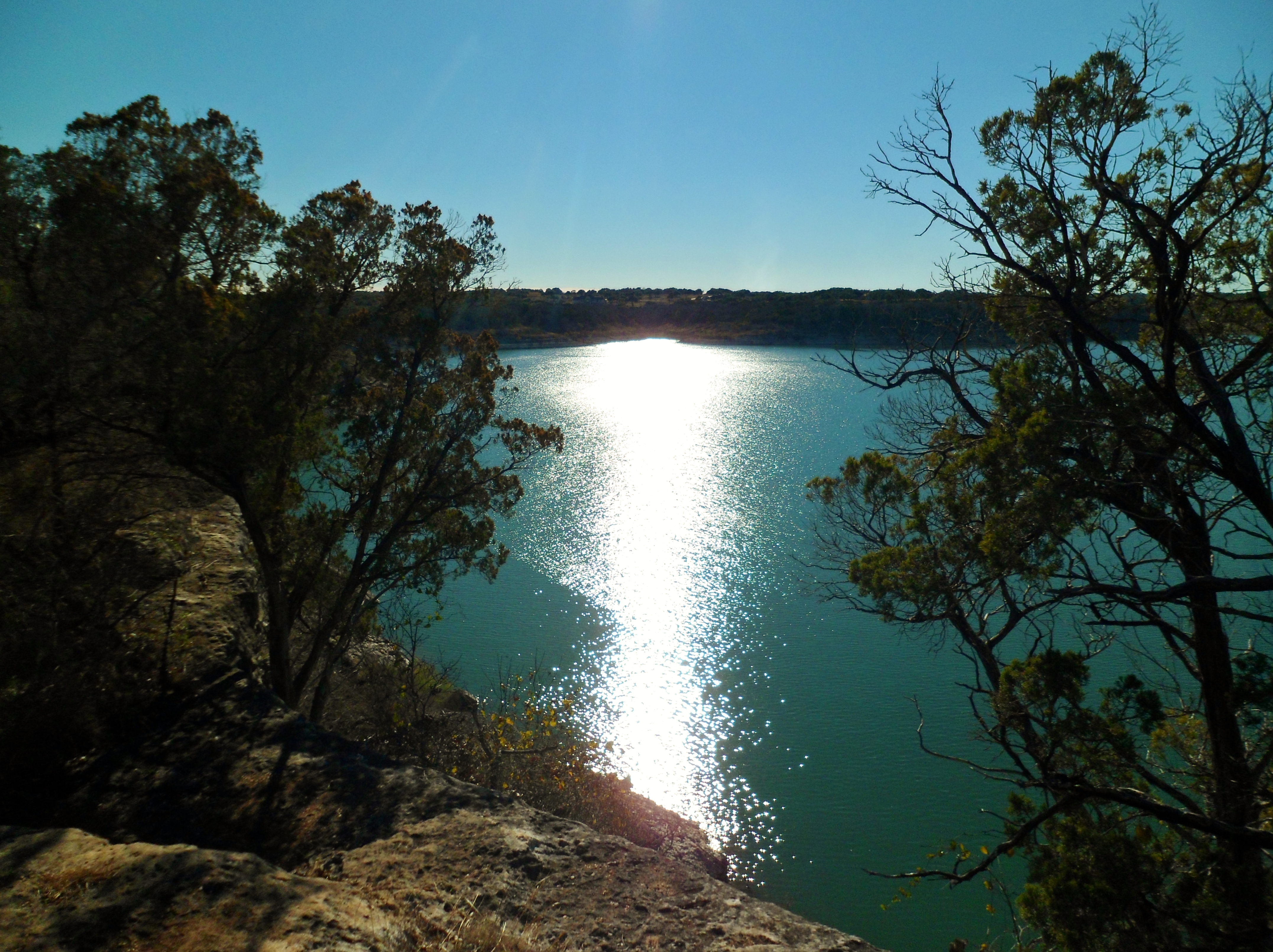
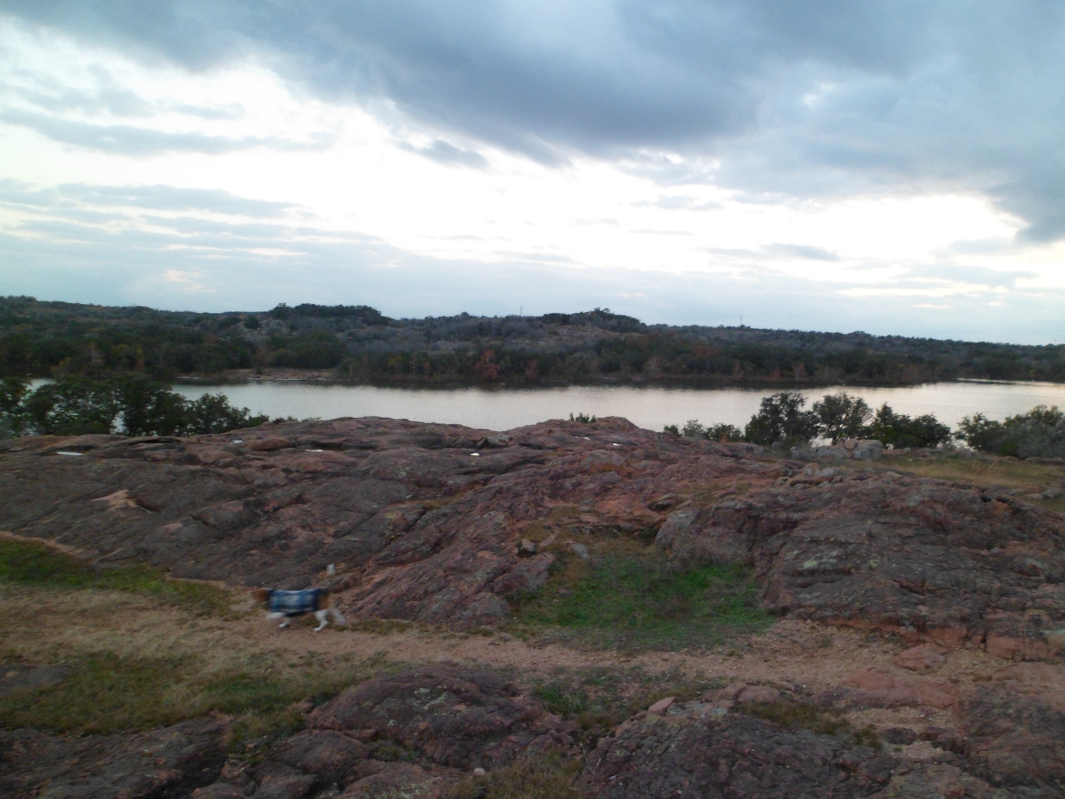
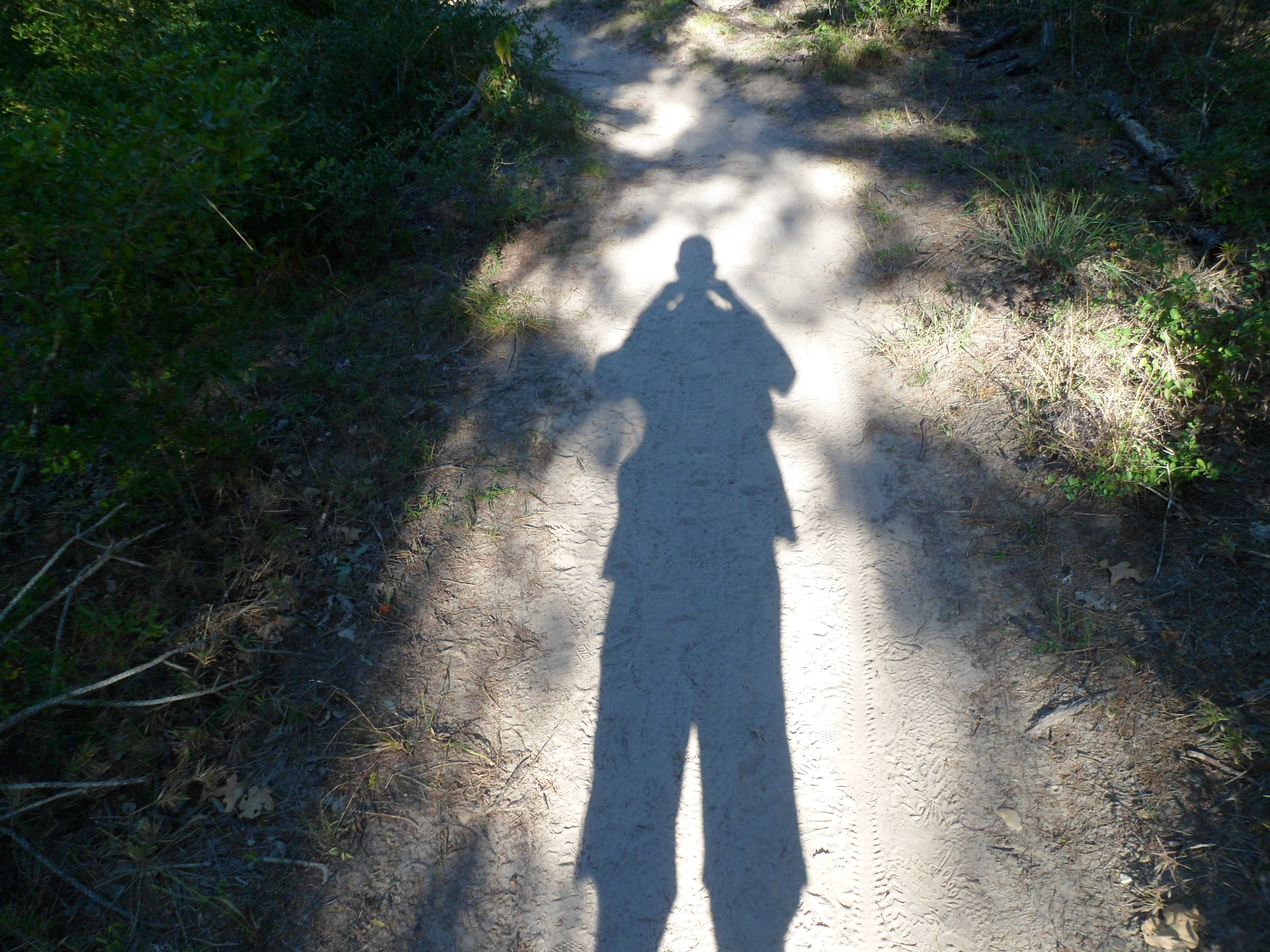
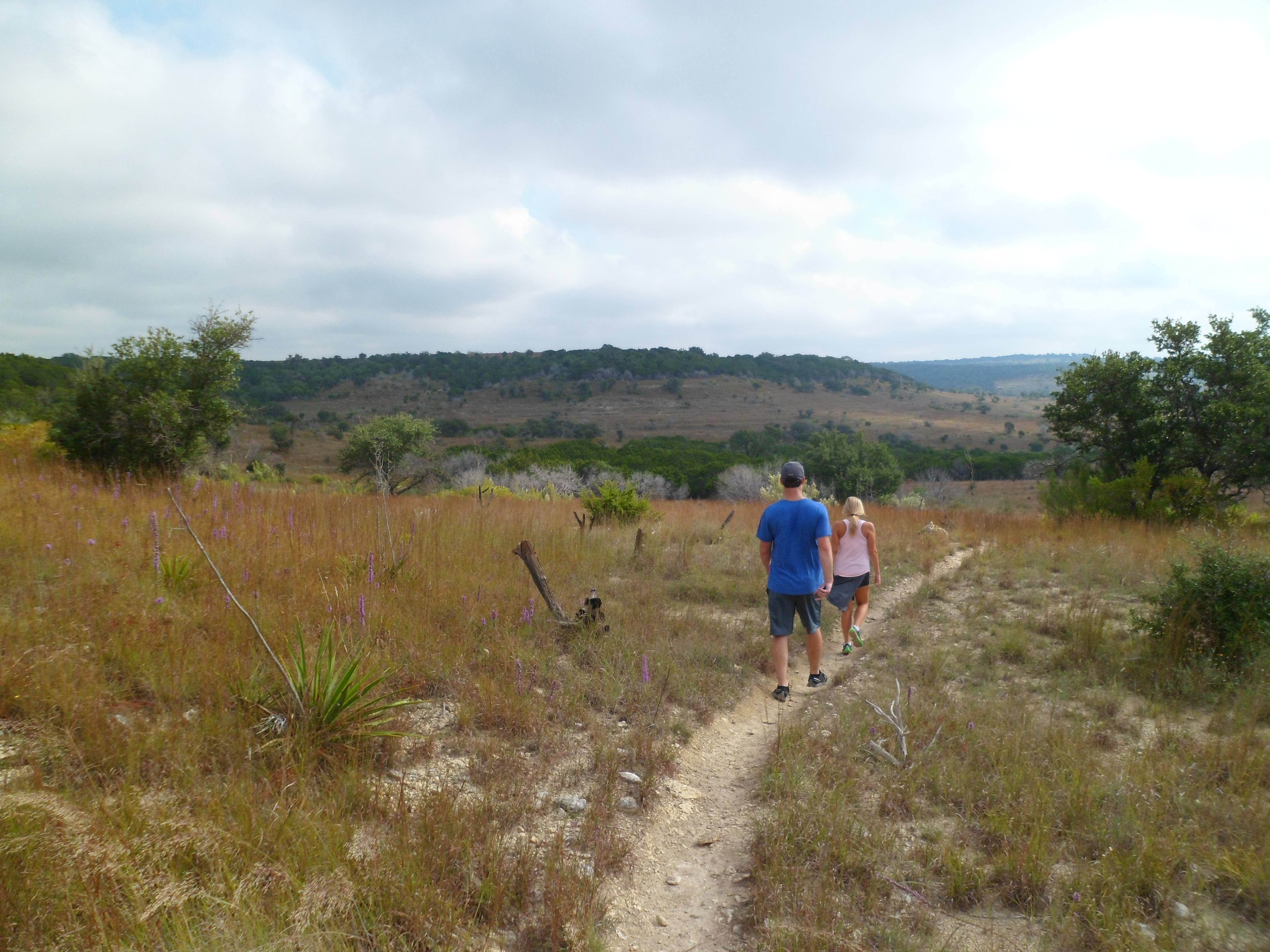
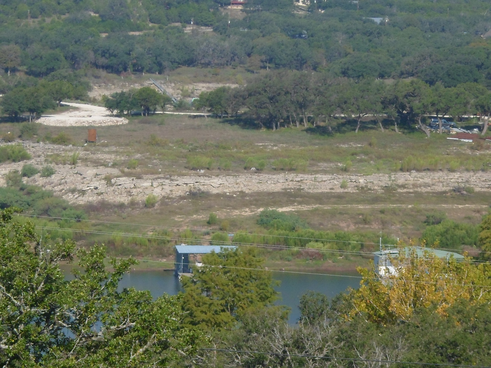
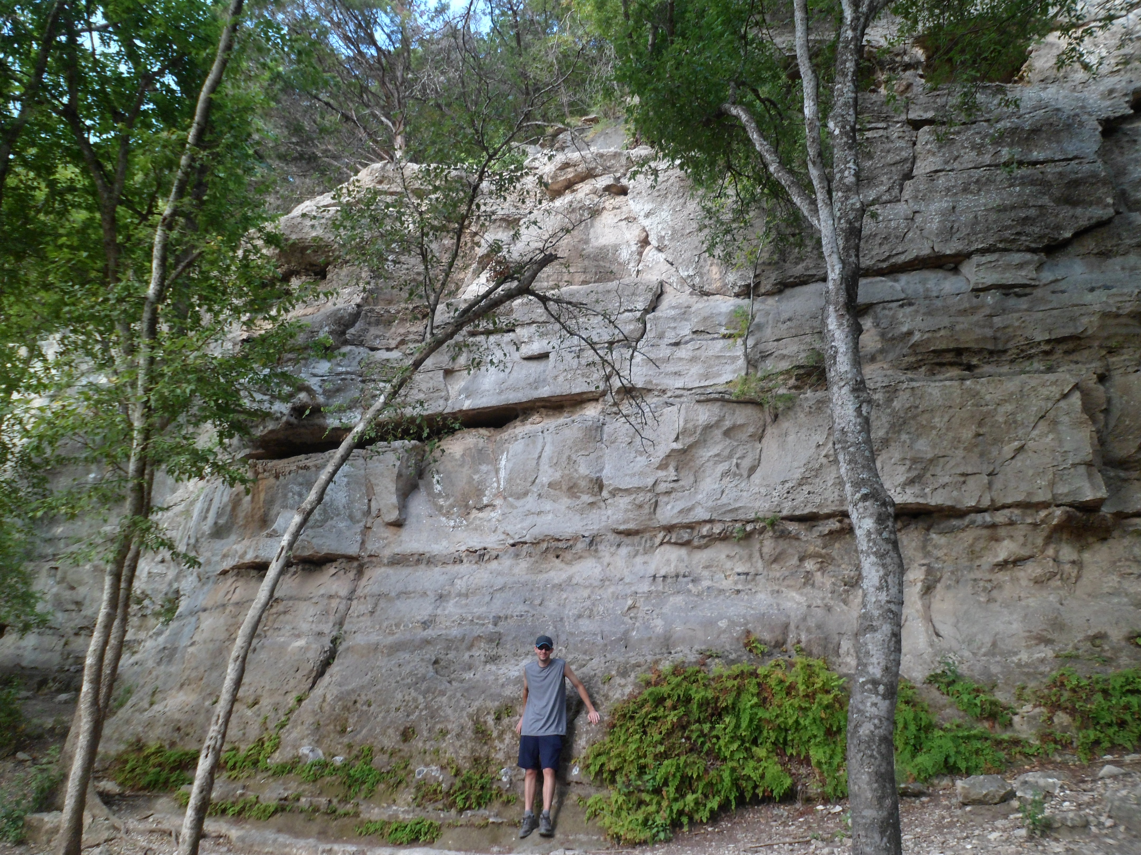
Lake Georgetown – Goodwater Loop 1/18/15
Sunday, January 18th, 2015
Hike: Lake Georgetown, San Gabriel River Trail – Goodwater Loop
Weather: mid-70s, warm, clear
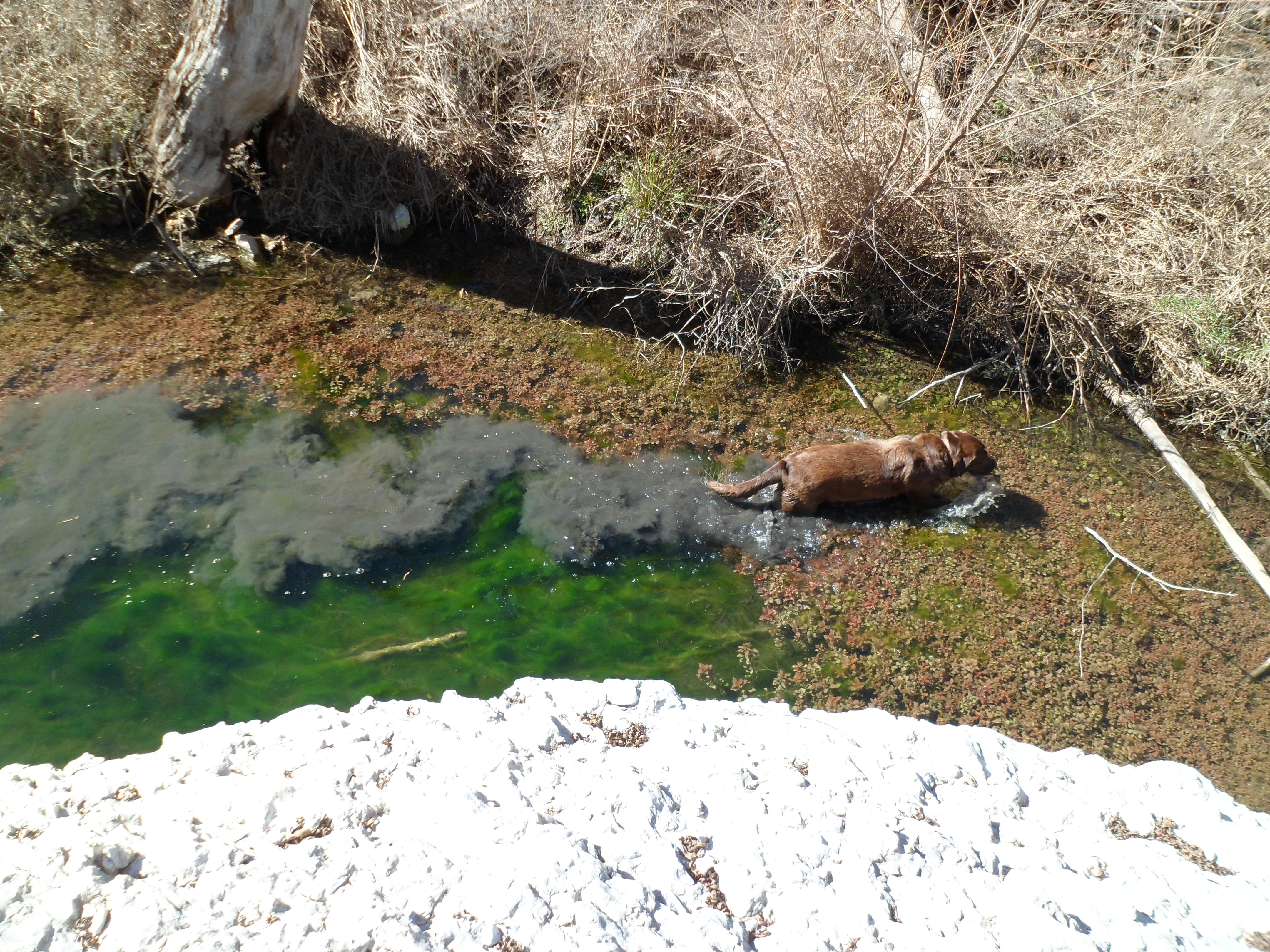
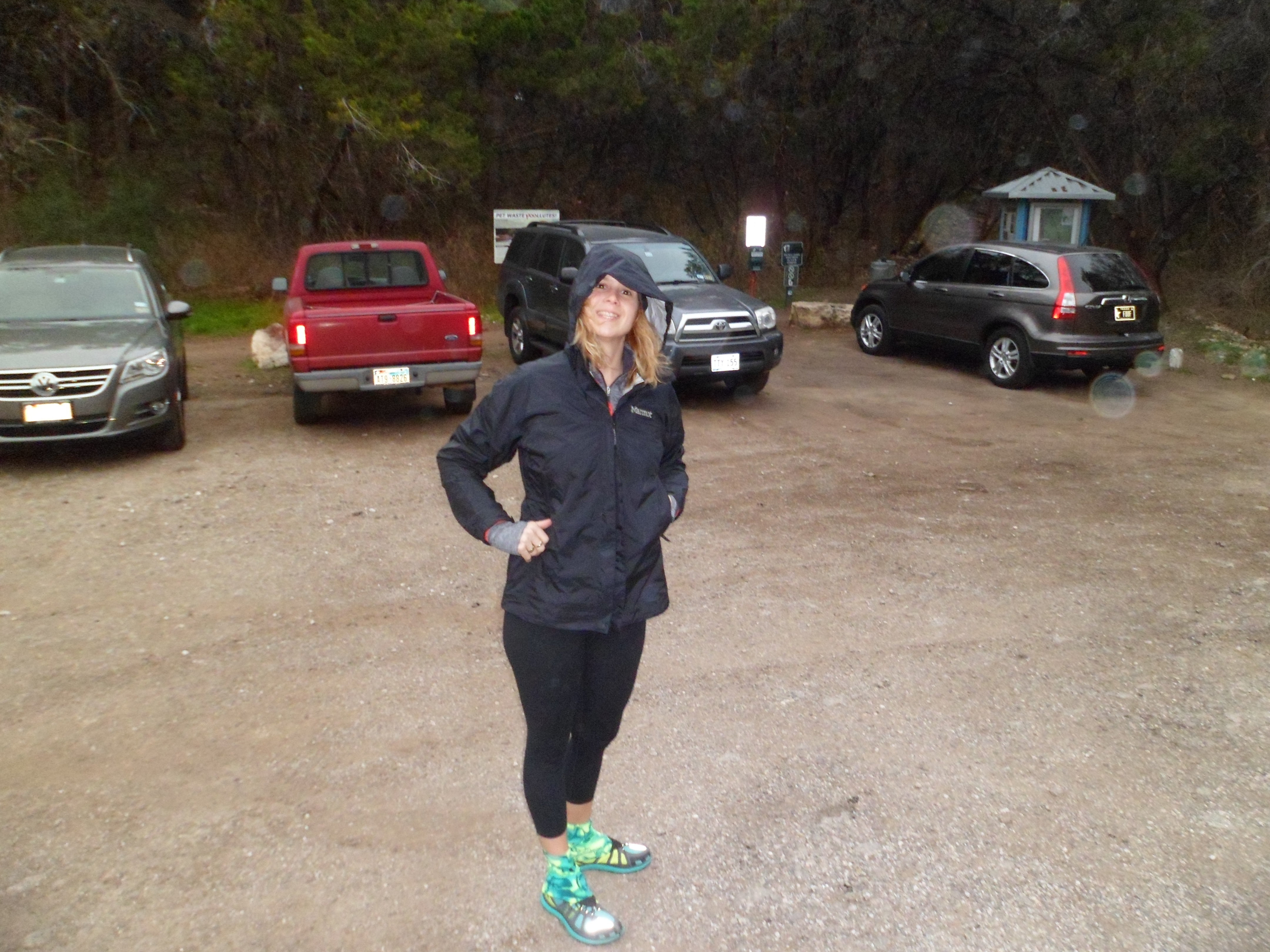
Hikers: Ian, Court, Greg, Cat, Sam
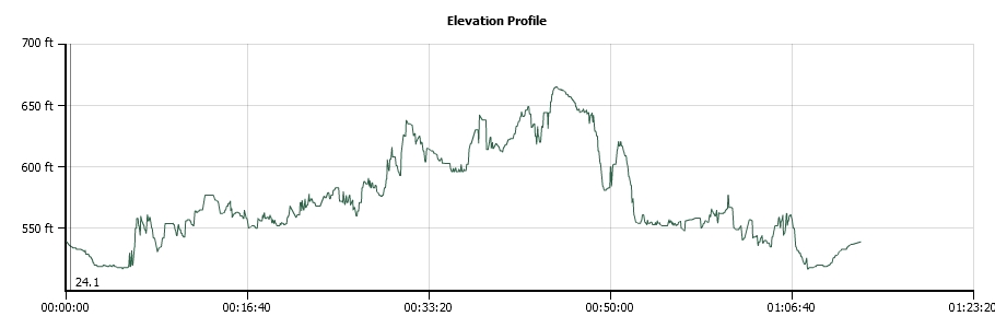
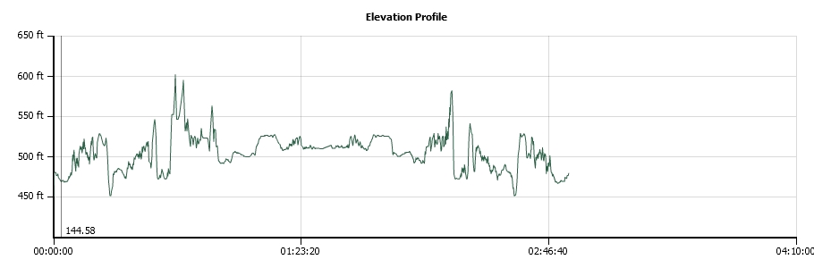
Length: 9.45 miles


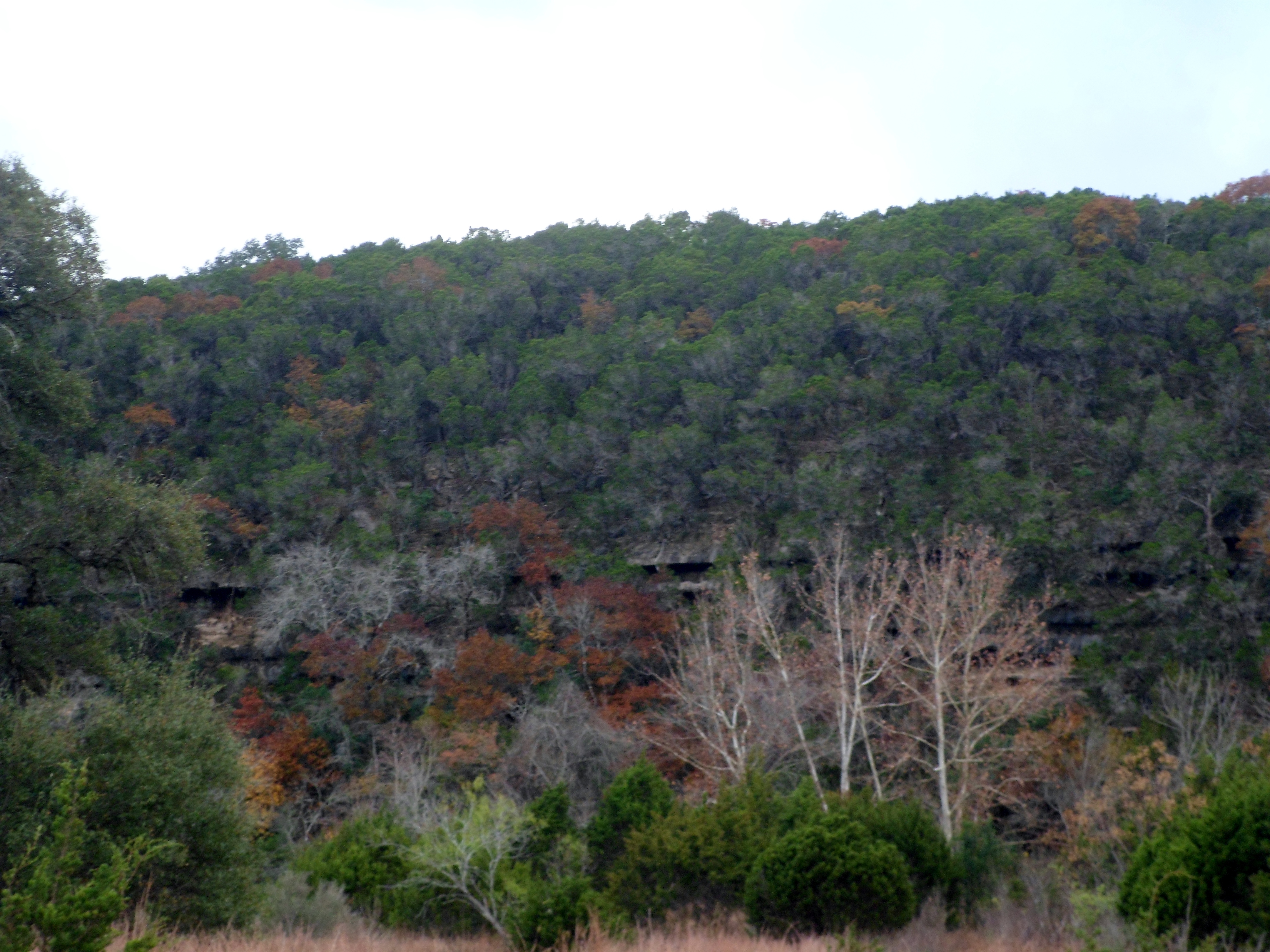
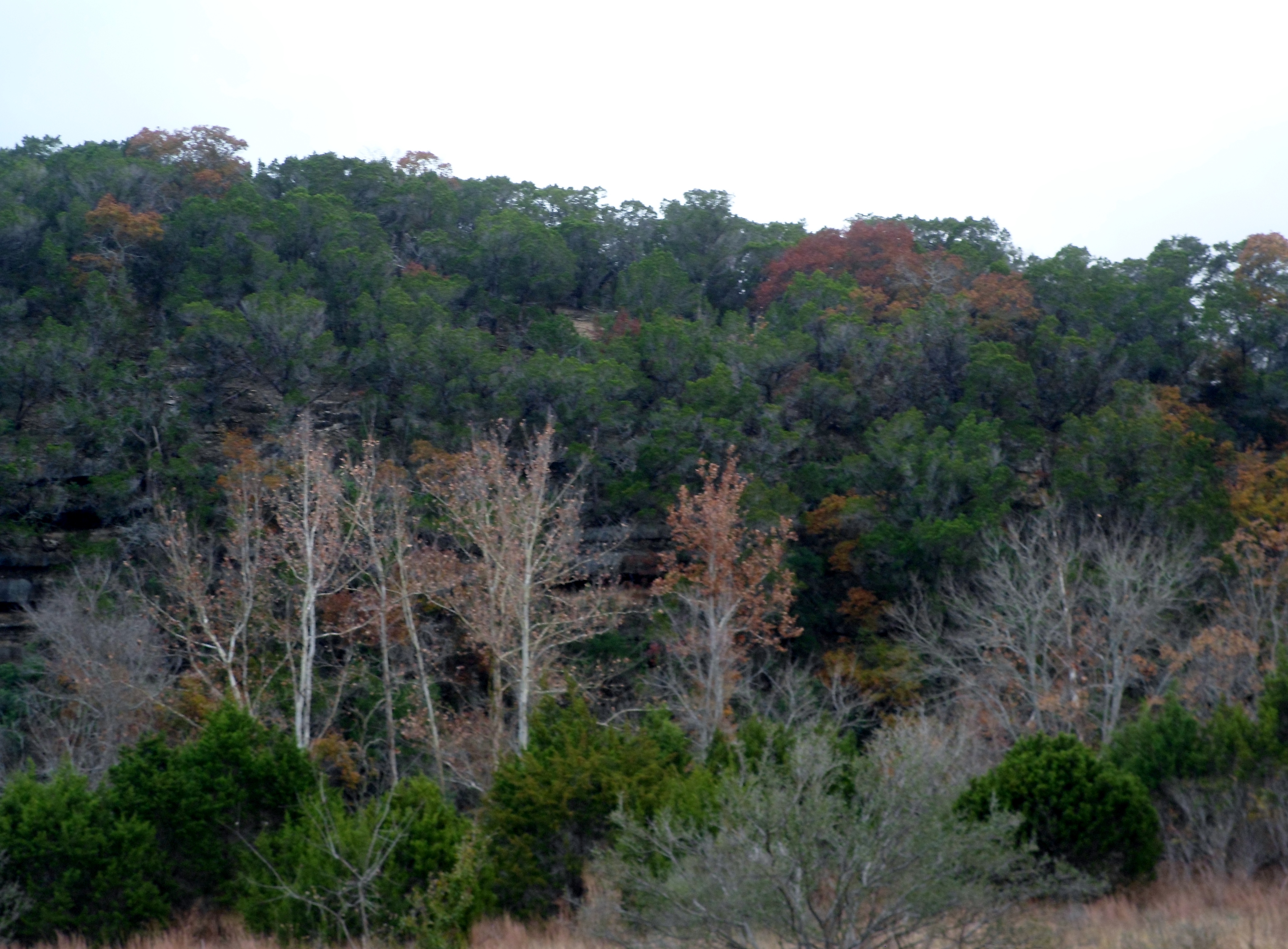
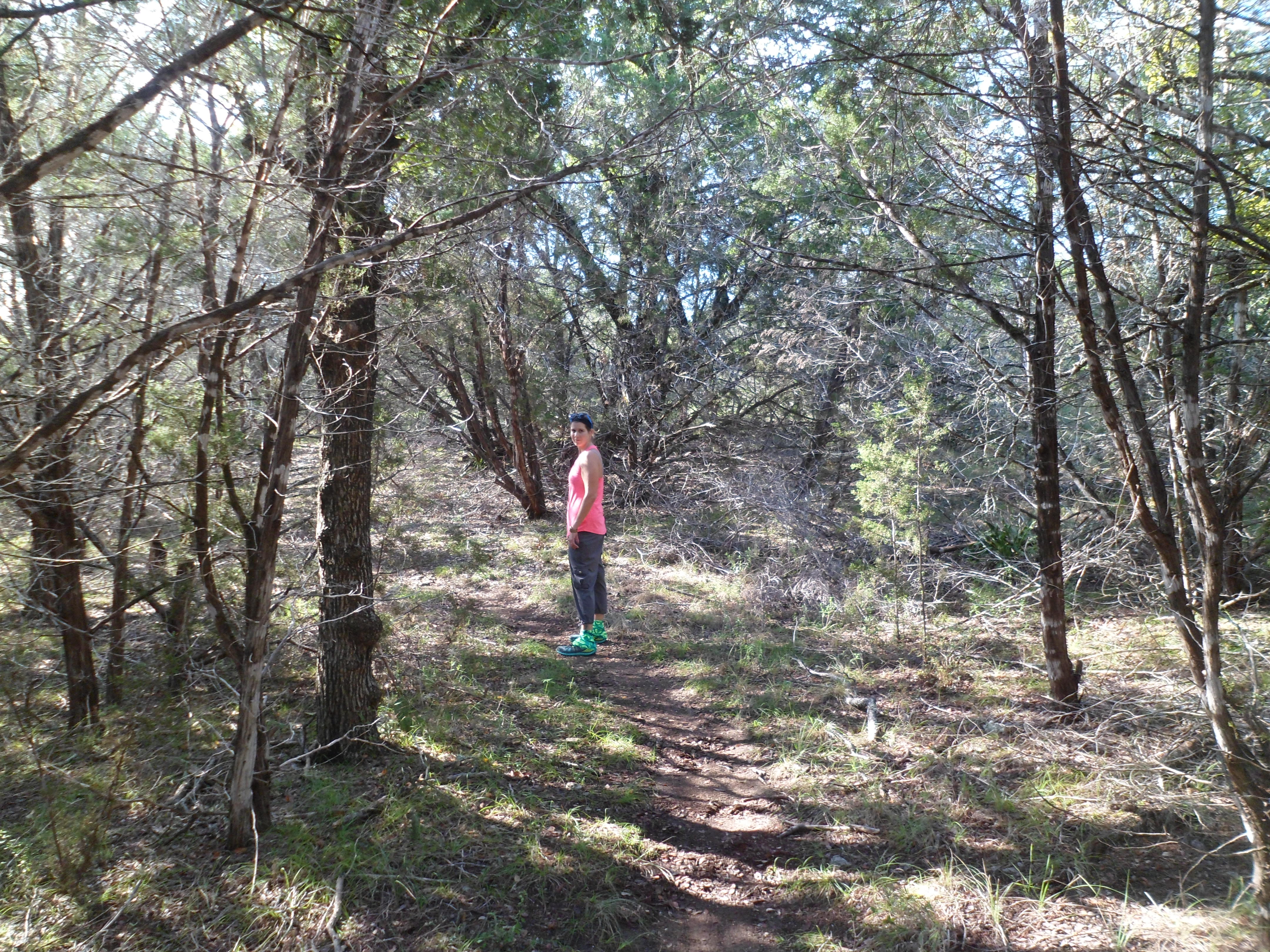
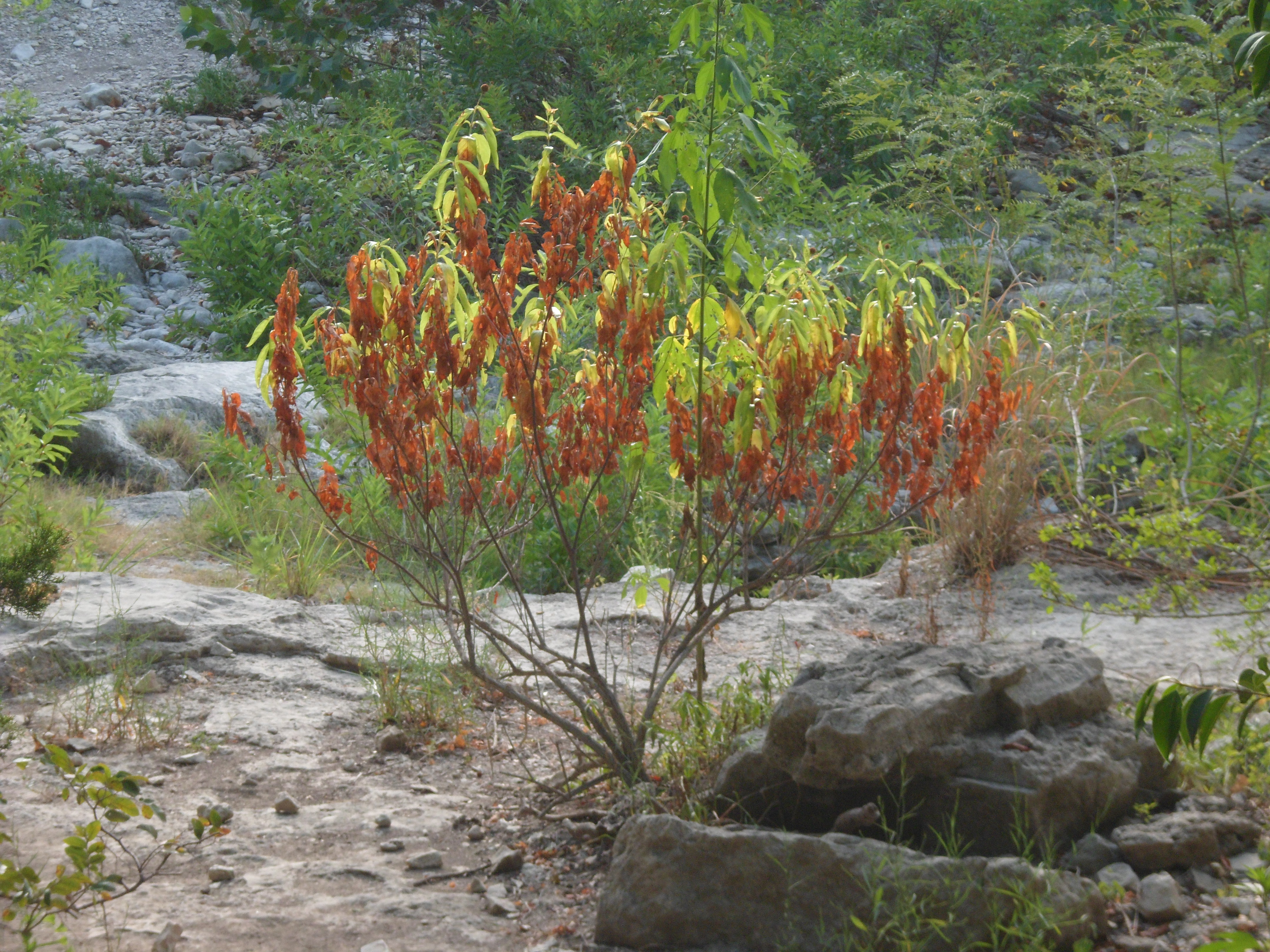
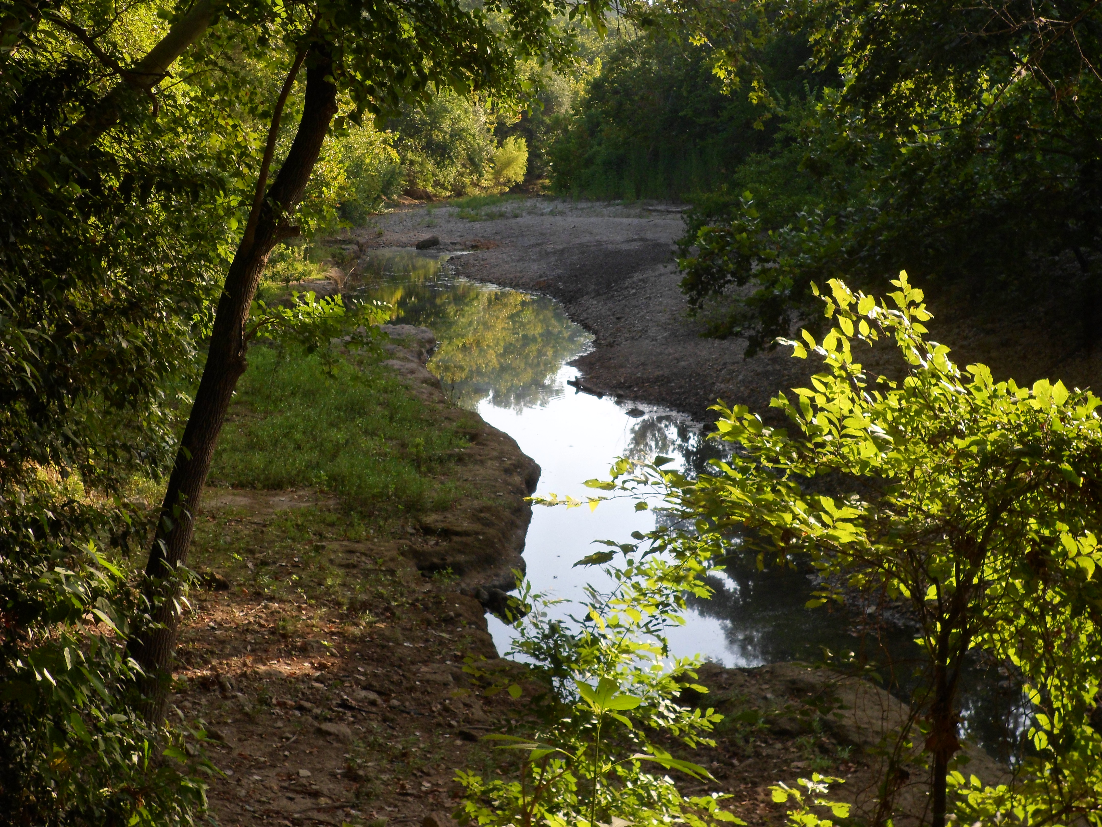
I discovered this trail just a week ago or so and am really glad I did. The trail goes around Lake Georgetown, which is only about 30 minutes north of Austin. The entire loop around the lake runs 26 miles, but we only did a little bit of it today. We went in about 4.5 miles to the Cedar Hollow Camp, ate a small lunch, and turned back. There were a lot of boy scout groups backpacking and quite a few others day hiking as well, but it didn’t feel too crowded. The weather was amazing for January and actually got a bit warm if you were in the sun too long.
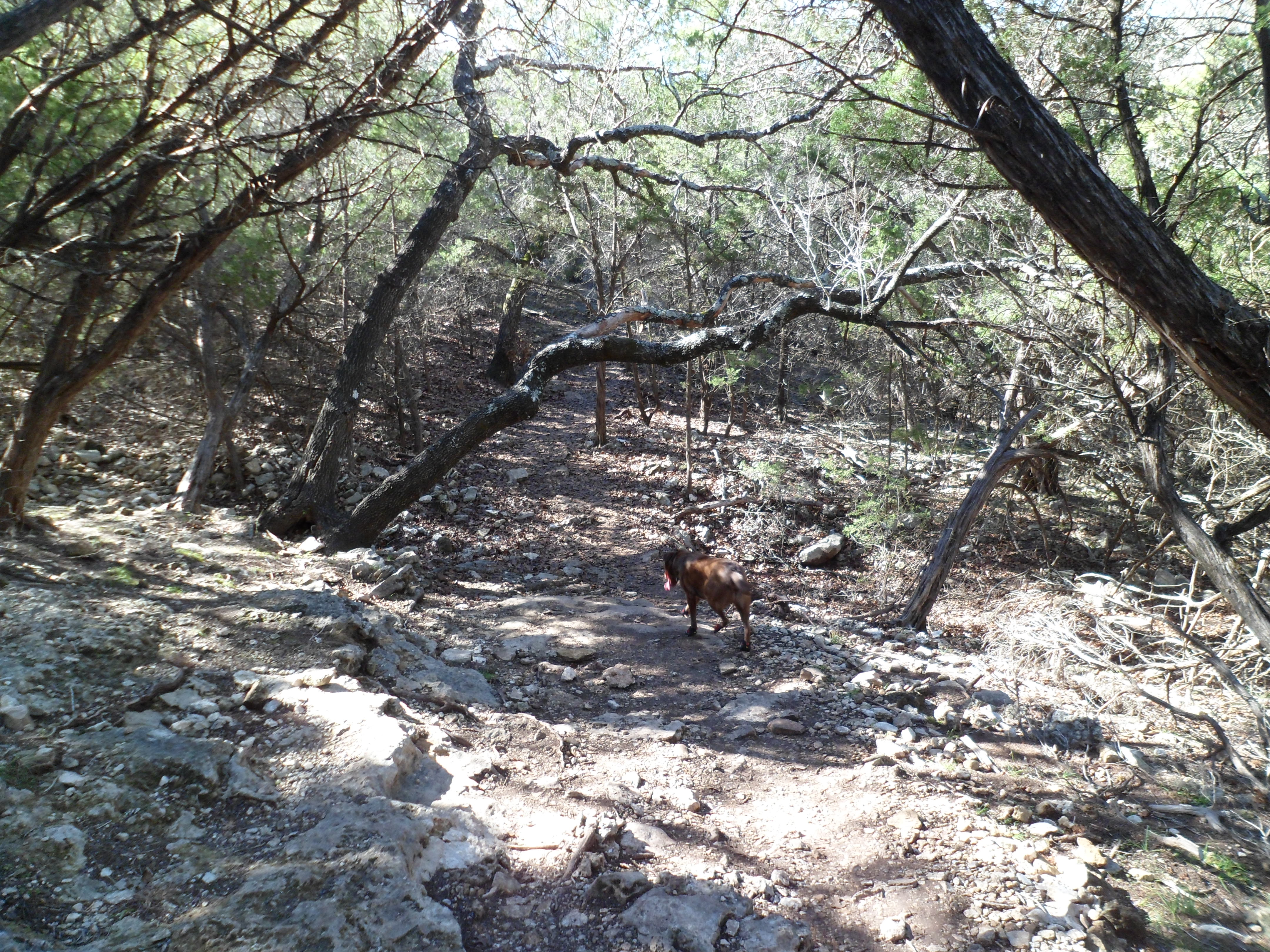
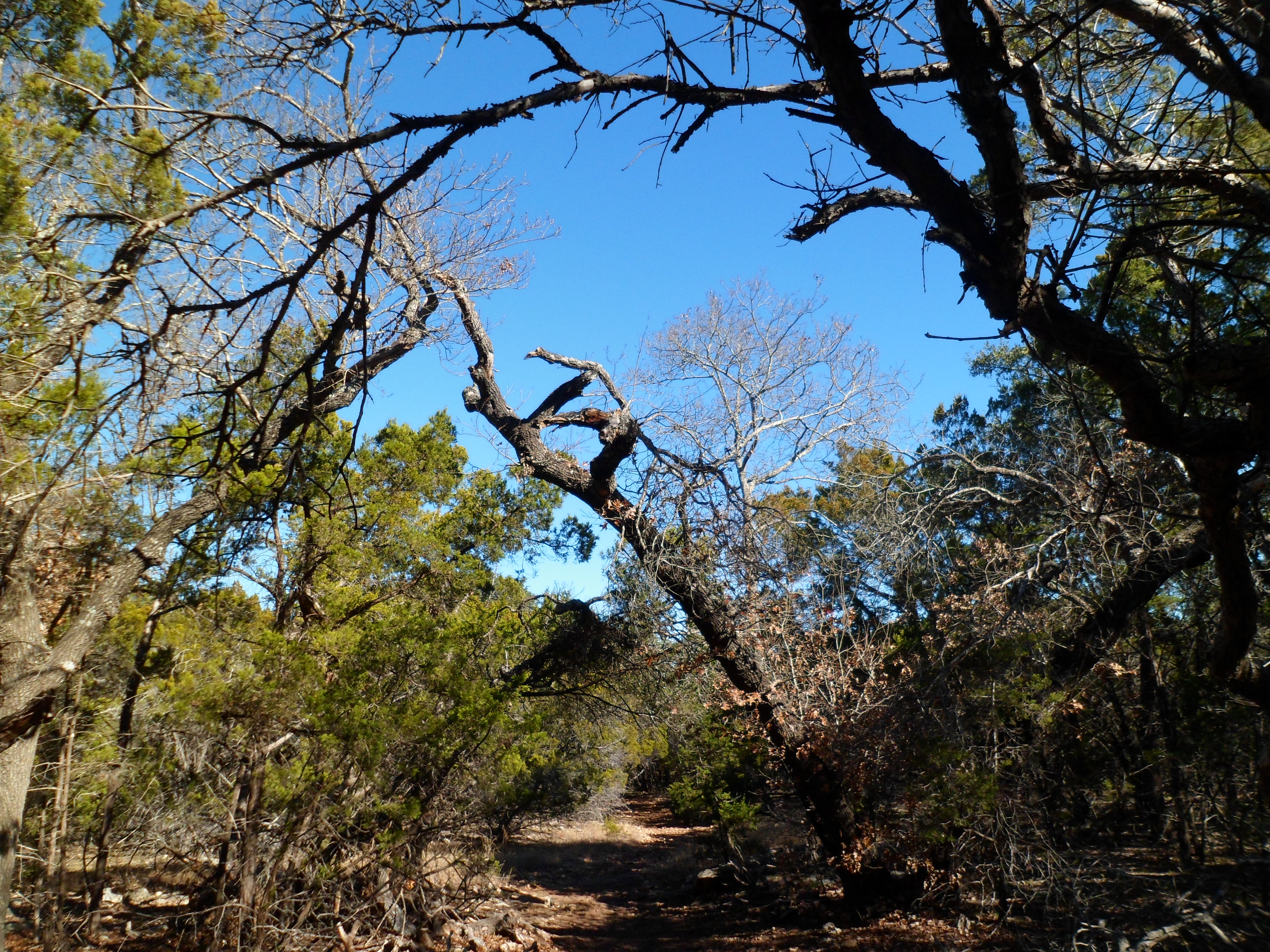
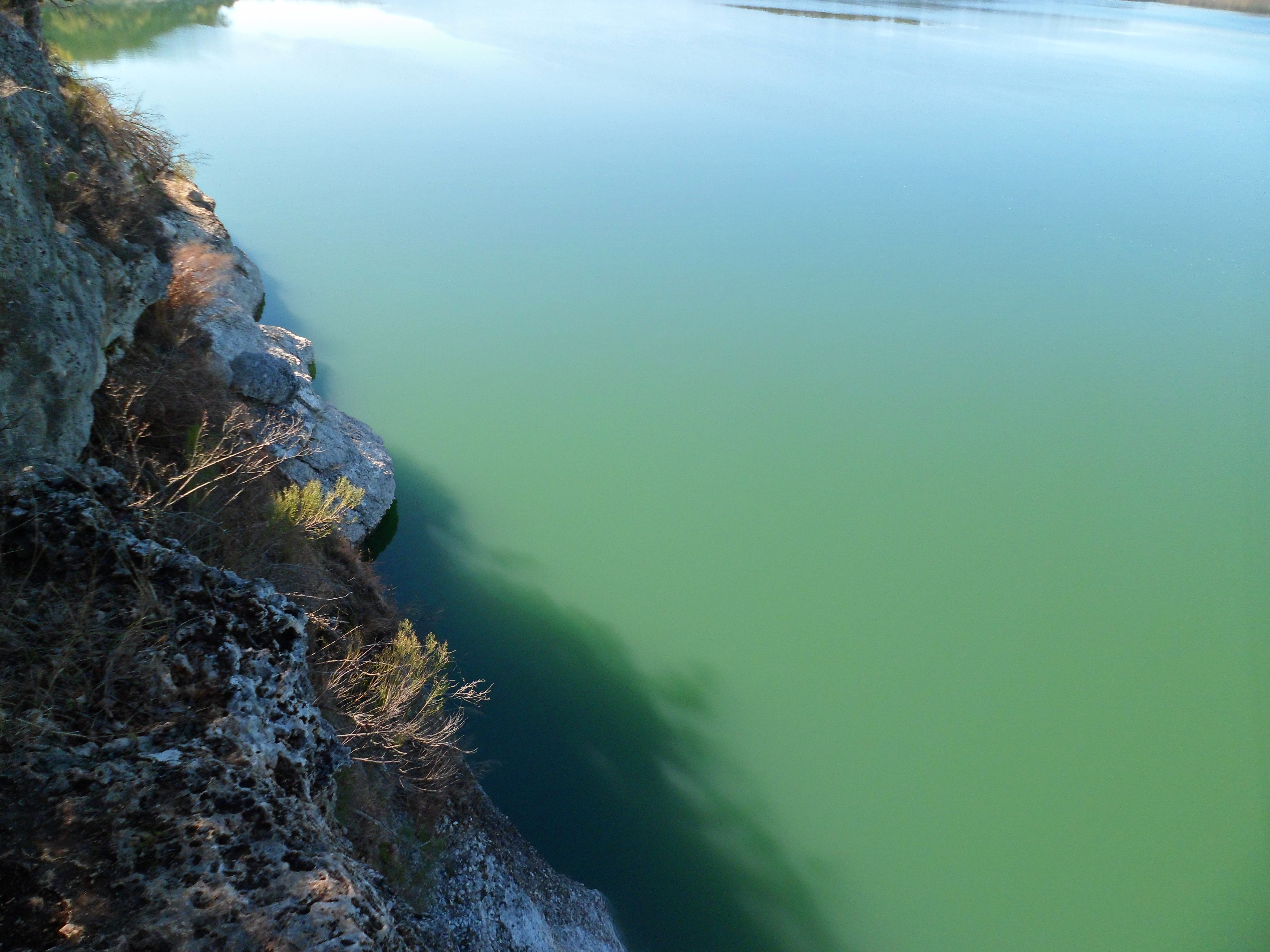
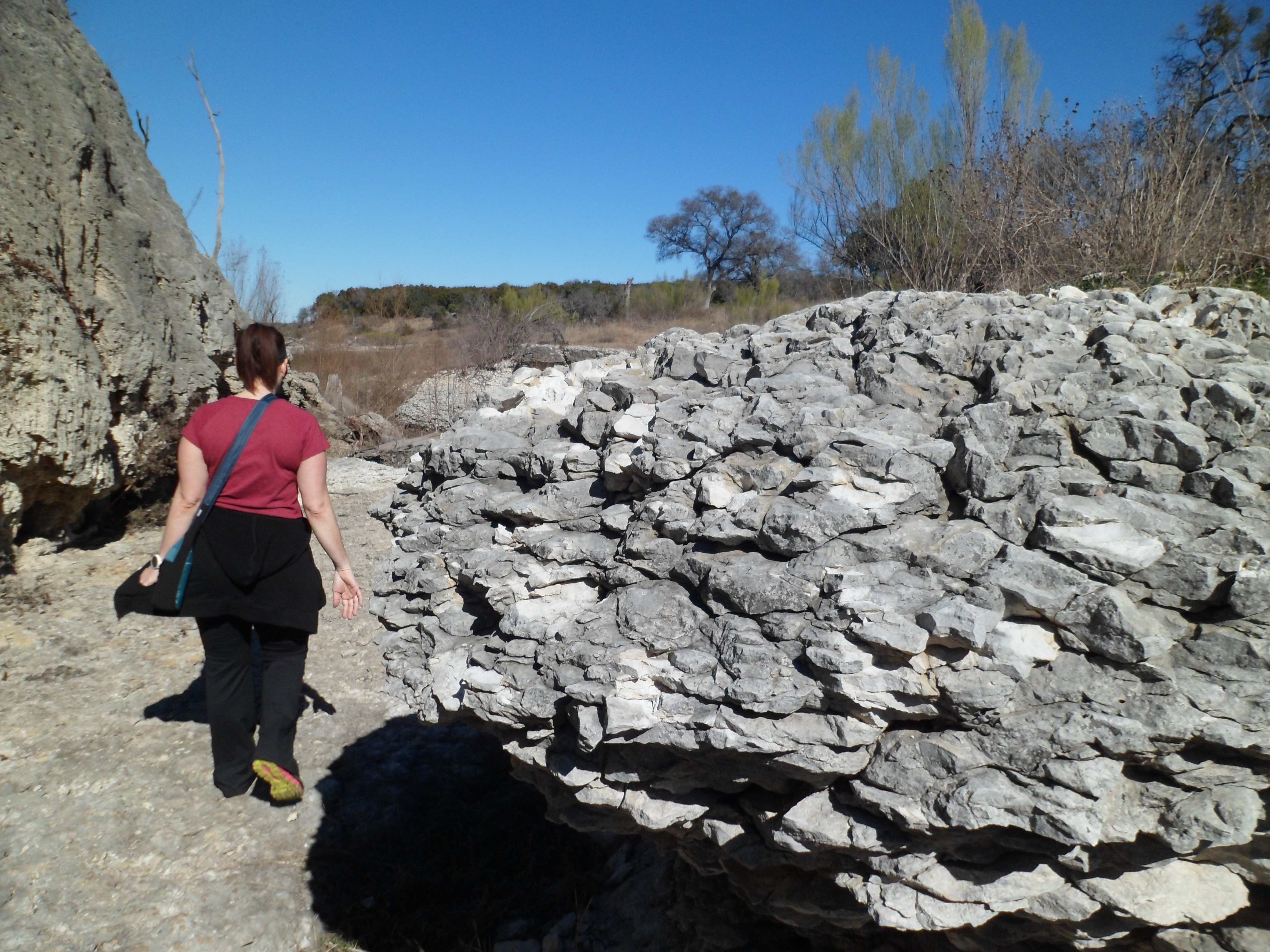
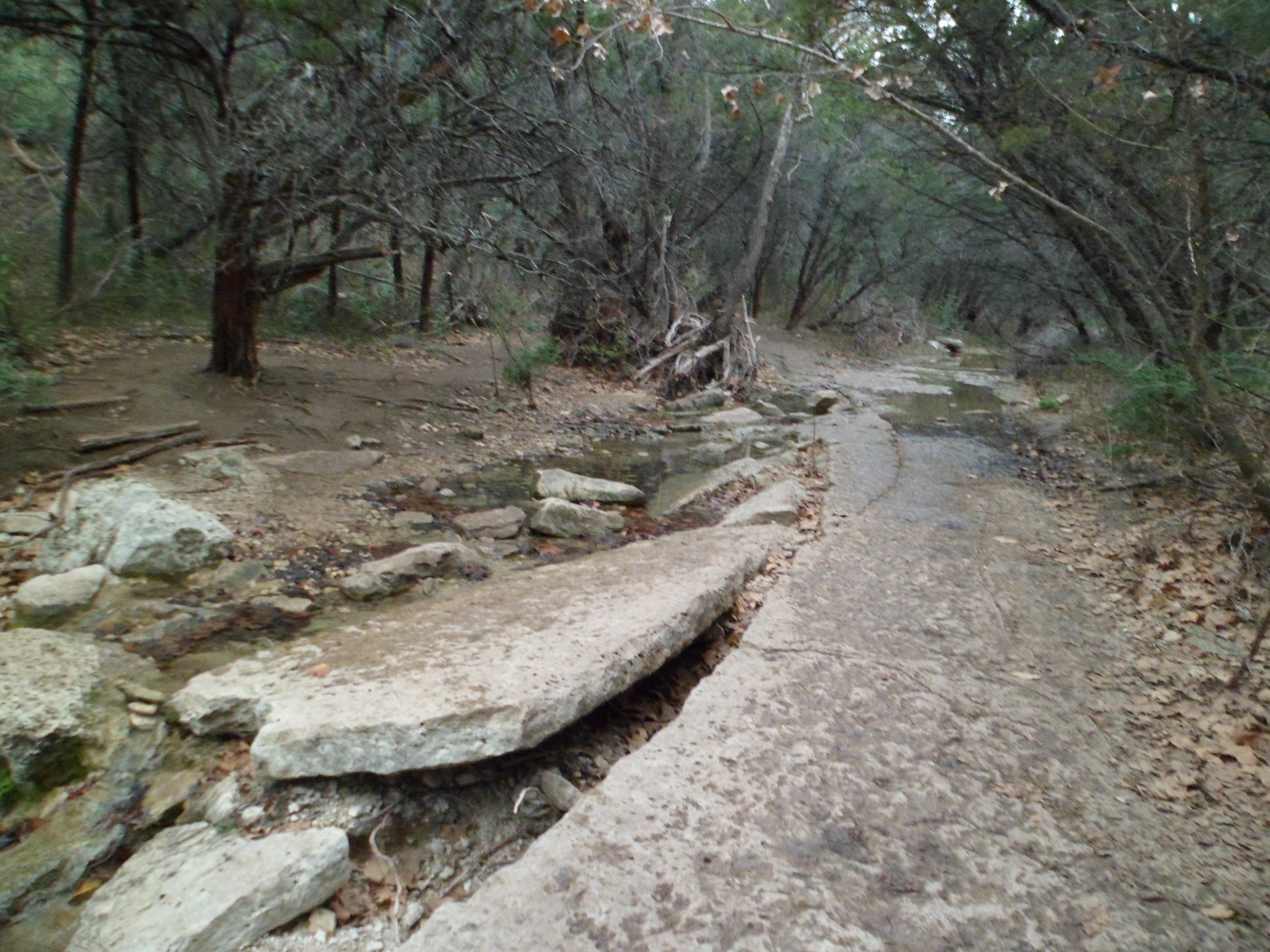
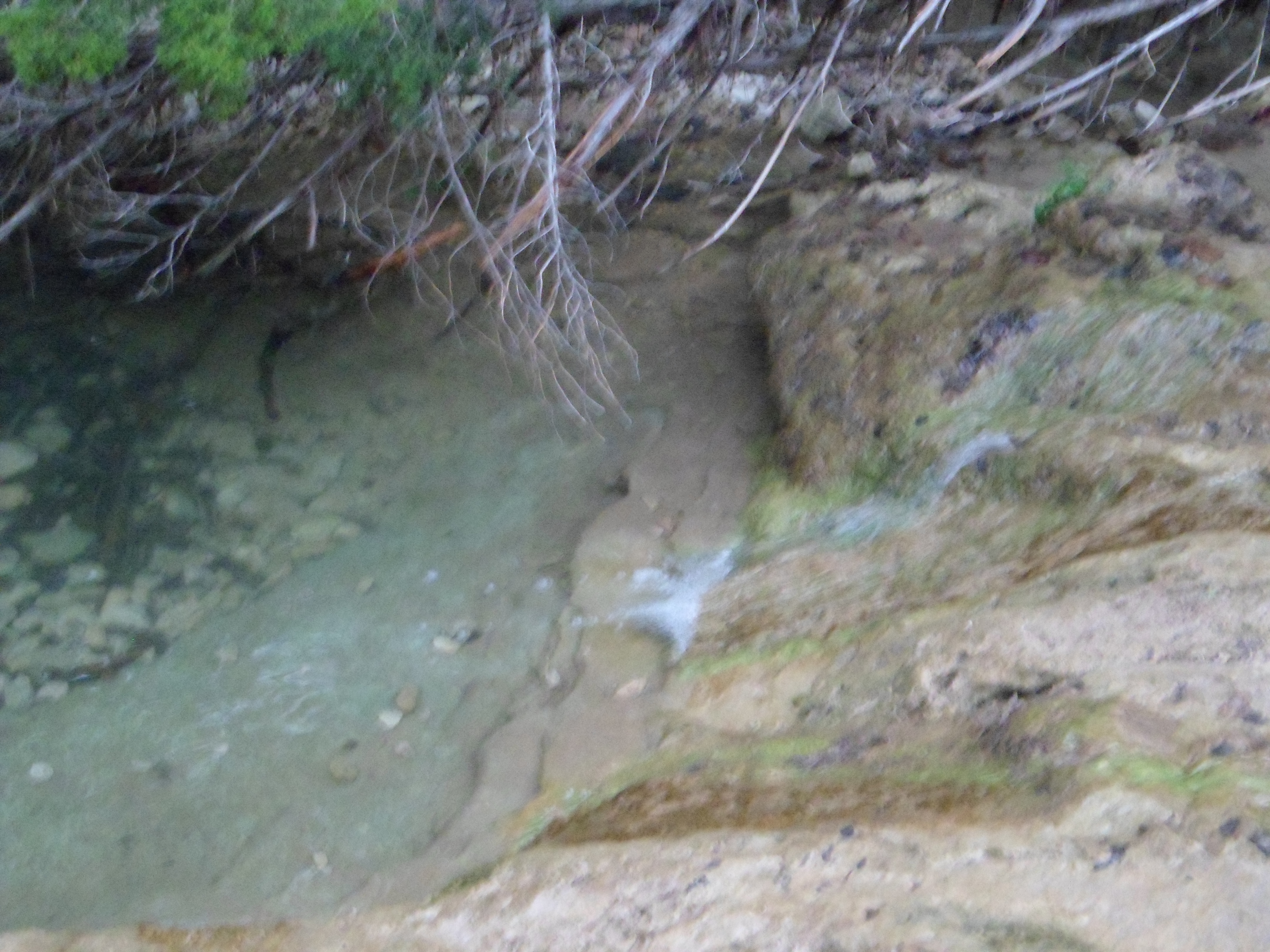
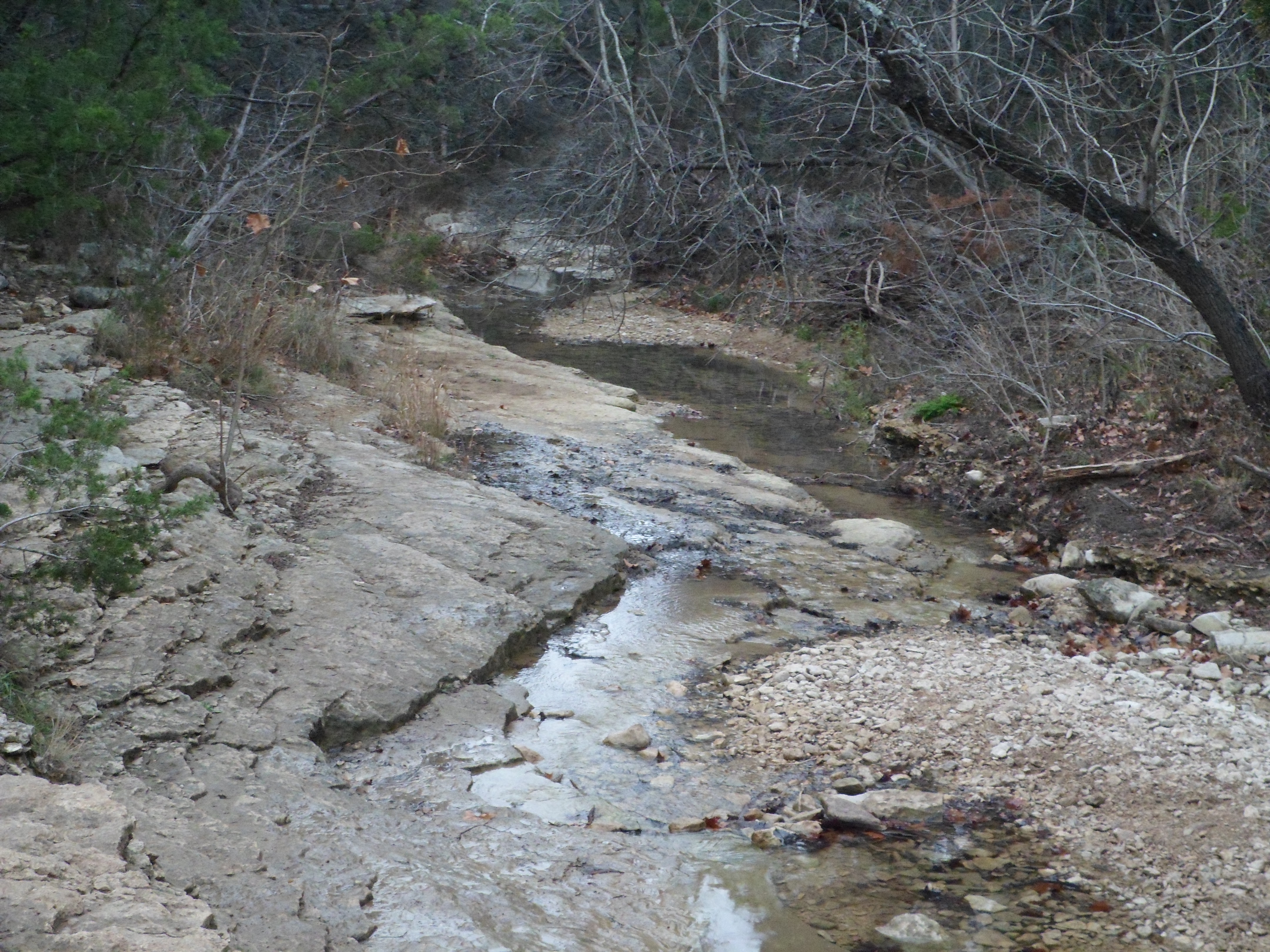
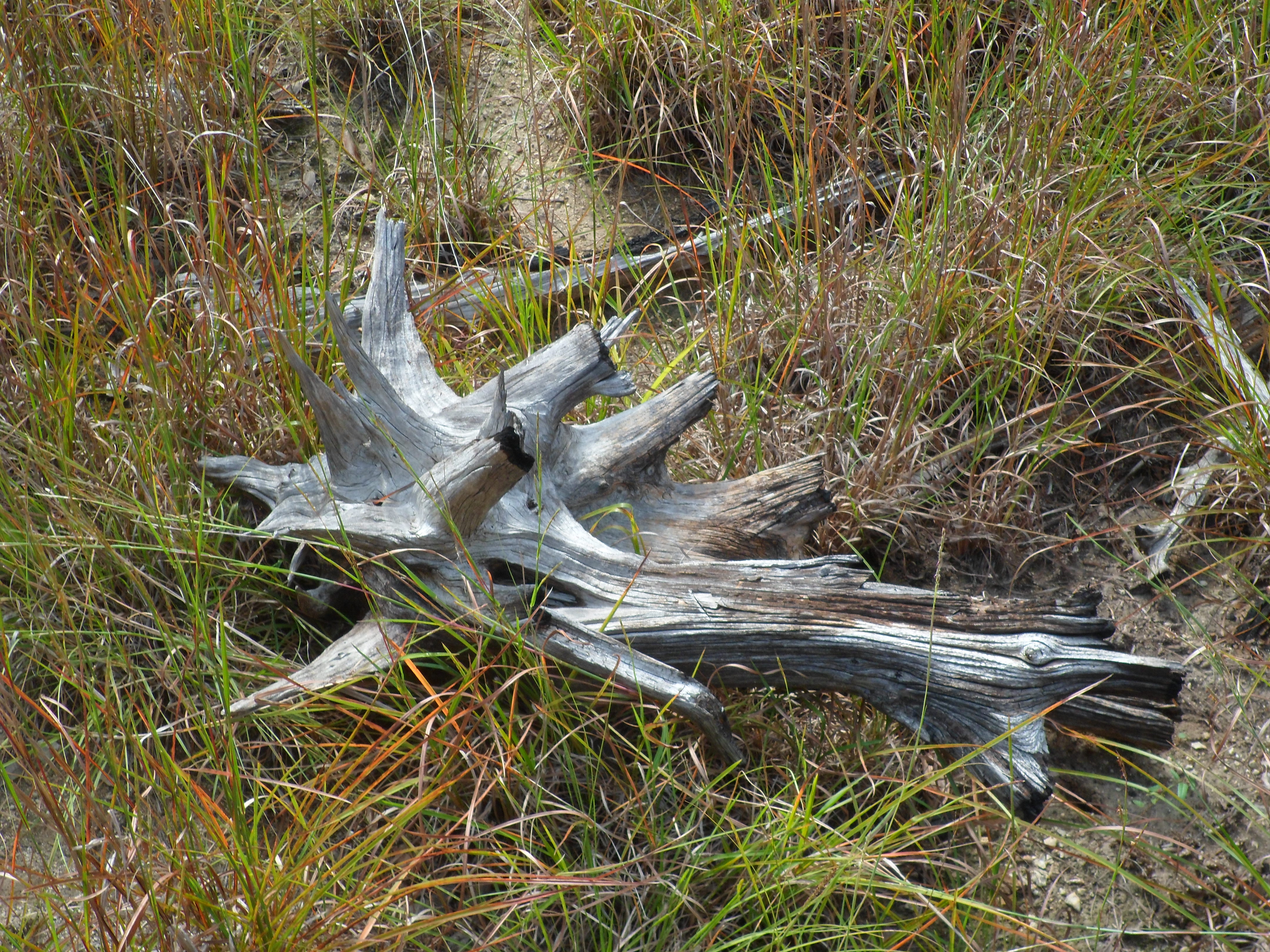
The trail is very rocky and has some decent elevation gain and some great views of the lake. There was one spot that would have been great for cliff jumping, but no way to tell how deep the water was.


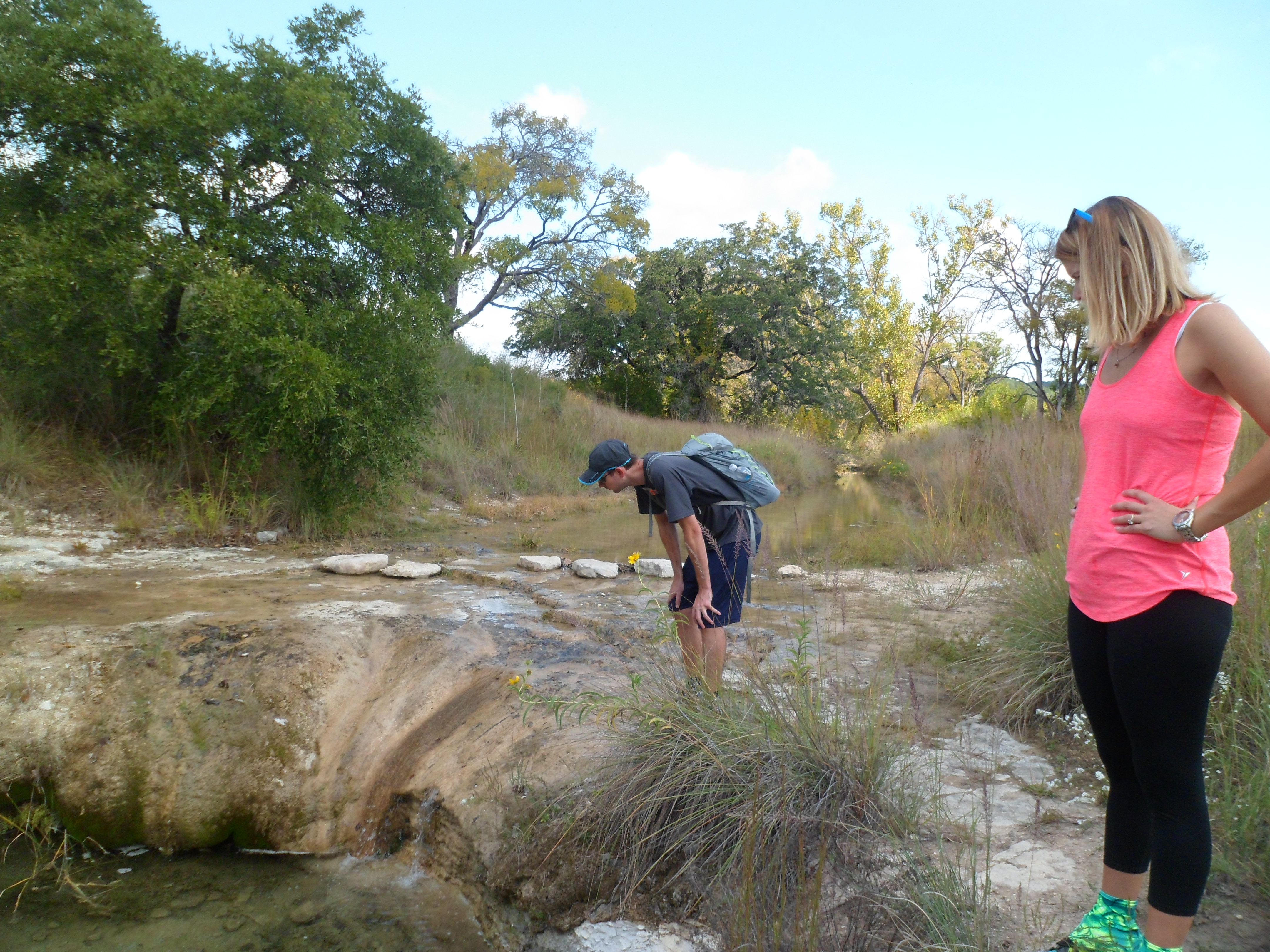
The trail went by some private land and there were two longhorns behind a fence that were very pretty. One of them had injured his eye and was bleeding down his face. Court wanted to help him somehow, but there was nothing we could really do. On the way back, however, they were gone so hopefully the owner saw the situation and took his longhorn to the vet.


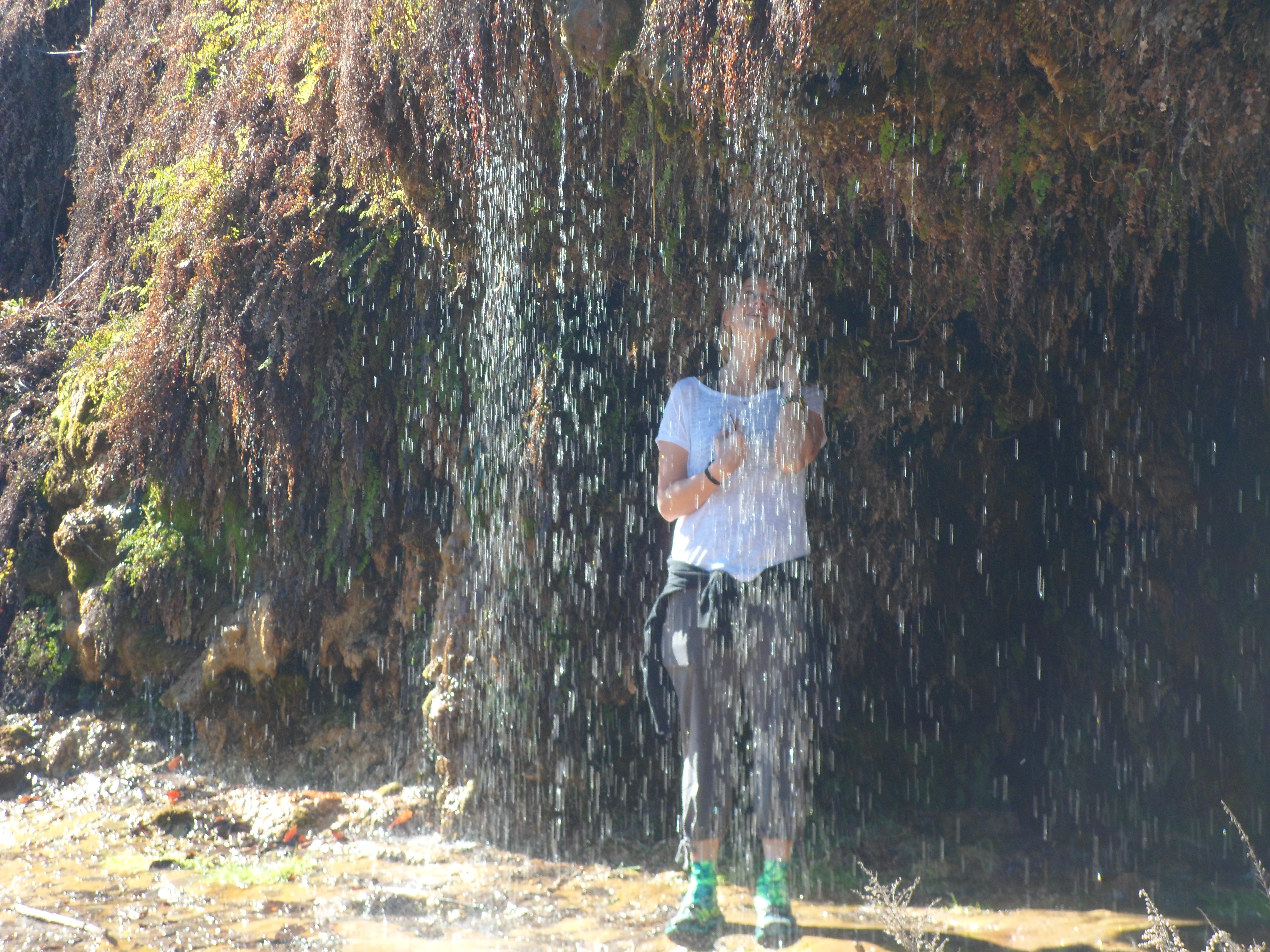
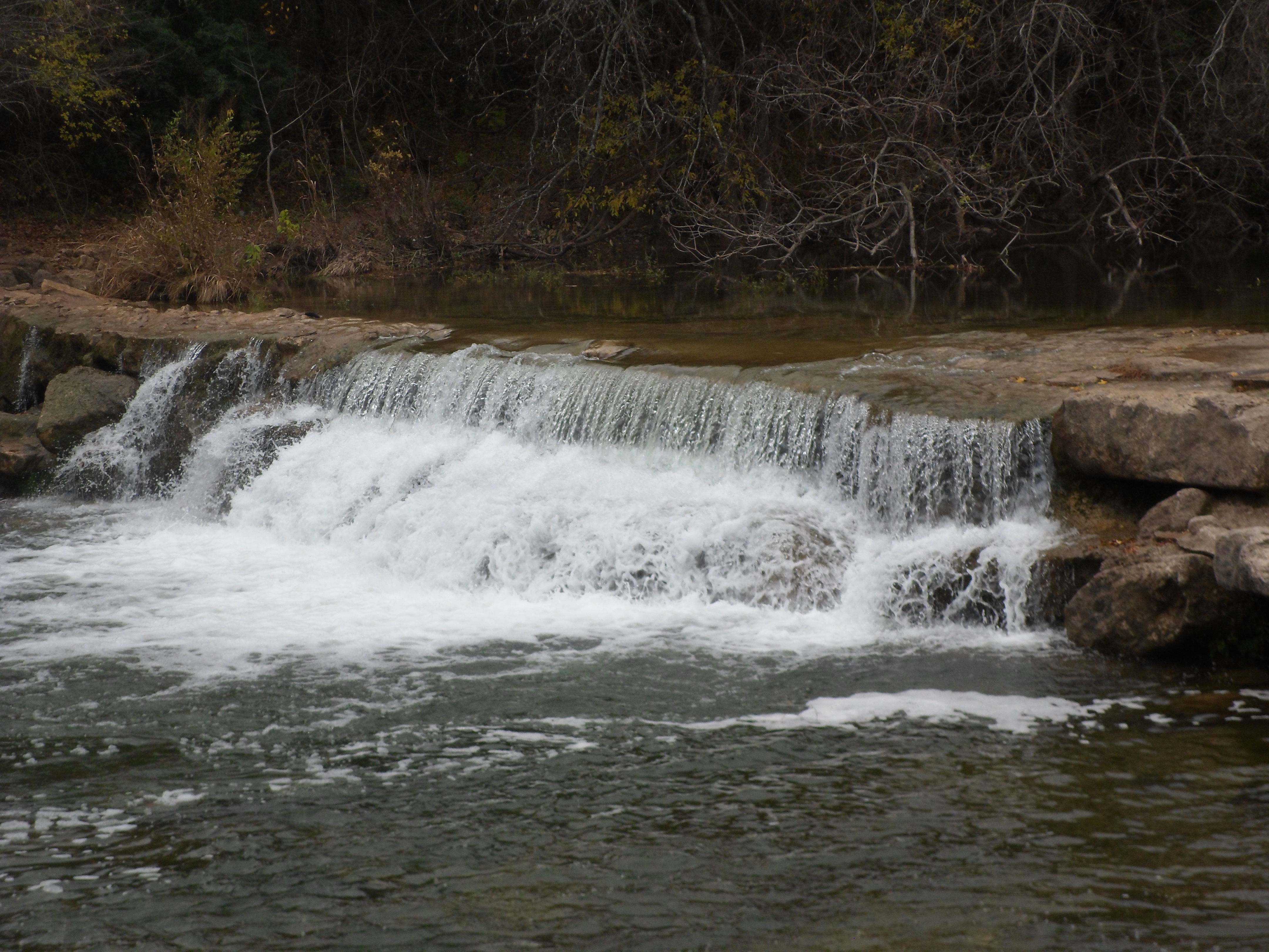
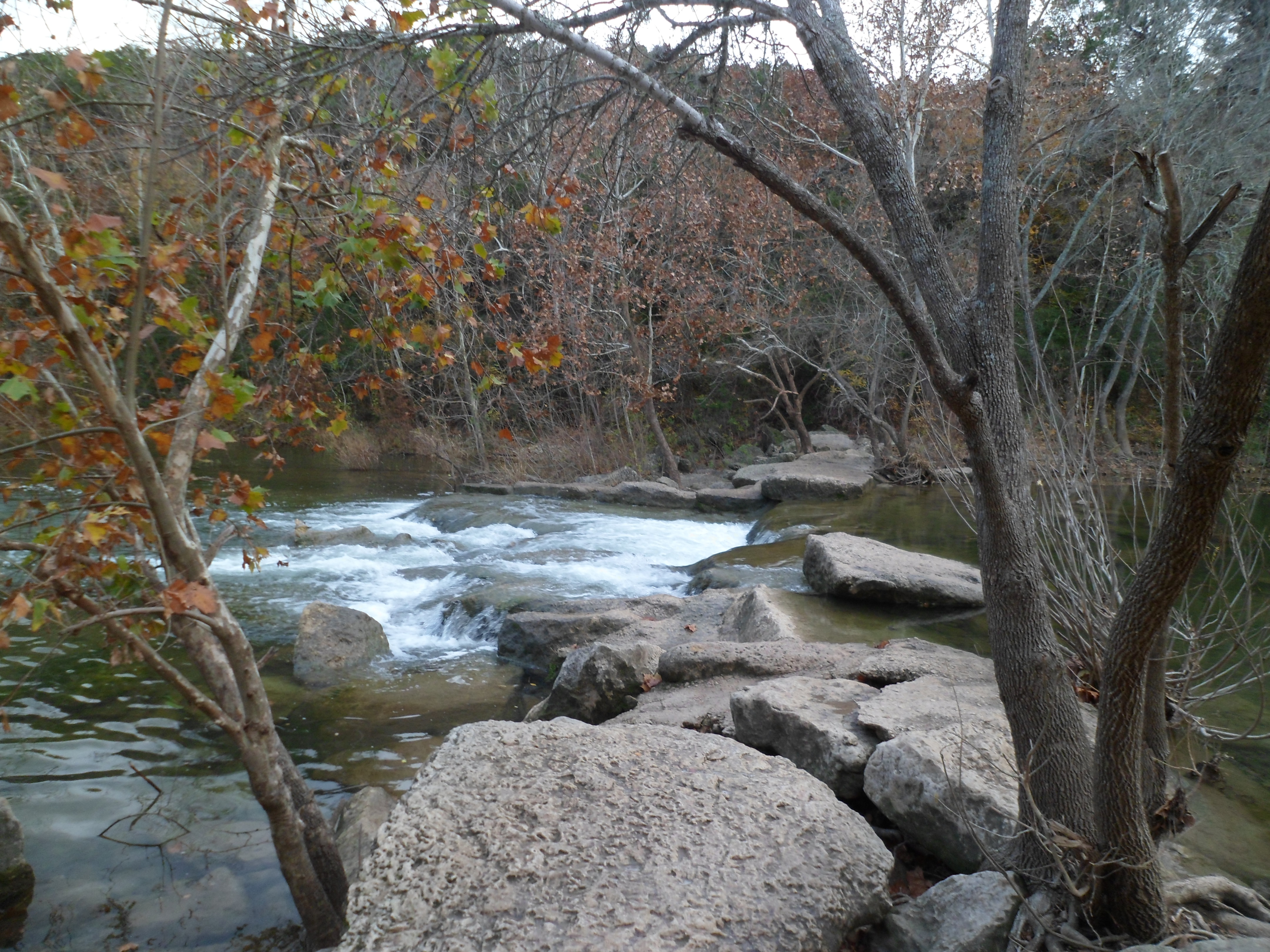
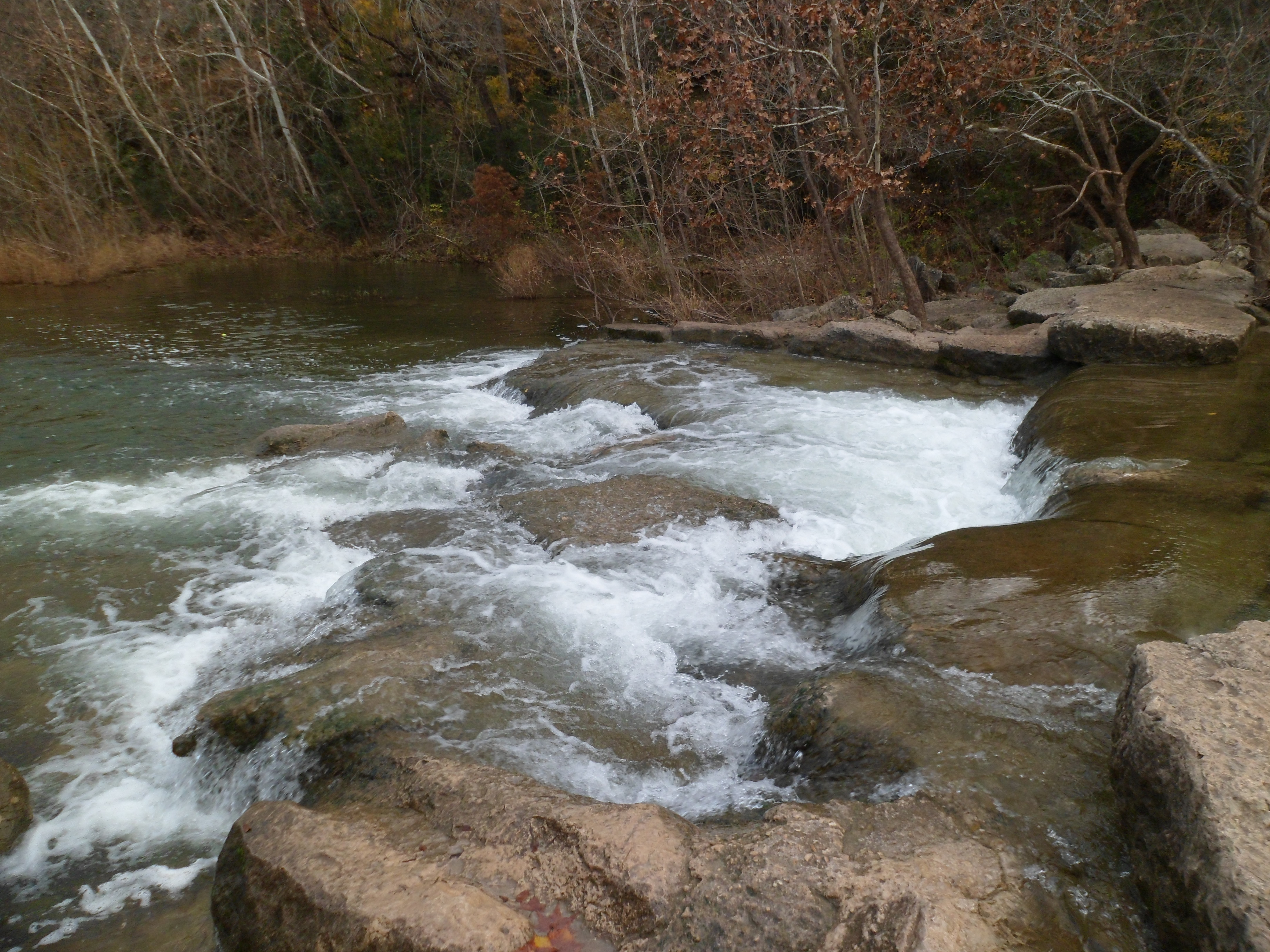
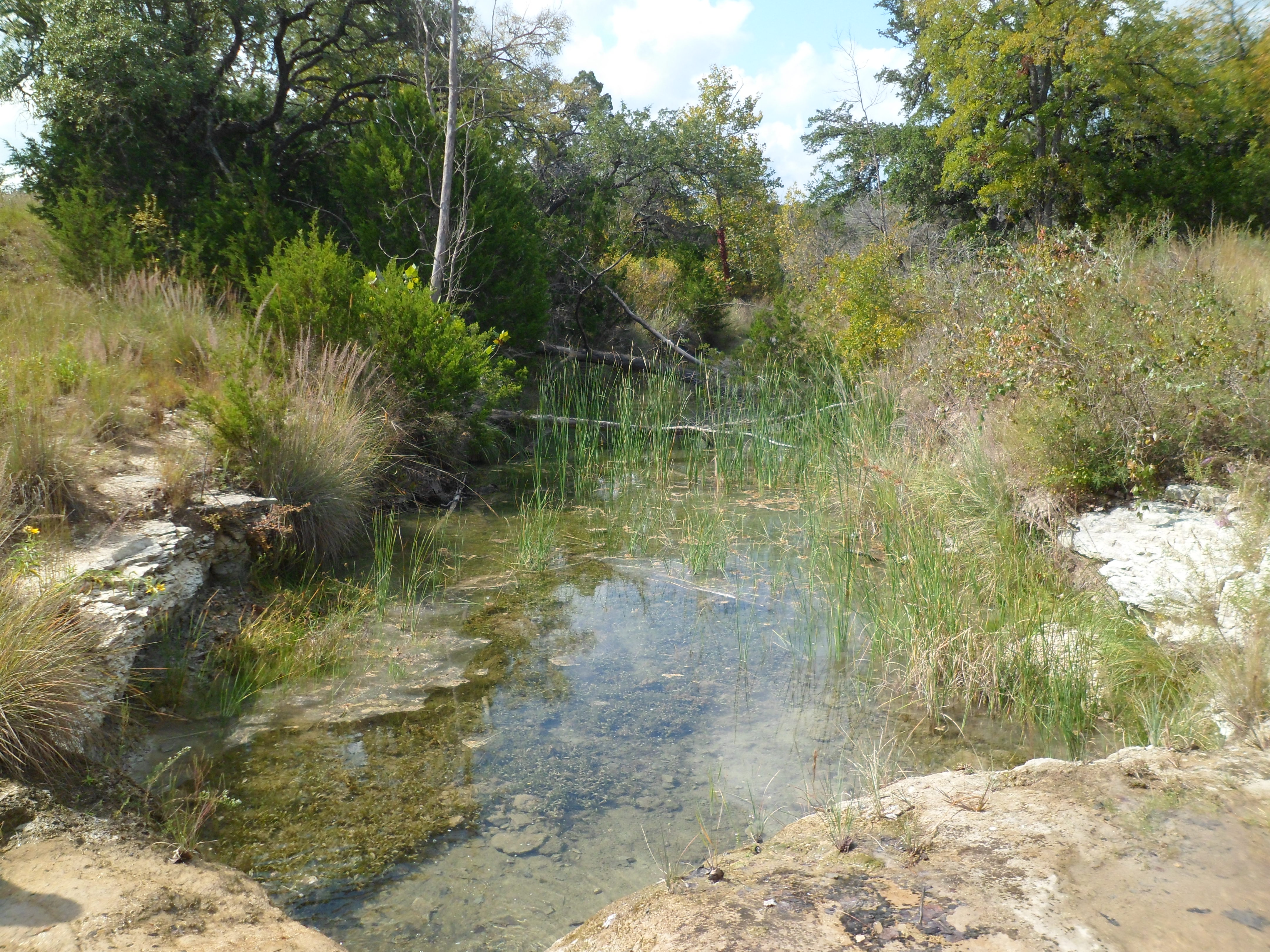
Just after the longhorns, we came to the highlight of the hike, Crockett Garden Falls. We almost didn’t bother going down the side trail to the falls, but an older couple coming up told us we should go check it out. The falls were very beautiful and I got a short video too.


The rest of the hike was nice and we got to the campsite and had it all to ourselves. There are several primitive campsites along the 26 mile stretch where backpackers are allowed to camp. This site was on a peninsula overlooking the lake and I’m sure it is a nice place to stay and stargaze. Maybe next time. We took a short break and got some calories in us before we headed back the way we came.


Towards the end we all started to feel it a bit in our feet, but we made it with no problems. I passed up the opportunity to use my Sawyer Squeeze Mini water filter for the first time at the falls on the way back, but I wish I hadn’t, as we were pretty much out of water when we got back to the car.
This was a great trail and we will definitely be back to do some more sections and will probably go for an overnight or two once we get all of our backpacking gear together. Greg made a good point that this would be a good training hike for a longer mileage backpacking trip or even a thru-hike at some point.


Turkey Creek Trail 12/27/14
December 27th, 2014
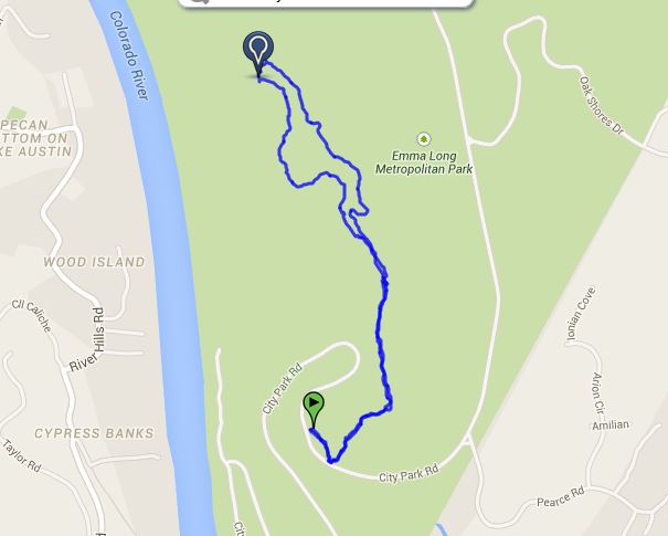
Hike: Turkey Creek Trail, Austin, TX
Weather: overcast, drizzly, lower 50s
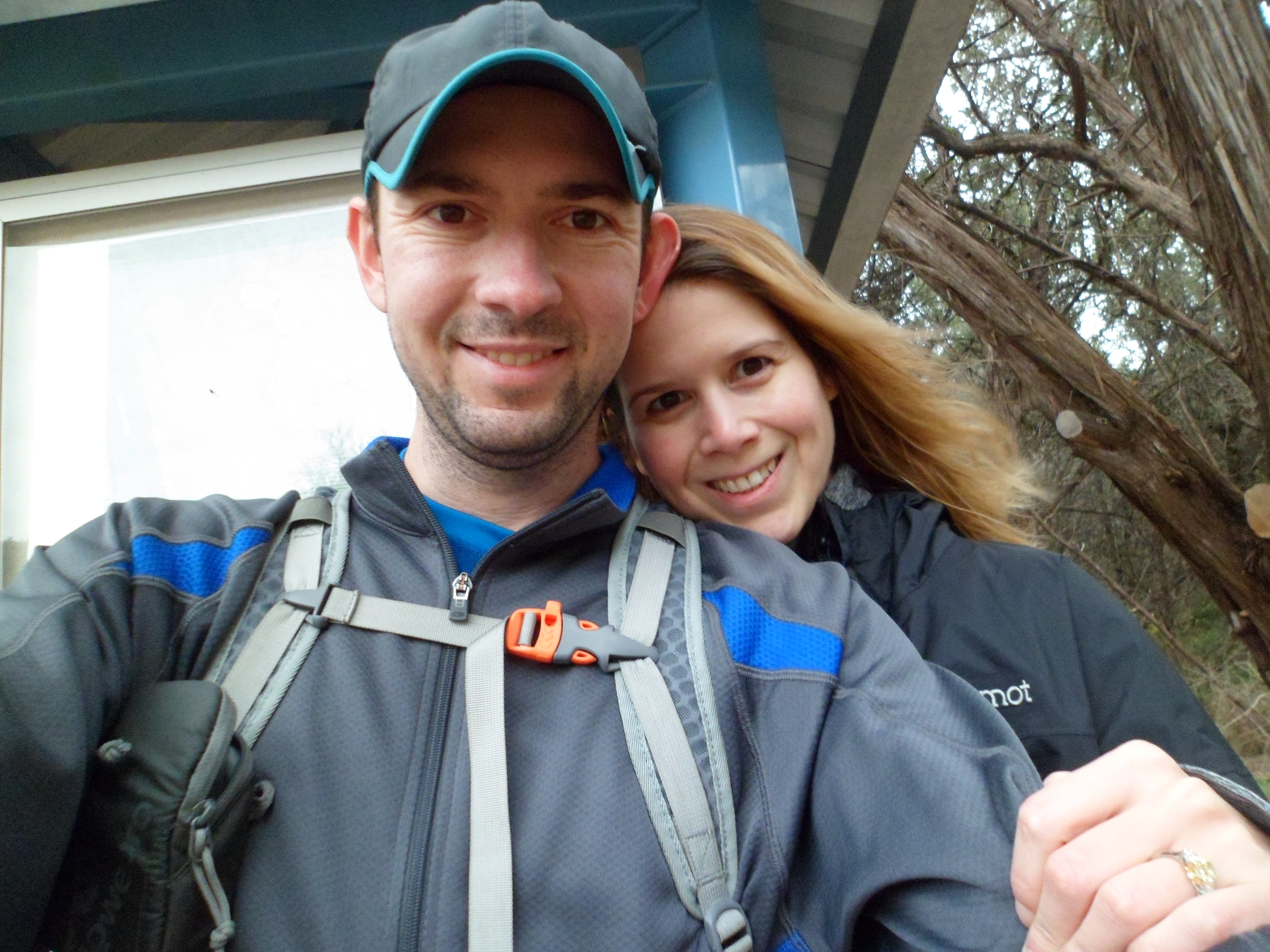
Hikers: Ian and Court
Length: 2.83 miles
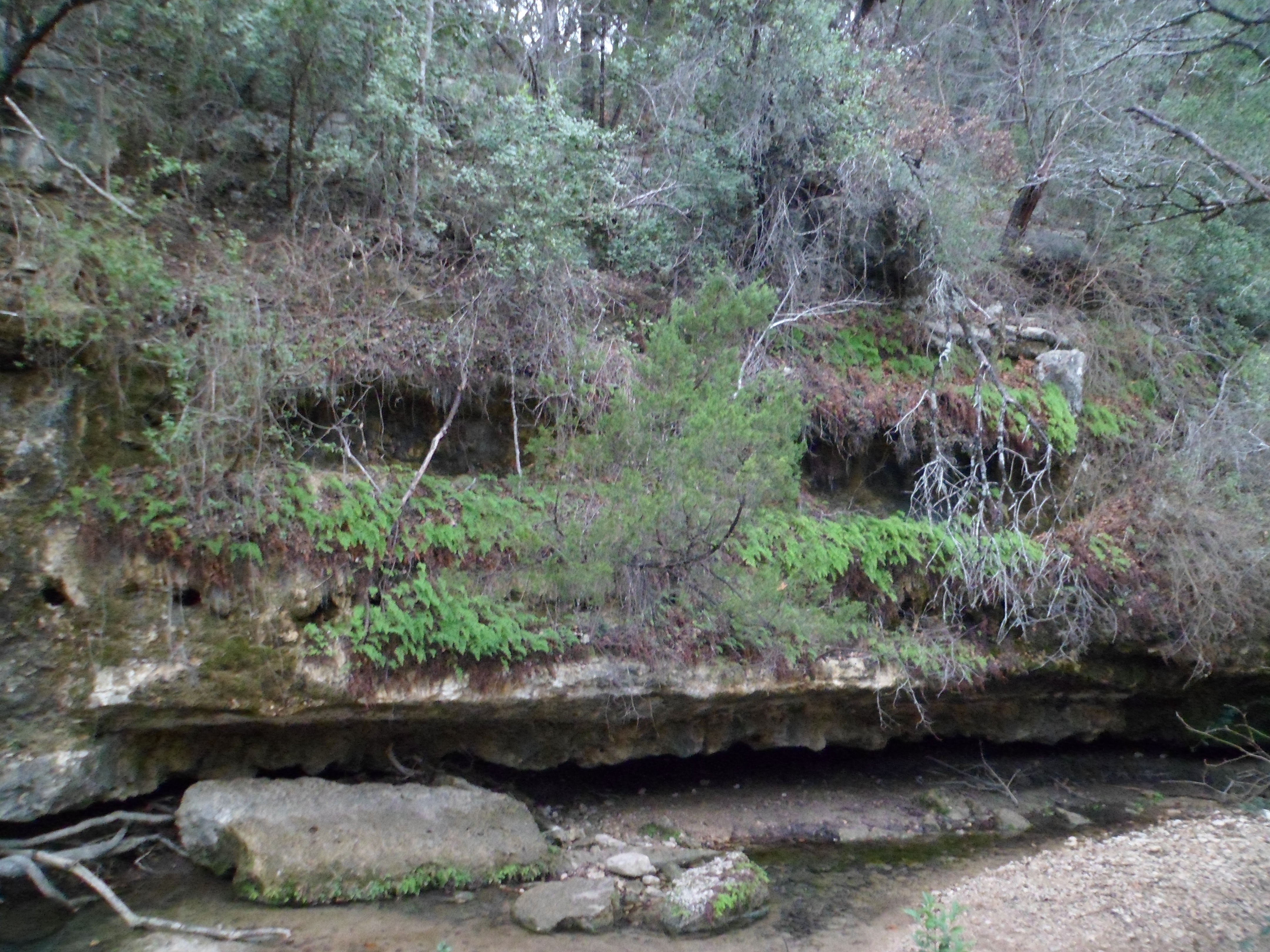
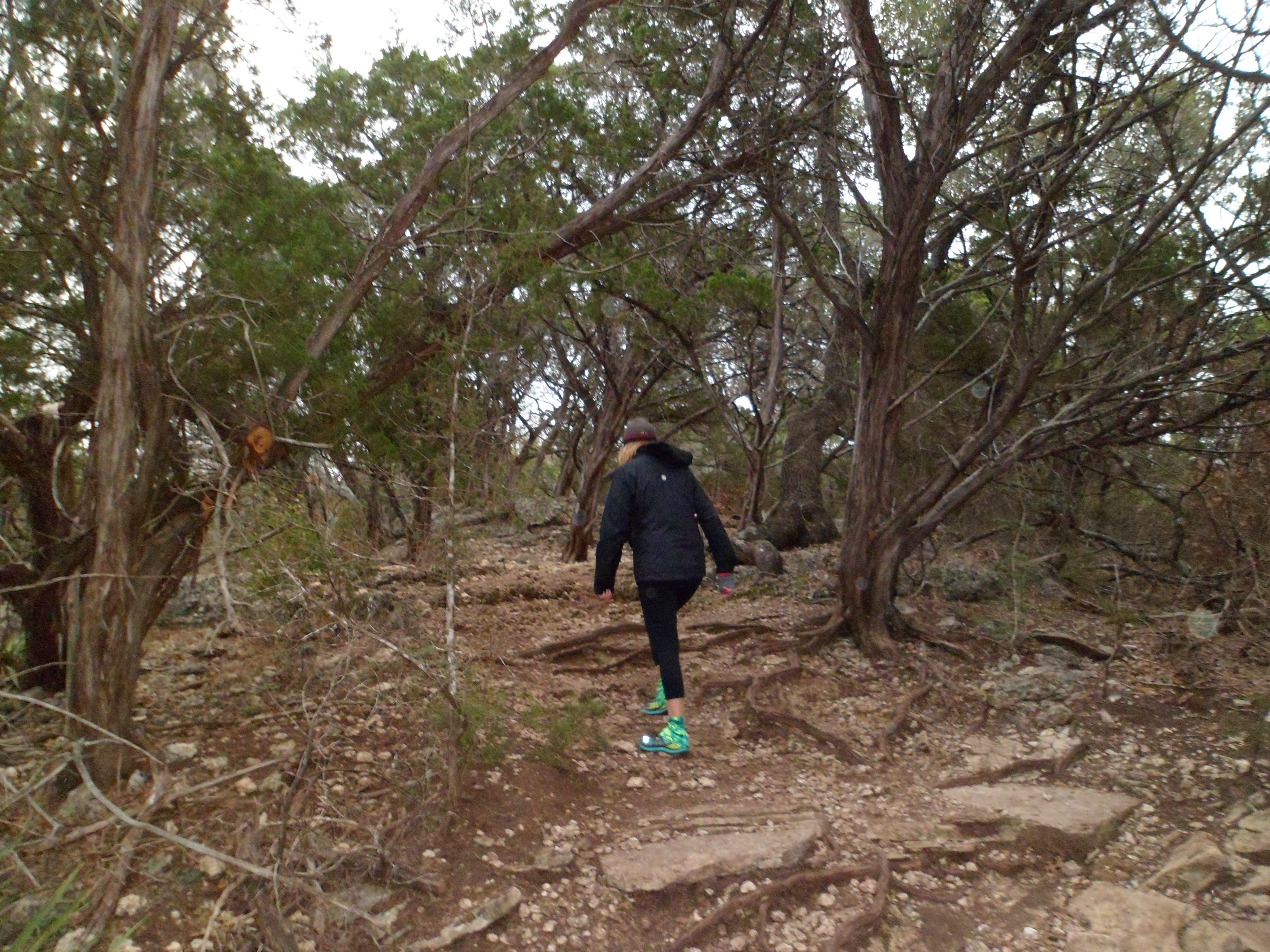
We went out to Emma Long Park this morning and did the quick loop of the Turkey Creek Trail. It was pretty chilly and rainy so the trail was not too crowded. We hit the trail a little after 8am and got done by 9:30. There were a few other hikers and the usual parade of dogs, but most of the time it felt like we had the trail to ourselves.


The trees are in full winter mode so there’s not much foliage, but there was some water running and it was a relaxing hike to start a cold December morning.
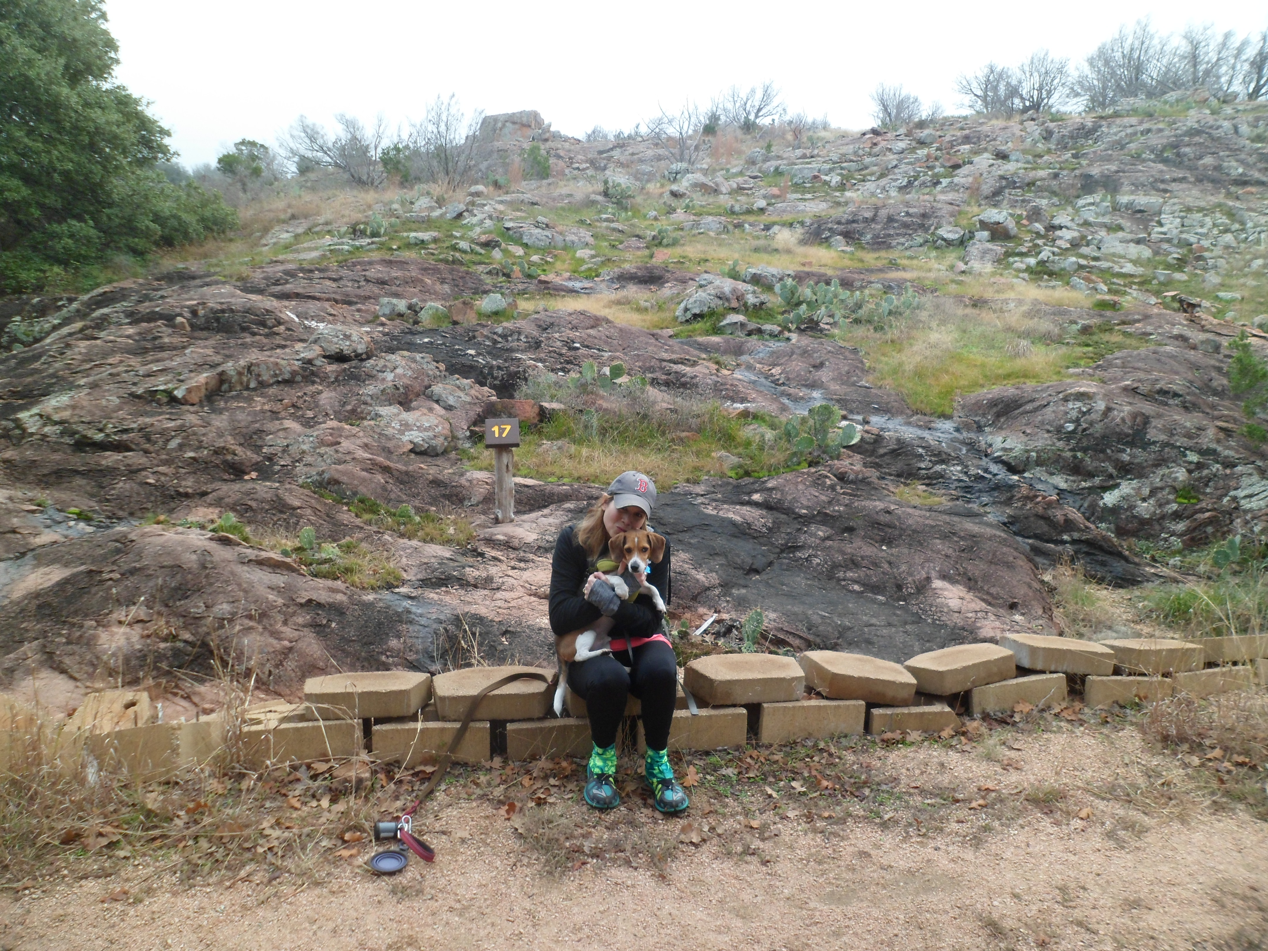
Inks Lake Overnight 2 – 12/12/14-12/13/14
December 12th and 13th, 2014
Hike: Inks Lake – Multiple Trail Loop, near Burnet, TX
Weather: Overcast to sunny, upper 50s to lower 70s
Hikers: Ian, Court, Biff
Length: 6.47 miles
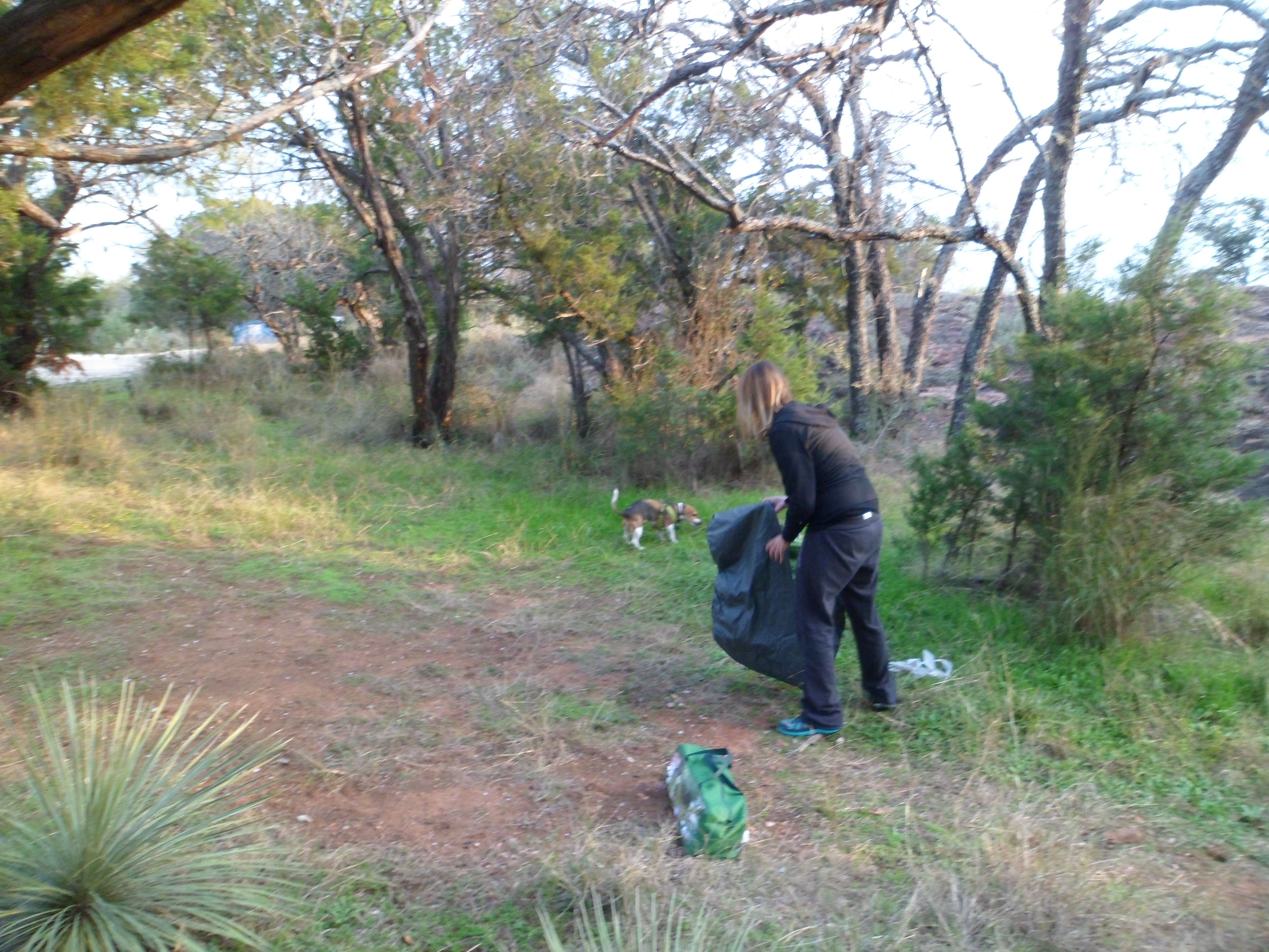
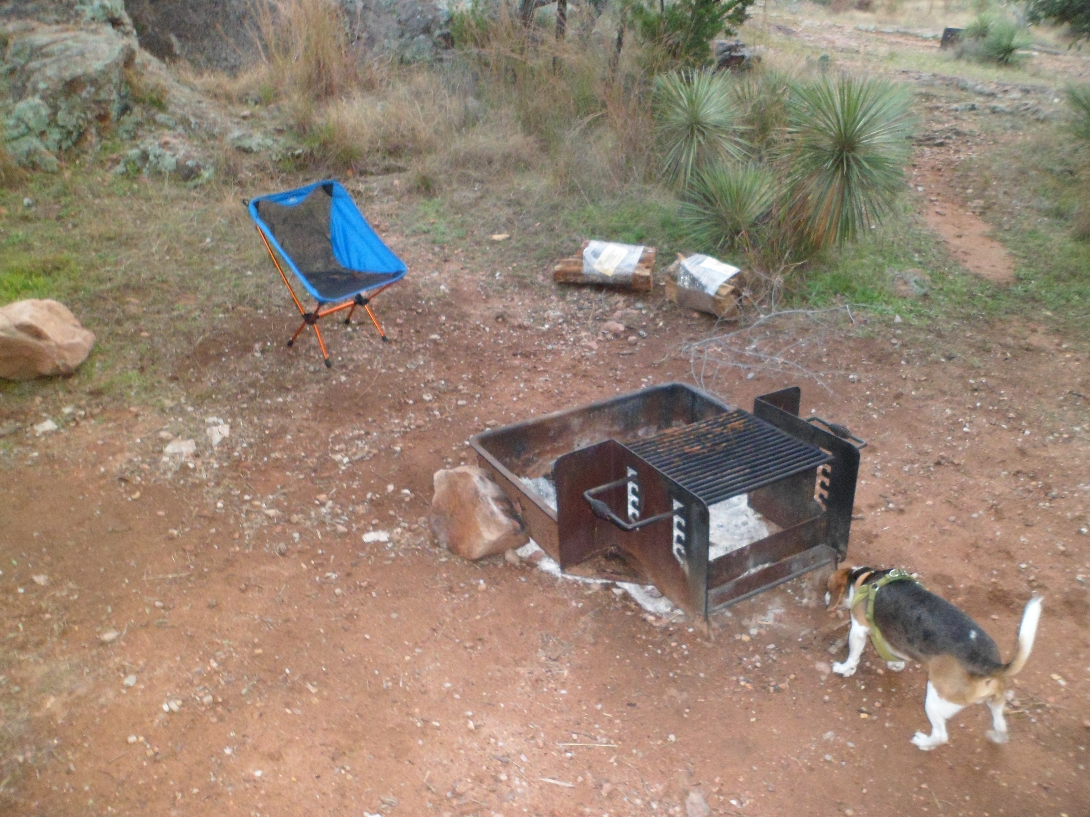
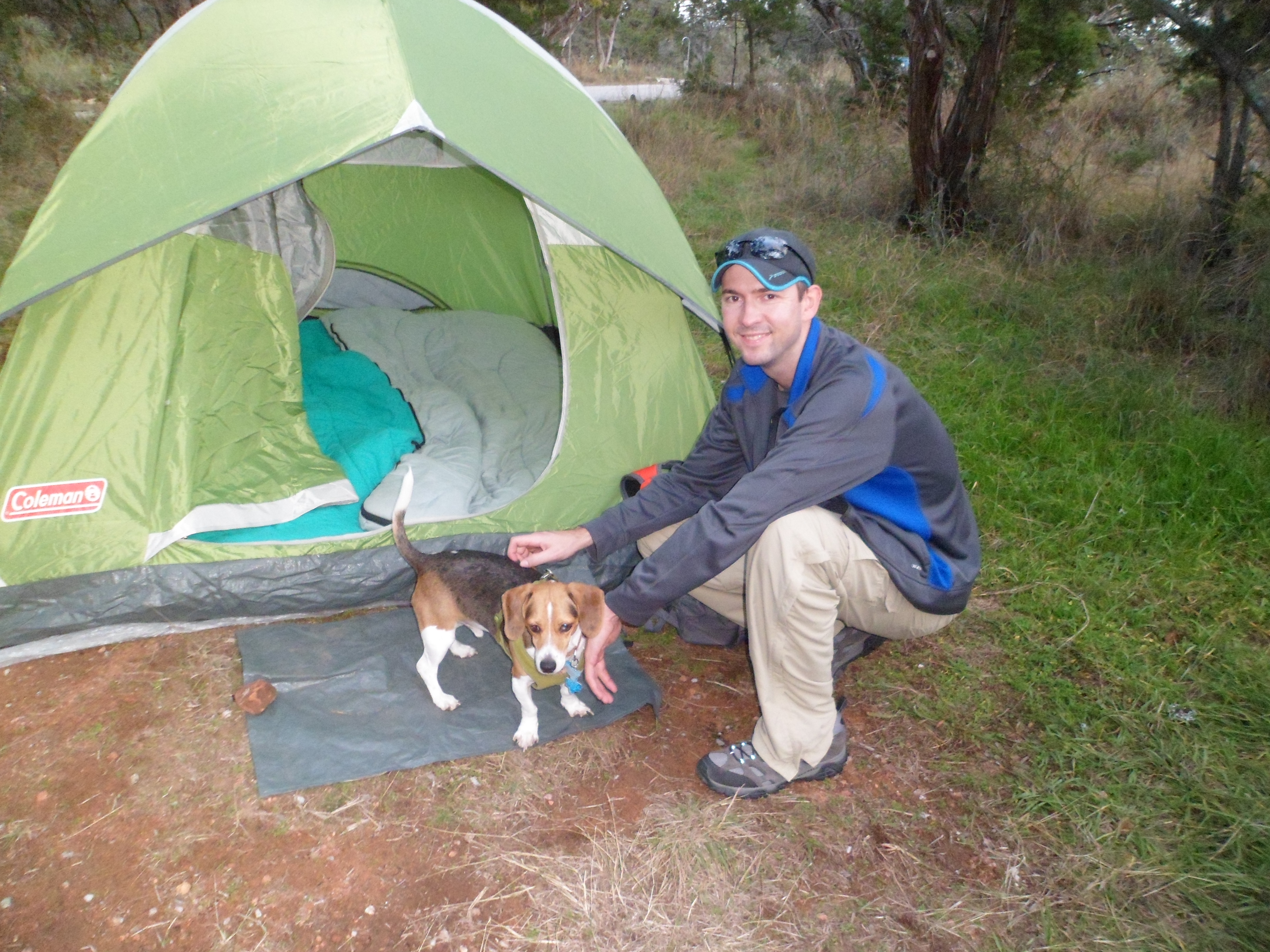
This was our second trip out to Inks Lake and we got our hike in this time. We were able to choose the exact same campsite as last time and we had the whole area to ourselves. It was supposed to rain this weekend, but the weather ended up being fantastic. We arrived late Friday afternoon and set up camp and the skies were clear all night, giving us a great sunset and some great stars. A lot of pics on this trip.

The sunset pictures were just behind our site over the granite (gneiss) outlook.


After we got camp set up, I started the fire and Courtney put together some foil campfire dinners similar to what my mom used to make when we would go camping growing up. Chicken, bell peppers, onions, potatoes, zucchini, garlic, and saffron seasoning. It turned out amazing.


We got to bed around 10 and got up at sunrise to hit the trail with the temperatures in the mid 50s. However, it would warm up quite a bit as the day went on. We were both very happy with this trail, as it had a lot of different terrain and certainly gained some elevation at points. This may have been our hardest trail overall to this point, despite the relatively short length.


We made a loop of several trails in the park. It started out pretty flat through the primitive camping area (which I was unimpressed with) and then got a lot tougher when we got back toward the lake. Around this point, Biff started limping and favoring his left front paw. He hadn’t been on a hike of this length in a long time and we were worried that we pushed him too hard. We carried him for a about a mile and that mile ended up being the hardest part of the hike. To be fair, we probably would have carried him on most of this portion of the trail anyway, due to his back issues, but it was hard on both of us. Finally, we set him down for a rest and he “miraculously” was ok again. I think he just wanted to get a free ride for a while. 🙂


We were all very tired, but very happy at the end of the hike. It’s always nice to realize that such beautiful scenery is available in Texas just a couple of hours away. We will certainly return to Inks Lake in the future.


Barton Creek Upper 11/30/14
November 30th, 2014
Hike: Barton Creek Upper, Austin, TX
Weather: mid 70s, mostly cloudy, pleasant
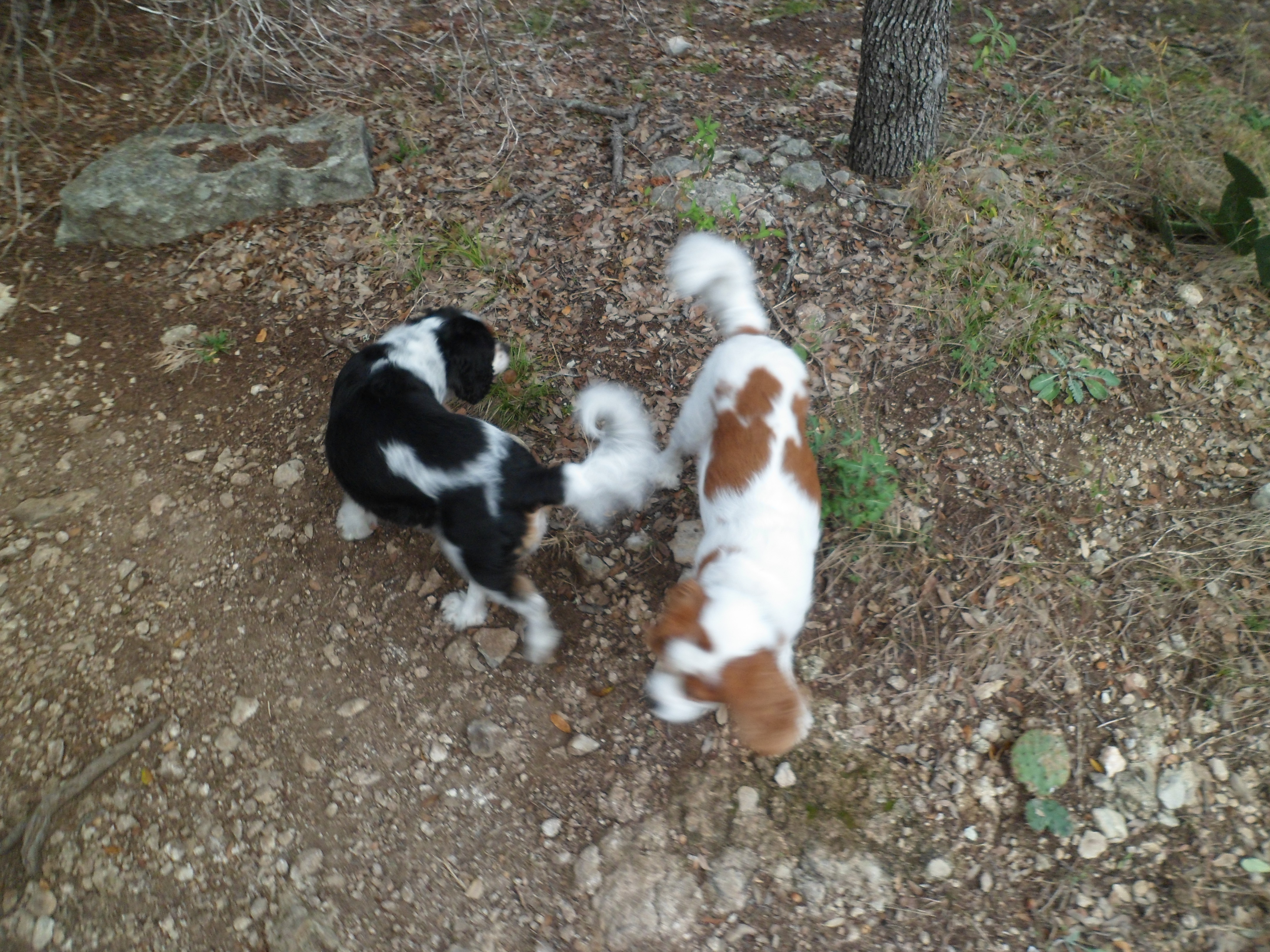
Hikers: Ian, Court, Josh, Pete, Zoe
Length: 6.49 miles

Court and I met up with our buddy Josh at his house for the hike today. He can access Barton Creek from his backyard, which is awesome. He also lives a little further north of the trail head that we have used on this hike before, so we got to see some of the trail that we have never seen. His two dogs, Pete and Zoe, joined us also. The weather was great and we started off around 8:30am.

There were some great views of the surrounding hills at the beginning as we descended to the creek. The cloud cover made for very nice hiking today and we didn’t work up a real sweat until the end.


The water was flowing well in the creek and the waterfalls were beautiful. I took a video of the first falls we came to, which I had not seen before. I must have put my finger over the mic for the second half of the video because the sound goes out, but you get the idea.
We didn’t have a real plan as to how far we were going to go, but didn’t want to push it too hard because we haven’t hiked in a while and Josh is mending a hurt knee. We turned around about three miles in and I think that ended up being perfect.


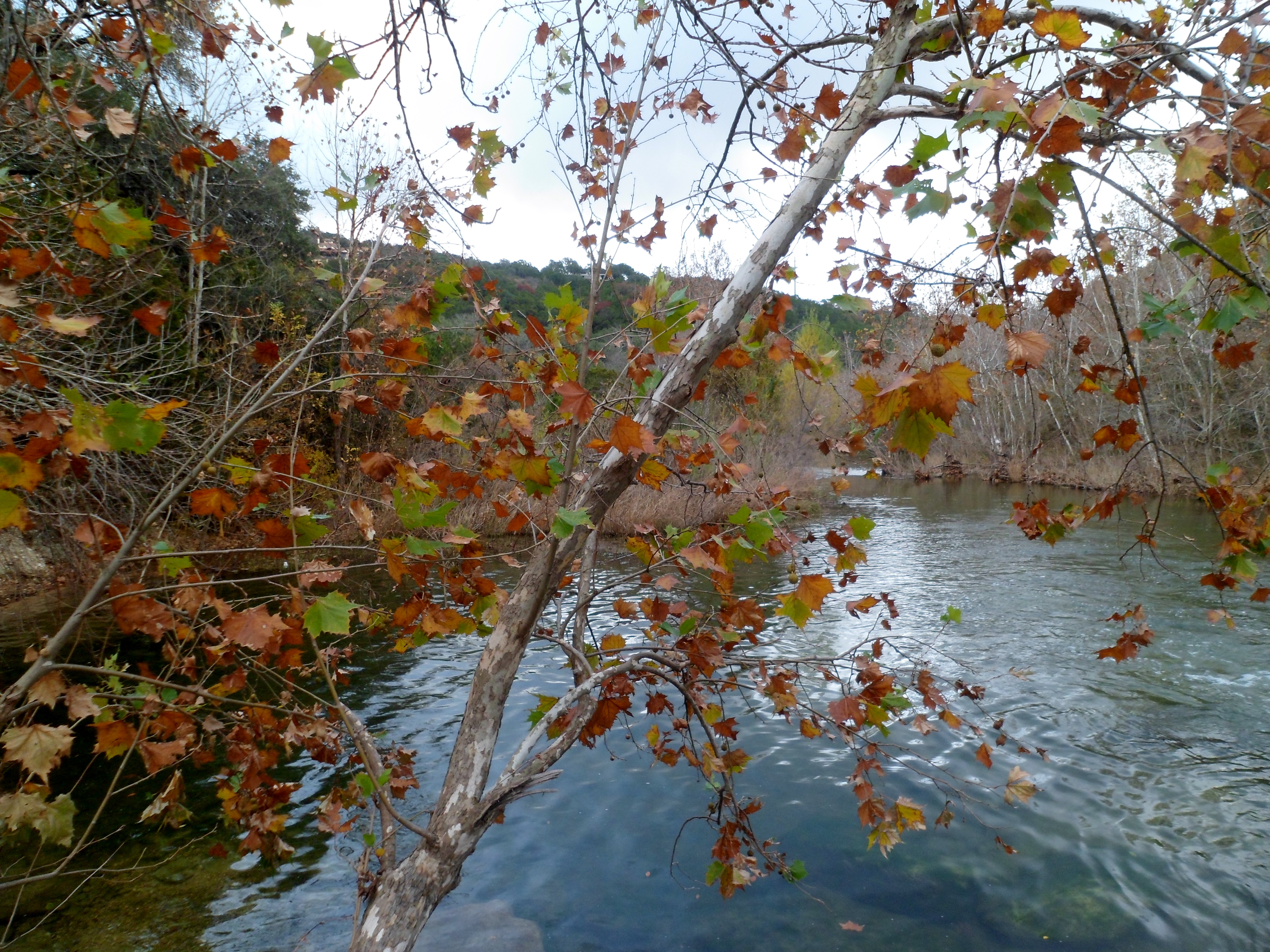
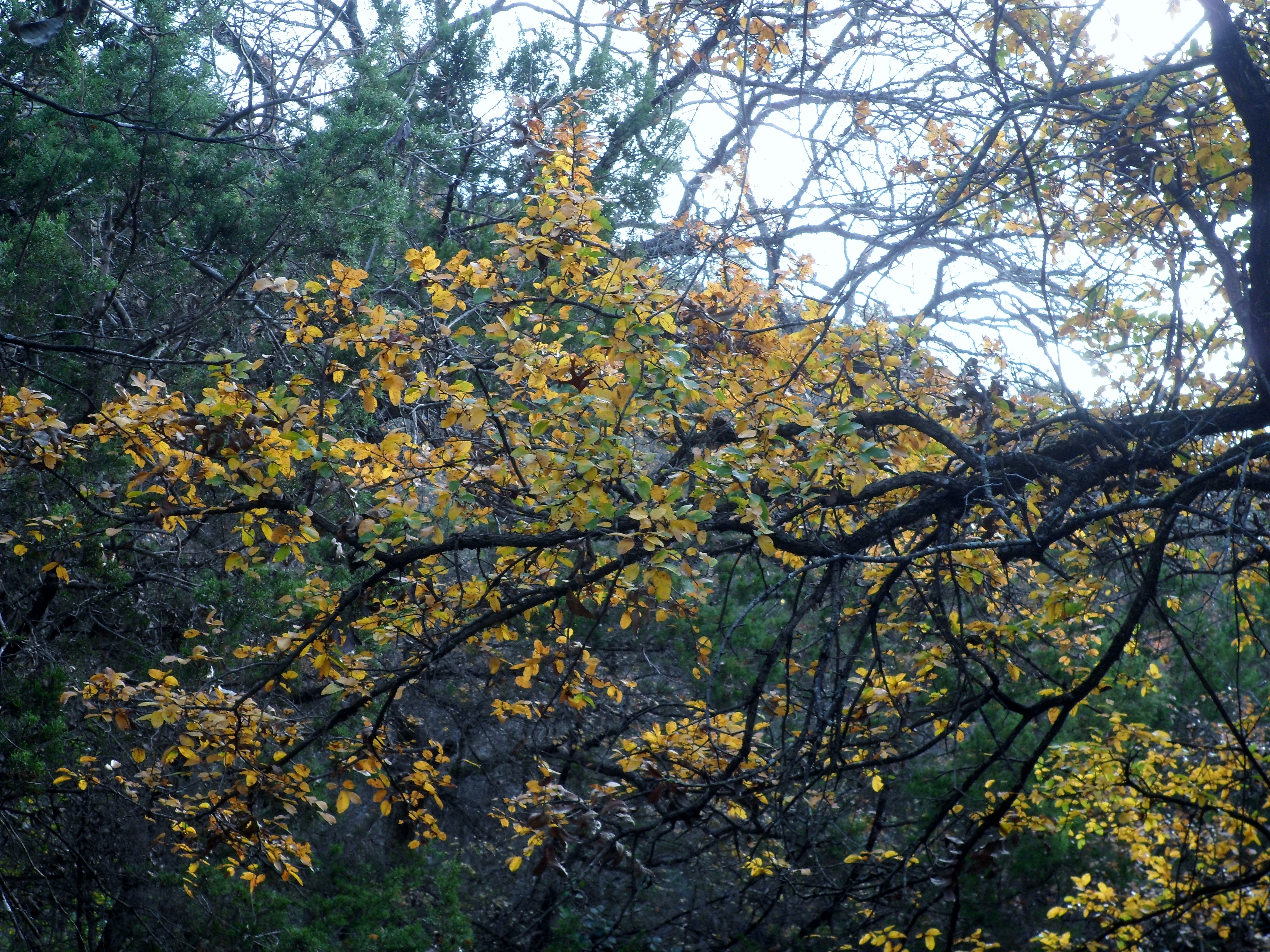
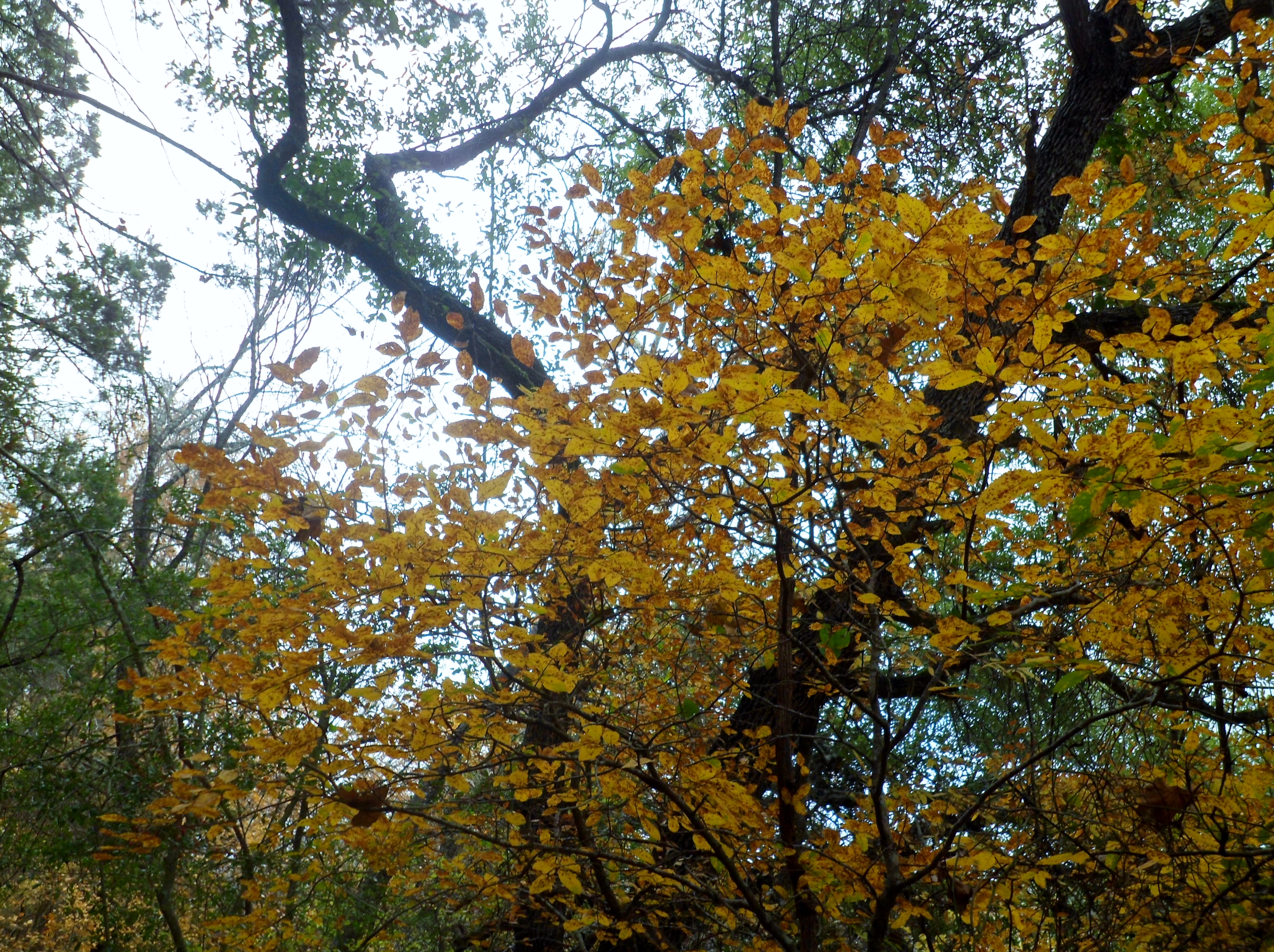
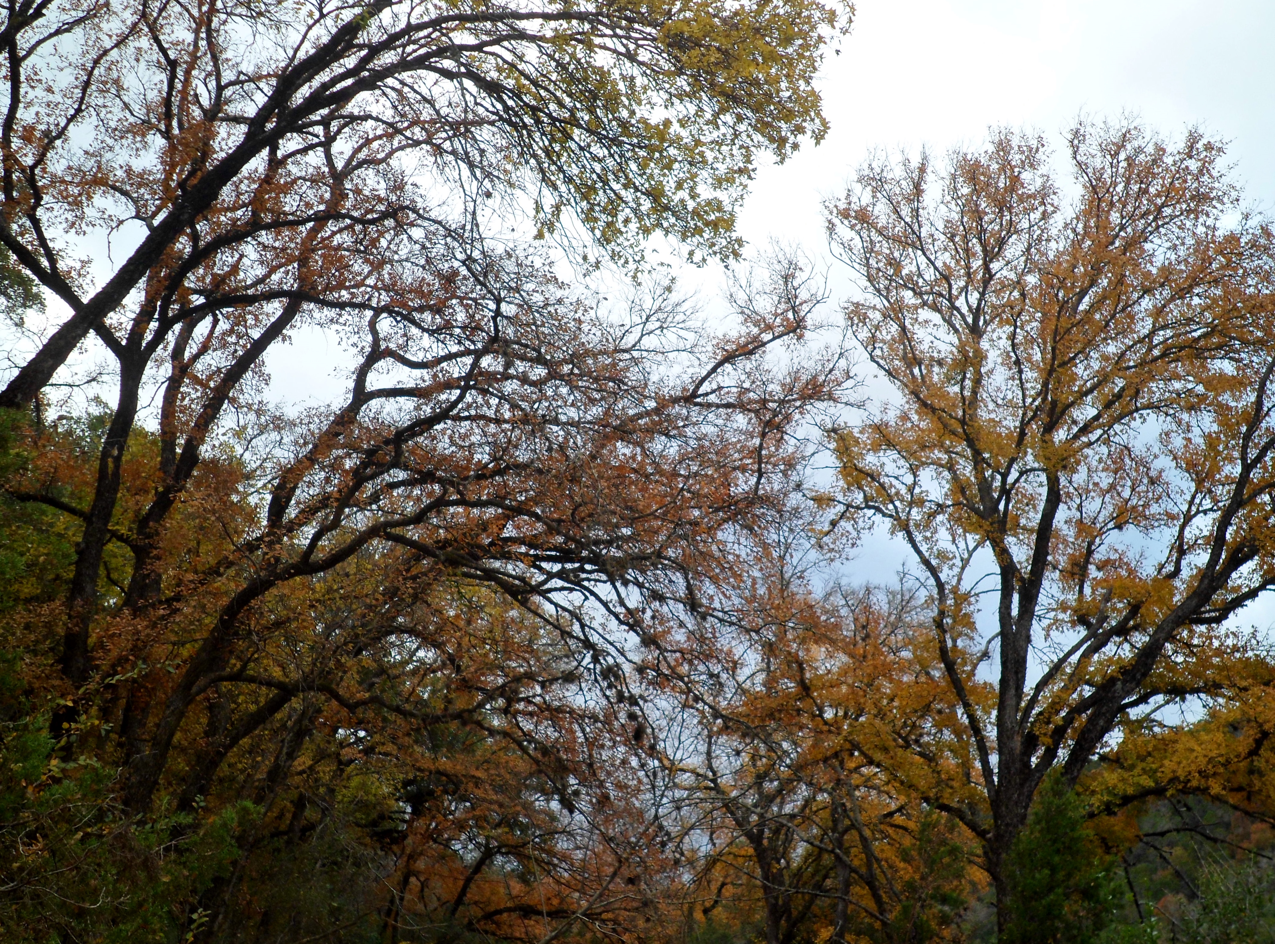
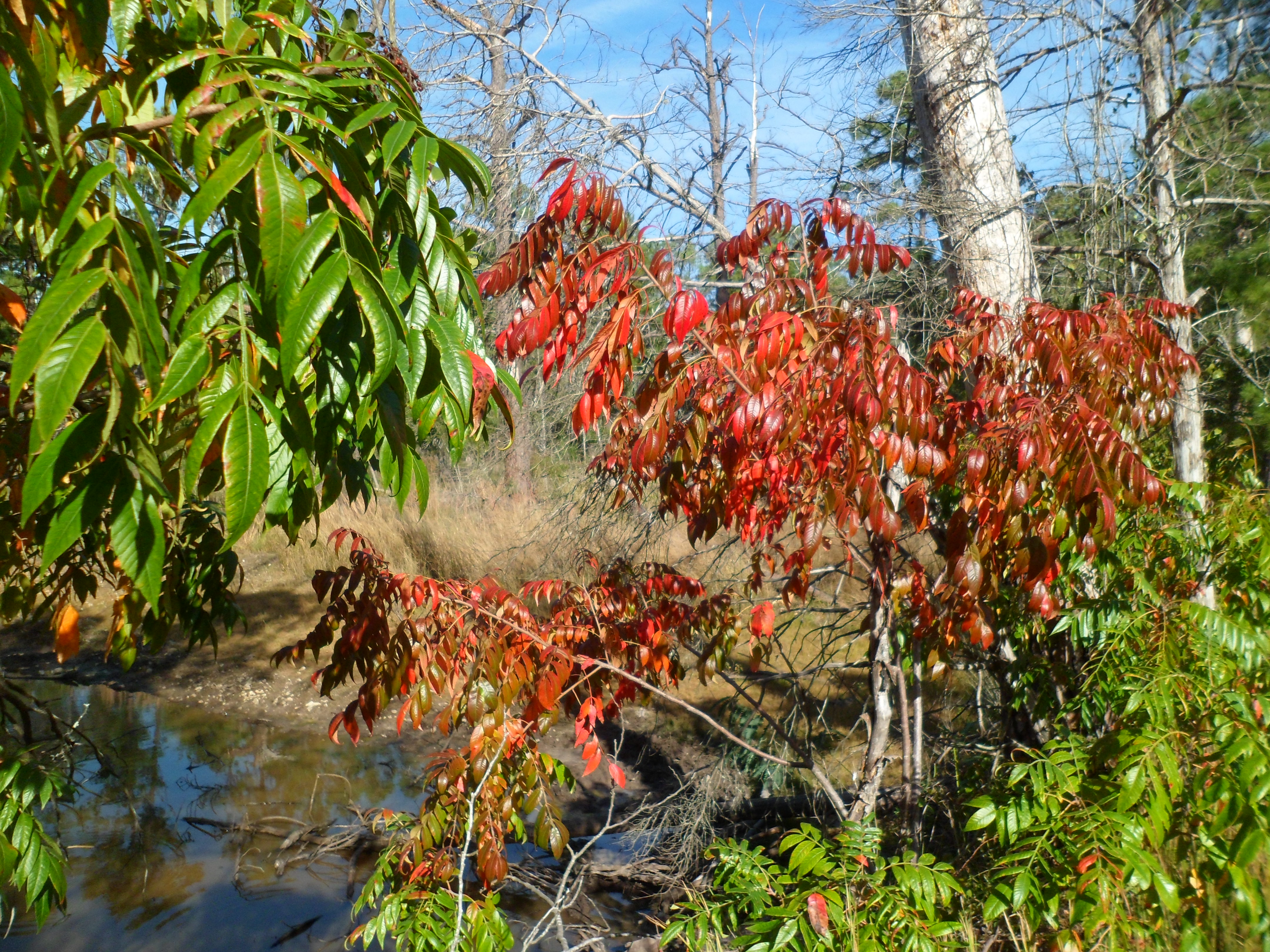
The fall colors in Austin are really starting to show as well.
Sculpture Falls was beautiful as usual. The other pics below are from the part of the trail that neither Court nor I had been on.


The Barton Creek Greenbelt is always a good hike and I’m glad we got to go with Josh and see some new parts of the trail. I look forward to doing more hiking with Josh in the future as he really enjoys it as well.


Buescher State Park – Pine Gulch Loop 11/2/14
November 2, 2014
Hike: Buescher State Park – Pine Gulch Loop
Weather: cool, upper 60s – low 70s, sunny
Hikers: Ian
Length: 7.33 miles
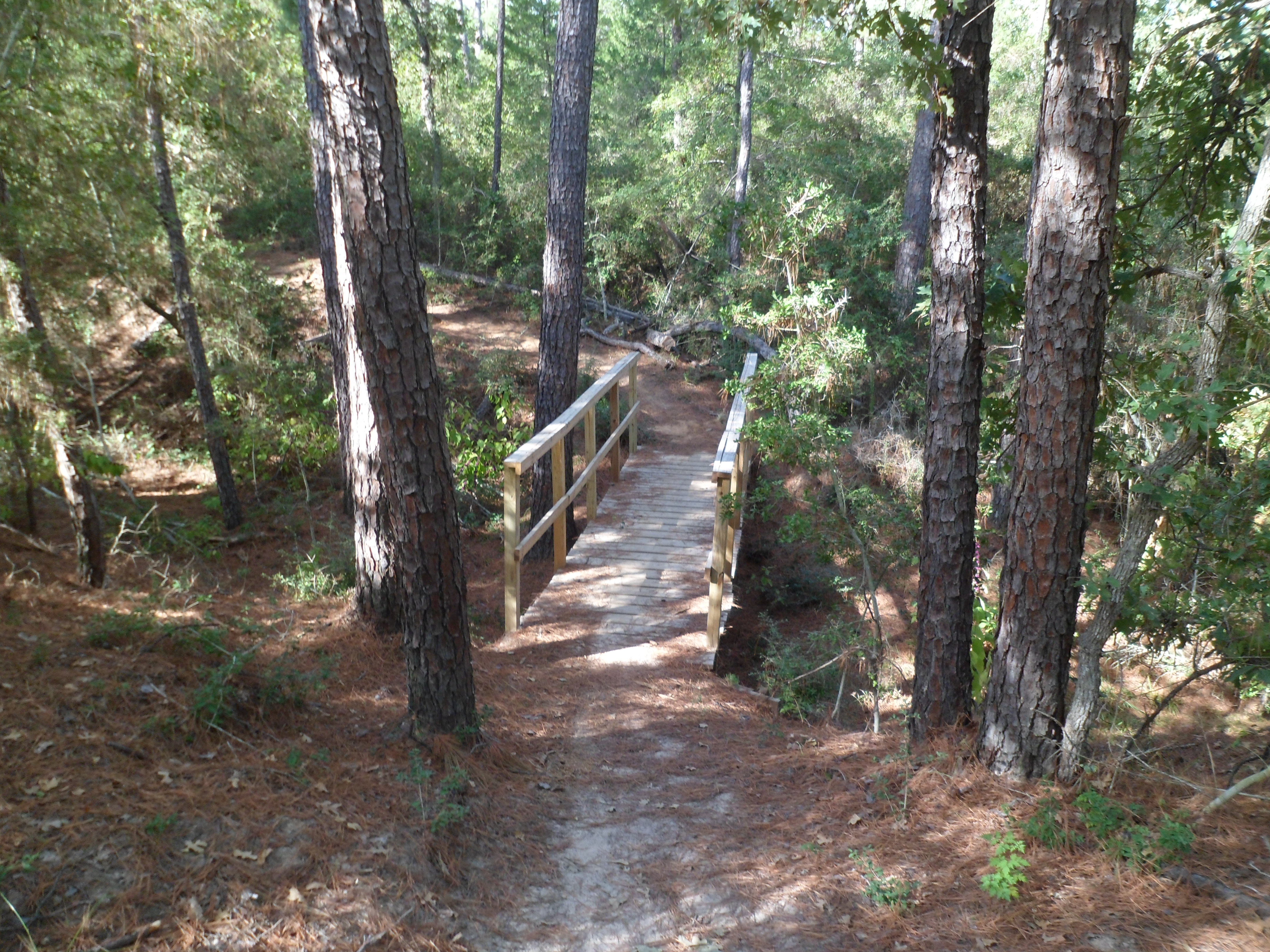
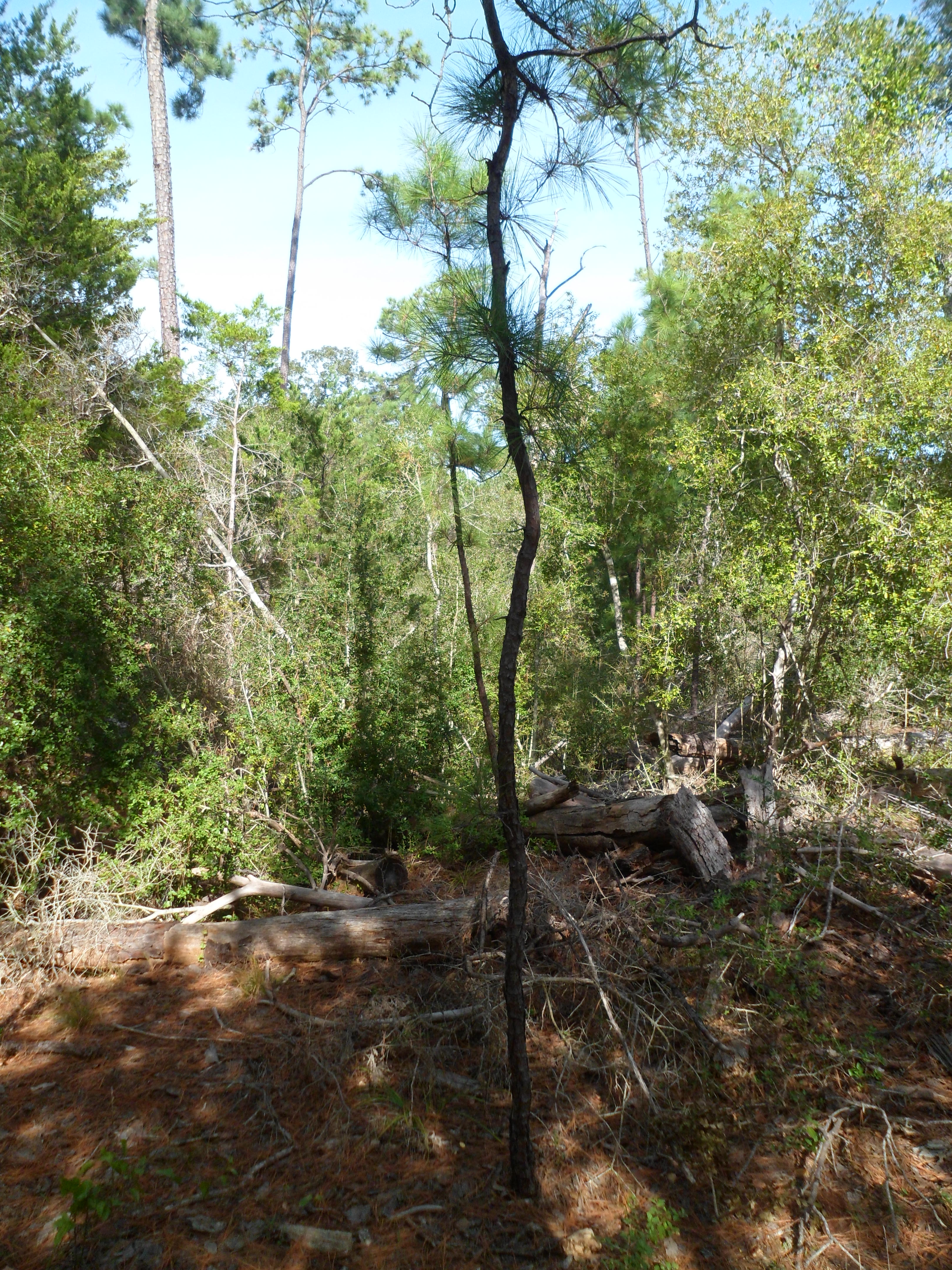
Buescher State Park is only about 30 minutes away from Austin and I had pretty much forgotten about it, despite the fact that I have passed the entrance tons of times on the way out to my parent’s cabin near Winchester. With Court out of town in Dallas for her final review before her licensing exam, I decided to get out in the woods for the morning. Daylight savings hit the night before so with an extra hour, I actually woke up at 6:30 in the morning and got a decently early start. I got to the trail head by about 8:30. It was still in the upper 50s and I had to wear my jacket for the first couple of miles. Hiking solo is a really different experience from hiking with others and it’s easy to let your mind wander and not pay attention to the world around you, which somewhat defeats the purpose of why you are out there. So on this hike I tried to stay in the present as much as possible. With that in mind, the rest of this blog I will write in the present tense.

As I start out on the trail, the morning chill bites into me a little bit, but is slowly melting away as the sun rises behind me. There is only one other car at the trail head, so it appears I will have the trail to myself for a while. About a half mile in I see my first wildlife: two white tailed deer, a male and a female. I am very used to deer, as they are all over my parent’s neighborhood in northwest Austin, but for some reason seeing them in the wild is a different experience and is still exciting. They are being very noisy in the forest, but once they notice me they freeze, make eye contact with me, and then turn and bolt the other direction. I try to get a quick picture, but I am not fast enough. Moving on at a solo pace of almost three mph (with companions we usually average two mph), I notice the path varies from sandy to rocky to soft pine needles.


At the first road crossing, I see a sign for the MD Anderson Cancer Science Park. It is a small building in the middle of the woods that you need special clearance to access. Science Park and Research? More like nuclear missile silo if you ask me.

The trail is pretty flat for the first half of the loop, but I know it will gain some elevation on the other side. A little further on I pass a small stagnant pond and am glad that I don’t have to filter water out of it. I see my third deer of the trip, but it escapes my camera once again.


Starting to gain elevation now. I stop for a quick snack break and take off my jacket. The trail is starting to wind a bit more and gain some elevation. As I round one bend I hear a sound in the silent forest that at first sounds like boulders rolling down a hill. Before I can react a great cracking explosion fills the forest and I see the last branches of a 50 foot tall pine descending into the undergrowth about 40 yards off the trail. My heart rate skyrockets and I get into a defensive posture. All of this happens in roughly 5 seconds, so I’m just glad the tree didn’t fall across the trail, as that would have been the end of me. This is definitely a first for my hiking career. After the adrenaline slows a bit I continue on and see my first hikers of the day. Three people heading the opposite direction on the loop. I say a quick “good morning” to them just before I see a small pine that reminds me of a Dr. Seuss plant, the way it grew up windy and curvy.
With about 2 miles left, I come across an unexpected viewpoint that looks out in the direction of Bastrop and has a nice view of the plains below. I haven’t taken a video in a long time, so what better spot?
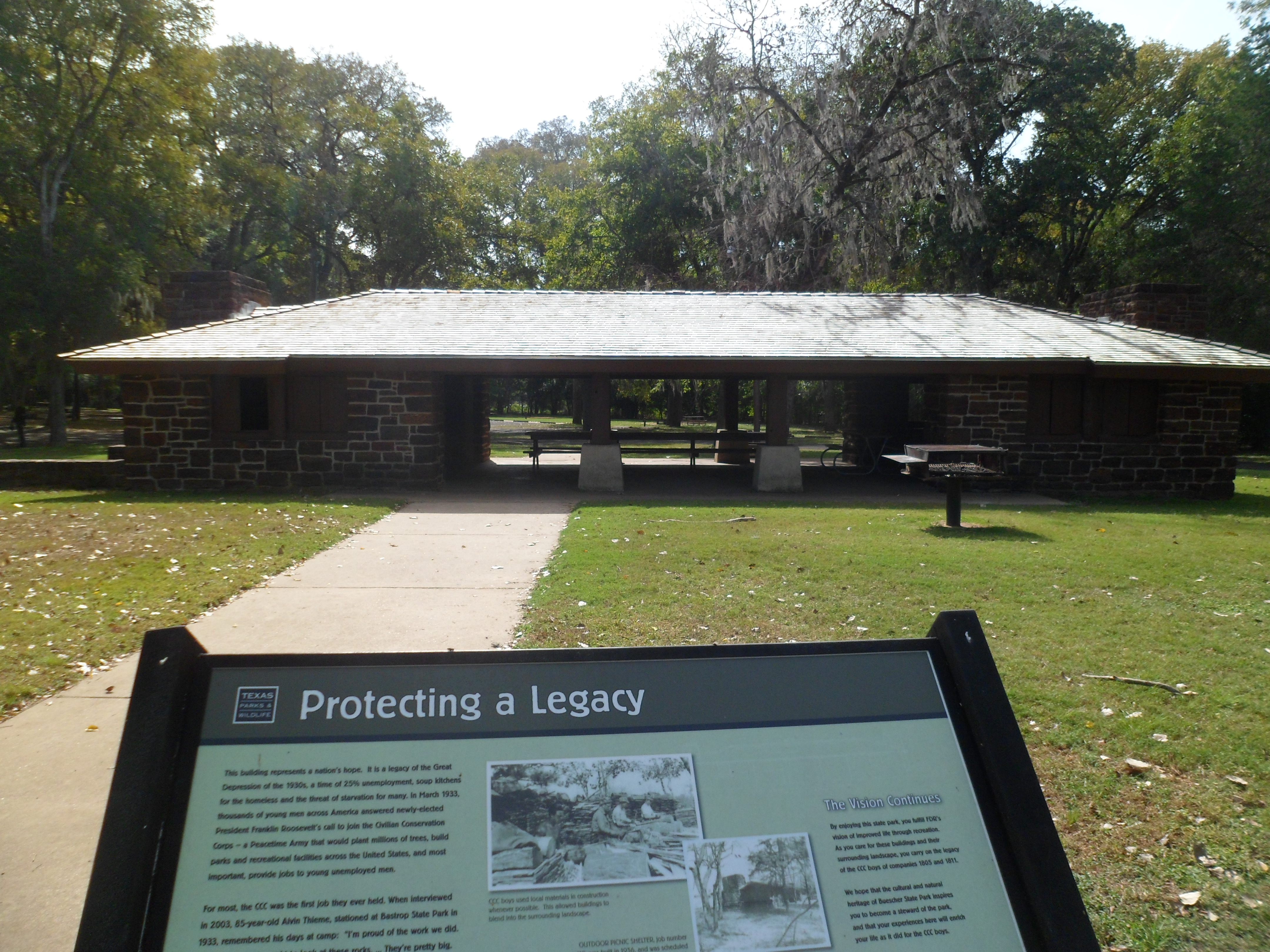
I finish up the hike and it doesn’t feel like I just did almost 7.5 miles. I get back to my car and go a little further down the park road to an old CCC-built picnic shelter and also a short path to a big Cedar Elm called “Big Tree Trace”. It is big, but I feel like there are other trees around that are bigger.


Back to past tense. This was a really nice hike that I would like to repeat with Court and maybe do an overnight. Hopefully no trees will almost crush me next time.
Some info on the park below from Wiki:
Buescher State Park is a state park located just north of Smithville, Texas. The park consists of 1,016.7 acres (411 ha) of public land donated to the state by Mr. Emil and Mrs. Elizabeth Buescher, as well as the City of Smithville. Between the years 1933 and 1936, Mr. Emil and Mrs. Elizabeth Buescher deeded 318 acres (129 ha) of land to the State of Texas. After Emil Buescher’s death, his heirs donated 318 acres (1.29 km2) more. The rest of the parkland was acquired from the city of Smithville. Companies 1805 and 1811 of the Civilian Conservation Corps built many of the park facilities between 1933 and 1939 using native stone to better blend with the surrounding landscape.
When it opened in 1940, the park was 1,738 acres (703 ha). In 1967, the Texas Legislature transferred 700 acres (280 ha) to The University of Texas M. D. Anderson Cancer Center for use as a science park research facility.
The park features a 7.7-mile (12.4 km) round trip hiking trail through the park’s undeveloped area. There is also a small lake open for canoeing and fishing. The lake is stocked with crappie, catfish and bass year around and with rainbow trout in winter. Camping and picnicking areas are available. Buescher is less than four miles (6 km) to the east of Bastrop State Park and the two are connected by Park Road 1. Over 250 species of birds have been spotted in the park throughout the year. Mammals include White-tailed deer, raccoons, opossums, bobcats, and armadillos.


Balcones Canyonlands NWR – Doeskin Ranch 10/19/14
October 19th, 2014
Hike: Balcones Canyonlands National Wildlife Refuge – Doeskin Ranch, Northwest of Austin, TX
Weather: partly cloudy, upper 70s, breezy
Hikers: Ian, Court, Sara, and Ryan
Length: 3.66 miles
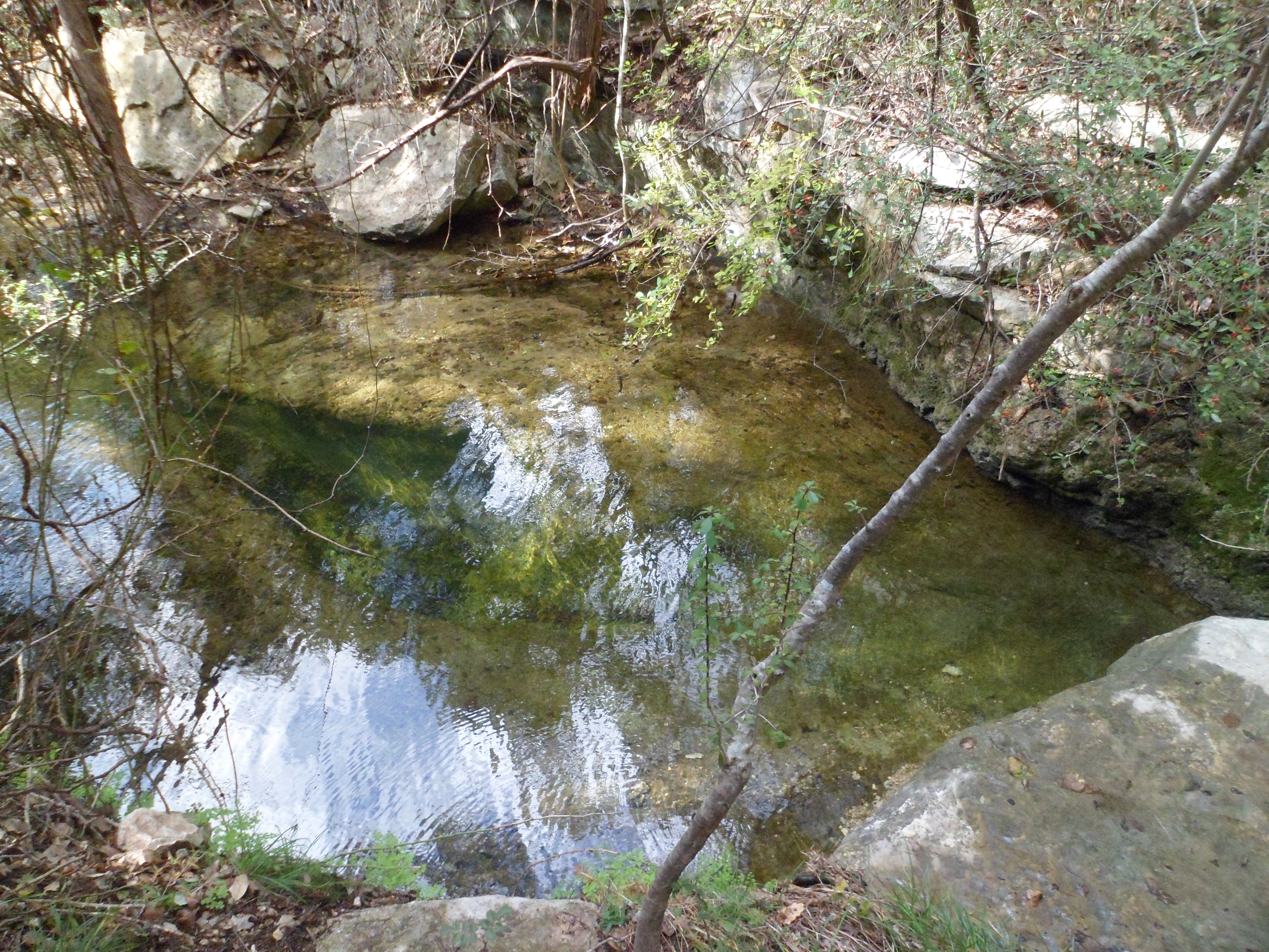
This was our first hike with Ryan and Sara. We couldn’t have picked a better day weather-wise. We hit the trail around 10:30am after an hour drive from Austin. The sun came out about halfway through the hike and the breeze was nice. This hike actually had some of the most elevation of any of our previous hikes in Texas. Real switchbacks on the this one, but a short hike overall. There is also a spring fed creek towards the beginning of the trail that is always running, regardless of rainfall.


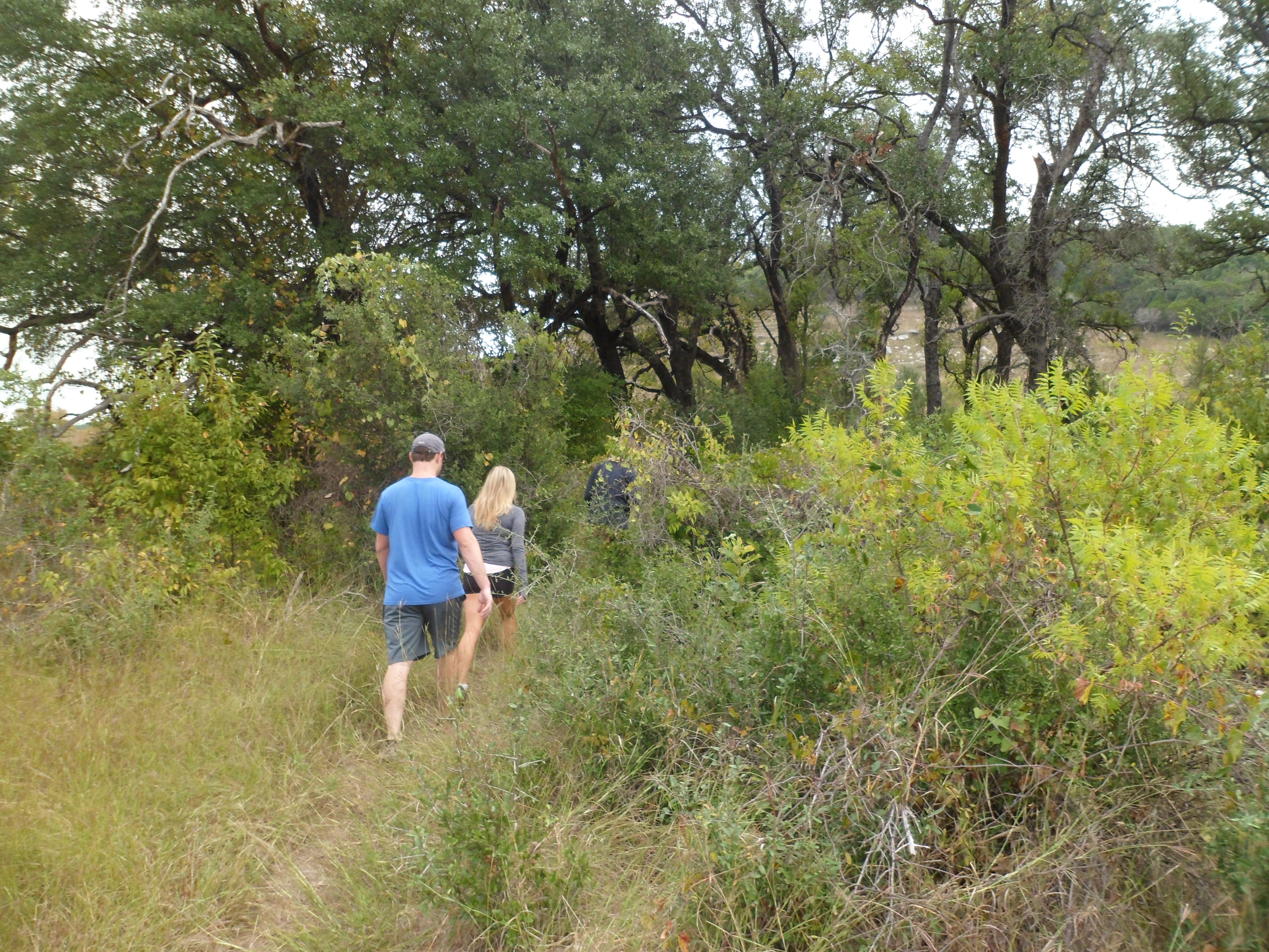

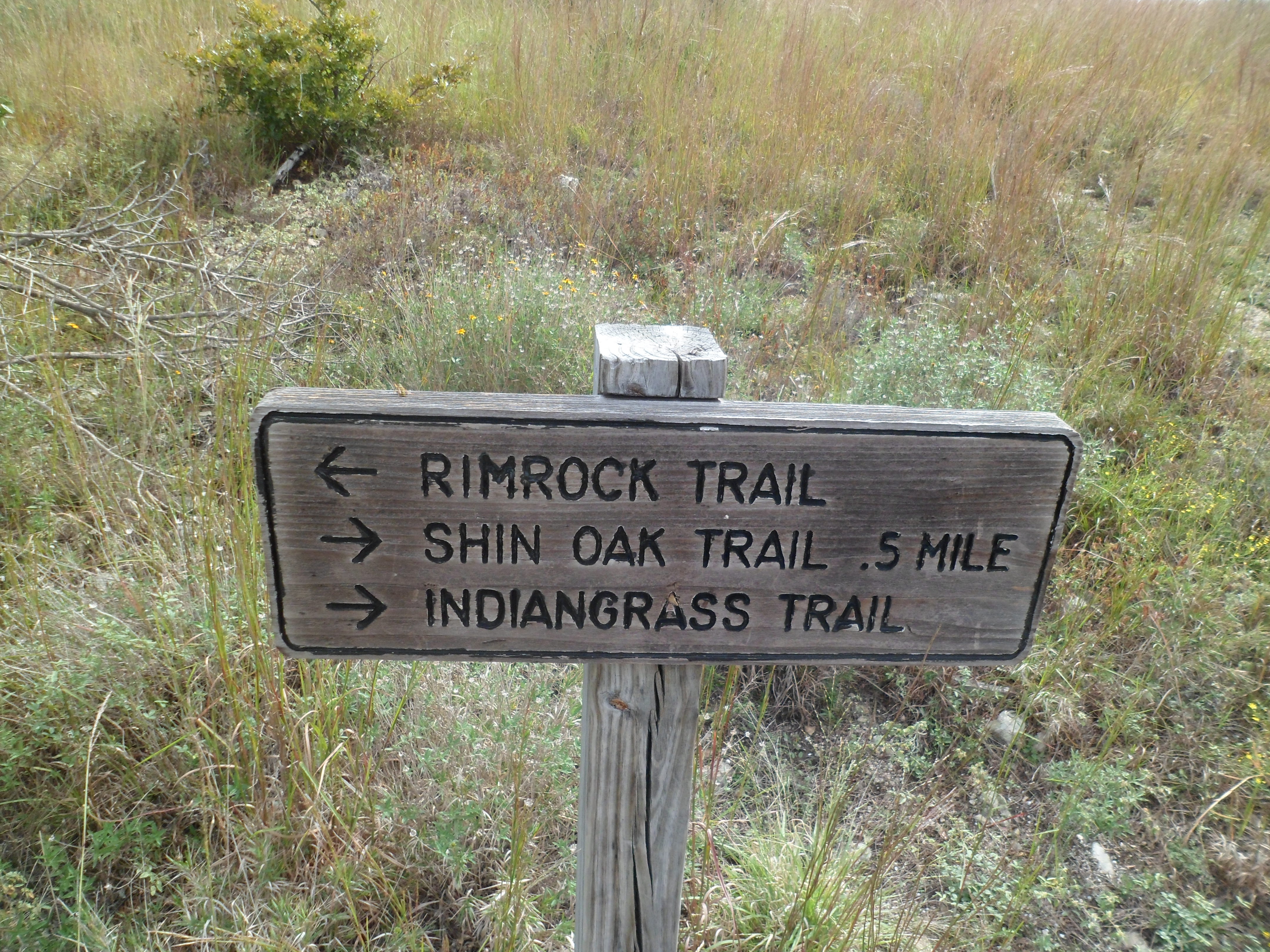

This hike also had a lot of varied terrain. From prairies, to woods, to more desert-like vegetation, it was constantly changing. We connected several loops to make one big loop of a little over 3.5 miles. We saw a couple of other hikers and it was nice to not have to share the trail with any bikers.


Not much wildlife, save a lizard, a turtle, and one rabbit. Plenty of birds as well, but no Monarch butterflies, which supposedly peak in their migration through this area at this time. This hike was very beautiful and actually exceeded my expectations. It was great to have some elevation change and views compared to a lot of the flat Dallas hikes we had gotten used to. It was a lot of fun to do with Ryan and Sara and hopefully they will join us for some more hikes in the future.


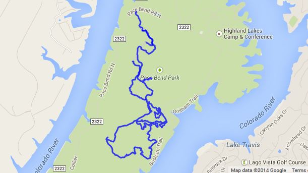
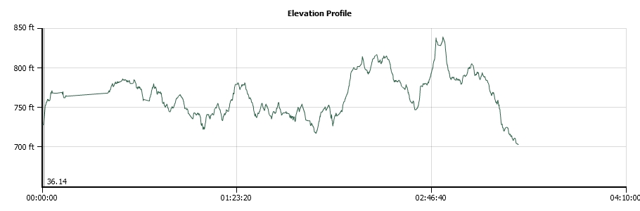
Pace Bend Park 9/28/14
September 28th, 2014
Hike: Pace Bend Park, Spicewood, TX
Weather: sunny, warm, mid 80s, balmy
Hikers: Ian and Court
Length: about 8 miles
We woke up early and made the 45 minute drive out to Pace Bend Park off of Highway 71 west of Austin. There are a lot of trails in the park and a lot aren’t marked real well, so there was some interesting navigating going on at times. Court does not like the idea of being lost I found out today. But on the plus side I got to use my recently acquired compass a few times.


We got some decent elevation at times that showed some good views of Lake Travis (what’s left of it) and the Hill Country.


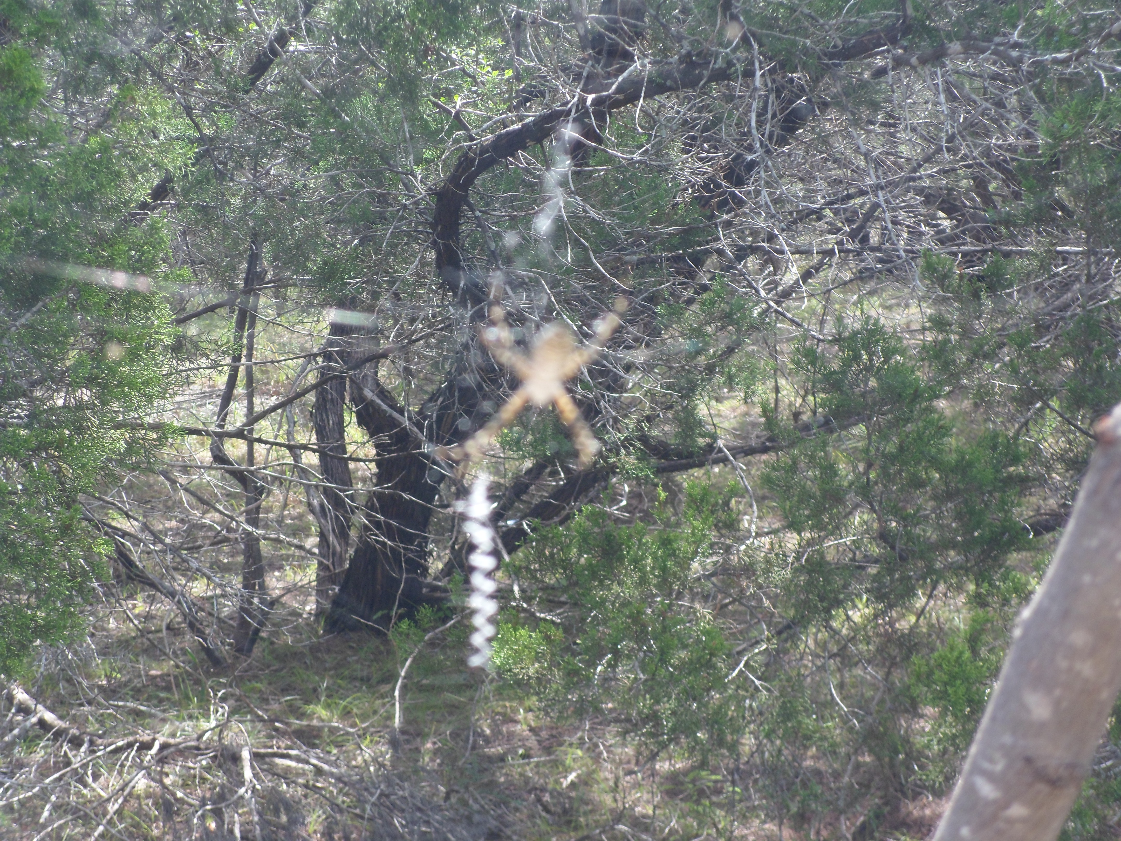
Didn’t see any other hikers, just a few bikers. Surprisingly, not much wildlife, aside from a huge jackrabbit that ran across the road on the way in and a massive spider in its web on the side of the trail. I’ve gotten better about my spider fear, but I still didn’t want to get too close. We also saw a dung beetle rolling it’s ball of dung down the path which was a first for both of us. Pretty interesting because they do it backwards.


The trail was pretty rocky so it was a bit tough on the feet, but considering it was our first hike in over a month, we both did pretty well. Court had to get past the mental block of being lost, but she powered through in the end.
From the website:
Pace Bend Park is located in far western Travis County in the Hill Country of central Texas. With more than nine miles of shoreline along scenic Lake Travis, Pace Bend is one of the most popular areas in the Highland Lakes region, offering visitors a wide range of recreational opportunities. The west side of the park features high, limestone cliffs and numerous rocky coves with some of the most impressive views available of Lake Travis, especially at sunset.
Most of Pace Bend Park is easily accessible by vehicle from the six-mile, paved roadway that loops the park. However, the interior of the park is managed as a wildlife preserve and can be reached by foot, bicycle, or horseback only. Numerous trails lead into the hills and provide excellent views of the lake and the Hill Country. This area serves as home to a large number of whitetail deer, raccoon, fox, ringtail cat, and dozens of bird species.
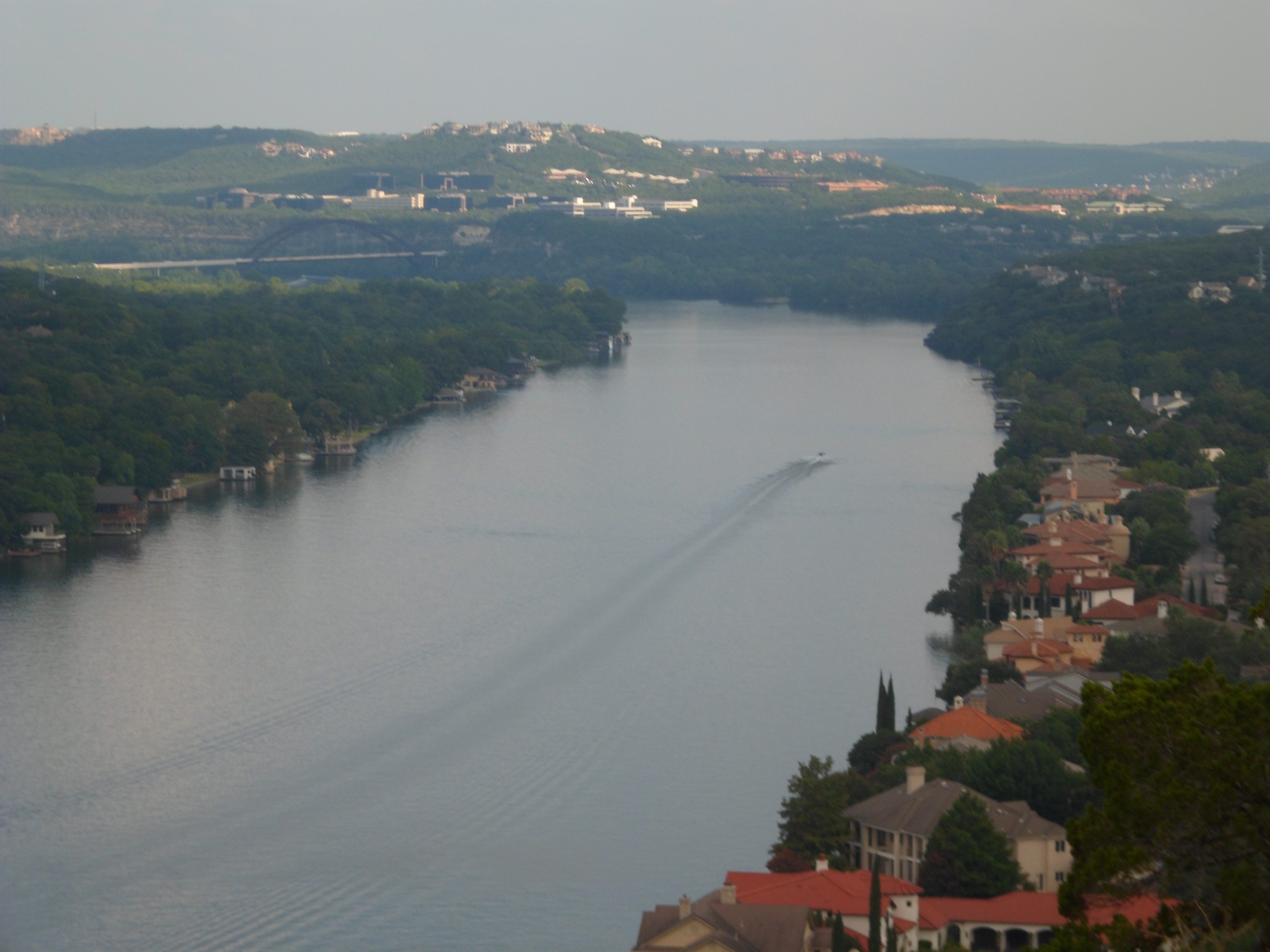
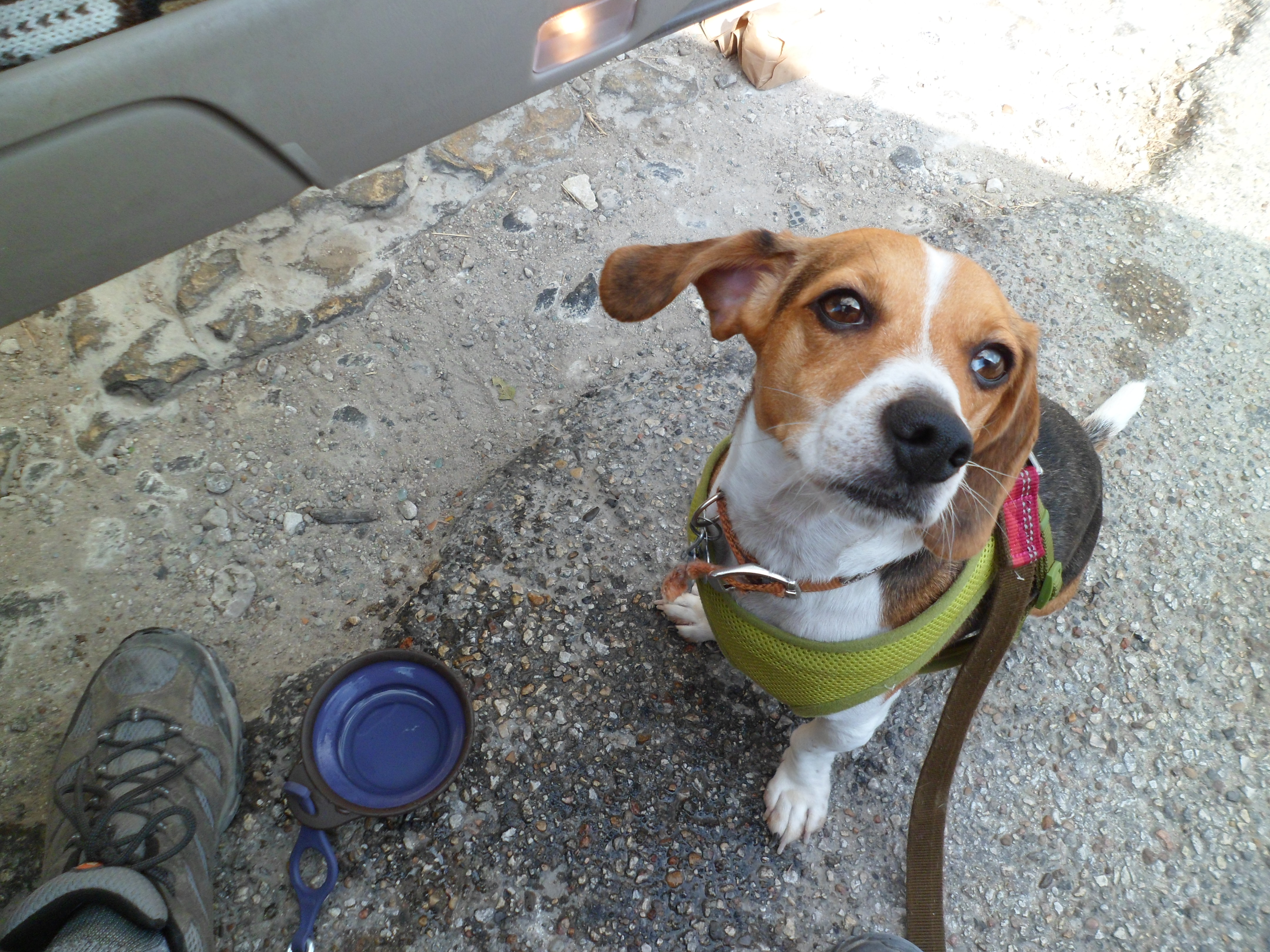
Mt. Bonnell 8/27/14
This wasn’t really a hike, but I’m adding it here anyway. I took Biff to the top of Mt. Bonnell this morning for some views of Austin in the morning light. It was pretty peaceful even though the temperature was creeping up steadily. It was a bit hazy, but still great views. Some of the pics are a little blurry as I was having to hold onto Biff and handle the camera at the same time.

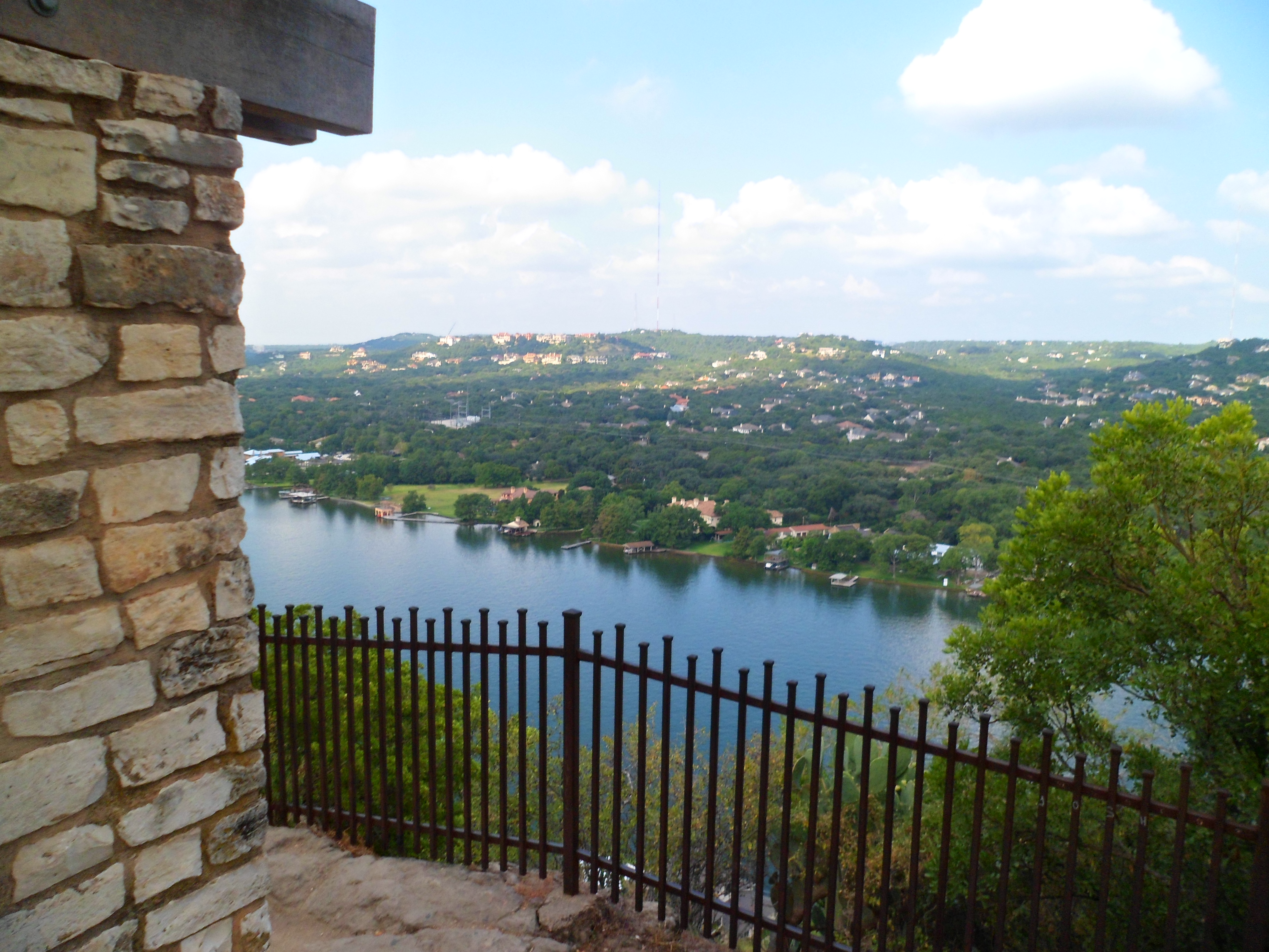

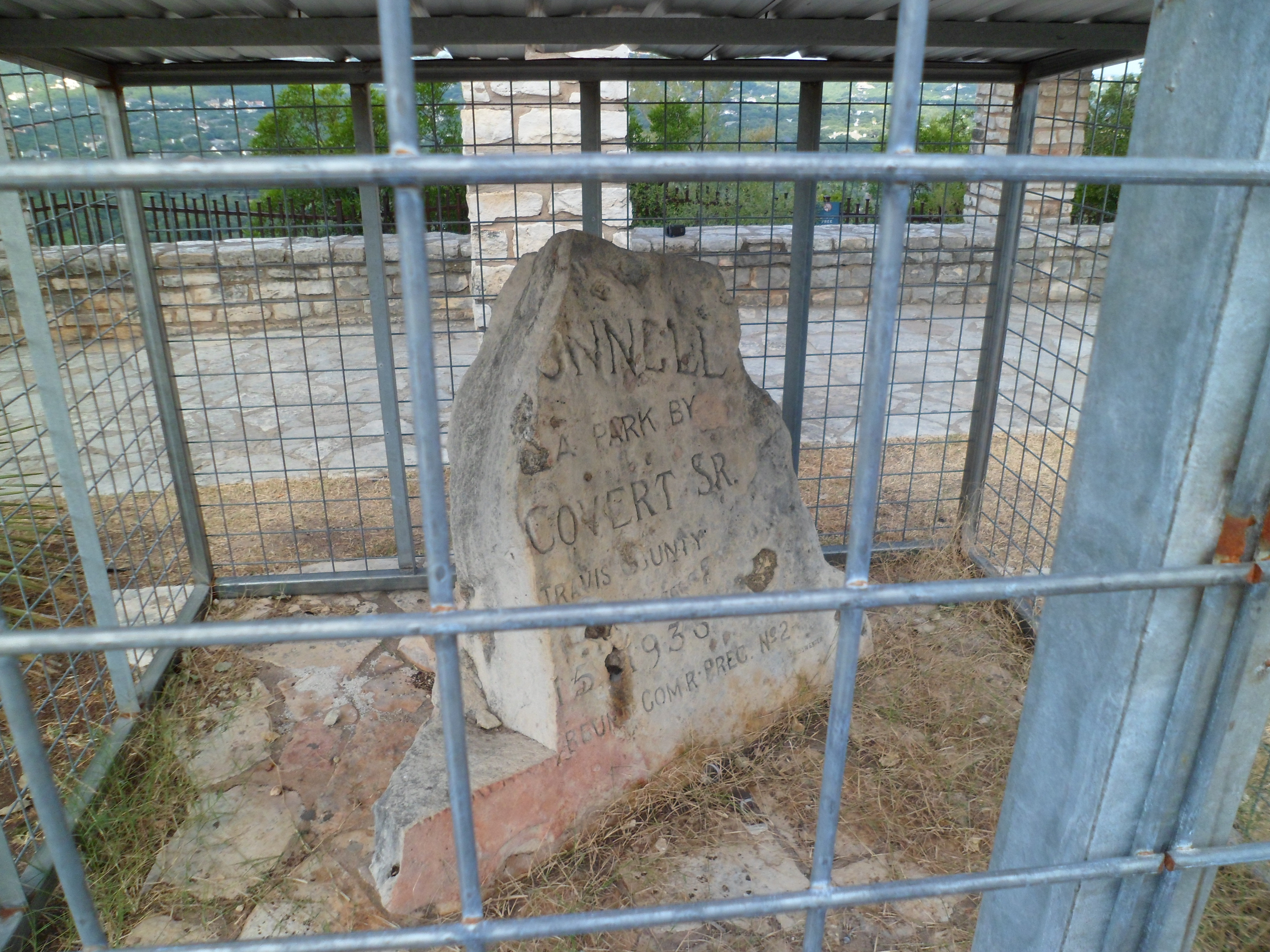
I had to carry Biff up the initial stairs because of his back, but he did great on the short trail, which is only a couple of hundred yards. It was a nice morning walk and will probably be even better on a cool fall morning.

Greenbelt – Zilker to almost 360 8/24/14
Hike: Greenbelt – Zilker to almost 360, Austin, TX
Weather: sunny, clear, hot, low-mid 90s
Hikers: Ian, Court
Length: 7.51 miles
Court and I repeated most of the track that I did a couple of weeks ago and hit Barton Springs again afterward. It was a lot hotter today than when I did this hike solo and there were a ton of bikers.
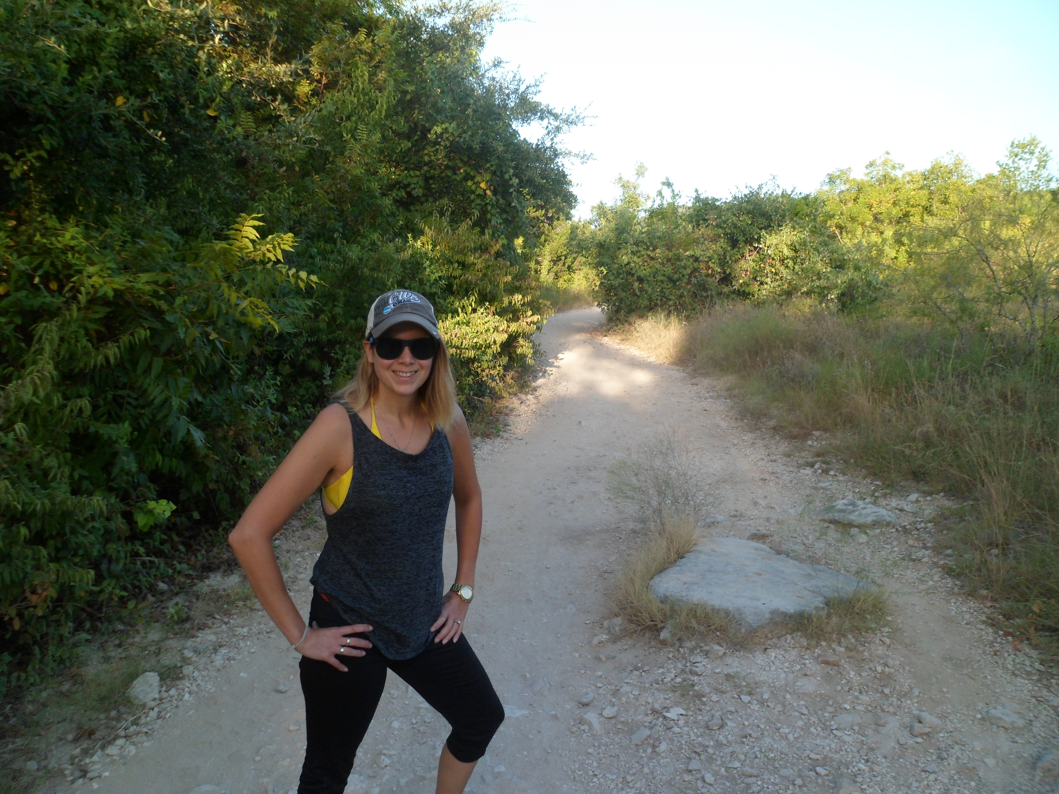
We got out on trail again around 8am and Court started us off at a brisk pace. The temperature rose pretty quickly and the humidity made it a bit rough at times. But that just made the springs at the end that much better. It took a few minutes for Court to work up the courage to jump in the water, but she finally got in. Barton Springs is an amazing way to end a hike. I think I’m going to take a break from the Greenbelt for a few weeks and check out some other area hikes. I’m going to try and do the full length of the Greenbelt at some point this fall, once the temperature goes down a bit.


We hit Doc’s afterward for lunch and it was a pretty amazing day. Yay Austin.


Greenbelt – Zilker to Mopac 8/9/14
August 9th, 2014
Hike: Greenbelt – Zilker to Mopac, Austin, TX
Weather: mid-80s, warm, sunny
Hikers: Ian
Length: 8.61 miles
For my first hike back in Austin, I thought what better than the Greenbelt and afterwards a dip in Barton Springs? I had originally only planned to go about 4 or 5 miles, but I first reached Gus Fruh and decided to go to Mopac and 360. Then when I reached 360 and wanted to keep going. I finally forced myself to turn around shortly after because I wasn’t prepared, or in good enough hiking shape, to go much further. I do want to do the full length of the entire Greenbelt (14 miles or so) at some point in the future.

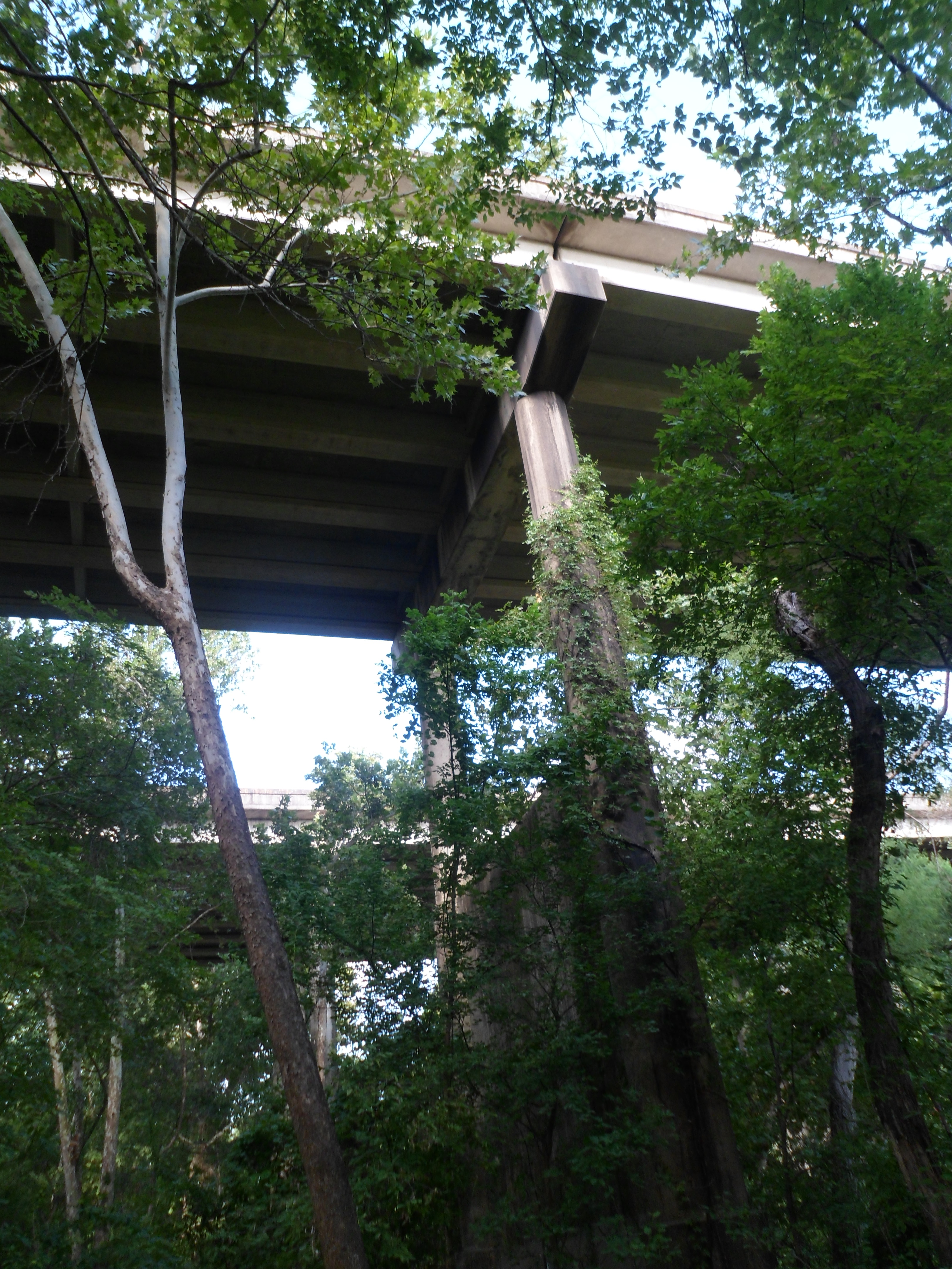
Court went to Dallas for one of her classmate’s birthdays, so it was just me. I hit the trail around 8am and finished up in a little more than 3 hours. There were quite a few bikers, but relatively few hikers for a Saturday in August. The creek is almost totally dry again. The trail was mostly shaded and the heat wasn’t too bad that early in the morning. I saw a few new parts of the trail that I hadn’t seen before, including walking underneath 360.


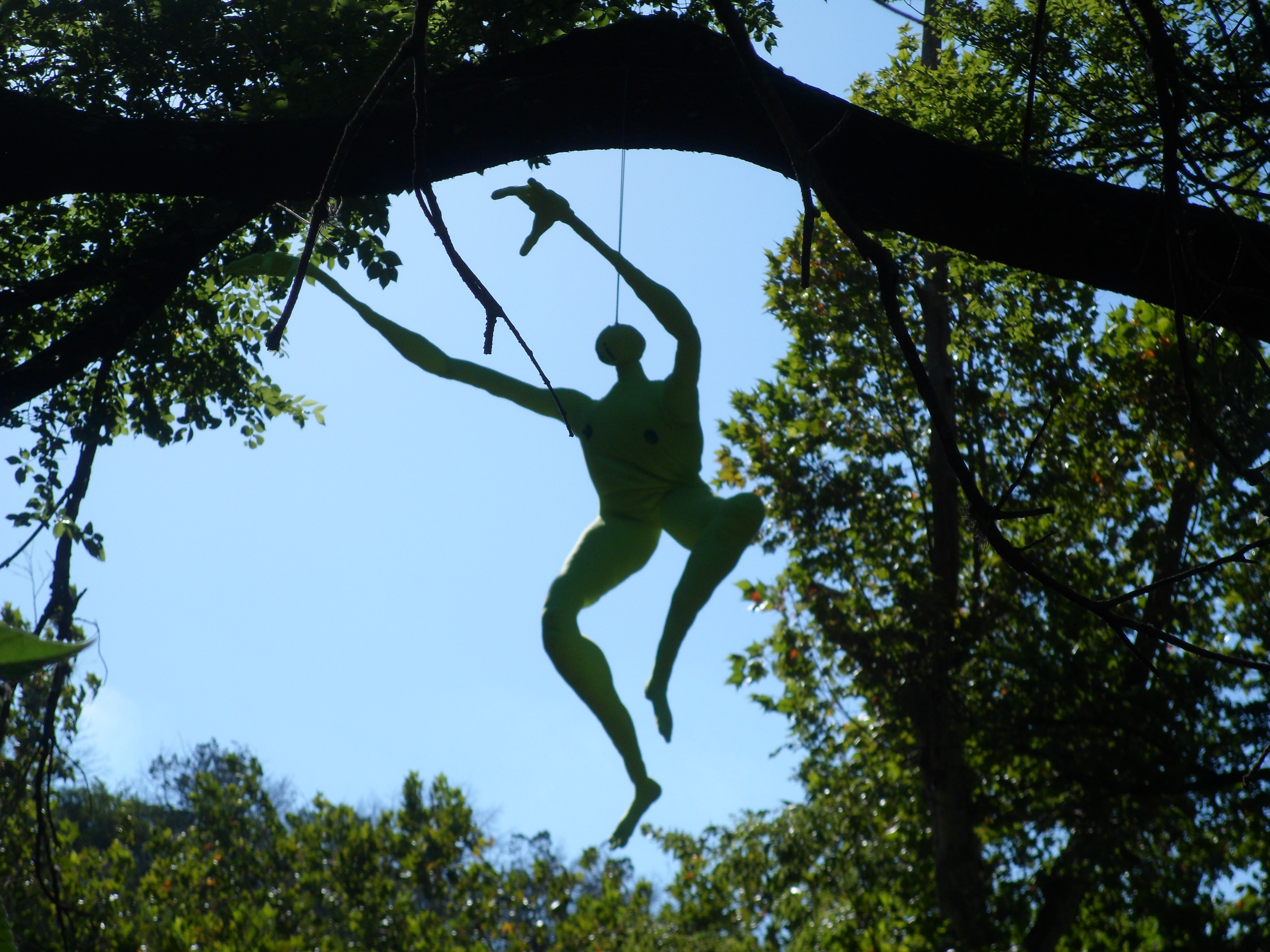
With the crowded trail there was no real wildlife, though I did see one rabbit as he hopped off the trail. At one point on the way back, I saw a bench that was dedicated to a woman who had died in 2008 and the weird part was when I looked up in the trees near the bench. There was a neon green life-sized mannequin with no features other than nipples. Instead of a face on the tiny head there were letters that spelled ‘hi’. Oh Austin, I missed you.

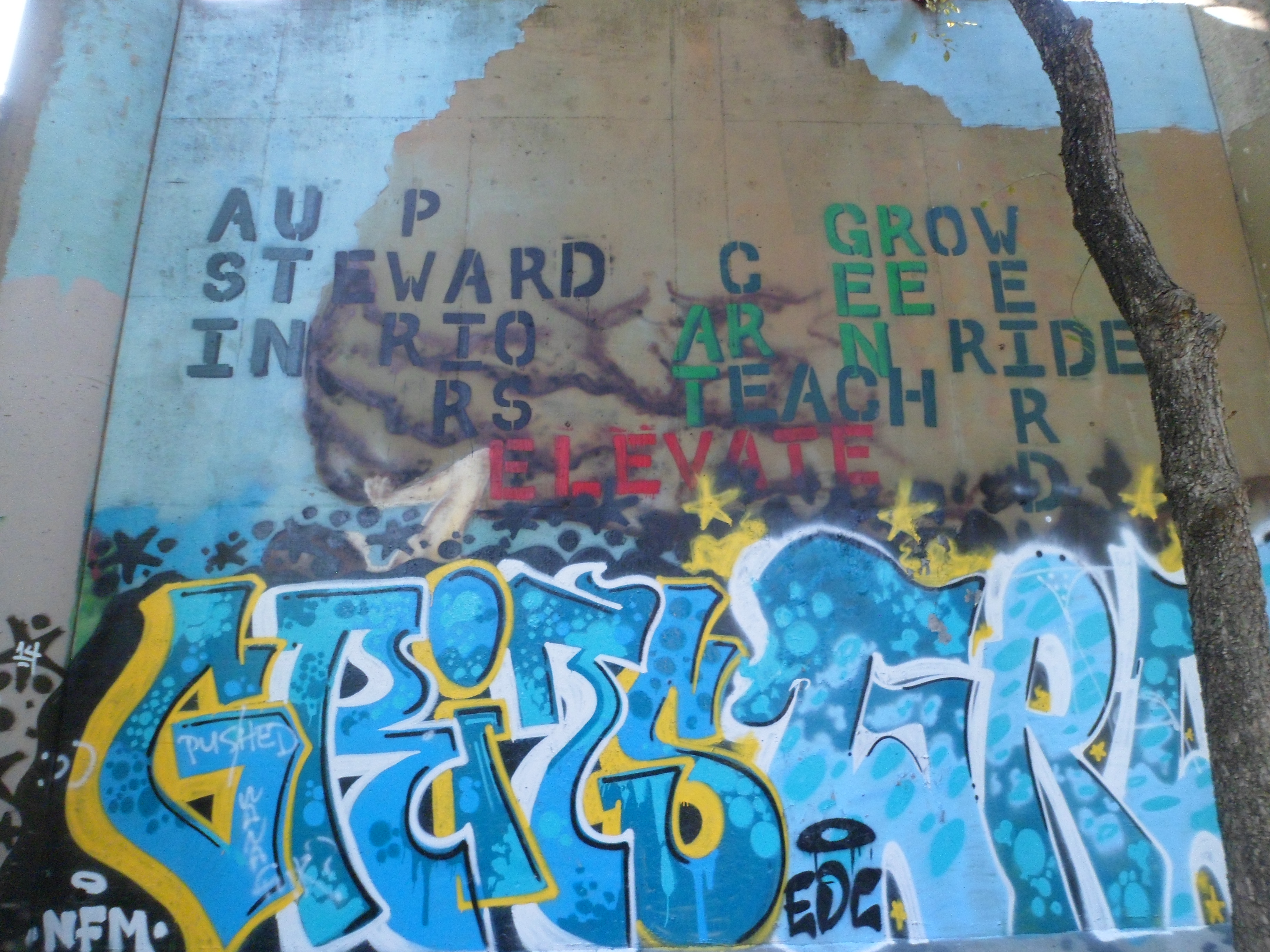
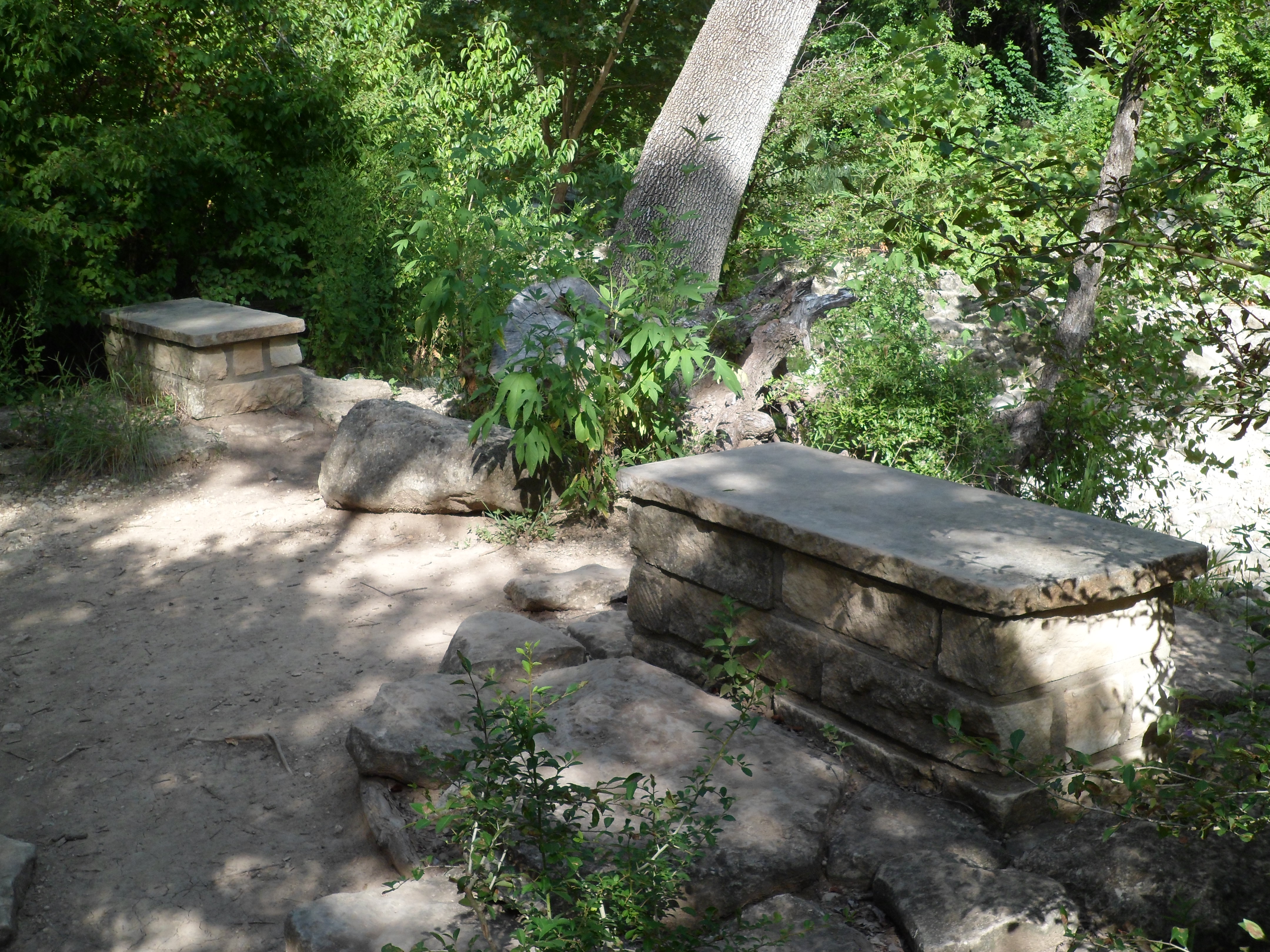
There was some interesting graffiti underneath the 360 bridge and also a couple of stone benches on the edge of the creek that looked like maybe they were supposed to be part of a dock or something, but were never completed. Maybe just benches. Not sure.
Barton Springs afterward felt amazing. I think that needs to be a new post-Greenbelt hike ritual. Glad to be back in Austin.


Recent Comments