Pierce Wanderings
Texas Hiking (and elsewhere)
Buescher State Park – Pine Gulch Loop 11/2/14
November 2, 2014
Hike: Buescher State Park – Pine Gulch Loop
Weather: cool, upper 60s – low 70s, sunny
Hikers: Ian
Length: 7.33 miles
Buescher State Park is only about 30 minutes away from Austin and I had pretty much forgotten about it, despite the fact that I have passed the entrance tons of times on the way out to my parent’s cabin near Winchester. With Court out of town in Dallas for her final review before her licensing exam, I decided to get out in the woods for the morning. Daylight savings hit the night before so with an extra hour, I actually woke up at 6:30 in the morning and got a decently early start. I got to the trail head by about 8:30. It was still in the upper 50s and I had to wear my jacket for the first couple of miles. Hiking solo is a really different experience from hiking with others and it’s easy to let your mind wander and not pay attention to the world around you, which somewhat defeats the purpose of why you are out there. So on this hike I tried to stay in the present as much as possible. With that in mind, the rest of this blog I will write in the present tense.

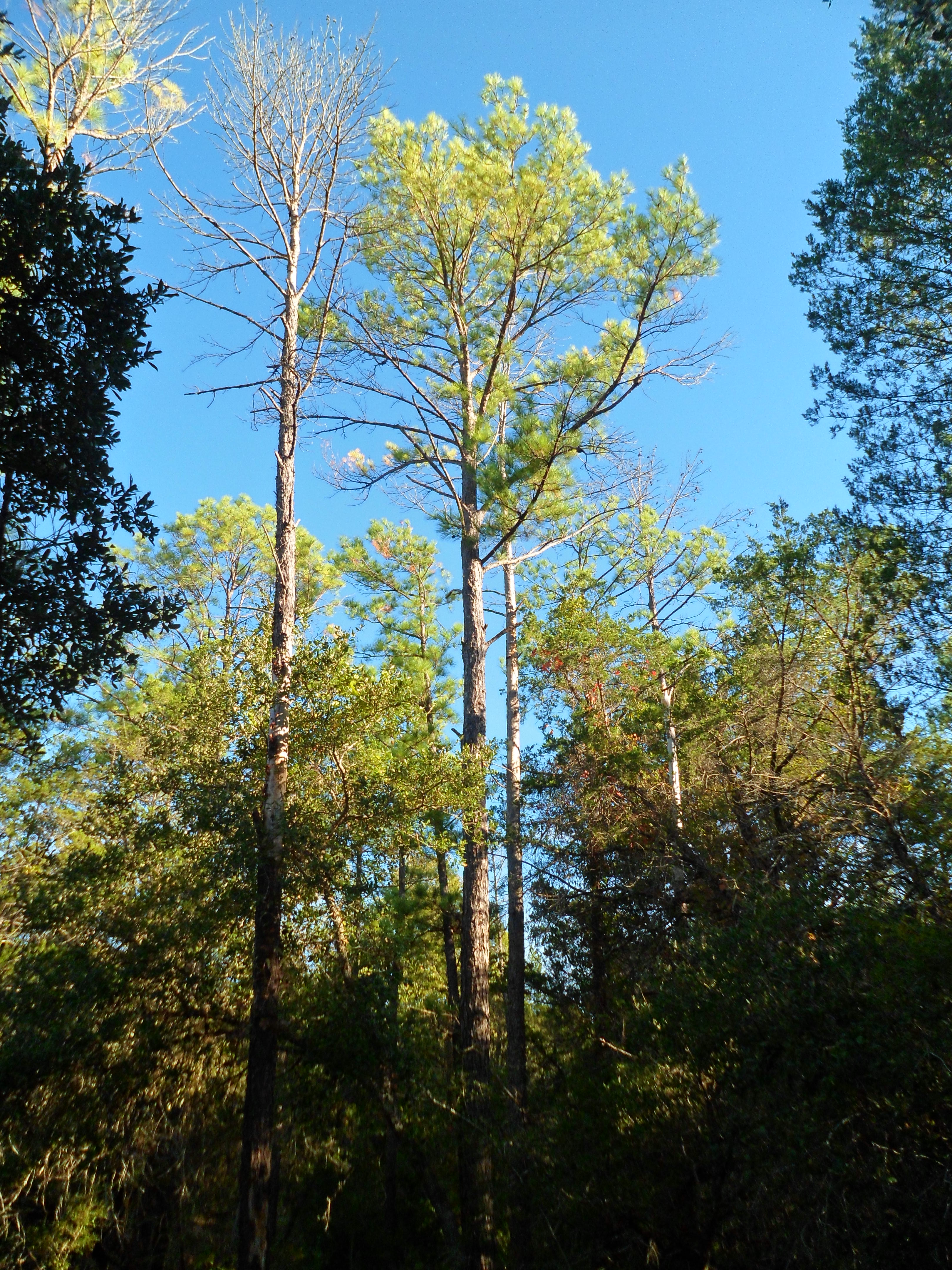
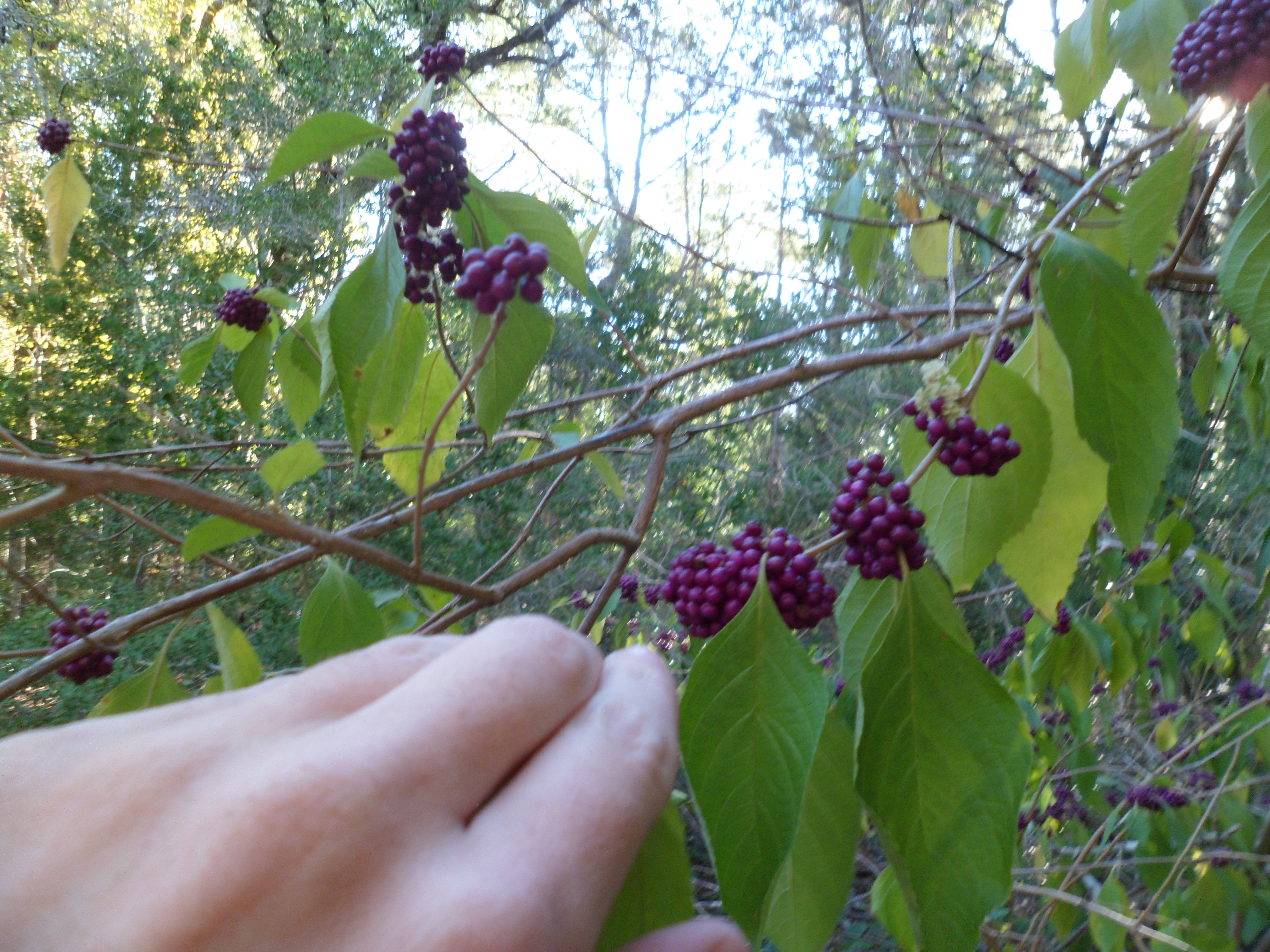
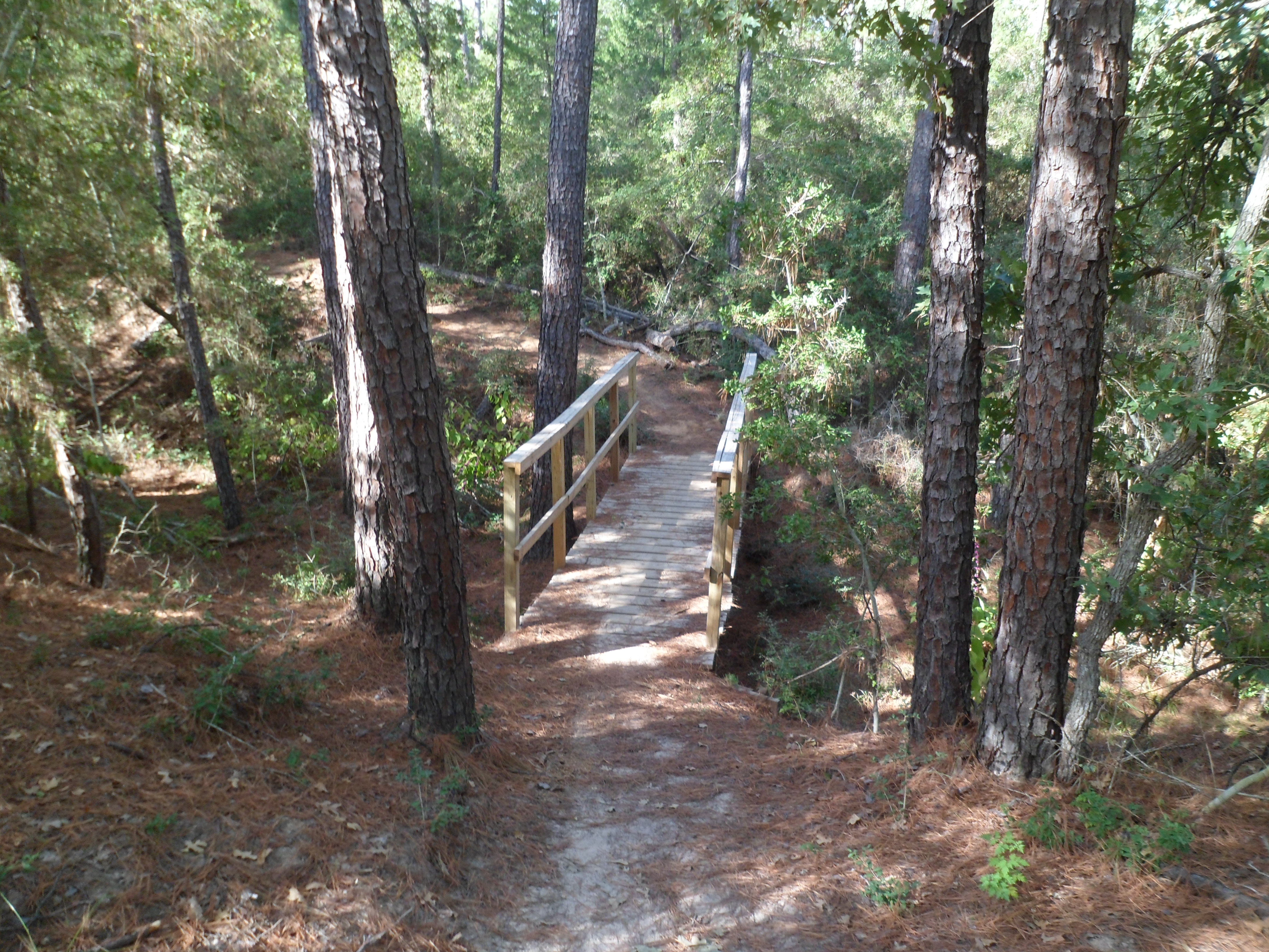
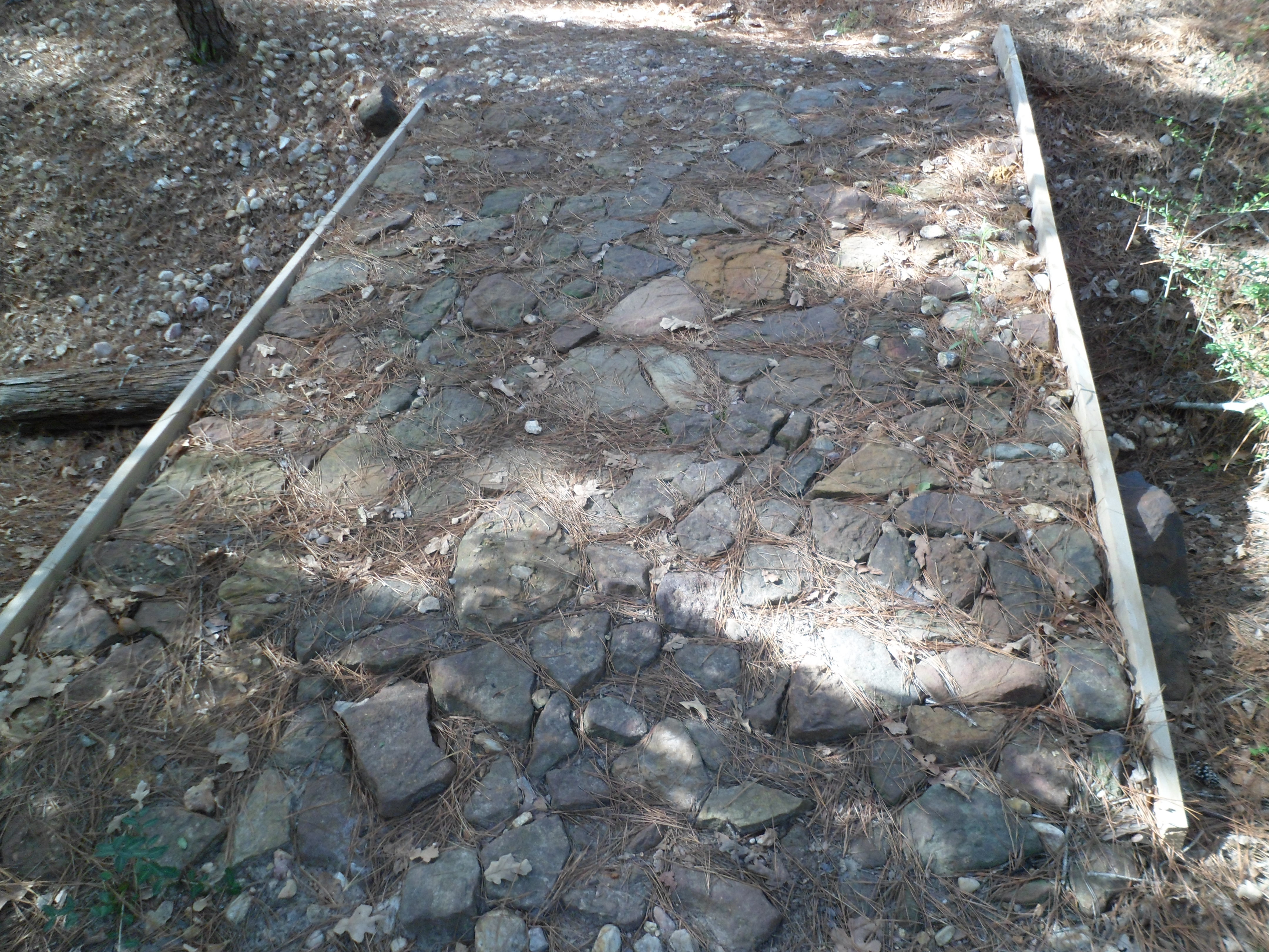
As I start out on the trail, the morning chill bites into me a little bit, but is slowly melting away as the sun rises behind me. There is only one other car at the trail head, so it appears I will have the trail to myself for a while. About a half mile in I see my first wildlife: two white tailed deer, a male and a female. I am very used to deer, as they are all over my parent’s neighborhood in northwest Austin, but for some reason seeing them in the wild is a different experience and is still exciting. They are being very noisy in the forest, but once they notice me they freeze, make eye contact with me, and then turn and bolt the other direction. I try to get a quick picture, but I am not fast enough. Moving on at a solo pace of almost three mph (with companions we usually average two mph), I notice the path varies from sandy to rocky to soft pine needles.


At the first road crossing, I see a sign for the MD Anderson Cancer Science Park. It is a small building in the middle of the woods that you need special clearance to access. Science Park and Research? More like nuclear missile silo if you ask me.

The trail is pretty flat for the first half of the loop, but I know it will gain some elevation on the other side. A little further on I pass a small stagnant pond and am glad that I don’t have to filter water out of it. I see my third deer of the trip, but it escapes my camera once again.


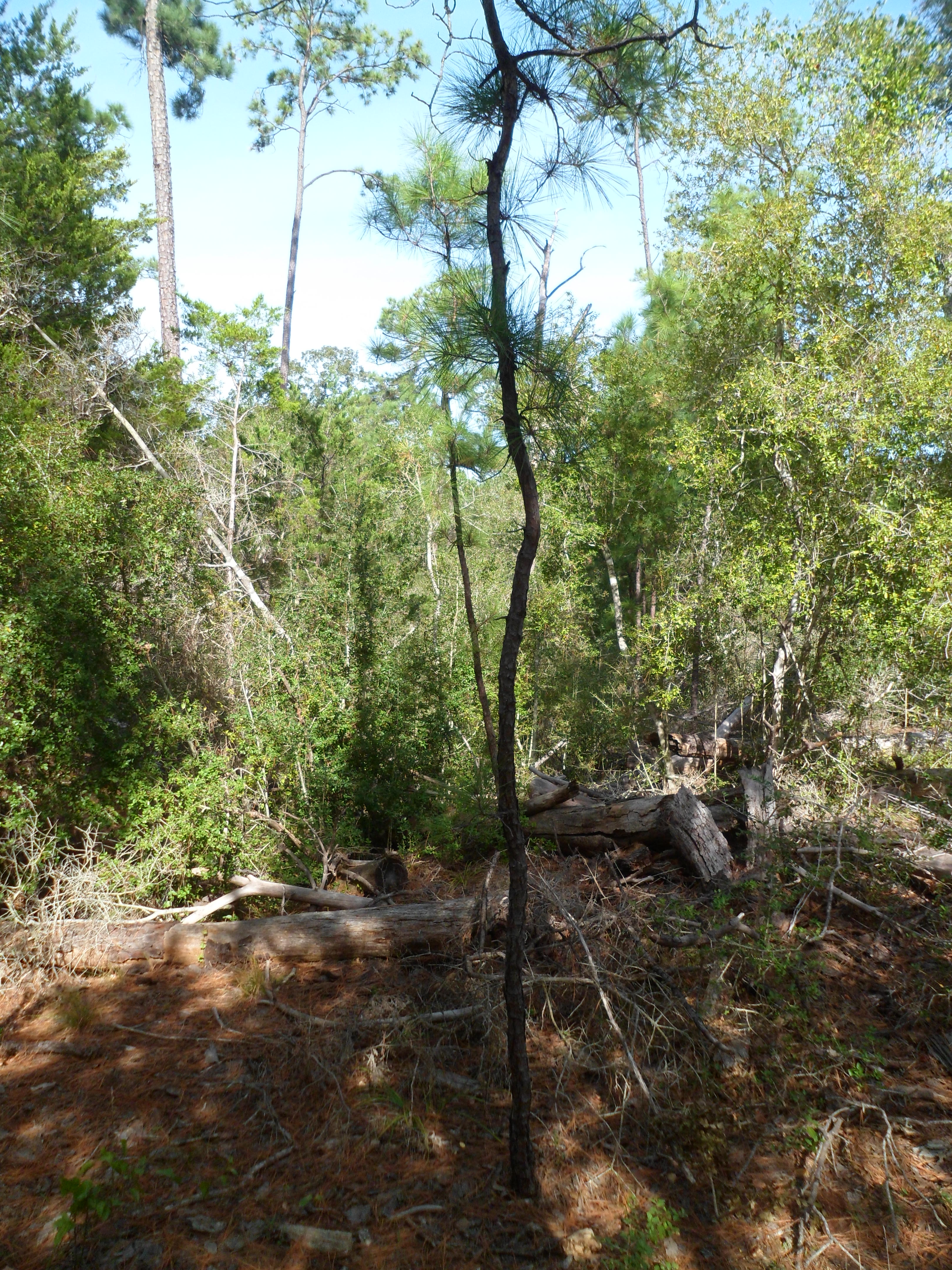
Starting to gain elevation now. I stop for a quick snack break and take off my jacket. The trail is starting to wind a bit more and gain some elevation. As I round one bend I hear a sound in the silent forest that at first sounds like boulders rolling down a hill. Before I can react a great cracking explosion fills the forest and I see the last branches of a 50 foot tall pine descending into the undergrowth about 40 yards off the trail. My heart rate skyrockets and I get into a defensive posture. All of this happens in roughly 5 seconds, so I’m just glad the tree didn’t fall across the trail, as that would have been the end of me. This is definitely a first for my hiking career. After the adrenaline slows a bit I continue on and see my first hikers of the day. Three people heading the opposite direction on the loop. I say a quick “good morning” to them just before I see a small pine that reminds me of a Dr. Seuss plant, the way it grew up windy and curvy.
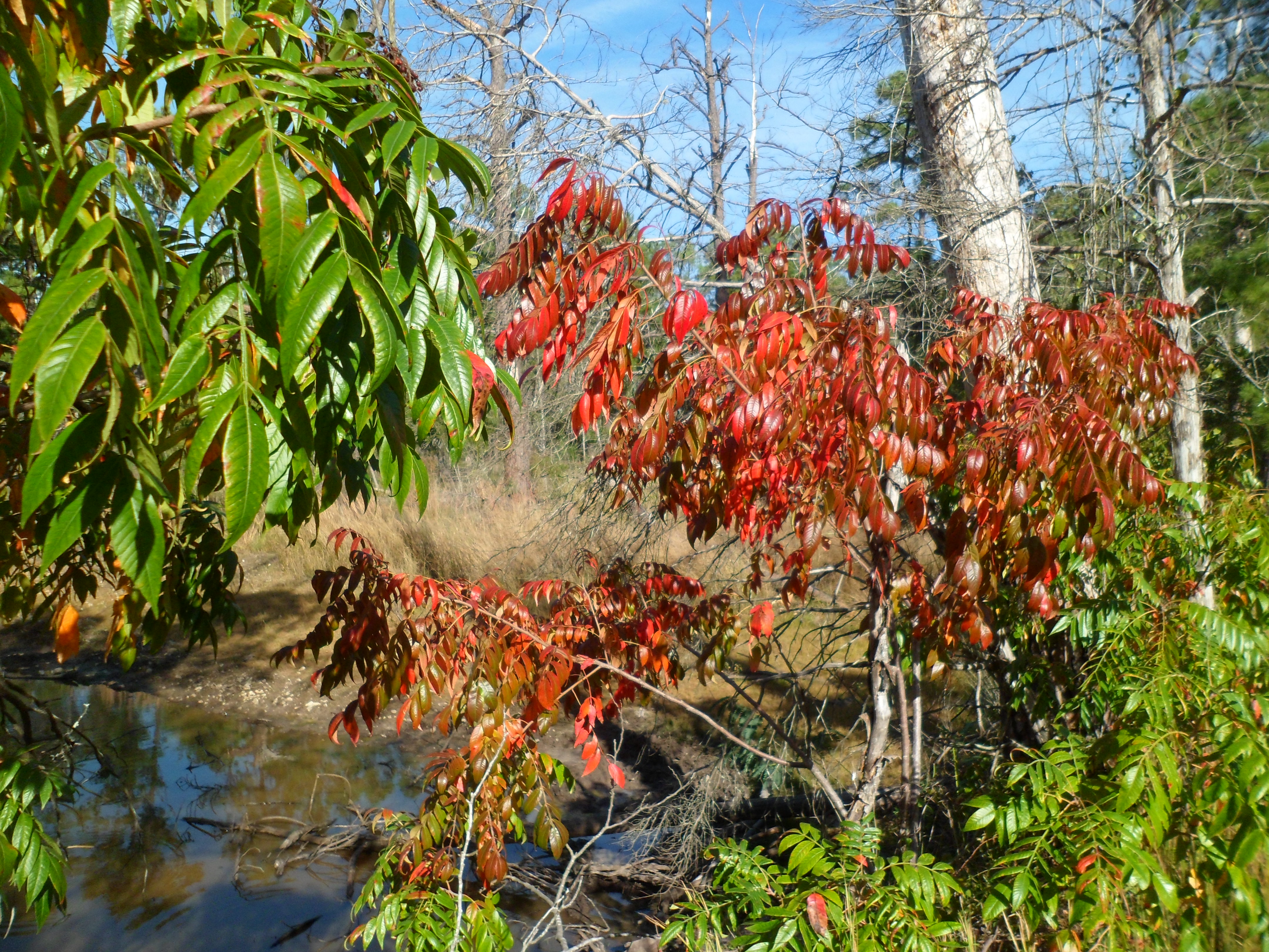
With about 2 miles left, I come across an unexpected viewpoint that looks out in the direction of Bastrop and has a nice view of the plains below. I haven’t taken a video in a long time, so what better spot?
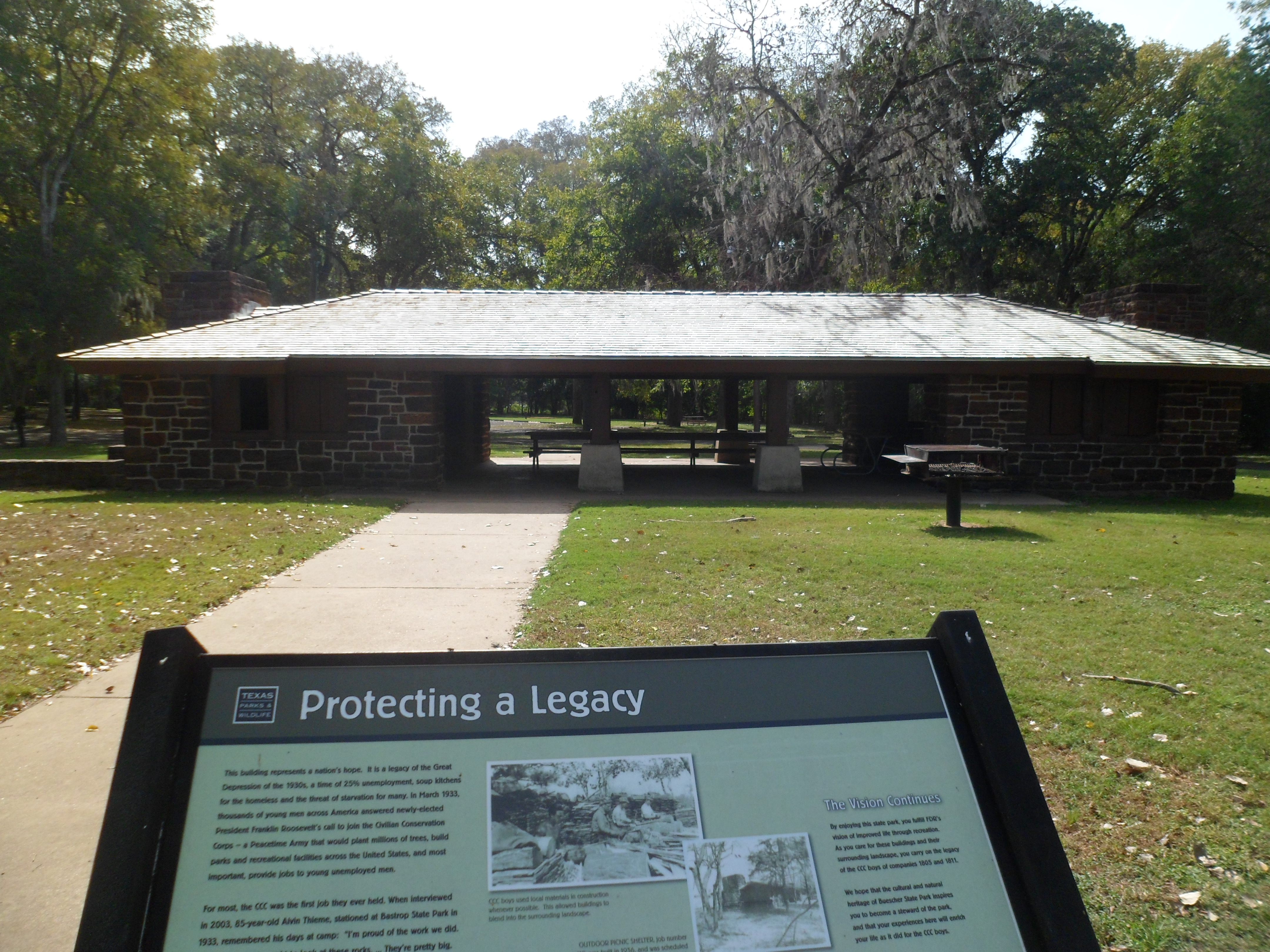
I finish up the hike and it doesn’t feel like I just did almost 7.5 miles. I get back to my car and go a little further down the park road to an old CCC-built picnic shelter and also a short path to a big Cedar Elm called “Big Tree Trace”. It is big, but I feel like there are other trees around that are bigger.


Back to past tense. This was a really nice hike that I would like to repeat with Court and maybe do an overnight. Hopefully no trees will almost crush me next time.
Some info on the park below from Wiki:
Buescher State Park is a state park located just north of Smithville, Texas. The park consists of 1,016.7 acres (411 ha) of public land donated to the state by Mr. Emil and Mrs. Elizabeth Buescher, as well as the City of Smithville. Between the years 1933 and 1936, Mr. Emil and Mrs. Elizabeth Buescher deeded 318 acres (129 ha) of land to the State of Texas. After Emil Buescher’s death, his heirs donated 318 acres (1.29 km2) more. The rest of the parkland was acquired from the city of Smithville. Companies 1805 and 1811 of the Civilian Conservation Corps built many of the park facilities between 1933 and 1939 using native stone to better blend with the surrounding landscape.
When it opened in 1940, the park was 1,738 acres (703 ha). In 1967, the Texas Legislature transferred 700 acres (280 ha) to The University of Texas M. D. Anderson Cancer Center for use as a science park research facility.
The park features a 7.7-mile (12.4 km) round trip hiking trail through the park’s undeveloped area. There is also a small lake open for canoeing and fishing. The lake is stocked with crappie, catfish and bass year around and with rainbow trout in winter. Camping and picnicking areas are available. Buescher is less than four miles (6 km) to the east of Bastrop State Park and the two are connected by Park Road 1. Over 250 species of birds have been spotted in the park throughout the year. Mammals include White-tailed deer, raccoons, opossums, bobcats, and armadillos.


One Comment on “Buescher State Park – Pine Gulch Loop 11/2/14”
Leave a comment
Recent Comments
| Ian on Cotswolds Day 5 – Moreto… | |
| Dena on Cotswolds Day 5 – Moreto… |

Pingback: Buescher State Park – Pine Gulch Loop 1/29/15 | Ian And Court's Wanderings