Pierce Wanderings
Texas Hiking (and elsewhere)
Council Crest 5/4/13
May 4th, 2013
Hike: Marquam Trail to Council Crest, Portland, OR
Weather: Low 80s, sunny, breezy
Hikers: Ian, Court, Greg, Cat
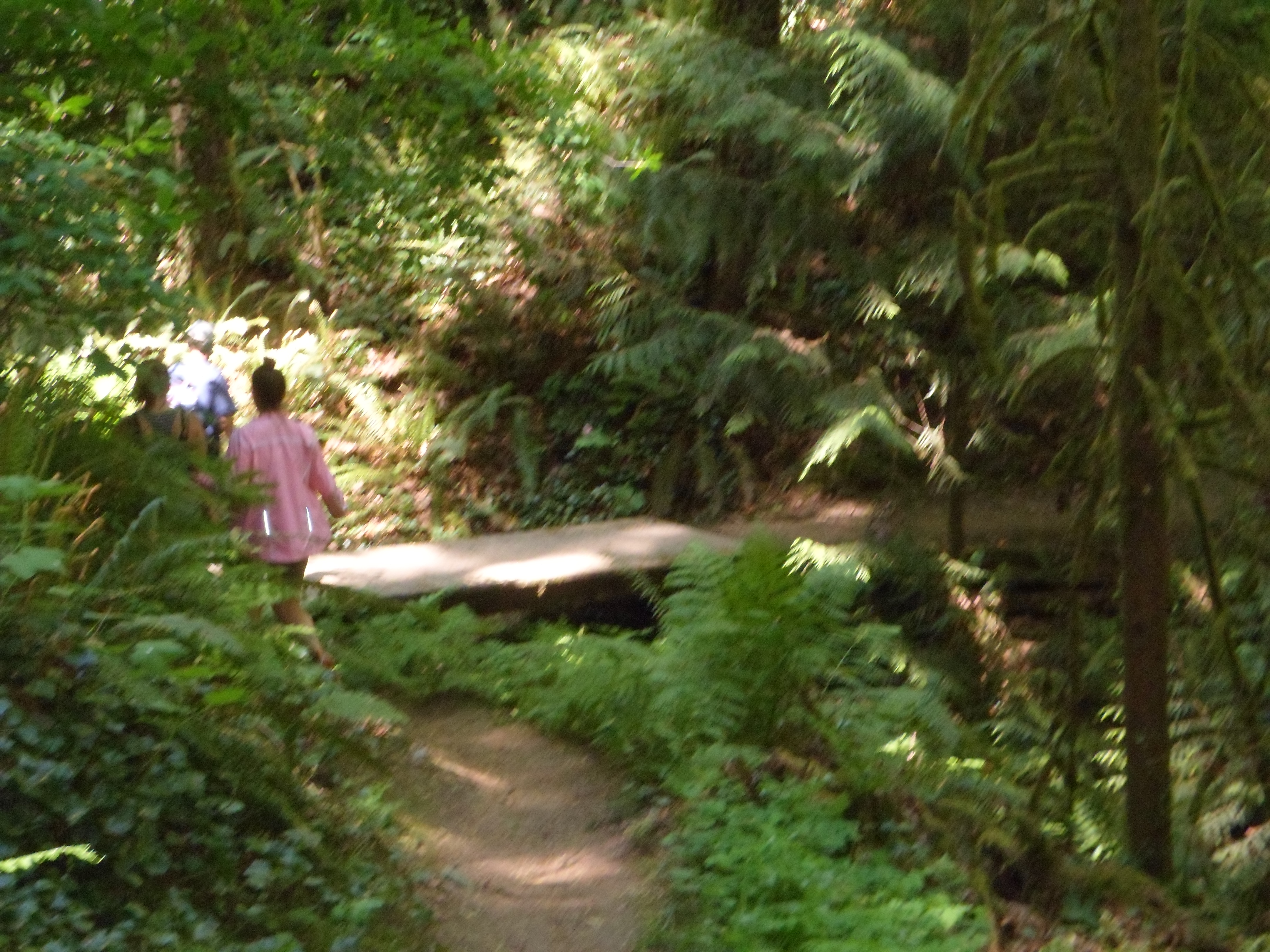
This was Ian and Court’s second trip to Marquam, Greg and Cat’s first. Trail wasn’t too crowded and a bit drier than the first time. Breeze felt great under the shade of the trees. We made the roughly 3.2 mile loop in about 2 hours.
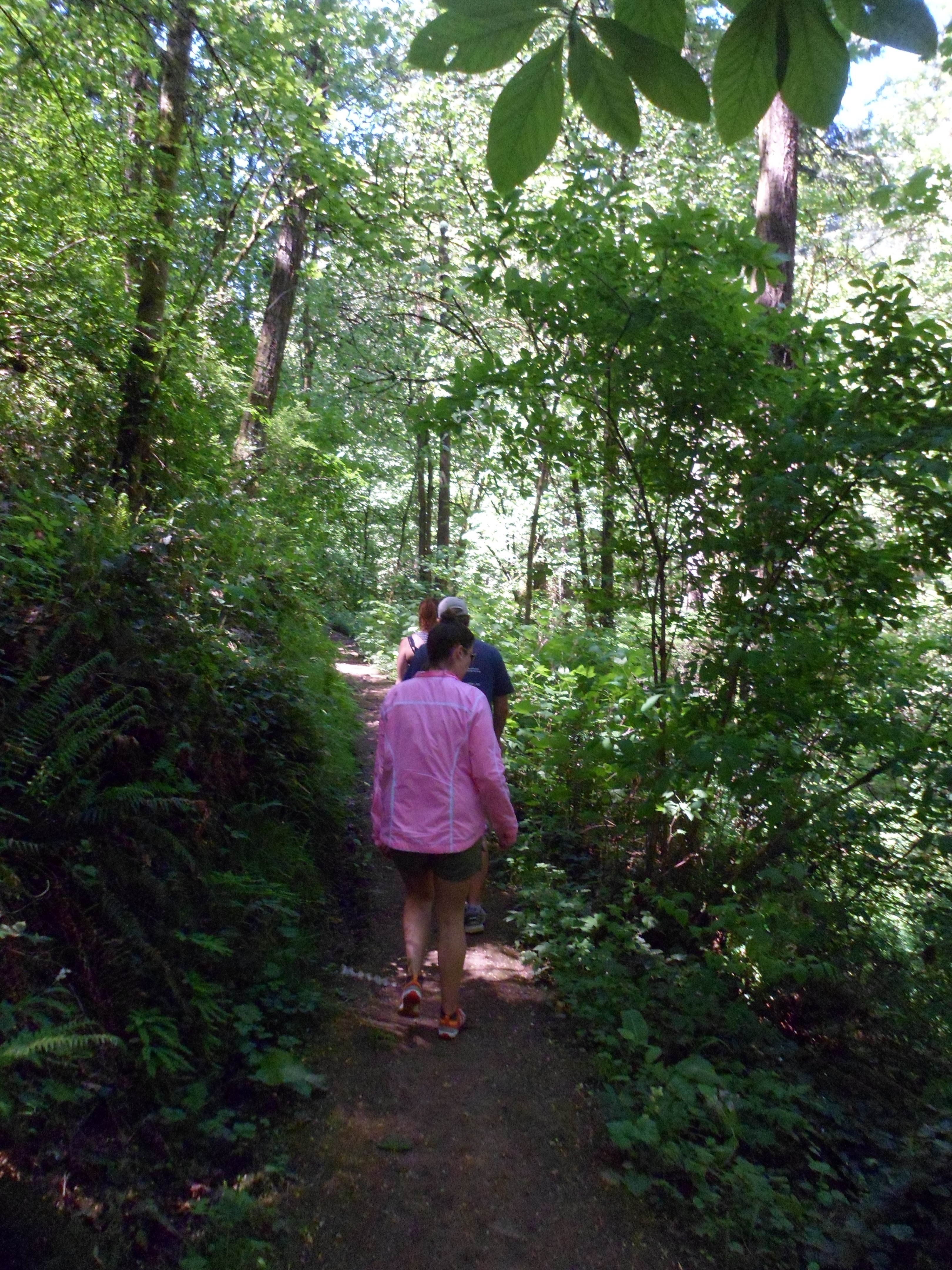
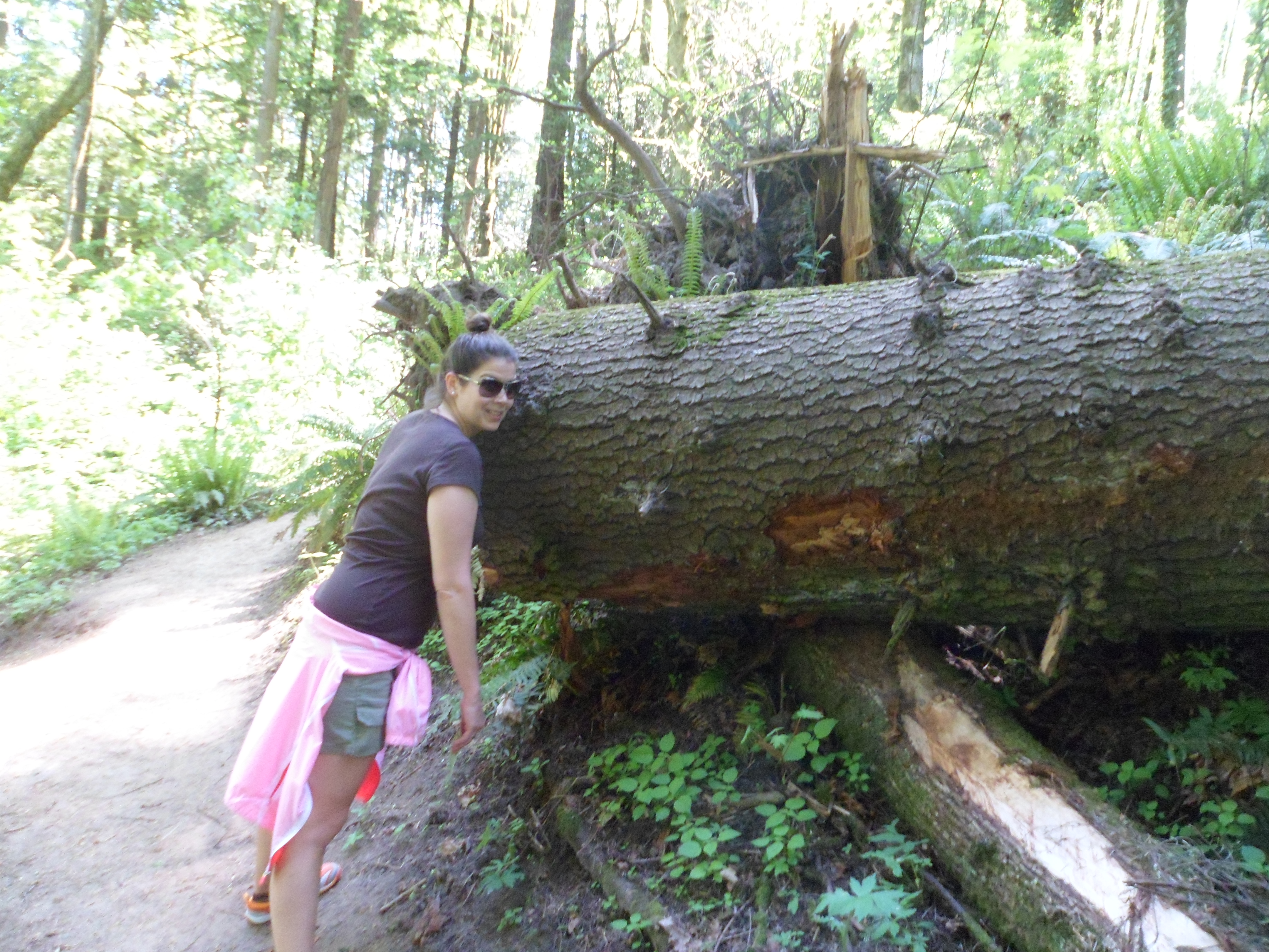
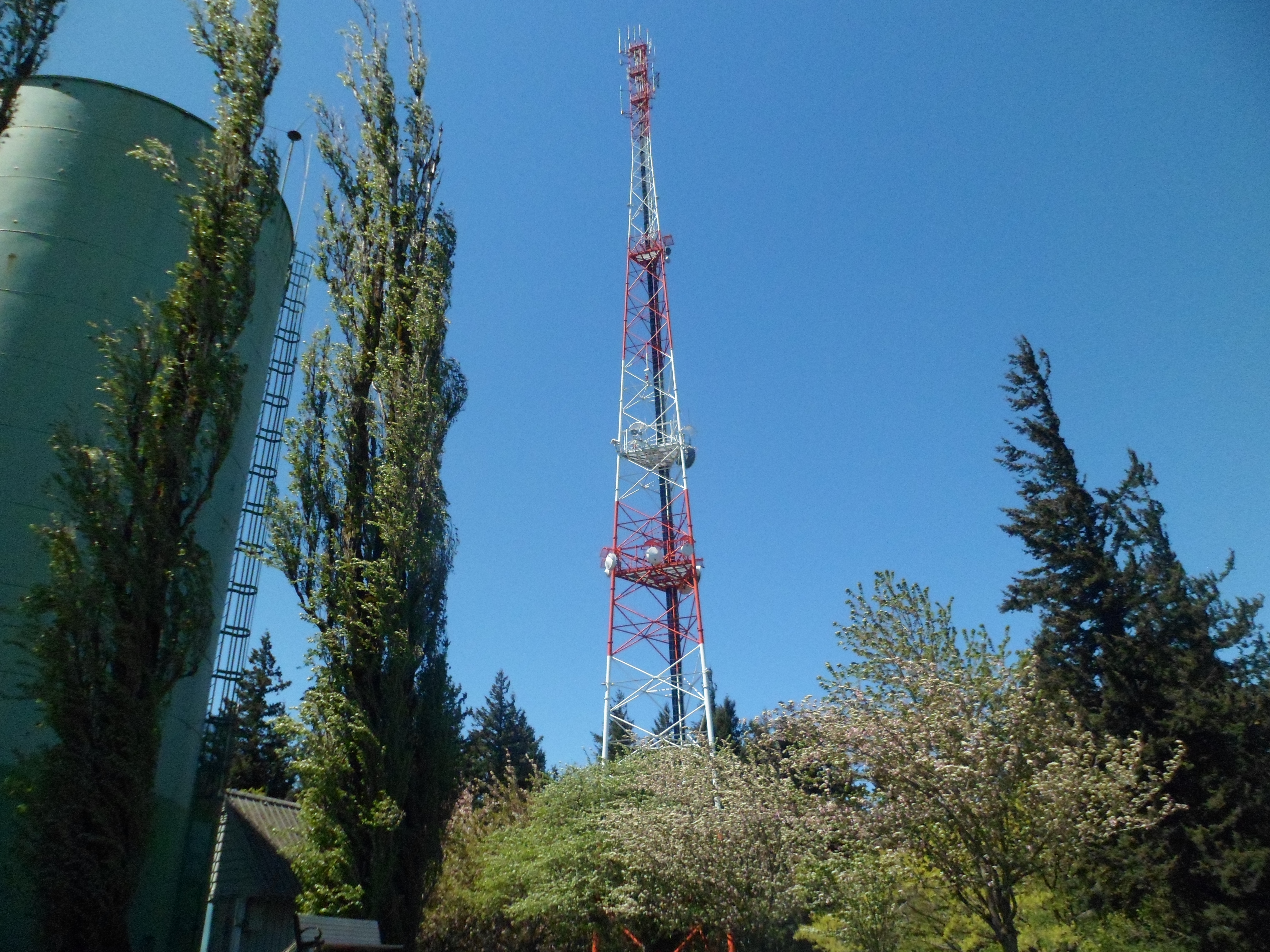
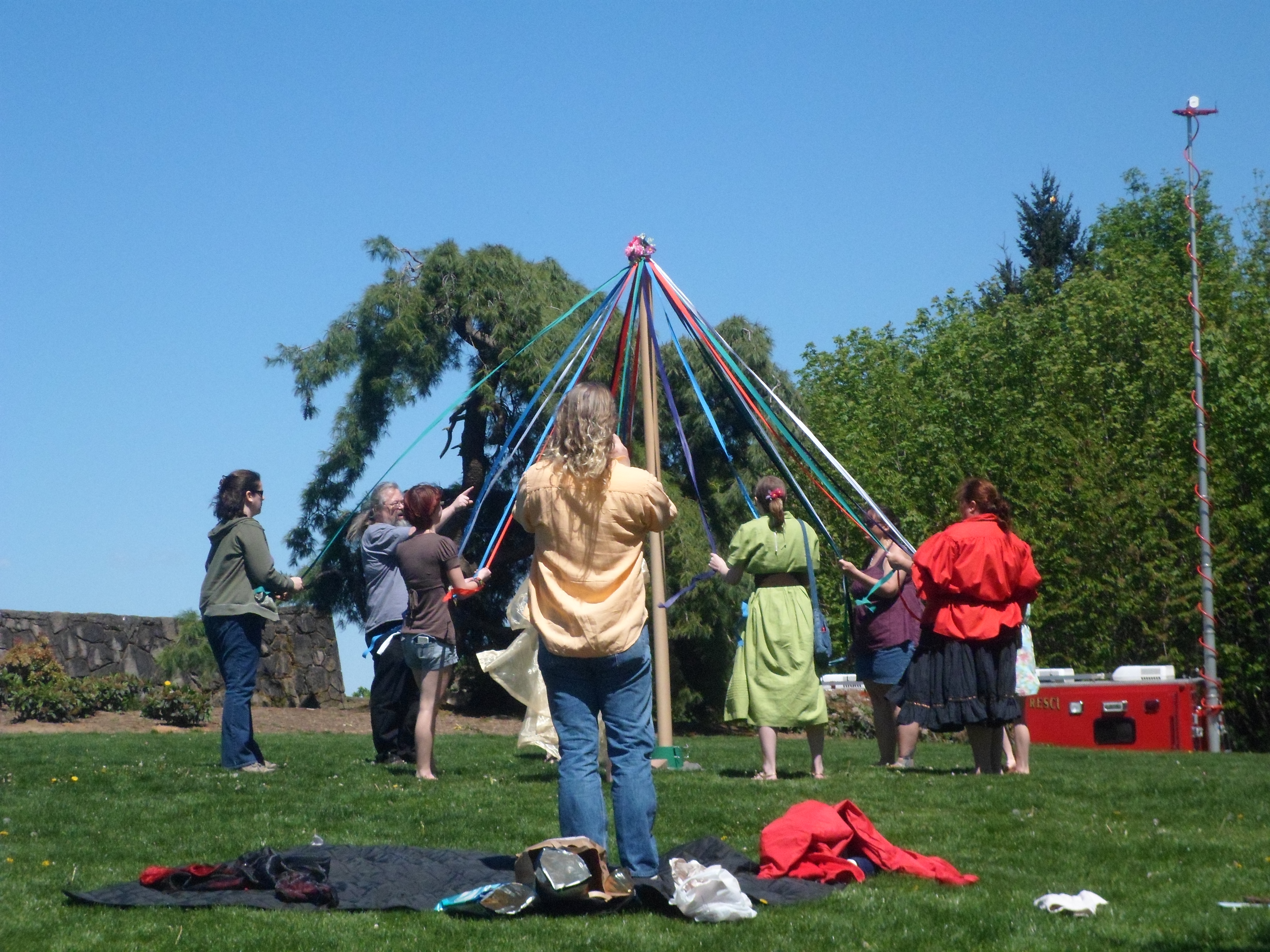
The summit was gorgeous. There was a group of people wrapping a Maypole at the top. We had clear views of Mt. Hood and Mt. Adams (St. Helens too, I think). On the way back down we saw a black snake on the trail, but it got away before we could identify it. Ian also broke in his new hiking shoes on this trail.


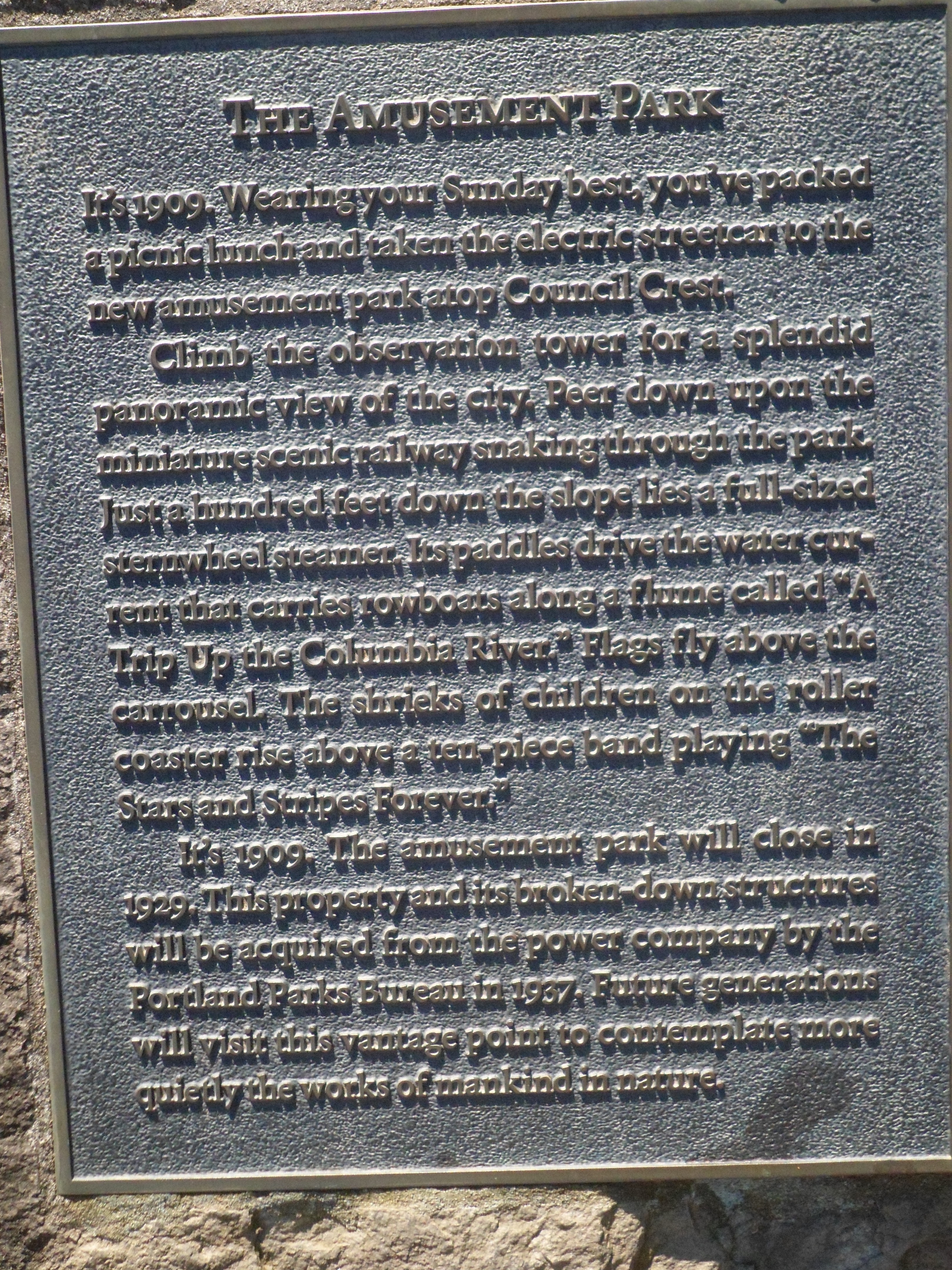
“At 1,071 ft above sea level, Council Crest is the highest point in the Tualatin Mountains (West Hills) that run parallel to the Willamette River in Portland.” – Wikipedia

Recent Comments