Pierce Wanderings
Texas Hiking (and elsewhere)
AT Southern Terminus and Benton MacKaye Trail 10/21/16
Friday, October 21, 2016
Hike: Appalachian Trail Southern Terminus and Benton MacKaye Trail, near Dahlonega, GA
Weather: windy, misty, cold, mid 50s
Hikers: Ian, Court, Isaac
Length: 5.13 miles
This was my second hike on the AT in the last couple of months. Last time was in Massachusetts, just a few hundred miles from Kathadin, and this time we were at the beginning of the Trail in Georgia. Quite the change of scenery.
We were staying with Isaac’s in-laws at their house in Dahlonega for his birthday, which is only about an hour drive to Springer Mountain and the Southern Terminus. We woke up early and made the drive, which would be a relatively short trip except the second half is straight up the mountain on a bumpy Forest Service road.
When we got to the Springer Mountain parking lot the clouds were starting to gather. We knew there was a small cold front blowing in, but the front was looking a little more than small at the top of the mountain. Luckily the rain stayed away and it was mostly just a cold wind and some fog, which made for an interesting hiking environment. Court donned my Patagonia Houdini and we set off down the trail…the wrong way.
I realized we were heading north on the AT, when we should have been going south about one mile to the Terminus. We flipped around and headed back the correct way. There were three section hikers heading the same way that we passed who said they were starting a 10 day hike. Good luck to them.


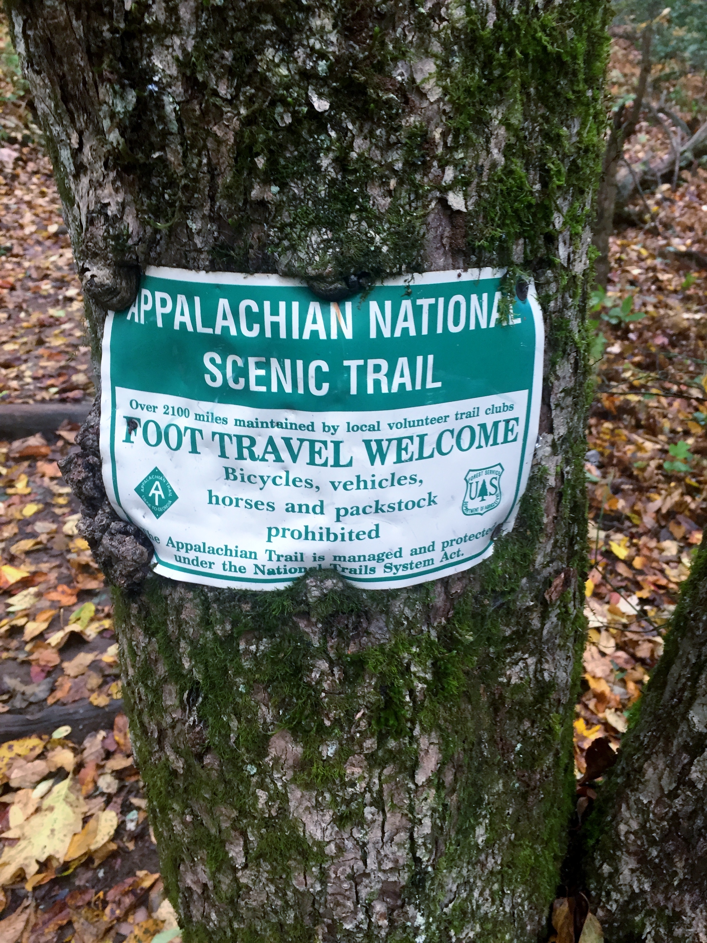
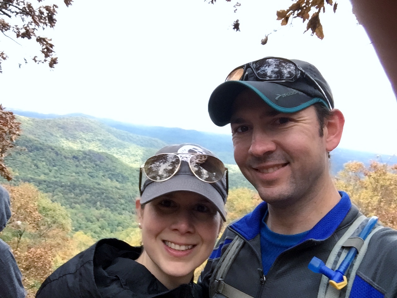
The AT is rocky in this first section, but well maintained, as it was in Massachusetts as well. We quickly reached the Southern Terminus and took photos. There was no view because the clouds had socked us in and the wind was getting stronger, so we didn’t linger. It was very cool to have been at the monument though.
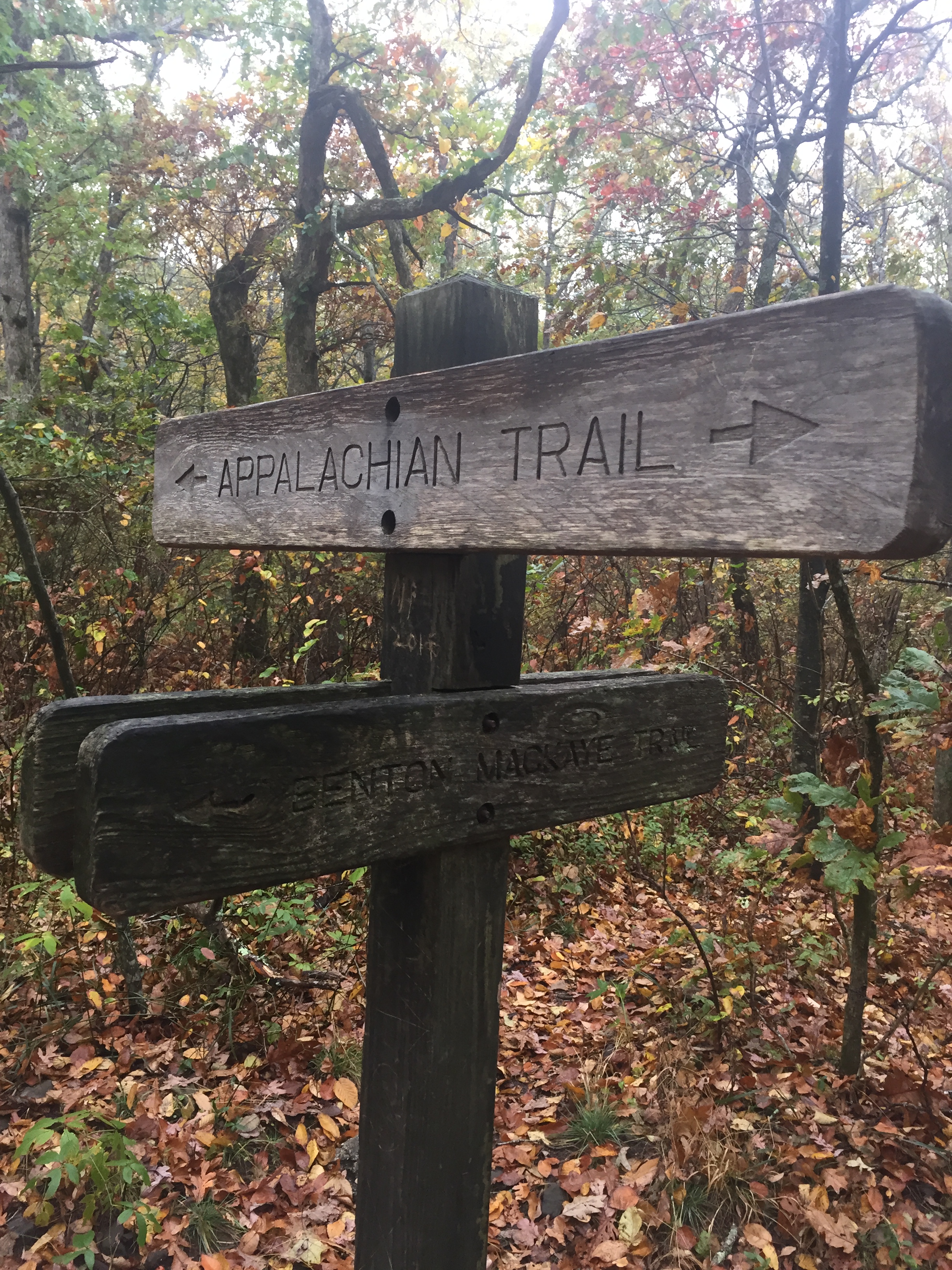


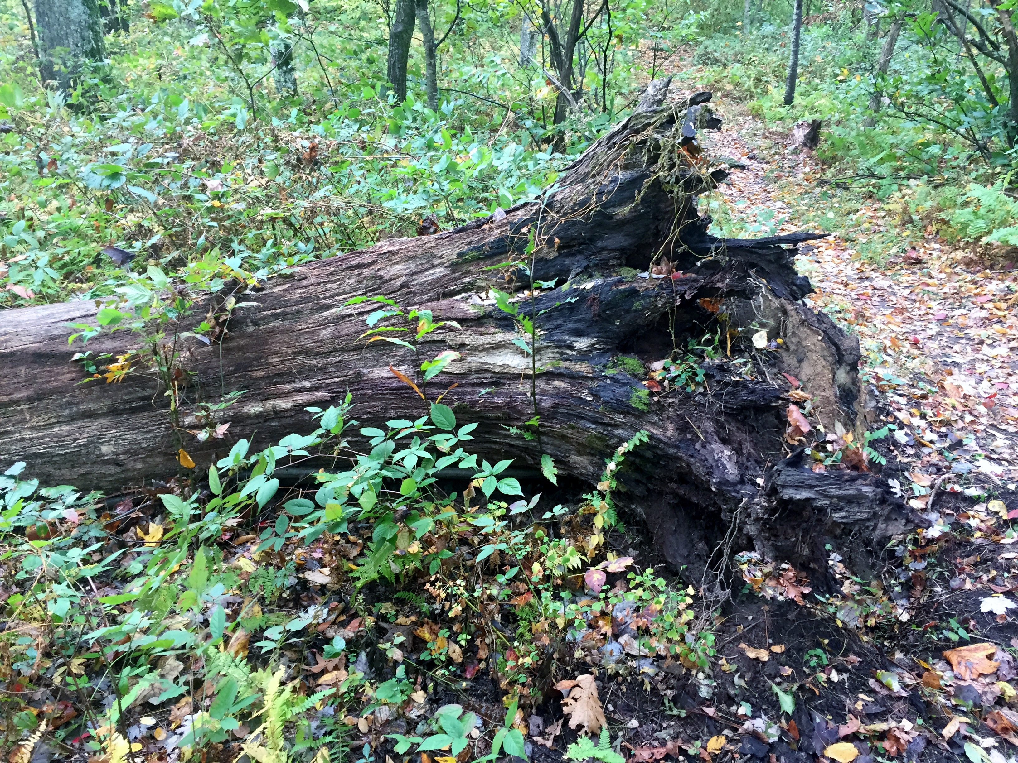
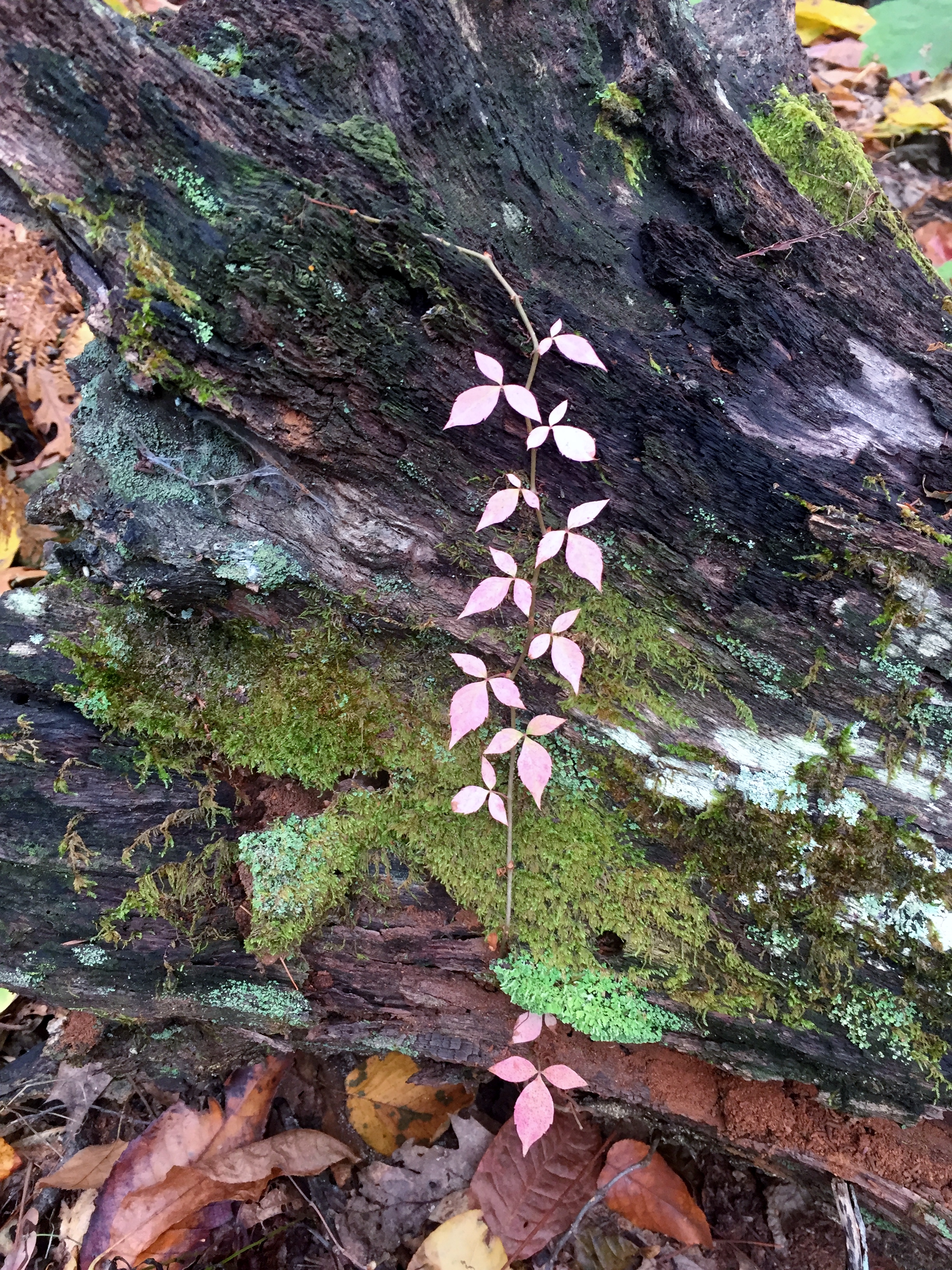
We headed back north, made a quick pit stop to check out the Springer Mountain shelter (we actually just saw the campsites, not the shelter), and then jumped onto the Benton MacKaye Trail to make a loop back to the parking lot. This trail was fantastic. It was really well groomed and actually was grassy in parts, making for a very pleasant tread. The autumn leaves coating the forest floor wove a colorful tapestry of yellows, reds, browns, oranges, and purples.


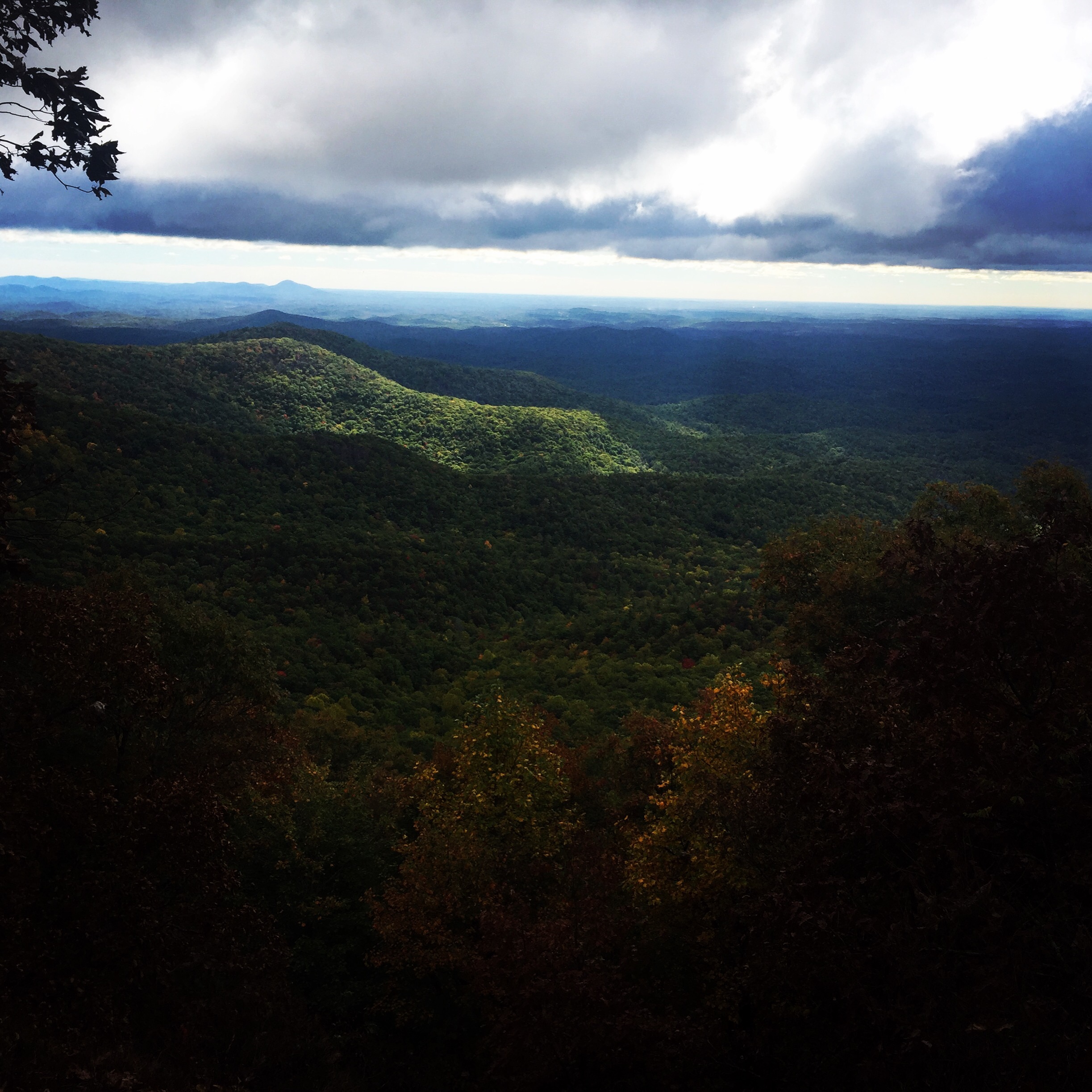
We almost missed the best (and only) view of the Trail because the sign at the junction is barely legible. Luckily we figured it out and found the viewpoint looking south off of Ball Mountain. The sun had started to peek through and the views were spectacular. Of course the photos can’t capture the depth.


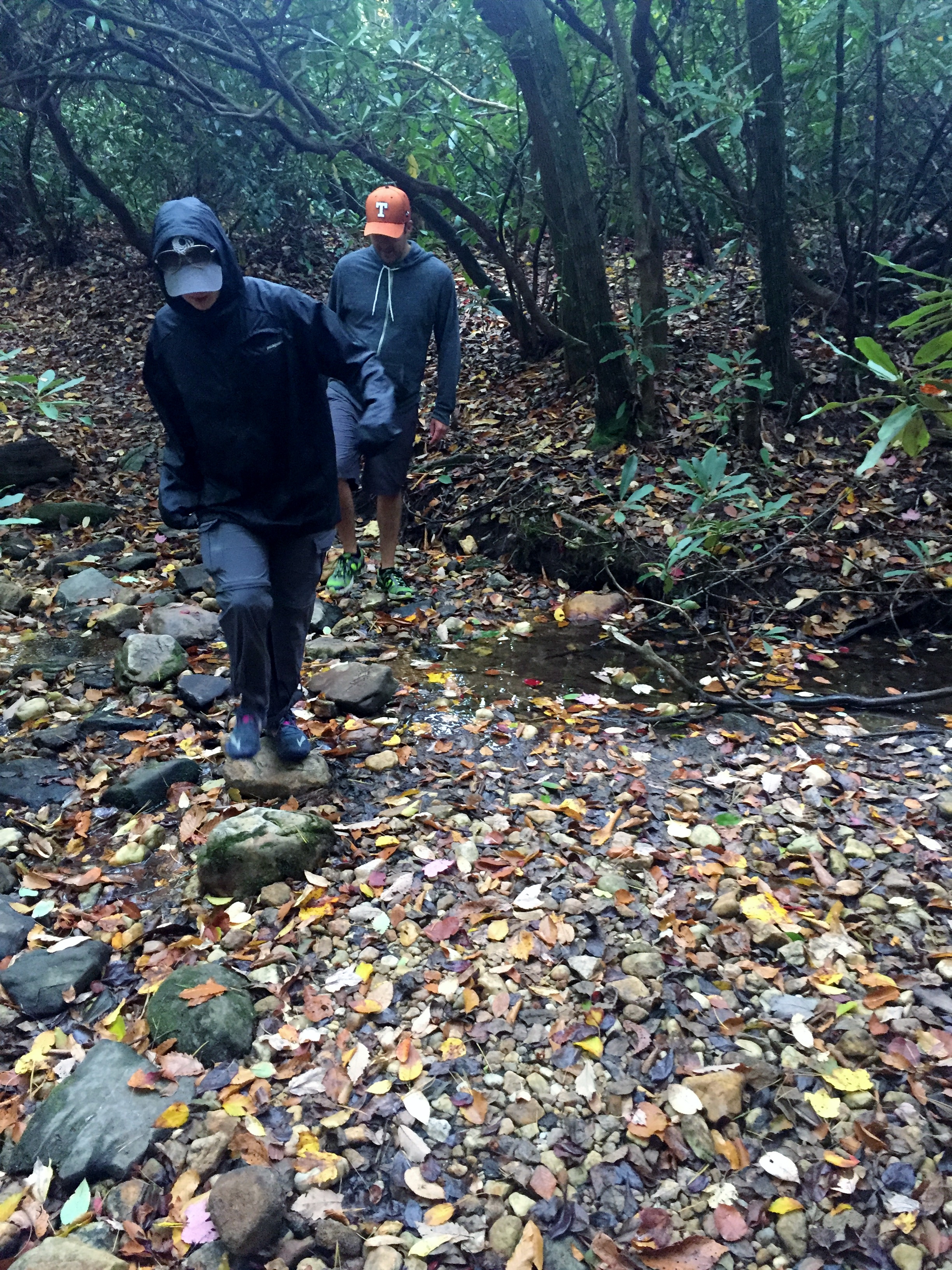
We continued on down the Benton MacKaye Trail, crossed the Forest Service road we came in on and wound down into a ravine where it almost started to feel jungle-like instead of forest-like. We decided the bugs here in the summer would likely be intense. The trail climbed back up and intersected the AT where we headed back southbound for a short distance back to the car.
Great hike and glad Ike got to join.


2 Comments on “AT Southern Terminus and Benton MacKaye Trail 10/21/16”
Leave a comment
Recent Comments
| Ian on Cotswolds Day 5 – Moreto… | |
| Dena on Cotswolds Day 5 – Moreto… |

Beautiful scenery, Ian and Court!
Sent from my iPhone
>
Pingback: Amicalola Falls and AT Approach Trail – Amicalola, GA 10/23/22 – Pierce Wanderings