Pierce Wanderings
Texas Hiking (and elsewhere)
McKinney Roughs 6/12/15
Friday, June 12th, 2015
Hike: McKinney Roughs Nature Park, Wyldwood, TX
Weather: partly cloudy, humid, low 90s
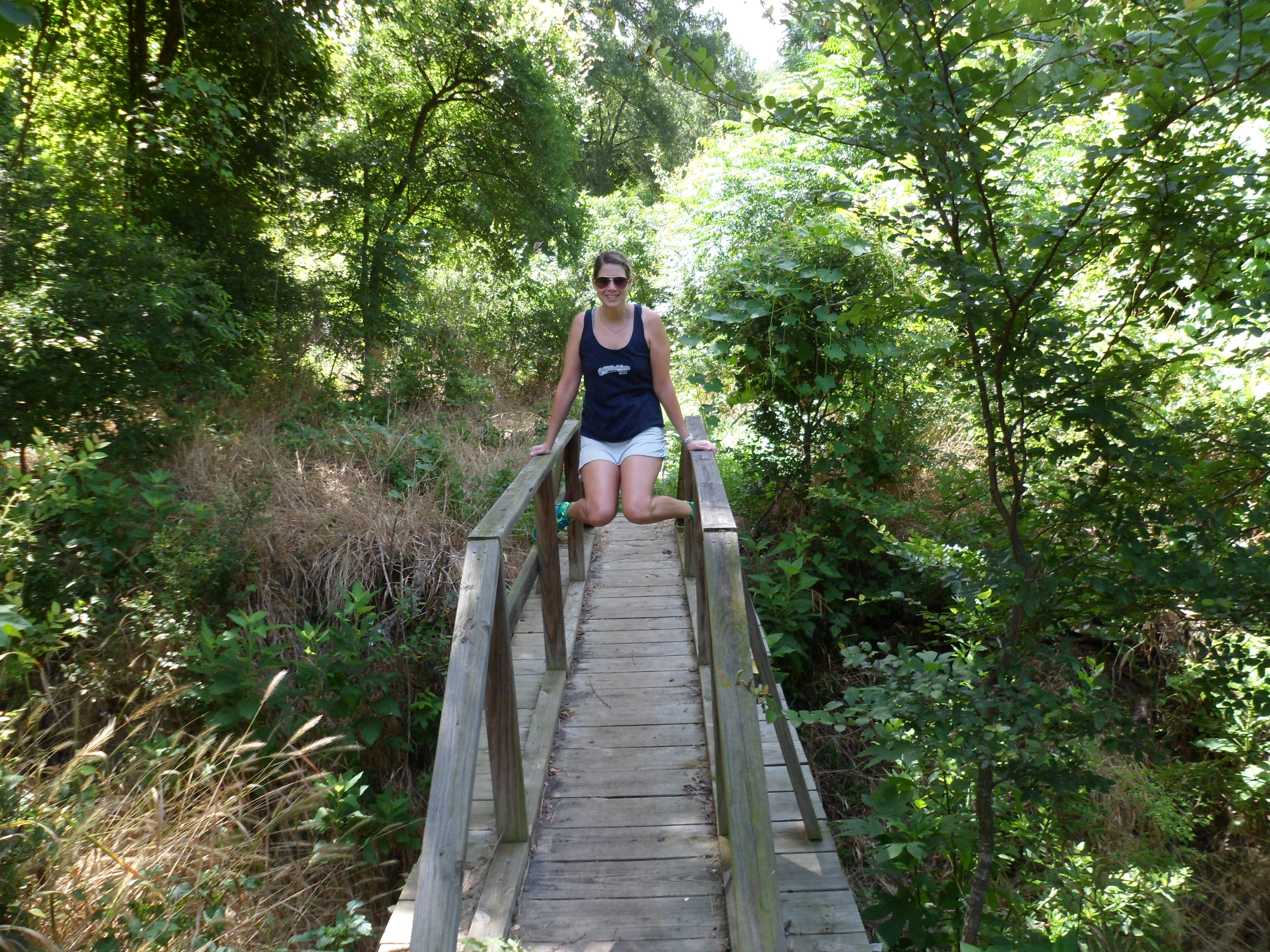
Hikers: Ian, Court
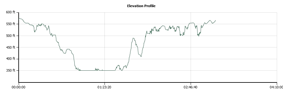
Length: 5.47 miles
We’ve been wanting to hike this park for a long time, but with the heavy rains in May a lot of the trails were closed. With everything dried out we decided to check it out. And this ended up being one of the best trails we’ve done in a long time. Certainly the most well marked.

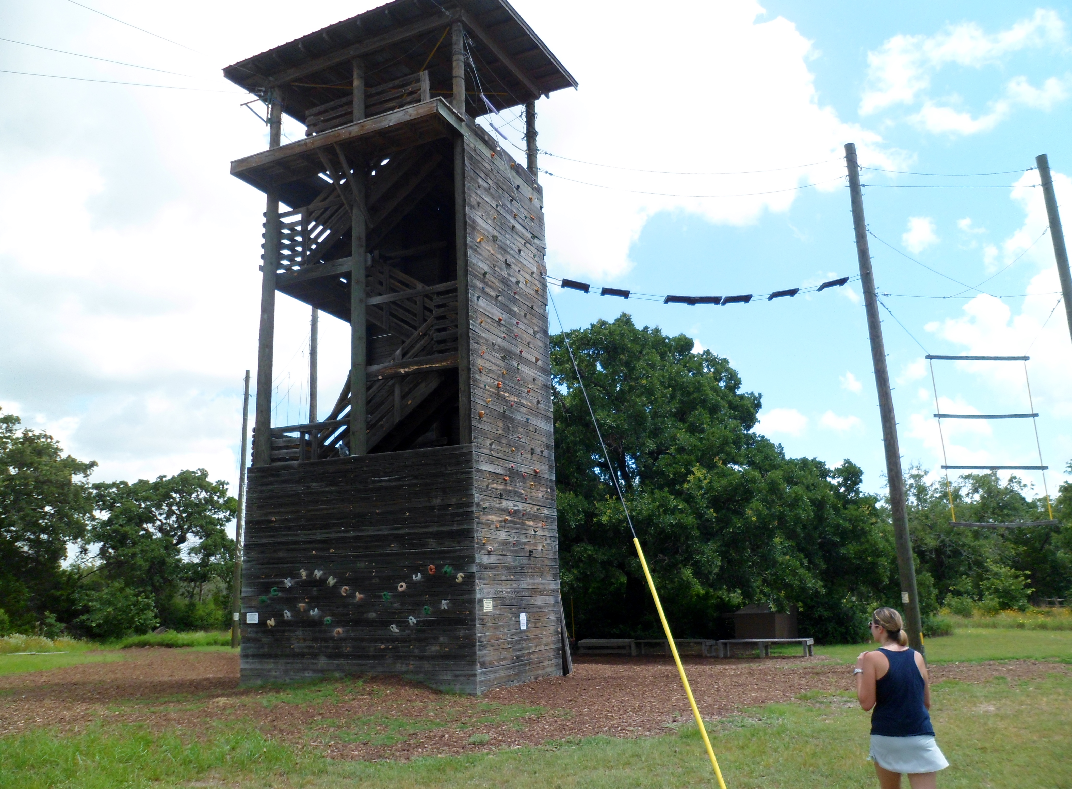
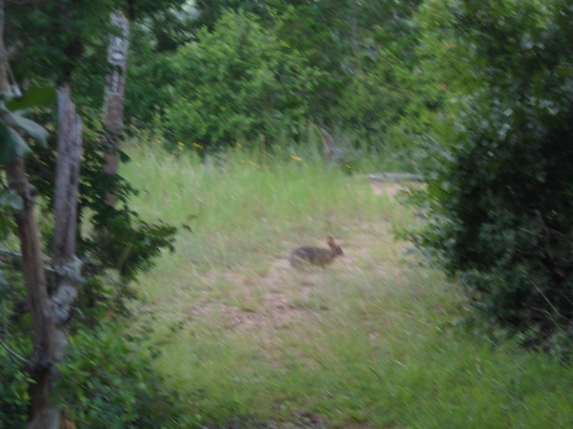
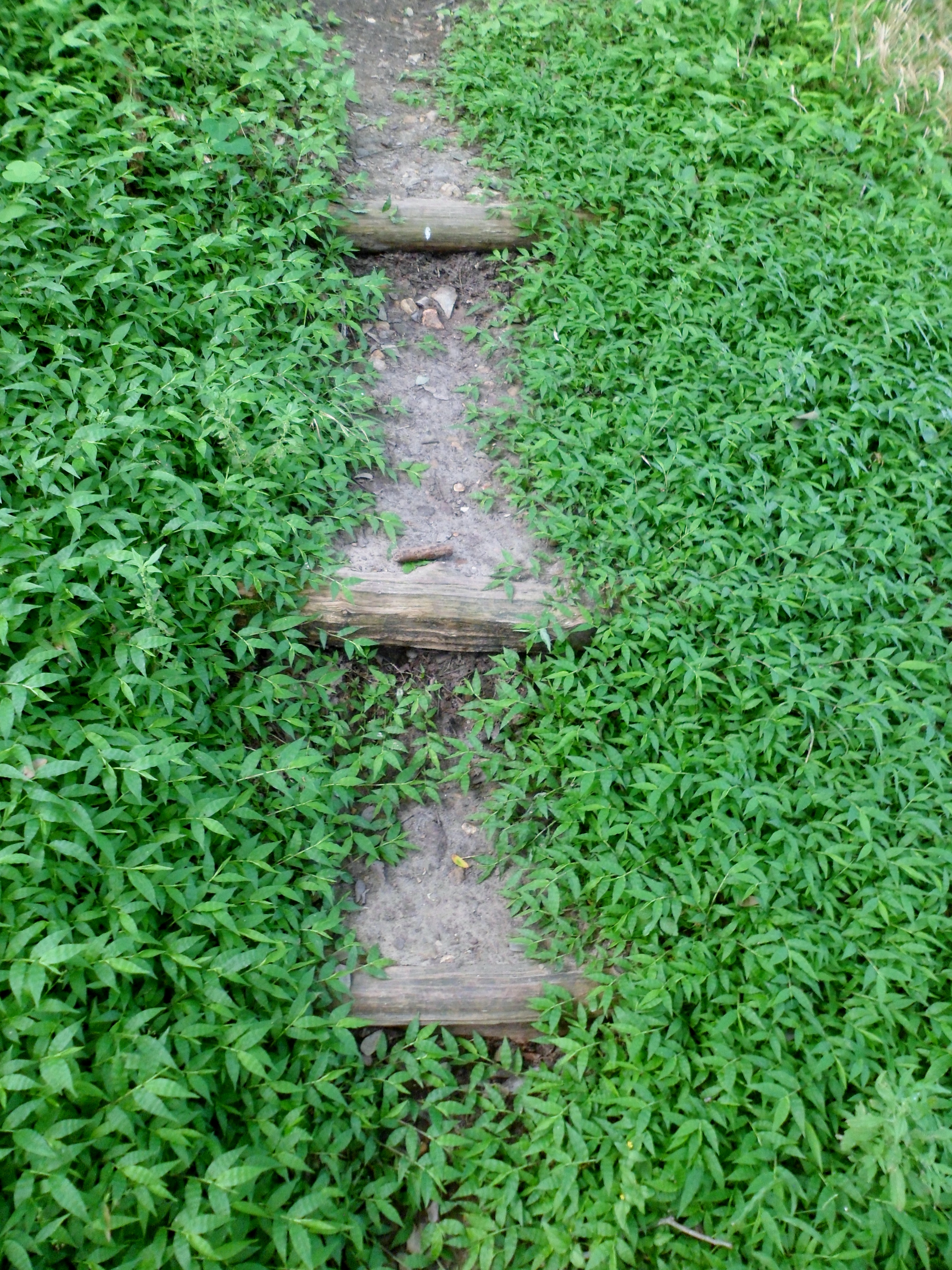
McKinney Roughs is just east of Austin near Wyldwood; just about a 20 minute drive. It is a parcel of land that hugs the south side of the Colorado River and is a great mix of terrain from rocky trails through hardwoods, to riverside mud, to sandy loam, to piney woods. The park also has a summer camp for kids and there is an obstacle course with a rock climbing wall and a ropes course.


We got out to the trail around 9am and started off through the woods. The spider webs were a constant nuisance throughout the day and a spider stick was a necessity to avoid a face full of web, though it still happened frequently. Walking through a spiderweb is one of my least favorite aspects of hiking, but I’m trying to train myself to not freak out when it happens.


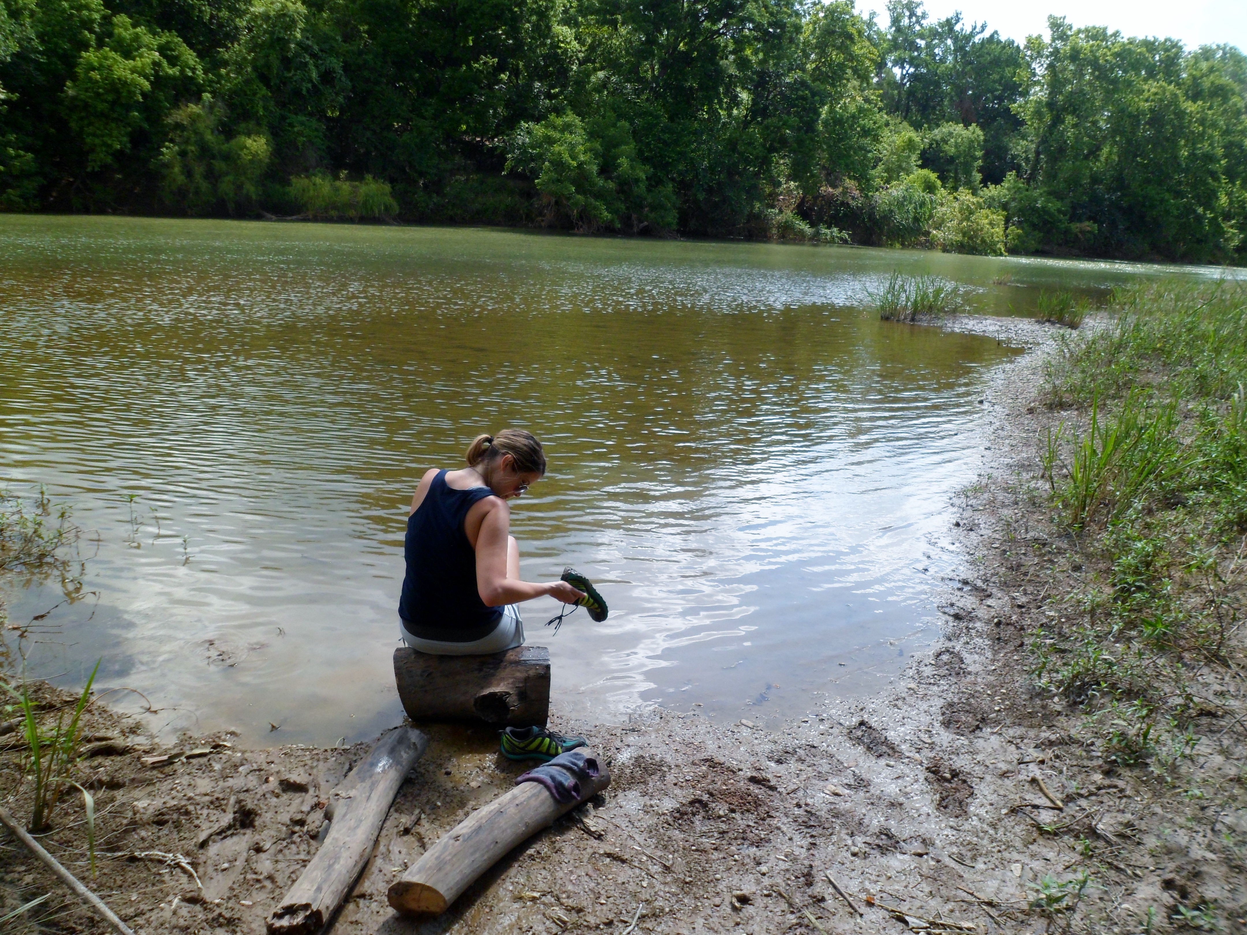
We descended down to the river and had a nice breakfast of cherries and breakfast tacos on the banks overlooking some small rapids. At another point on the river, the mud was very thick and Court actually sunk in past her ankle and got her shoe stuck. Thankfully her gaiters stayed connected so she was able to pull it out and then wash her shoe off in the river.
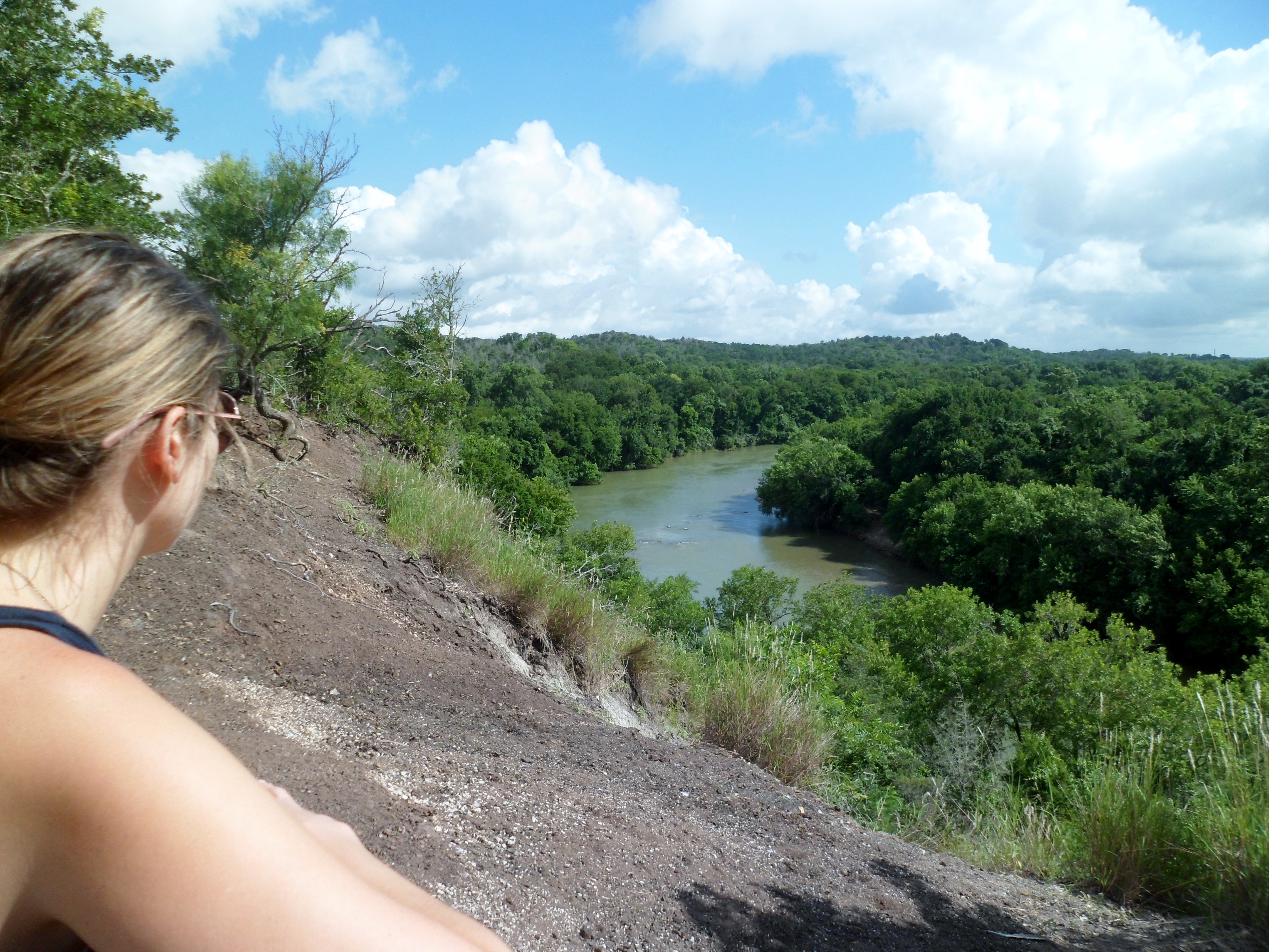


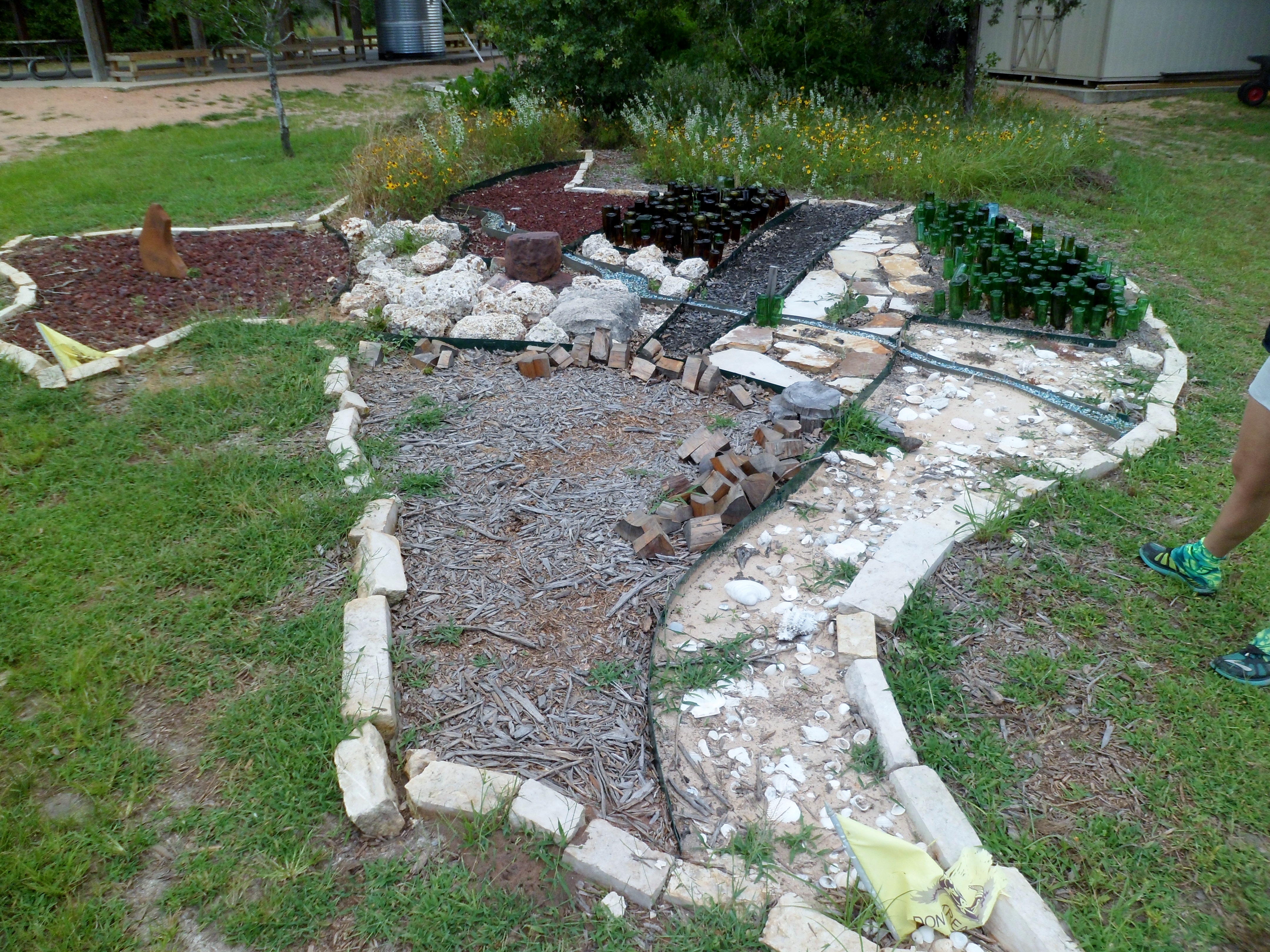
We climbed back up from the river over a ridge, down a valley, and then back up to one of the highest points in the park, the Pine Ridge Plateau. The view was gorgeous. From here, we stayed on the high ground and wound through the pines back to the park headquarters, passing the ropes course on the way. There was also a cool map of Texas on the ground made out of natural materials and glass bottles that I’m guessing the campers made. Green bottles for the piney woods in East Texas, seashells and sand on the coast, and the Colorado River running through the middle.


There are still plenty of trails to be explored in this park and we will certainly be back for more soon. The Lower Colorado River Authority runs this park and does a phenomenal job maintaining the trails and providing educational material and activities for kids. Well done LCRA.

One Comment on “McKinney Roughs 6/12/15”
Leave a comment
Recent Comments
| Ian on Cotswolds Day 5 – Moreto… | |
| Dena on Cotswolds Day 5 – Moreto… |

Pingback: McKinney Roughs – 2/11/17 | Pierce Wanderings