Pierce Wanderings
Texas Hiking (and elsewhere)
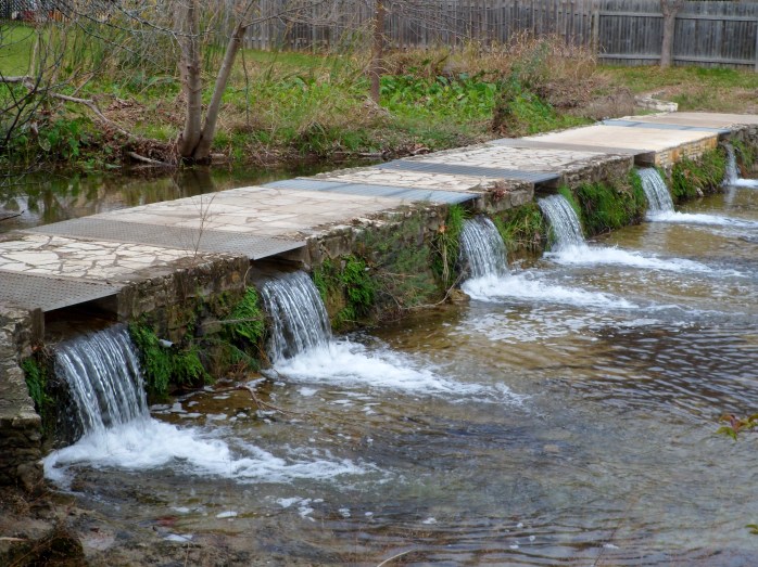
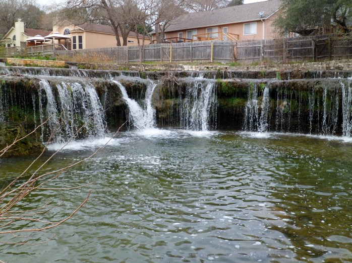
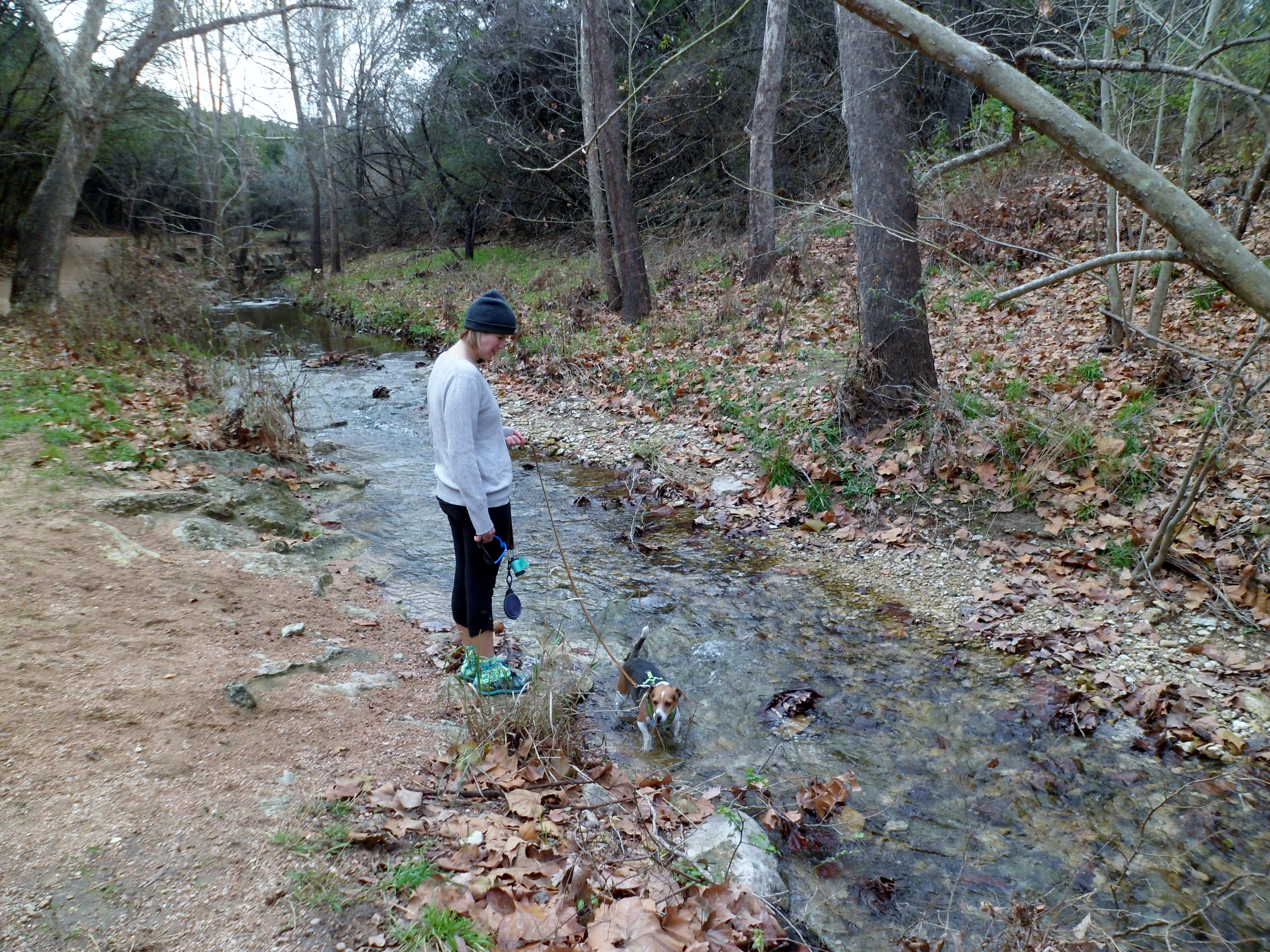
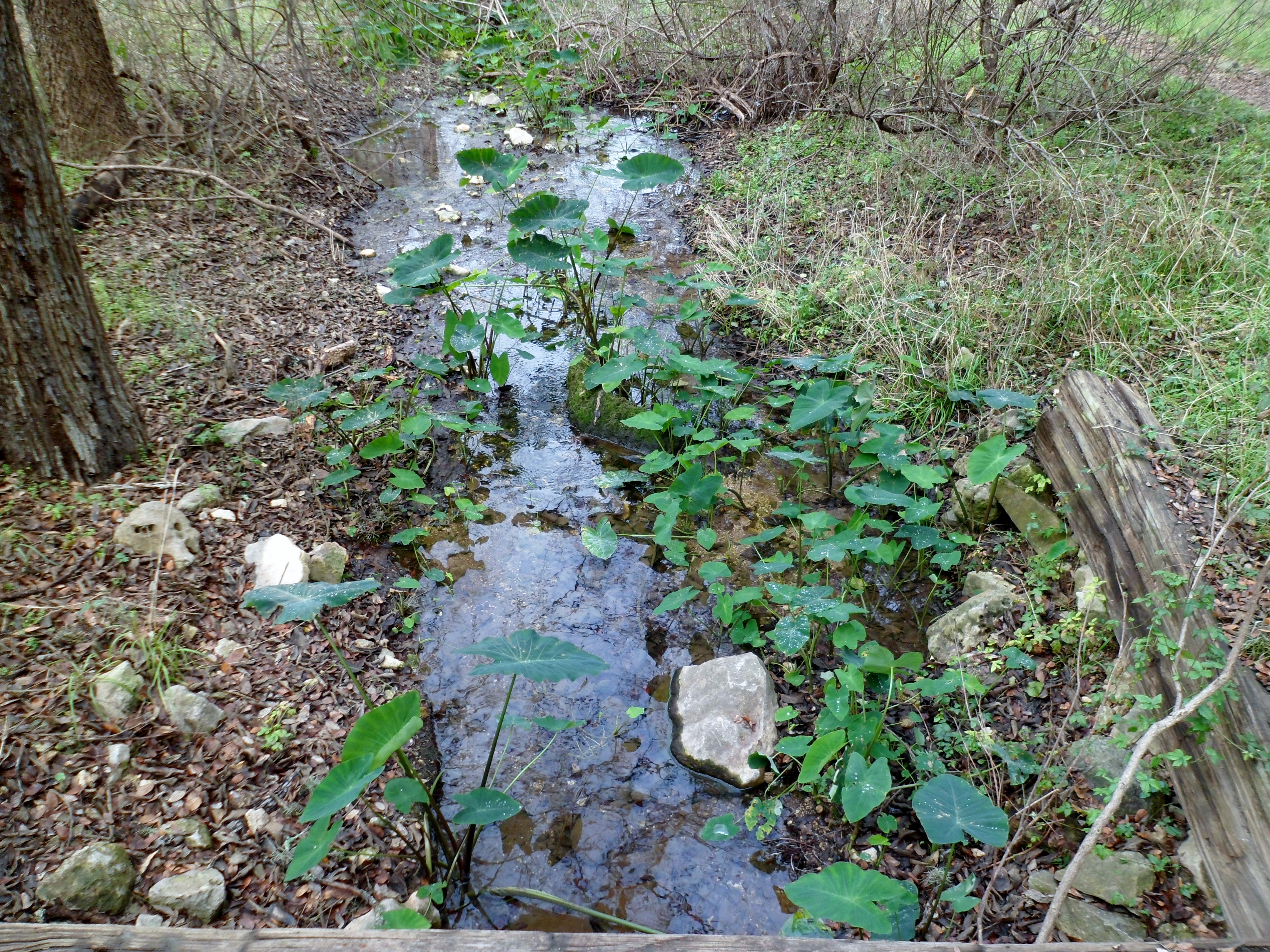
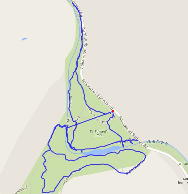
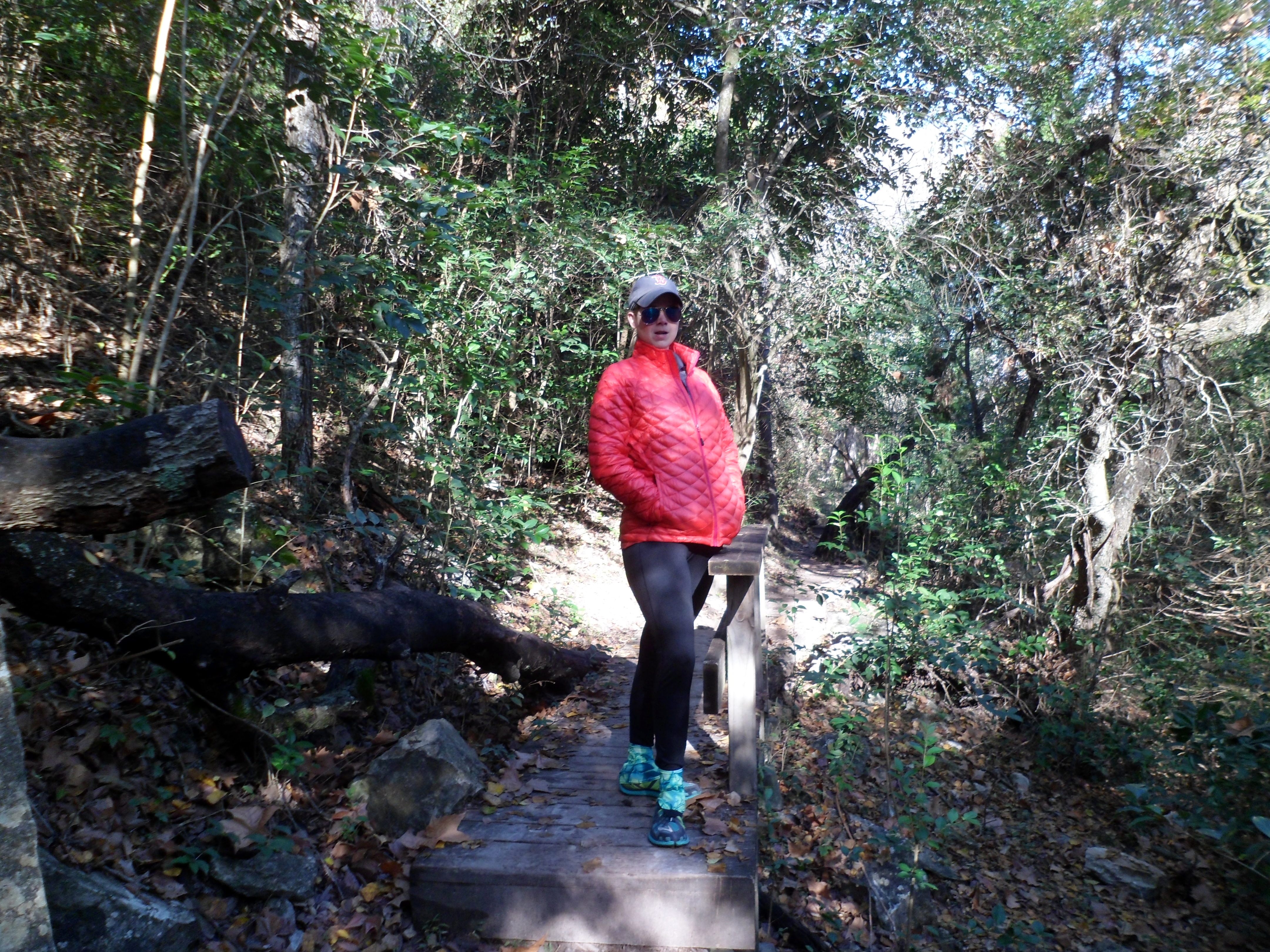
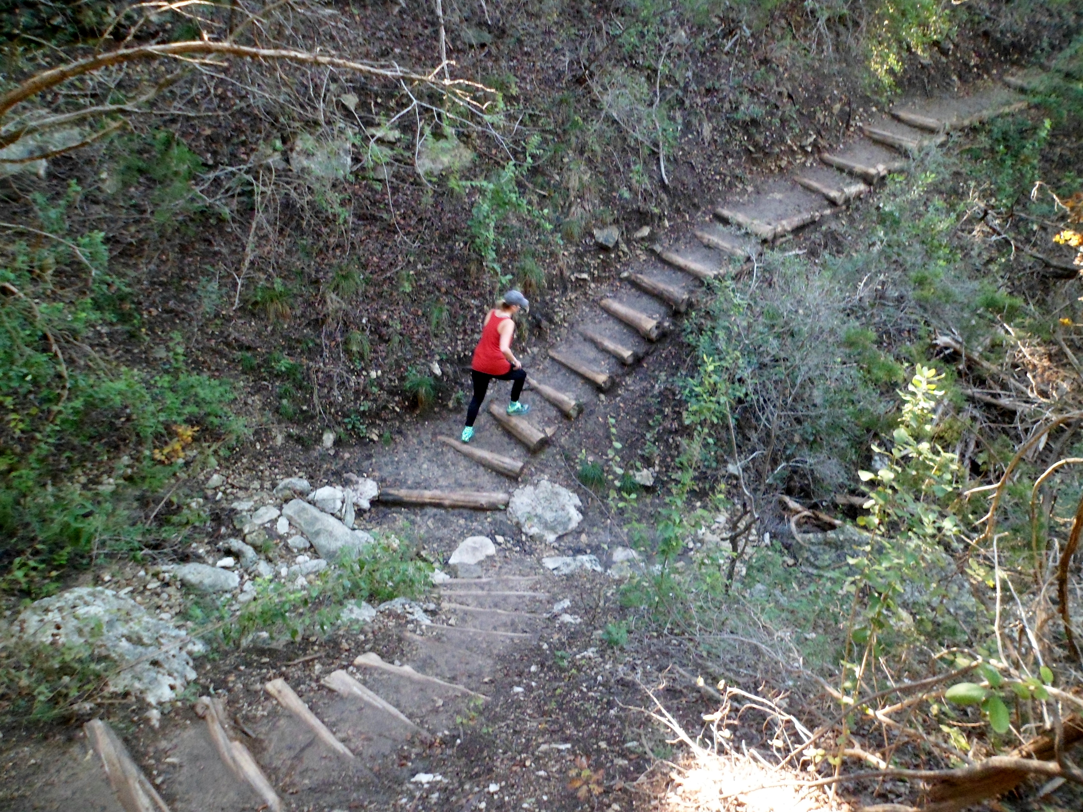
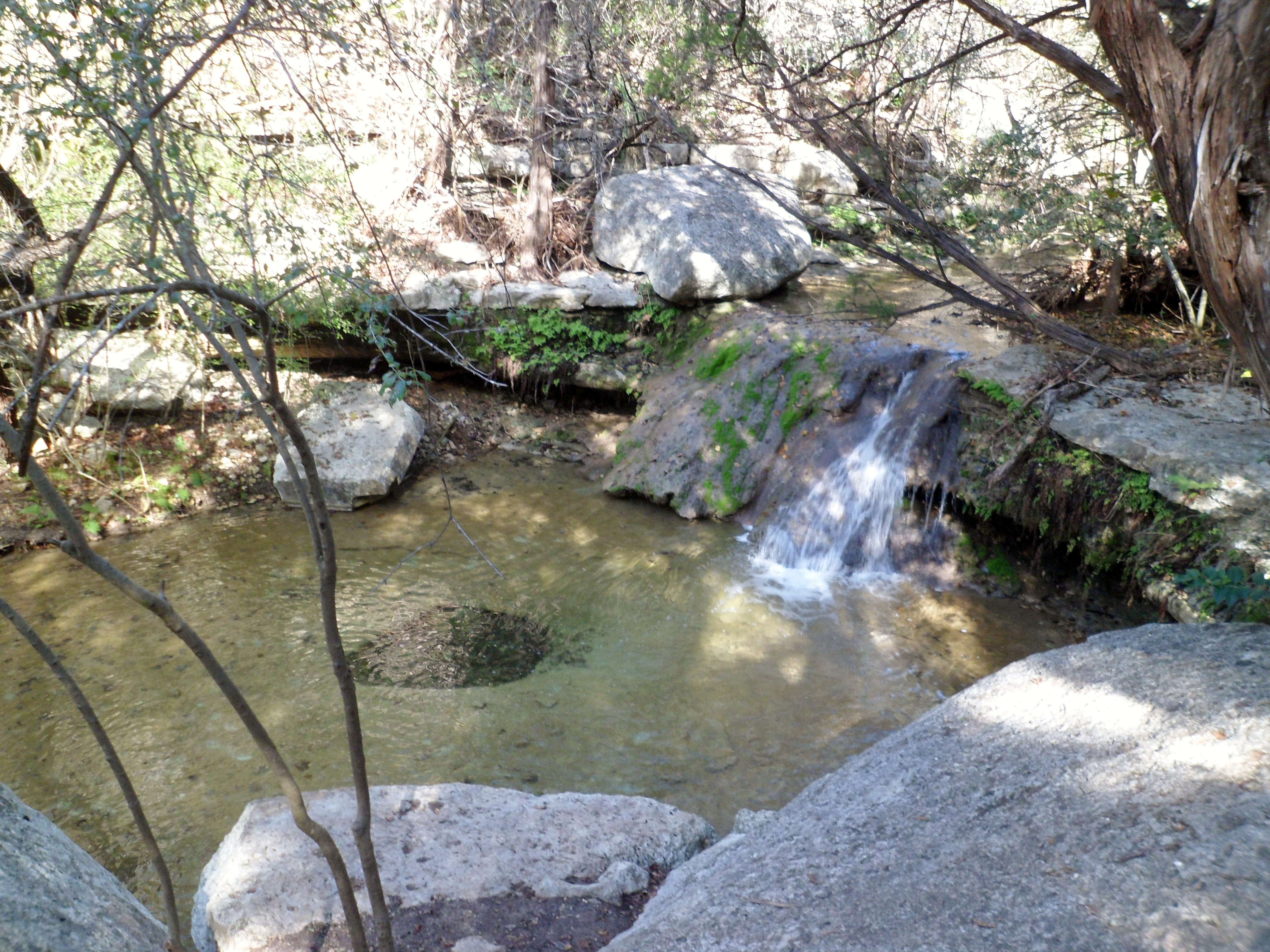
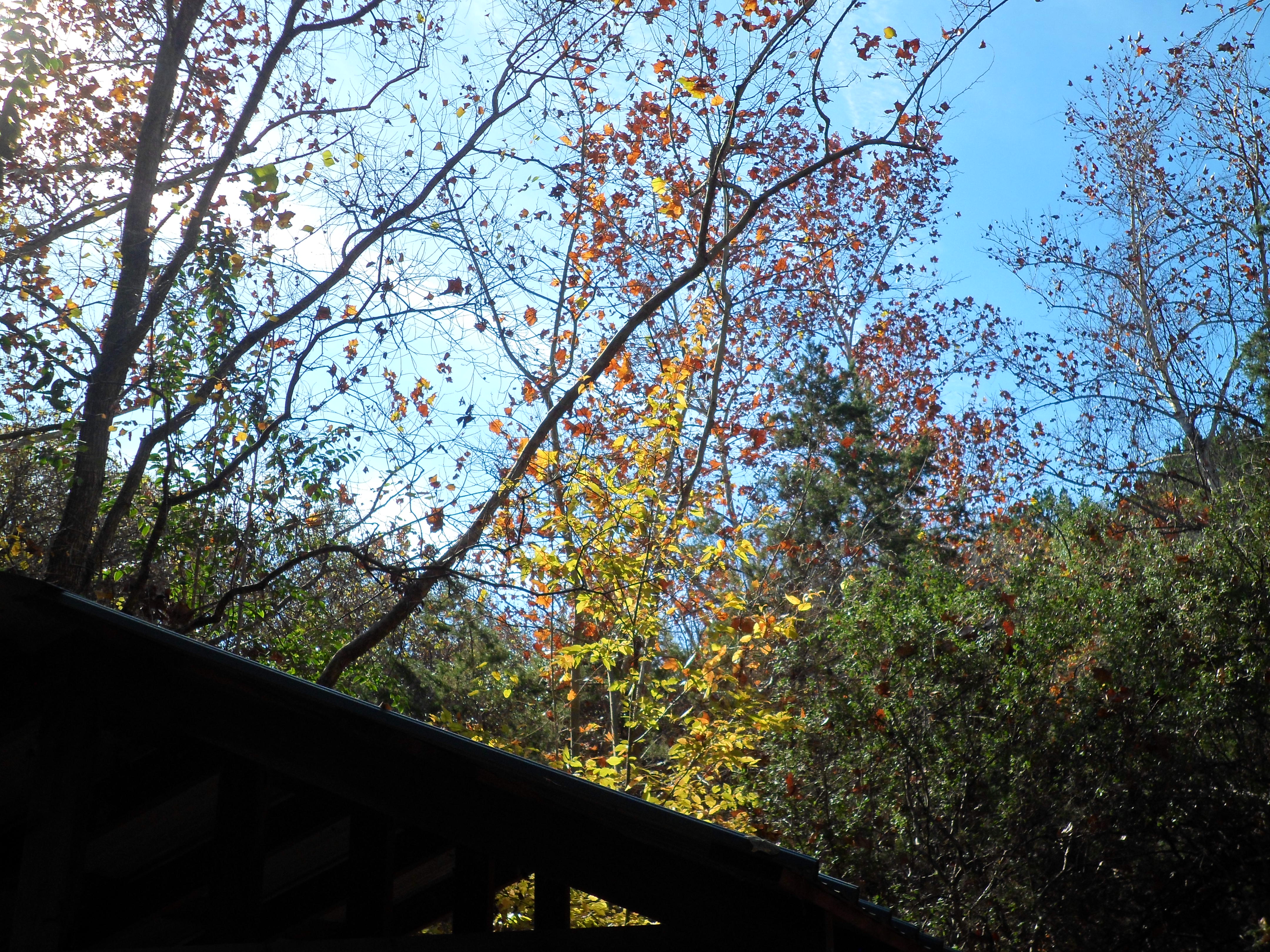
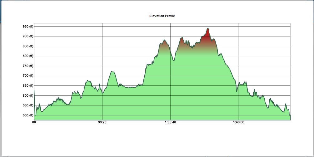
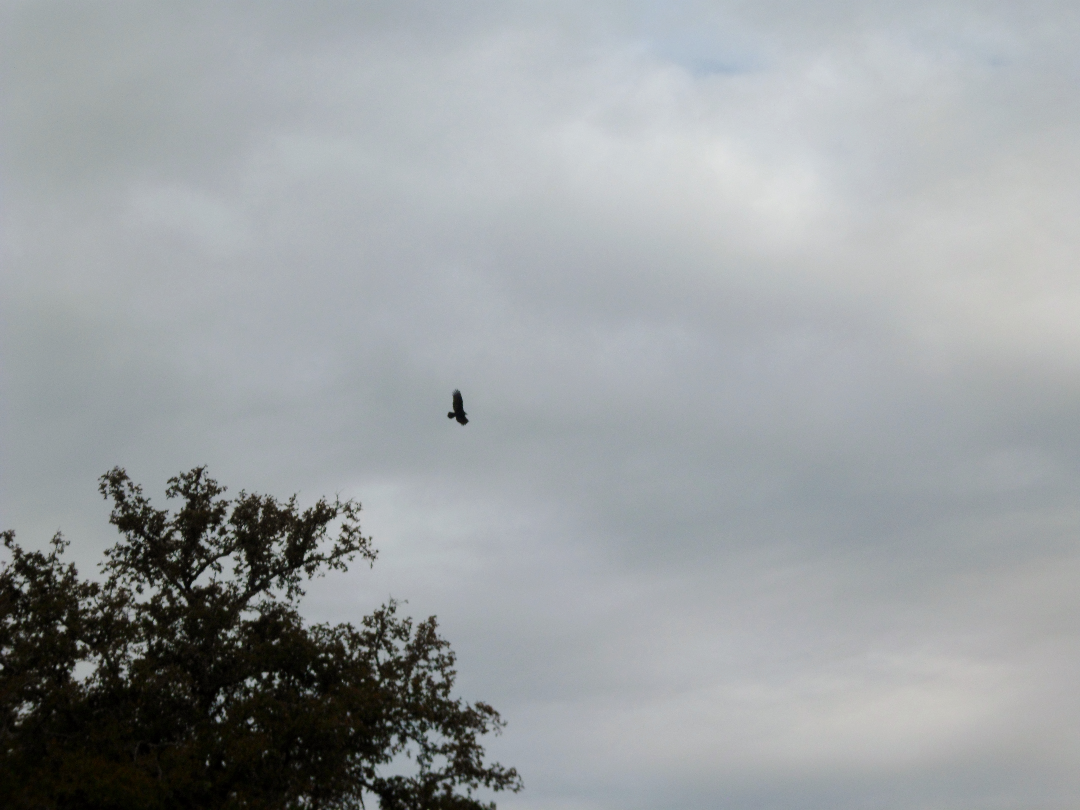
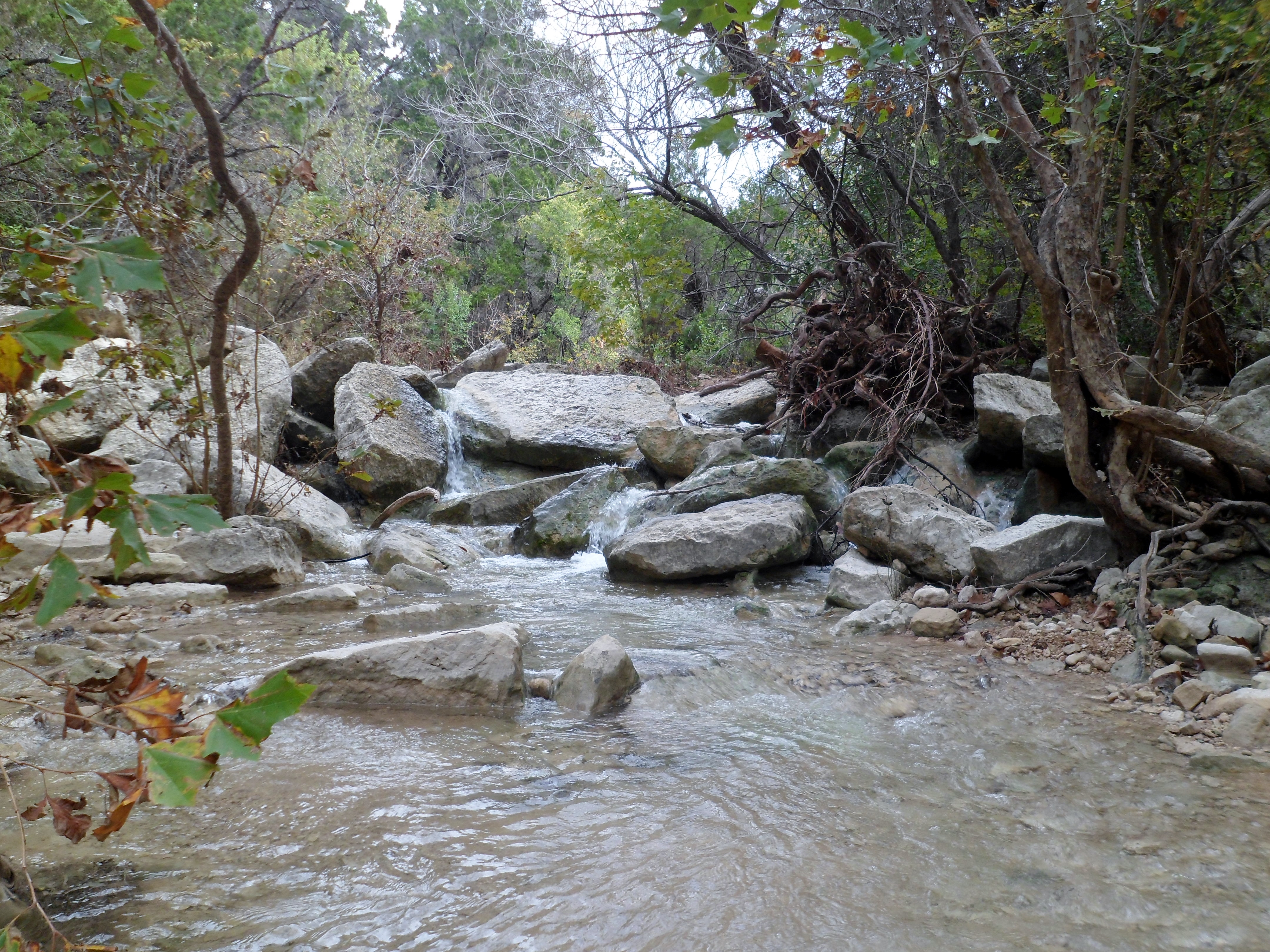
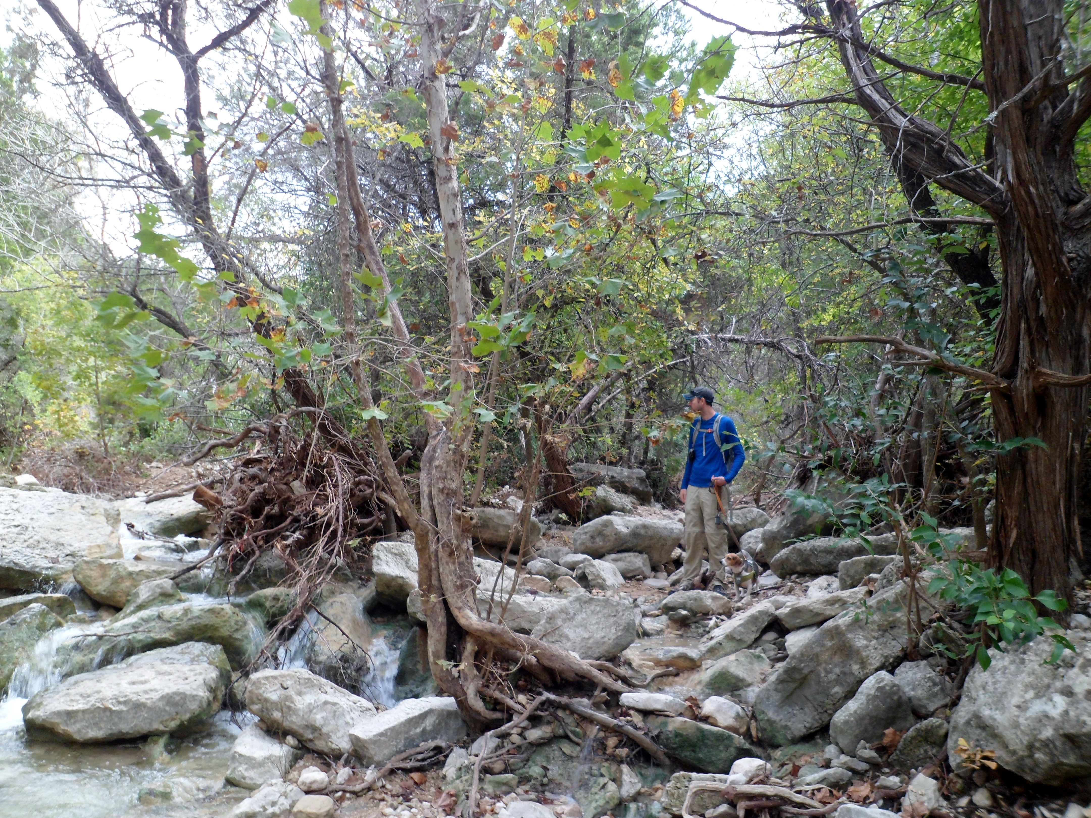
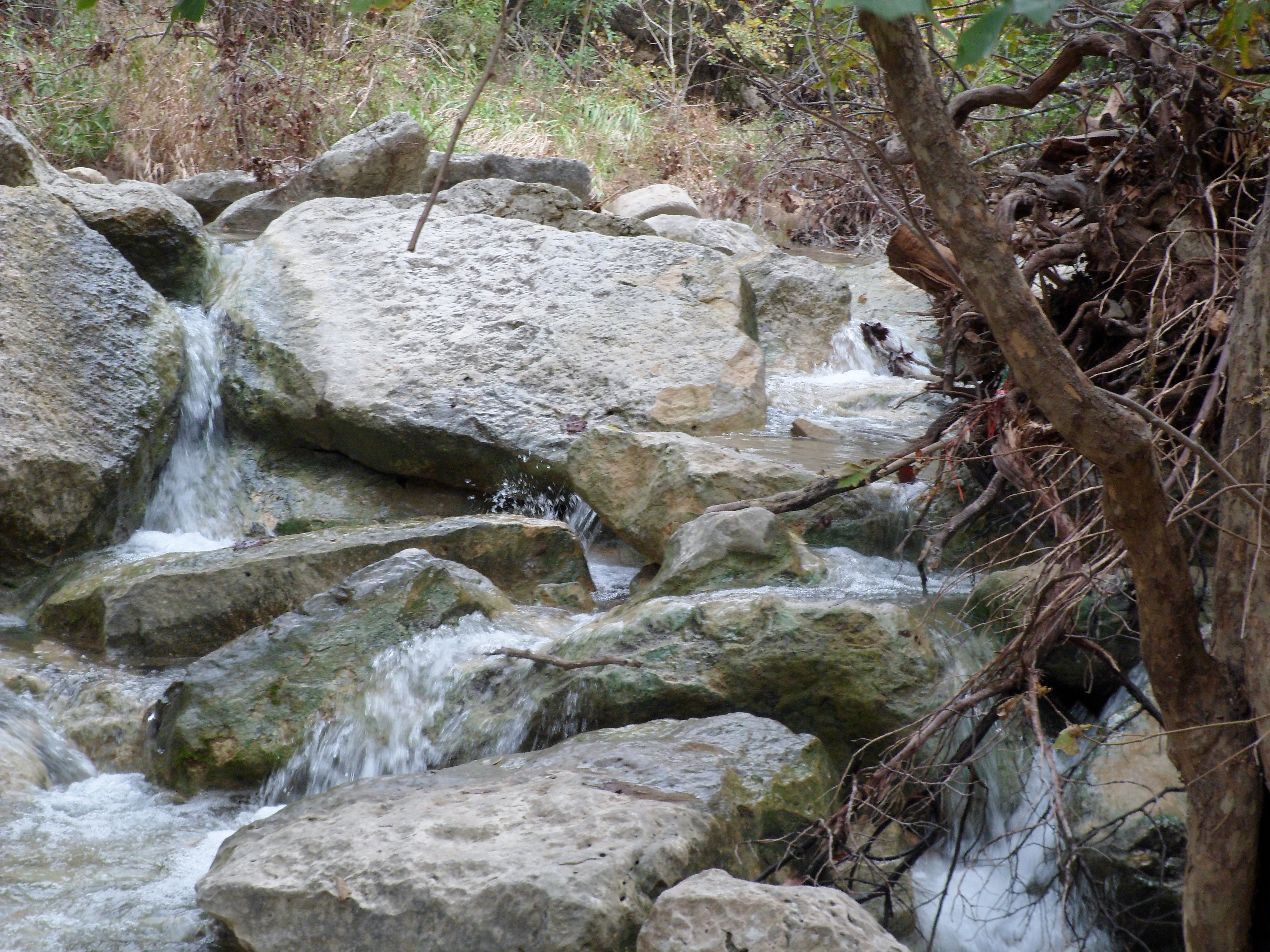
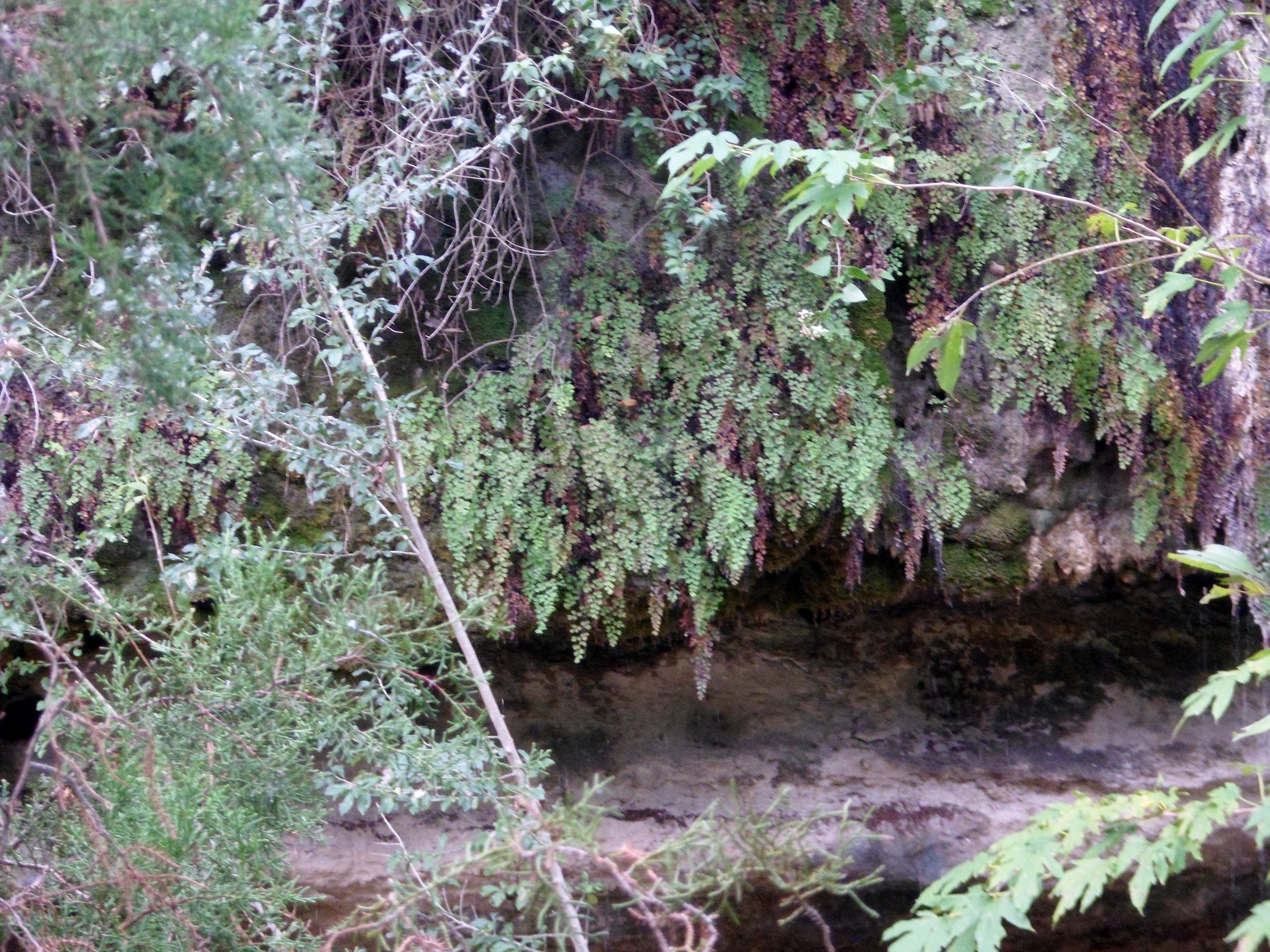
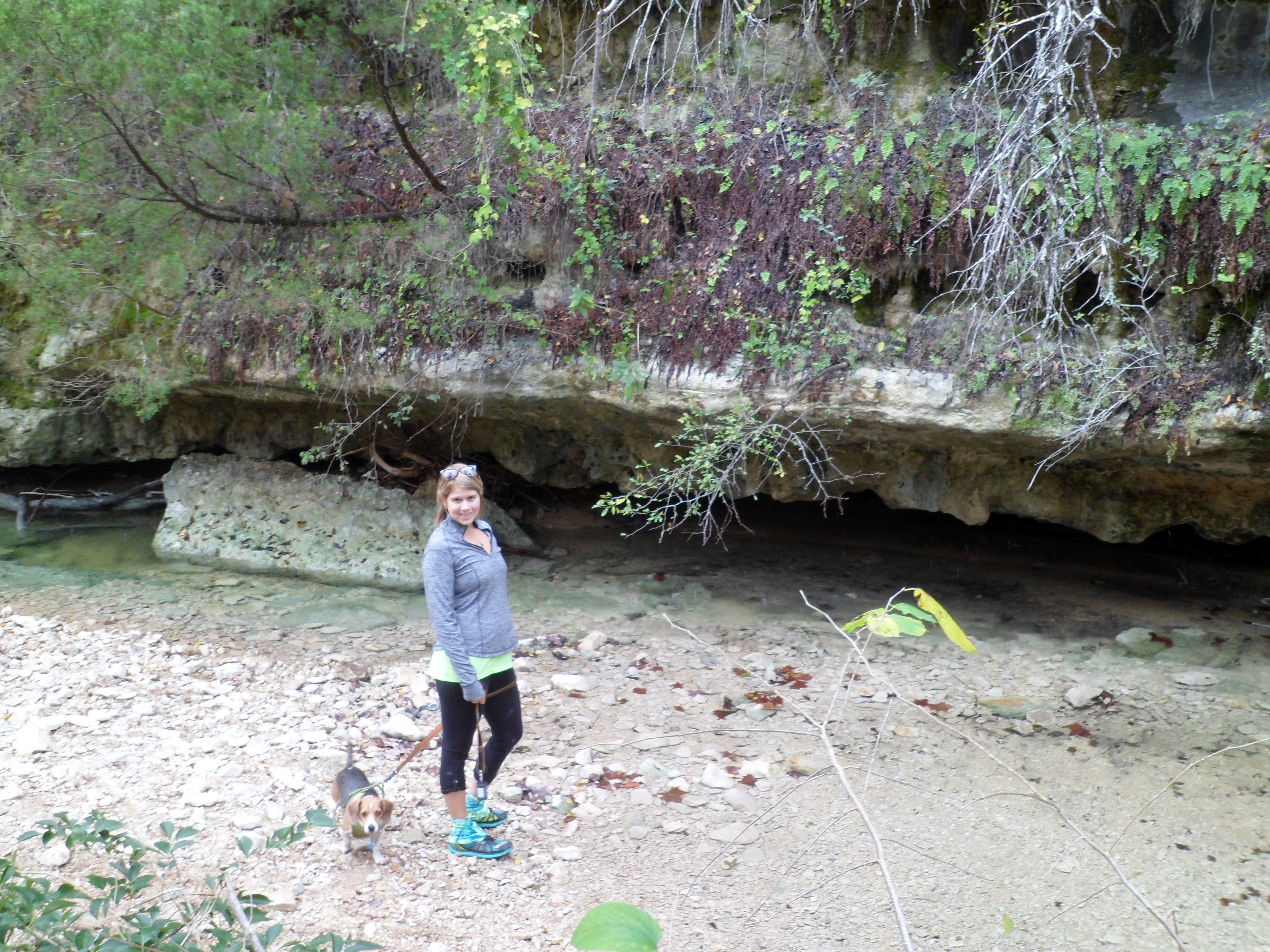
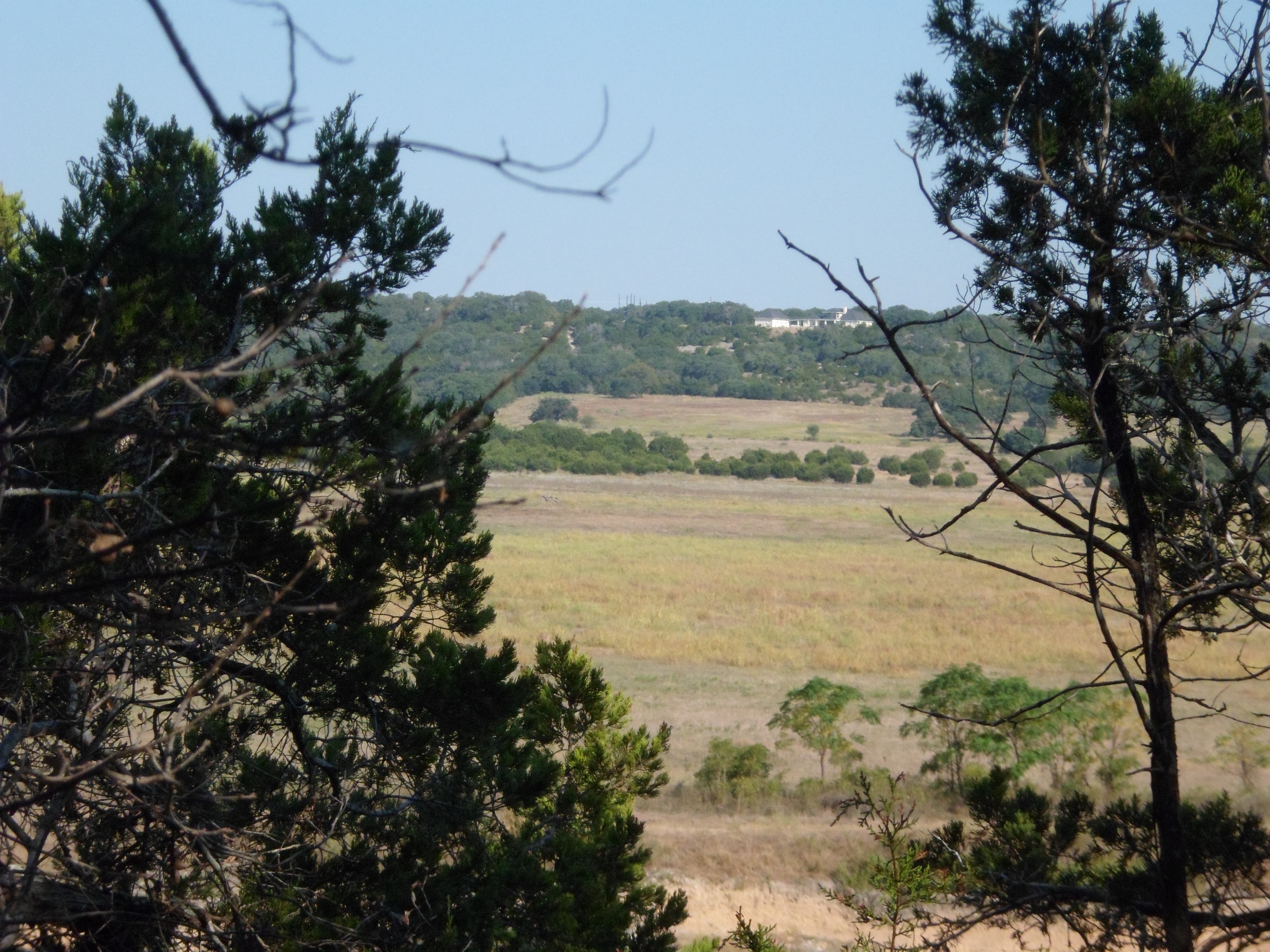
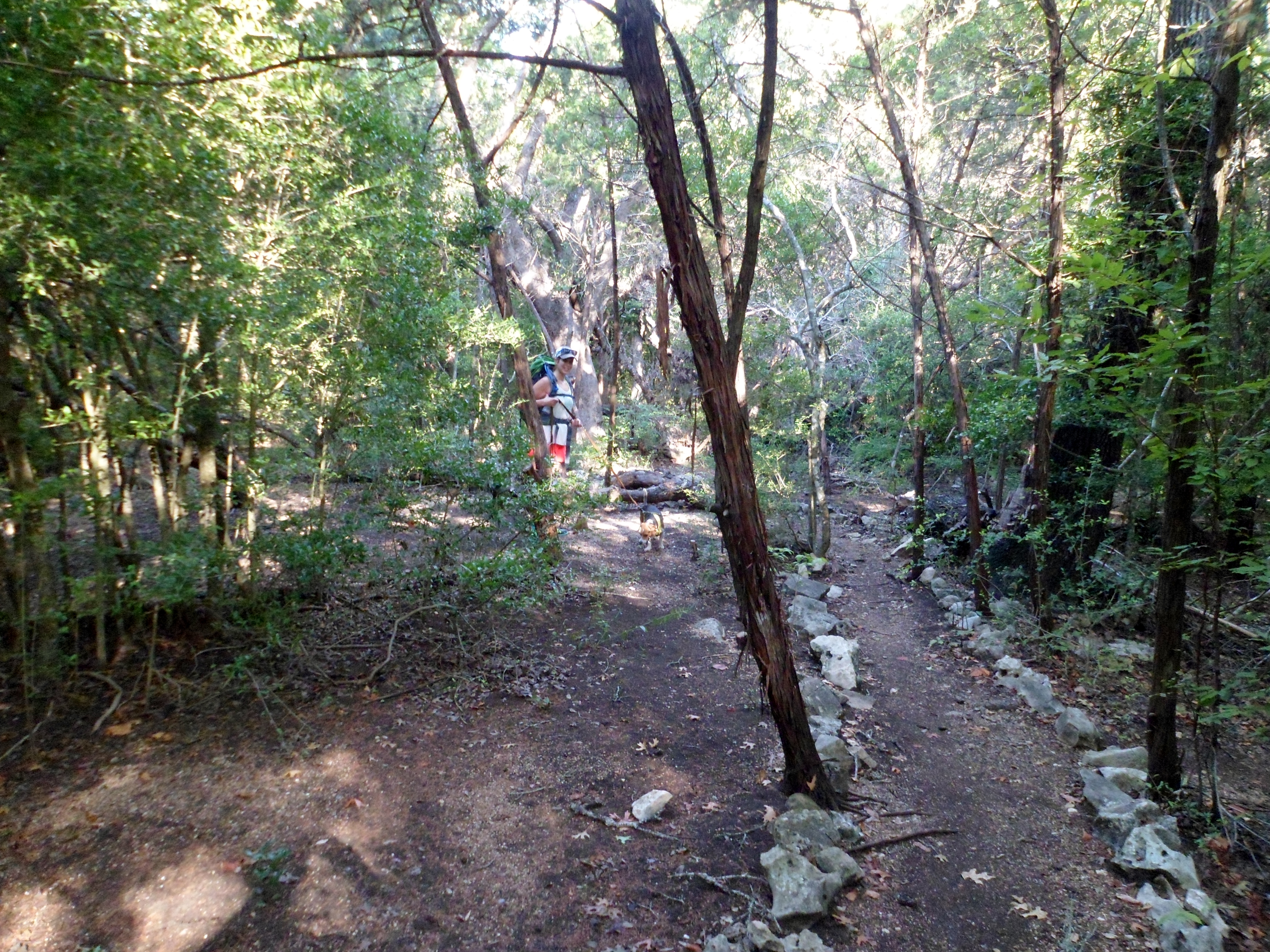
Hamilton Greenbelt – Lakeway 1/3/16
Sunday, January 3, 2016
Hike: Hamilton Greenbelt – Lakeway, TX
Weather: chilly, clear, mid 40s
Hikers: Ian, Court, Biff
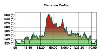
Length: 4.2 miles
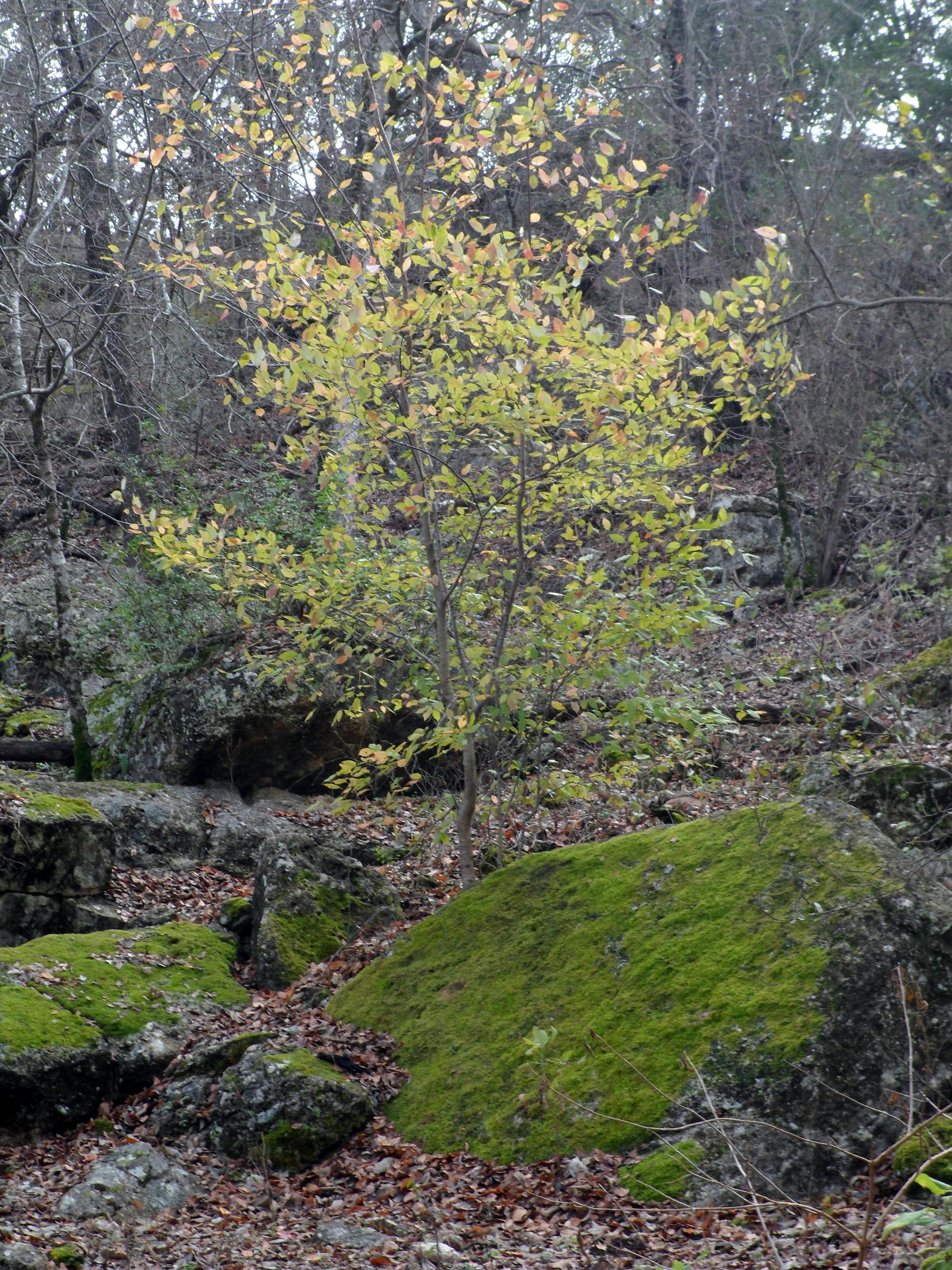
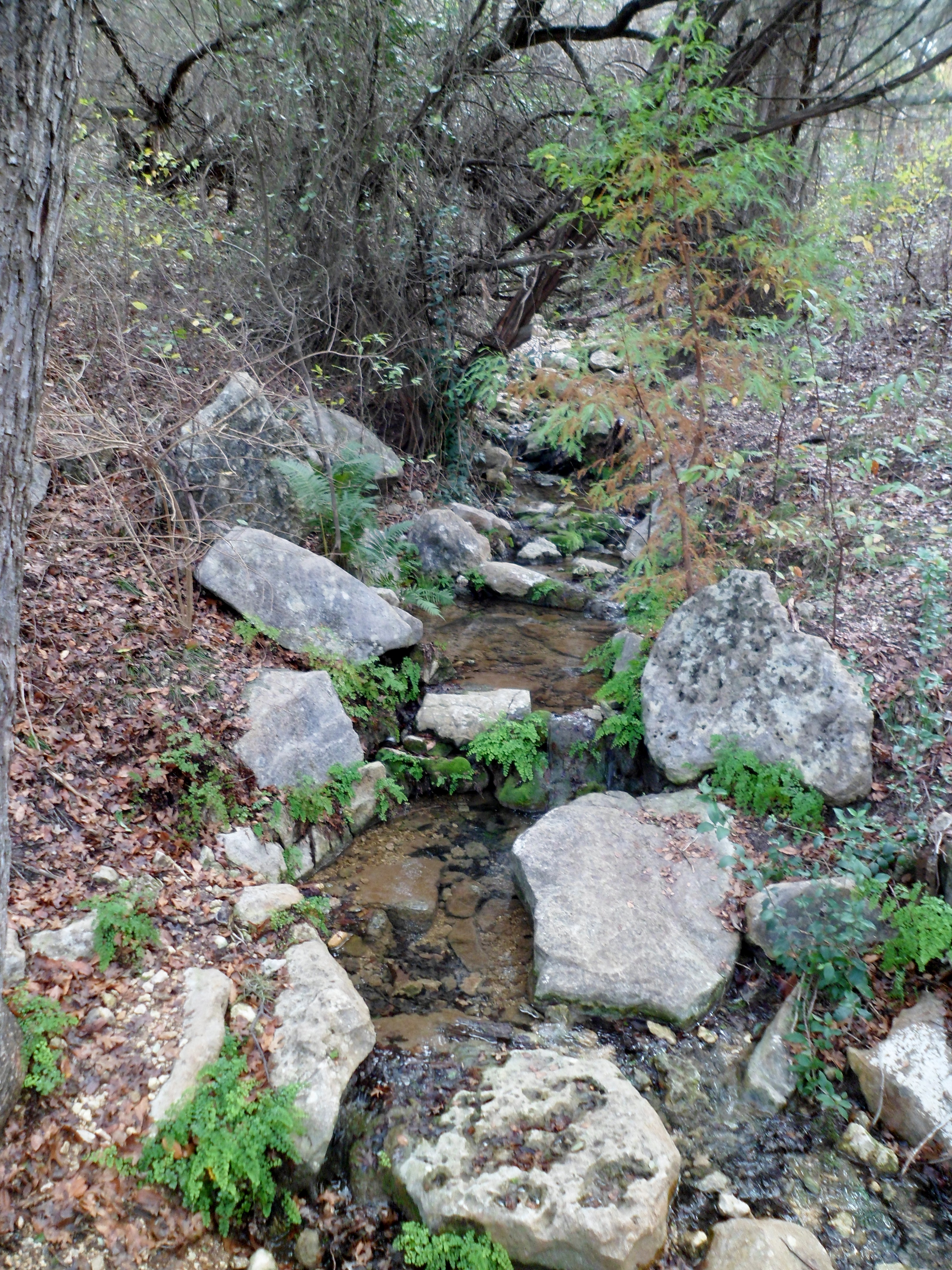
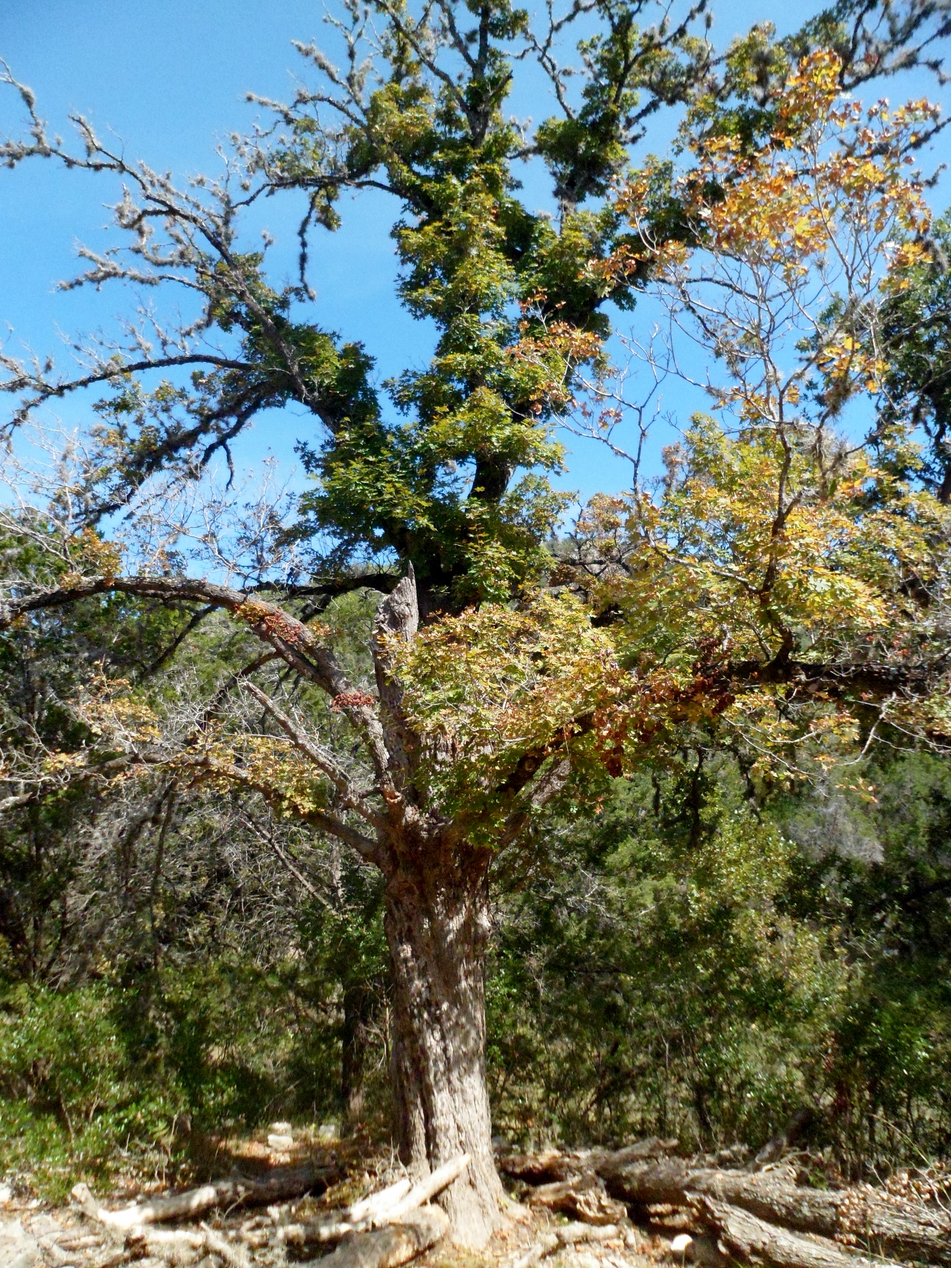
For the first hike of the year, we decided to finish the Hamilton Greenbelt trail we had done most of this past summer. This is a nice little trail hidden back in Lakeway, near Lake Travis.
The morning was chilly, probably in the upper 30s, but we quickly warmed up. The waterfalls were pretty and flowing well. Again, this trail starts with a wide, well-groomed, crushed granite trail, but turns into a regular dirt hiking trail twisting through the woods as you get farther in.

We finished up the last part of the loop that we had not gotten to the last time out, adding another couple of miles. The leaves covering the trail and the colder temperatures gave the trail a completely different feel, almost what I would expect the Appalachian Trail to be like in parts.


We got to the end of the trail, nearest the lake, and headed back. It is not a difficult trail by any means, but definitely a pretty hike and one that I don’t think many people in the Austin area are aware exists.


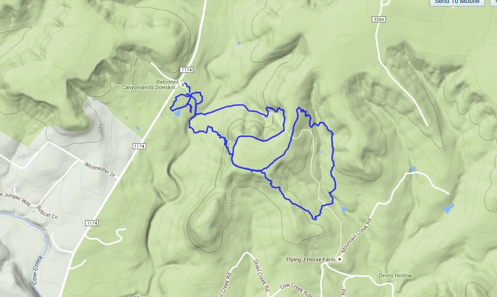
Balcones Canyonlands NWR – Doeskin Ranch 12/18/15
Friday, December 18, 2015
Hike: Balcones Canyonlands National Wildlife Refuge – Doeskin Ranch, NW of Austin, TX
Weather: clear, cold, low 40s
Hikers: Ian
Length: 4.53 miles
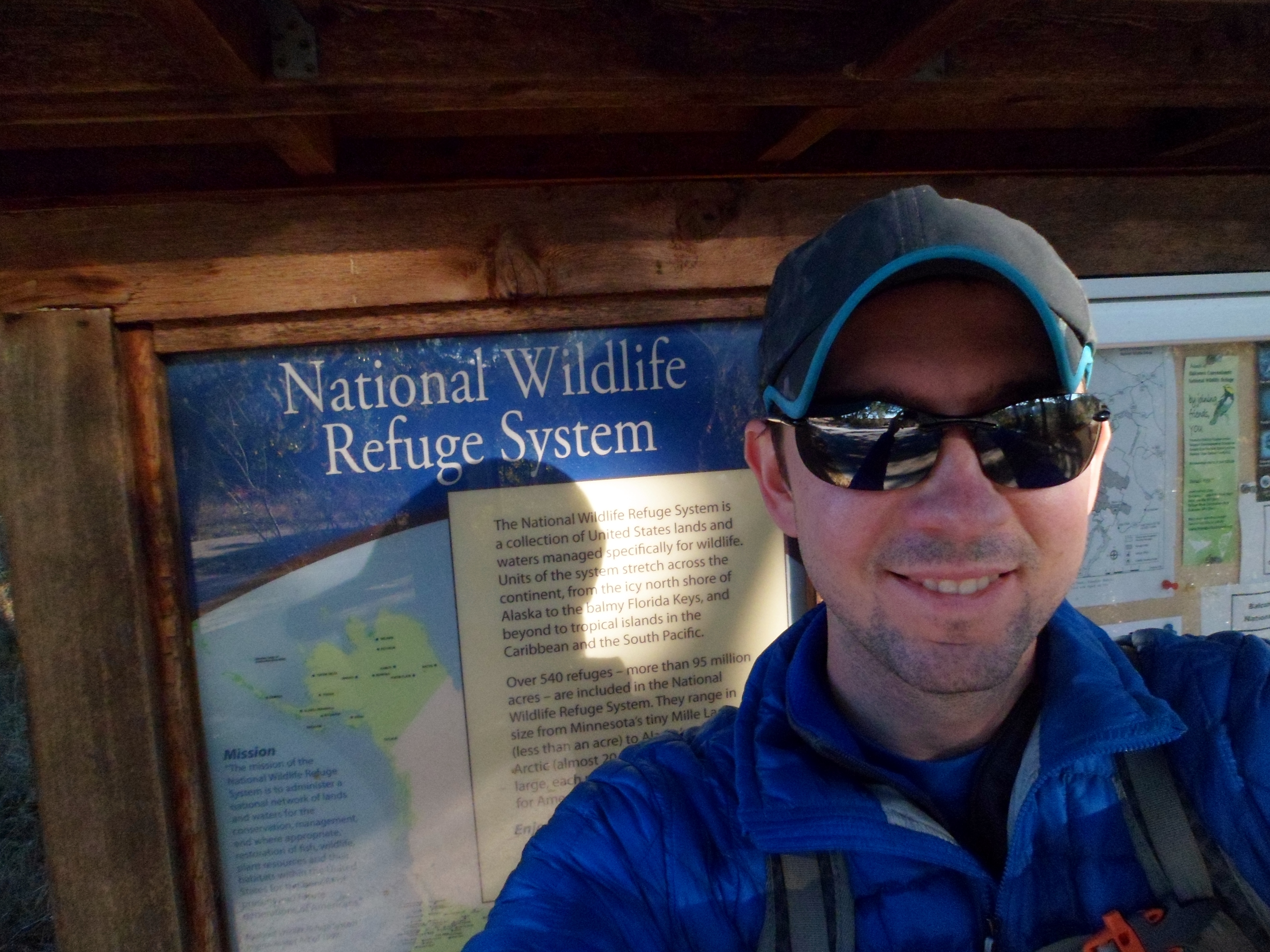
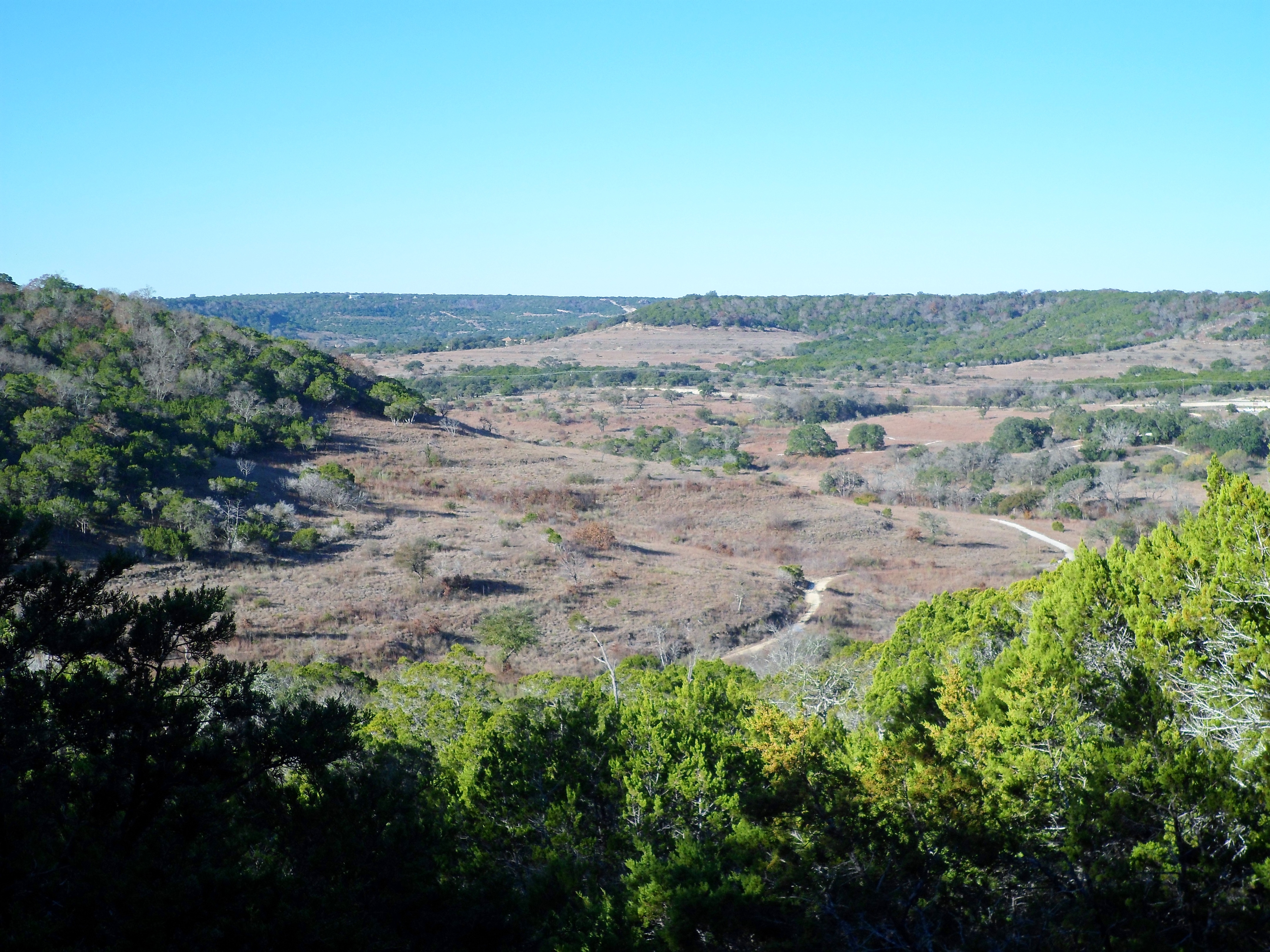
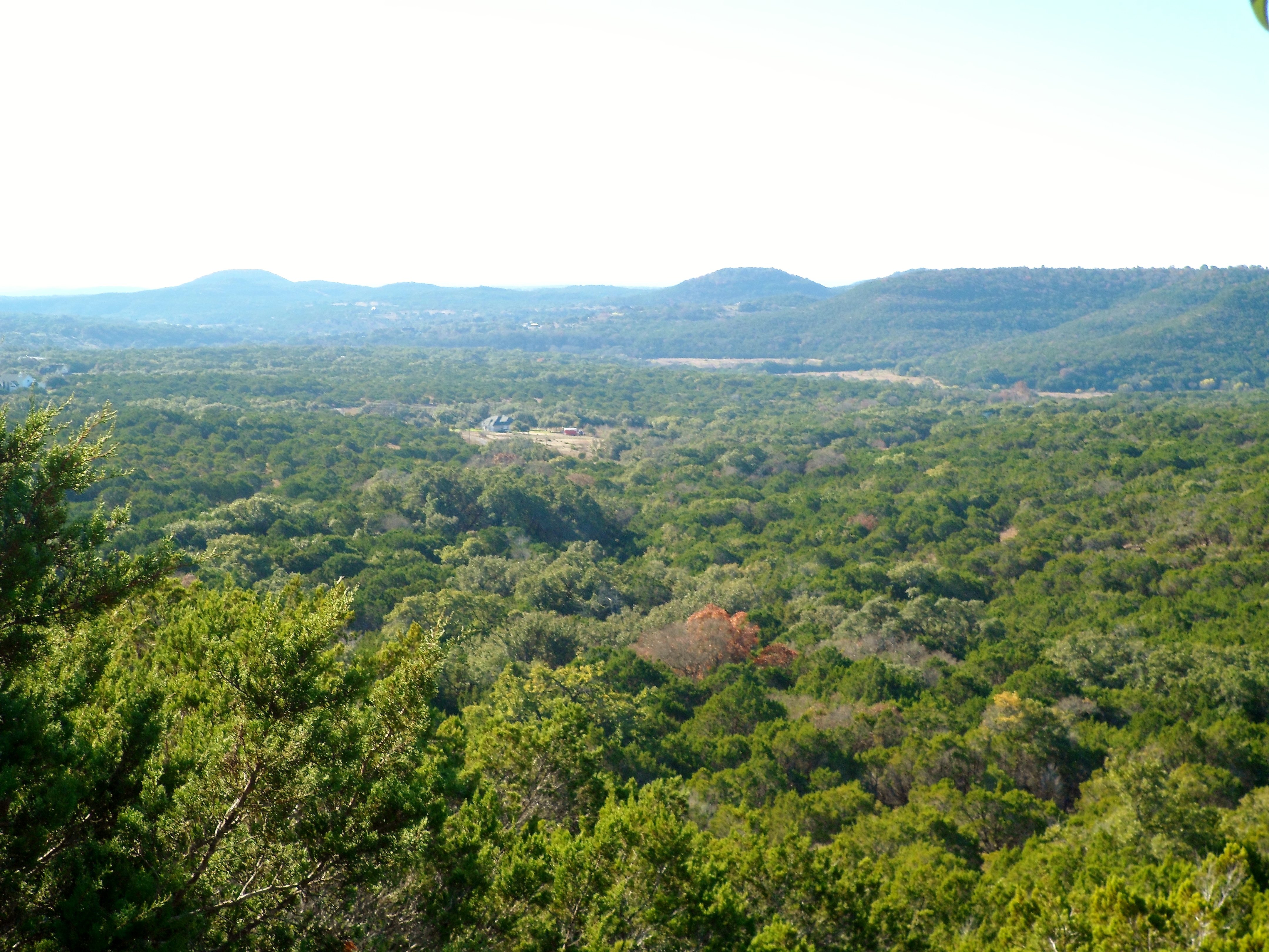
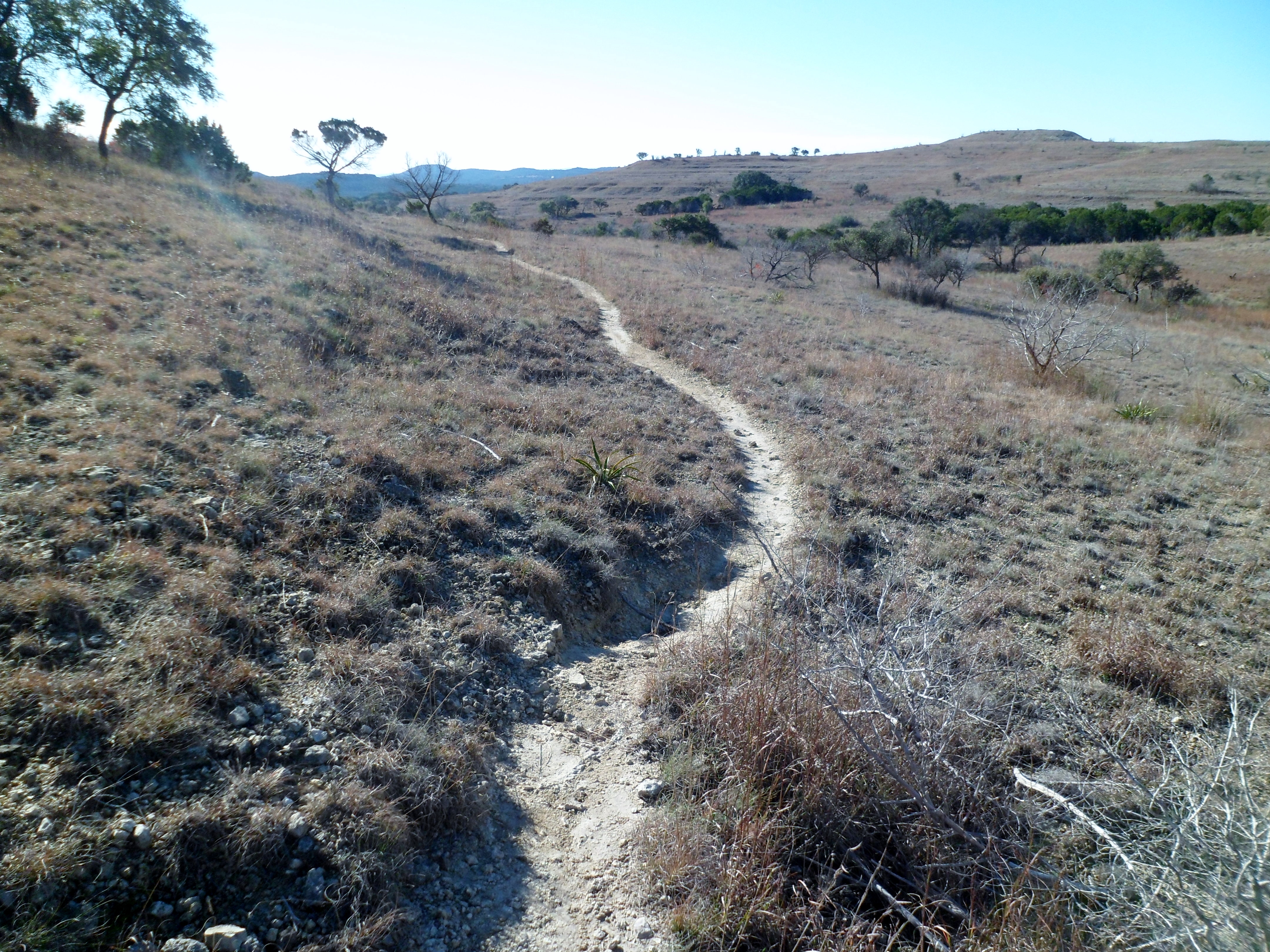
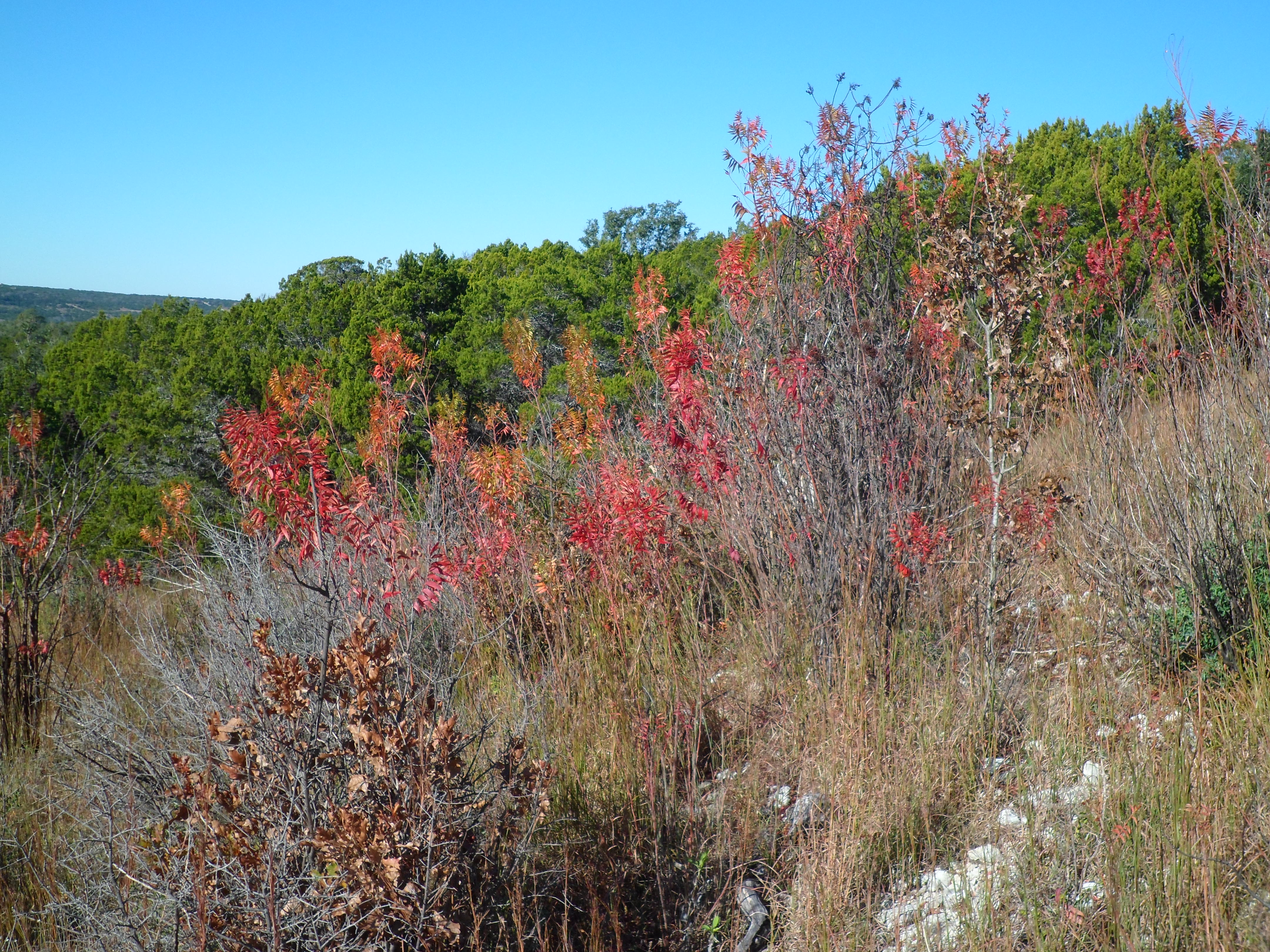
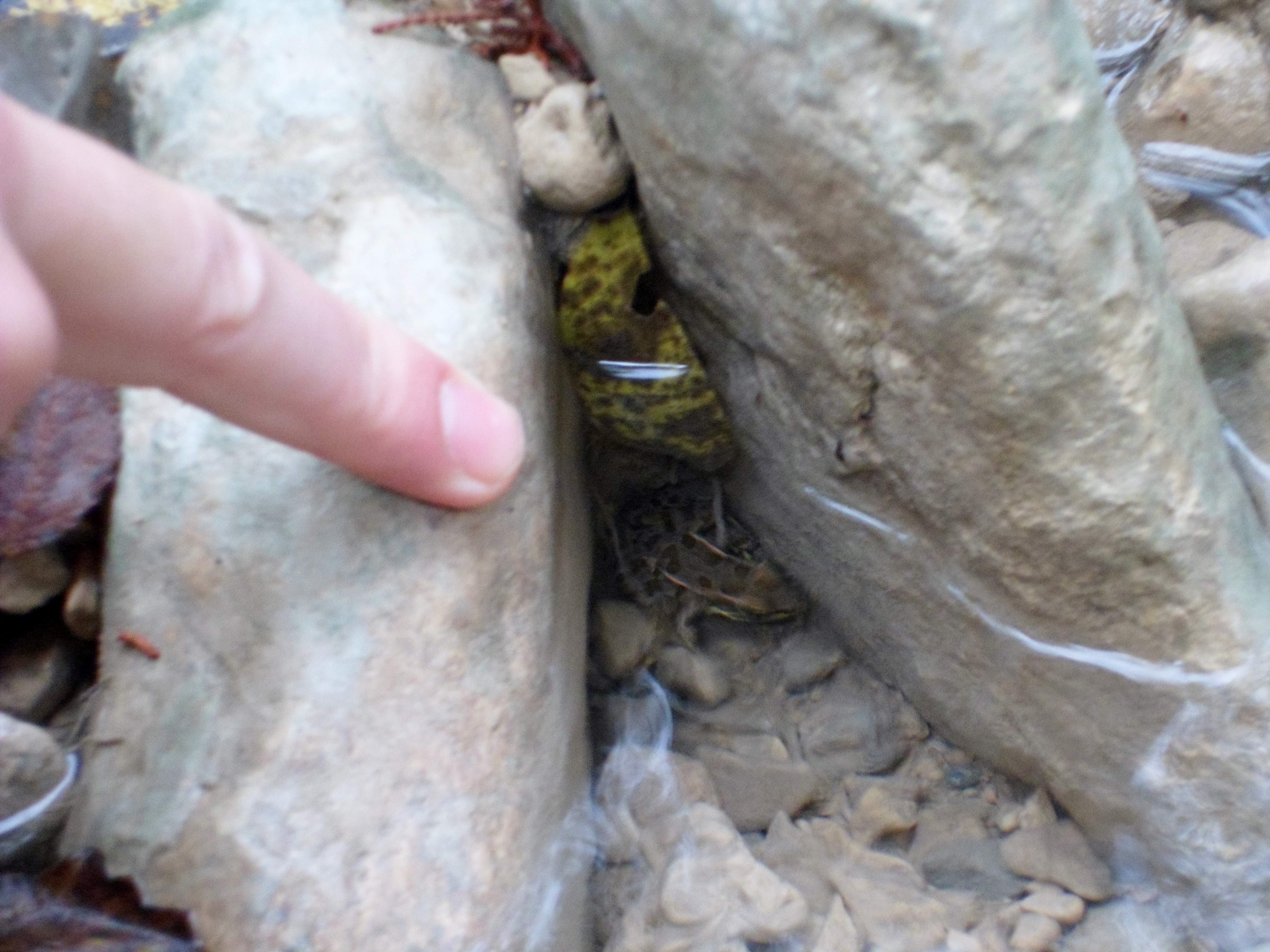
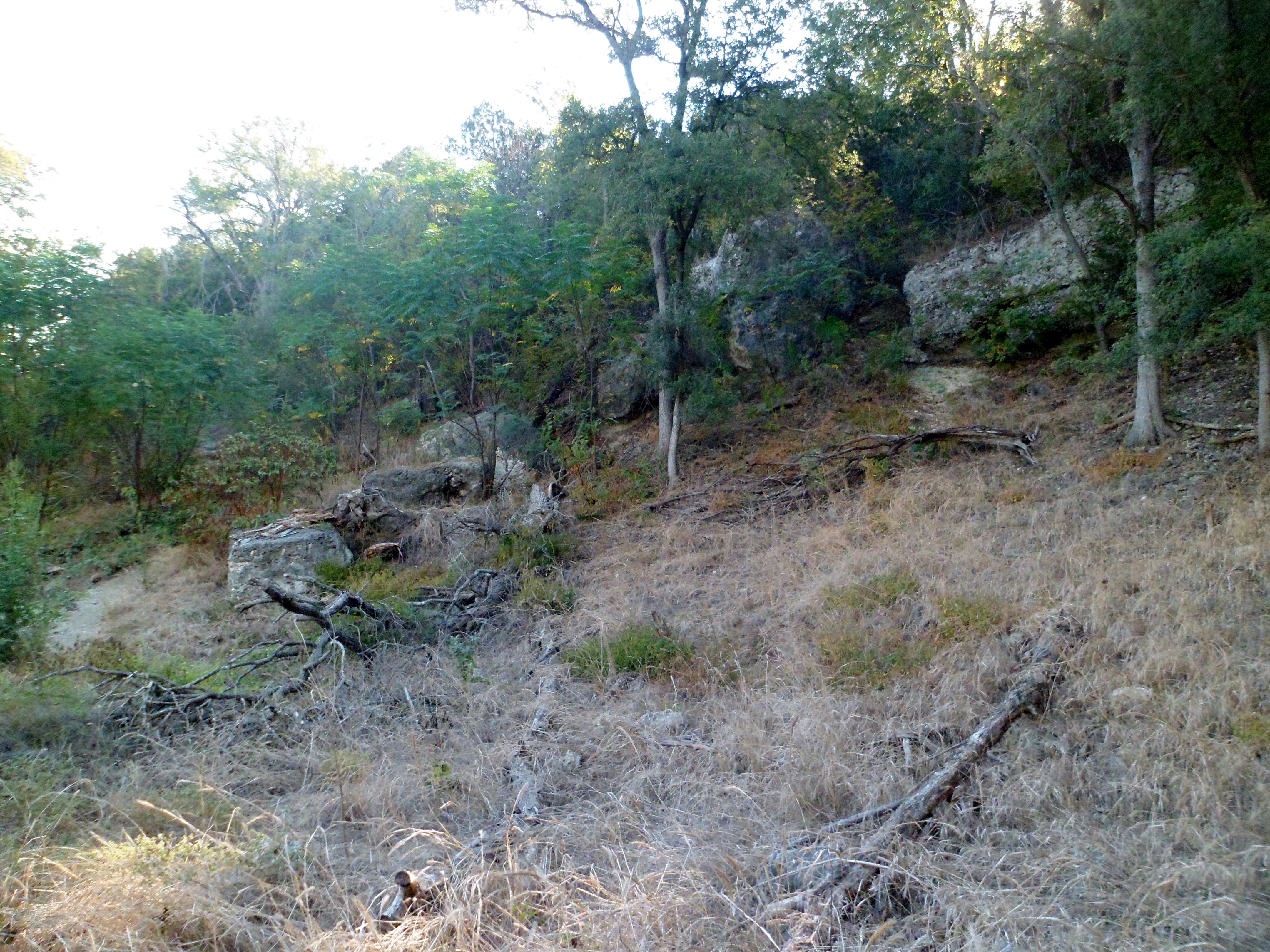
I drove out to Doeskin Ranch on a solo hike in the Balcones Canyonlands National Wildlife Refuge. I had done this hike once before in October of 2014. It is a nice hike with some decent elevation changes and a nice change of scenery from some of the other Central Texas hikes. The drive to the trail head is just over an hour.
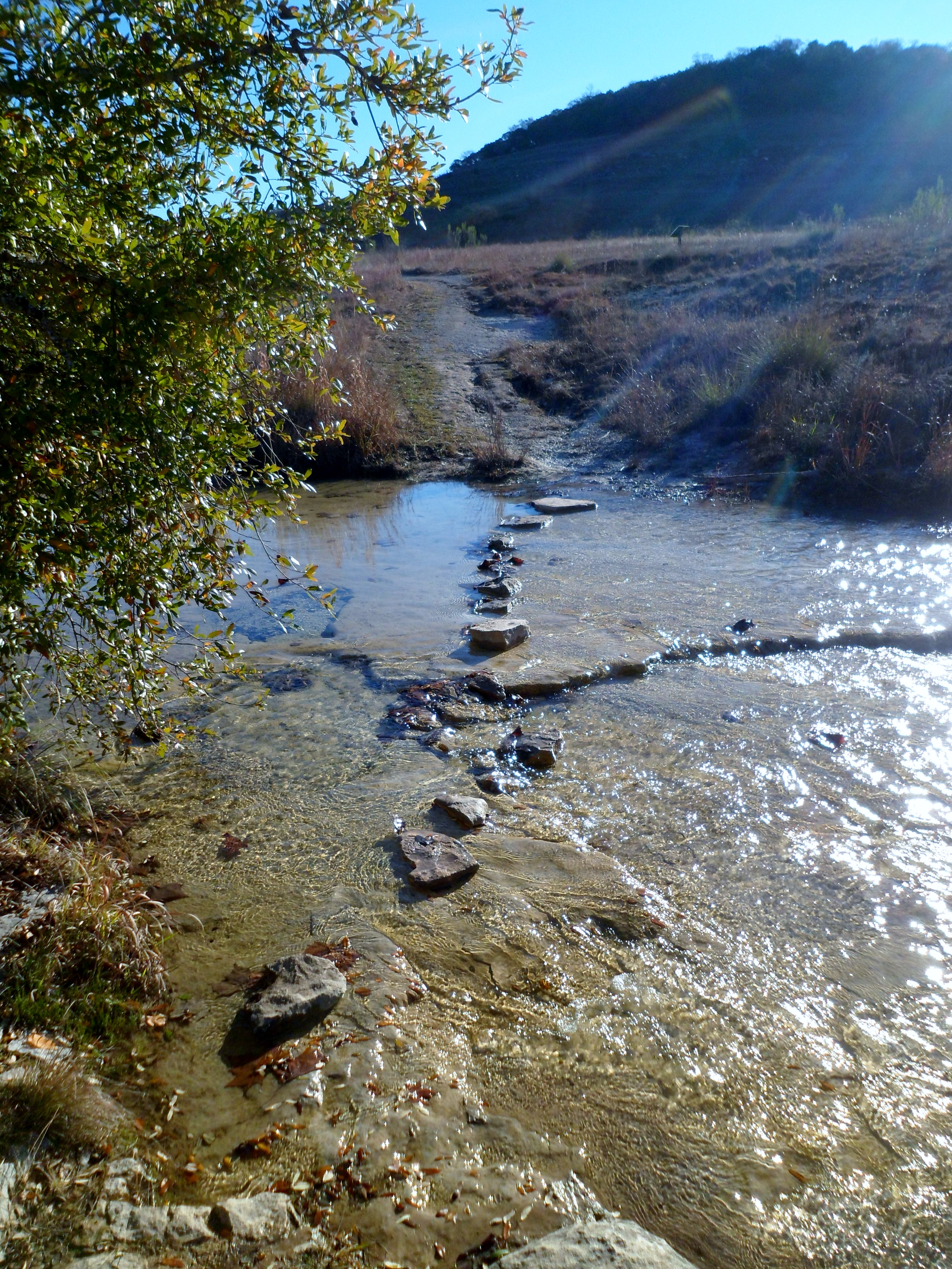
I hit the trail around 9am and the temperatures were still in the upper 30s. I was the only car in the parking lot, save a US Fish and Wildlife truck. I decided to go the opposite direction from the last time I hiked this route. The water was clear and flowing strong down Cow Creek.

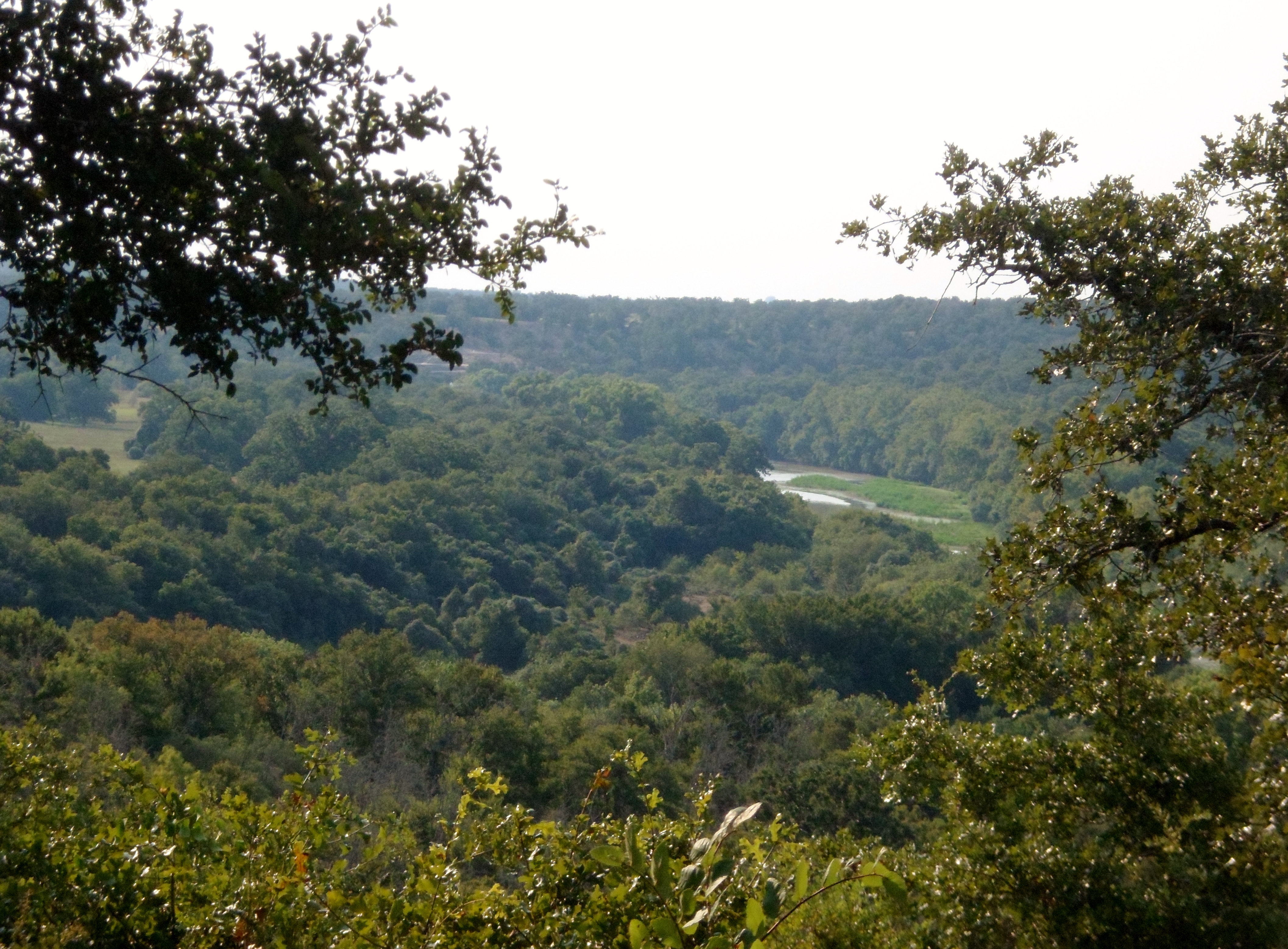
The trail soon took me to the high point of the trail and then wound around the back side of the ridge before looping back. There are some nice views of the Hill Country from the top of the ridge.

Since this used to be a working cattle ranch, there are still some water troughs leftover. I came across one that I’m glad I didn’t have to filter water from.

After connecting the Indiangrass Trail and the Rimrock Trail to get back to the trail head, I checked out a quick quarter mile path around a small pond and then headed back to the car.


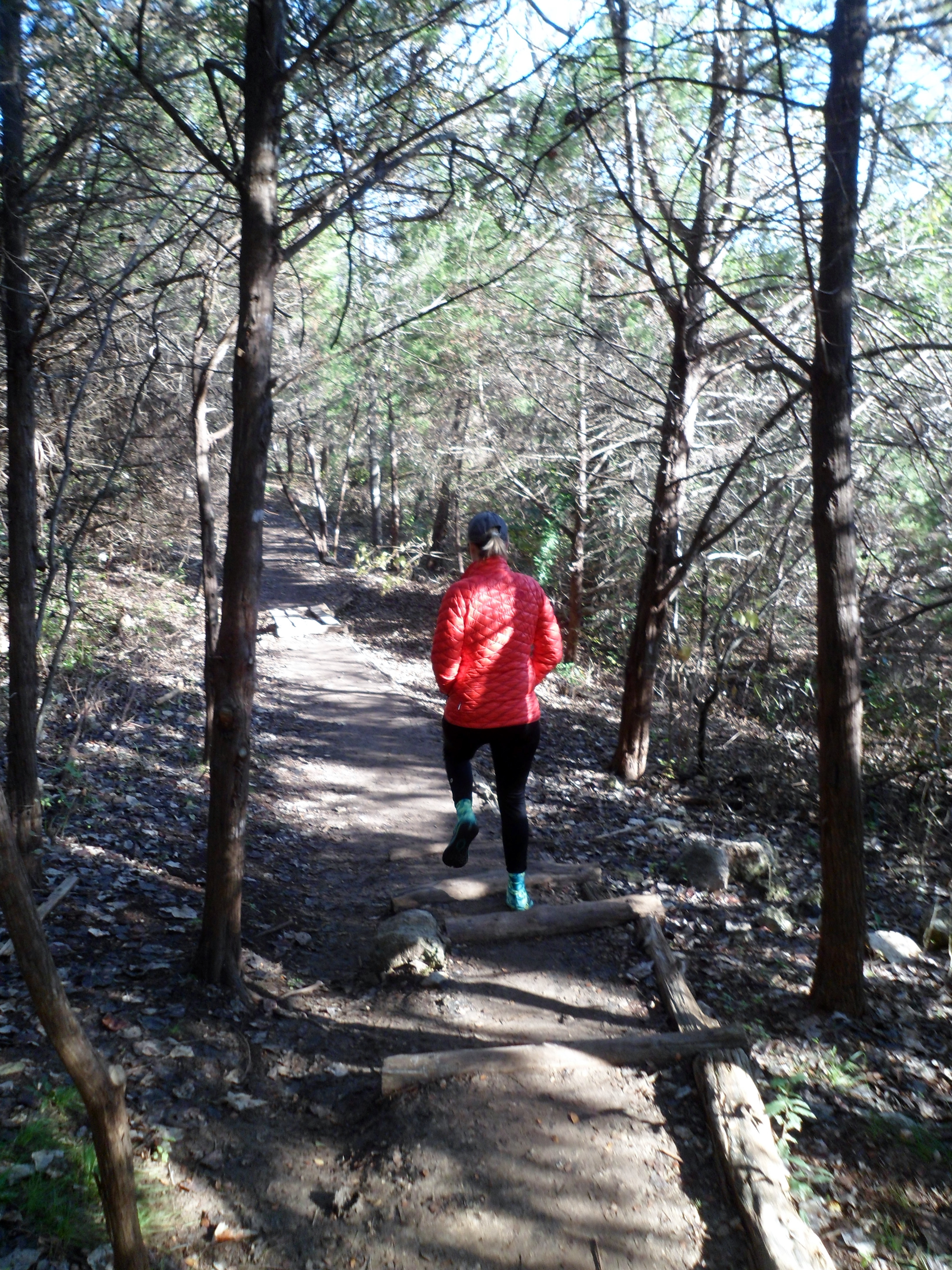
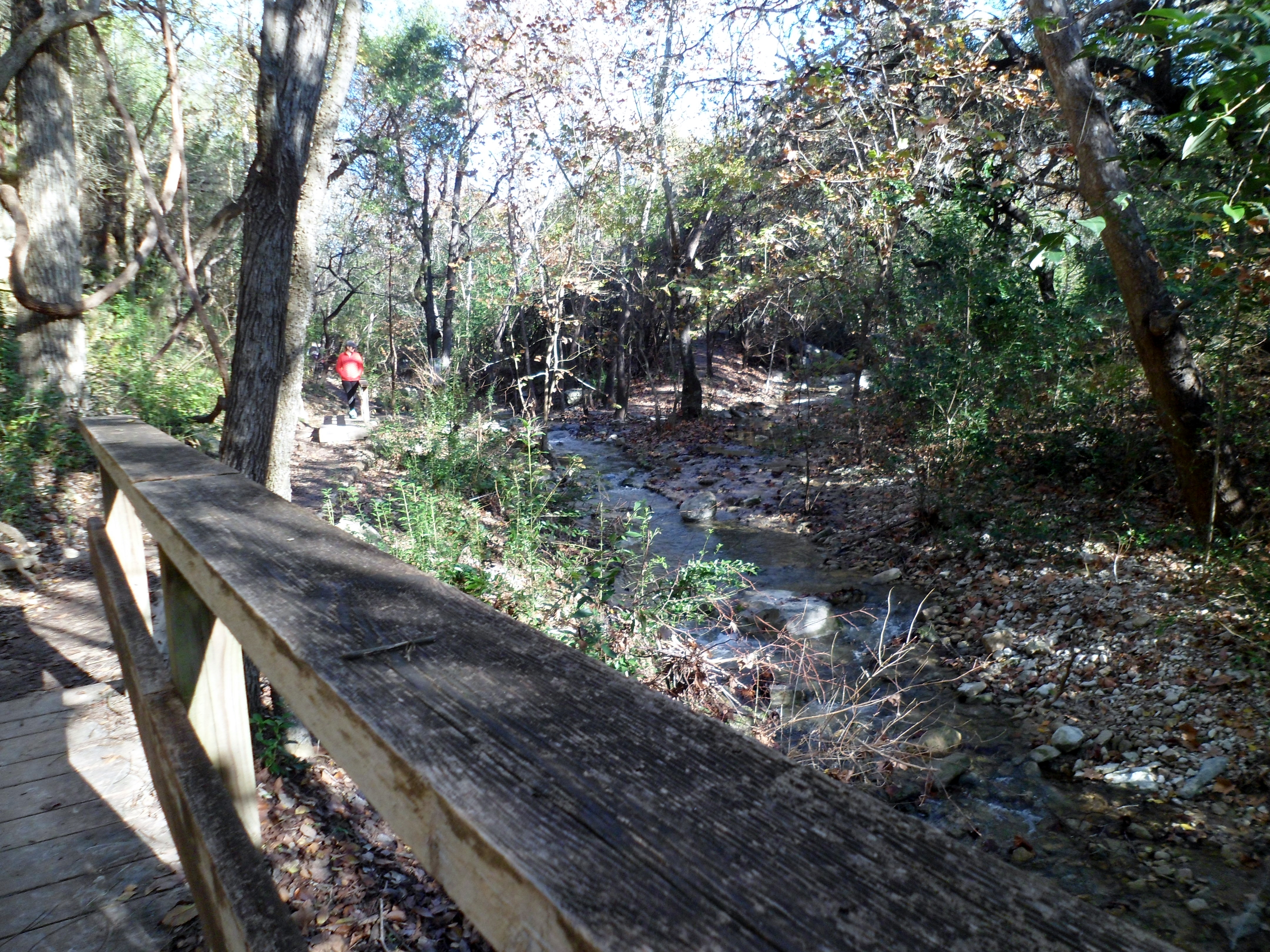
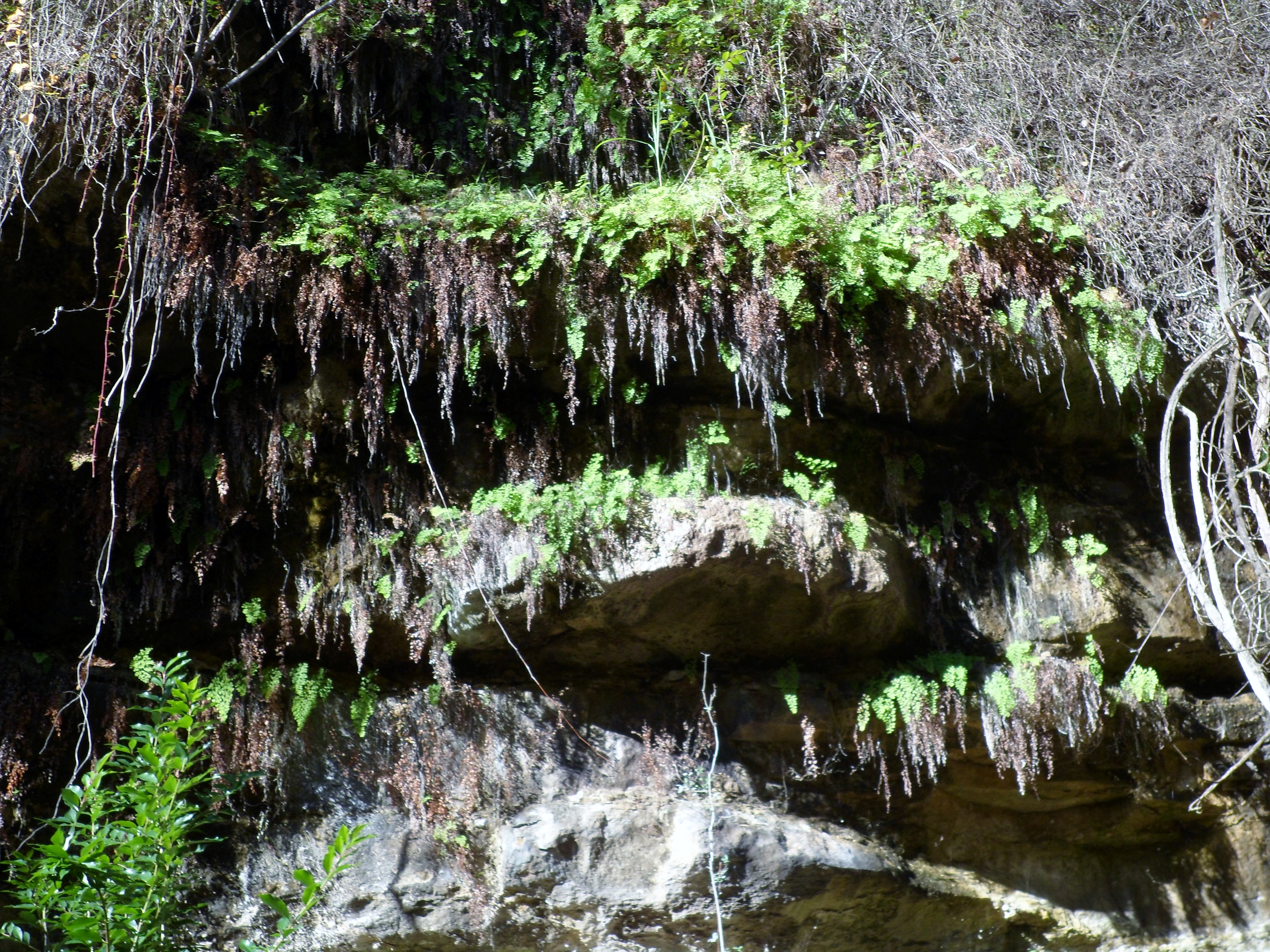
St. Edwards Park 12/12/15
Saturday, December 12, 2015
Hike: St. Edwards Park, Austin, TX
Weather: overcast, drizzly, low 70s
Hikers: Ian, Josh
Length: 6.18 miles
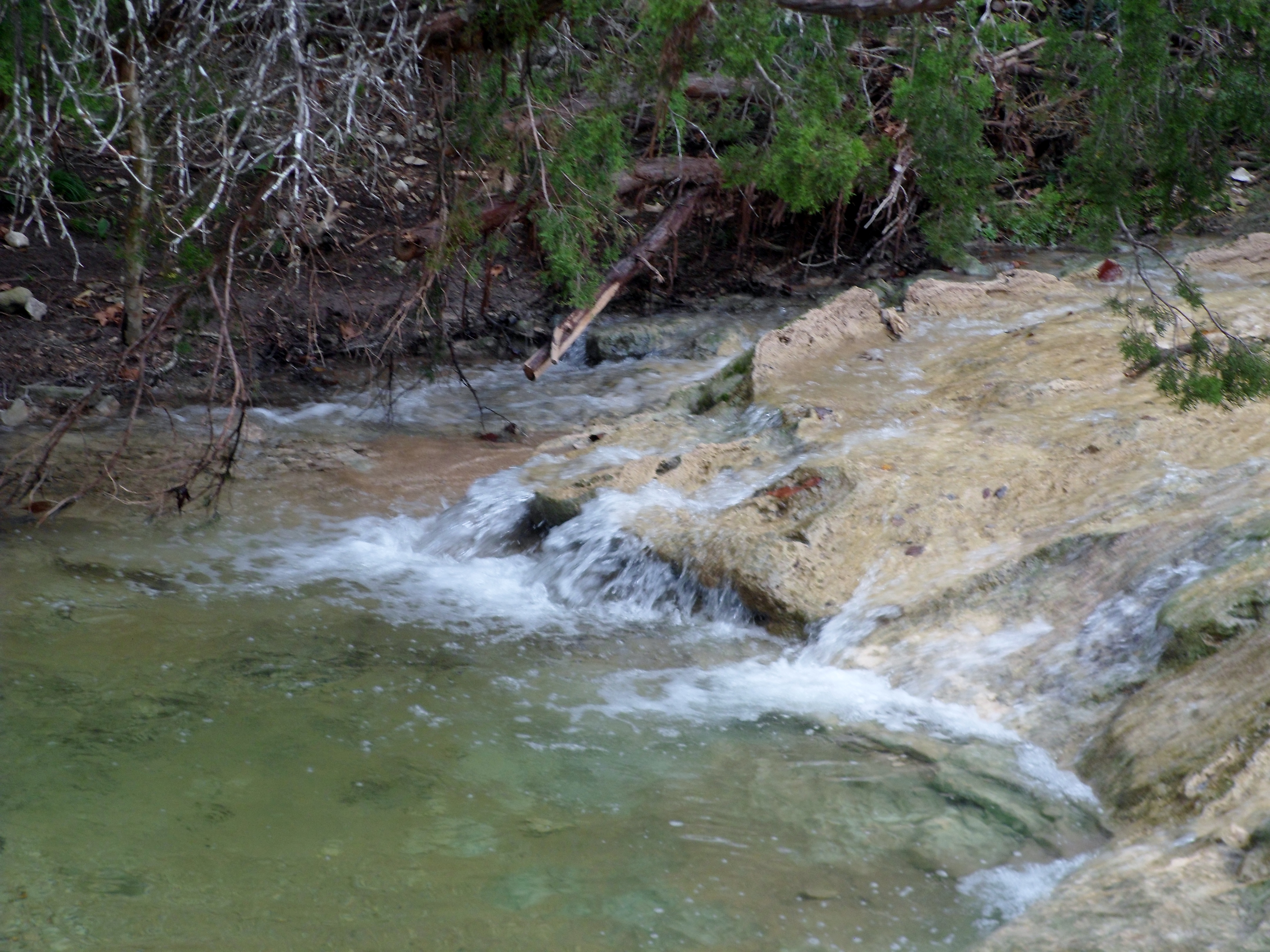
I met up with my buddy Josh for a quick hike in St. Edwards Park to break in my new La Sportiva Ultra Raptor hiking shoes. We met up in the parking lot with rain threatening in the morning, but it never got to be more than a drizzle. Josh also brought his two dogs, Zoe and Pete. It was actually very warm for a December day and made for a pleasant hike.


The water is still flowing nicely from the rains so far this fall. This hike is very different in the fall when the leaves are turning. It is not as pretty as spring or summer, but still a nice hike. My shoes held up well, but they definitely have a different foot feel than my Merrell Moab Ventilators. Not sure if it’s better or worse yet. I will need a couple of more hikes to really make a decision.


I thought I had done all the trails in this park, but we ended up on a higher trail overlooking Bull Creek at one point that I had never been on. It was a good view of the park.


I am hoping the weather cooperates a little better this winter so I can get some more hikes in. Thinking about planning a camping trip sometime in February also, when the weather is particularly hard to judge, but if it is cold, I think we can still manage. More hikes to come!


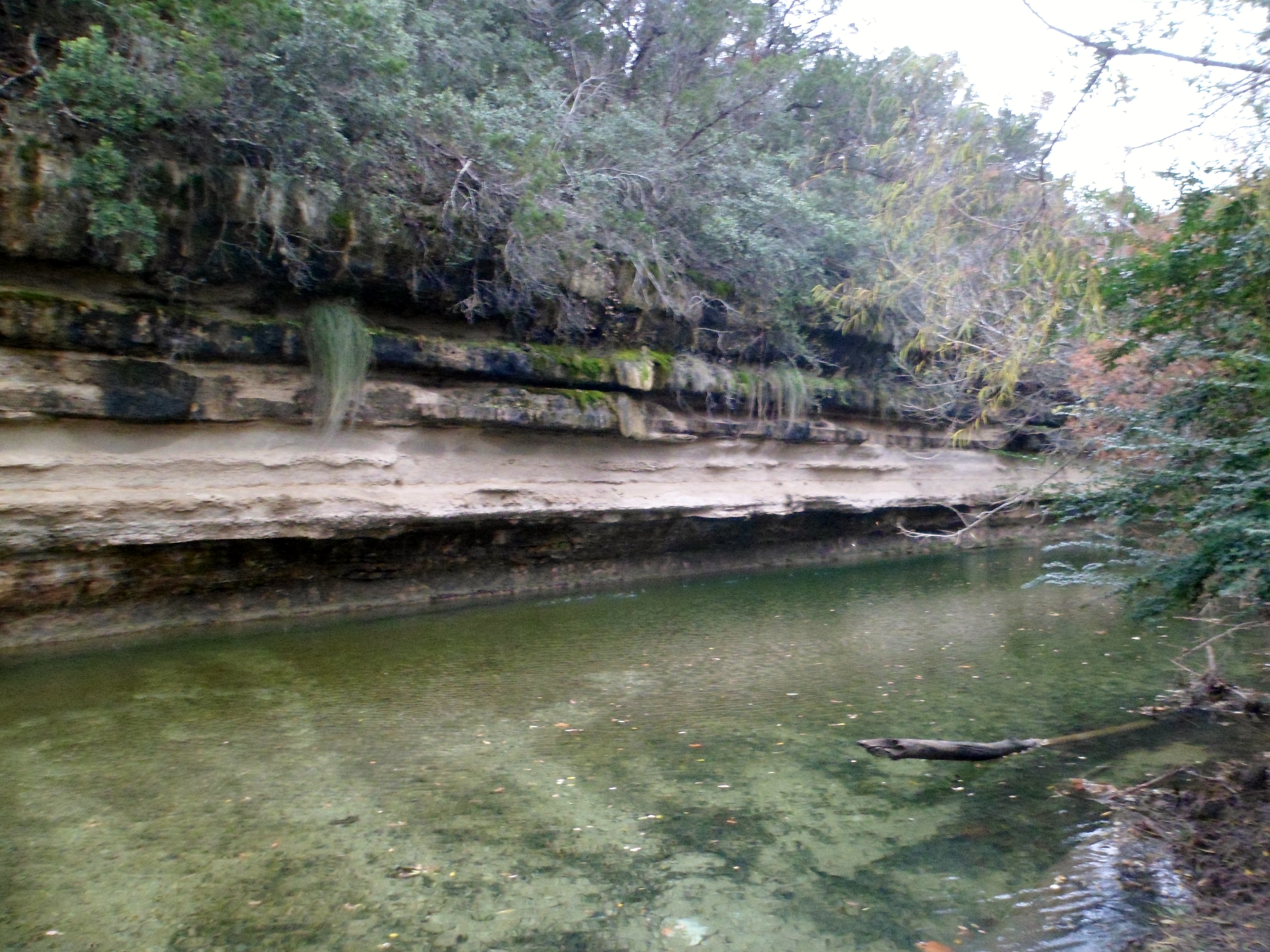
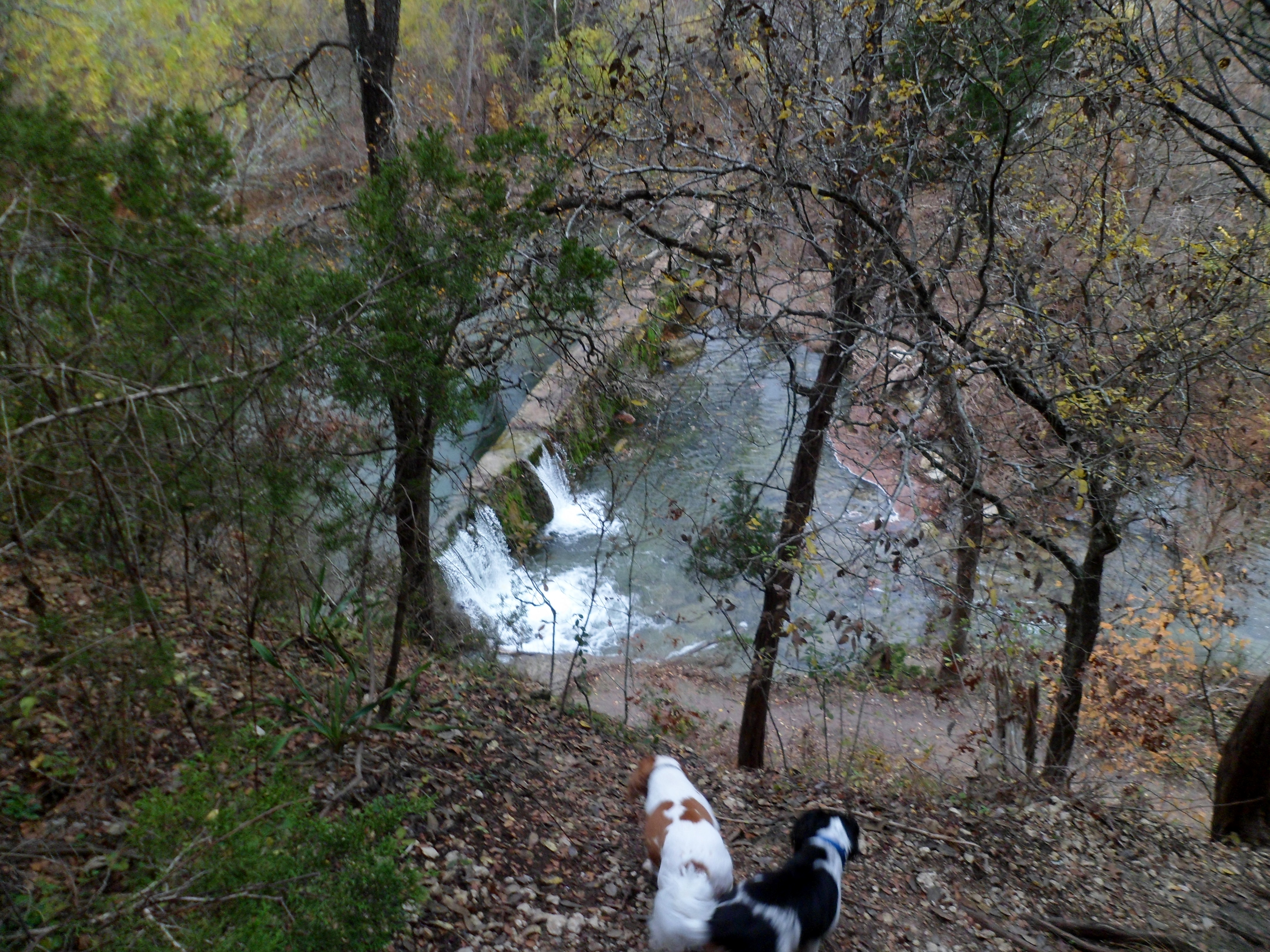
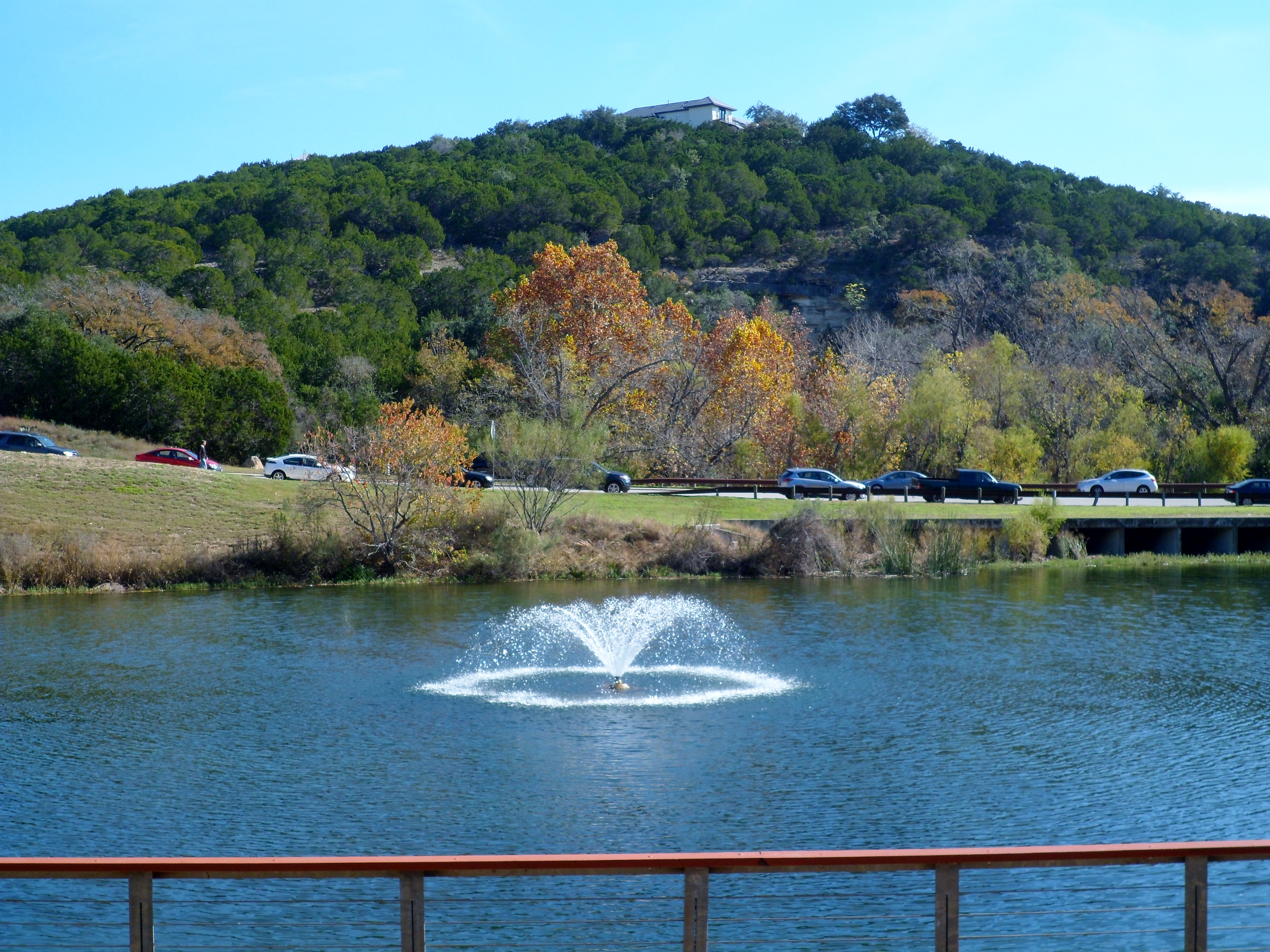
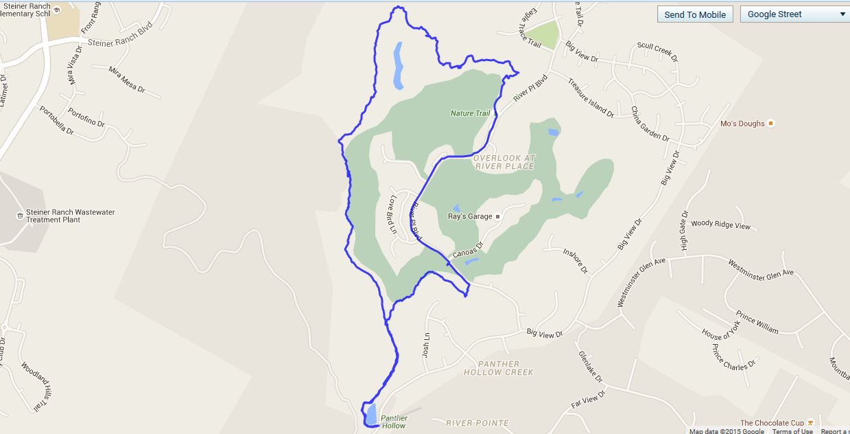
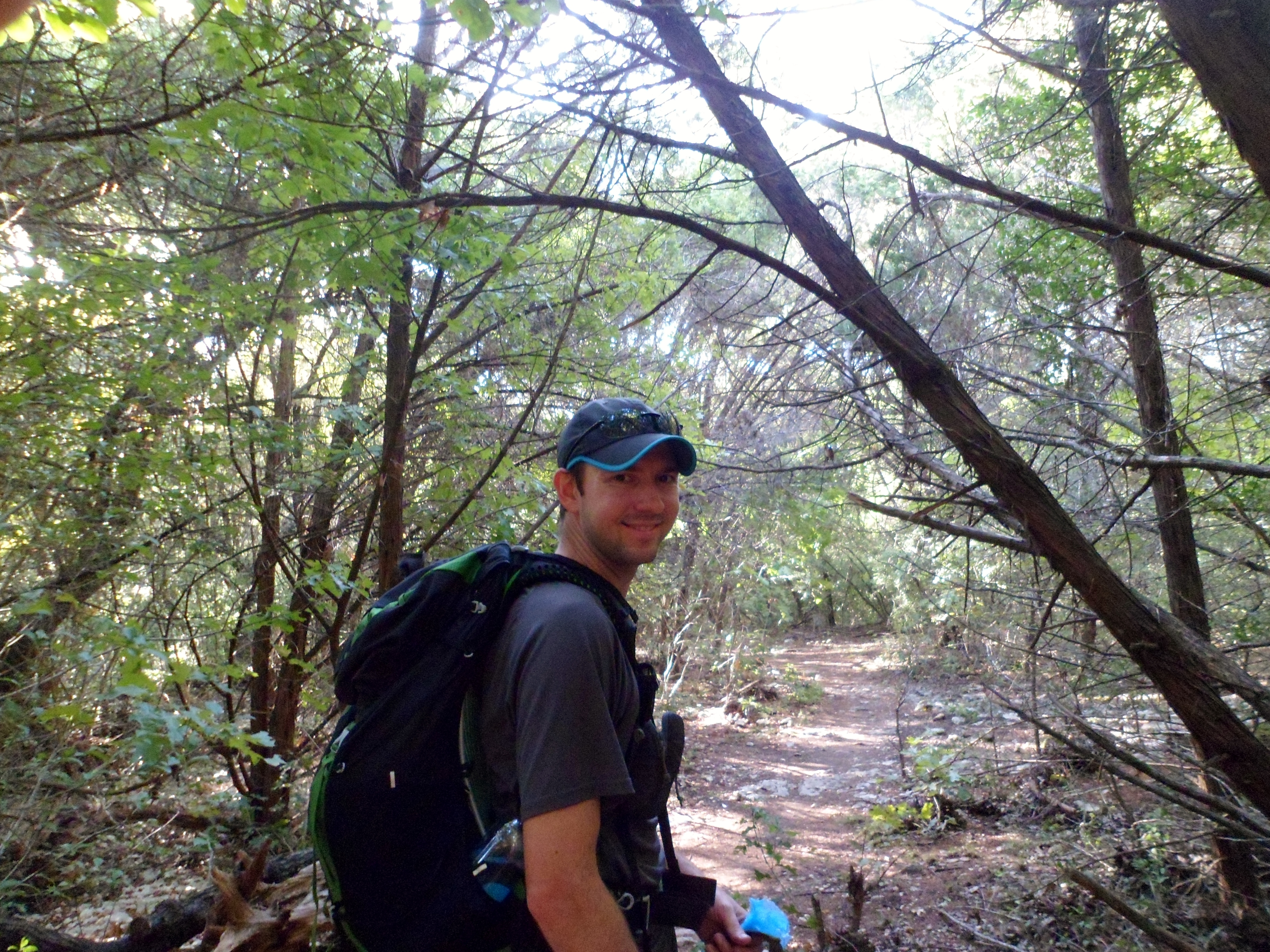
River Place Nature Trail 12/5/15
Saturday, December 5, 2015
Hike: River Place Nature Trail (Panther Hollow/Canyon/Little Fern), Austin, TX
Weather: clear, cool, mid 50s
Hikers: Ian, Court
Length: 5.13 miles
Our second hike on this trail was as good as the first, albeit under very different weather conditions. The last time we were here it was hot and the mosquitoes were insane. Today was downright pleasant, if a little cold at first. However, the trail was much more crowded this time as well.
We got to the trail head around 9:30am and set off at a pretty quick pace. The water is running well and the morning light reflecting off the creek made for some pretty pictures. It was a bit muddy in places, but nothing too out of control. This is still the best trail in Austin, with almost 500 feet of difference in elevation, which is quite a bit for most trails in this area.


After getting to the end of the Panther Trail, we road walked for a bit and then hit the Little Fern Trail Head and dove back into the trail system. It made for a nice loop without any backtracking.
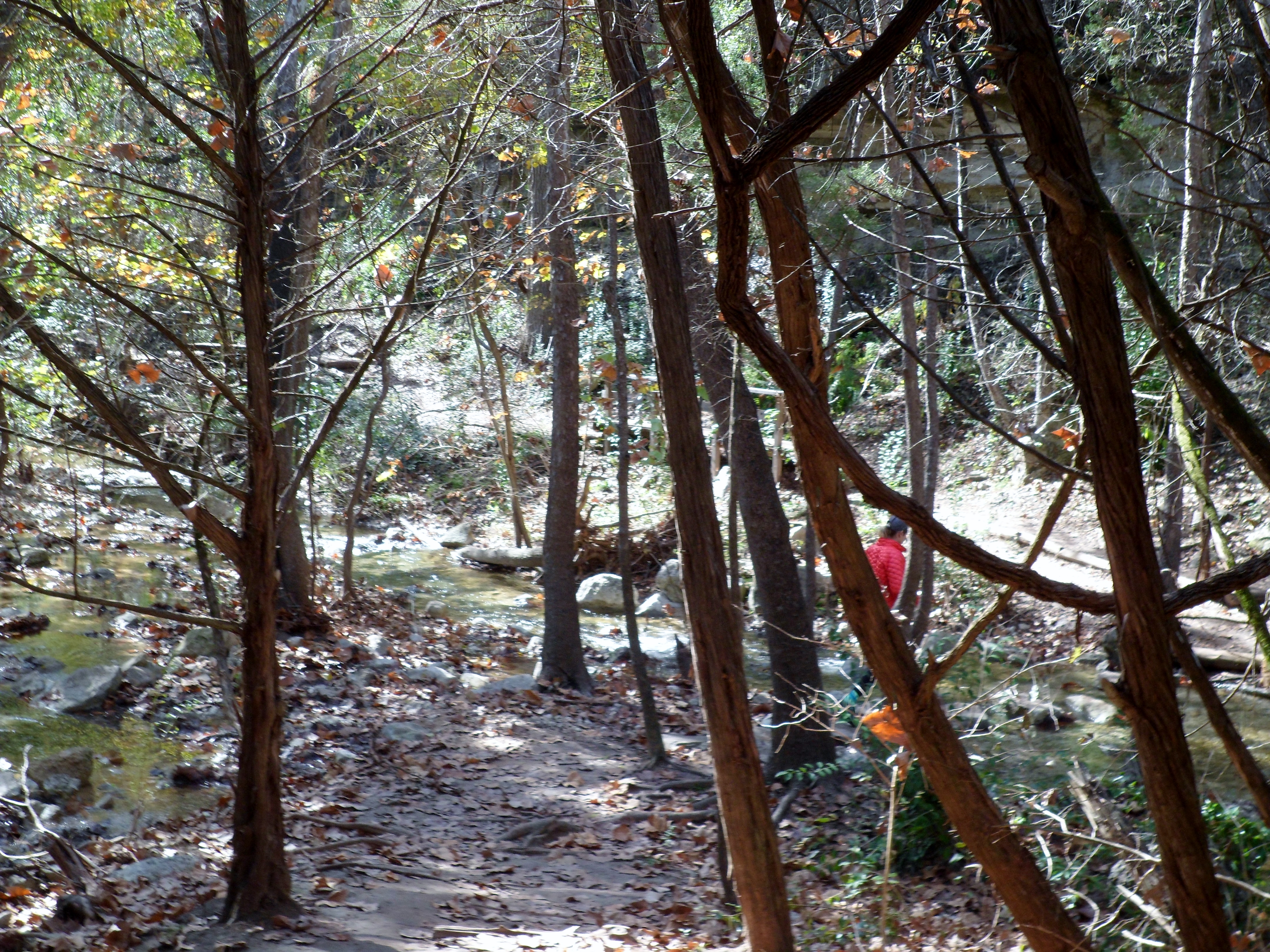
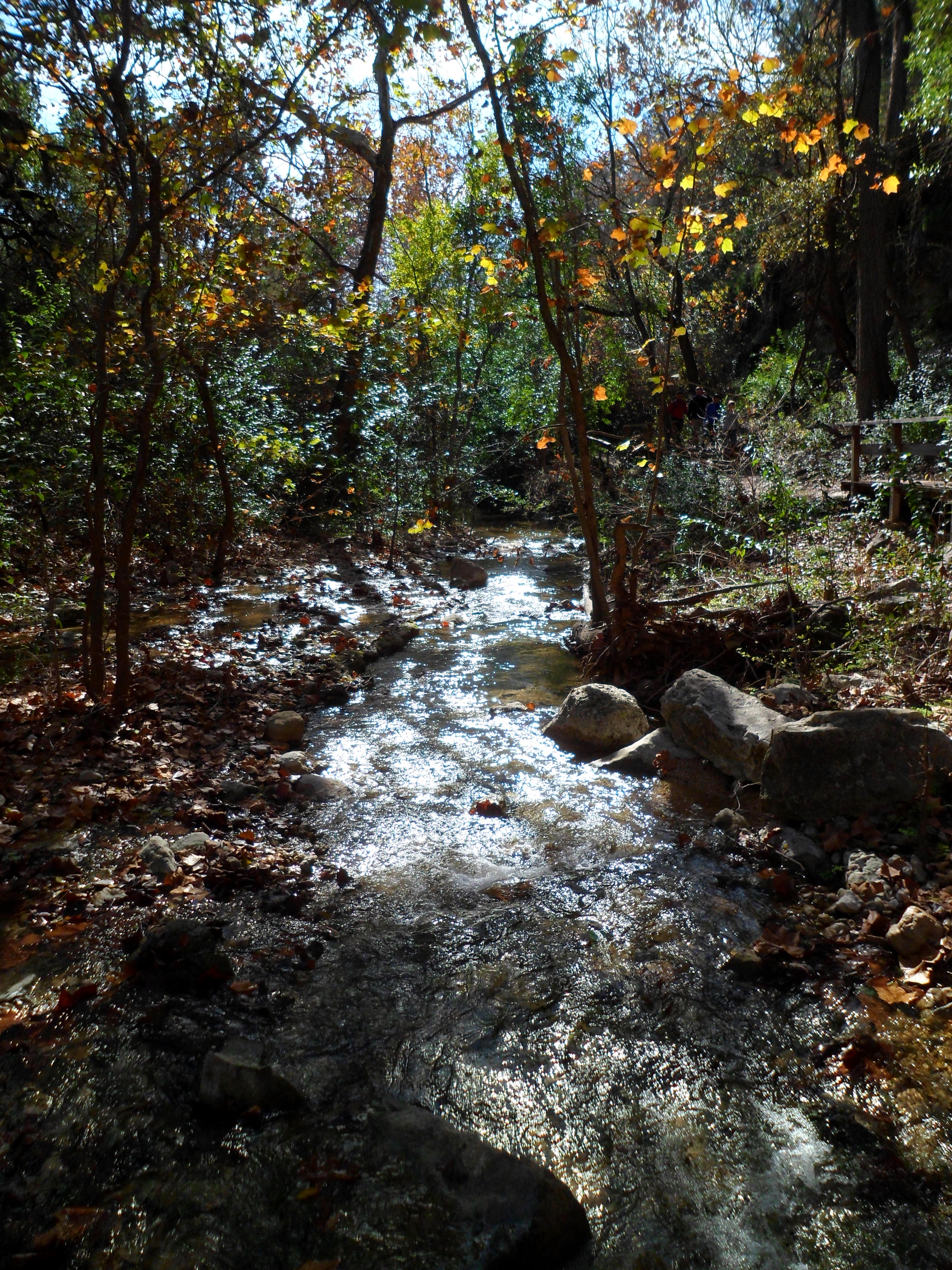
Again, this trail is exquisitely maintained. I think the word is getting out, as we probably saw at least 30 other hikers. On a separate note, I just bought a pair of La Sportiva Ultra Raptors to replace my Merrell Moab Ventilators, which I should be breaking in on our next hike. I love my Merrell’s, but they don’t breathe nearly well enough. Hopefully the La Sportiva’s treat me as well as the Merrell’s have over the past 400 or so miles.
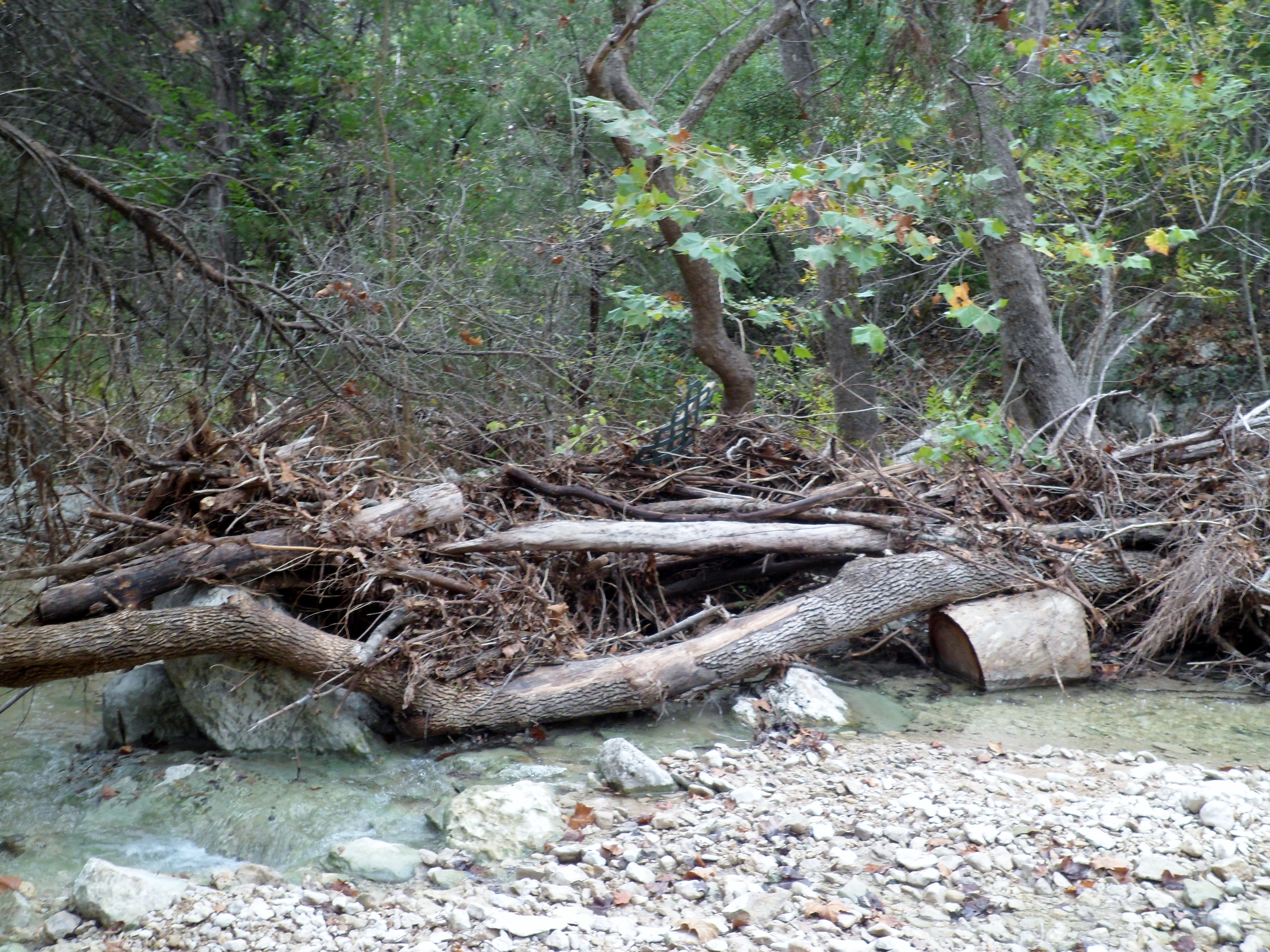
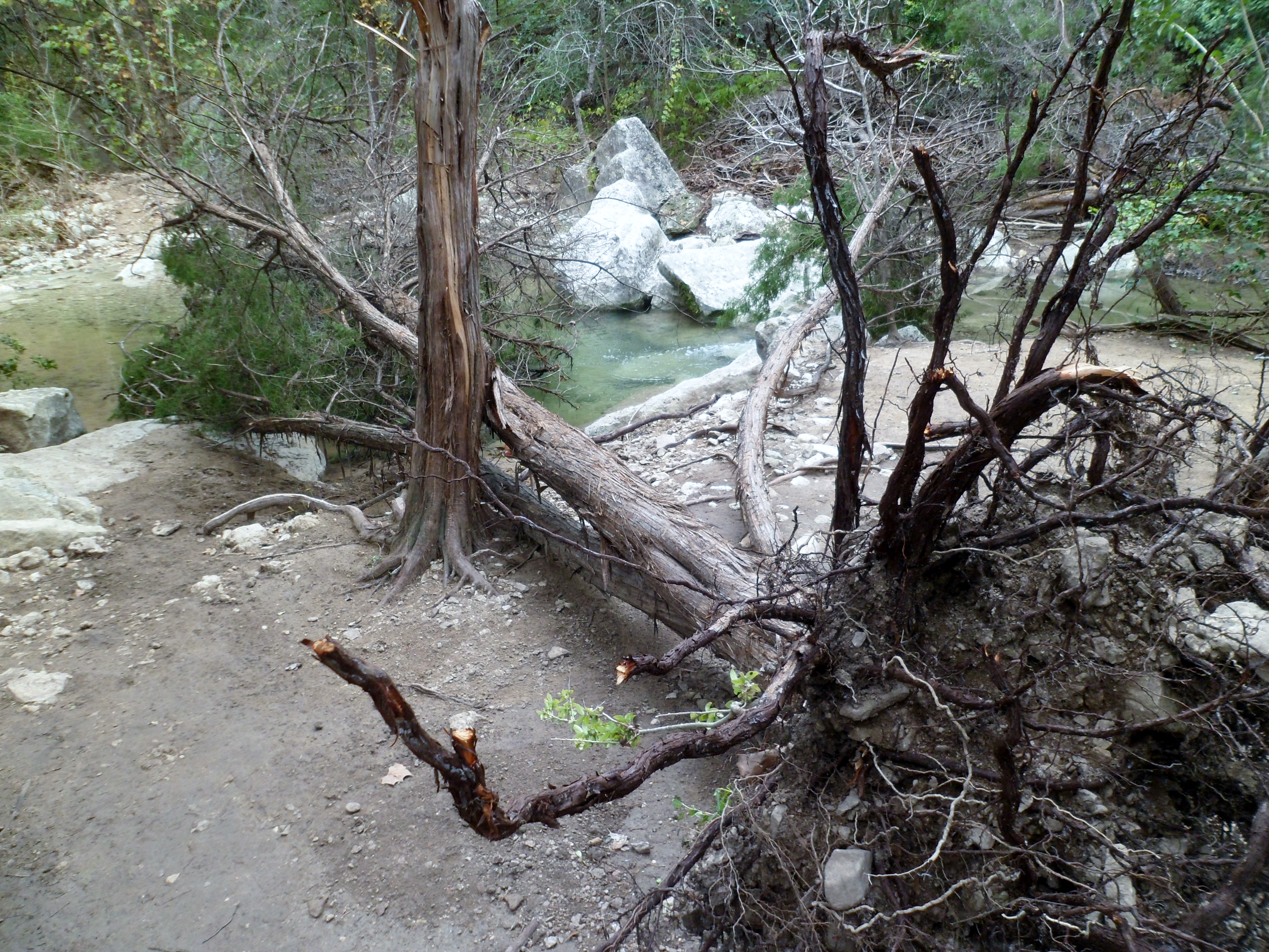
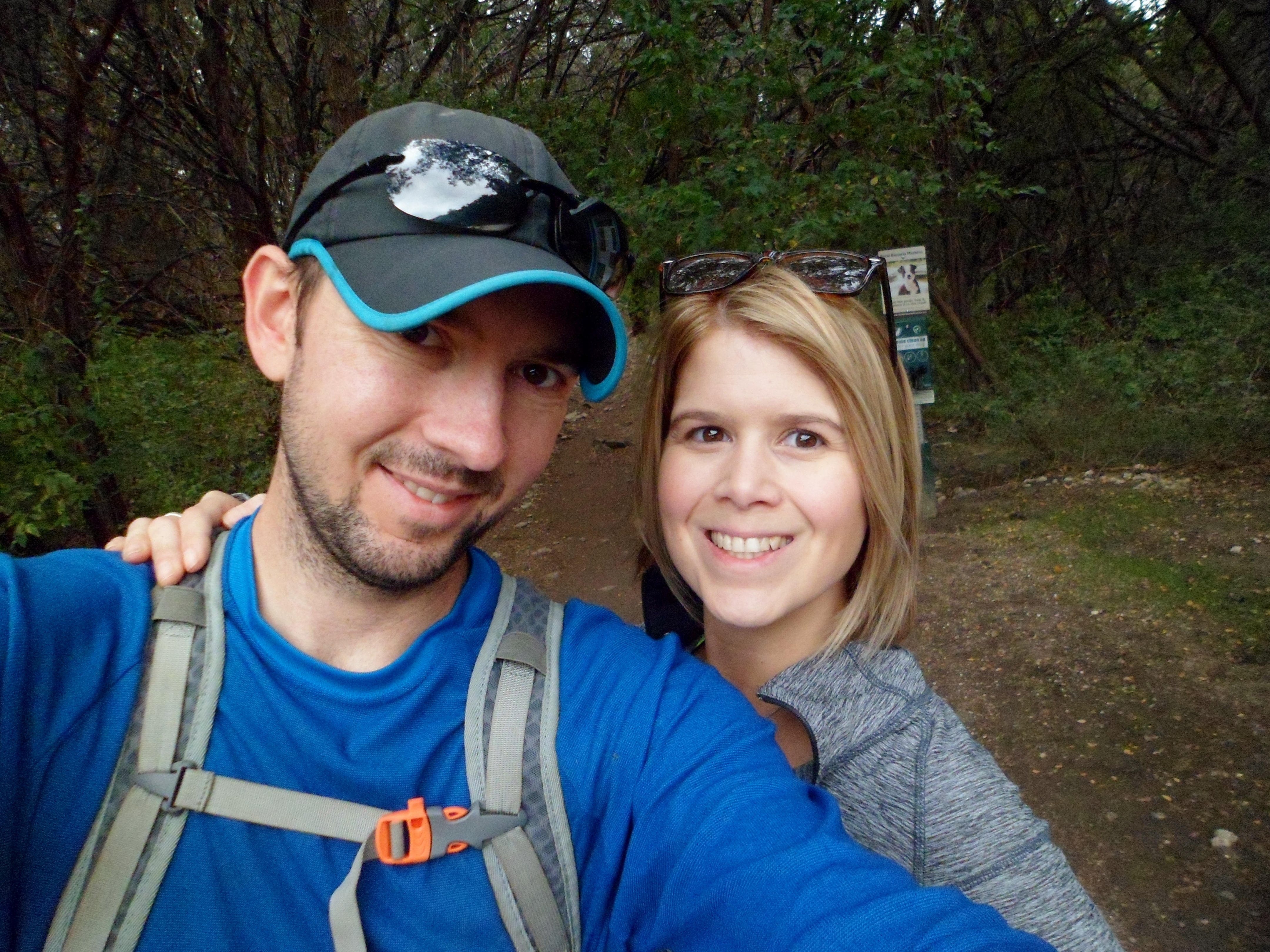
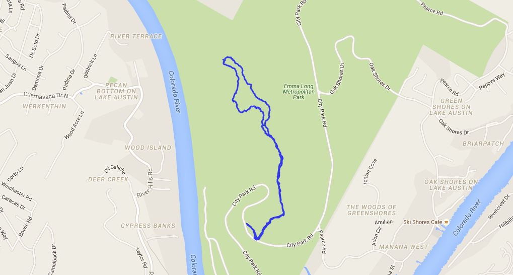
Turkey Creek 11/13/15
Friday, November 13, 2015
Hike: Turkey Creek Trail
Weather: cool, overcast, low 60s
Hikers: Ian, Court, Biff
Length: 3.03 miles
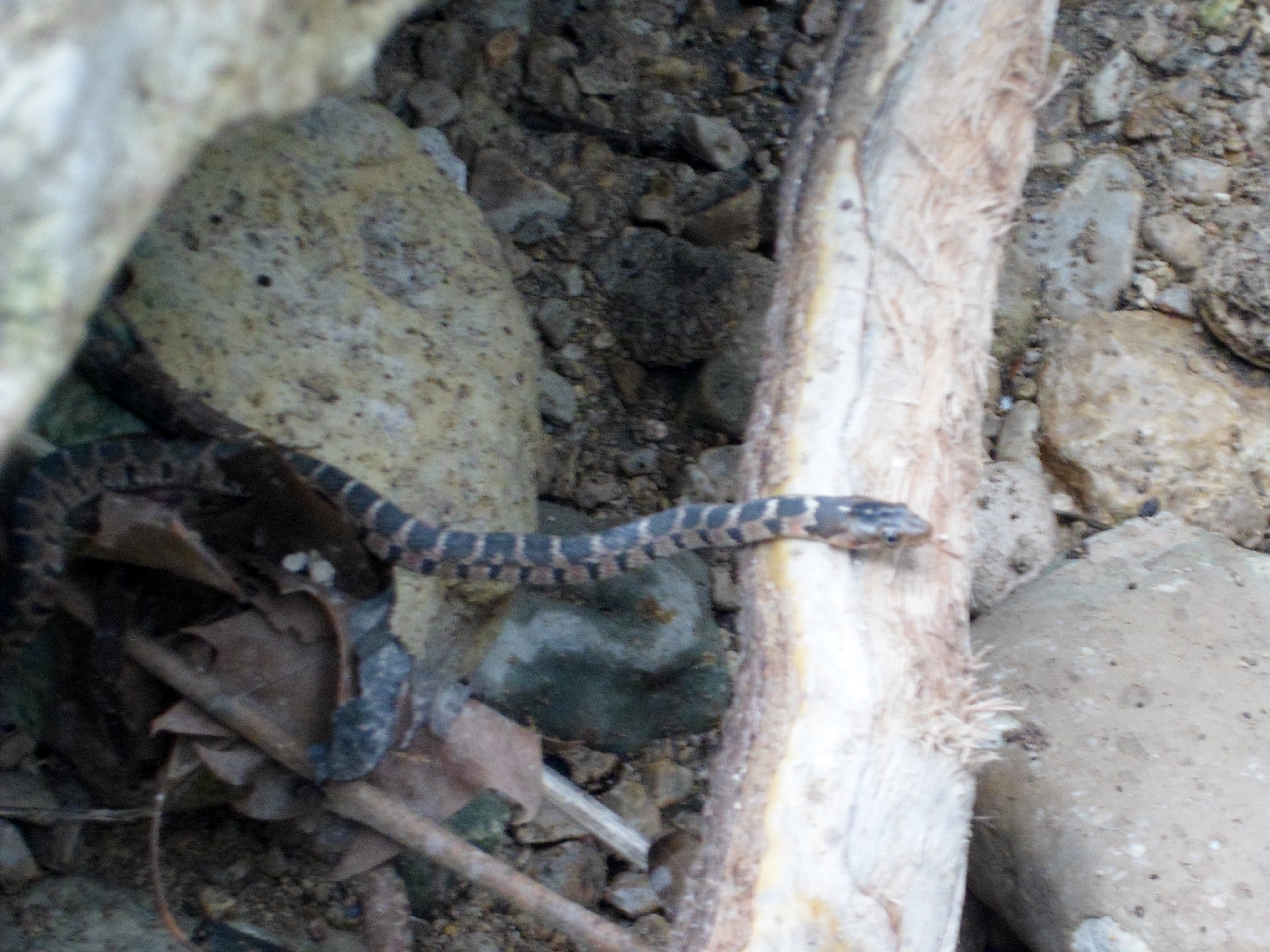
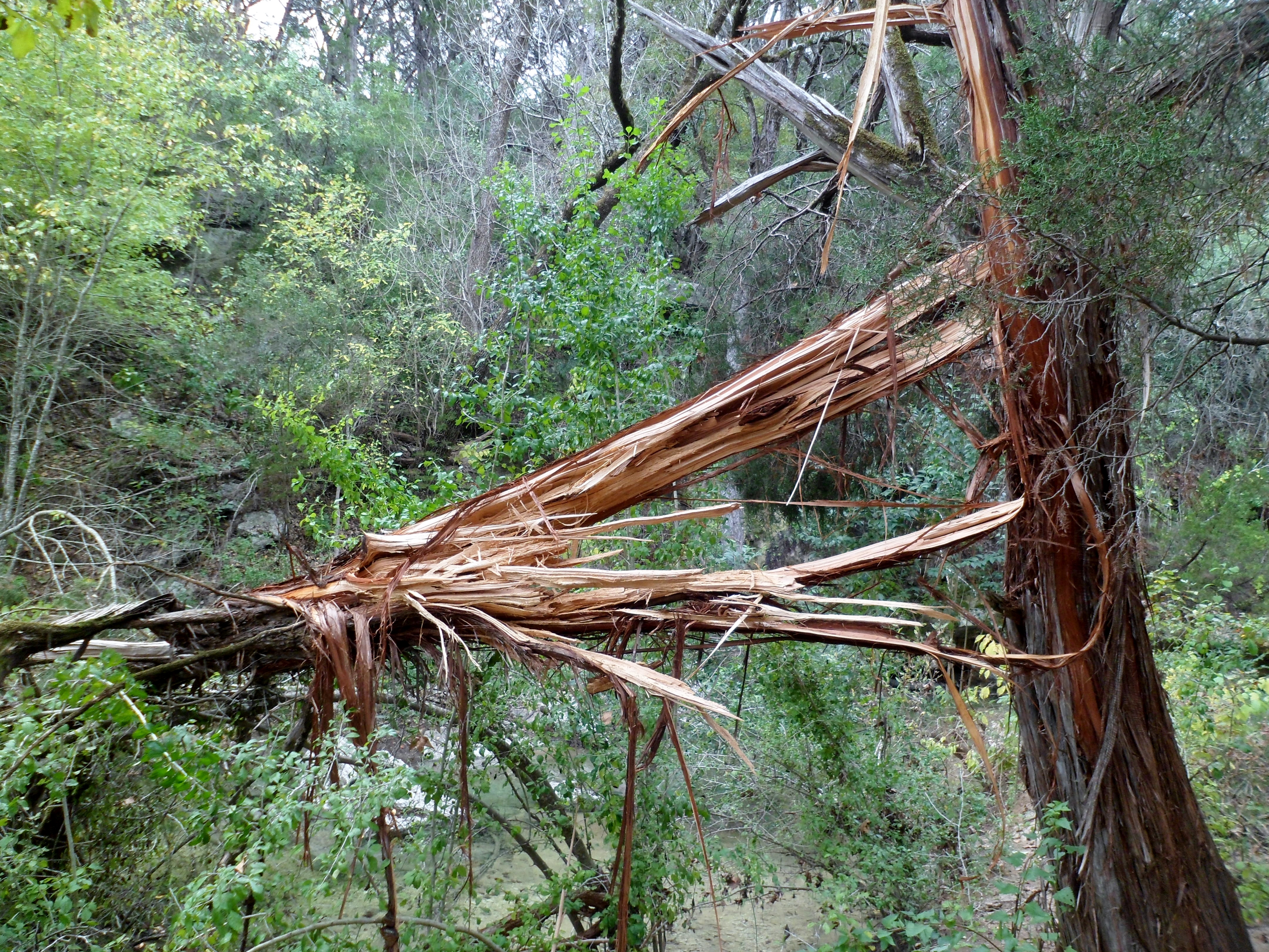
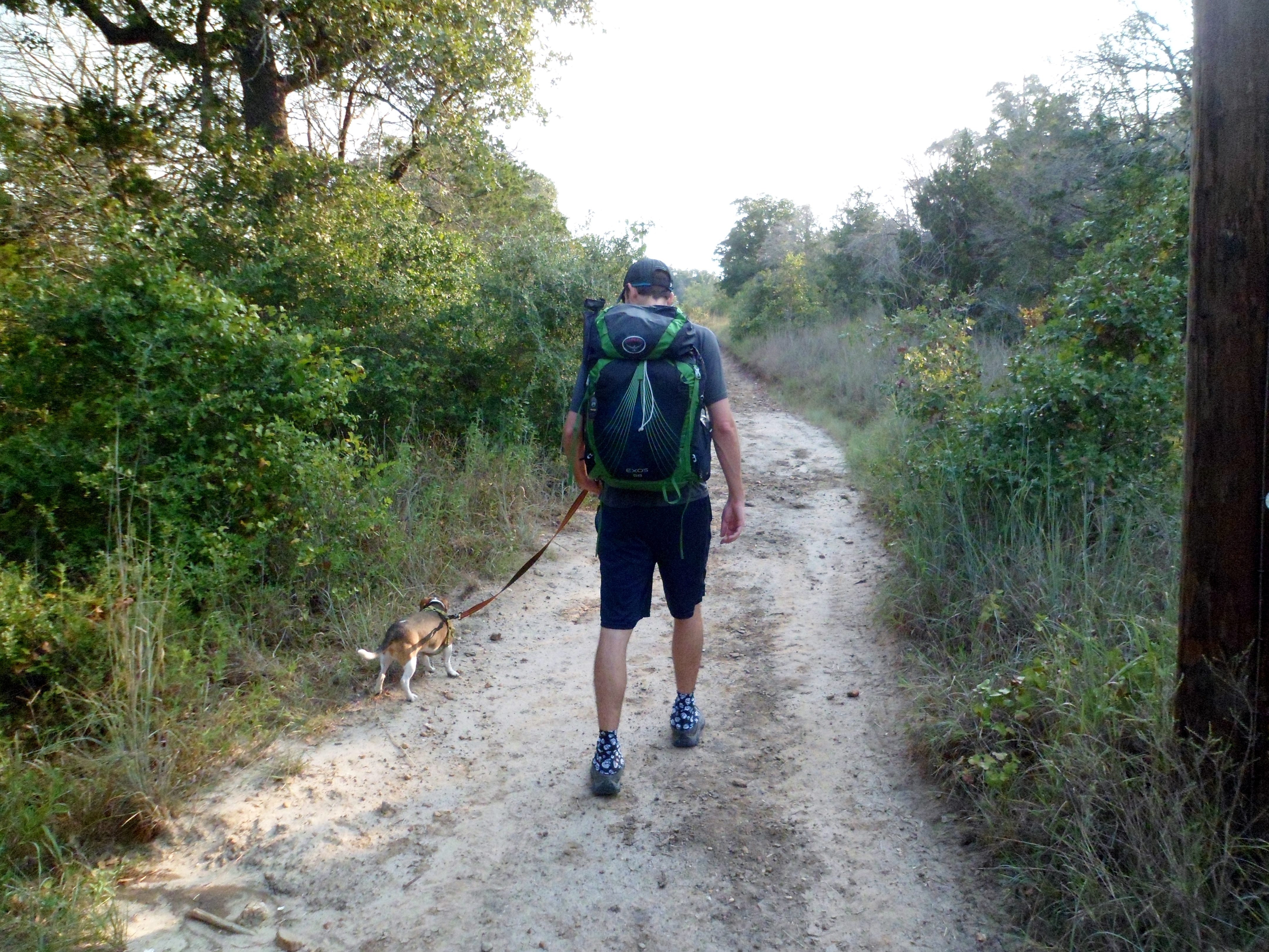
The weather in Texas has been insane lately with another round of flooding in early November. El Nino is ramping back up and it has made it difficult to get out and hike, but we found a nice window this weekend and decided to get Biff out to Turkey Creek. We have done this hike a few times in the past. It’s not too long, but is great for dogs.
We got to the trail a bit later than normal, around 9:30am, but there were only a few cars in the lot. Usually this lot is packed by 8am. The water was flowing pretty good still and there was a lot of flood debris that still needs to be cleared out. The trail could definitely use some maintenance this winter, as part of the trail is completely blocked by debris, making it necessary to do some creative re-routing.
A good solid hike overall. One of our go-to hikes with Biff, as he can do most of it without having to be carried. Hopefully the weather cooperates the rest of this winter and into spring so we can get out a little more often.
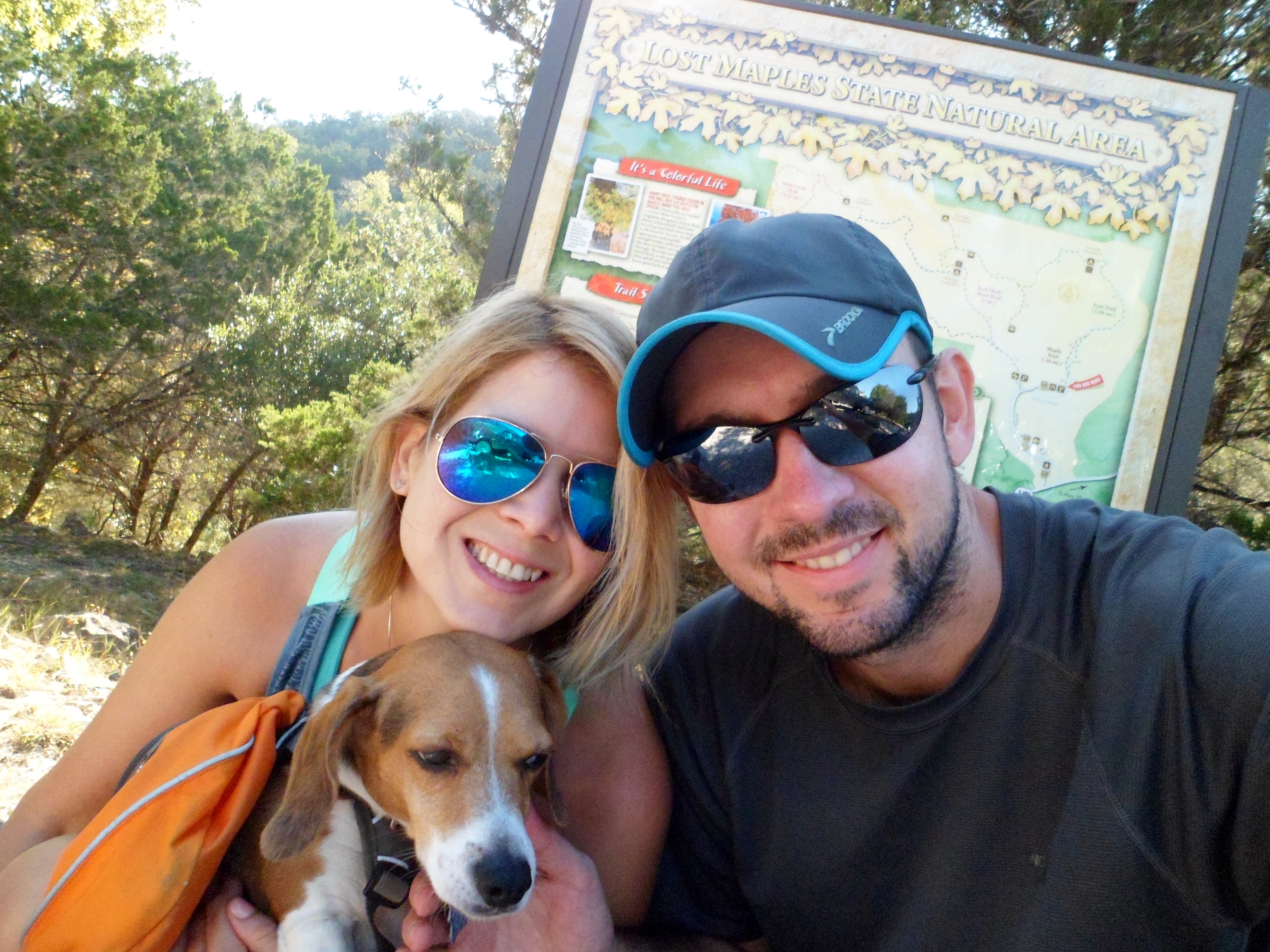
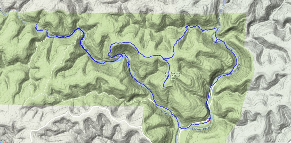
Lost Maples State Natural Area 10/16/15-10/17/15
Friday and Saturday, October 16 and 17, 2015
Hike: Lost Maples State Natural Area overnight, near Vanderpool, TX
Weather: Highs in the 90s, lows in the 50s, clear
Hikers: Ian, Court, Biff
Length: about 12 miles total
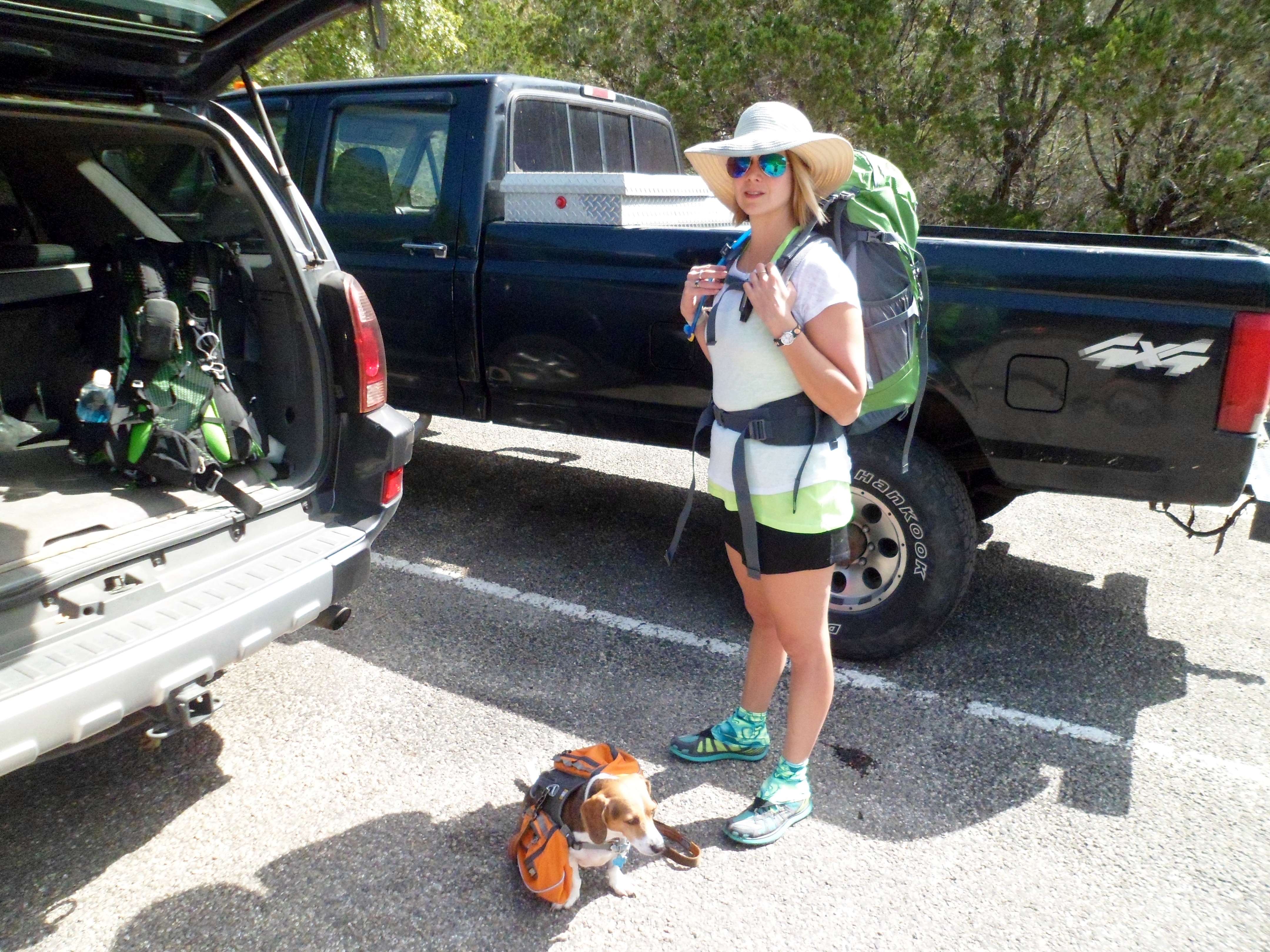
Our first official backpacking overnight was a success. After two years of gathering gear and learning, we finally got to put it into practice. The leaves haven’t started to turn yet, as it has been a very warm fall so far, but it was still beautiful.
We made the 3 hour drive through the Texas Hill Country out to Lost Maples State Natural Area and stopped at a great little cafe in Medina for lunch.

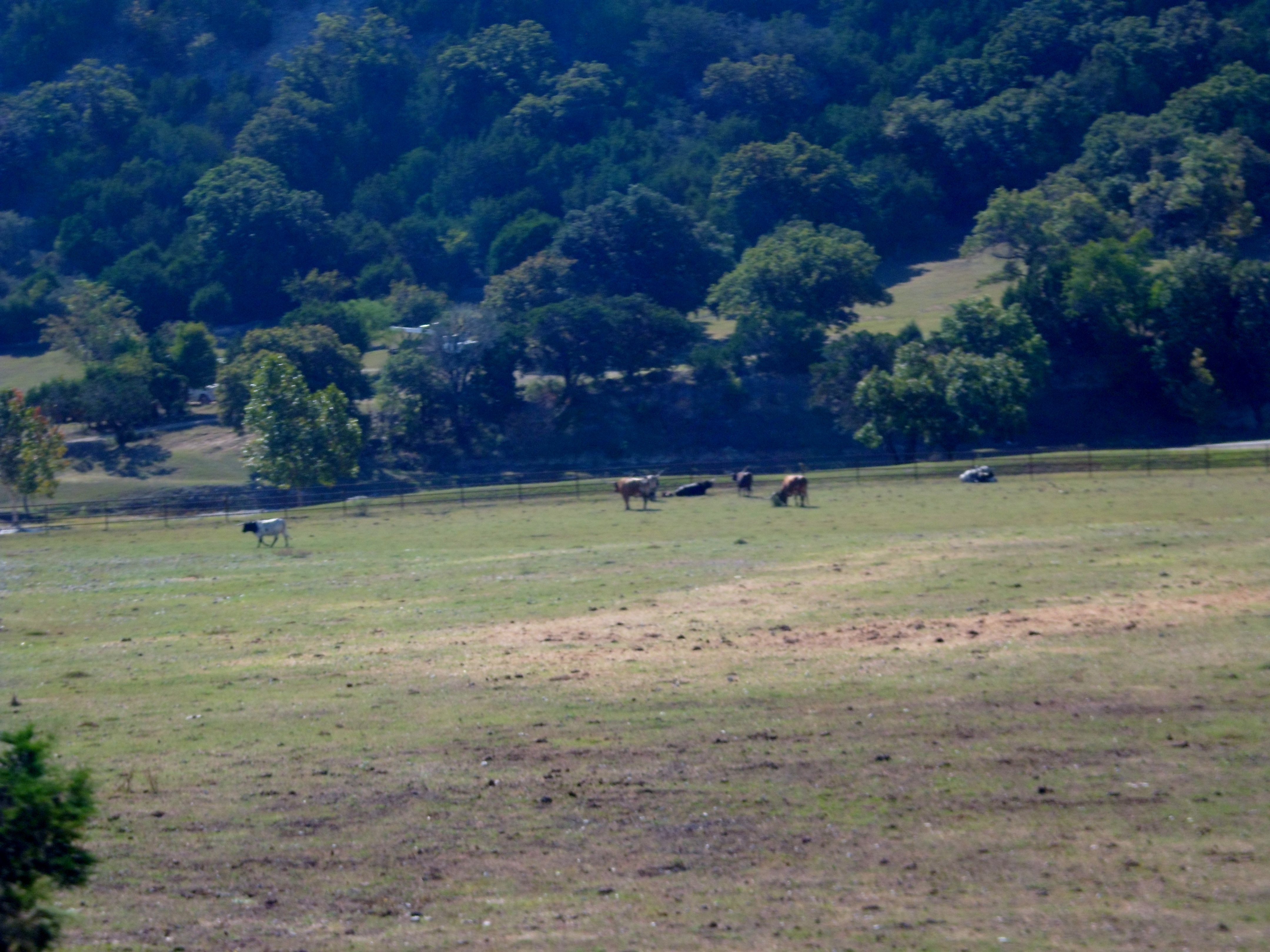
Just outside the Vanderpool area we passed by the Siesta Valley Ranch, which is a working dude ranch at the base of a huge cliff with longhorns and bison and a beautiful lake. Court was in love.


We reached the park just after 1pm, not sure of what kind of crowd to expect. The parking lot was actually pretty empty. I asked the rangers if there had been a lot of hikers in so far and they said no, but they expected it to get packed later on. We paid our entry fees and drove to the trail head. It was a good feeling to head off on a trail knowing that we would get to the end and set up camp, instead of having to just turn around and come back to the car.
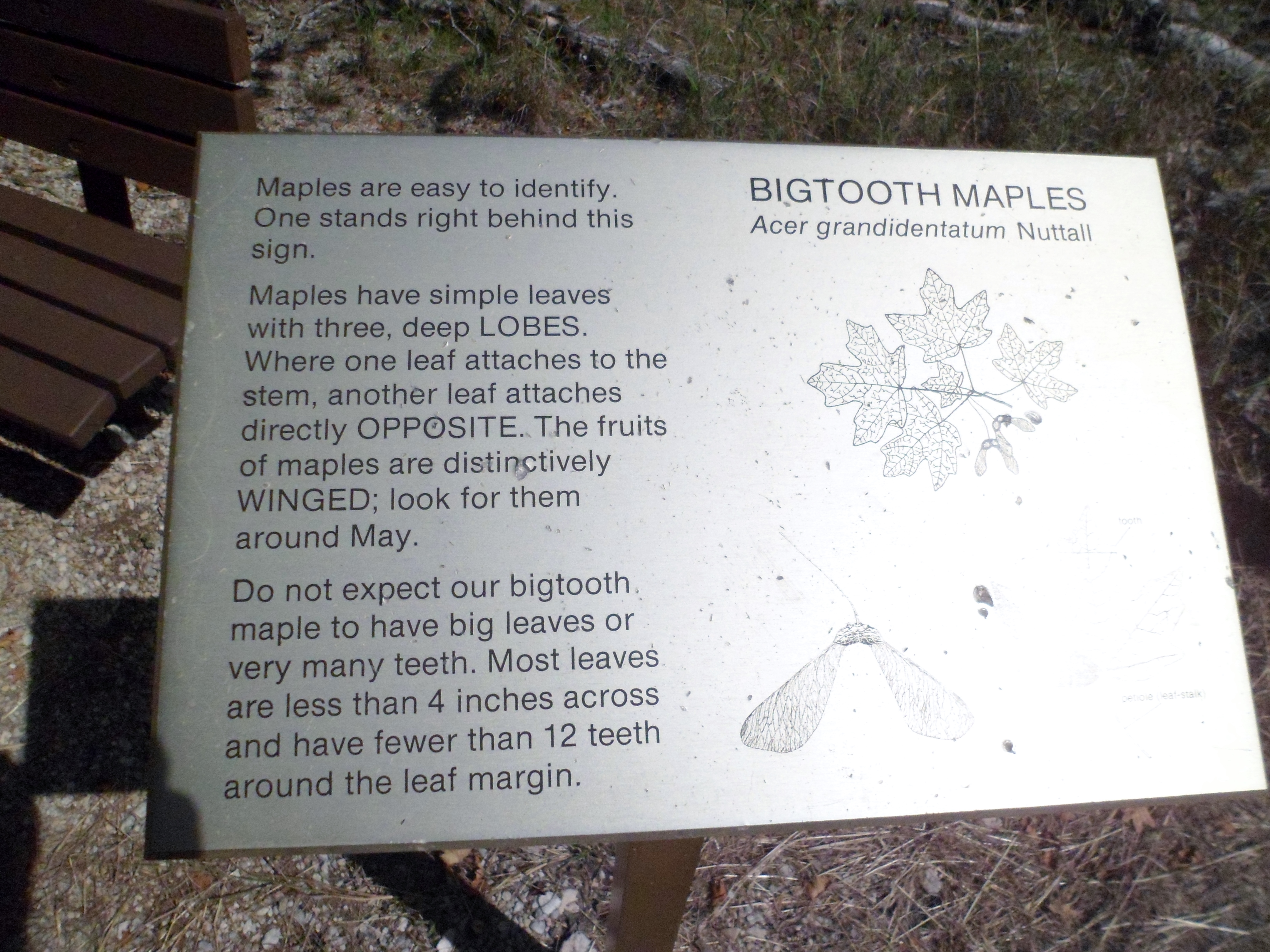
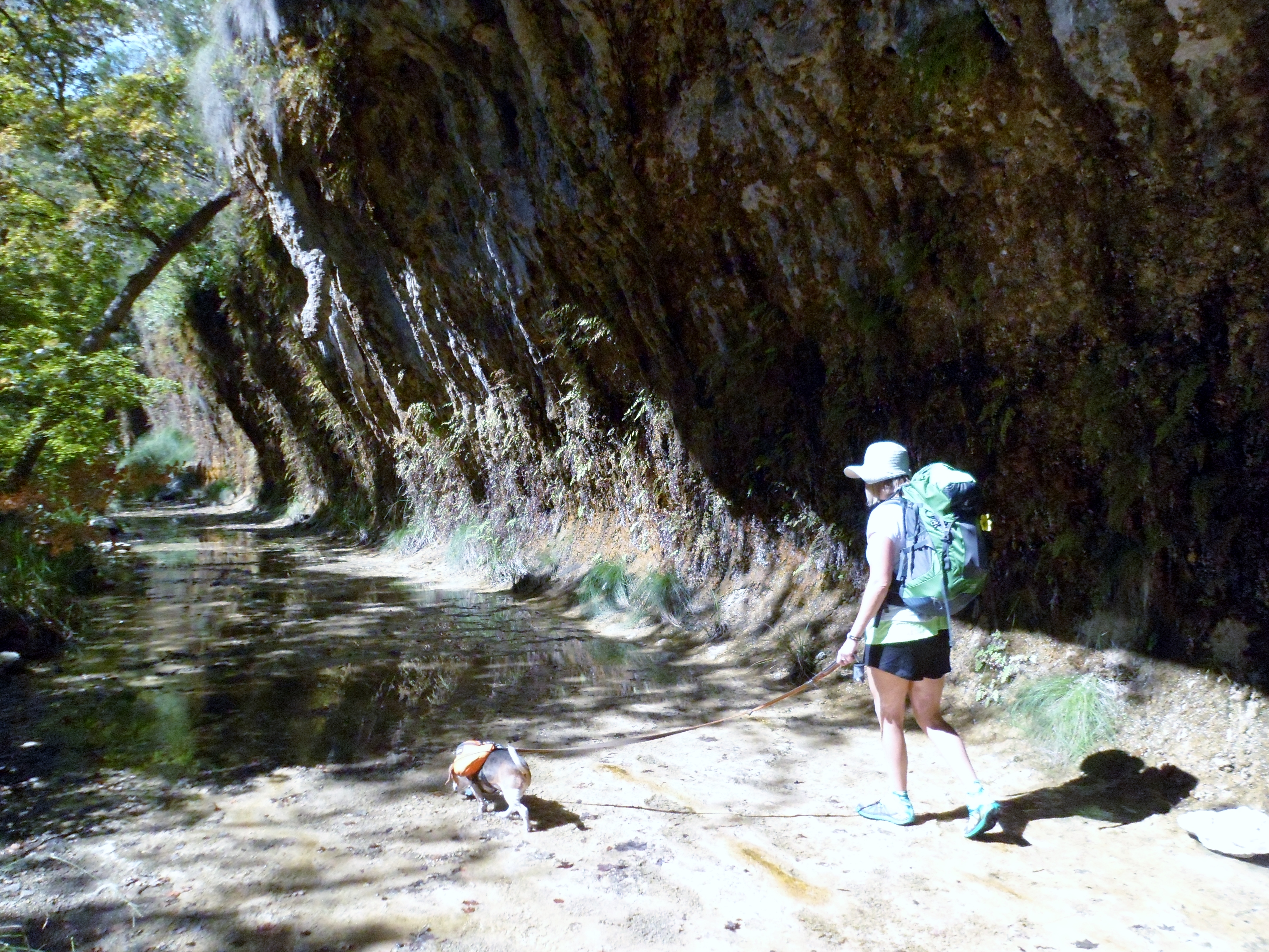
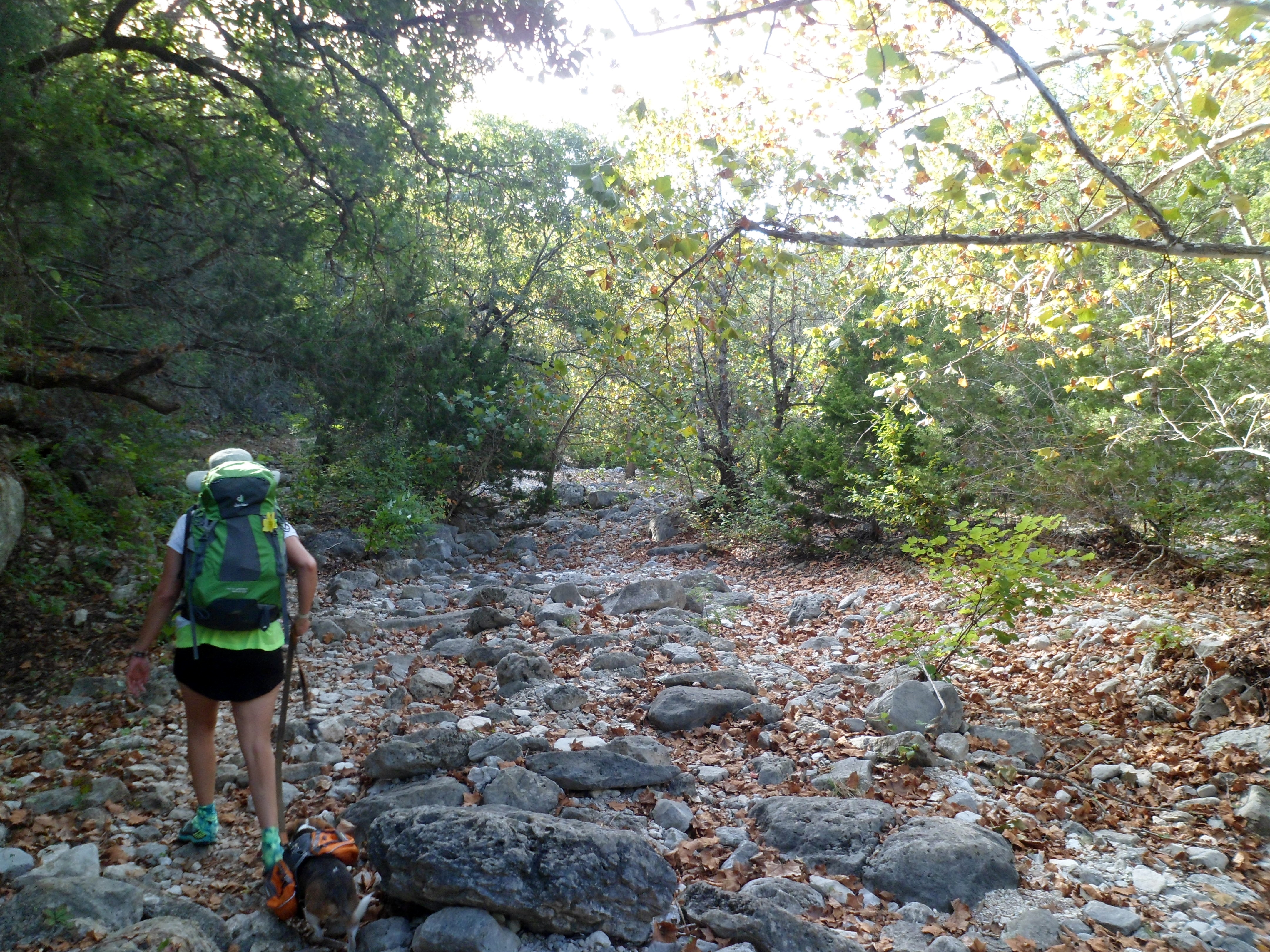
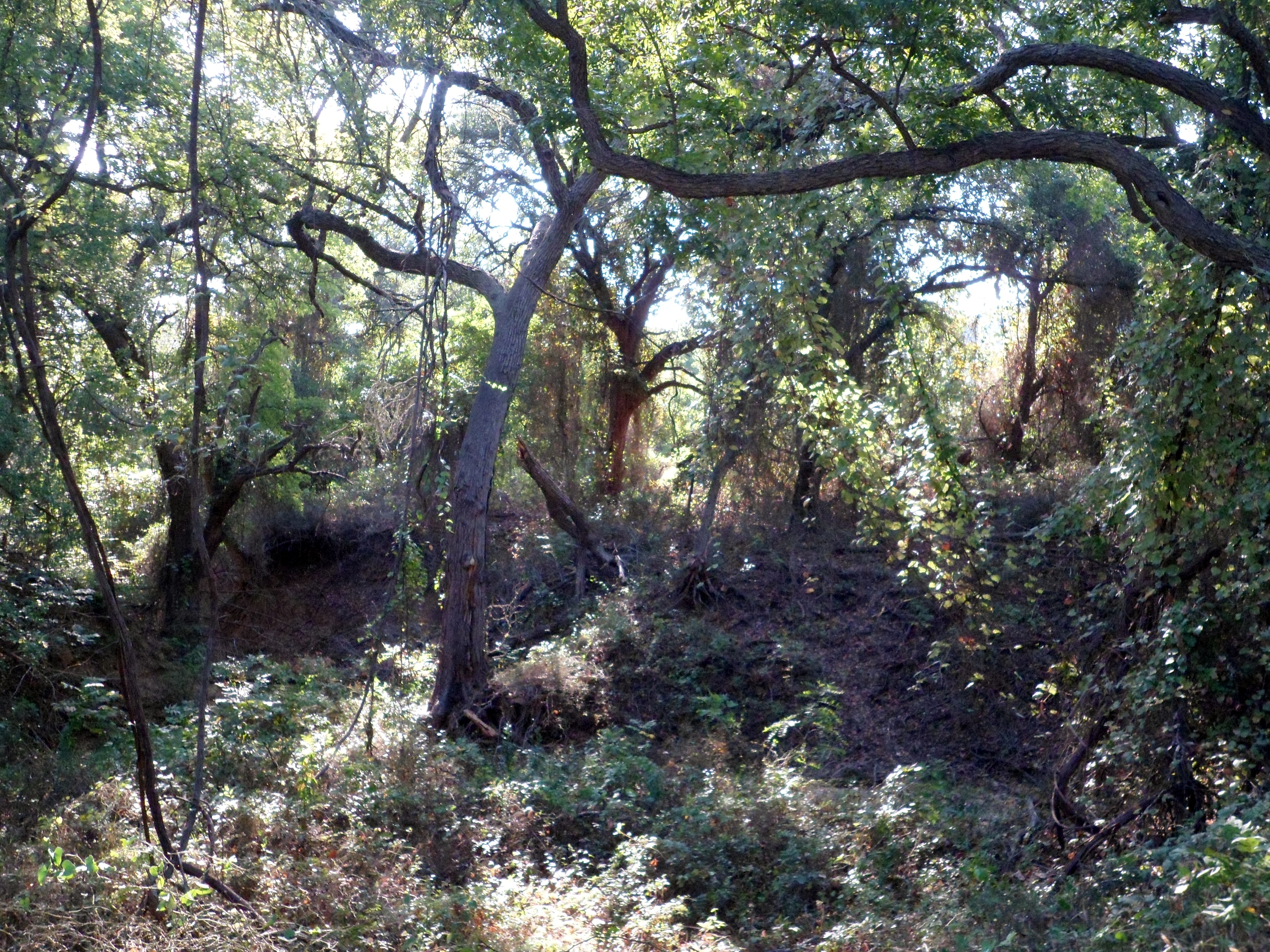
We started off on the Maple Trail, which takes you through the main stand of the “Lost Maples”: Bigtooth Maples, which are a holdover from the last Ice Age. The trails are very rocky and sometimes simply follow the dry creek beds.

Not long after, we came to Monkey Rock. It’s a huge natural rock formation that, well, looks like a monkey. The scale is hard to tell, but it’s probably 30 feet tall.

After Monkey Rock came the Grotto, which was very beautiful and is probably even better when the water is higher and dripping from the rocks.


We then came to the biggest climb of the hike, up to the top of a plateau overlooking the whole area. It was straight up and I was carrying Biff most of the way, since he is barred from climbing steps due to back surgery a few years back. We got to the top and took a break and enjoyed the breeze and the views.

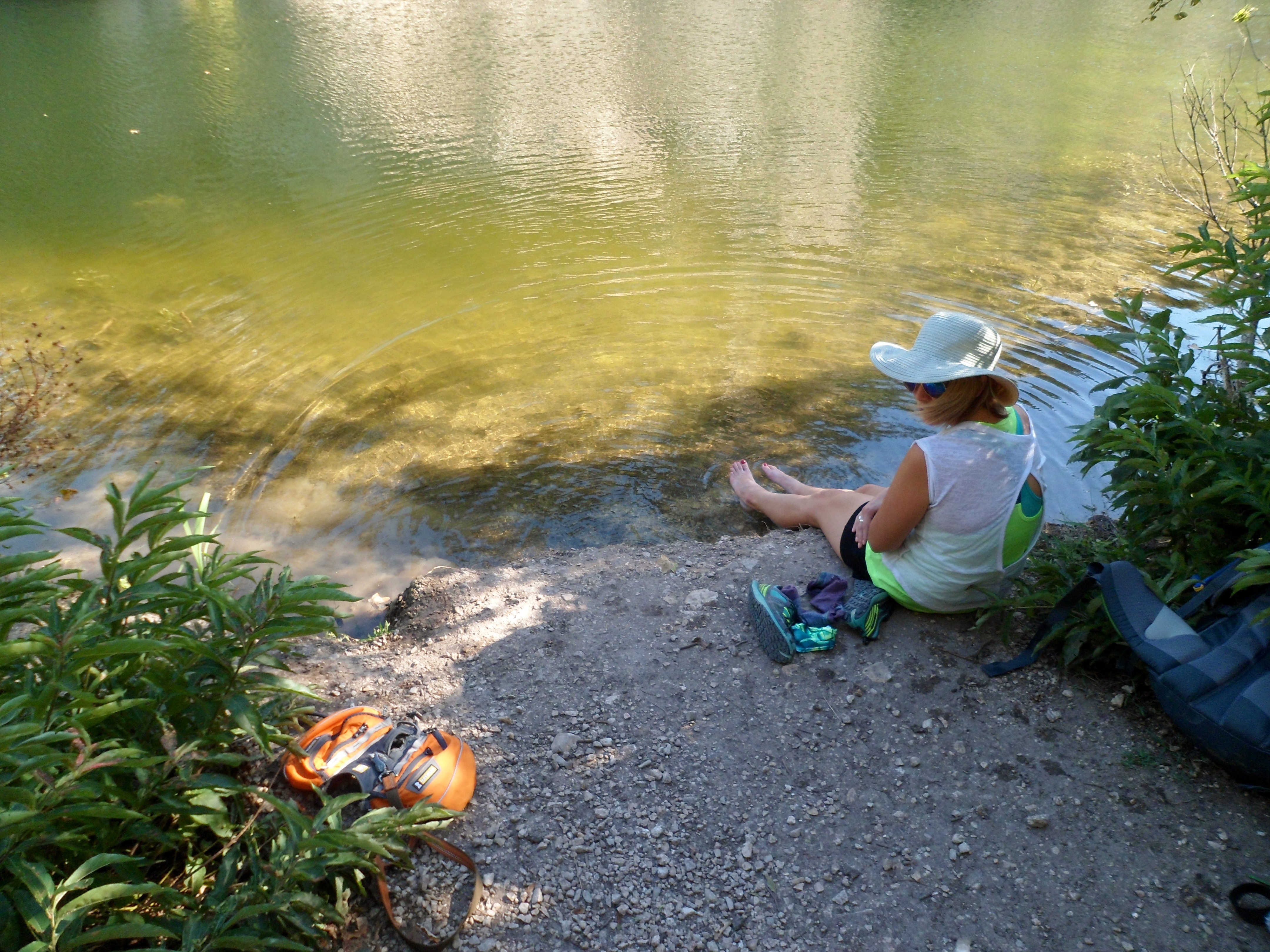
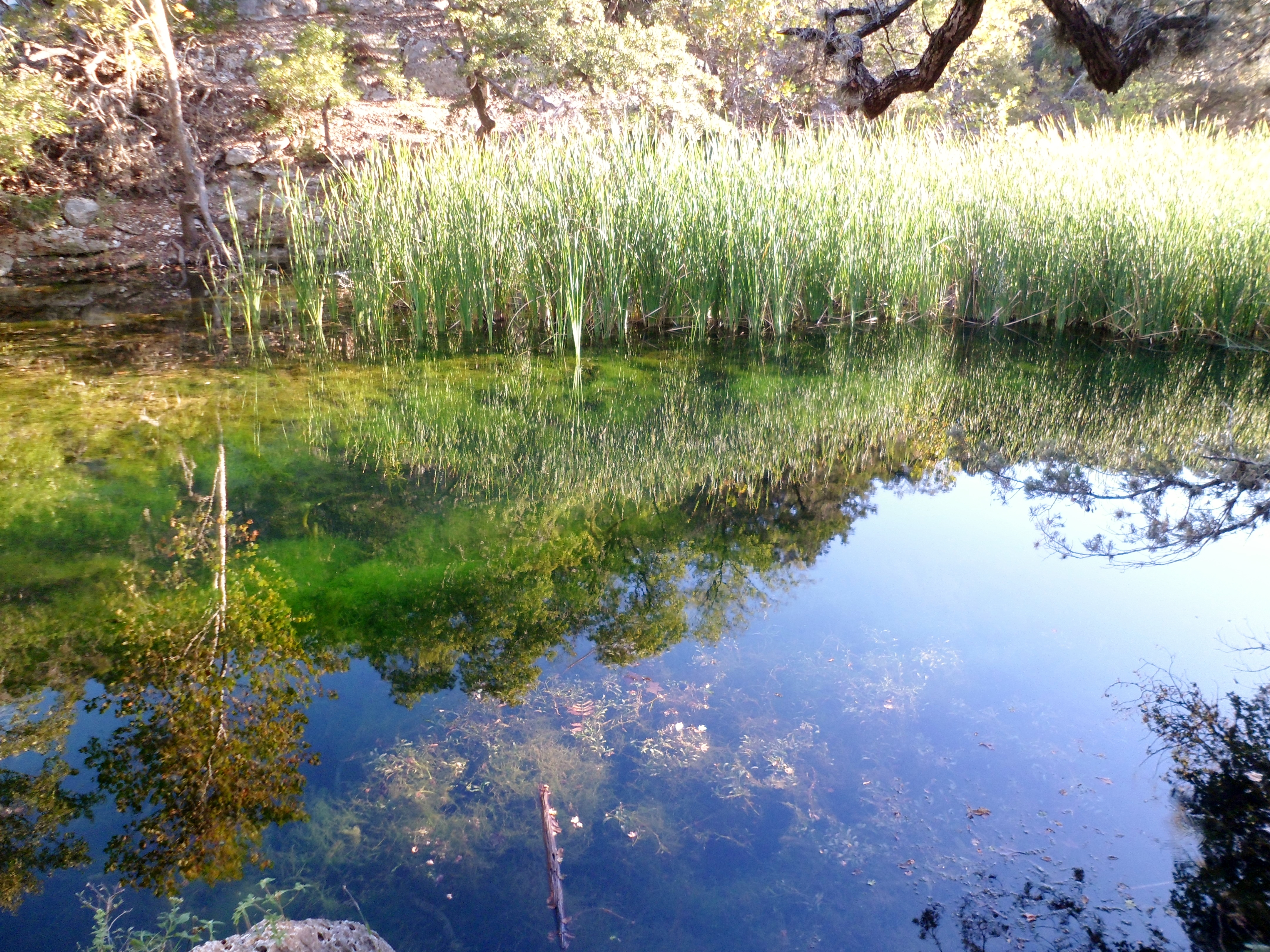
We walked along the plateau to a lookout point, but the sun was starting to beat down again and it was very exposed, so we continued on and took the difficult trail down, which was more of a vertical scree field than a trail. Finally at the bottom, we took another break at the primitive campsite next to the pond and filled up our bottles. The water was cold and felt great on our feet.


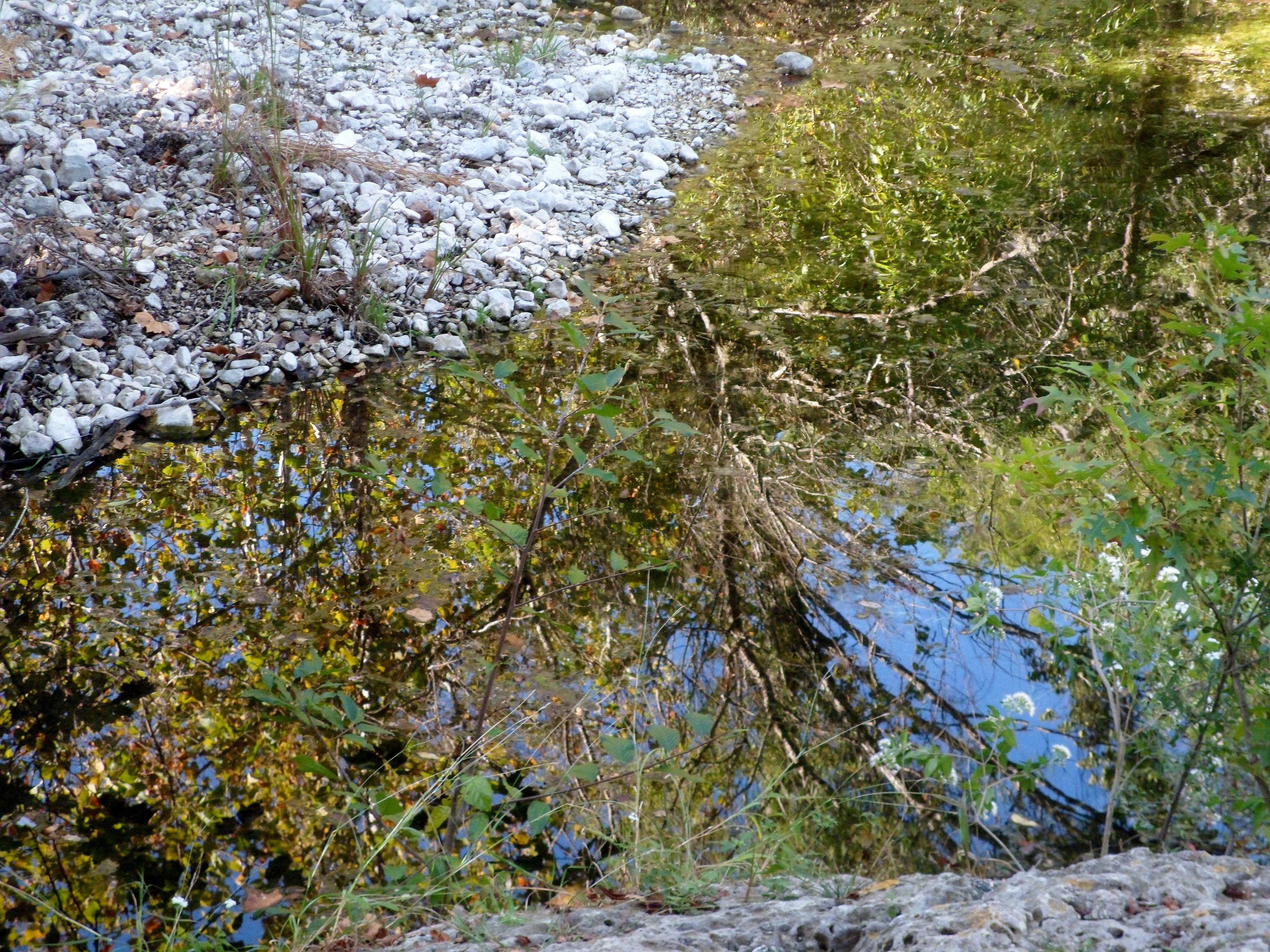
We continued on down the trail and basically followed the creek bed for most of the way to camp. On the way we passed a small pond with some great reflections.


We got to camp and set up, but used most of our water to cook and clean dishes, so we had to backtrack about a mile back to a spring to filter water so we had enough for breakfast the next morning. Having to really gauge our water use was a new experience.
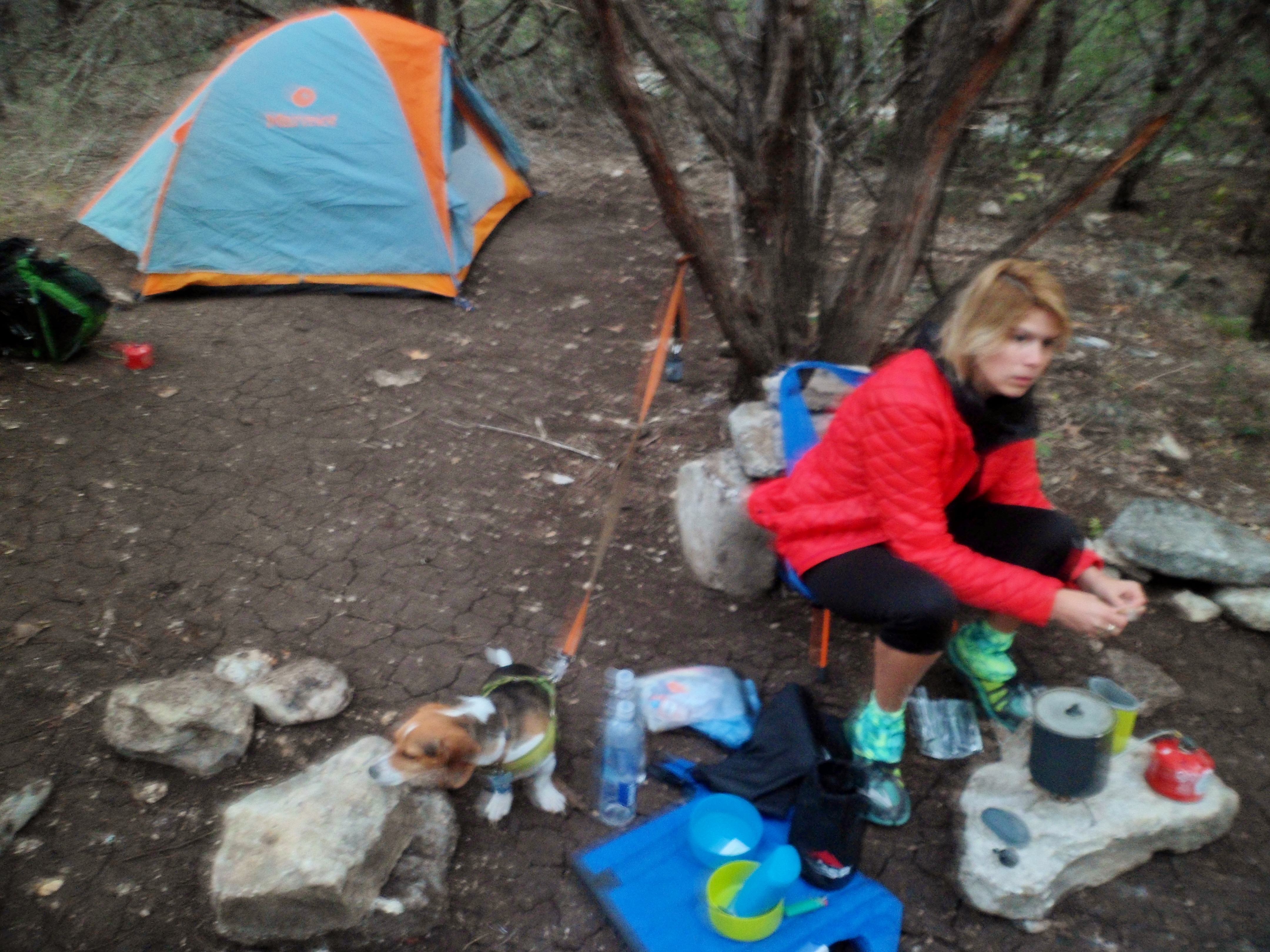

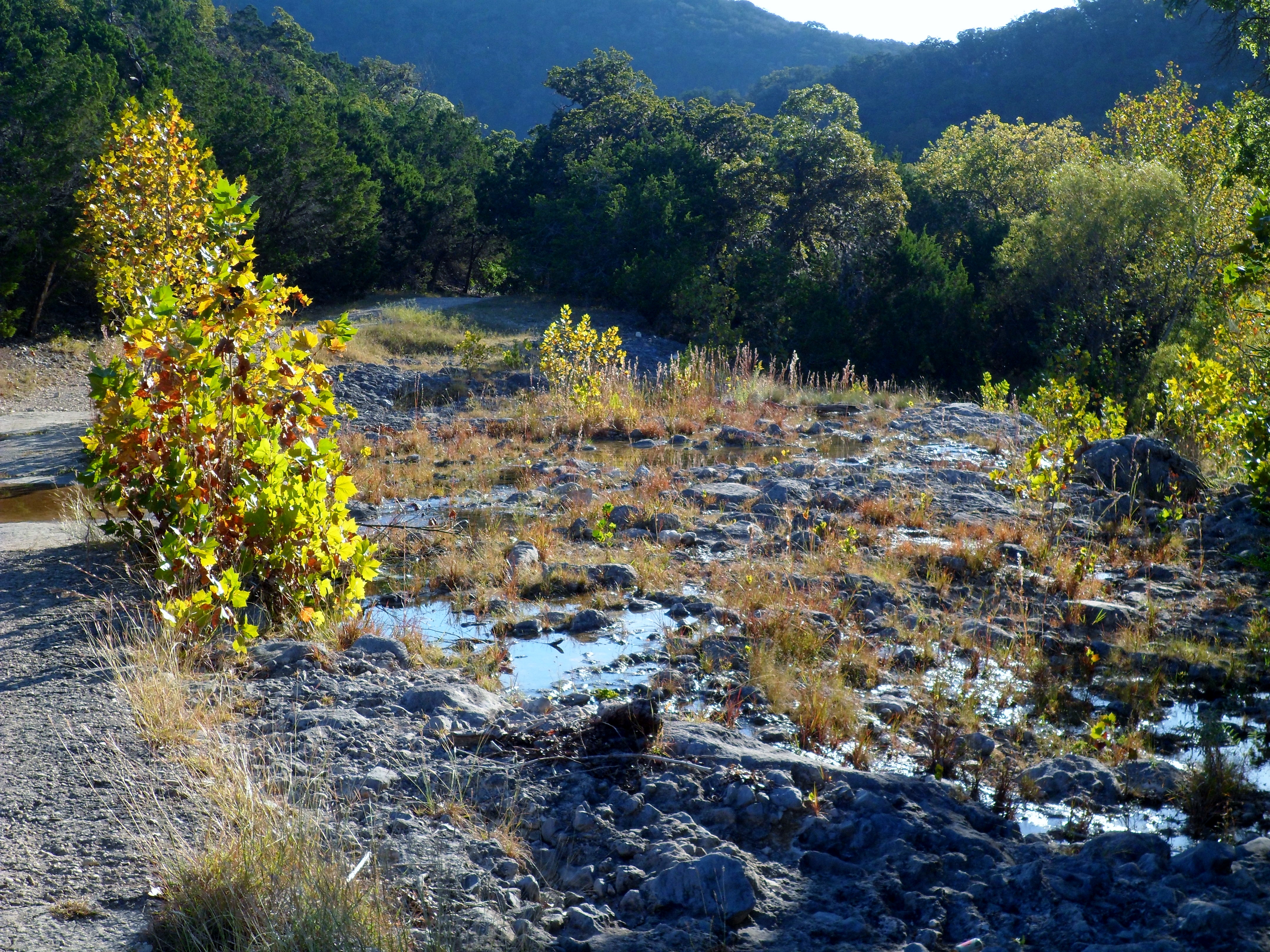
We woke up the next day with the sun. The temperature got down to the low 50s, but it felt quite a bit colder for some reason. We packed up pretty efficiently and headed back down the path we came. We had originally planned on doing the outer loop of the West Trail, but didn’t feel like another steep climb so early in the morning so we came back and took the flatter trail through the middle of the park. The sun hitting the valleys and trees created some great scenery on our way back to the car.


We did very well with full packs and really enjoyed the adventure. The crowds were not nearly what we were expecting. In fact, we only had a couple of neighbors in camp and ran into less than 10 hikers overall. Biff did well, but was definitely wiped out by the end and slept the whole way home. It wasn’t a super long trail, but was very good for our first official time out and gave us time to really get used to the gear and enjoy the experience. This will be the first of many I’m sure.

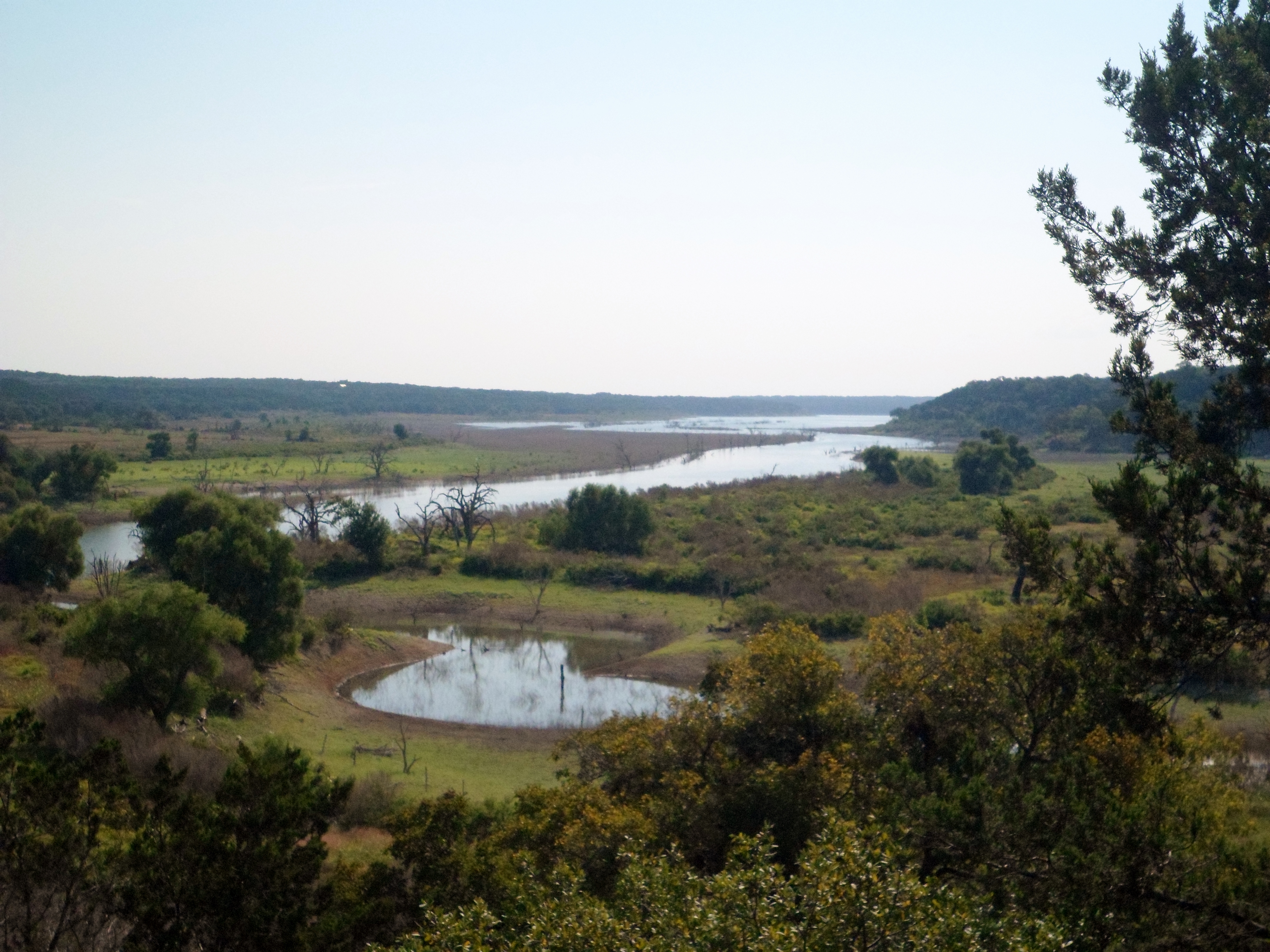
Lake Georgetown – Goodwater Trail – Tejas Camp Trail Head 9/25/15
Friday, September 25, 2015
Hike: Lake Georgetown – Goodwater Trail – Tejas Camp TH, Georgetown, TX
Weather: clear, HOT, mid-90s, 100+ heat index
Hikers: Ian, Court
Length: 9.41 miles
Summer refuses to leave Texas. The high was only supposed to be 93, but in the sun it got up to 102. This did not make for an easy hike. But we put our heads down and powered through. This is the 3rd section of the Goodwater Trail I have hiked. Court has done two. This section was exposed and in direct sun about 80% of the time. There was only one good wooded part and the rest was in wide open prairie with tall grass.


We first started from Tejas Camp and took the trail that was directly in front of the trail head sign, which one would assume is the correct trail. Well, one would be wrong. This was actually a hunting trail that dead ended into a deer blind about a half mile in. So we re-traced our steps and found the actual trail behind the campground on the other side of the parking lot. After heading the wrong direction on THAT trail for a short distance we finally figured it out and headed down the path we had originally intended to hike.


The trail paralleled the river for a bit, but never got too close. We are still waiting for El Nino to pick back up this fall so it has been very dry and the lake is once again very low. We finally got to the woods and gained some elevation with a couple of decent lake views.


The woods were short lived and we were back in the beating sun for a while. When we got back to some shade it was time to take a break and we sat down and ate some lunch. We were both pretty beat already and decided to call the hike a little early and head back the way we came. Court was really tired at this point, so I took on her pack as well for a little while.


There were lizards and grasshoppers galore and we also saw an armadillo rooting around just off the trail. Armadillos are strange little animals.


This was certainly a hard hike, especially for Courtney. Some days your body just doesn’t cooperate. I enjoyed it, but I think we are both extremely ready for cooler weather. On another note, our Enlightened Equipment Accomplice double quilt came in the mail and we now have our gear list officially complete. We have non-hiking plans the next two weekends, but then we are going to Lost Maples for our first real backpacking overnight. Very excited.
Western Oaks Trail, Dick Nichols Park 9/19/15
Saturday, September 19, 2015
Hike: Western Oaks Trail, Dick Nichols Park – Austin, TX
Weather: warm, mid 80s, humid
Hikers: Ian, Court
Length: 3.07 miles
We did a short hike in the morning to test out Court’s new pack, the Deuter ACT Zero 45 +15 SL. I also took the opportunity to use my Exos 58 again with a few adjustments from last time. Mine rode much better with tighter shoulder straps and a better packing job. Court had a few kinks to work out, just like I did on my first test. She’ll get it dialed in before Lost Maples though. We are working on finding a good way to split the gear. My pack will be a bit heavier at around 16 or 17 pounds as of now, with Court’s coming in at just over 12. Food, water, and fuel will add a bit, but I’m pretty happy with our base pack weights so far.


This trail was ok. It is pretty far south in Austin, off Davis Lane. It is pretty flat and has a main trail that is crushed gravel and fairly wide. There is a different trail that parallels the main trail that goes deeper in the woods, which we took most of the way back. Not a whole lot to report, as it is pretty much a neighborhood trail, but it was nice to get out in the woods to test the new pack.


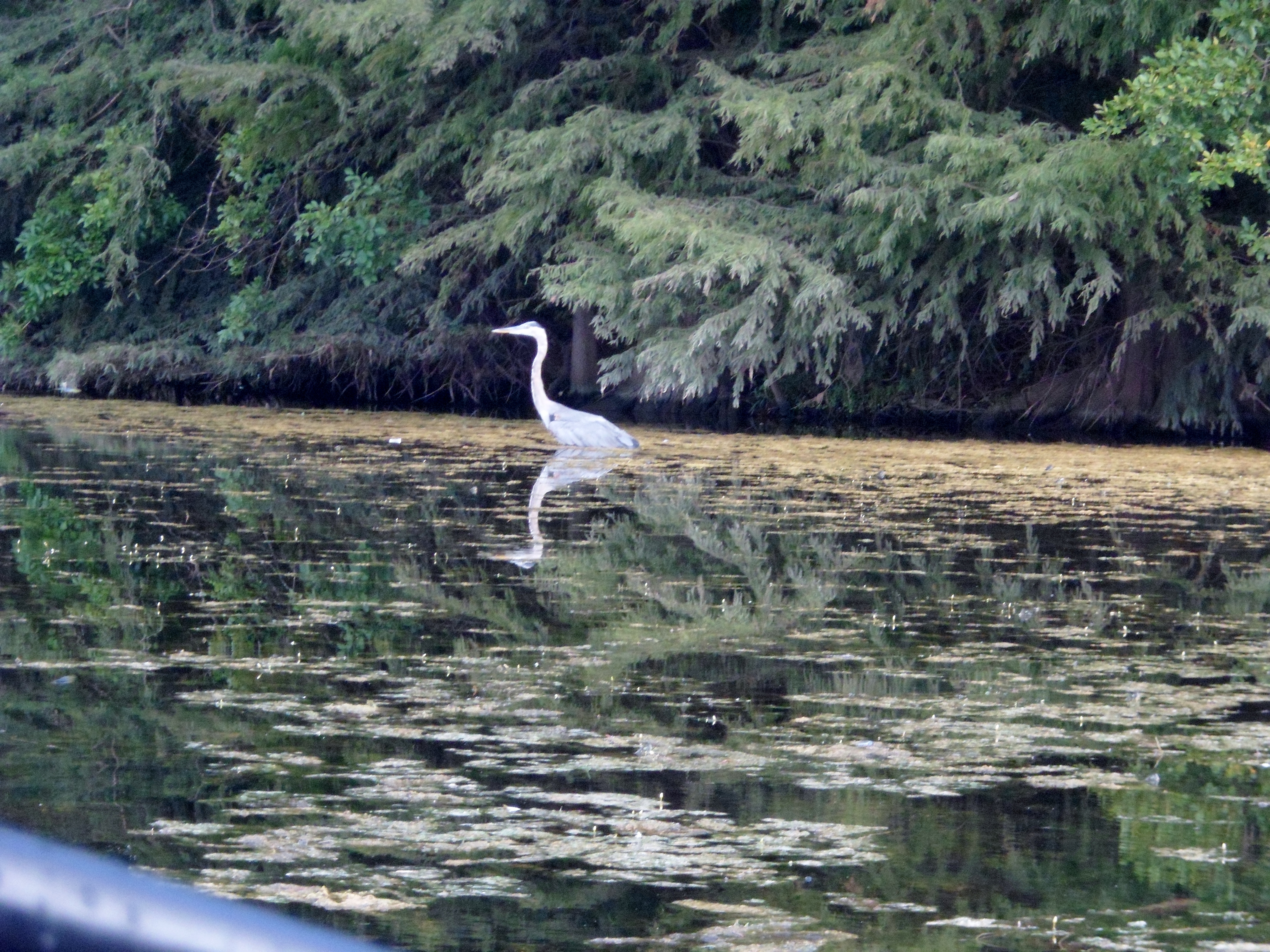
Town Lake Kayak 9/4/15
Friday, September 4, 2015
Town Lake Kayak – Austin, TX
Weather: partly cloudy, warm, humid
I suppose this doesn’t have to be just a hiking blog. After all, it is entitled (for the moment) “wanderings”. Court and I woke up early on the first day of a four day weekend and headed out to Town Lake to kayak. Technically, it is Ladybird Lake, but it will always be Town Lake to me.
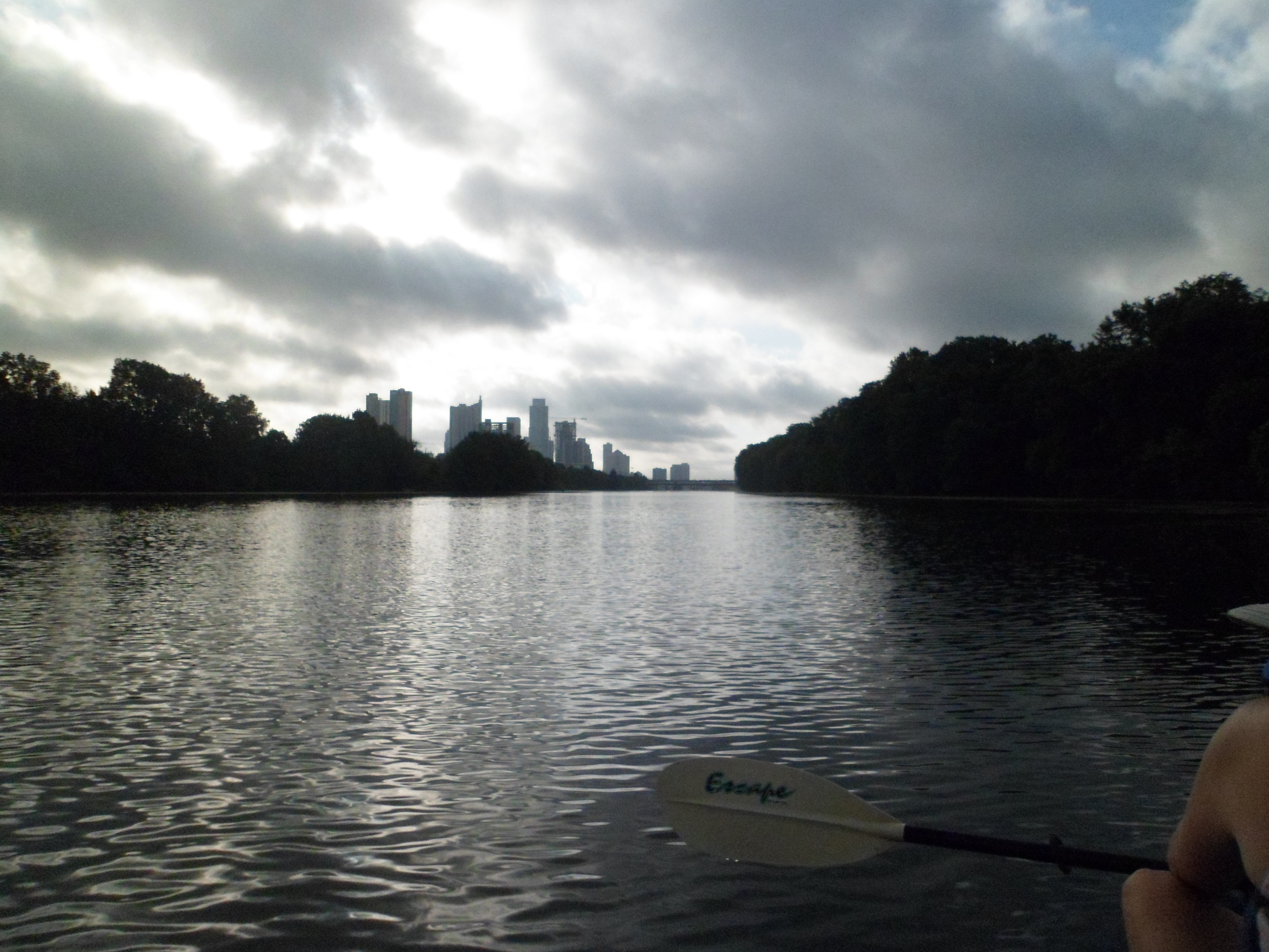
We went to the Texas Rowing Center and rented a double kayak. We were some of the only people there around 8am and were in the water within a couple of minutes. At first it was a bit tough, trying to get adjusted and figuring out the paddling pattern between the two of us, but we learned quickly.


It was a beautiful morning and there were very few people on the water with us, save a few other kayaks and fishermen. The weather was partly cloudy, which was nice because the sun was pretty harsh even though it was relatively early. Lots of turtles. We first paddled around to Lou Neff point near Barton Springs. The water around the point was really clear and we could see all the fish and turtles up close.


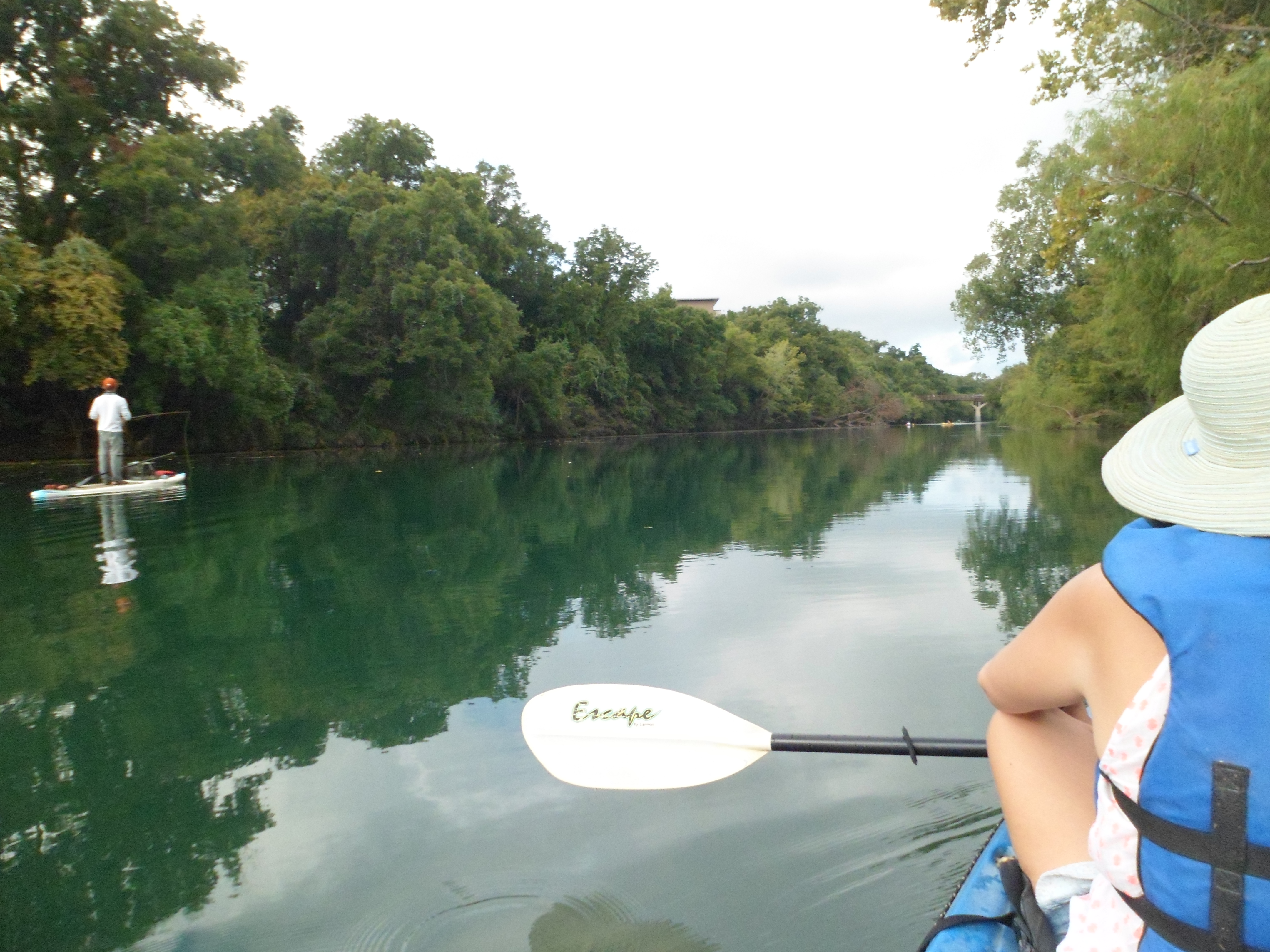
We then turned around and went back under the Mopac bridge before coming back to the dock. We only stayed out for about an hour and a half, but it was very peaceful and beautiful. We want to return soon and paddle further west over near Redbud. This was a great start to the long weekend. Another hike coming up later this weekend, not sure where yet though.


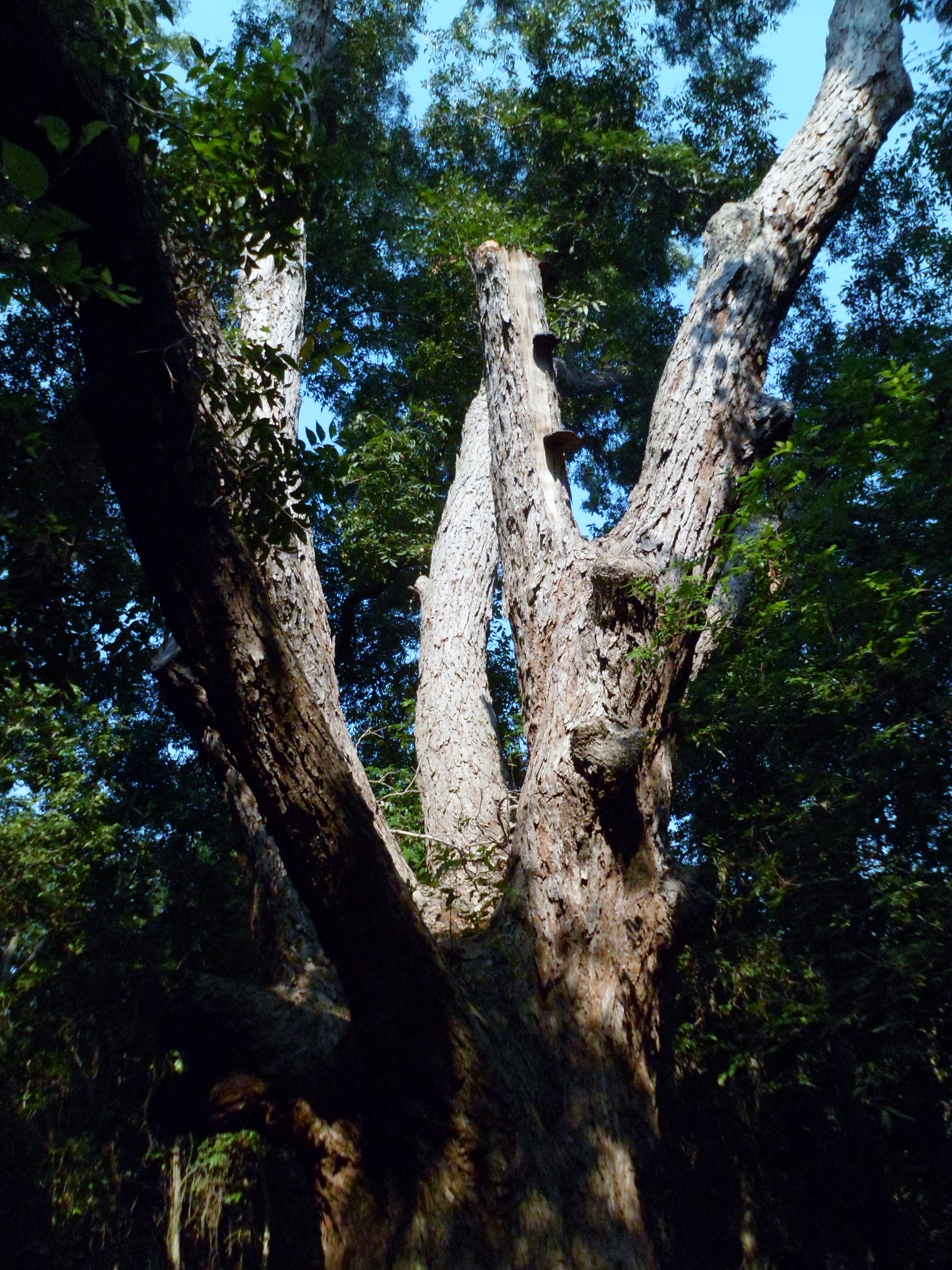
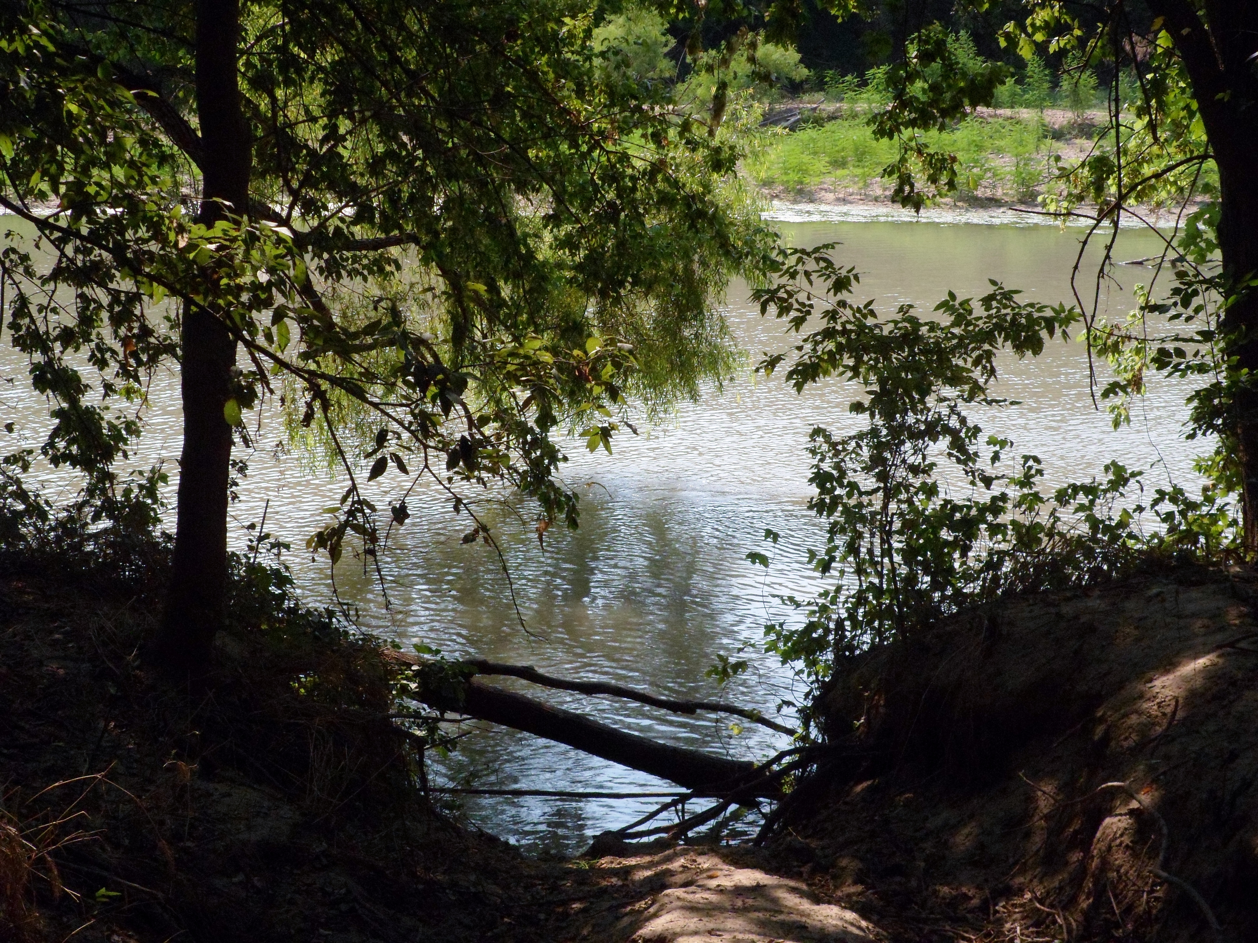
McKinney Roughs 8/29/15
Saturday, August 29, 2015
Hike: McKinney Roughs Nature Park, Wyldwood, TX
Weather: clear, sunny, warm
Hikers: Ian, Court, Biff
Length: 5.45 miles
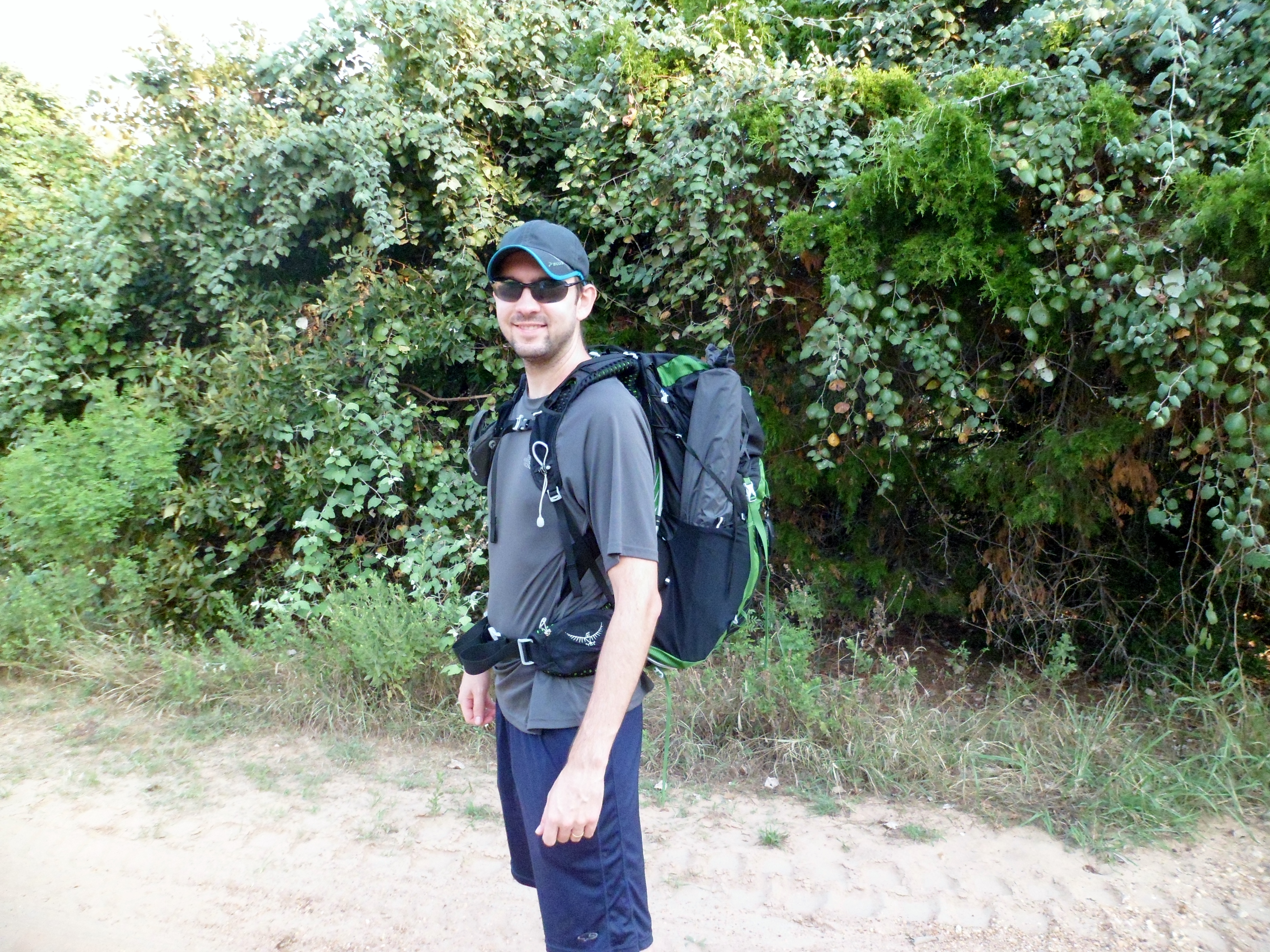
I finally got my backpacking backpack (Osprey Exos 58) and today was the first test run. I loaded it with all of the equipment I would need (minus the cook set) for an overnight in cold weather, just to test out the max load. There is still some tweaking that I need to figure out as far as packing logistics go, but it felt pretty good. Maybe a few more adjustments to the straps as well before I am totally comfortable. There is certainly a difference between a day pack and a fully loaded multi-day pack though. Happily though, my base pack weight came in at just under 19 pounds.
This was our second hike at McKinney Roughs and we did a different part of the park this time. We stuck to mostly equestrian trails, which were a lot wider, but still pretty challenging in parts. We pretty much had the trail to ourselves.
The trail started easy and down into a valley, but went uphill pretty quick. There was some kind of scat all over the trails and it wasn’t from horses. We never did figure out what left it. The trail led up to a nice overlook of the Colorado River, called Meditation Point, where we took our first break.


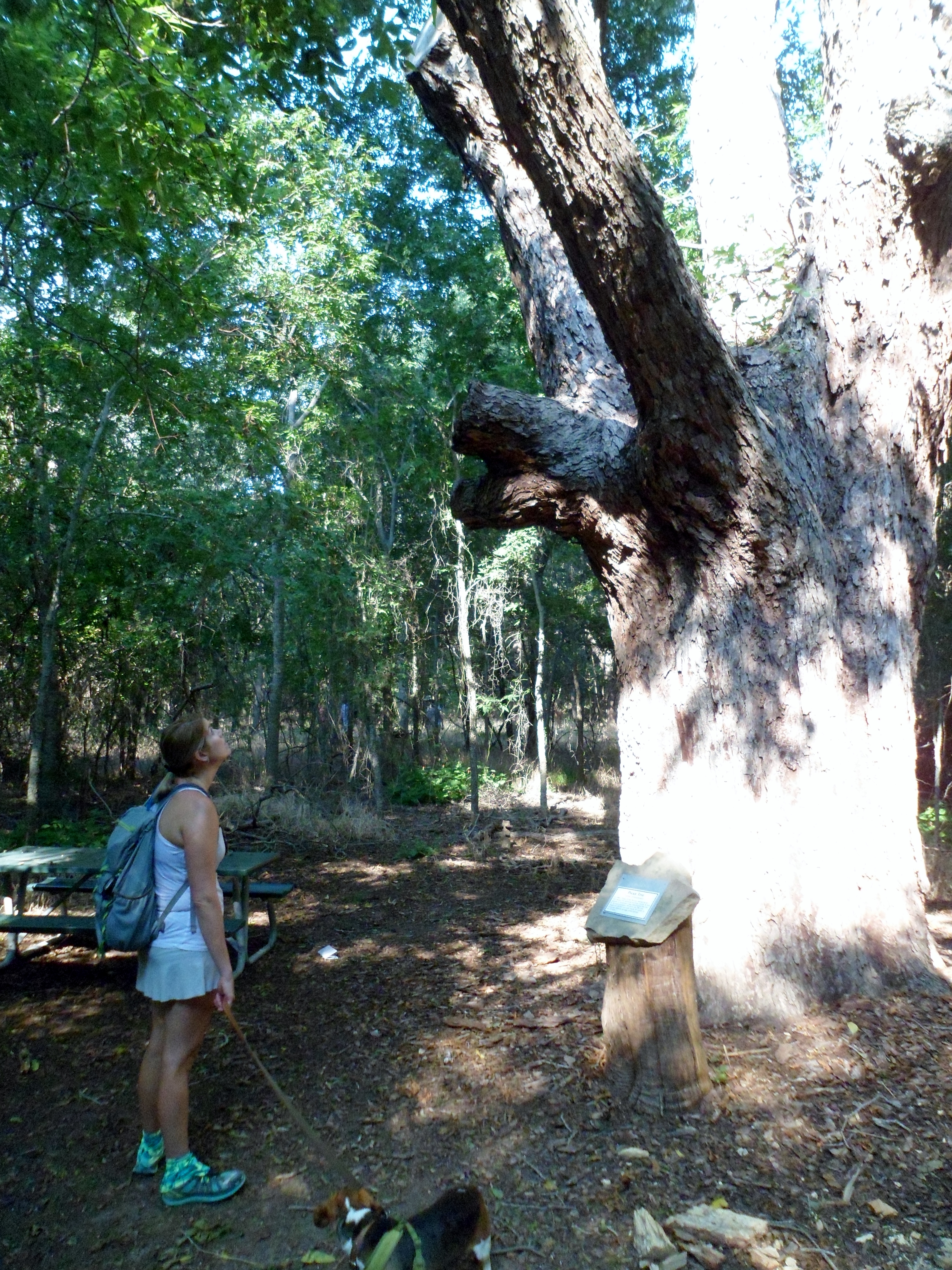
From there the trail headed back down towards the river. The trail is nice and shaded and bordered by many flowers. We both agreed this is a very underrated park. On the way down to the river bottom we passed by the biggest tree in the park, a pecan tree over 200 years old.


When we got near the river we took another break and had a small lunch of cantaloupe, grapes, and granola before heading back towards the trail head. Unfortunately, this side of the park doesn’t follow the river too much, so we only caught a glimpse of it up close. We also saw a tiny gnome someone had left along the trail and Court was very happy. She loves gnomes.


We had a pretty steep climb back up toward the trail head. The day was hot, but not as overbearing as it has been the past few weeks. Hopefully fall is just around the corner. It is still Texas though, but at least low 90s would be appreciated.


I was pretty happy with how the pack rode, but as I said, it still needs some tweaking. We have our first overnight in the back country reserved for mid-October, so I’ve got some time to dial it in. Also, the last piece of the gear puzzle is being made as we speak: a double quilt from Enlightened Equipment, The Accomplice. We are both very excited about this item. It should arrive near the end of September. It’s been a two year gear gathering process and I think next we are going to get Court her own pack so we can split the gear a bit more evenly. Looking forward to starting to backpack in earnest.


Recent Comments