Pierce Wanderings
Texas Hiking (and elsewhere)
Westcave Preserve Uplands and Violet Crown Trail 4/15/17
Saturday, April 15, 2017
Hike: Westcave Preserve Uplands and Violet Crown Trail
Weather: sunny, pleasant, mid 70s
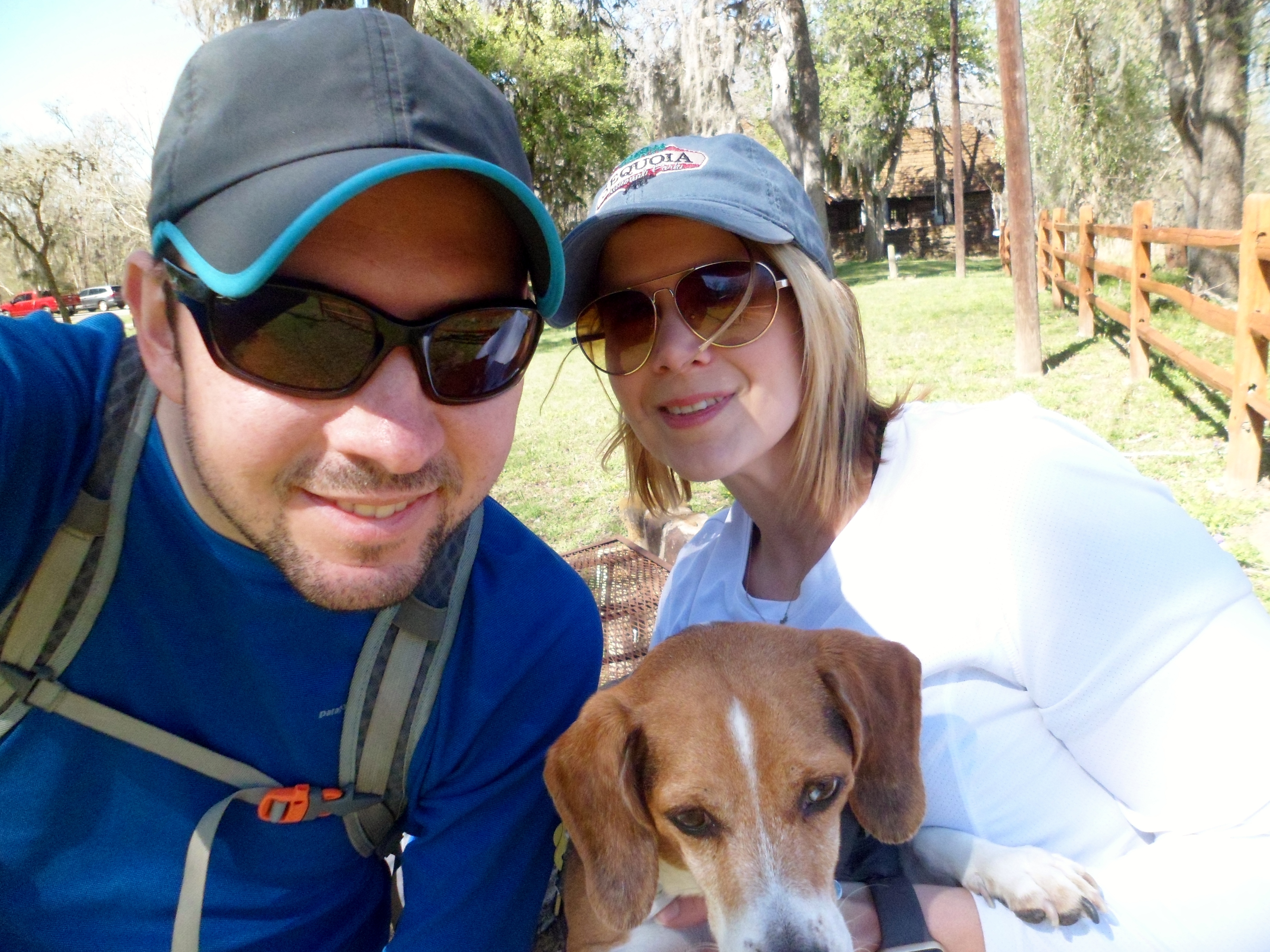
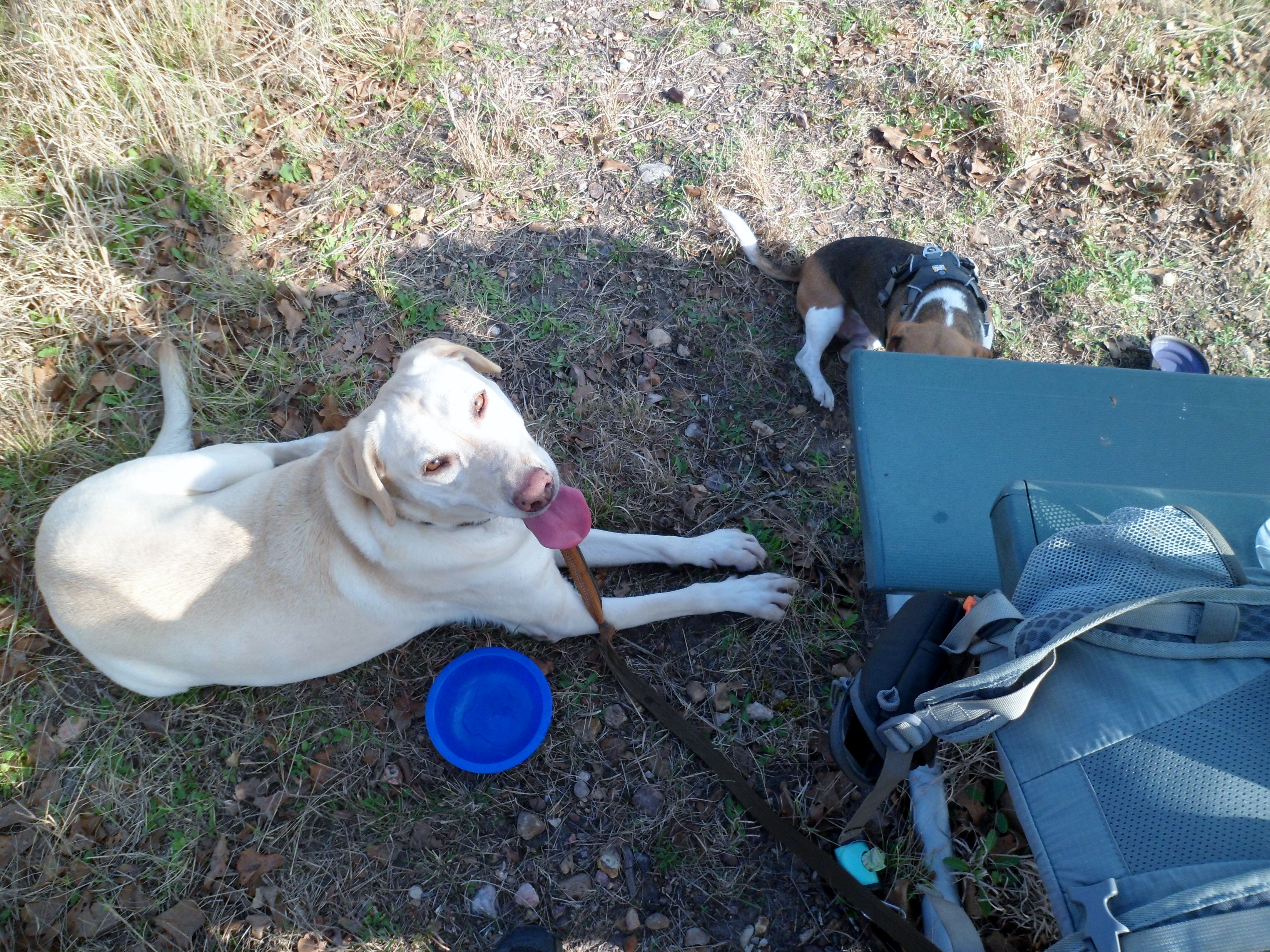
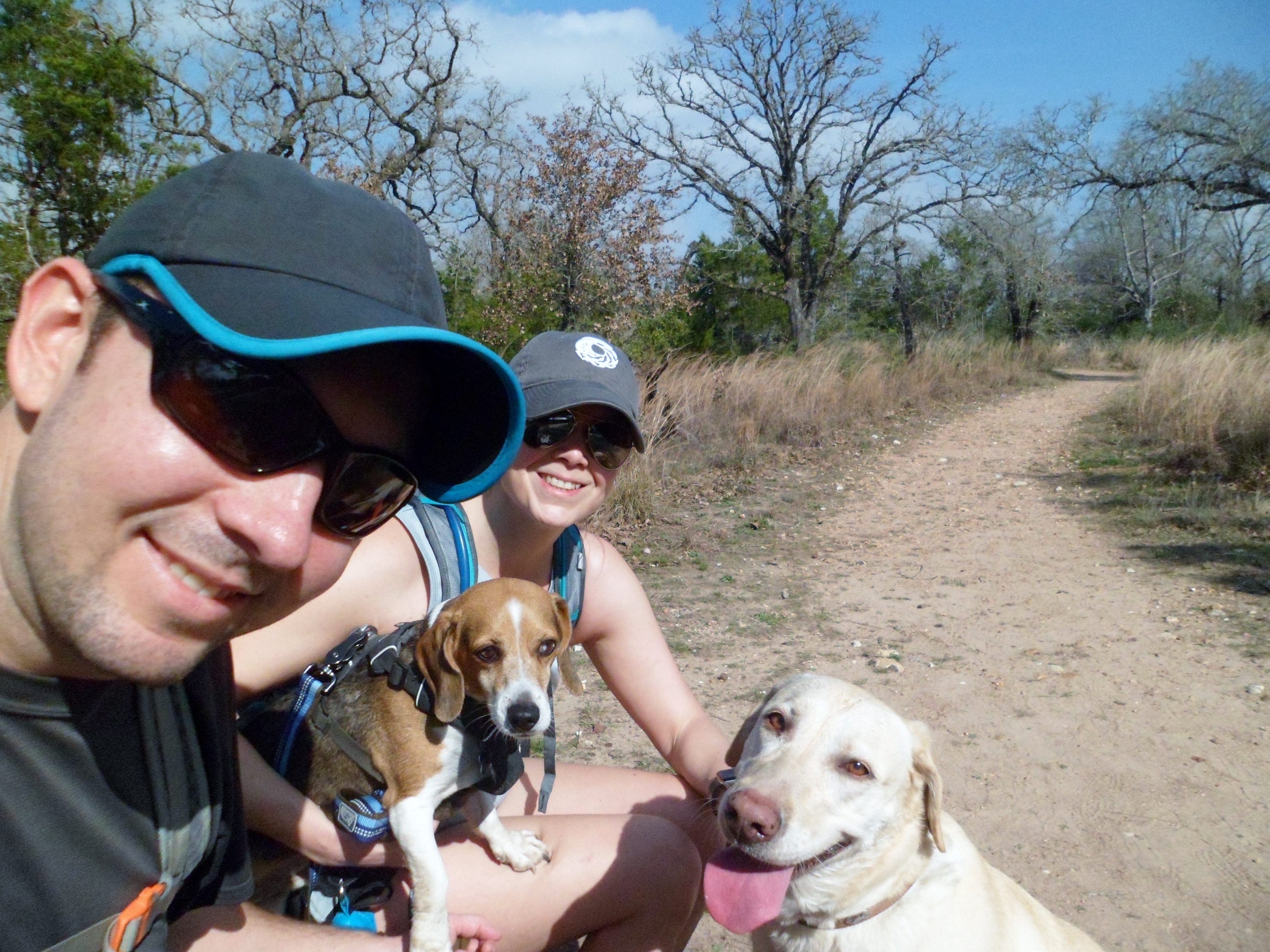
Hikers: Ian, Court, and Sara
Length: about 3 miles combined
We had planned to go out to Westcave Preserve, near Hamilton Pool and Reimer’s Ranch, to take the guided tour to see the grotto. Guided tours are required because of the fragility of the area. However, on beautiful days like this, apparently you have to show up more than 10 minutes early for the 10am tour, as we just missed the cut off (30 people). It would have to wait for another day.
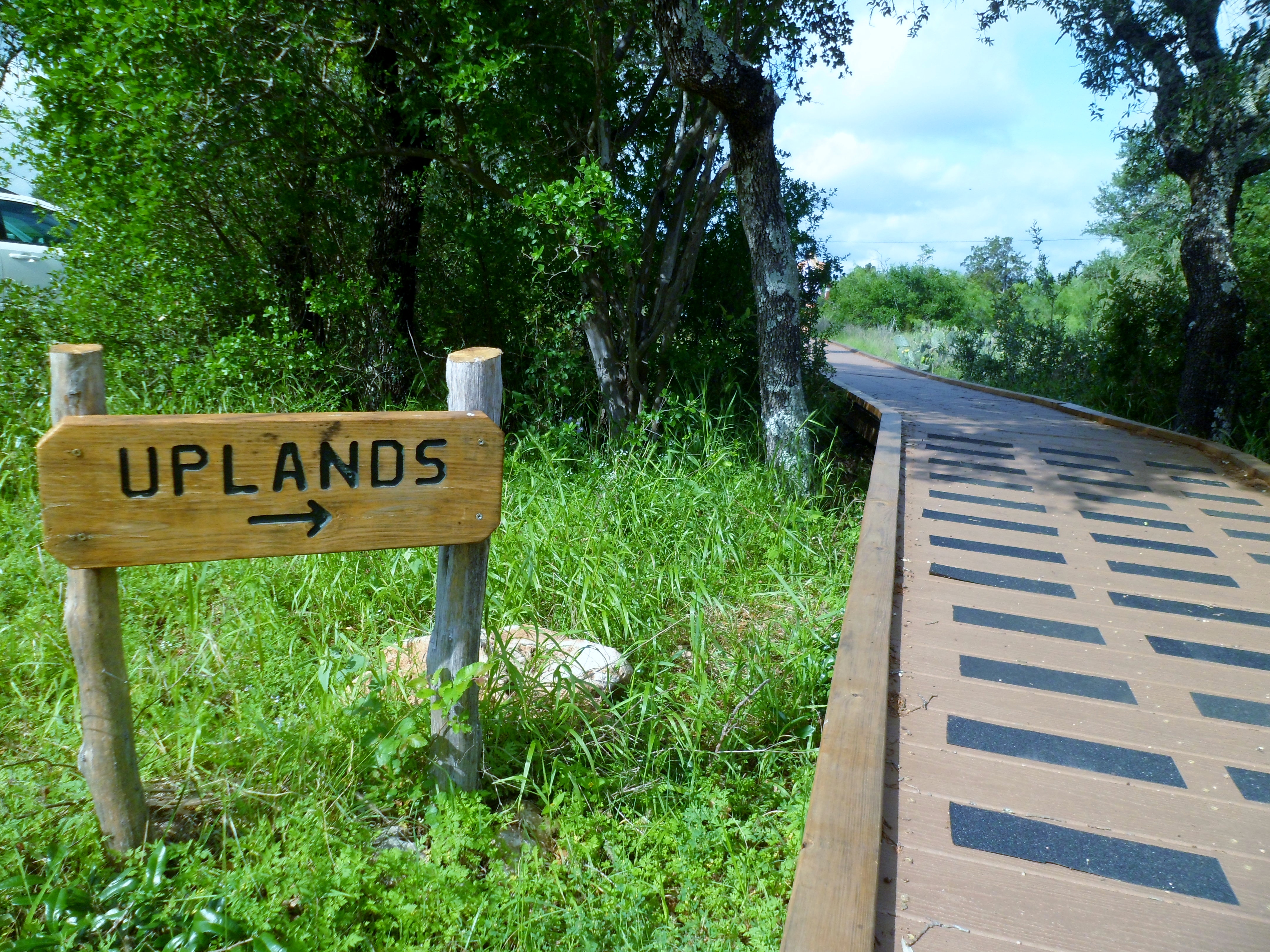
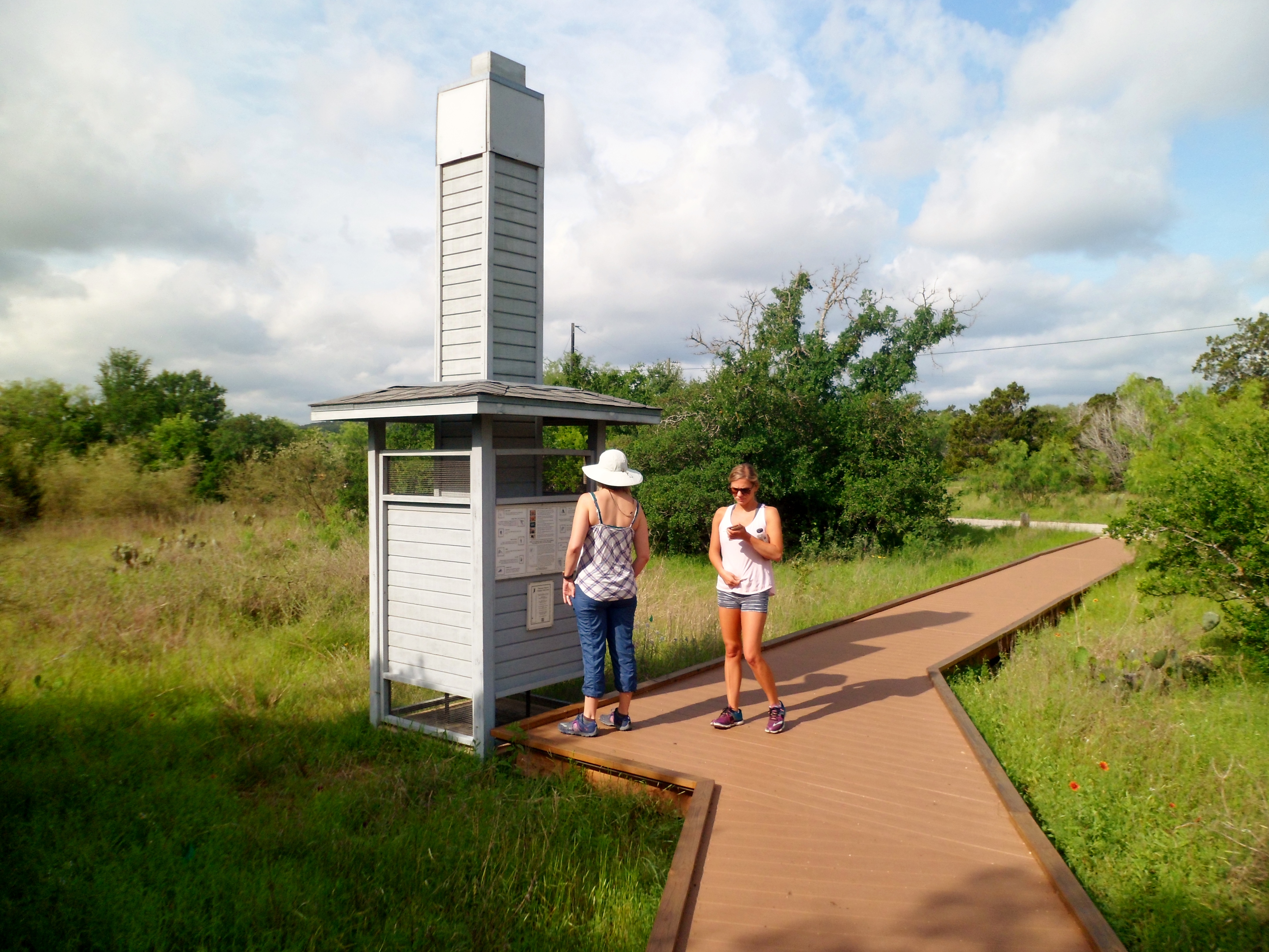
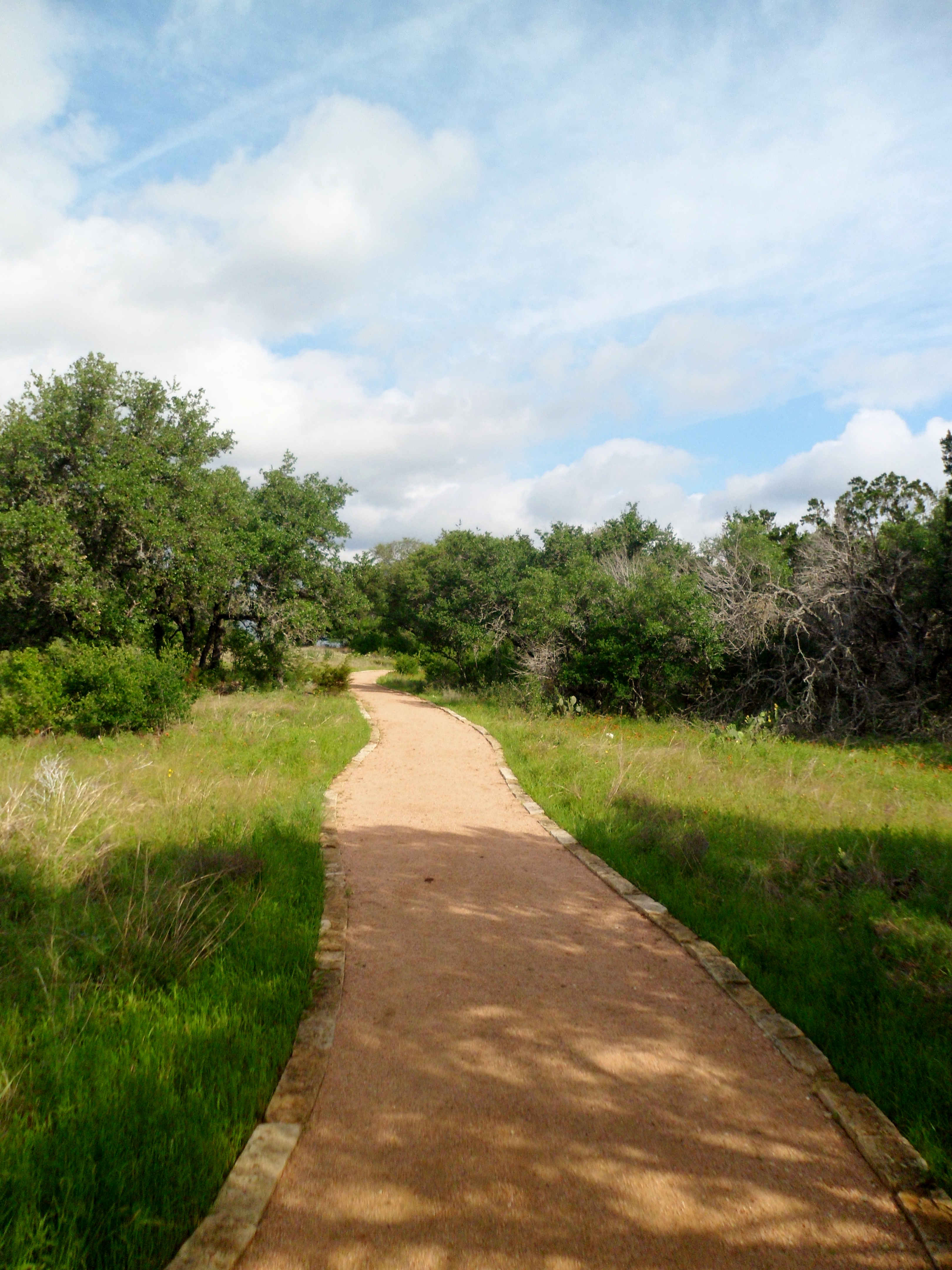
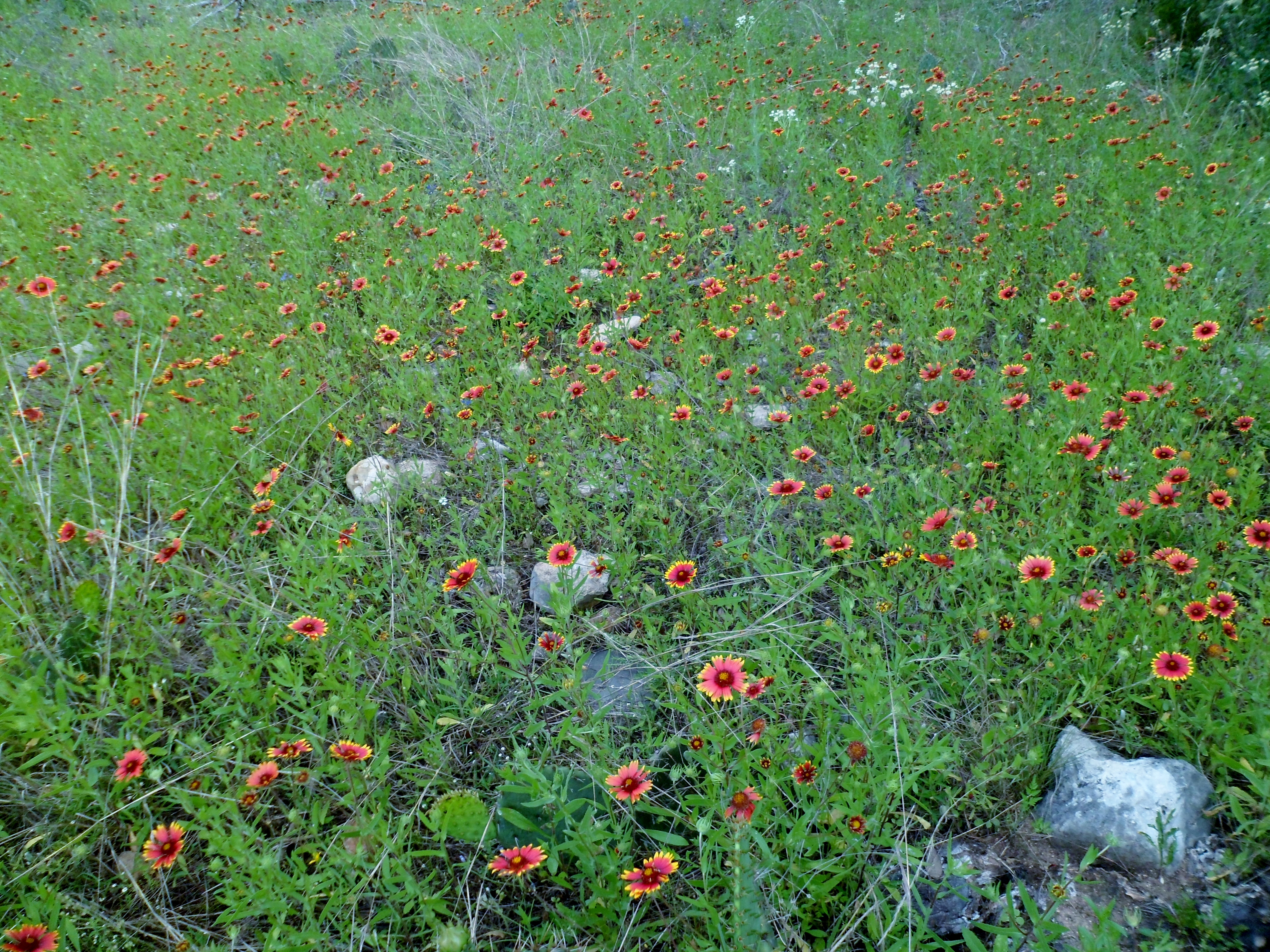
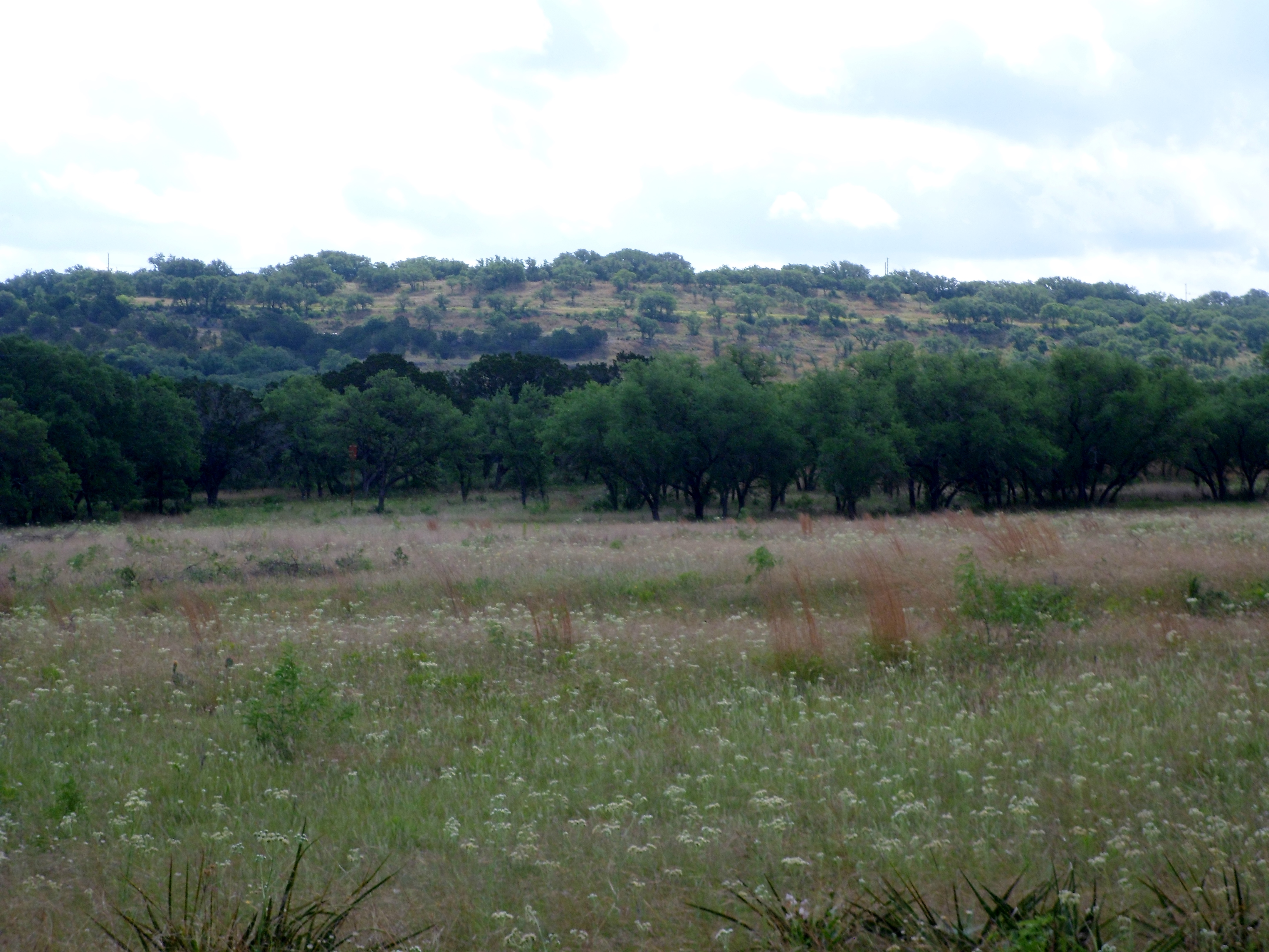
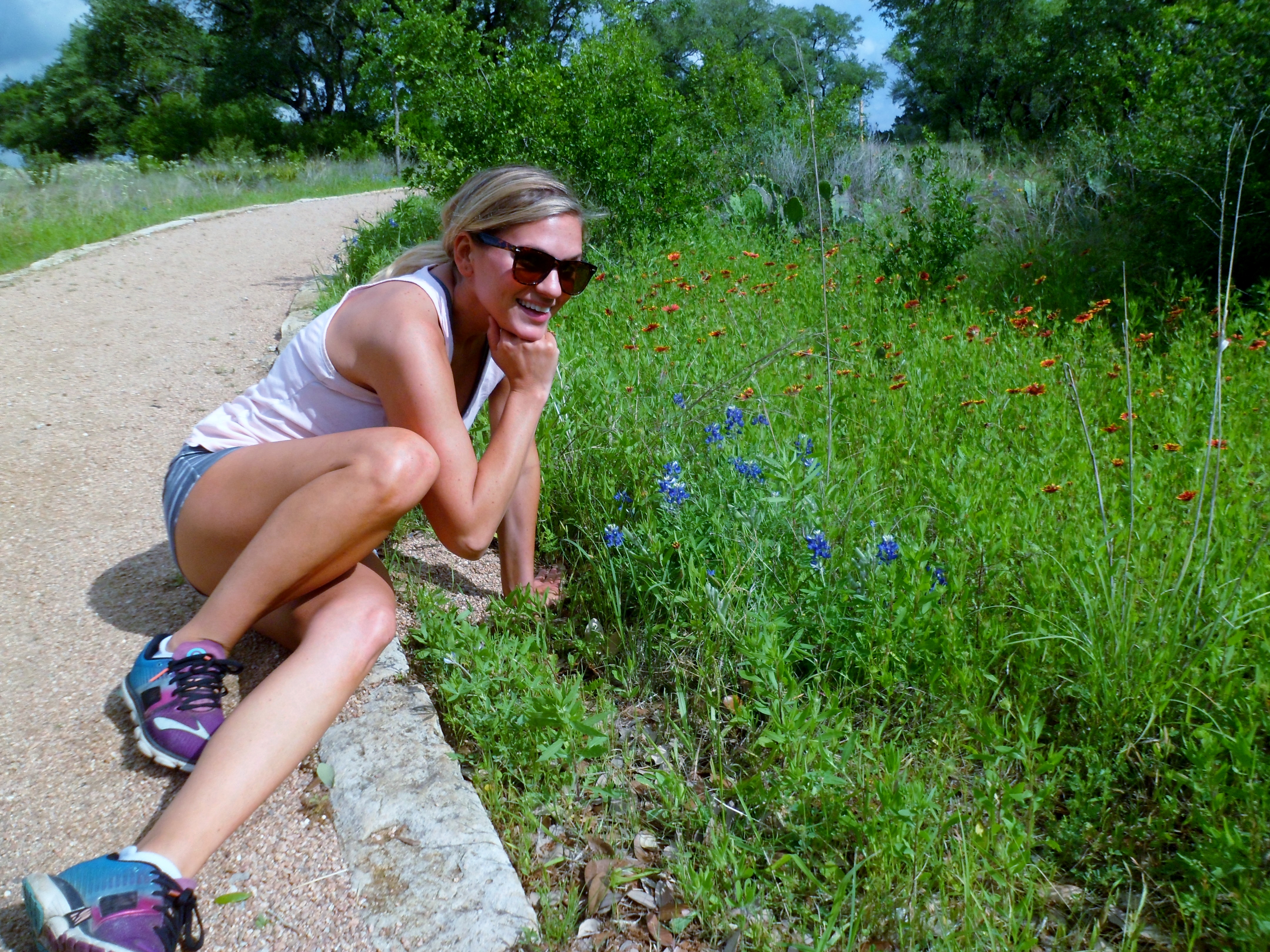
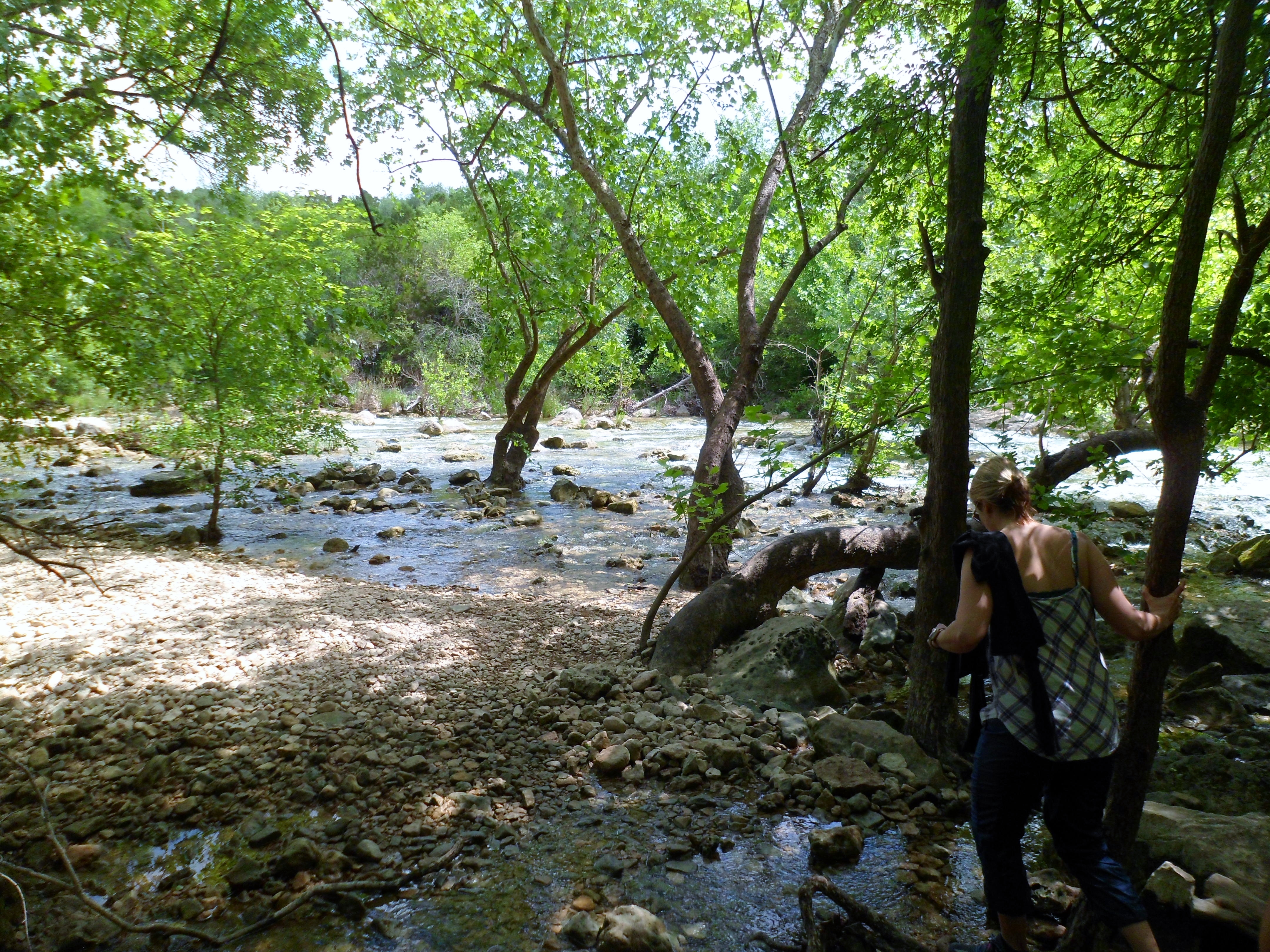
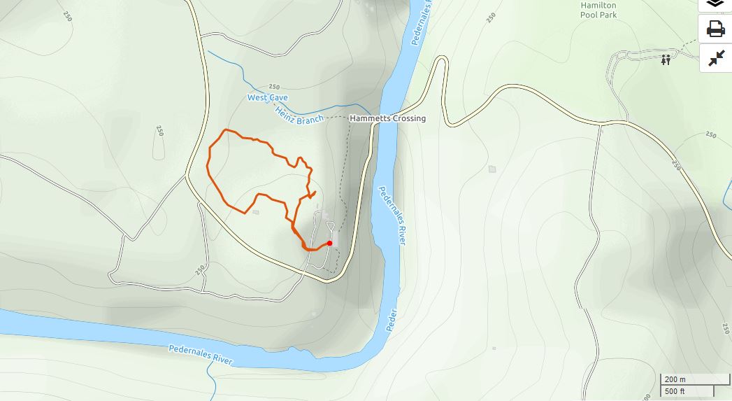
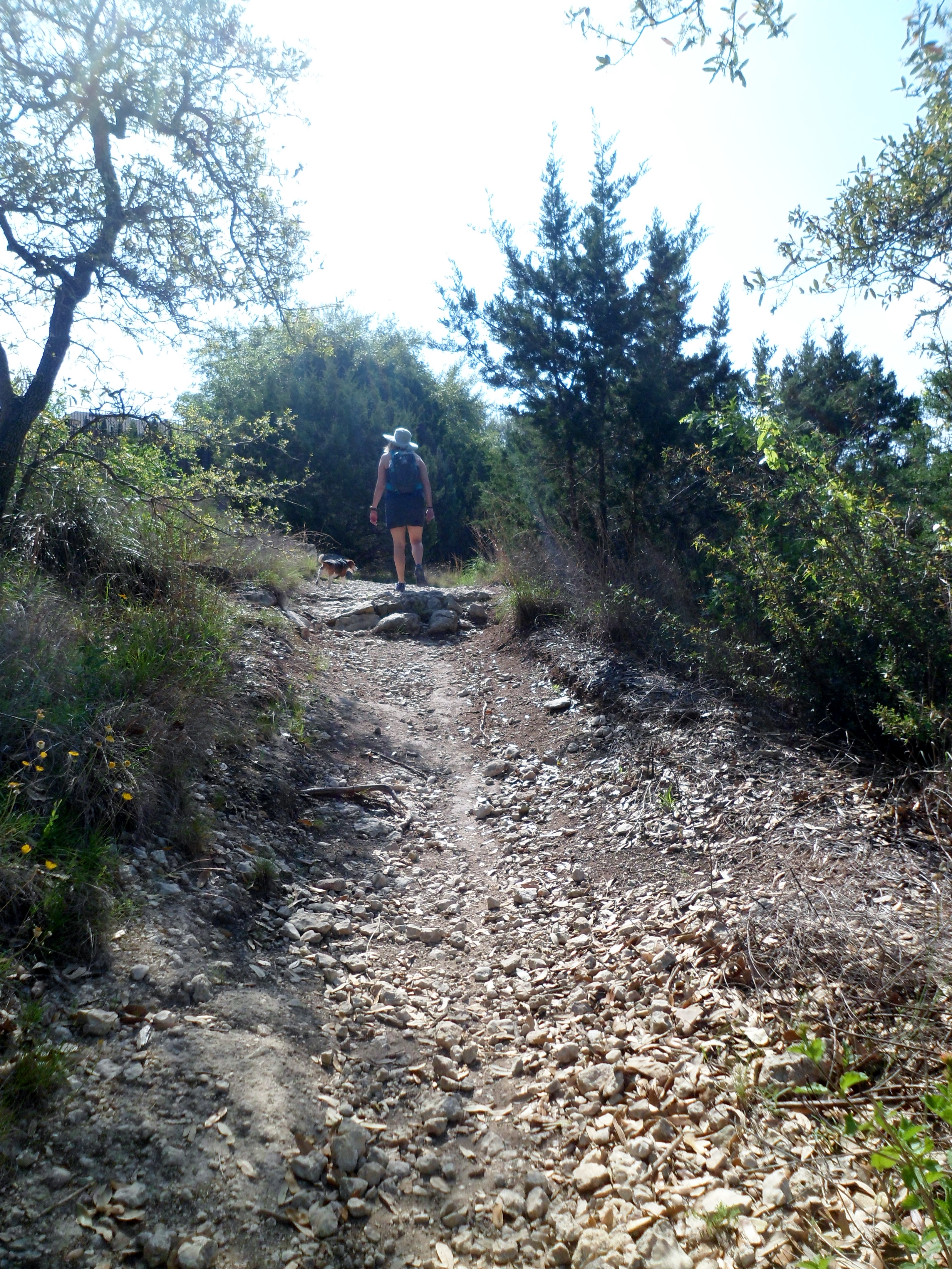
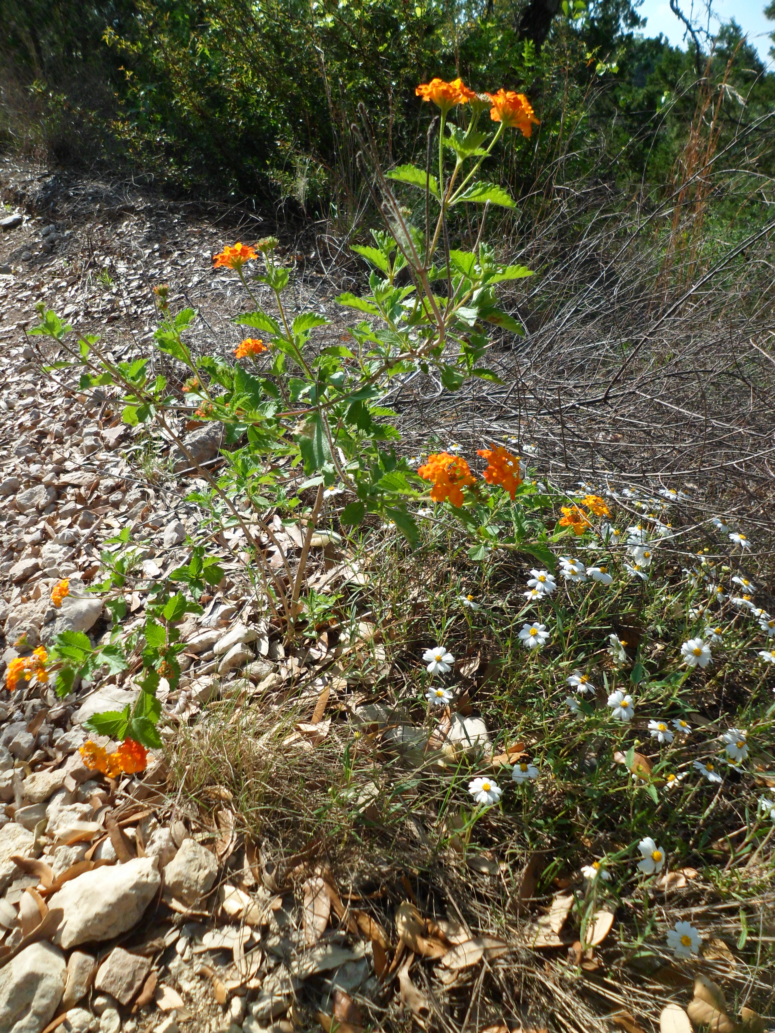
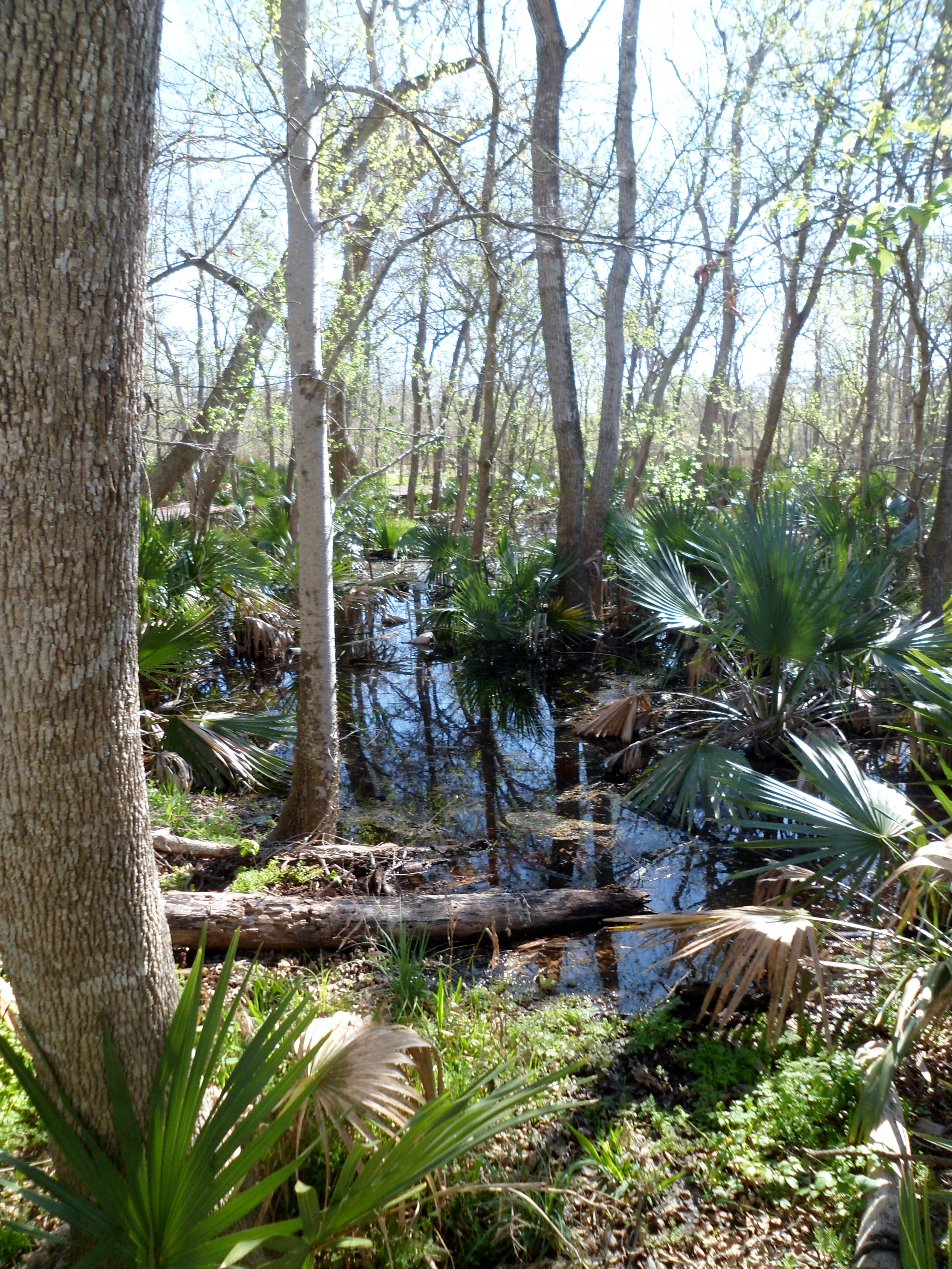
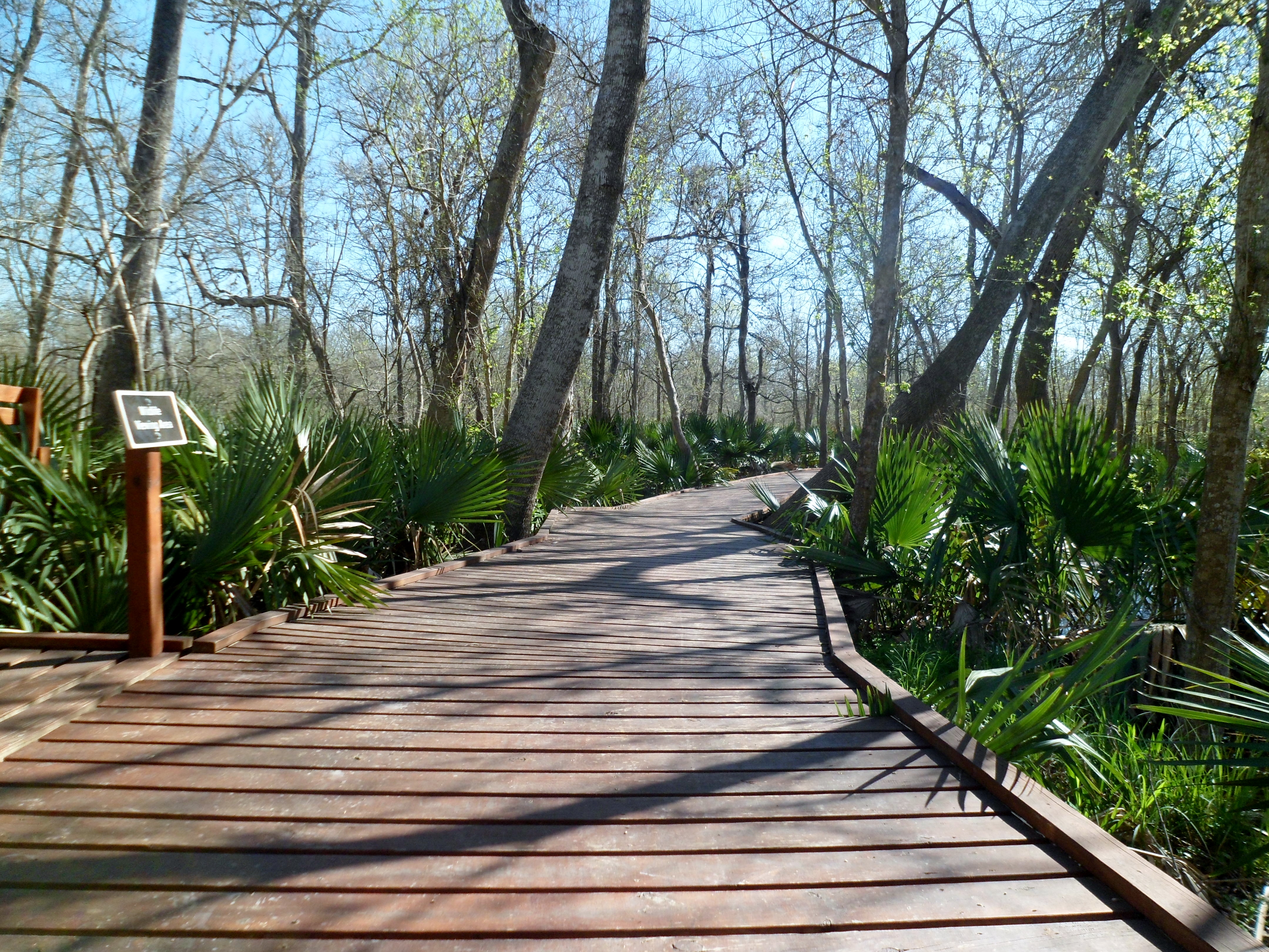
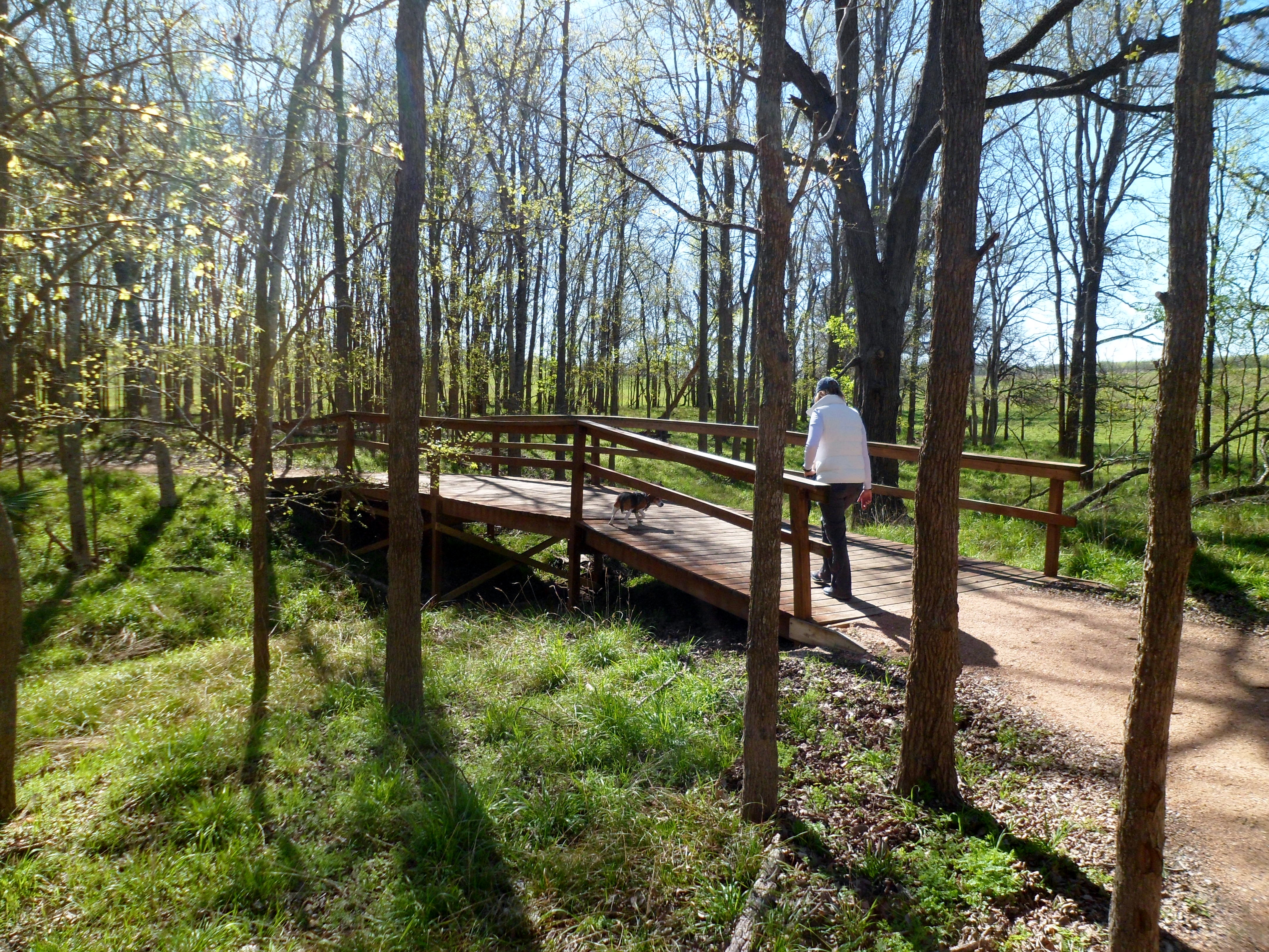
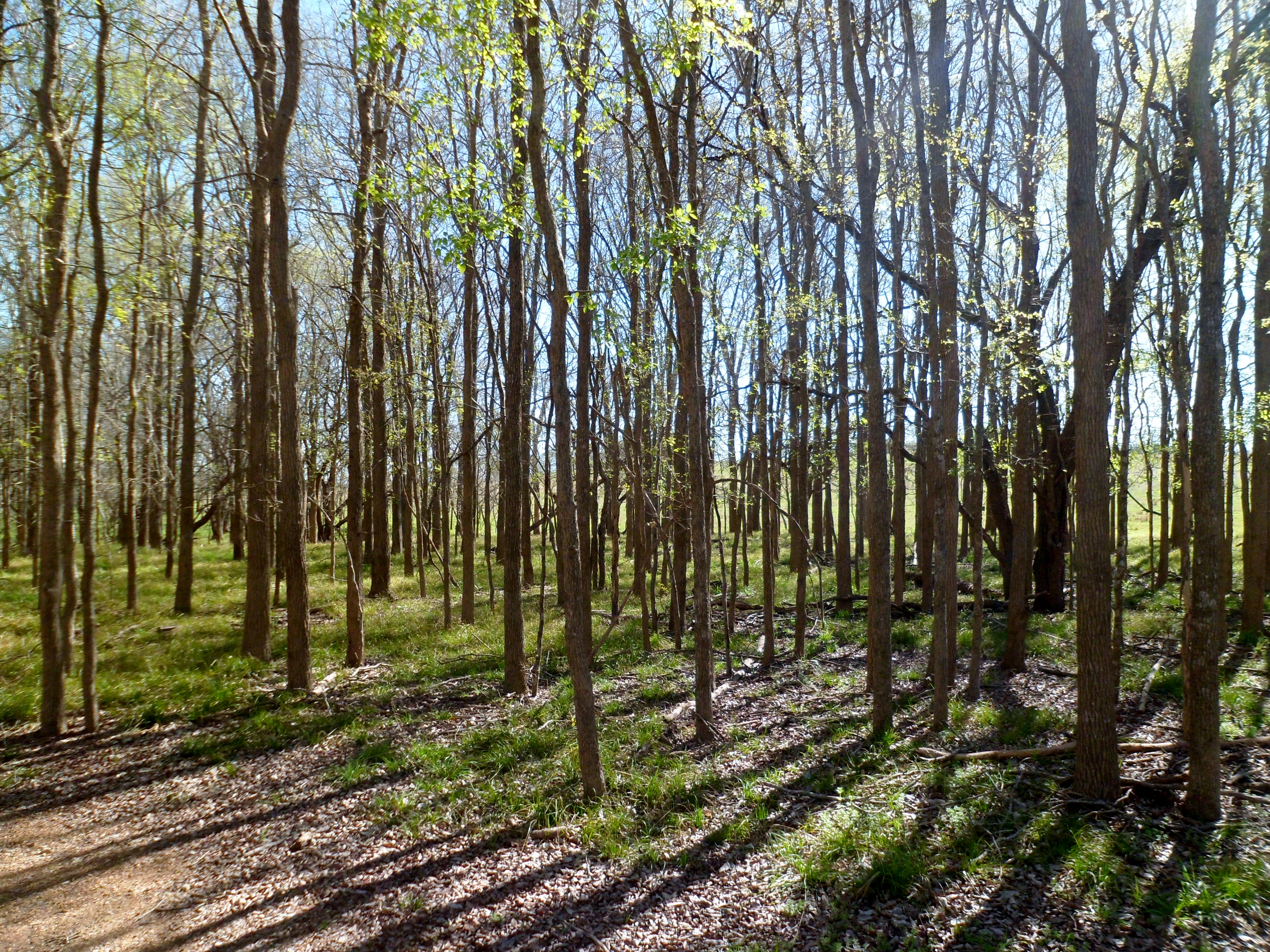
However, since we were already out there, we did a quick 1 mile loop in the “Uplands” area of Westcave, which is a nice, flat prairie loop. It starts out with a short boardwalk, but quickly transitions to gravel, dirt, and grass. We are at the end of wildflower season, quickly approaching hellish broiler season, so there are only a select few flowers left, but it was still very pretty.
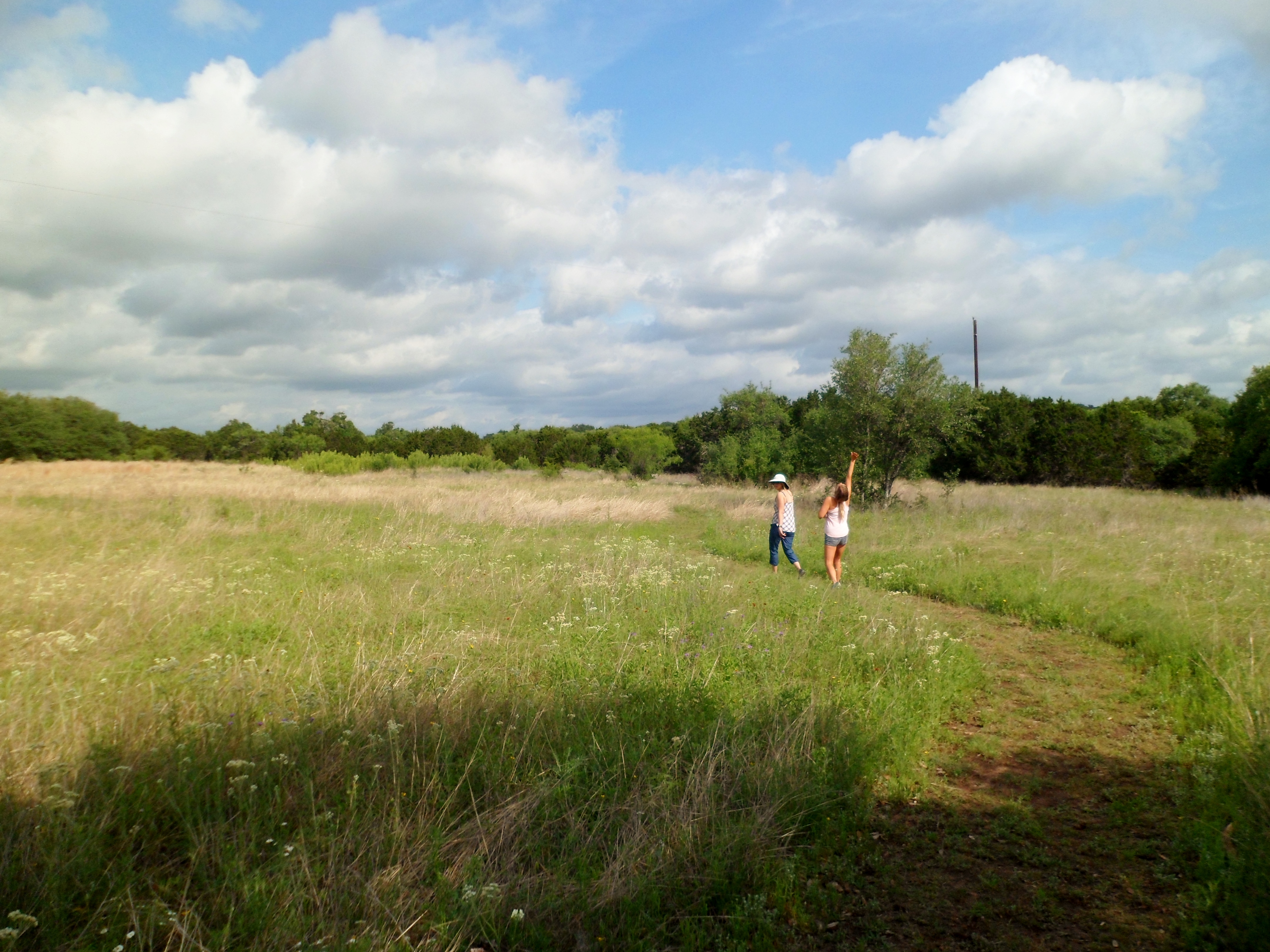
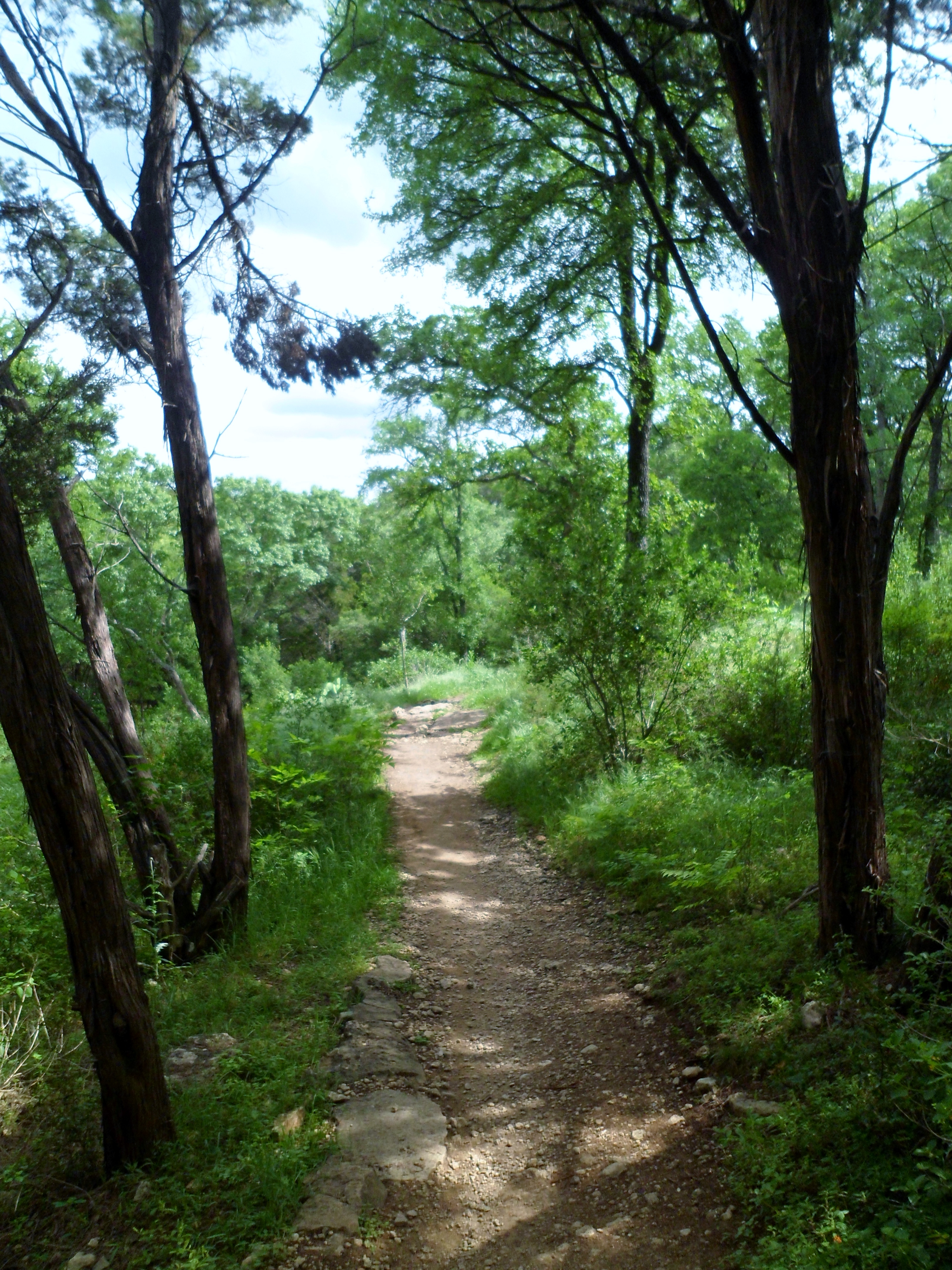
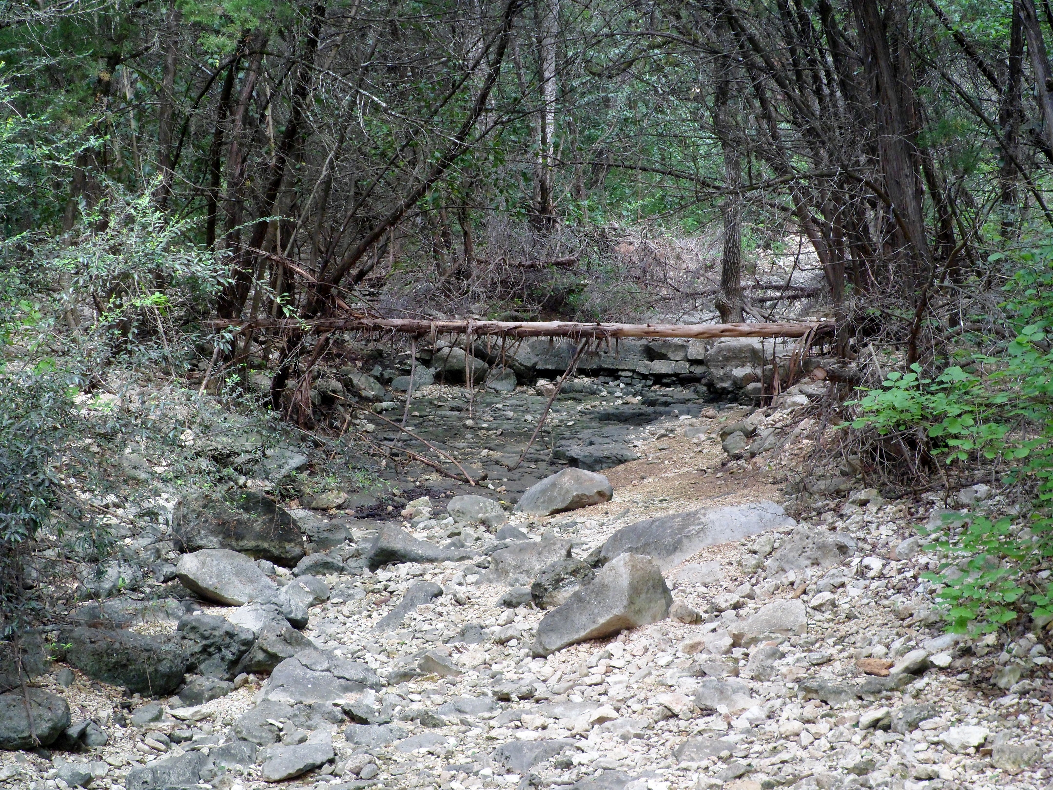
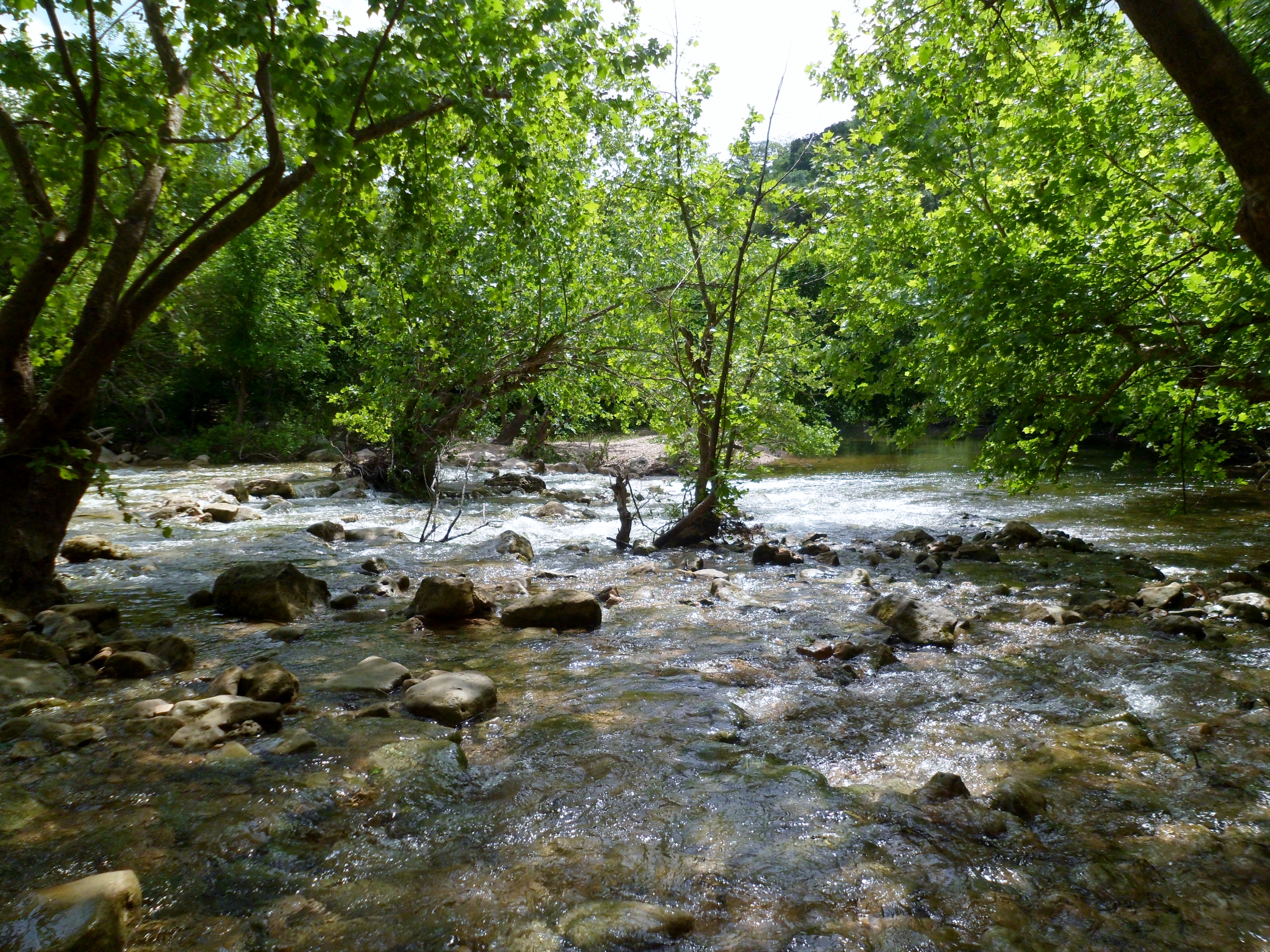
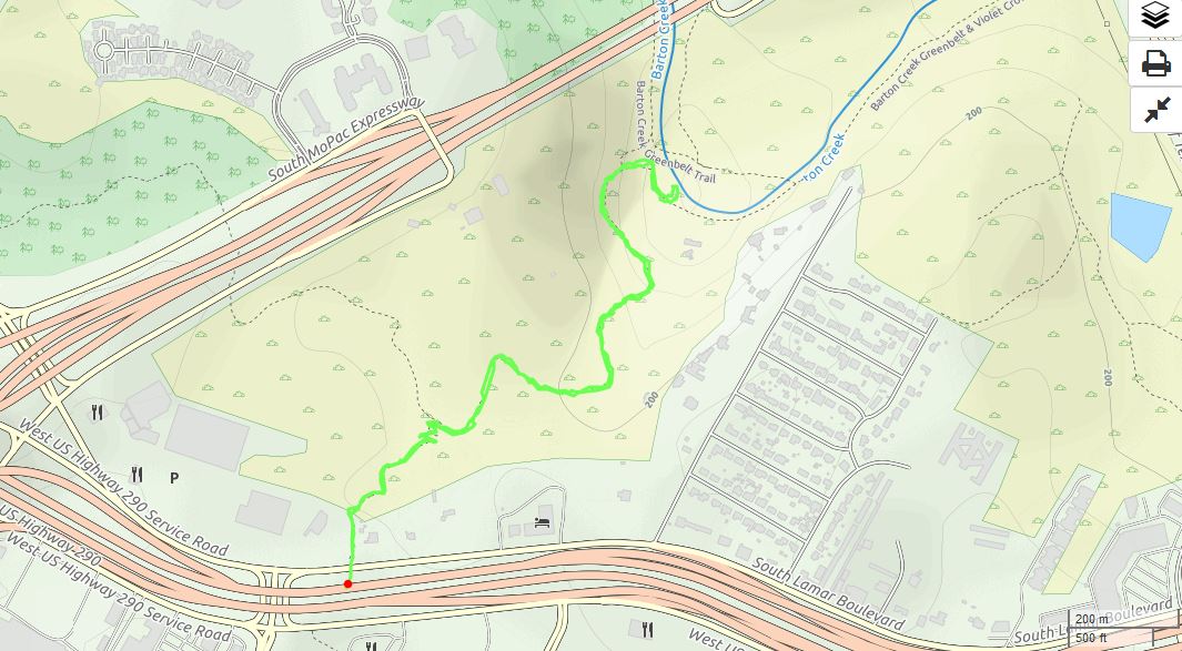
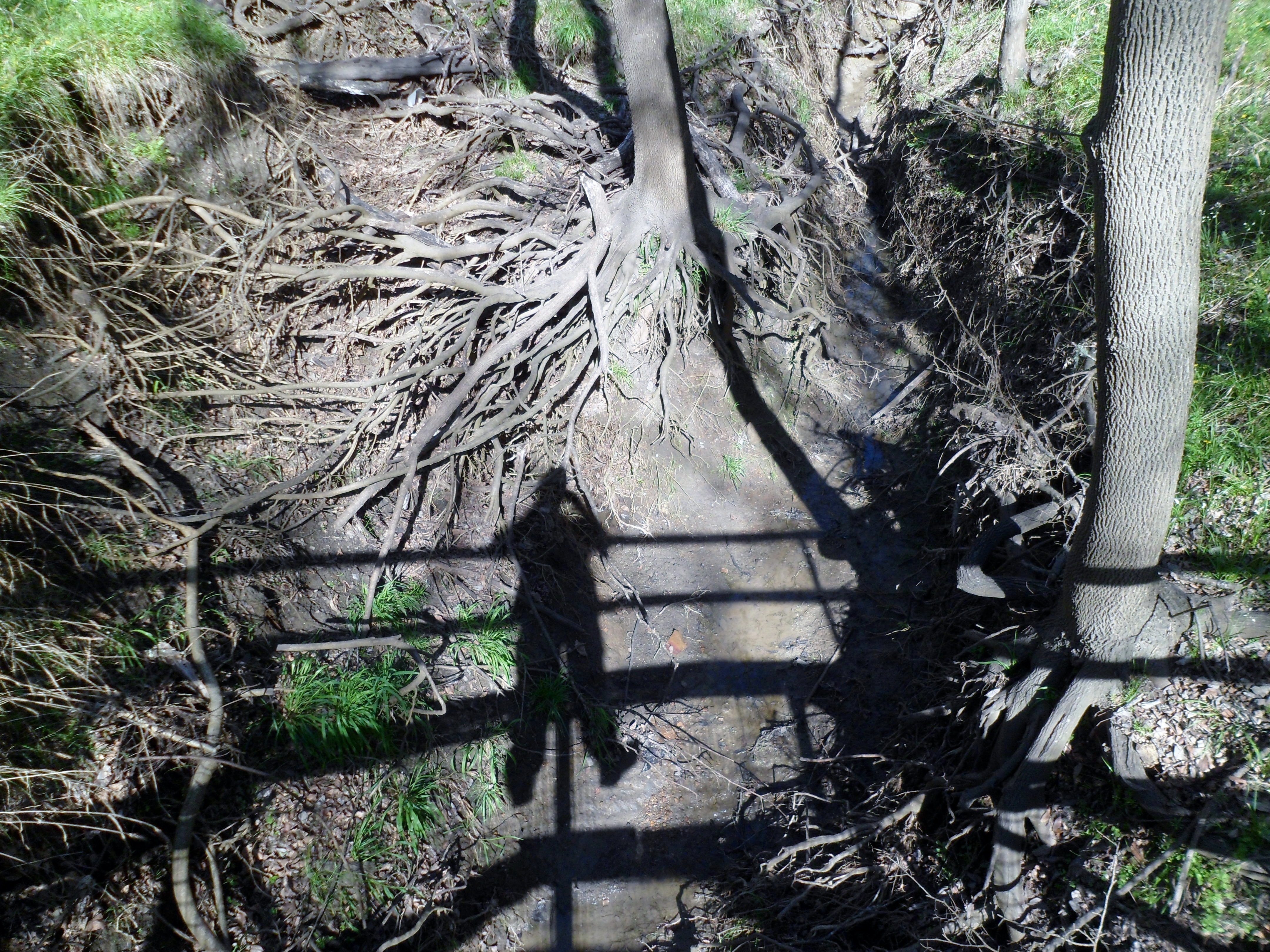
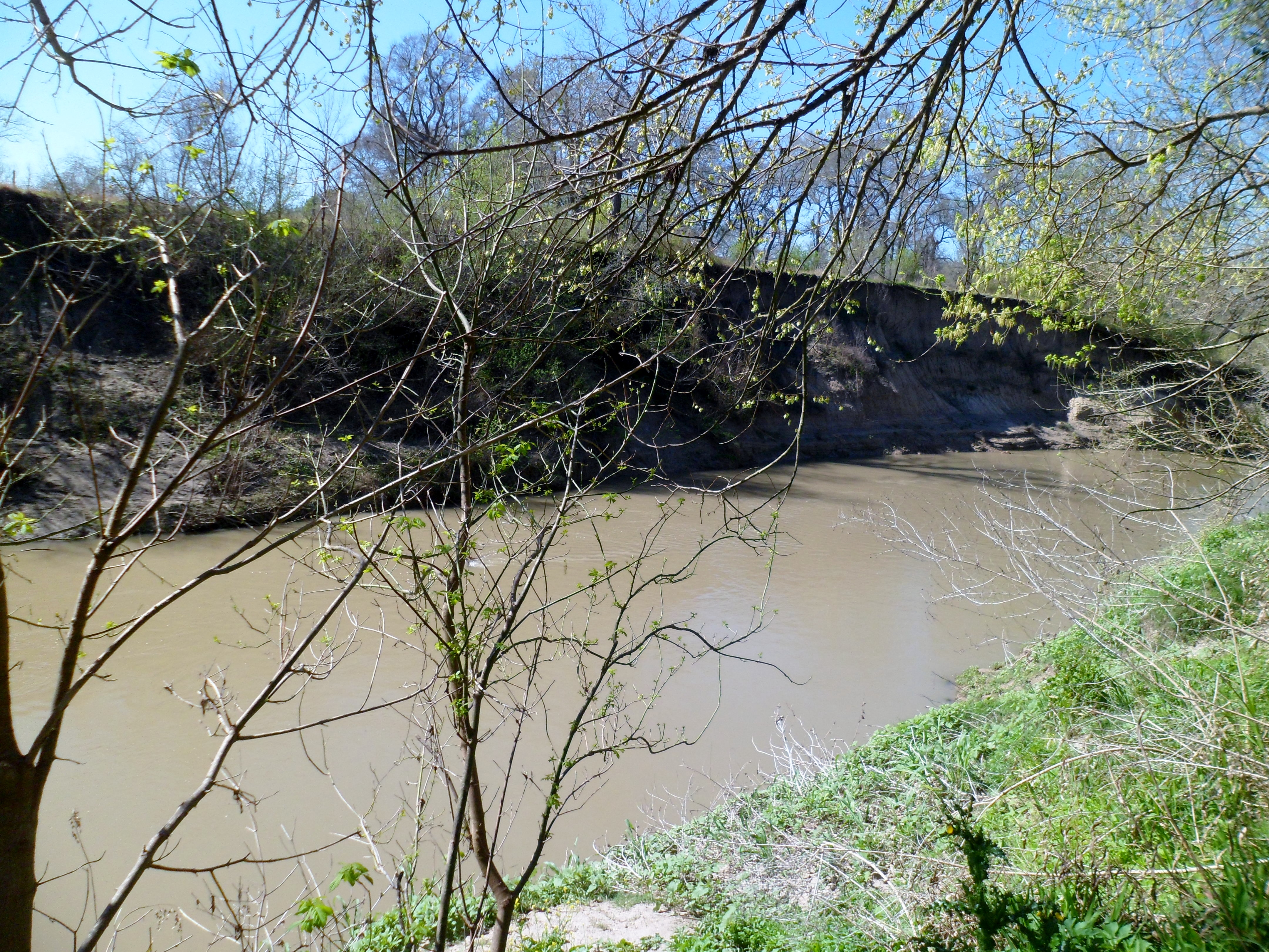
The trail was only a mile and we all wanted to hike more so we came back into town and hit the Violet Crown Trail down to the Greenbelt and back. We hiked down the switchbacks and crossed dry creek beds several times before we got down to Barton Creek, which was flowing well.

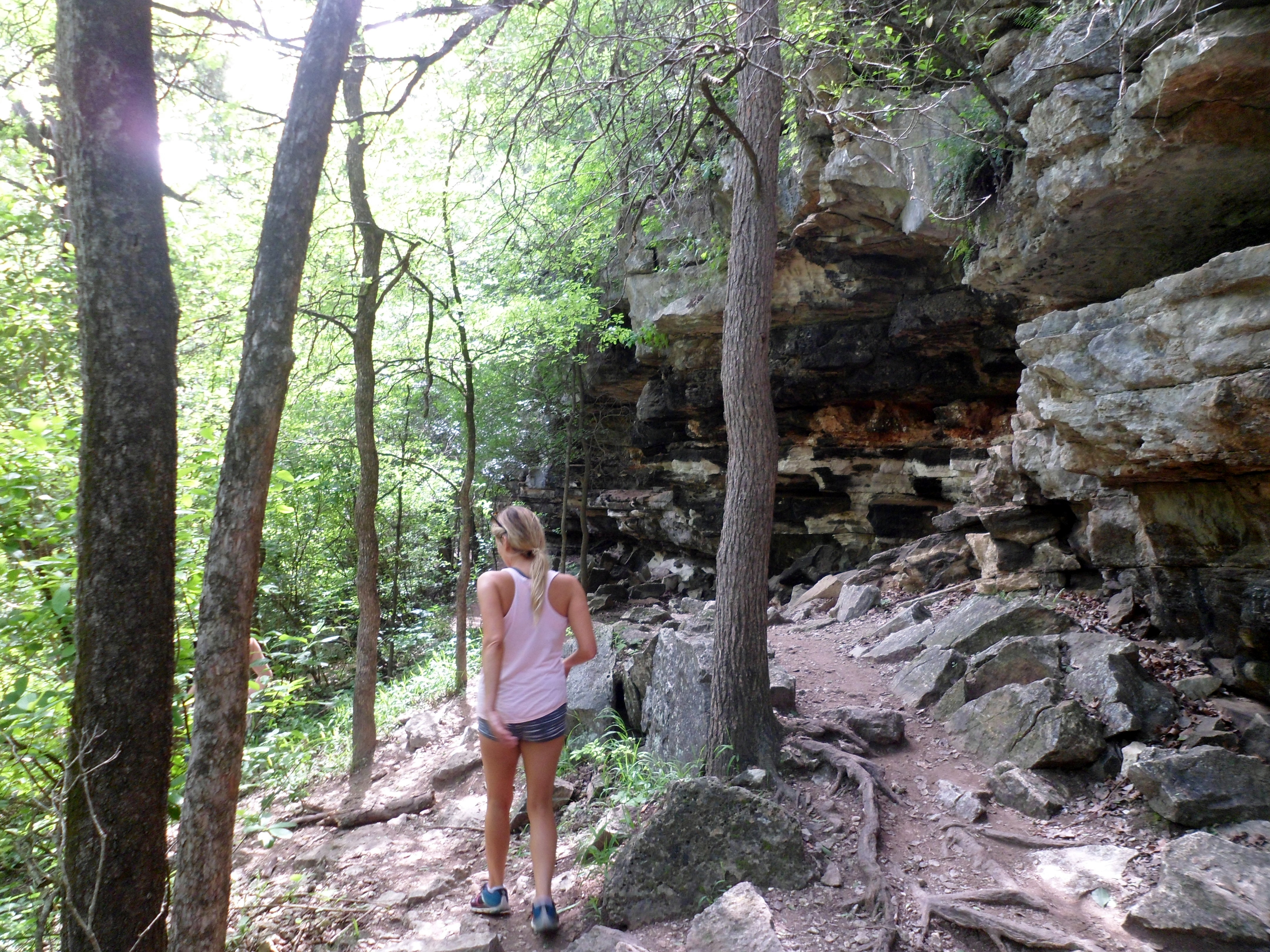
We lingered shortly before turning around and making the trek back up to the trail head at 290 and Brodie Lane. There wasn’t much length for the hikes today, but it was good to get out on the trails nonetheless.
Please Help Wildlife Rehabilitation NW Tucson Rebuild After a Devastating Fire

Tragic. Please help if you can.
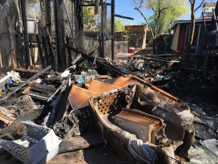 Aftermath of the fire outside – photo by Chris Bondante
 The bird room after the fire – Photo by Chris Bondante
Our bird room and adjacent outdoor habitats were completely destroyed, along with food, equipment, and other items. The good news is that 86-year old owner Janet Miller is OK and most animals survived and are receiving continued care. Some of the birds lost had been educational animals for over a decade, they will all be missed.
 Both of our educational Elf Owls perished in the fire. Elfie and Cleo brought joy and wonder to all who met them.
Please…
View original post 242 more words
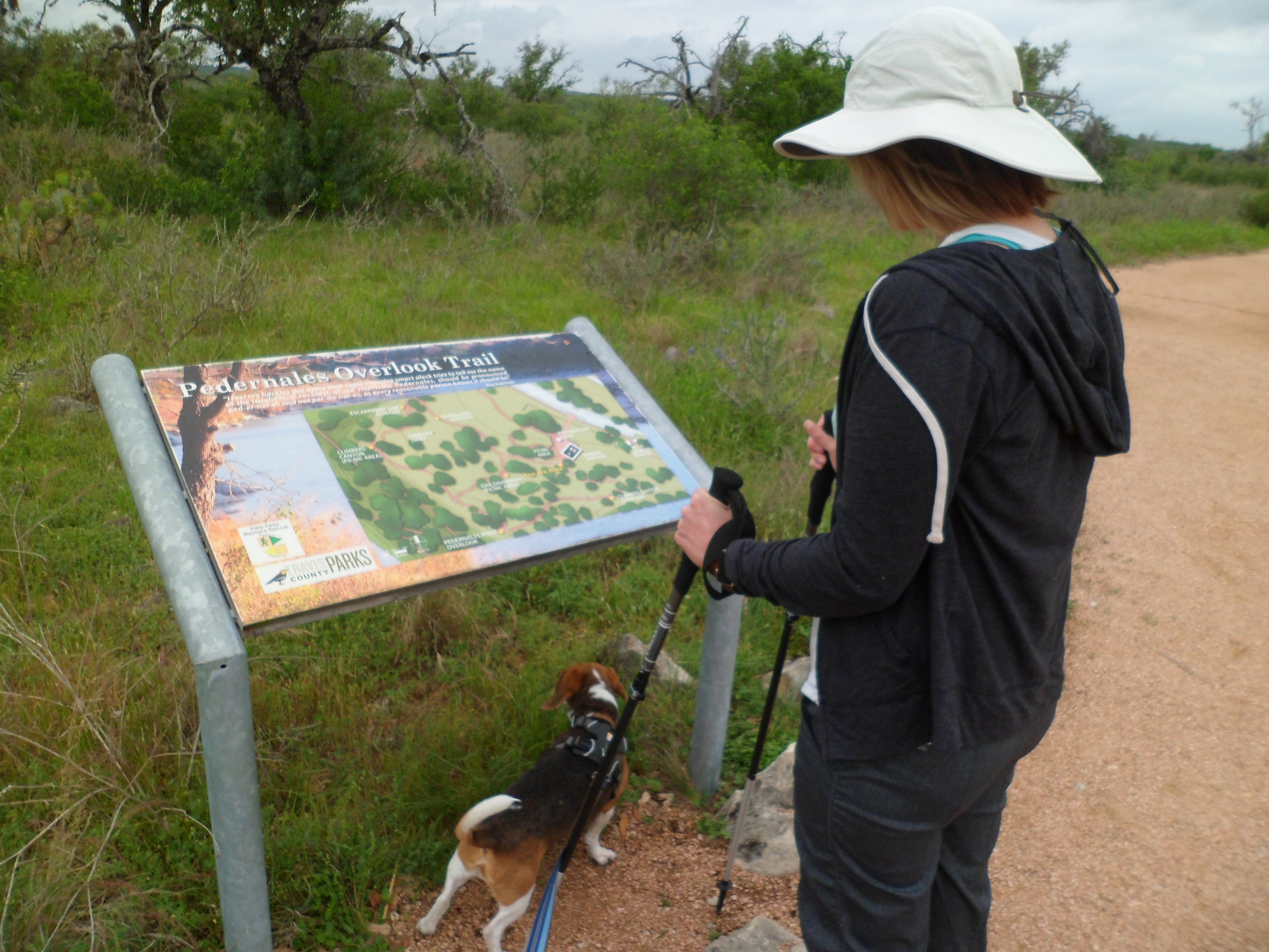
Reimer’s Ranch – Canyon Trail 4/1/17
Saturday, April 1, 2017
Hike: Reimer’s Ranch – Canyon Trail
Weather: windy, cloudy, cool, mid 60s
Hikers: Ian, Court, Biff
Length: 1.4 miles
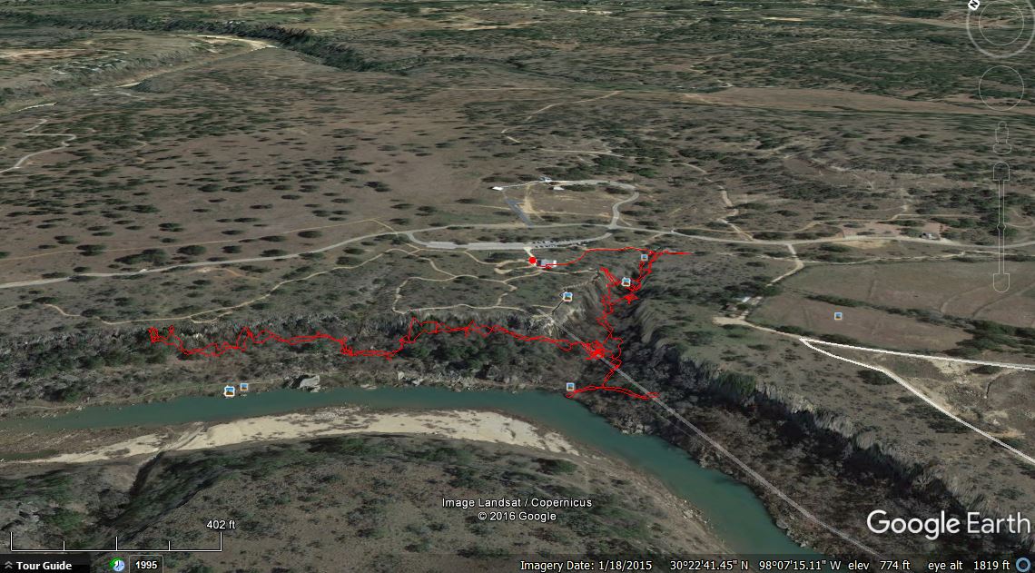
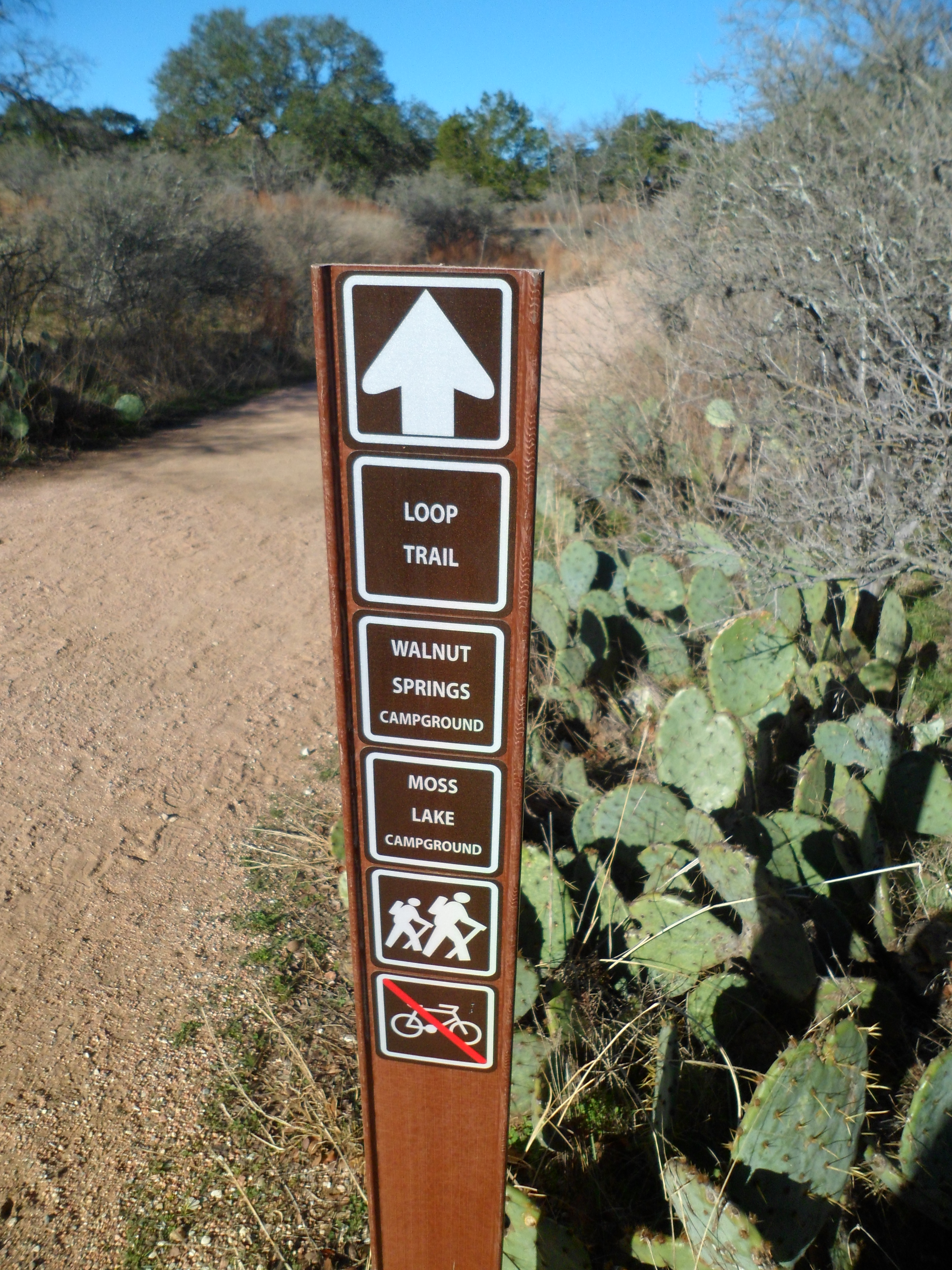
Milton Reimer’s Ranch is a park that is about 1 mile from Hamilton Pool and we had never hiked it. This was a pretty short (but hard) hike and we have plenty of trails left to explore out there, with over 2400 acres in the park.
From the Travis County Parks website:
This pristine parkland, open space and reserve land in western Travis County with almost 3 miles of continuous frontage along the Pedernales River is the largest parkland acquisition in the history of Travis County.
The rain was supposed to start up in the afternoon so we woke up relatively early and made the 45 minute drive to the park, hitting the trail by about 9:30am. I also used this hike to test out my new day pack that I bought for use this summer in Colorado and Canada, the Osprey Stratos 24. I could have saved a pound of weight going with the Talon 22, but the sturdier frame of the Stratos ultimately sold me. It will take a couple of hikes to dial it in, but I was happy with the fit and feel of it on today’s hike. However, the hole in the pack for the water bladder hose was engineered poorly, being very difficult to thread the hose through and I can see that getting old. I may have to cut part of it to make it not as maddening.

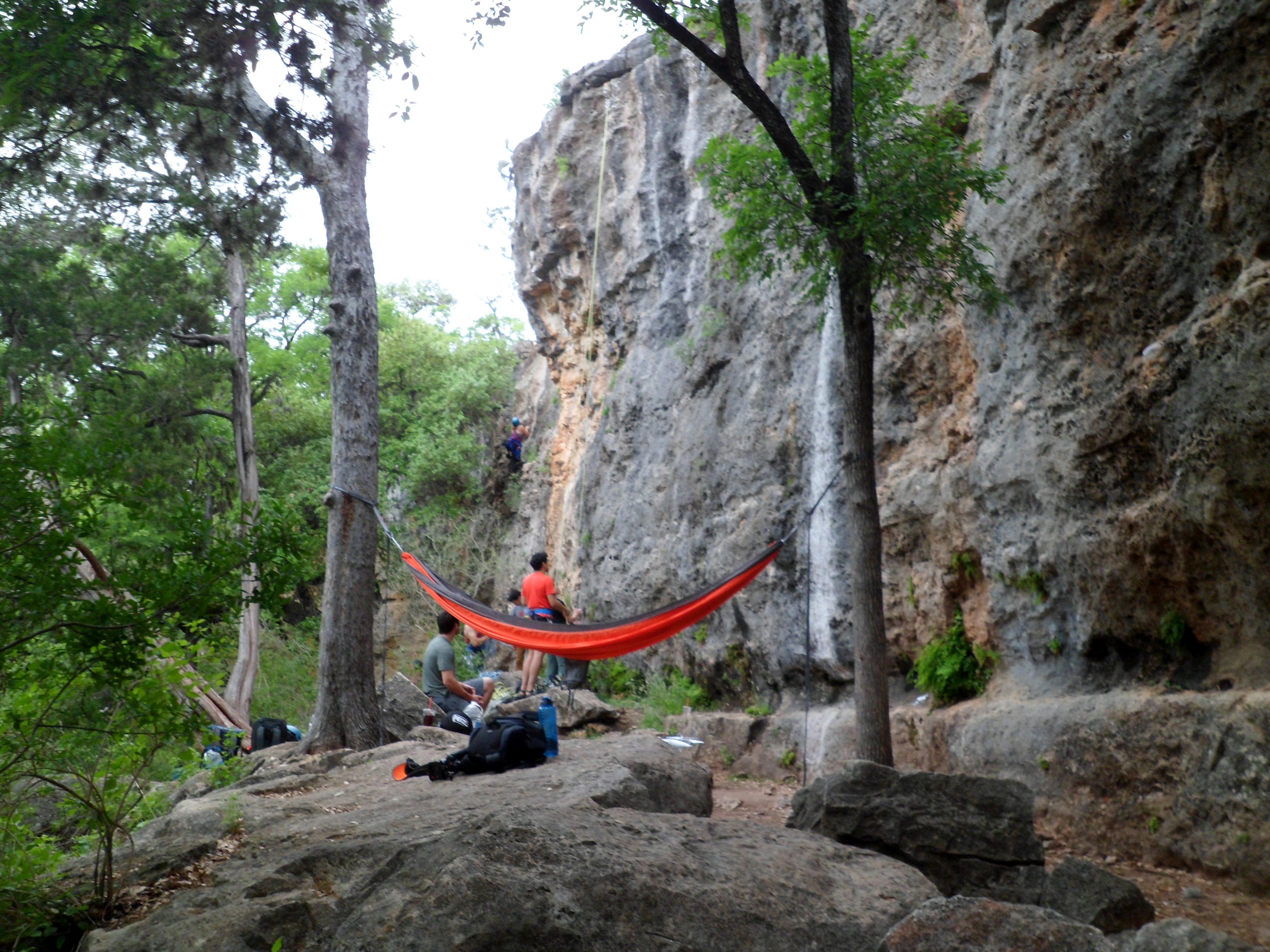
The ranch is apparently a rock climbers heaven and there were plenty of climbers down in the canyon. The trail was not well marked and we had to feel our way and do a bit of scrambling and bushwhacking, carrying Biff quite a bit.
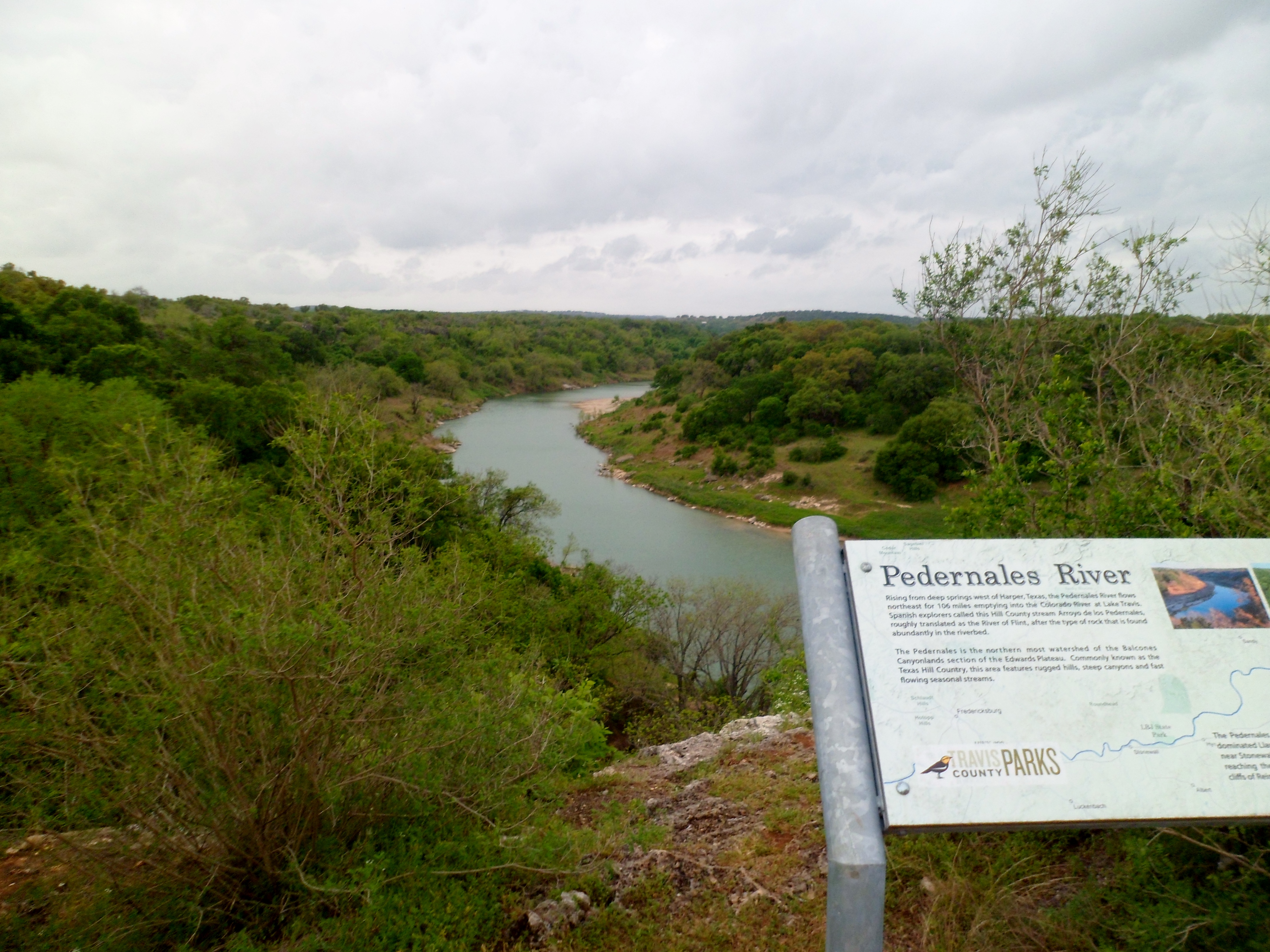
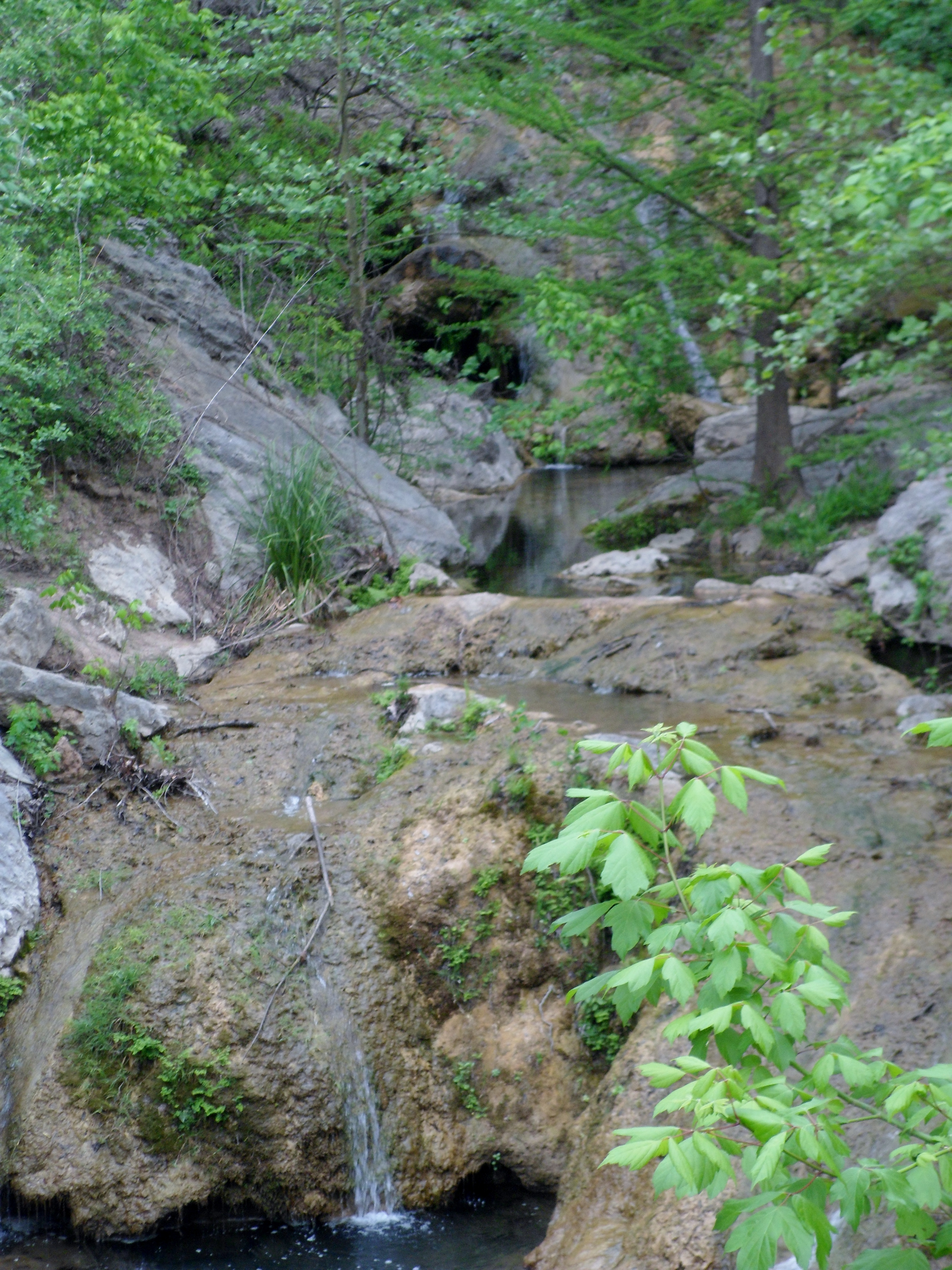
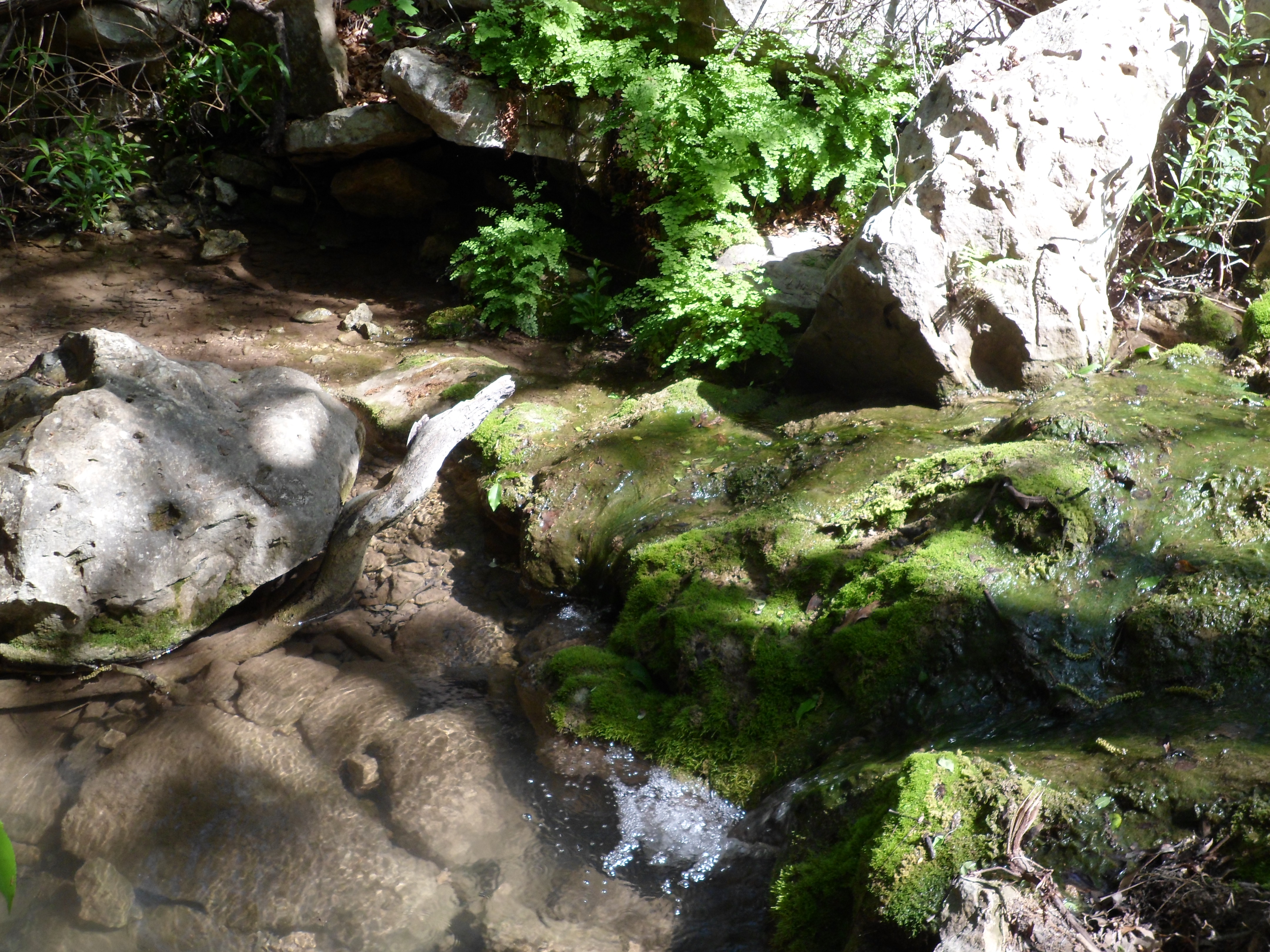
We trekked down into the canyon and there were several people doing a photo shoot under one of the big rock overhangs with a tent set up and various gear combinations. We continued down into the canyon, following the small stream that was cut into the rock. It soon became several beautiful waterfalls surrounded by ferns and tall trees.


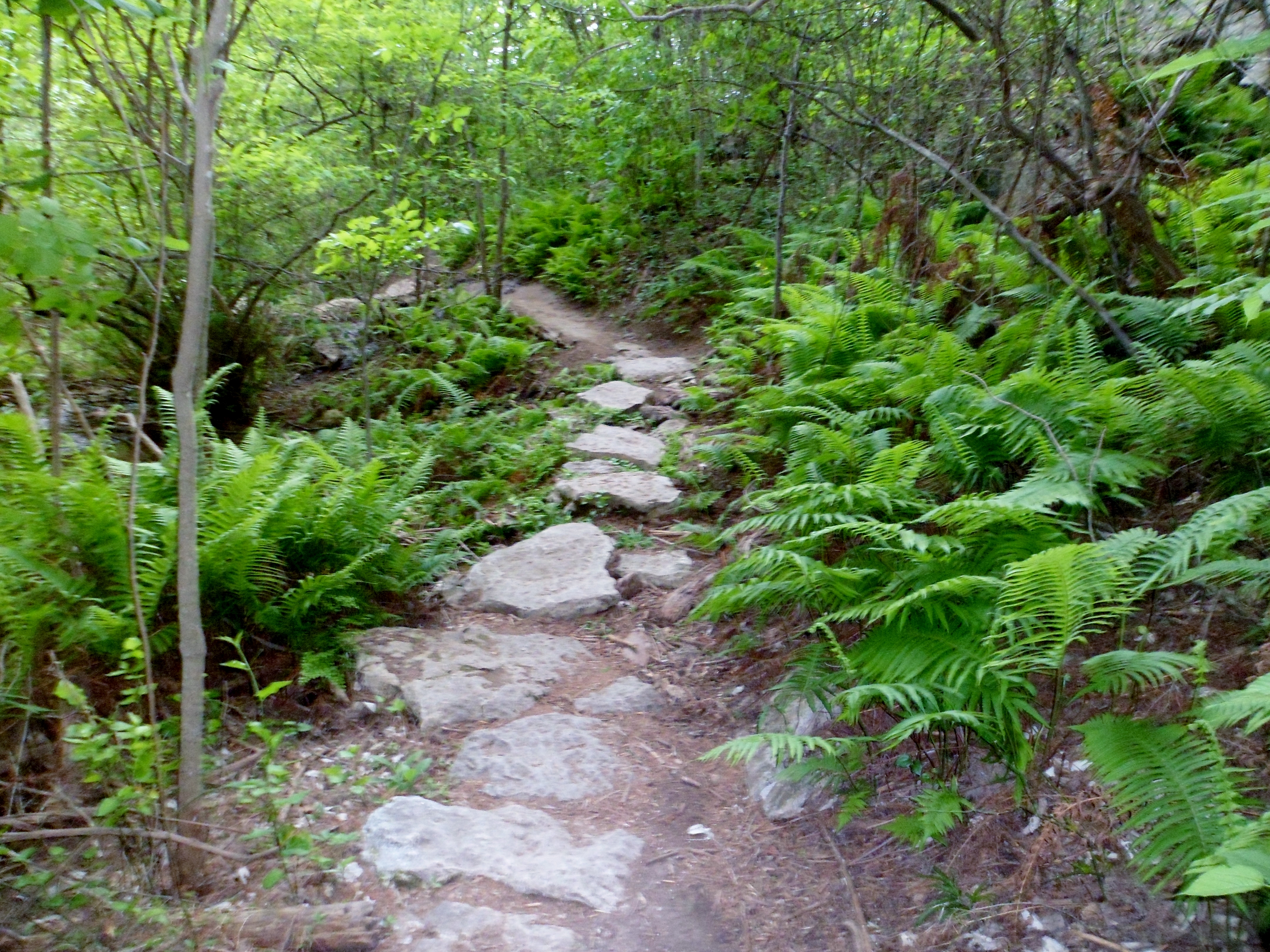

From here the trail became much more difficult to ascertain and was pretty overgrown. We came across several different rock climbing groups and stopped briefly to watch them. We struggled on through the trail for a bit, bushwhacking and climbing up and over huge boulders, but ultimately decided it was time to head back in the other direction where there seemed to be slightly clearer trails. The day was very muggy and carrying Biff along with a full pack takes its toll.

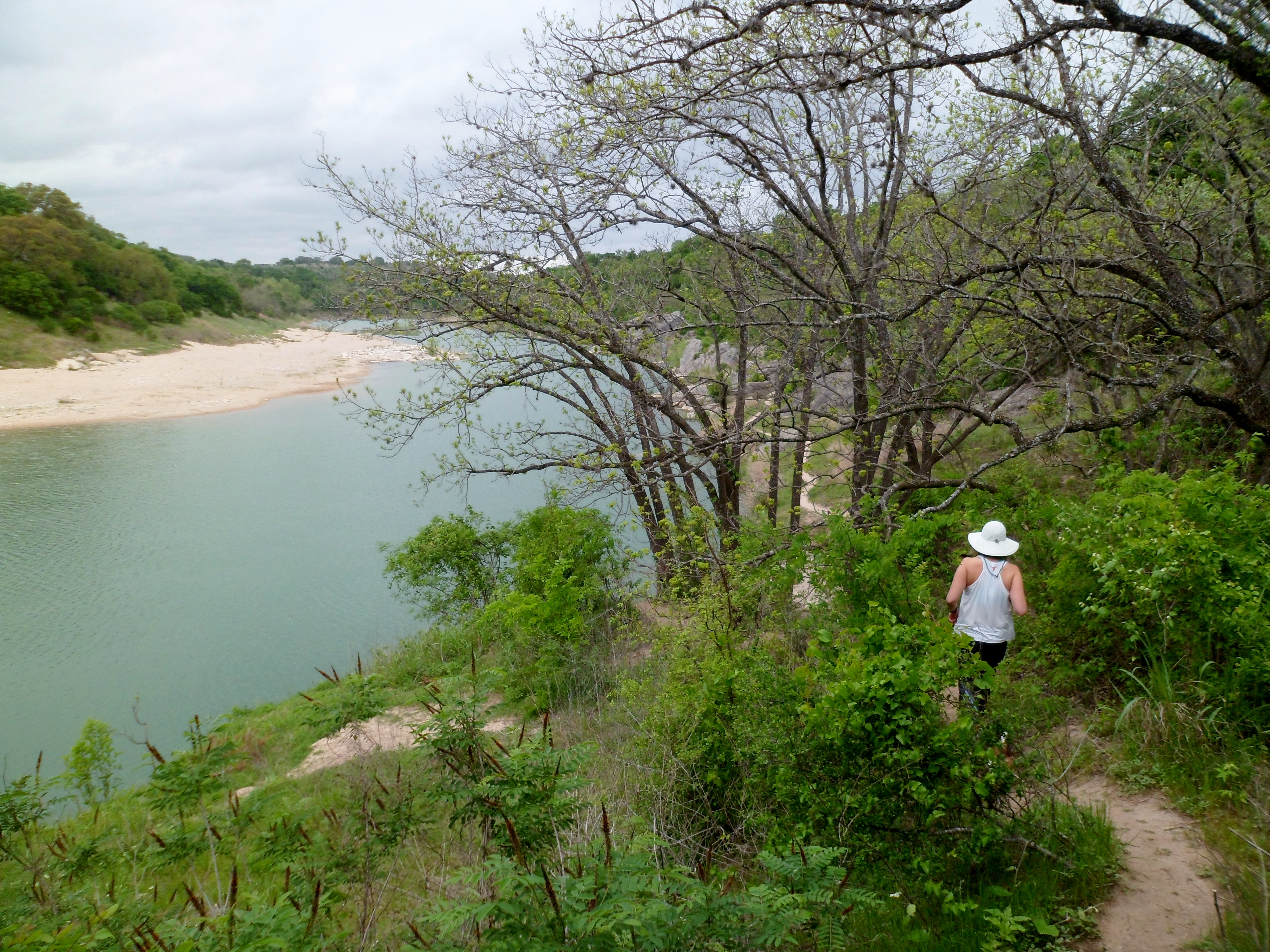
We came back to the waterfall from earlier and Court ate the rest of her breakfast next to it. We then followed the trail to a river overlook and saw where the stream emptied into the Pedernales River, again with several beautiful waterfalls.


We could hear more and more people entering the canyon and decided to head back. There were lots of kids and they did not seem to care about enjoying the sounds of nature as much as the sounds of their own voices. Get off my lawn.
We climbed out of the canyon, past a field of wildflowers, and back to the car. This hike was really short in distance, but big on nature. We’ll be back.


Steiner Ranch Trail System 3/27/17
Sunday, March 27, 2017
Steiner Ranch Trail System
Warm, clear, low 80s
Ian, Court, Biff
2.7 miles

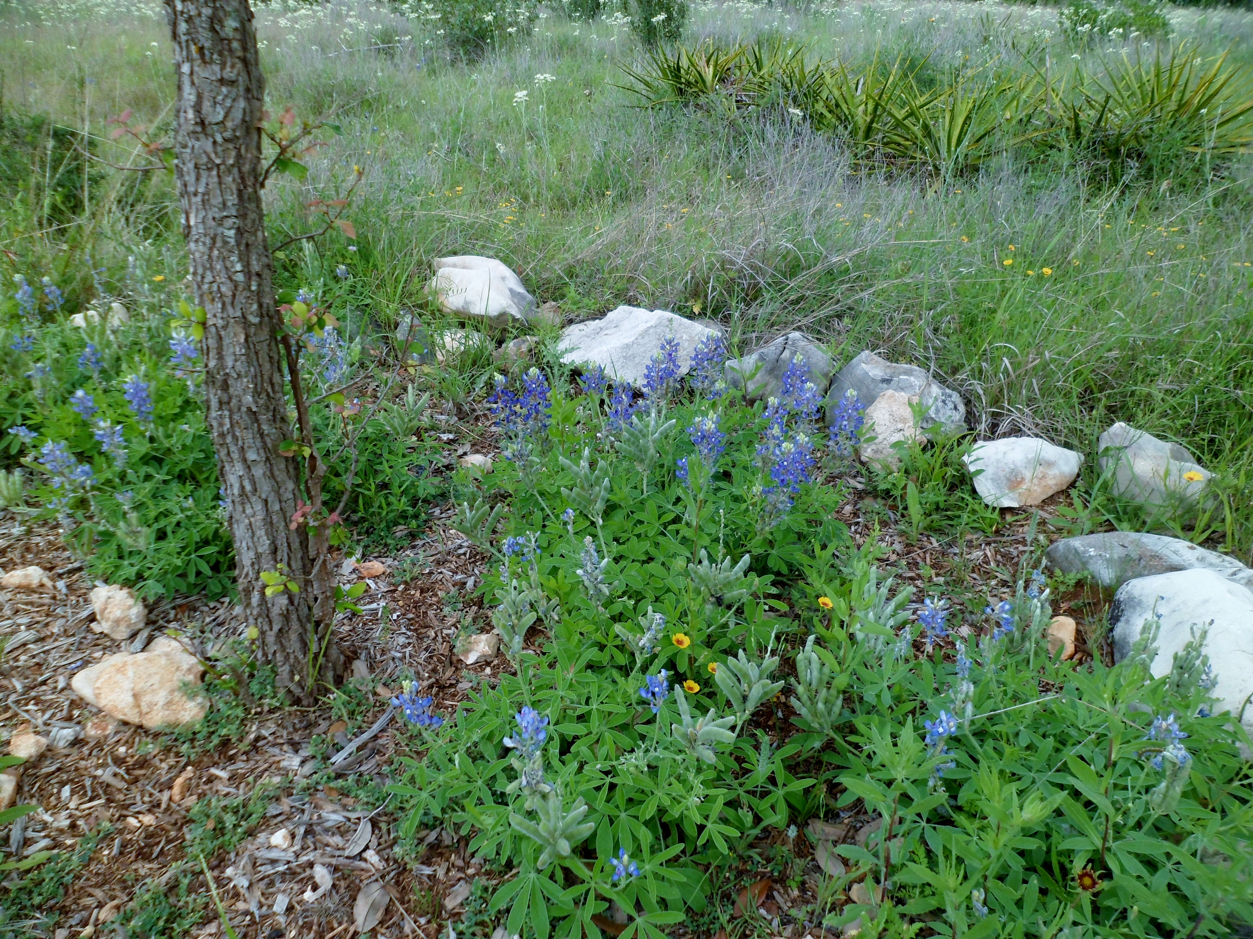
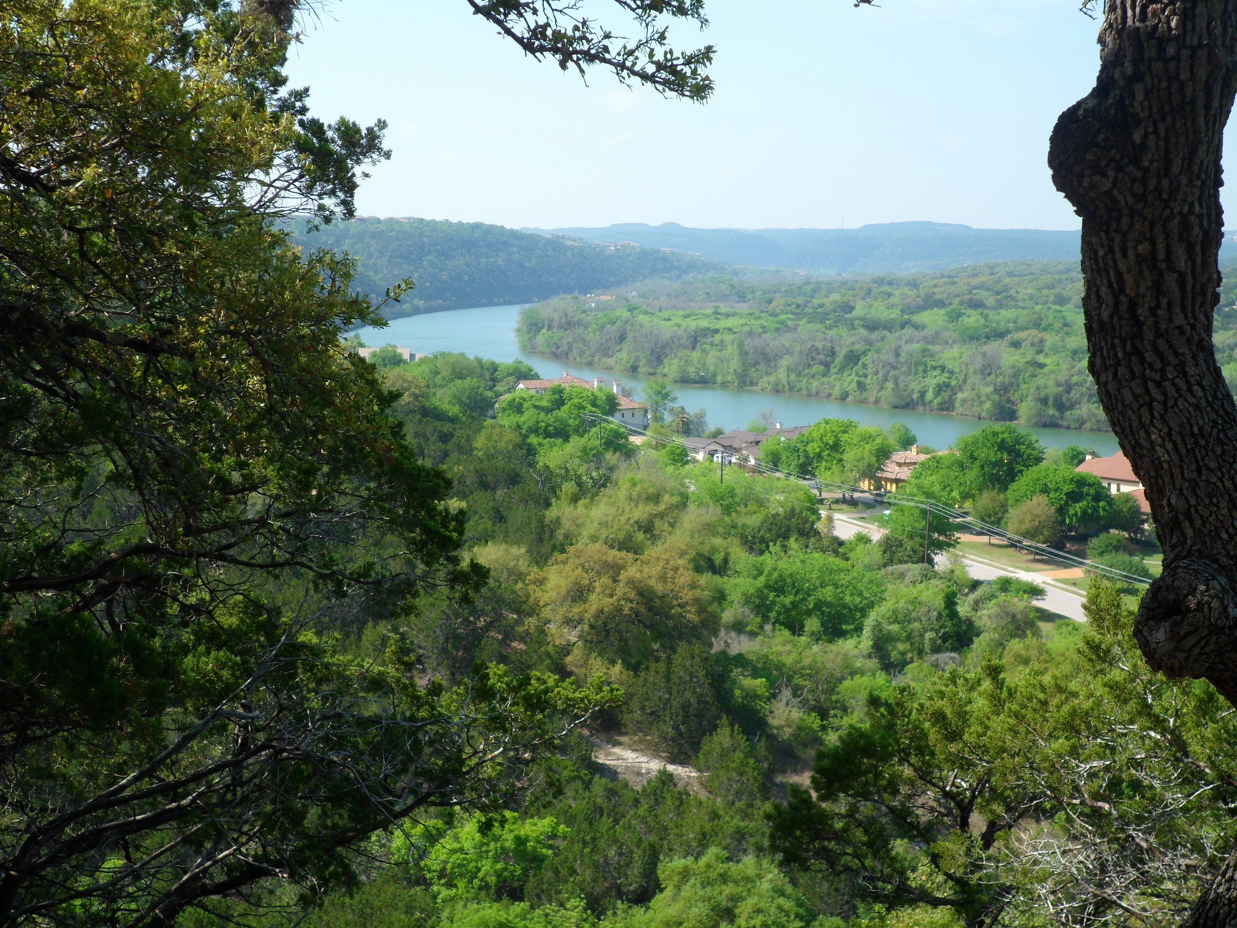
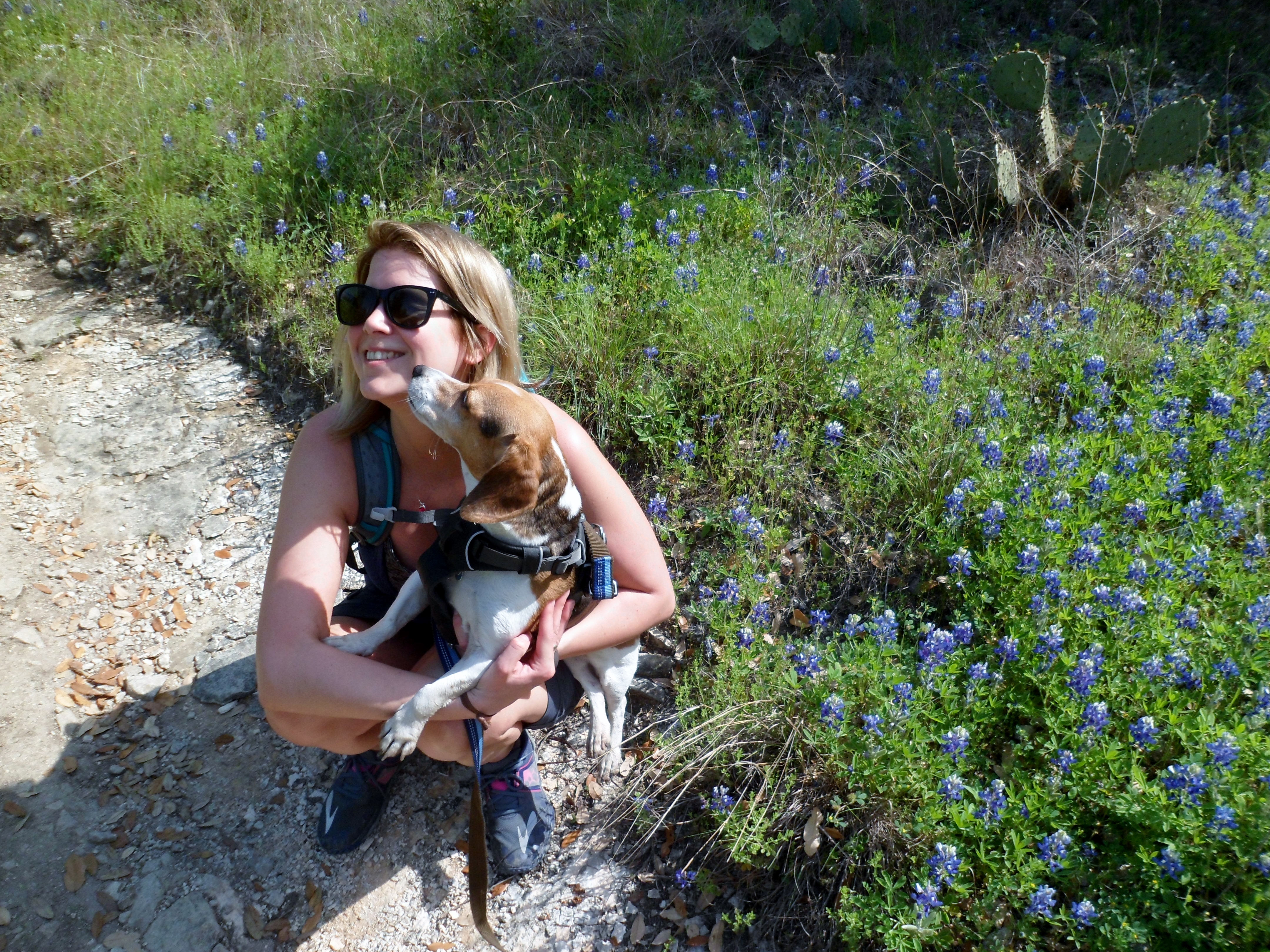
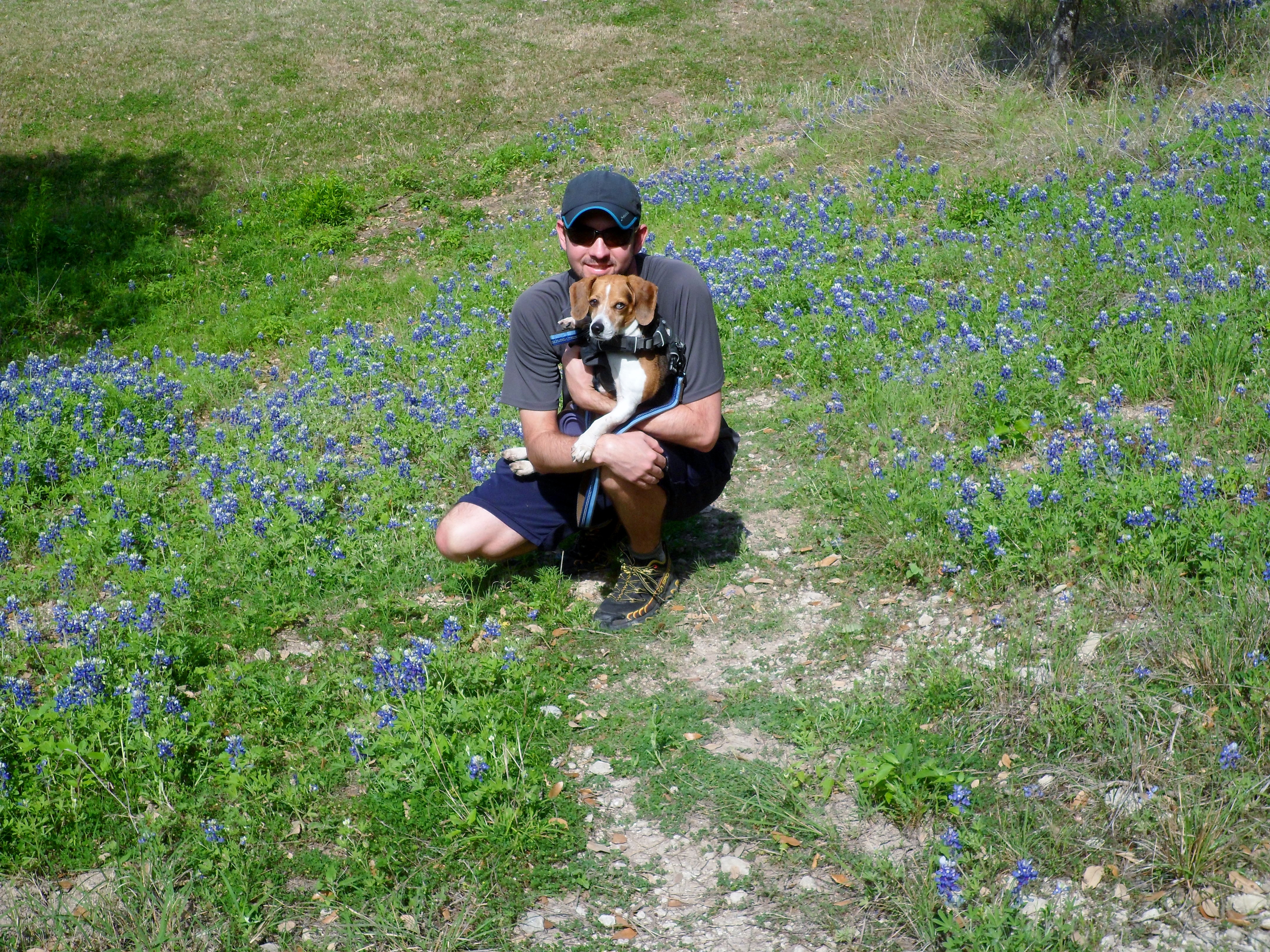
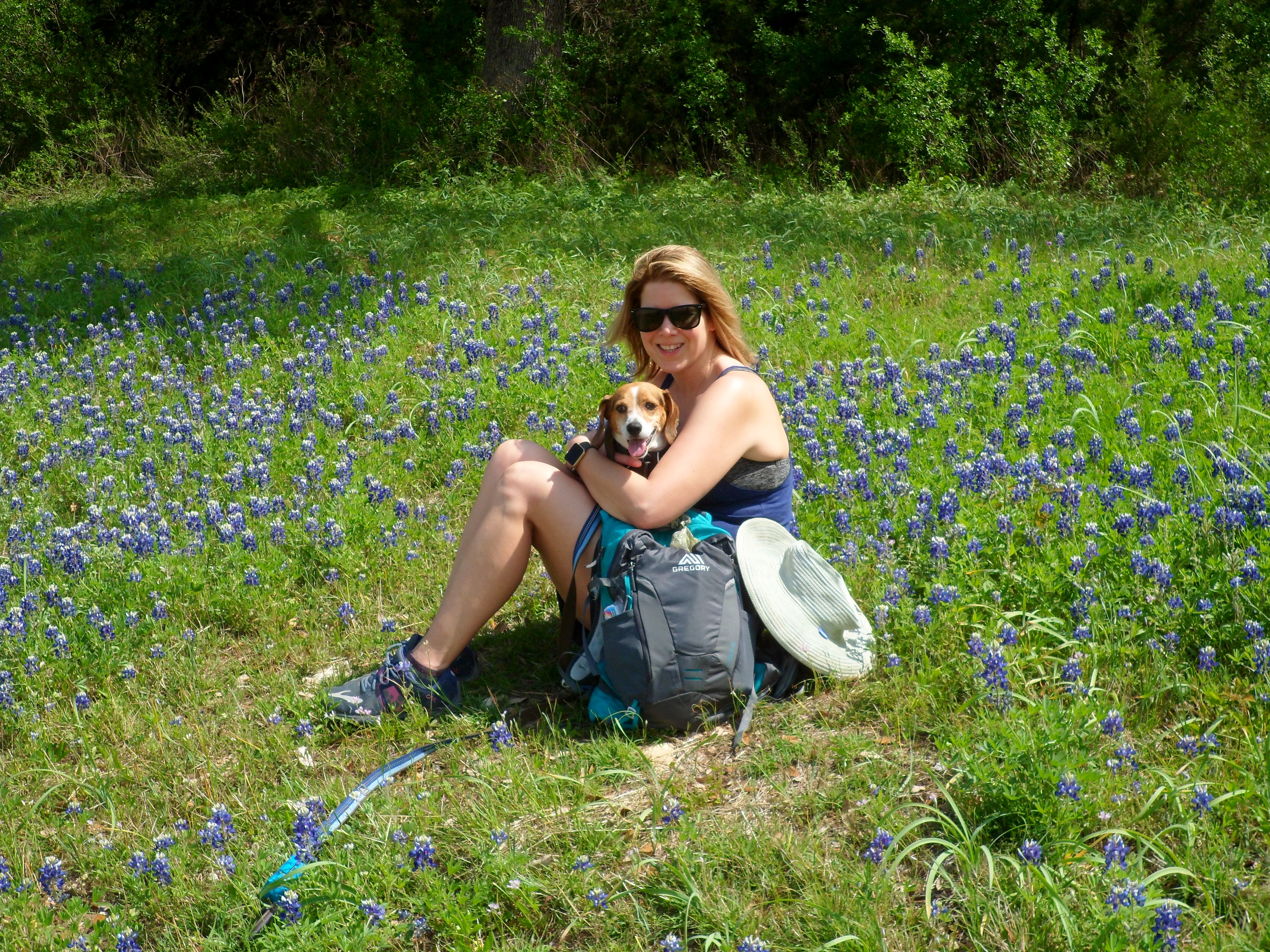
Court and I were going out to Steiner to check out something on her parent’s property so we figured we would hike on one of our old favorite trail systems. We actually found a new trail head that is right by her parent’s property and it was nice to get a new perspective on the trails out there. It wasn’t a long hike, but pretty with bluebonnets and views.
We crossed a couple of creeks and Biff loved the water. The trails were much more maintained and marked than the trails we normally hike in this system. That was a nice change, as most of the time I feel we are navigating by feel out here. The trail quickly took us up to the ridge looking over Lake Austin and the Texas Hill Country.


The water wasn’t way up, but it was flowing and Biff got to wade a little bit. It was an easy out and back and at the end we got some great bluebonnet shots, which is a Texas spring tradition.


Palmetto State Park 2/25/17
Saturday, February 25, 2017
Palmetto State Park – near Gonzales, TX
Sunny, cool, low 60s
Ian, Court, and Biff
3.3 miles
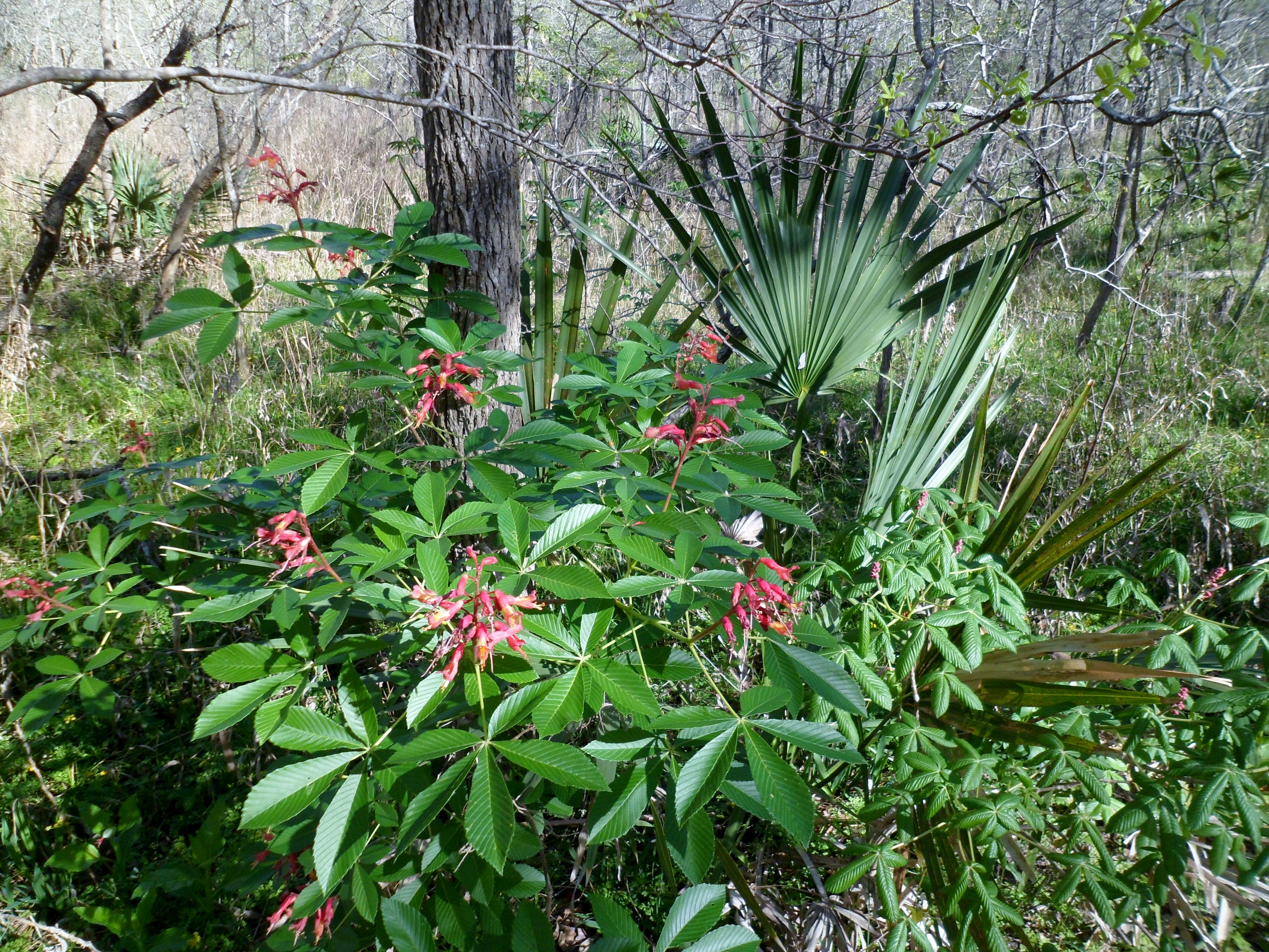
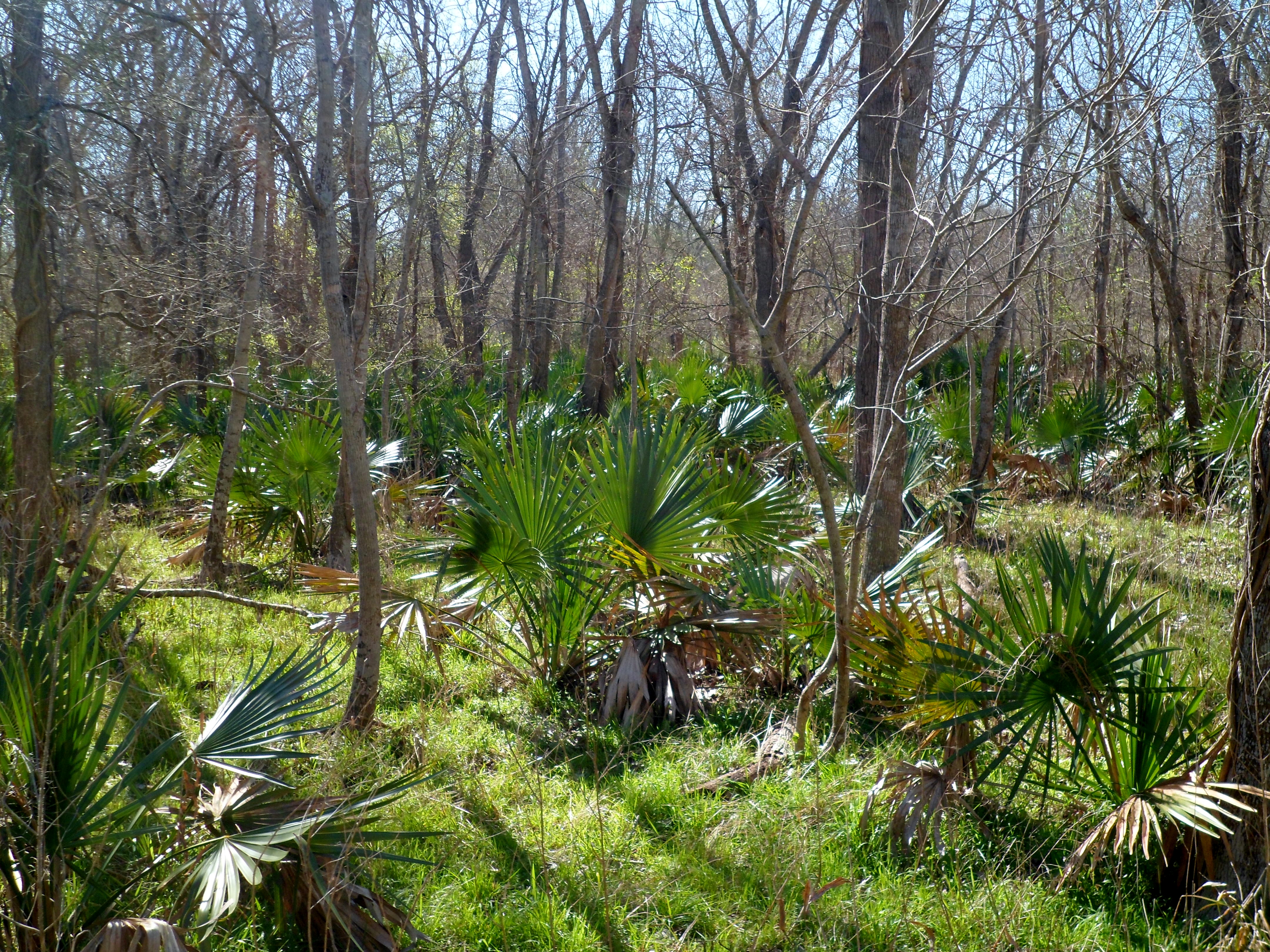
What a surprise this park was! We had actually planned to car camp here a couple of years ago, but never had made it until now. We drove out through Lockhart south to the park and made a loop out of 3 separate trails. The park isn’t very big, but the flora is so much different than anywhere else in Central Texas, which makes it quite a gem.
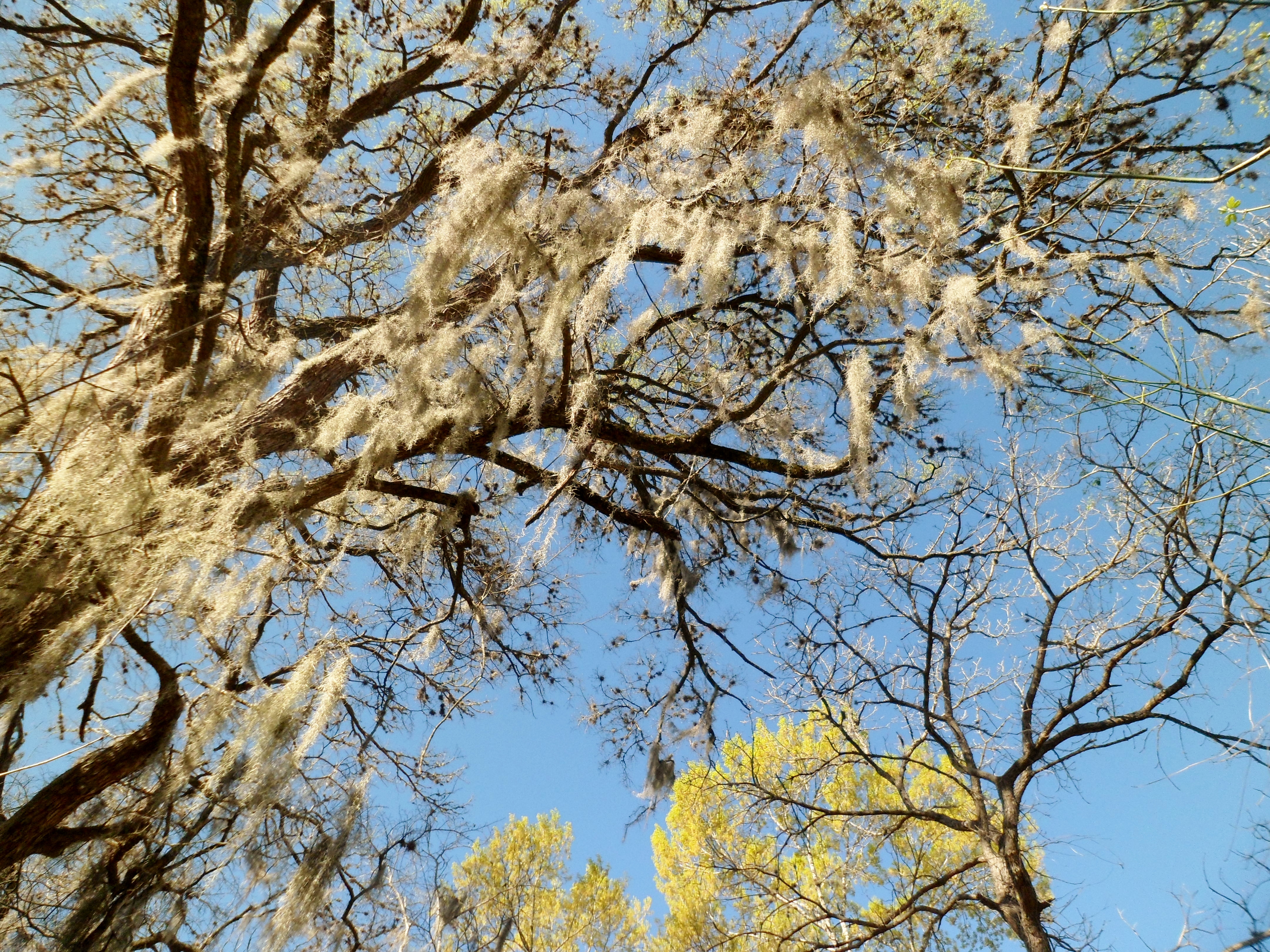
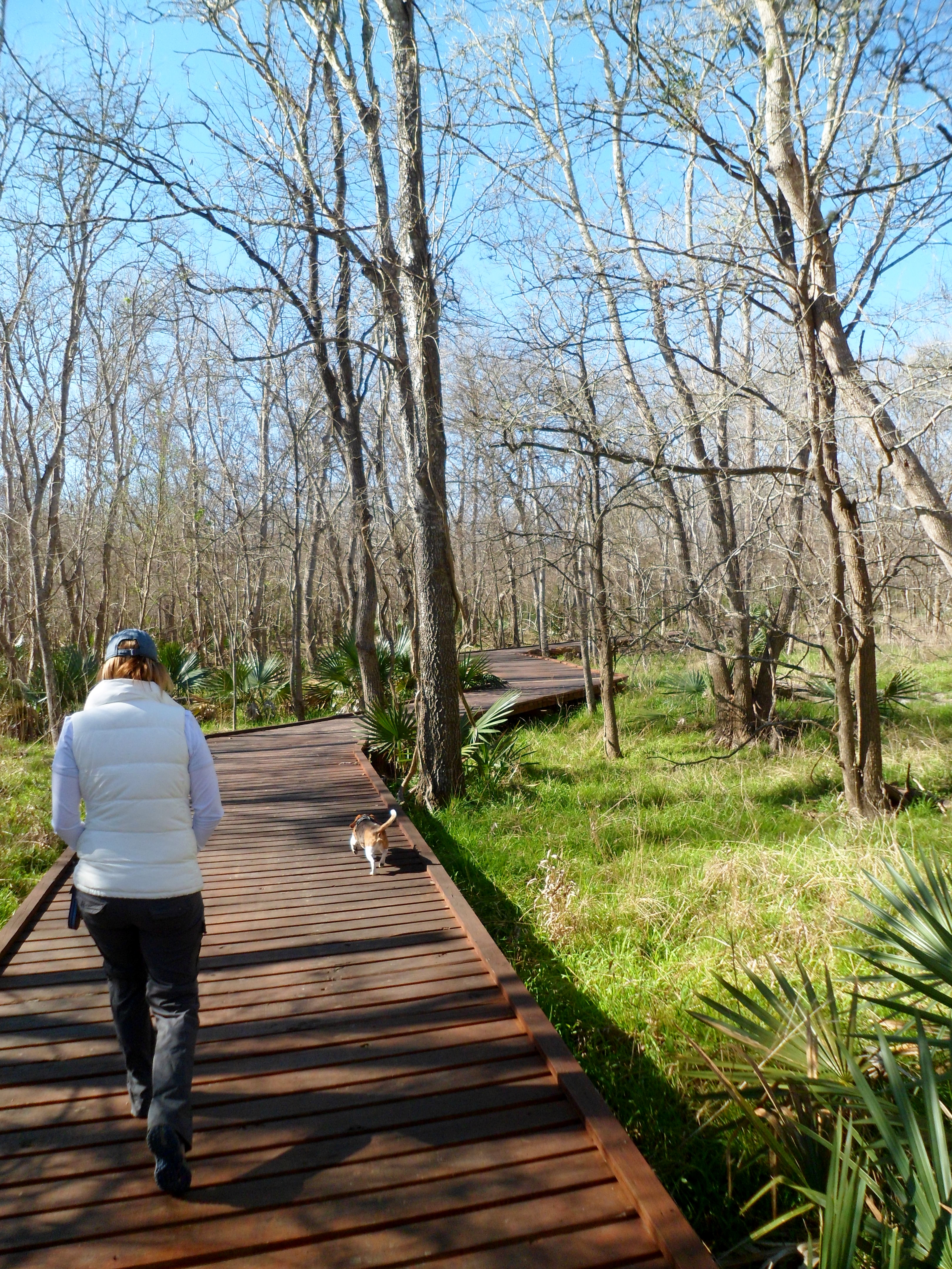
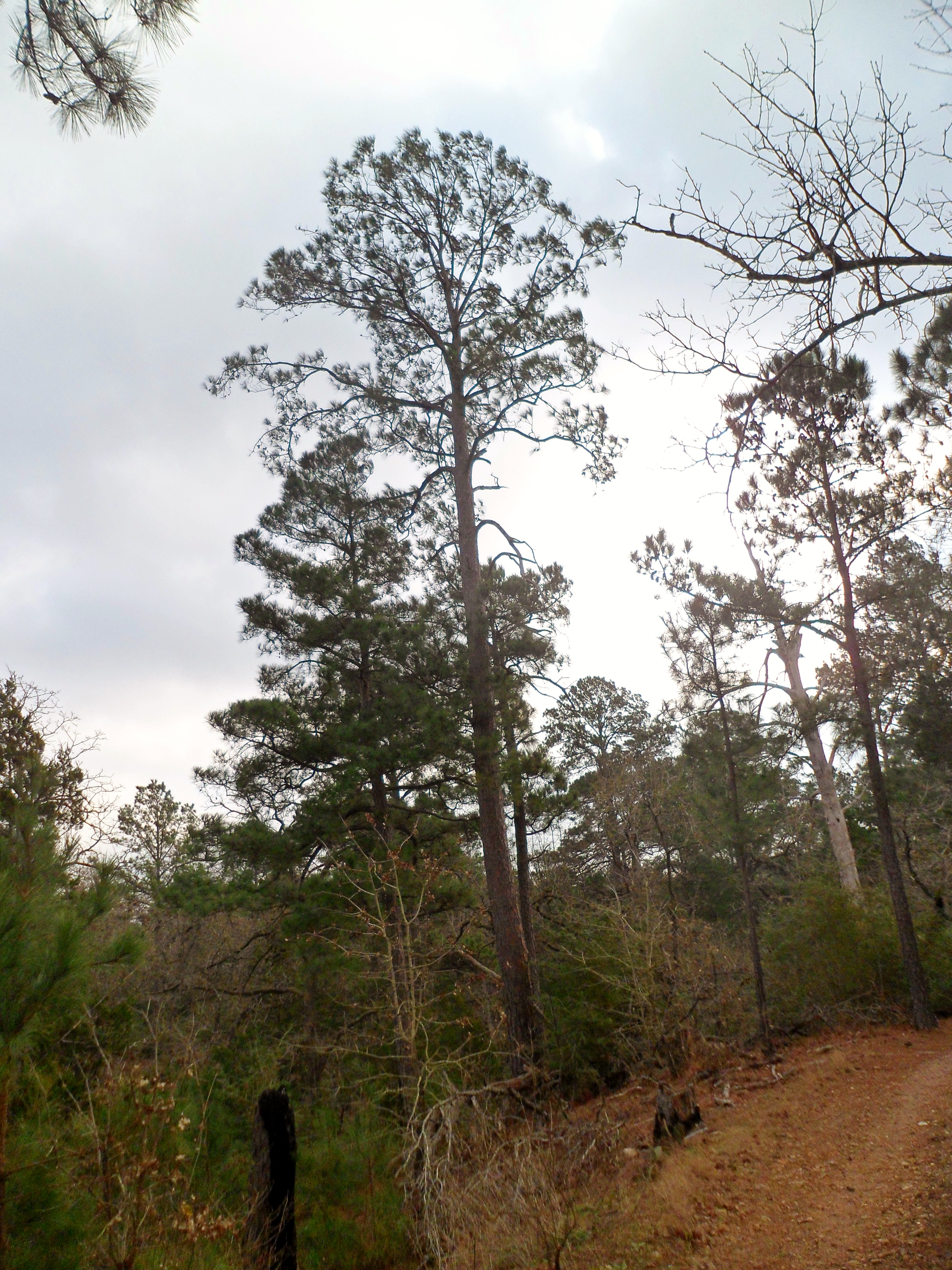
We started at the CCC-built Rectory and took the Ottine Swamp Trail, which wound through the palmettos for a mile or so. Birds everywhere. The trail was partly boardwalk, to protect the fragile plant life, and there was spanish moss hanging from the trees.
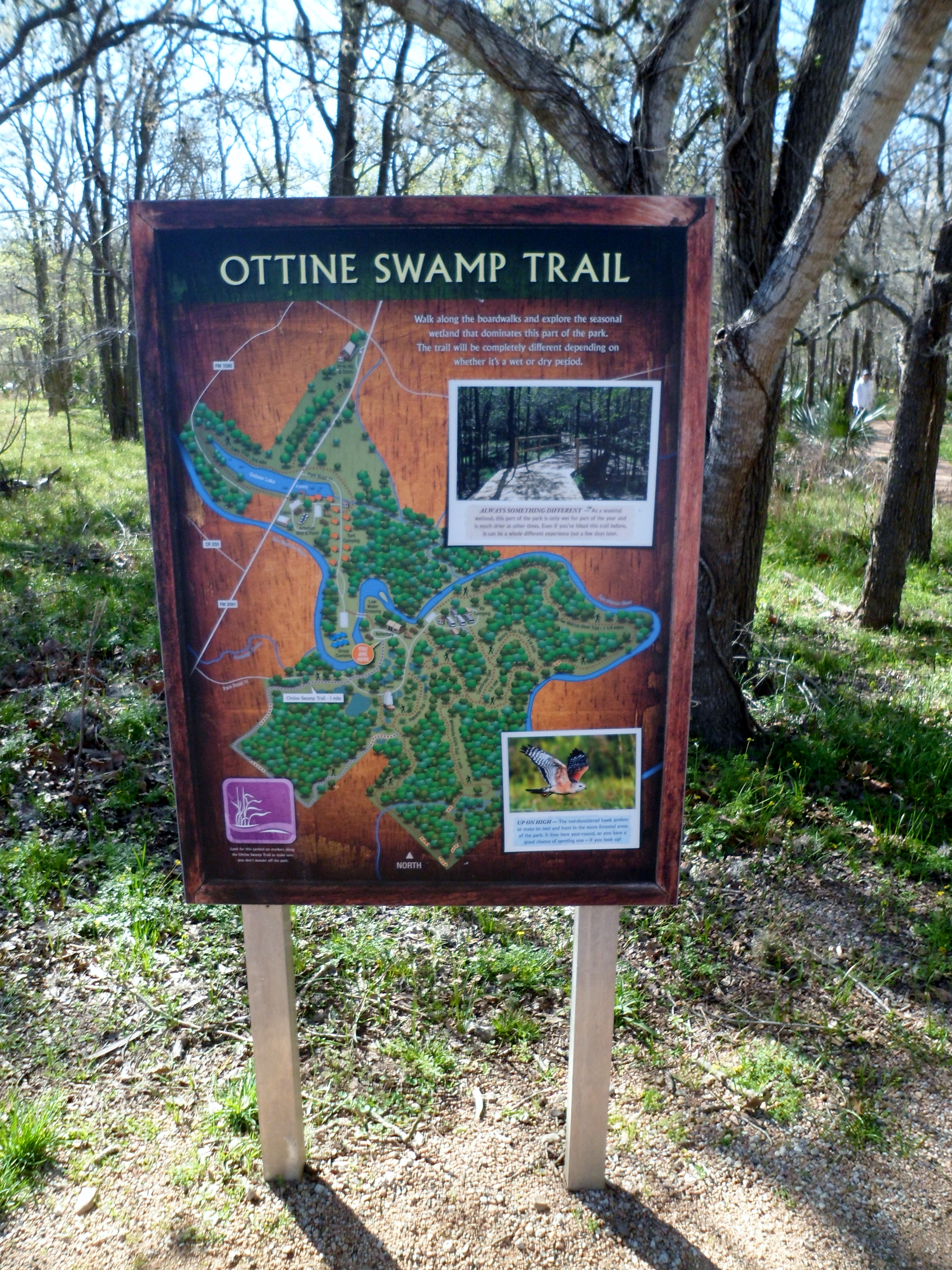

We connected to the Mesquite Flats Trail, which is aptly named, for another mile and then to the San Marcos River Trail to round out the 3.3 mile hike. It was level pretty much the whole way, but very pretty and so different from most of the Texas hikes we have done before.

I finally discovered (took 5 minutes to google) how to add more menus at the top of the blog, so I divided the posts into Texas, US, and International hikes. Considering there are over 80 Texas hikes, I may take some time later to further sub-divide those. But for now it’s a start. Can’t wait to add some more international hikes when we go to Canada this summer!
McKinney Roughs – 2/11/17
Saturday, February 11, 2017
McKinney Roughs Nature Park near Wyldwood, TX
Clear, cool, mid 70s
Ian, Court, Biff, Cray
3.9 miles
We are keeping the in-law’s lab, Cray, for a couple of weeks while they are in Patagonia (jealous) and we wanted to get her out on a hike. And us too of course. Court got a new daypack (Gregory Maya 16) of her own for our trips to the mountains this summer and we needed to test it out too. McKinney Roughs is one of our favorite spots that is close to town and never crowded.

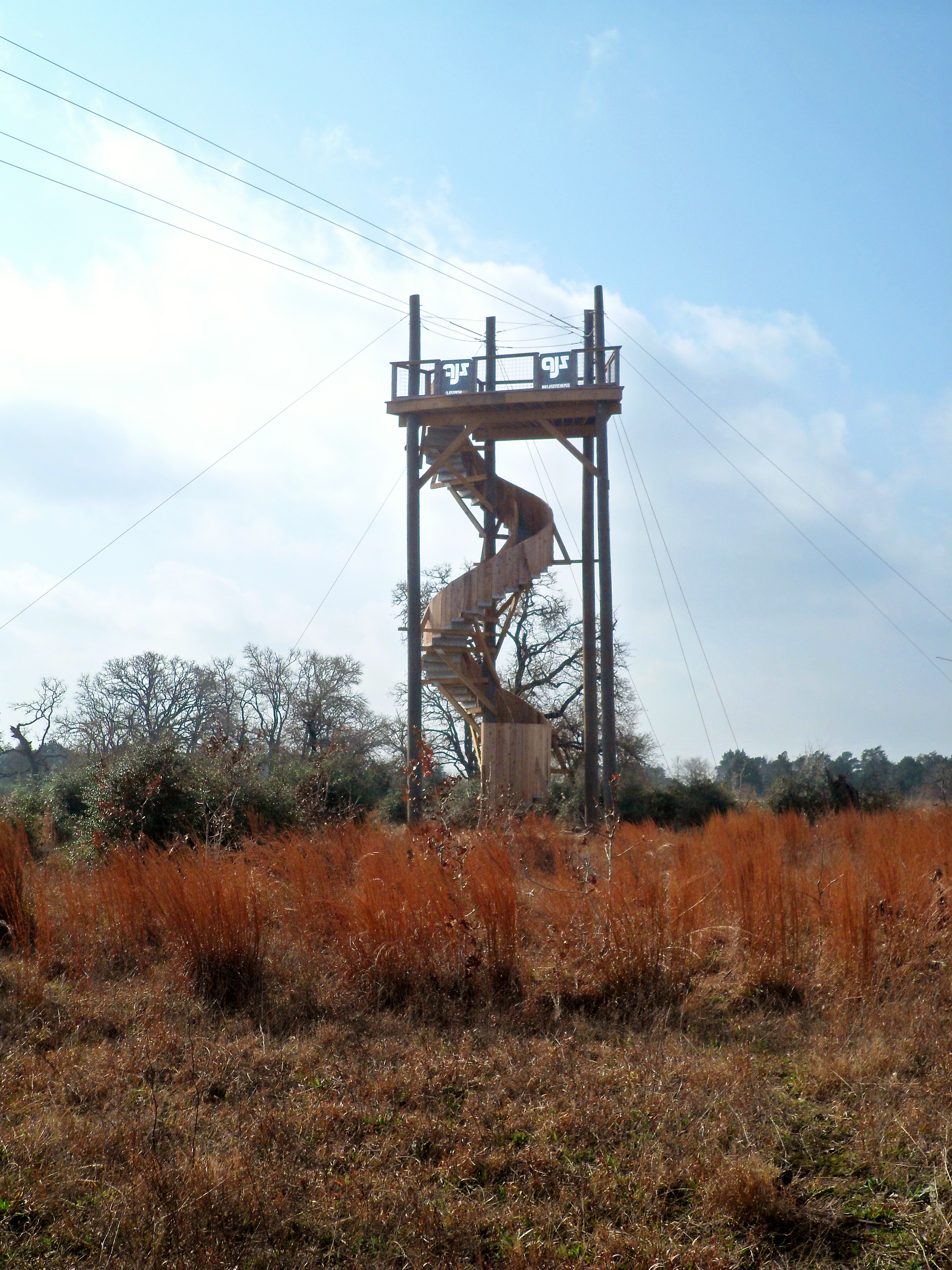
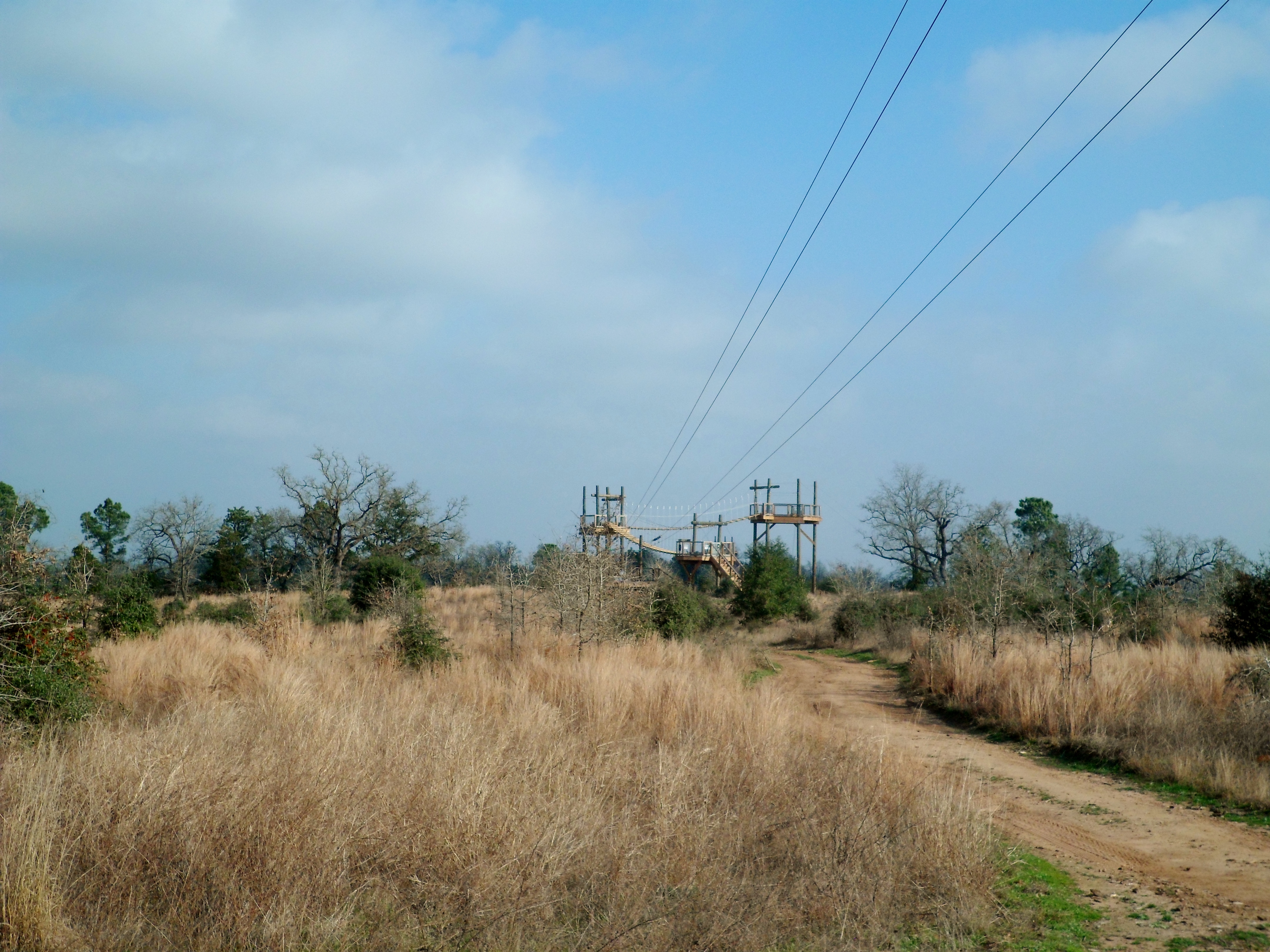
We did a reverse loop of the first time we hiked here back in June of 2015. One of the more interesting aspects this time was they are constructing a zip line tour through the park. It looks to be about 80% finished and, while it is a bit of an eyesore, I hope it does well and brings in funds to the park. We will probably try it out once it is complete. We haven’t been zip lining since we got married in Costa Rica two years ago.

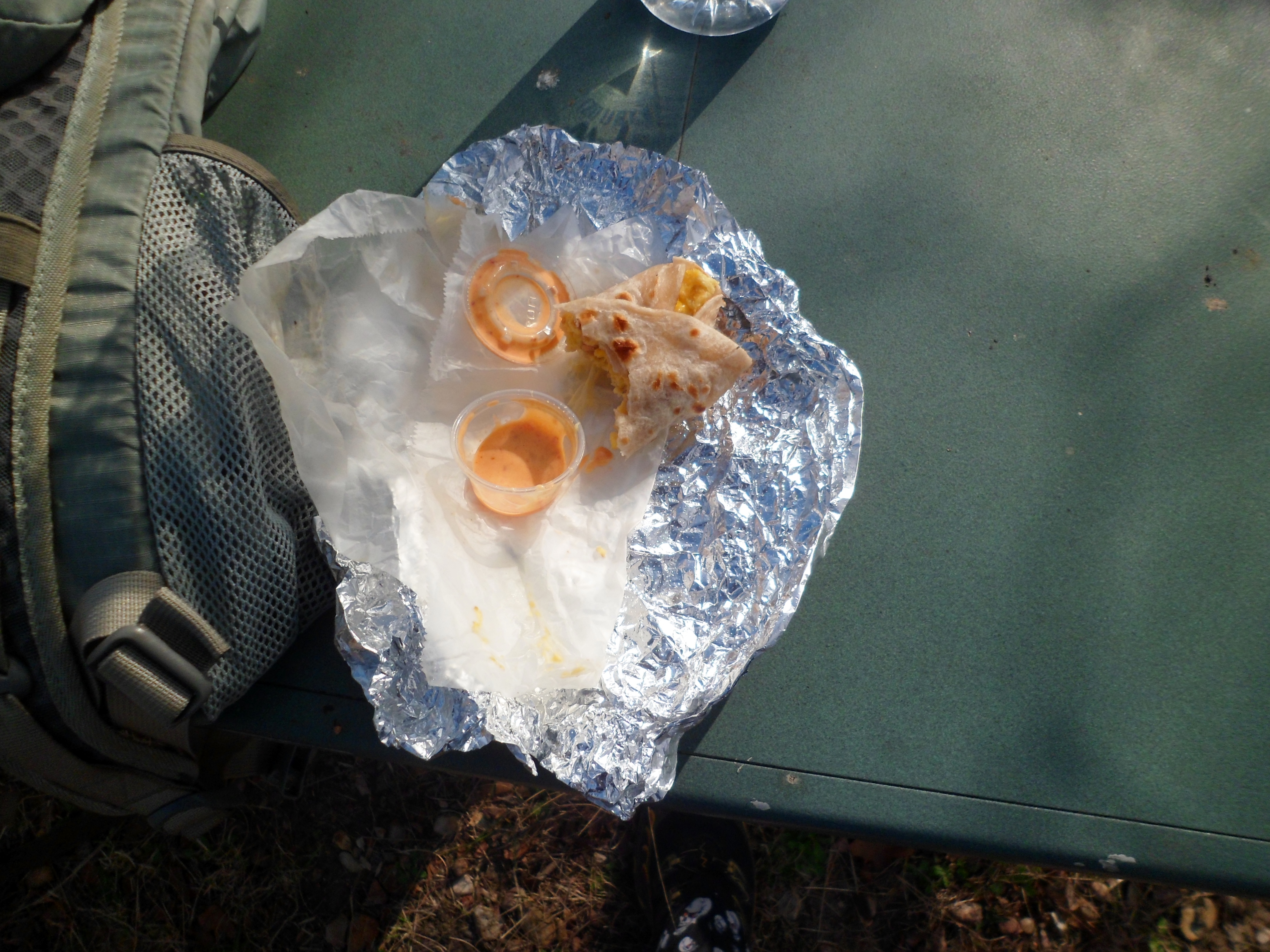
When we got to the high point of the hike with the best views we busted out the breakfast tacos we had gotten from Taco Joint (one of the best breakfast taco places in all of Austin…shhh) on the way out. Warm Texas hiking in February and breakfast tacos. That’s a good morning.
After breakfast we followed the trail down the switchbacks and to the Colorado River where the dogs took a swim. Biff is getting better with water, but still won’t go in where his feet can’t touch bottom.

After some quick swimming we headed back up the tough 45 degree trail to the top of the trail head and back to the car. Successful hike and the dogs did great.


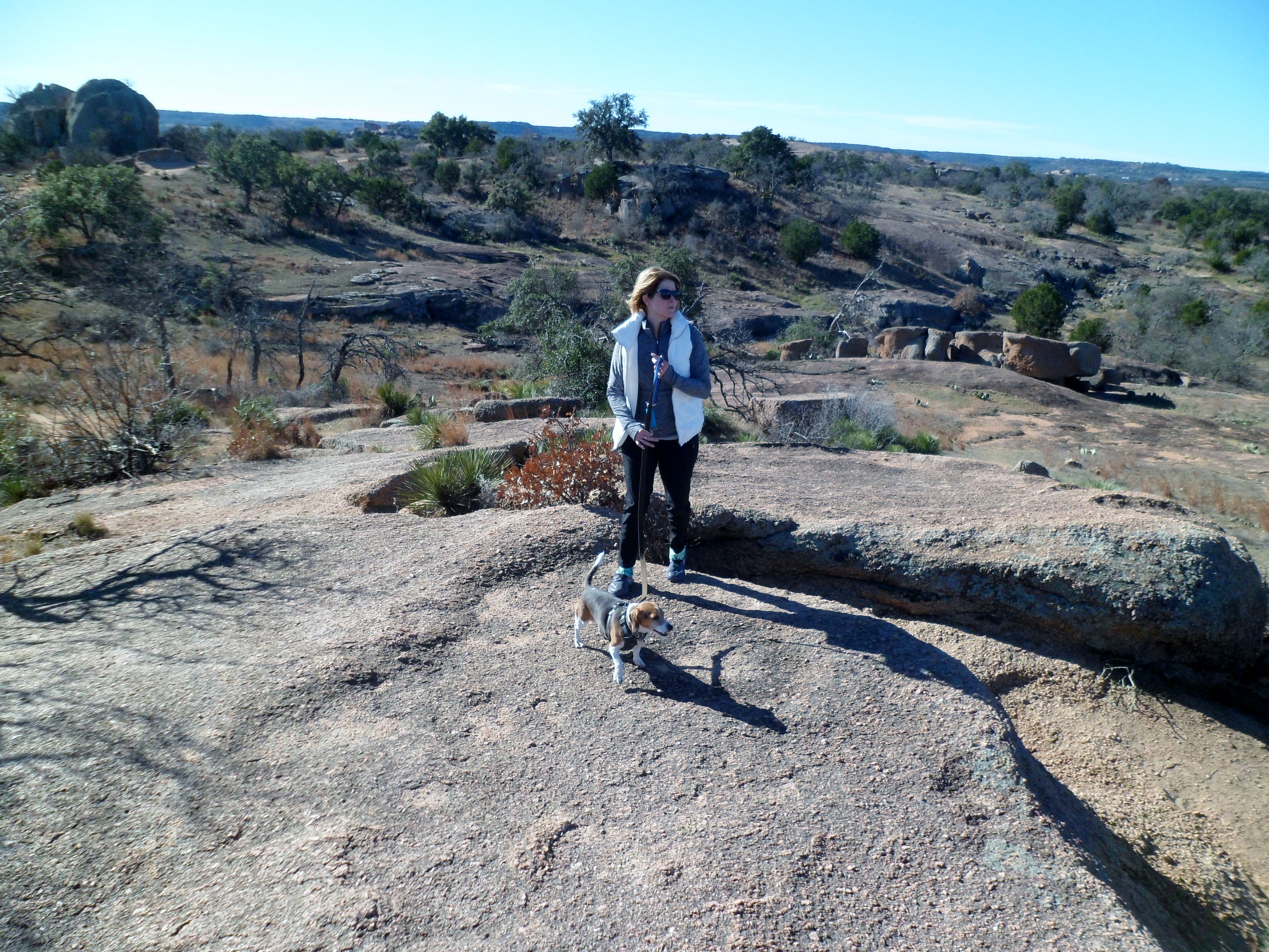
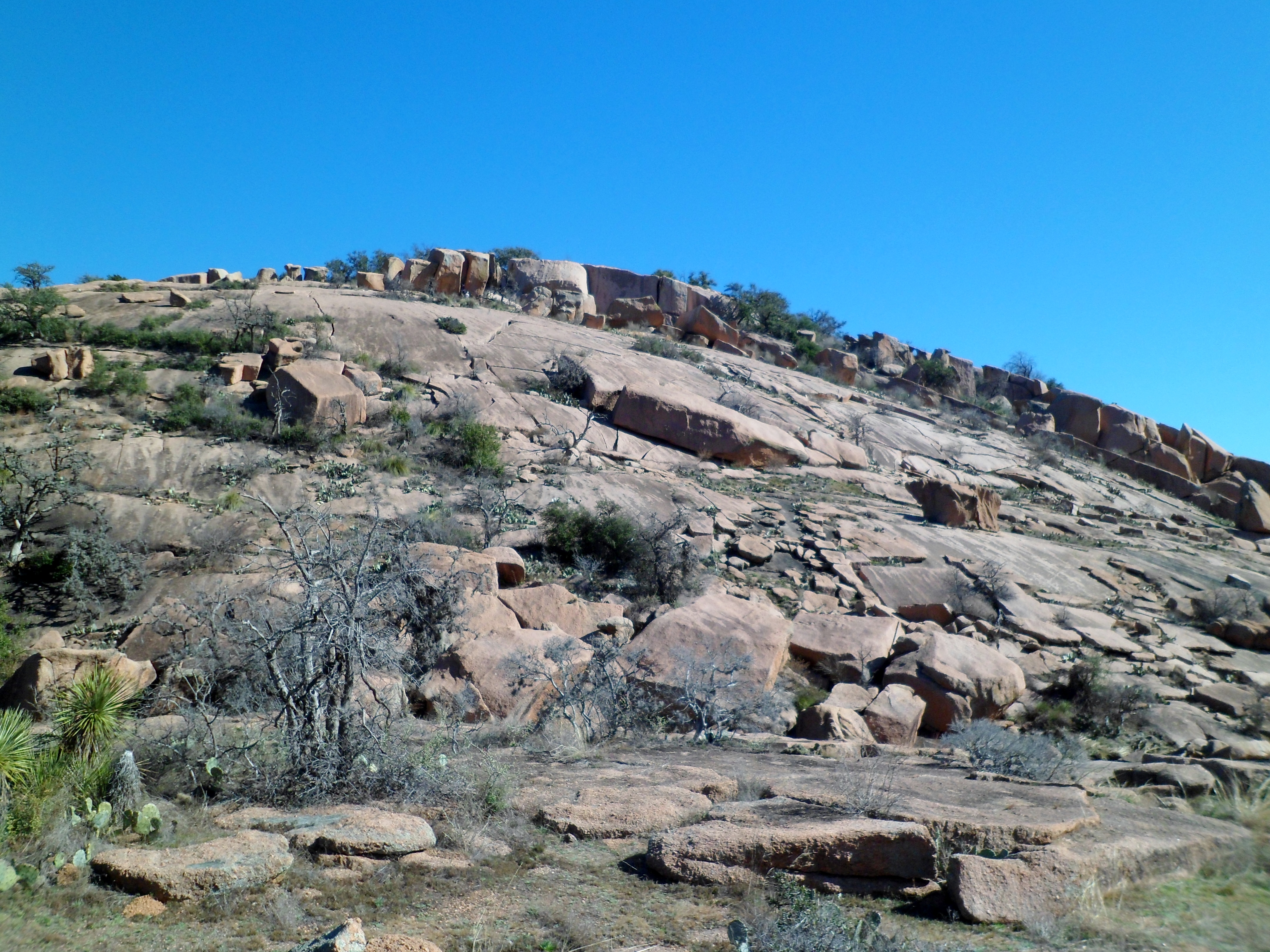
Enchanted Rock – Loop Trail 1/29/17
Sunday, January 29, 2017
Enchanted Rock – Loop Trail
Clear, sunny, comfortable, low 70s
Ian, Court, and Biff
5.2 miles
We drove out to Fredericksburg on Friday for our anniversary, as we usually do every year, and hiked the Loop Trail around Enchanted Rock on Sunday morning. It turns out, the Loop Trail is the only trail dogs are allowed on, but I had kinda planned on doing that trail anyway.
The morning actually started out a bit chilly. We had to get out to the park somewhat early, as the lines to get in get very long and the park actually usually closes by 11am on weekends due to the crowds. Starting the trail in our puffy jackets, we gained a little elevation and soon has some pretty nice views of the surrounding country.

The streams were flowing nicely, which is not always the case in this part of the state.


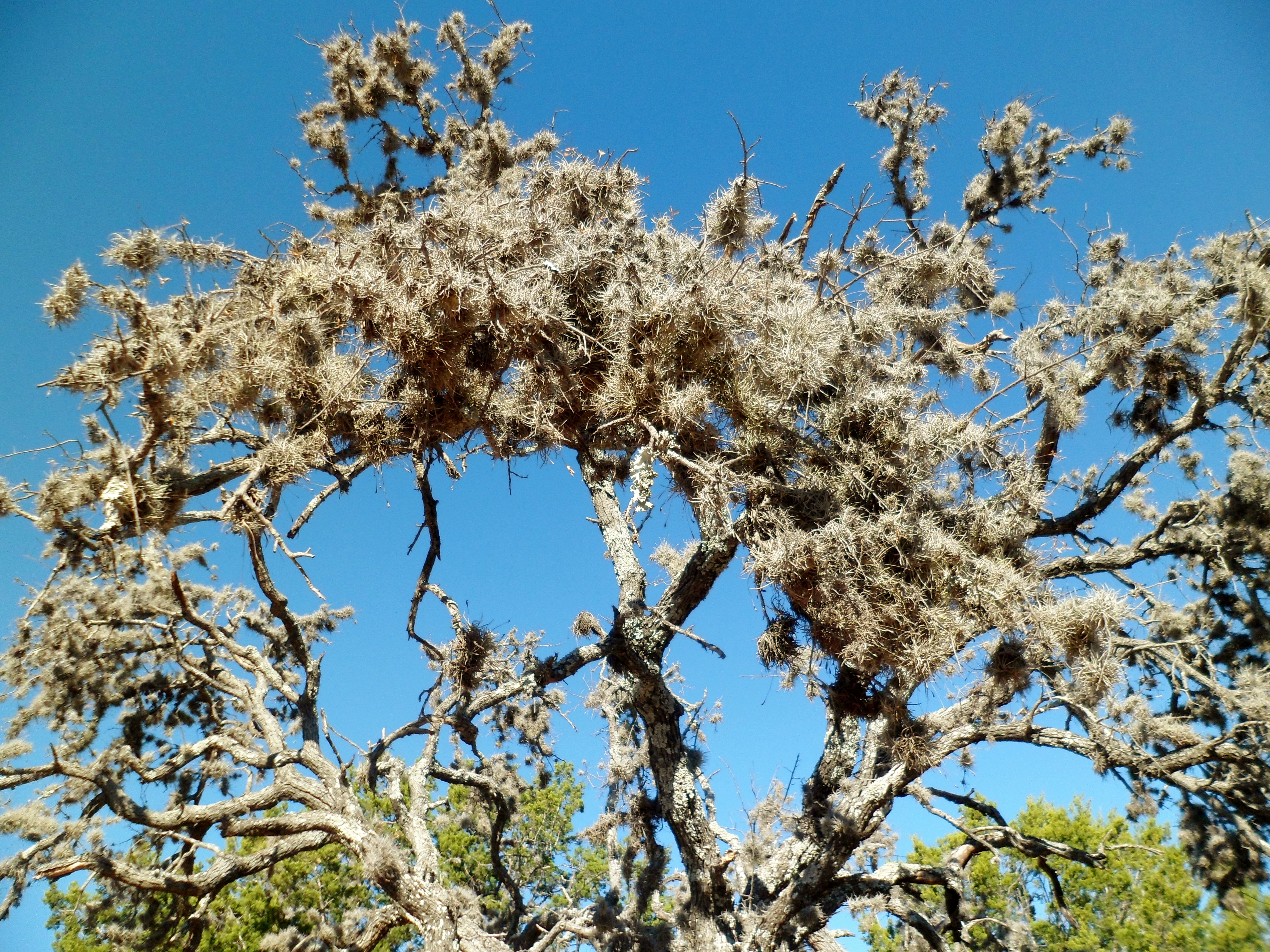
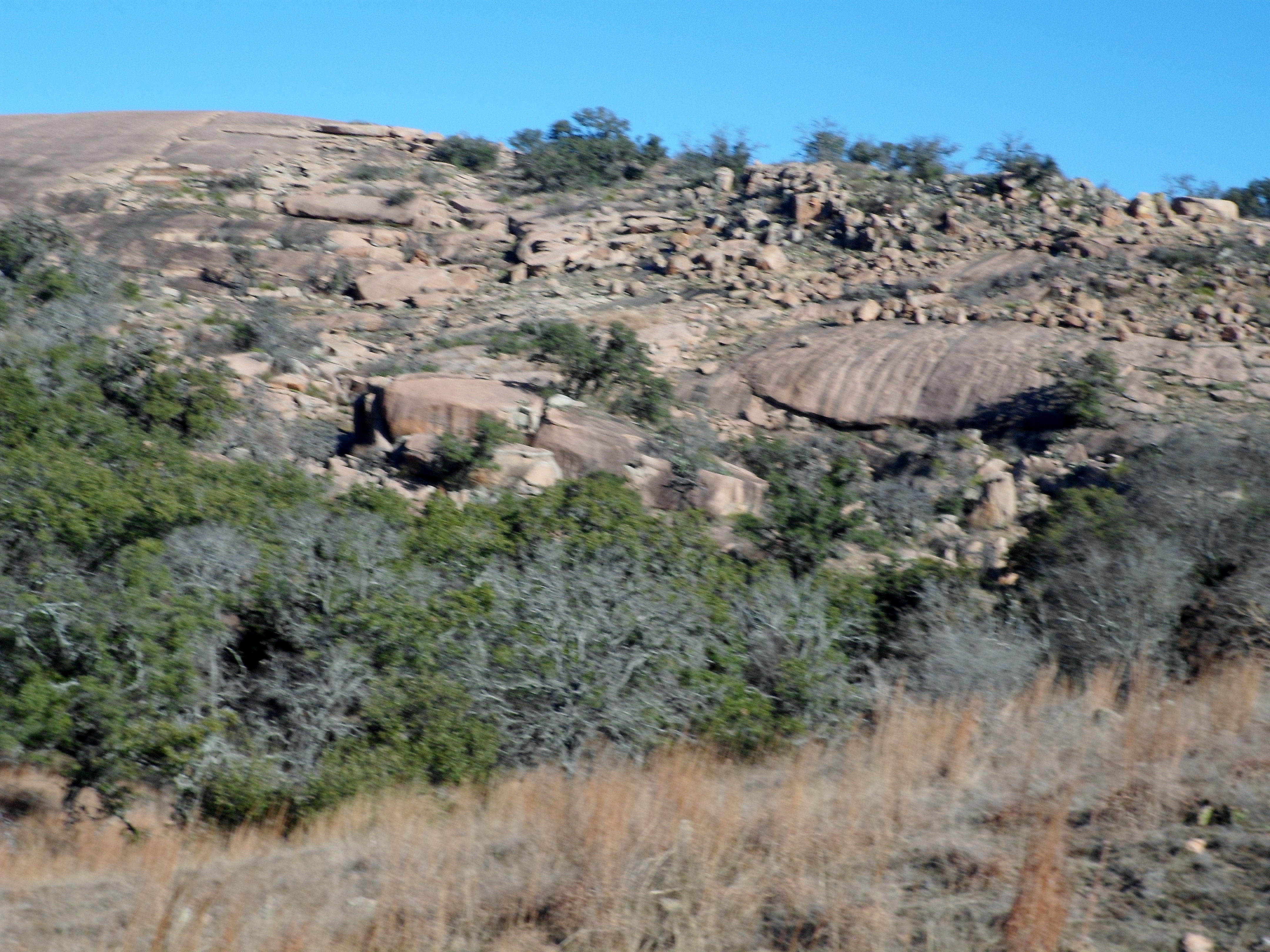
As we wound around Enchanted Rock, we got better and better views of the rock itself and the large granite slabs that clung to it. I wondered aloud what it would be like to witness one of these house-sized slabs come sliding down the side of the massive rock.


We reached Sandy Creek and the trail followed it for about the last 1/4 of the route, back toward the parking area. We had to cross one time and got our feet wet. The water was very cold, but felt good after about a 4 mile dusty hike.


We got to the end of the trail and walked through the parking lots back to the trail head. As we headed out, the park entrance was indeed closed to new traffic. We’ve got some good hikes set up for this coming year and are starting to gear up for the new season.

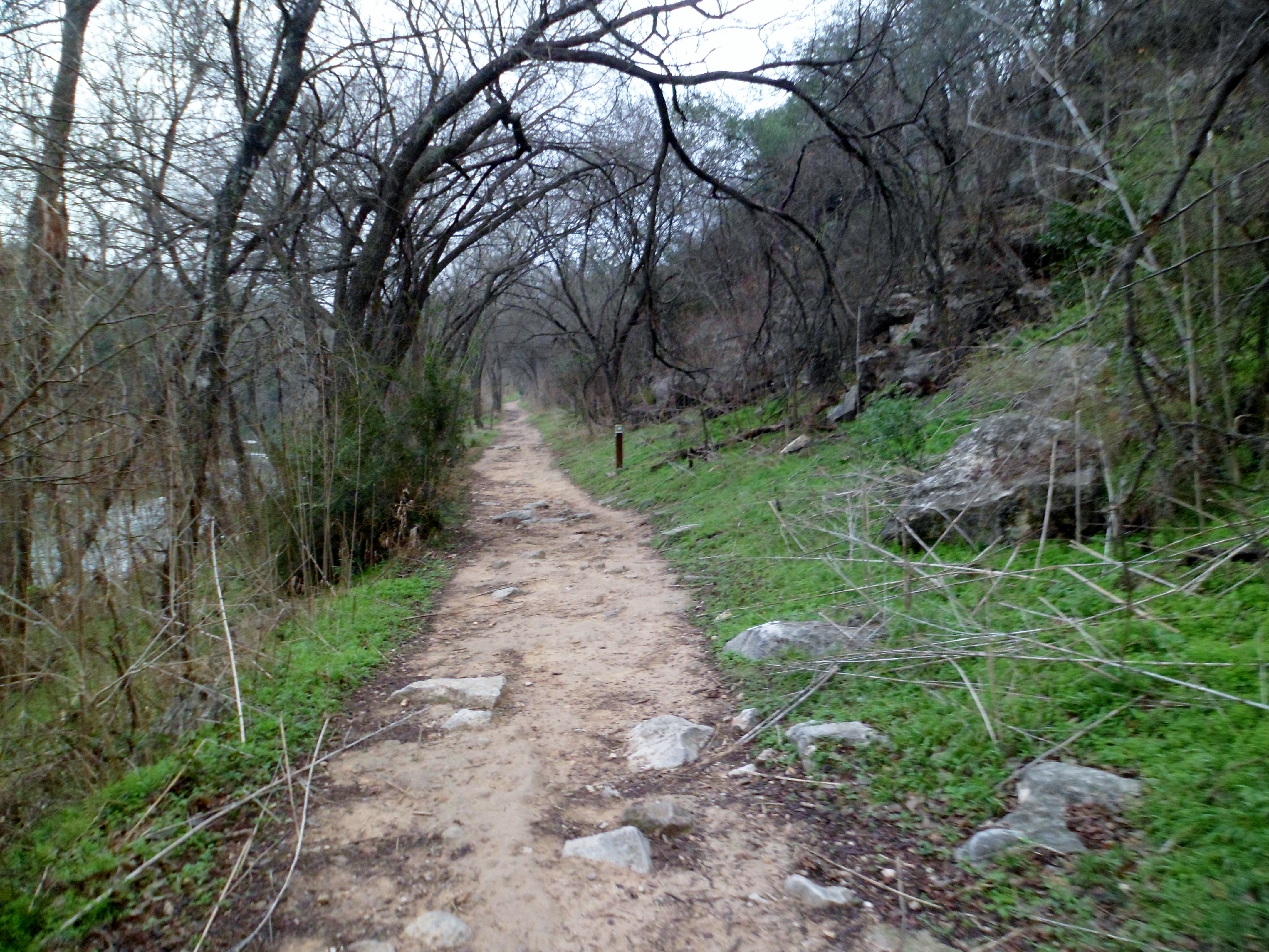
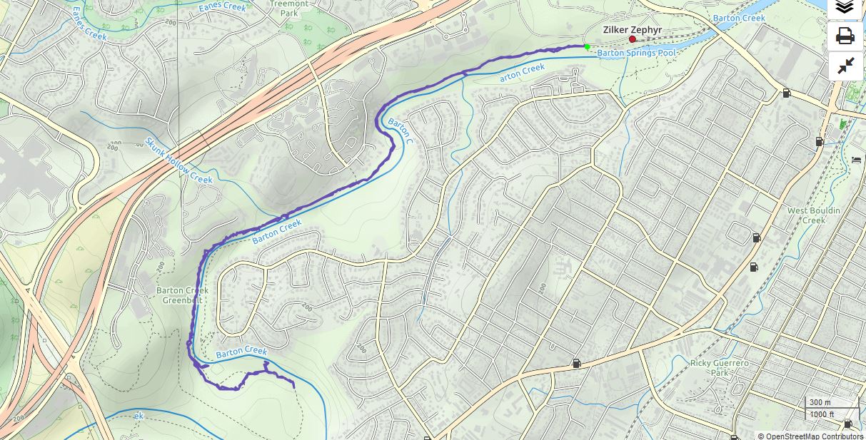
Violet Crown Trail (Barton Creek Greenbelt) 1/21/17
Saturday, January 21, 2017
Violet Crown Trail (Barton Creek Greenbelt)
Cool, Overcast, 60s
Ian, Court, and Biff
5.7 miles
We hadn’t been hiking in almost 2 months so by god it was time to go. A combination of holiday travel, just being busy, and crappy weather on the weekends had kept us from the trails, but no more!
We headed out early on Saturday morning to get to the trail head before 8am when they start charging for parking. Since it was a pretty gray and foggy morning, there were few other cars in the lot at Barton Springs Pool. We headed down the familiar trail.

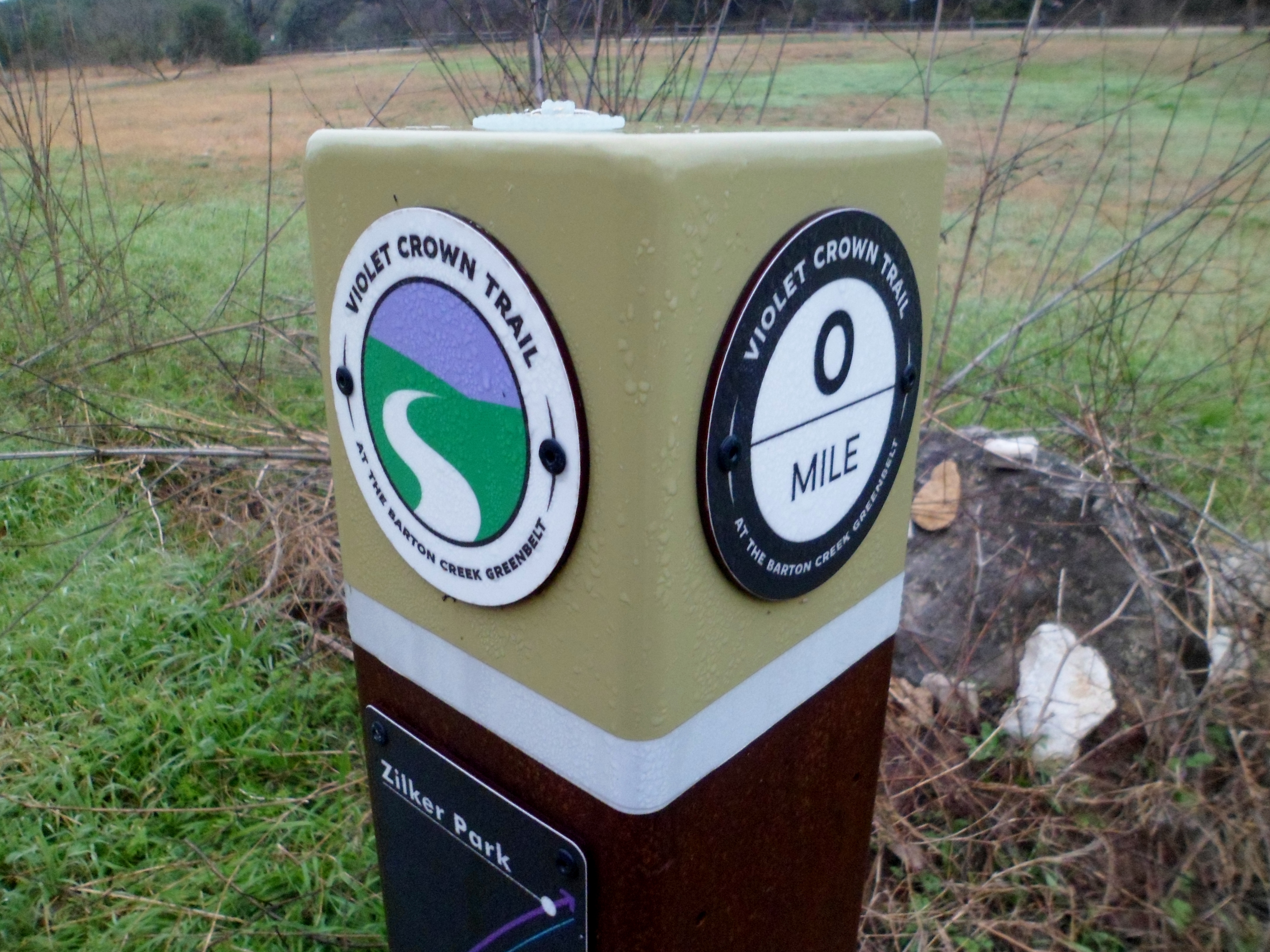
We’ve had a wet January so the water is way up right now and made crossing the creek unwise. Biff had a blast and it was good to be out on the trail after so long. We stayed on the main trail for about an hour and a half before turning back, as we were going to march at the Capitol at noon. I’ll include a couple of those pics at the end too.


Women’s Rights March at the Capitol


Garner State Park 11/25/16 – 11/27/16
Friday, November 25 – Sunday, November 27, 2016
Garner State Park – near Concan, TX
Ian, Court, Biff, Greg, Cat, Sam
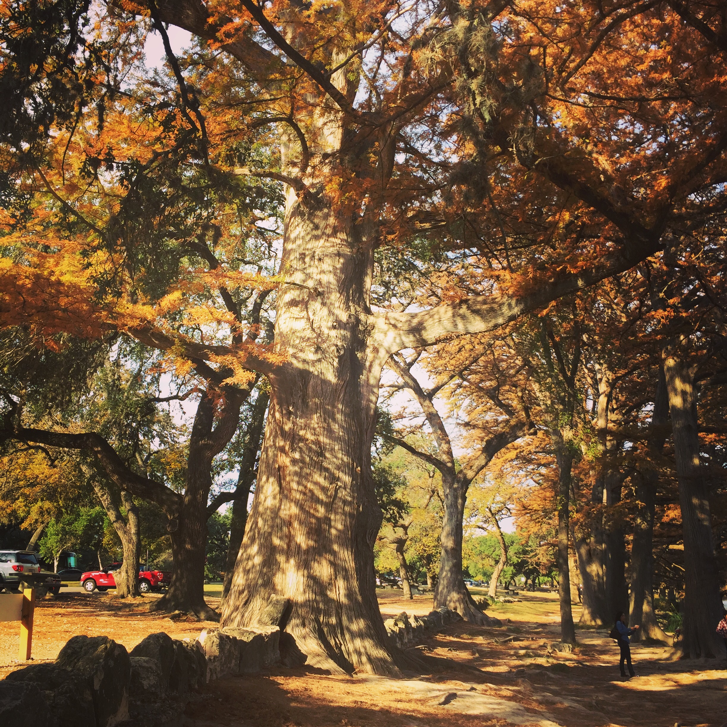
The four of us and the two dogs car camped for a couple of nights out at Garner State Park over the Thanksgiving weekend. I had never been to Garner, but had always heard good things. The Frio River is the main attraction here, but in fall, it’s a bit chilly to swim, although there were quite a few people that were in the water, nonetheless. It is November in Texas, so “chilly” means 50s and 60s.
We made the three hour drive from Austin on Friday morning and stood in line for about 20 minutes to get our campsite. I heard every state park in Texas was at capacity this weekend. The campsite situation is different than most parks I’ve been to. They are very exposed. Essentially the sites, in “Old Garner” are just a big field surrounded by the cliffs and hills on one side and the Frio on the other. We were within 20 yards of about 8 other sites with no trees in between, so privacy and solitude was not an option. It worked out ok though.


After setting up camp we had a couple of hours before the sun went down so we went on an improvised hike along the river and up to the old CCC building where they have dances in the summer. Heading back towards the campsite, we came to a trail head where three people were just finishing up. They told us to head up to the Crystal Cave and that it was only about 2/3 of a mile. Following their advice, we started up the rocky trail.
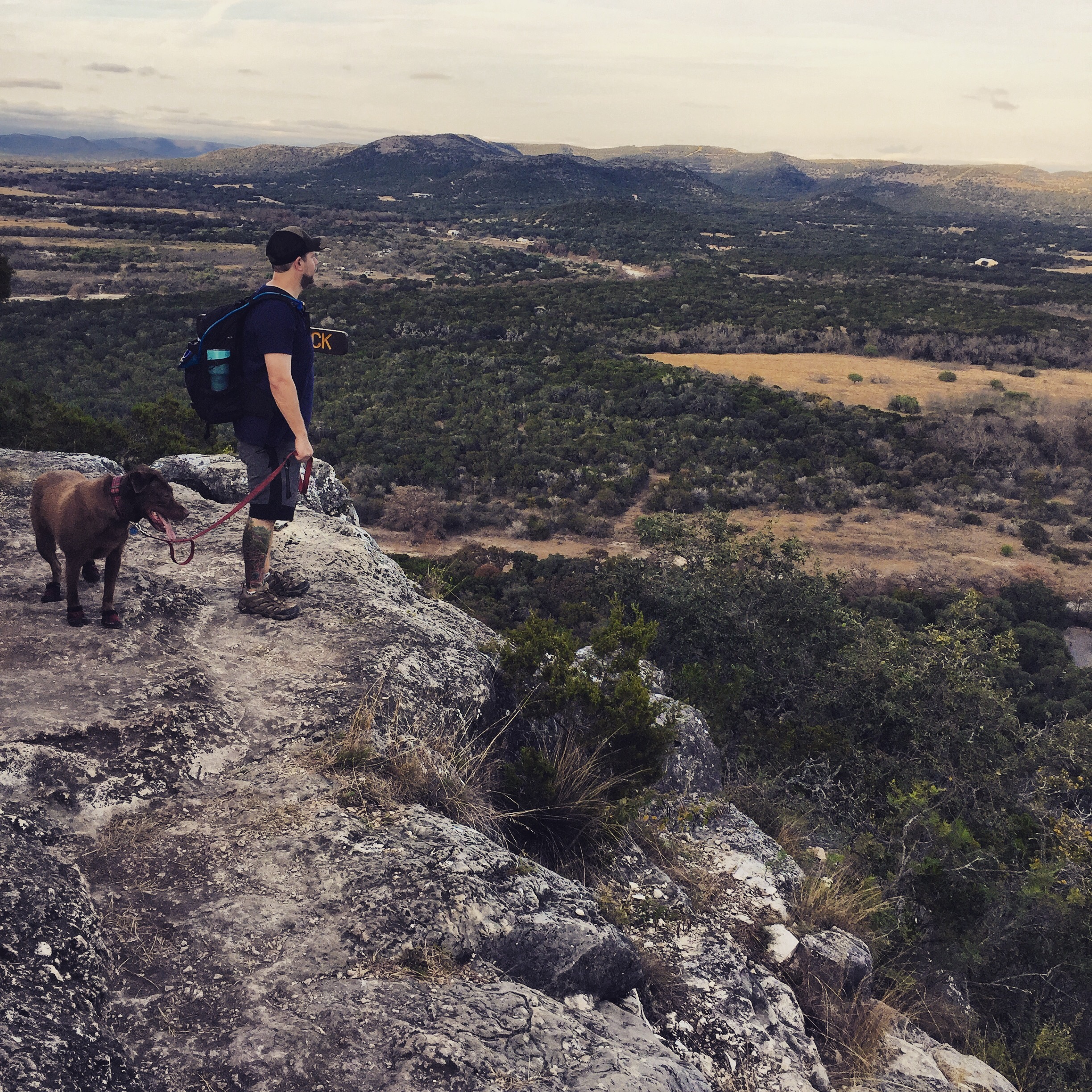

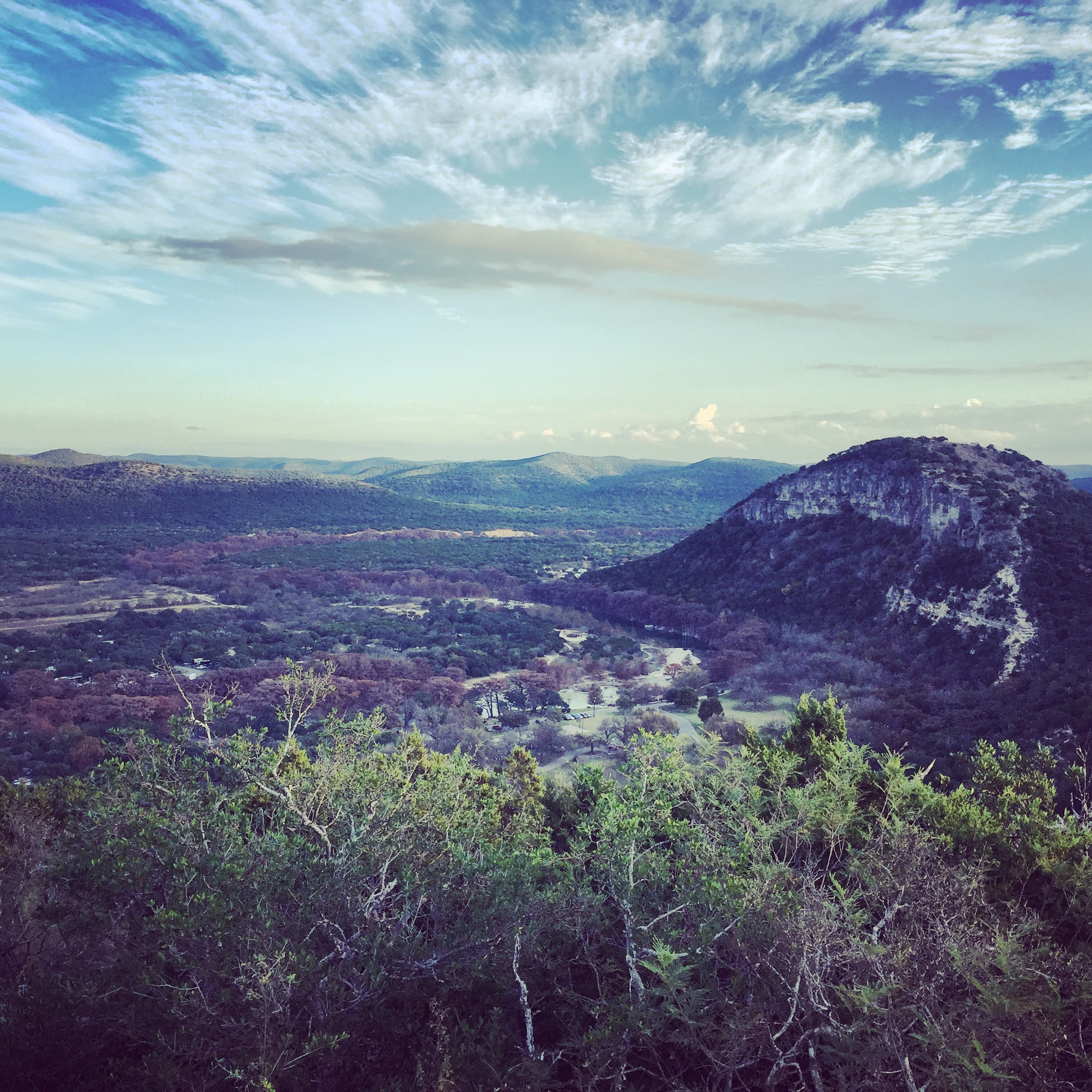


Well that 2/3 of a mile ended up being straight up and somewhat challenging, but we made it and explored the cave for a brief time. The sun was dwindling so we headed down the other direction on the trail and, after a nice overlook of Old Baldy and the campsites, we switchbacked down to the main road.
We made our foil packet dinners (thanks Court) over the campfire and got to bed relatively early in preparation for a sunrise hike, despite being serenaded by a random trumpet playing child who sounded like he could use the practice.
The next morning we woke around 6am and started to head up the trail to Old Baldy, the iconic dome at the south end of the park, hoping to get some sunrise photos. It quickly became apparent that the trail was even steeper than the Crystal Cave trail and with Biff and hiking poles, it just wasn’t going to happen for Court and I, so we headed down to drop off the poles and choose another trail, while Greg, Cat, and Sam continued up.
We spent the rest of the day playing cards, attempting to watch football via smart phone (Greg is a Michigan fan and they were playing Ohio State) and sitting around the fire.
Aside from the crowds, which were expected, the park was very pretty and has some tough trails. We should come back in the summer to take advantage of the river.
EDIT: forgot to mention that we tried out our new sleeping pads, Thermarest NeoAir XLites and they were a resounding success. We both were much more comfortable than with the Big Agnes Double Z’s, which always felt like sleeping on pool floats. We were much warmer (R value of 3.2 compared to about 1.5) and the “noise” complaints that I’ve heard a lot of people have with the XLites was a non-issue. I was able to sleep on my side without waking up to sore hips or joints. Extremely happy with the decision. They are a bit pricey, but I put them in the “you get what you pay for” category.


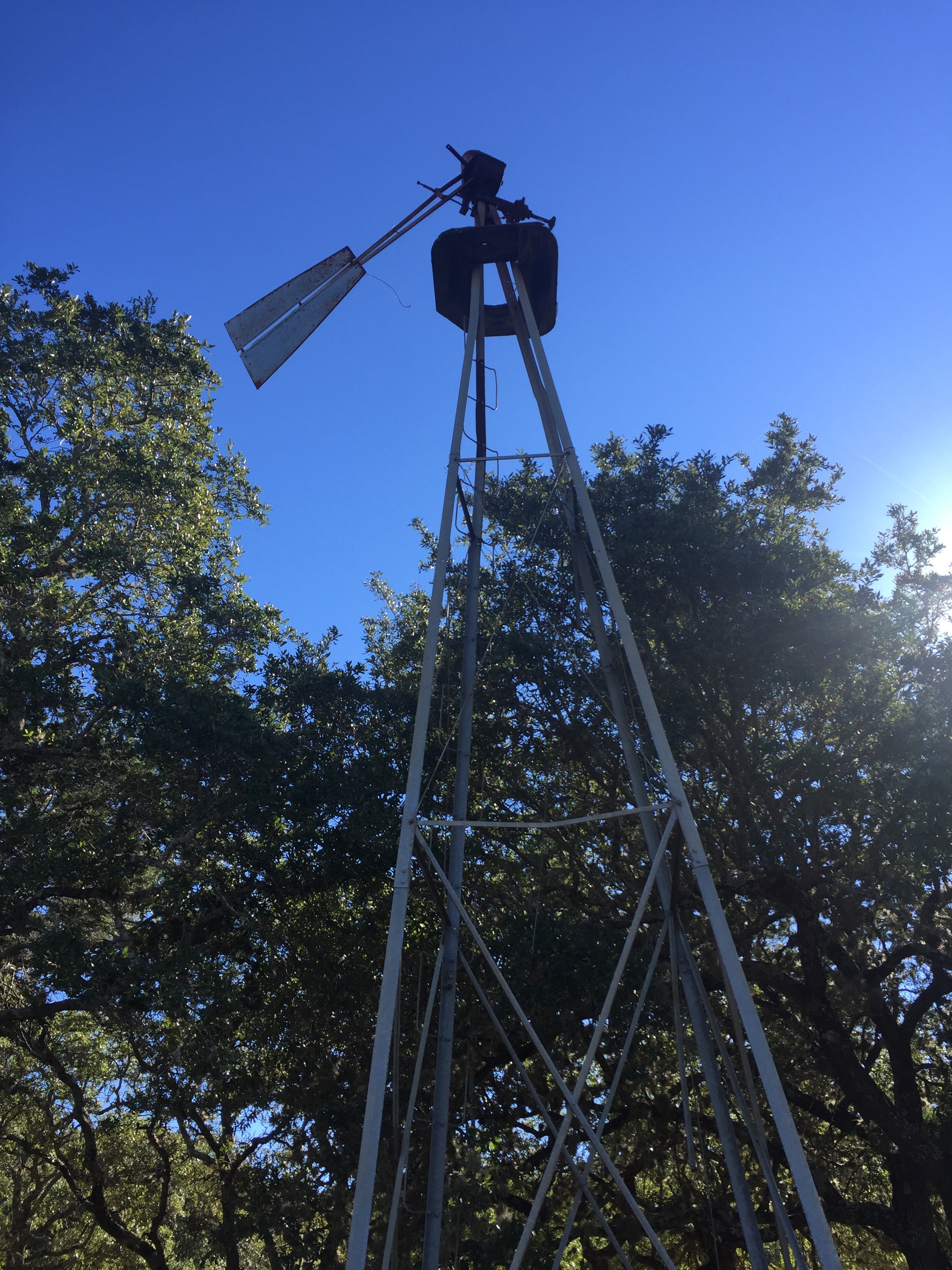
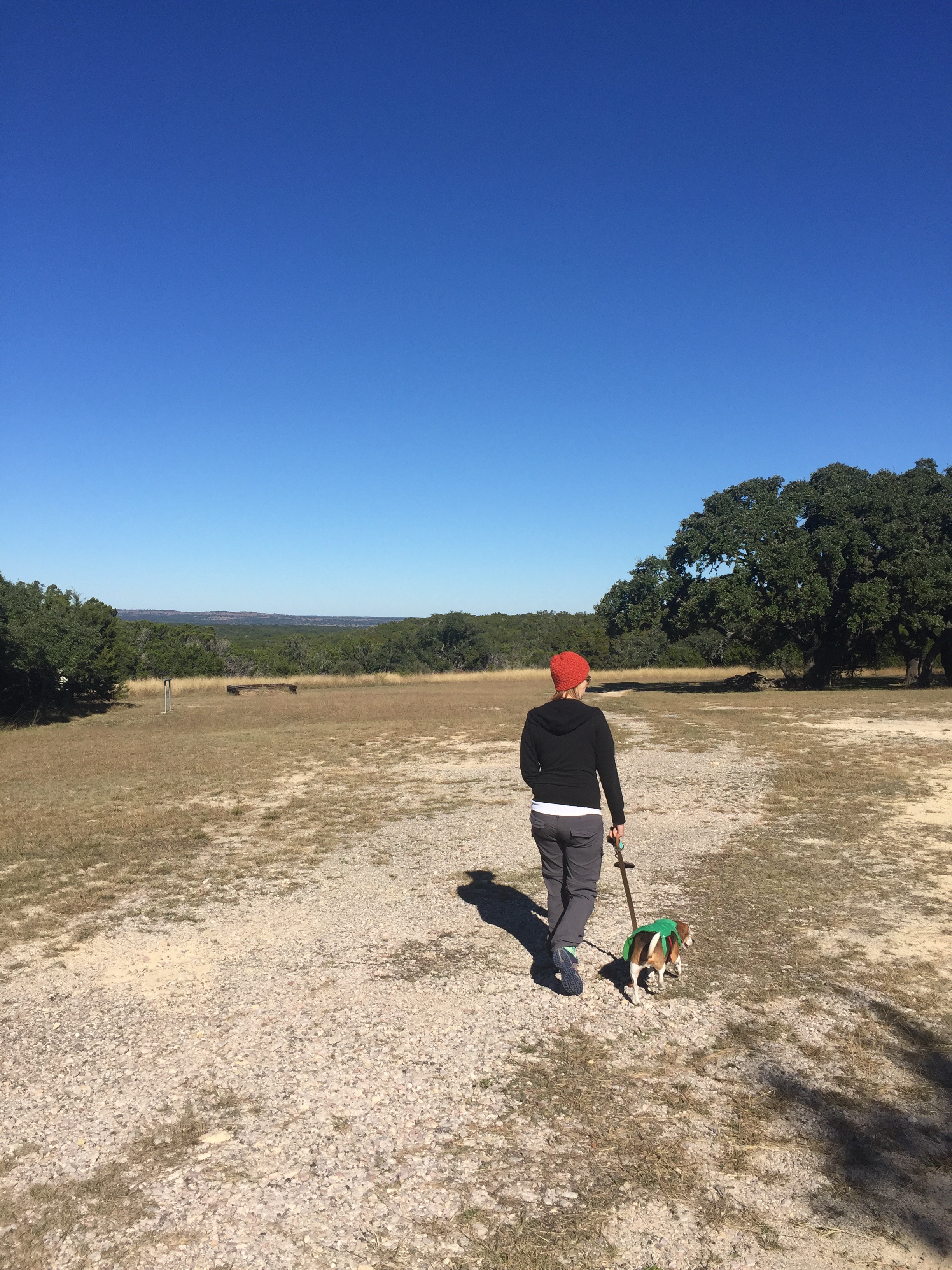
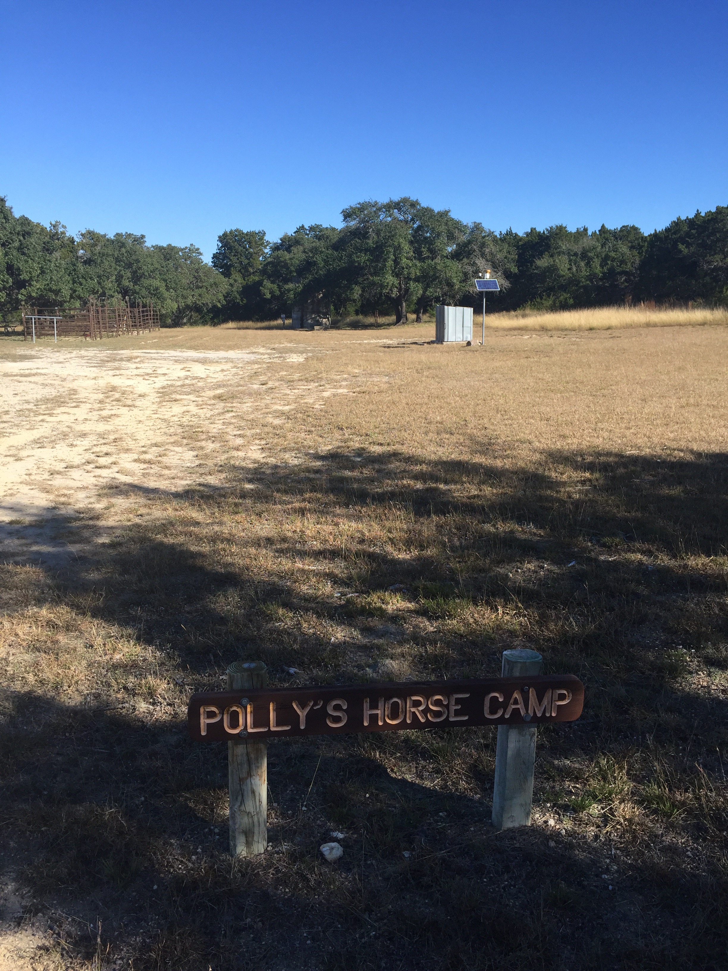
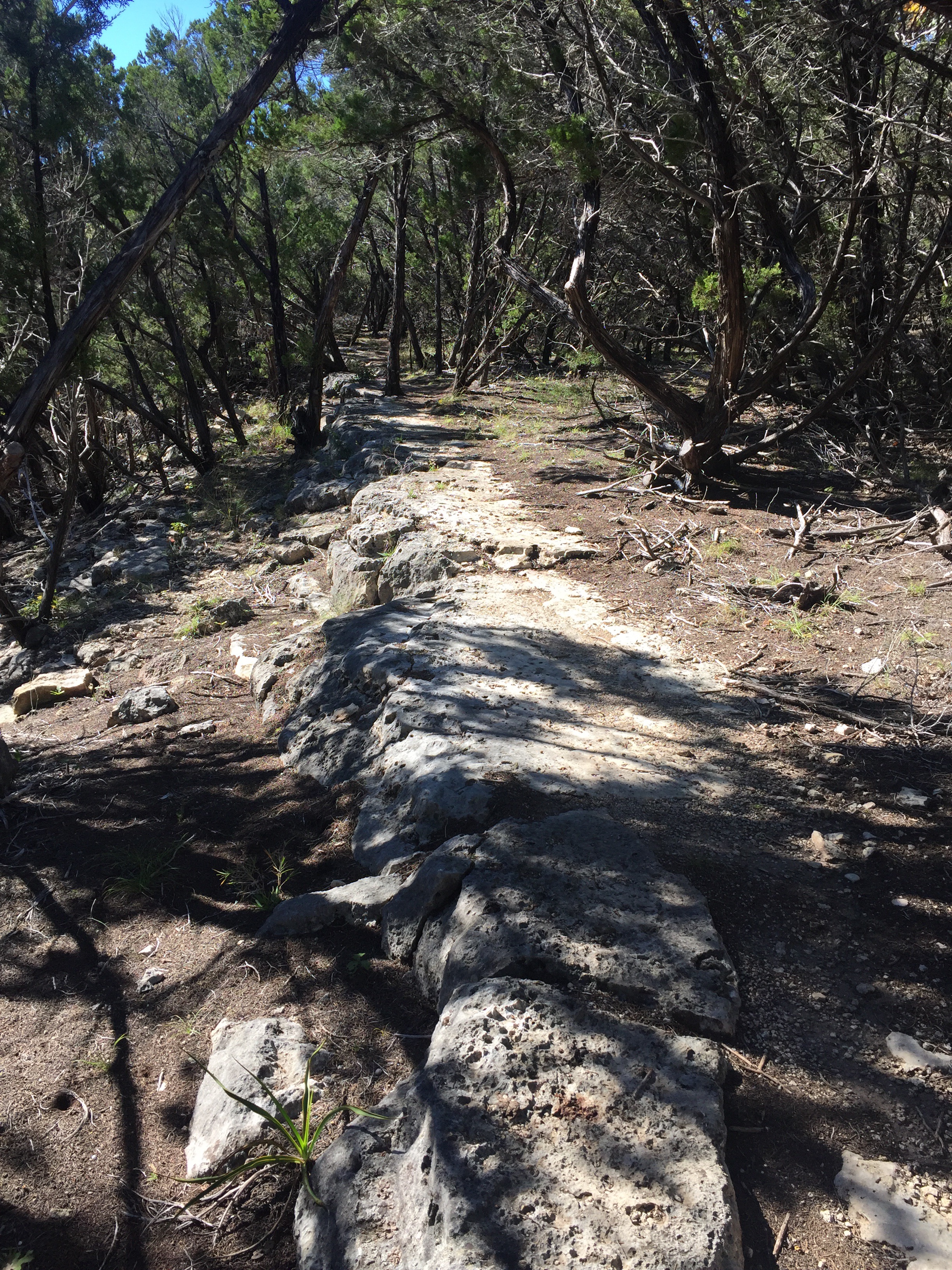
Pedernales Falls SP – Juniper Ridge and Madrone Trails 11/20/16
Sunday, November 20, 2016
Hike: Juniper Ridge and Madrone Trails – Pedernales Falls State Park – Near Dripping Springs, TX
Weather: Clear, cool, mid 60s
Hikers: Ian, Court, Biff
Length: 5.5 miles
We hit up Pedernales State Park again to get some more of the new southern trails hiked. We started off on an equestrian trail that went by a horse camp until we hit the Juniper Ridge Trail and then followed it to the junction with the Madrone Trail and took that back to the parking lot. It was a nice loop, though somewhat uneventful, but it was a perfect hike to get back into the swing of things around Austin, since we have been hiking out of state lately.


The weather finally turned cooler in Texas and it felt great to be walking through the woods today. Court spotted a doe who was doing her best to stay still and camouflaged while we walked by. She never moved, but we knew she was there. I didn’t have the presence of mind to get a picture though.
There were a couple of creeks that were barely running, but they were still pretty. Biff enjoyed himself off leash the whole time and was very good. There are still plenty of trails left to hike in this park, so we’ll be back plenty I’m sure.


Recent Comments