Pierce Wanderings
Texas Hiking (and elsewhere)
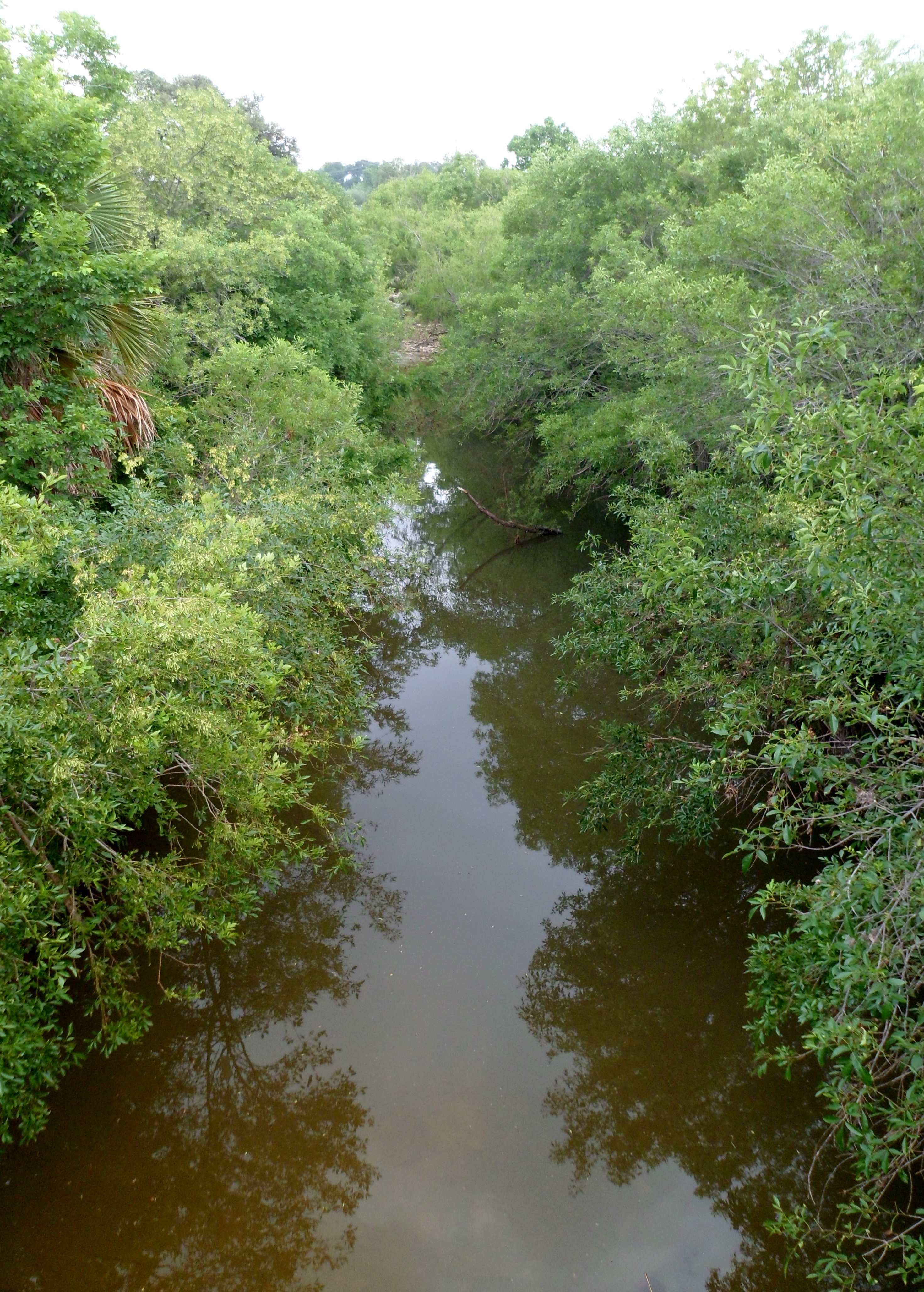
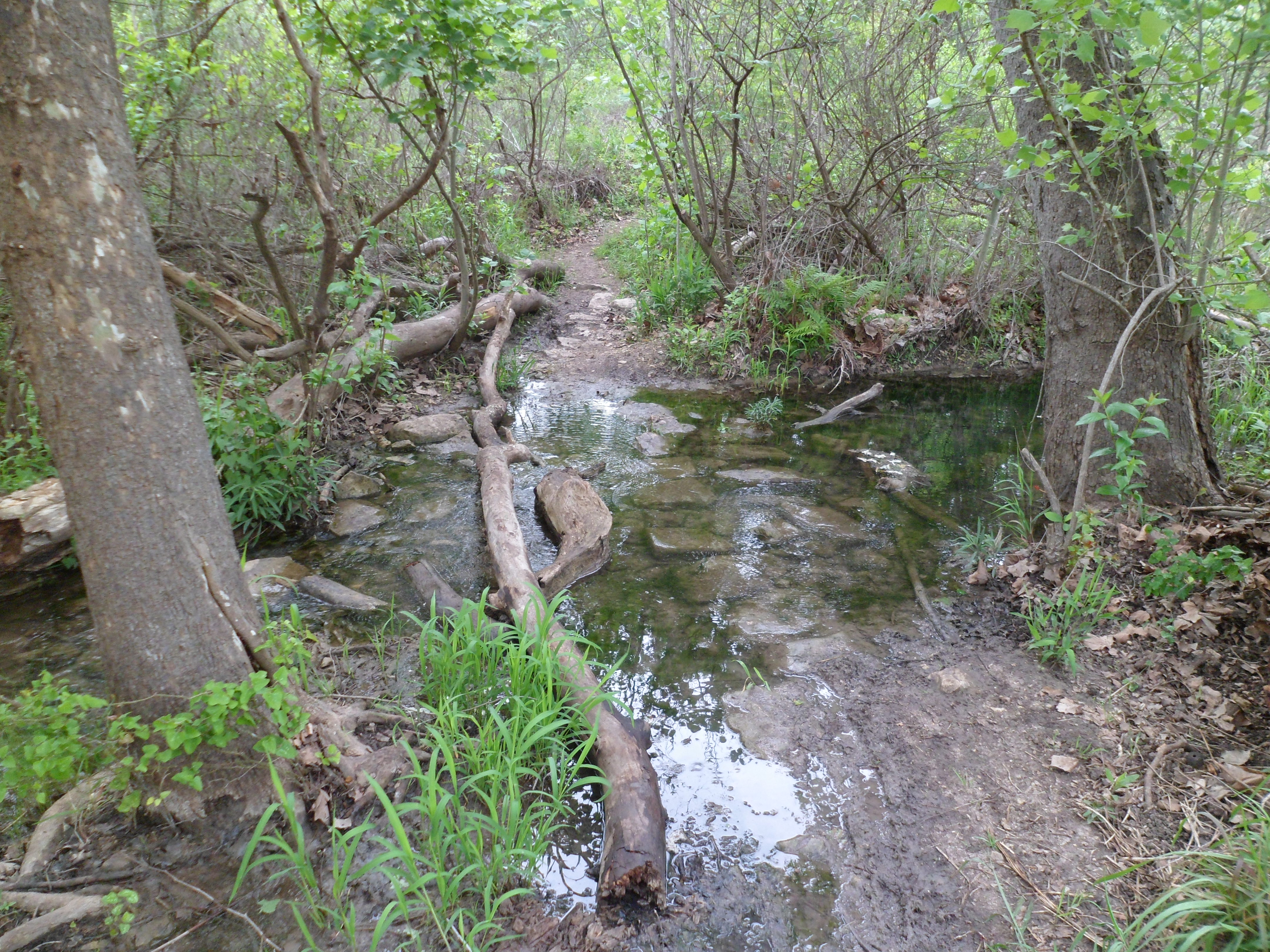
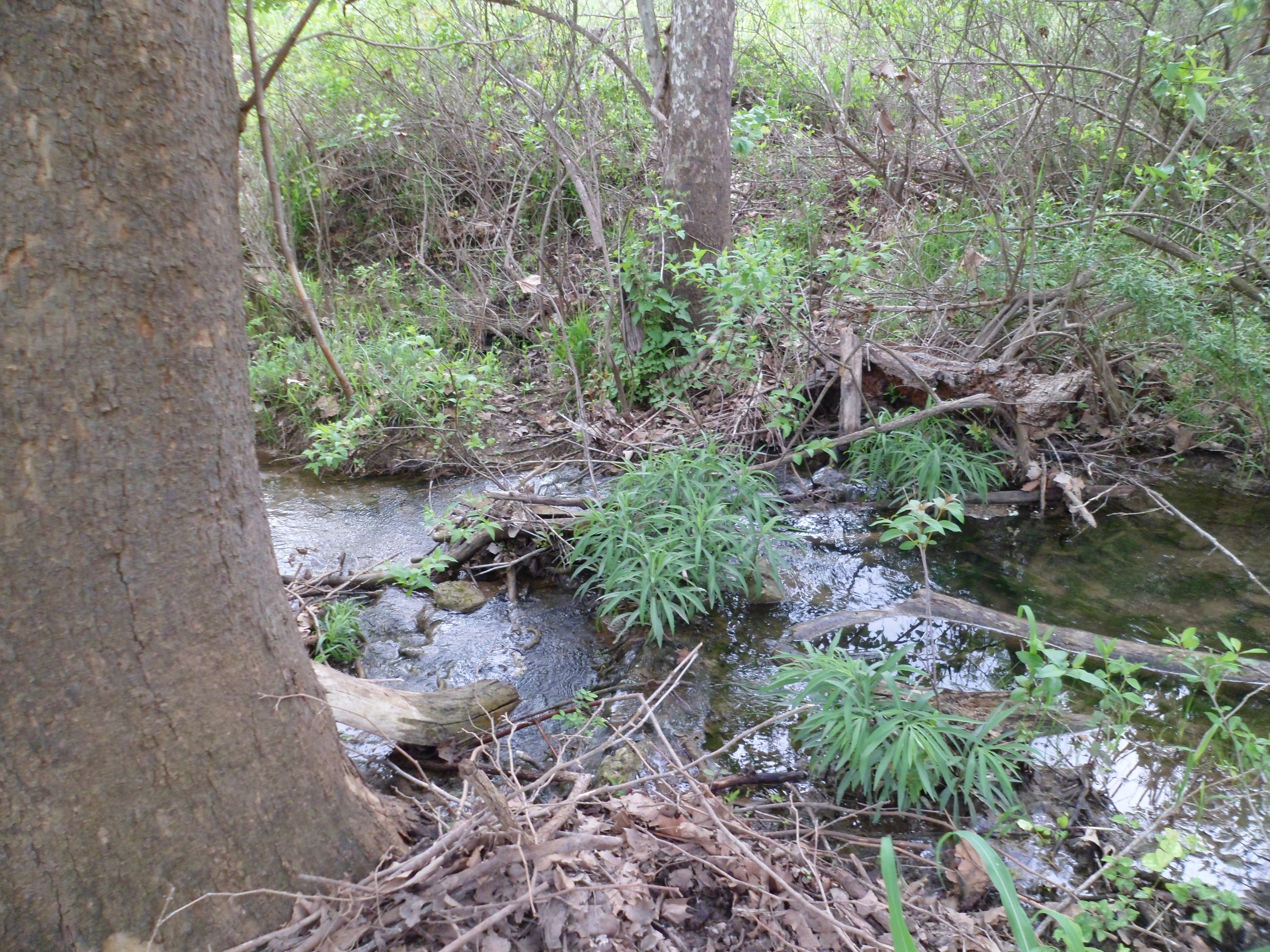
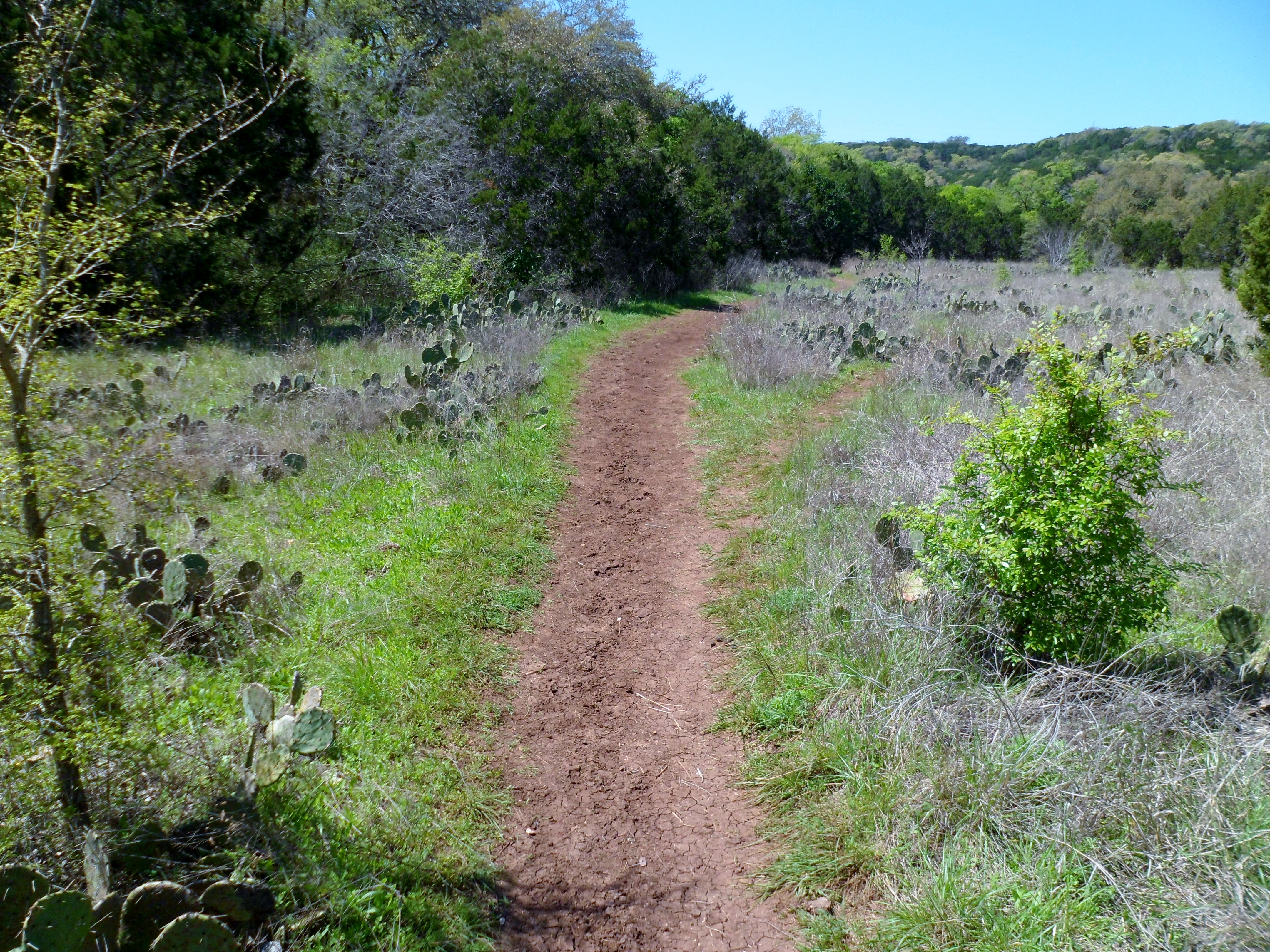
Shoal Creek Trail 5/9/15
Saturday, May 9th, 2015
Hike: Shoal Creek Trail, Austin, TX
Weather: HUMID, upper 80s, cloudy
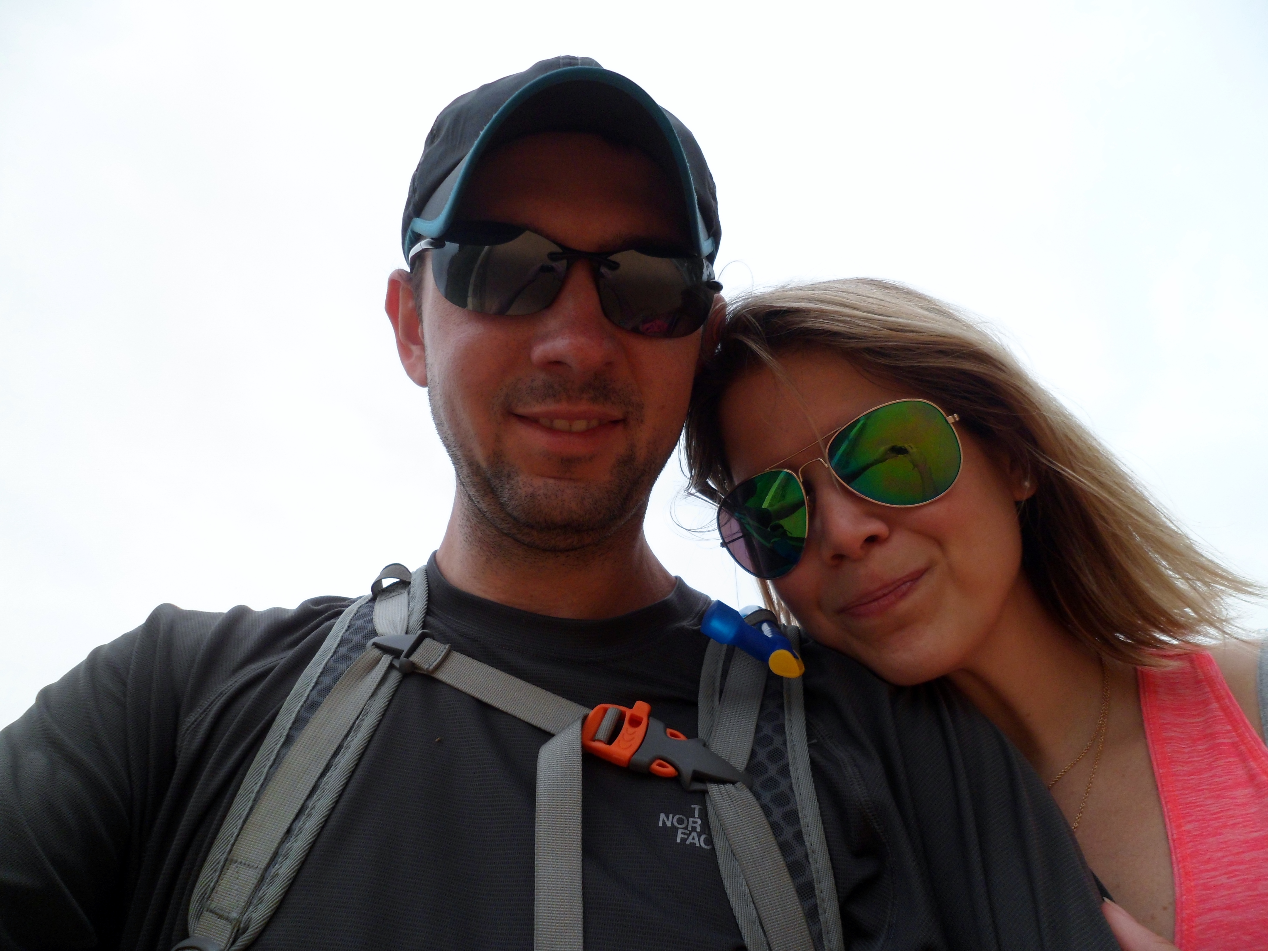
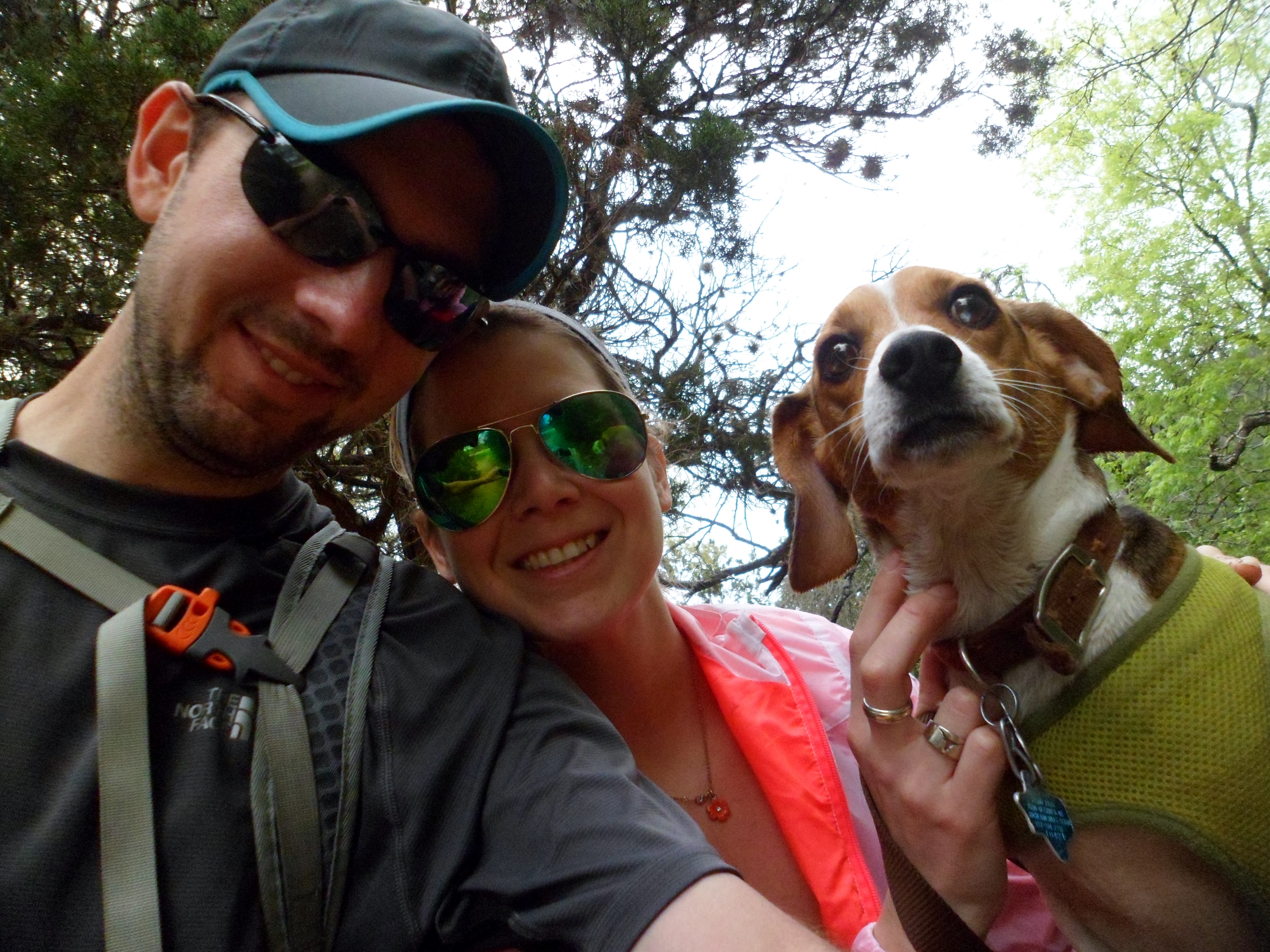
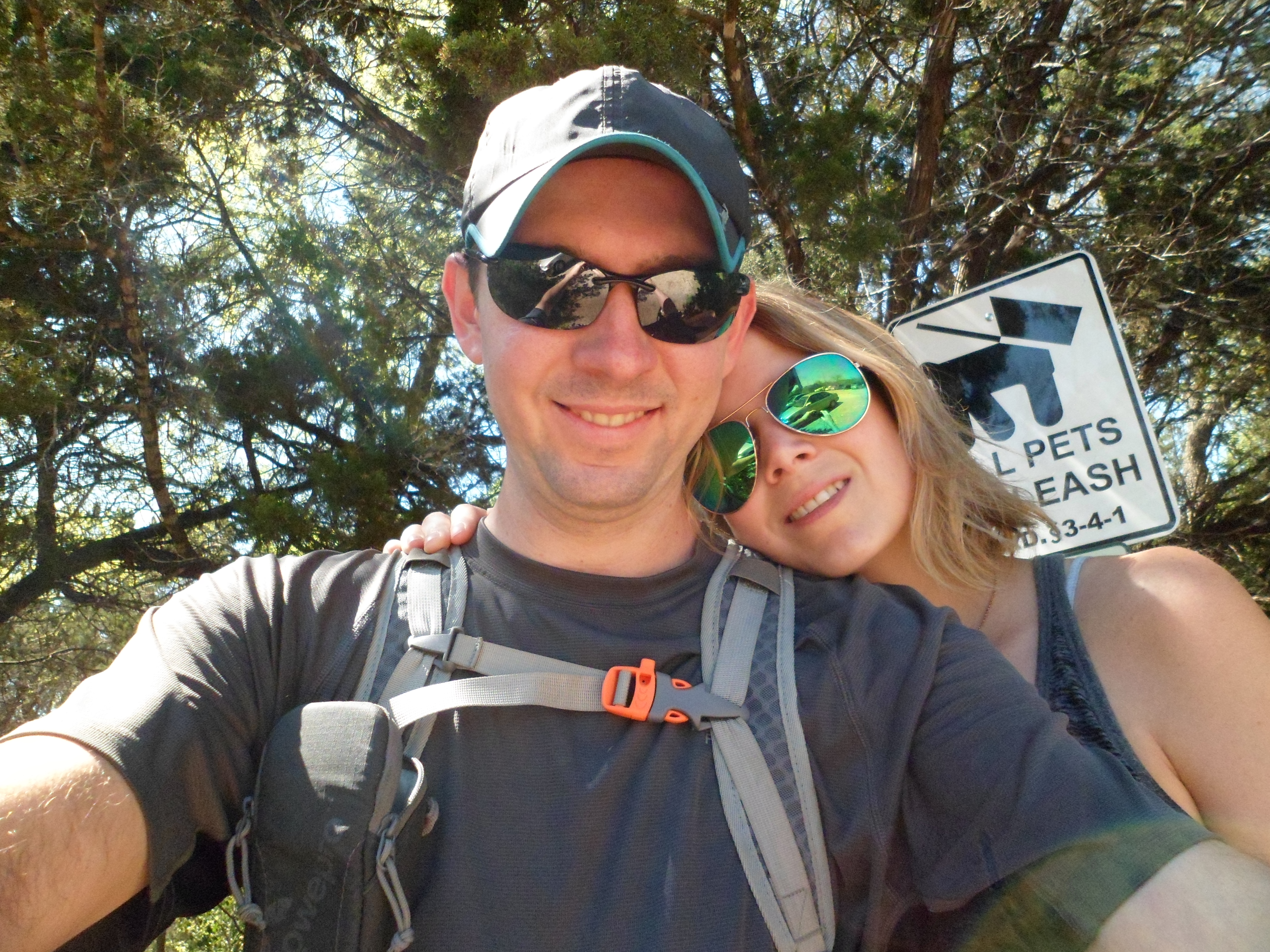
Hikers: Ian
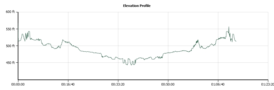
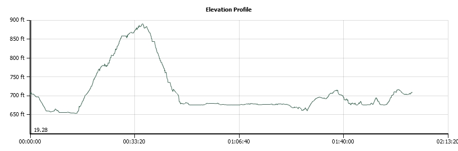
Length: 4.2 miles
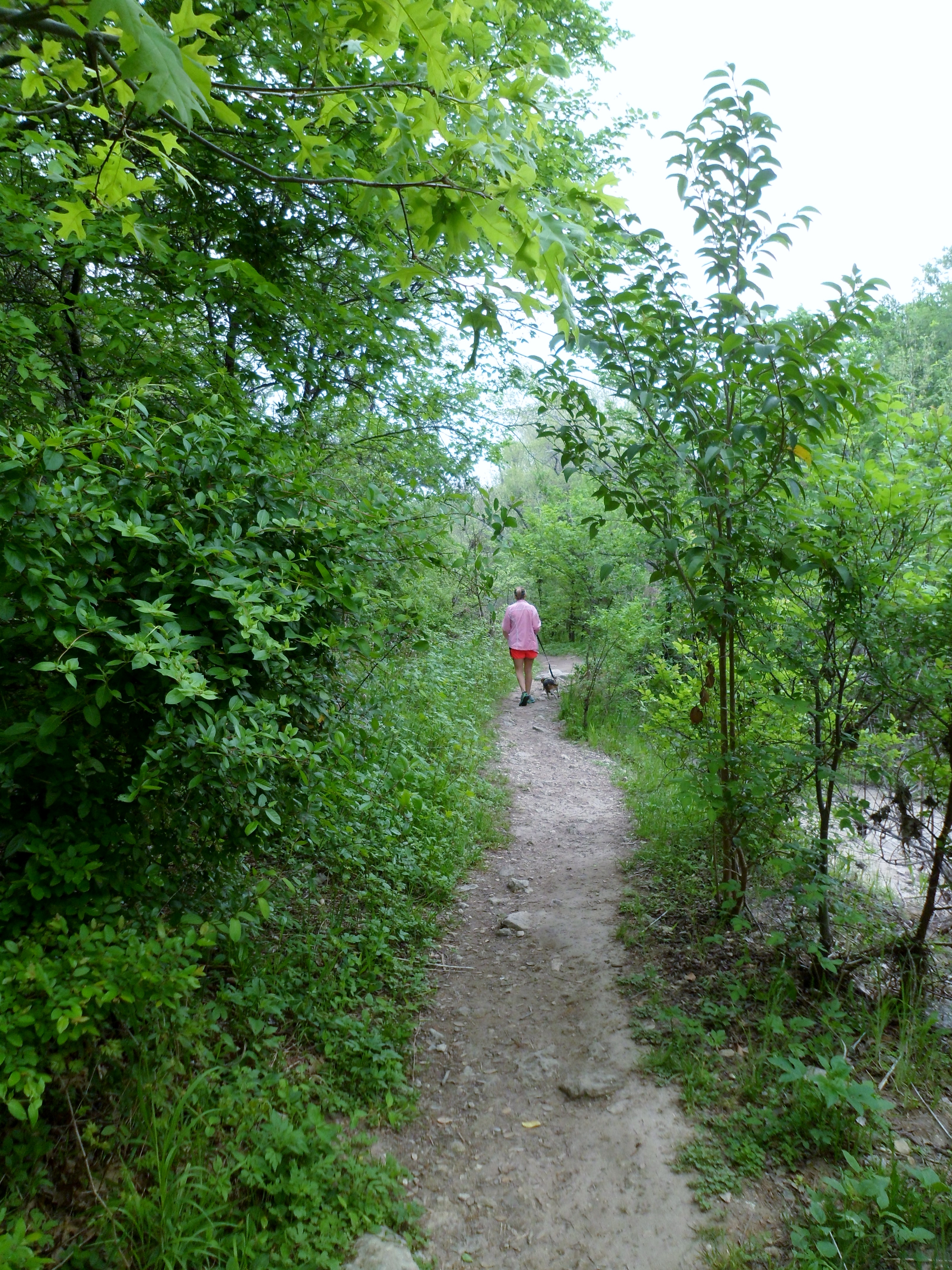
I had a little bit of time in the early afternoon before a friend’s wedding so I decided to get out to Shoal Creek. We usually take the dogs here, but it has been raining a lot lately and I didn’t feel like getting Biff all muddy and having to bathe him before the wedding, so I went on my own. Court was getting ready for the wedding all day with the bride. I’m hoping to get to some less urban spaces soon, but haven’t had the time lately and I guess I should be thankful that there are some good options in the middle of the city.
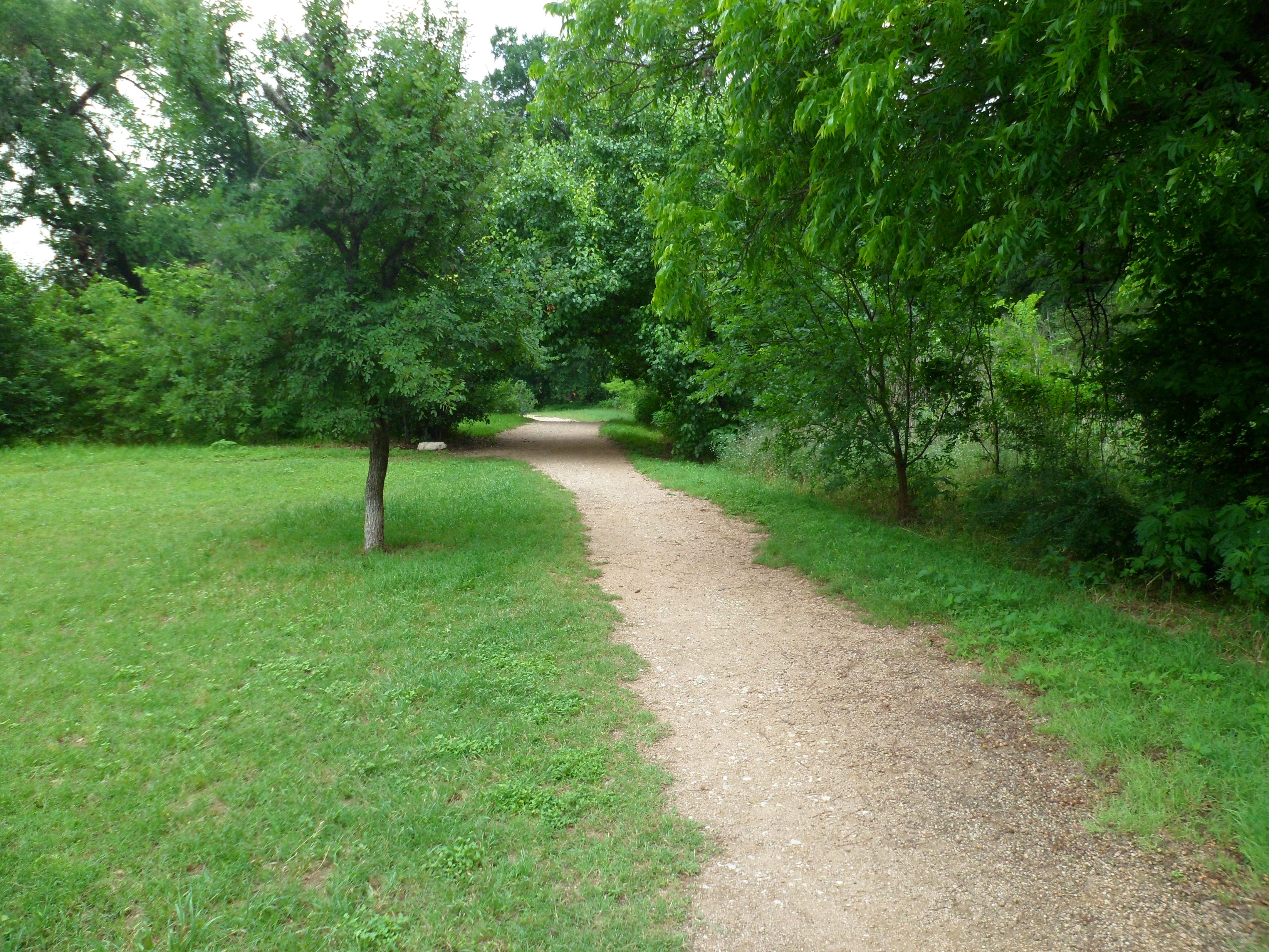


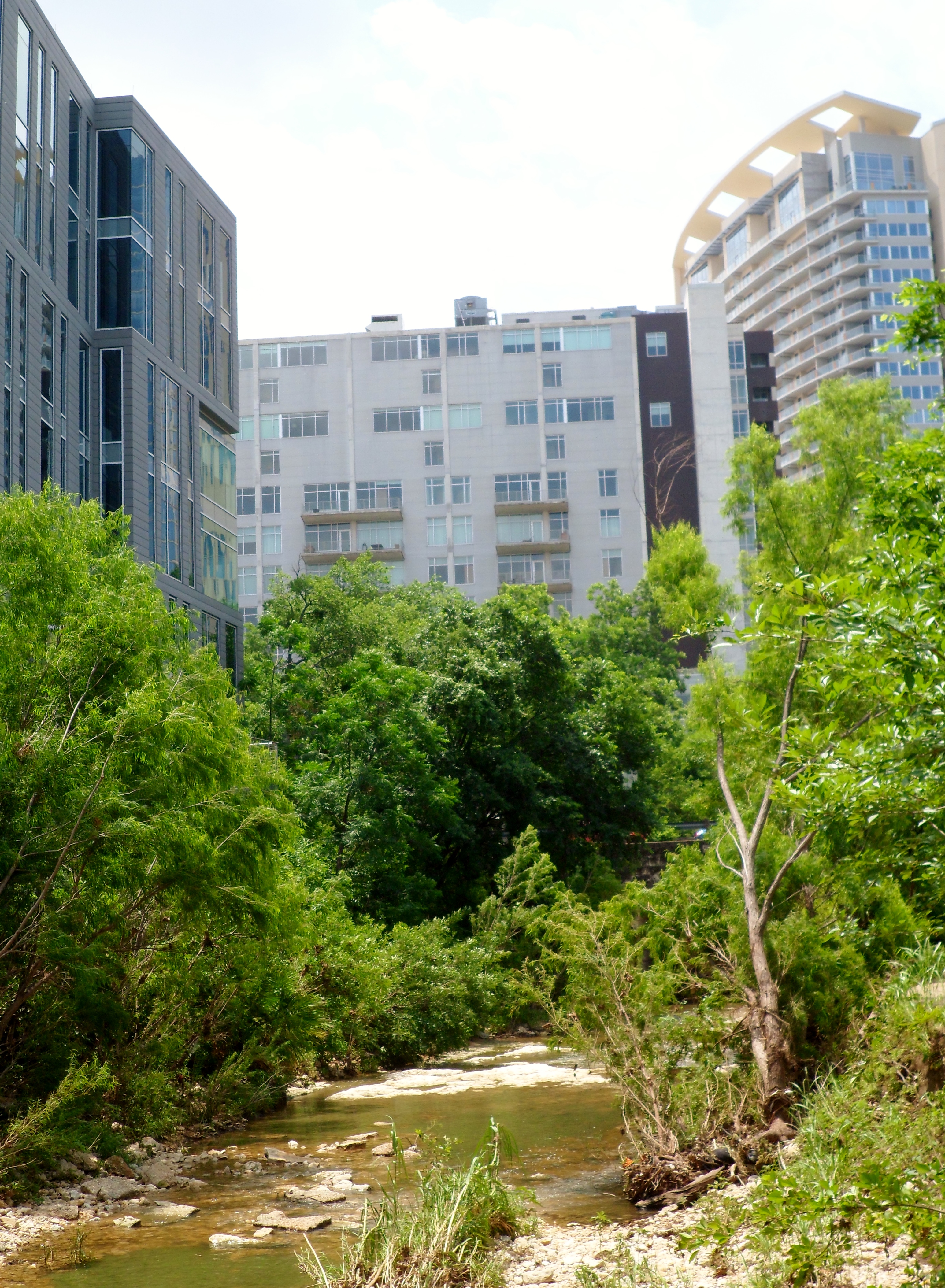
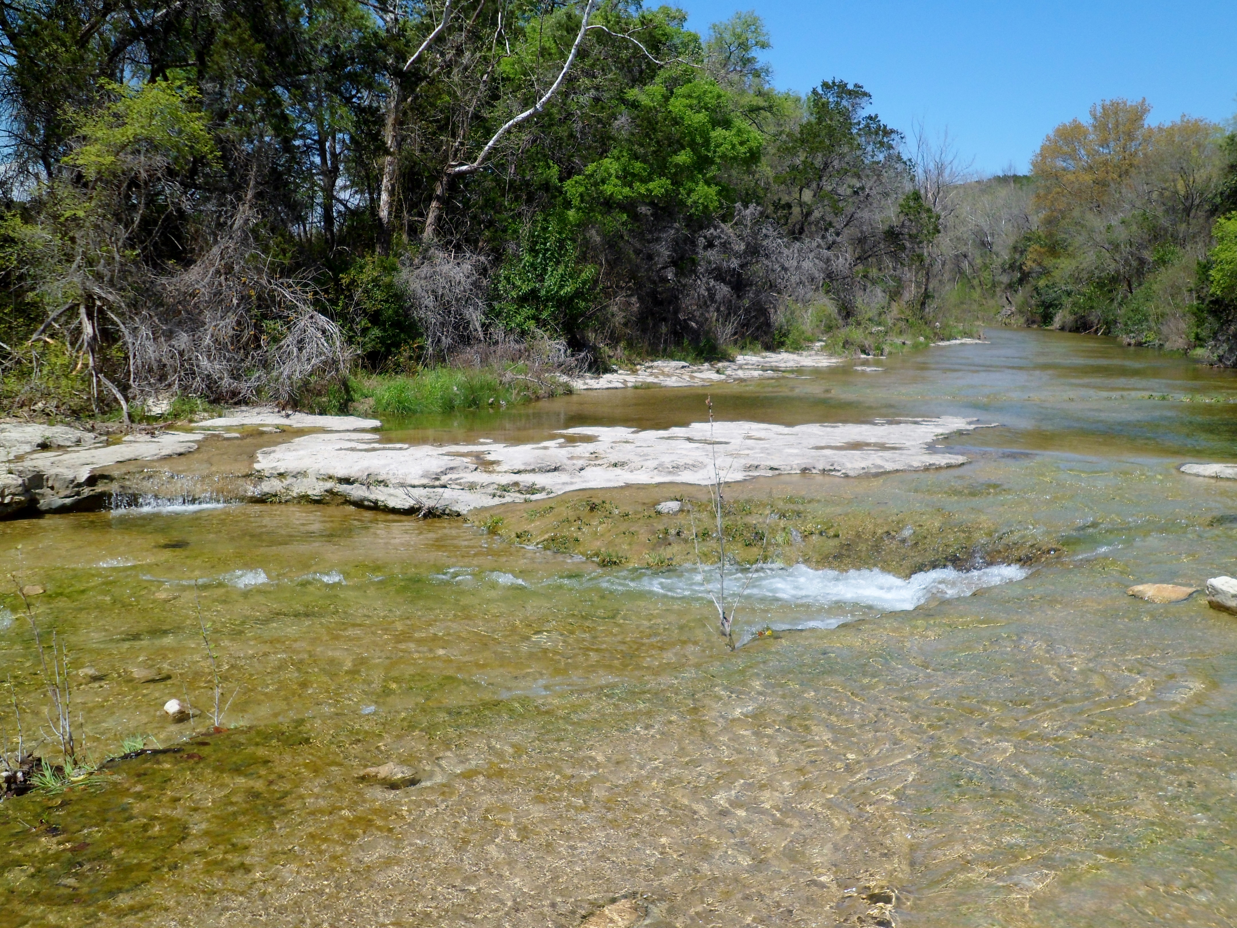
I didn’t know how far I was going to go, but ended up stopping at 5th Street, just before the trail hits the Hike and Bike trail around Town Lake. I have never been down that far and the trail was pretty interesting. The creek is way up right now, as we’ve had over 4 inches of rain in the first week of May. There was also a new section of trail in Pease Park that has great tread and goes a little more into the woods, as opposed to following the creek.


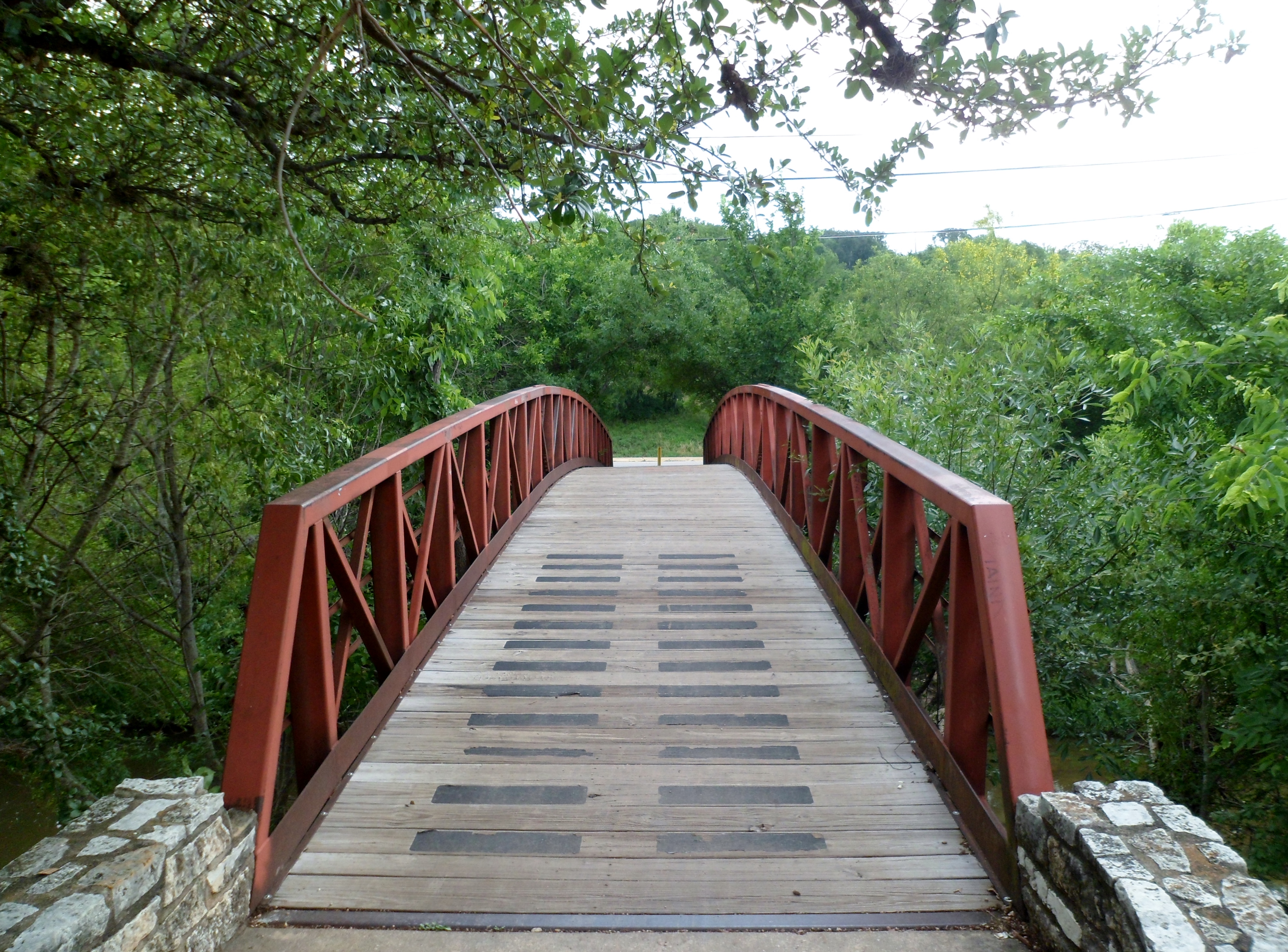
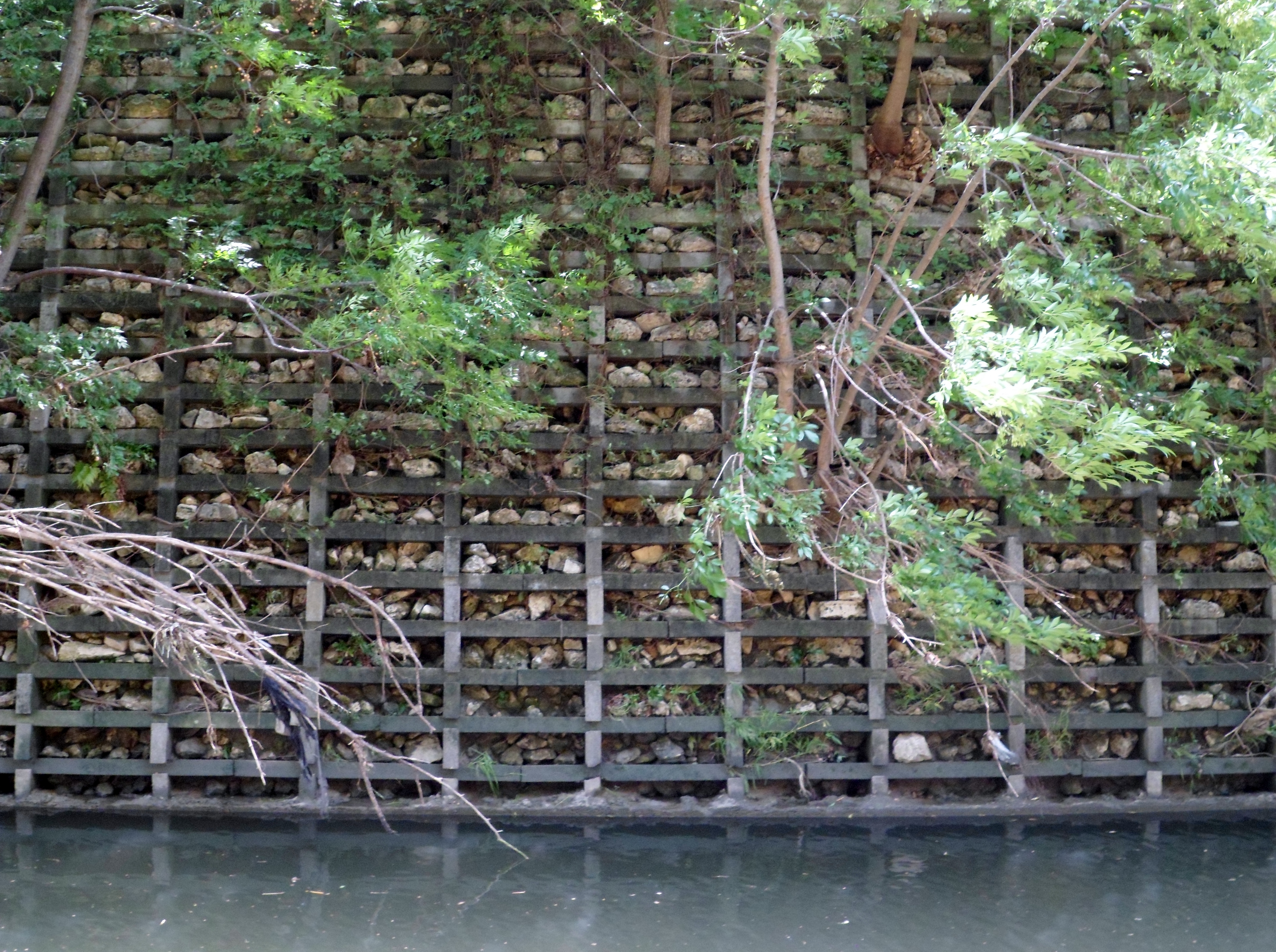
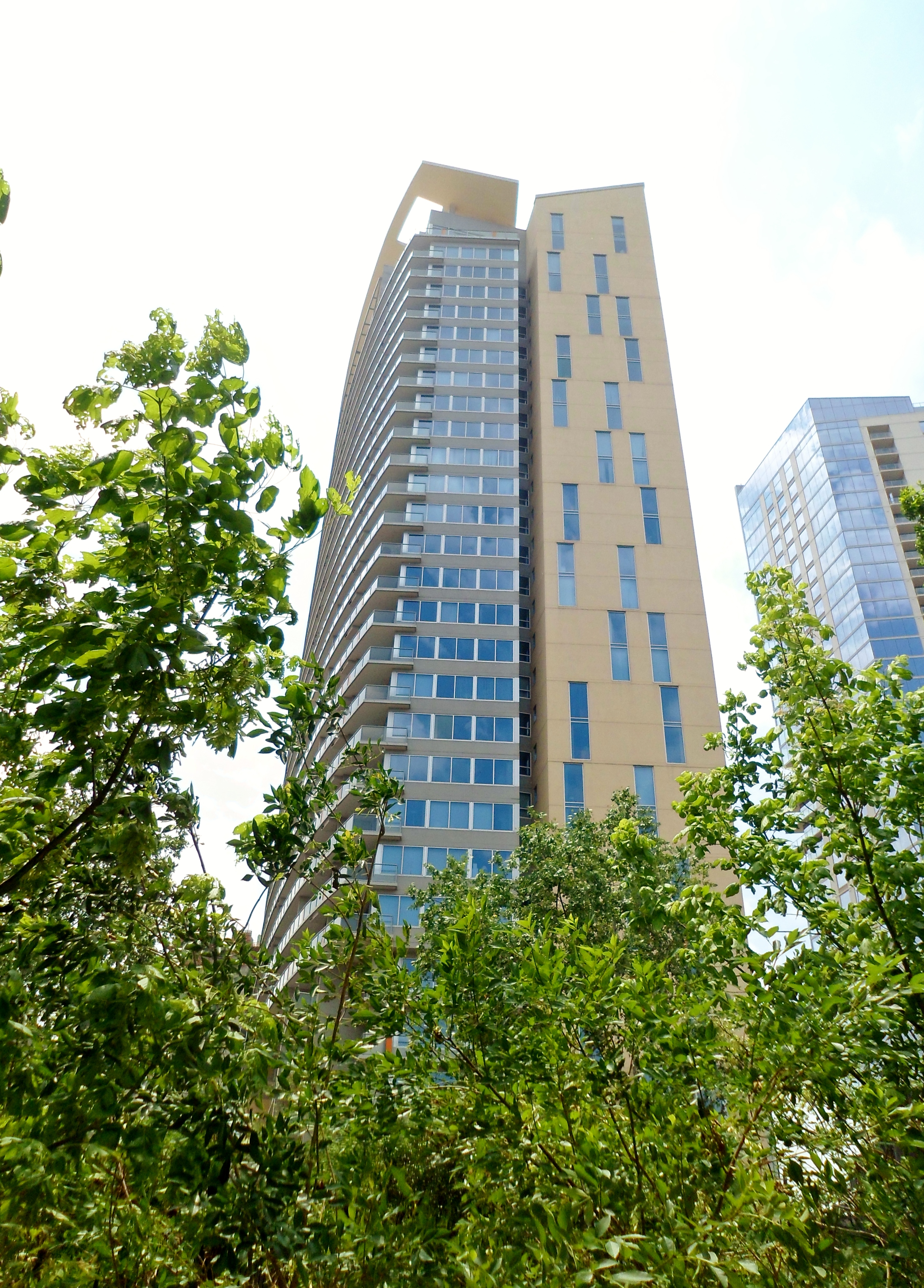
The part of the trail that goes through downtown was all new to me. It gives unique views of all the new buildings downtown. Easy to forget that the creeks flow among the buildings and always have. The 6th Street Bridge below was built in 1887.


I didn’t quite make it all the way to Town Lake, as I wanted to make sure I got back in time to get ready for the wedding, so I turned back at 5th Street. This has always been a good trail and I think Court and I are talking about doing the full length from 38th Street to the River at some point.

St. Edward’s Park 4/29/15
Wednesday, April 29th, 2015
Hike: St. Edward’s Park, Austin, TX
Weather: warm, partly cloudy, mid 80s
Hikers: Ian
Length: 3.14 miles
My plan today was actually to go out to Wild Basin near Westlake, but I realized that 360 at 9am on a weekday is a nightmare. I was meeting Court for lunch up north, so I decided to get back out to St. Edward’s Park and do another part of the trail that we didn’t cover last time.

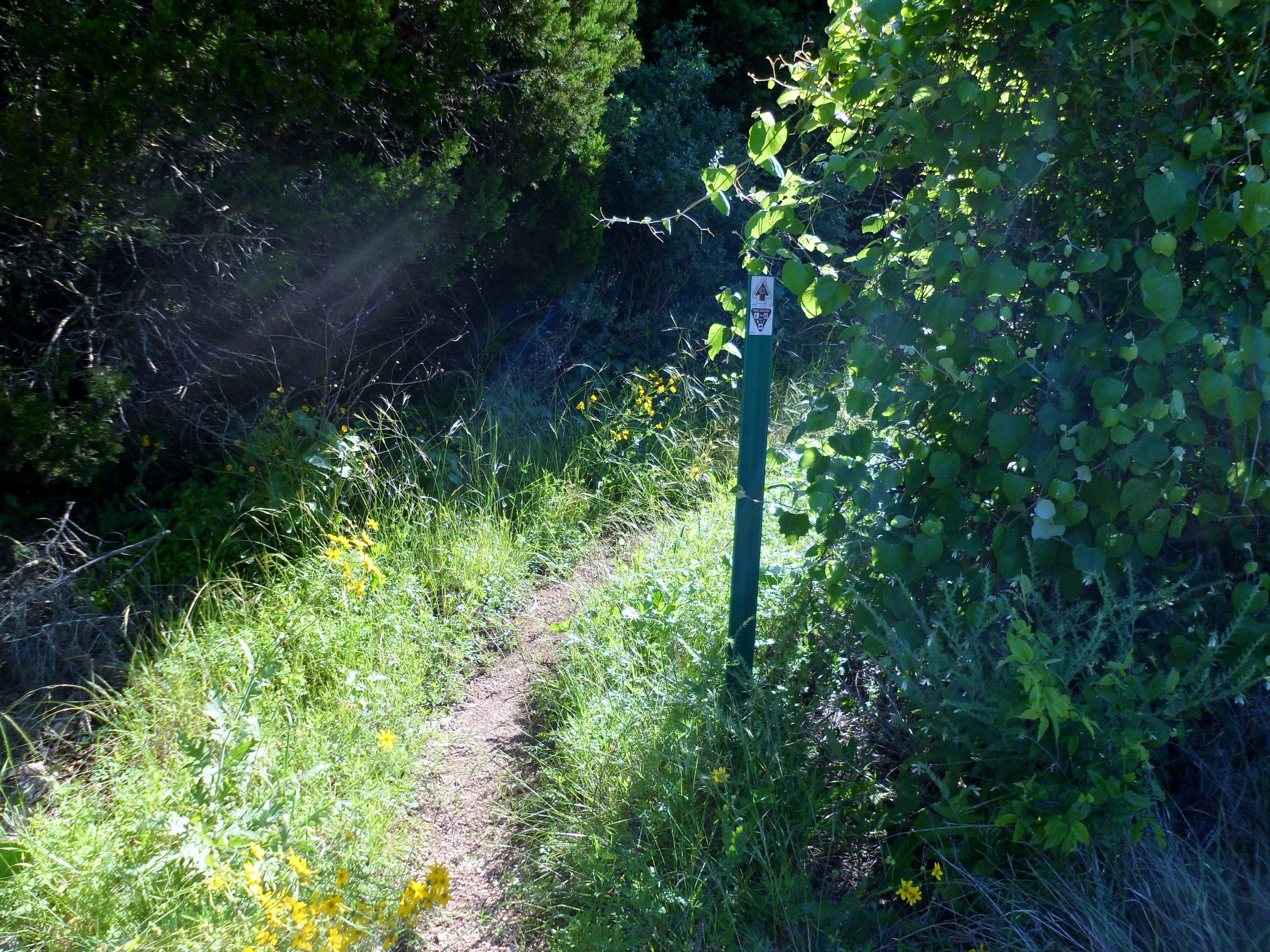
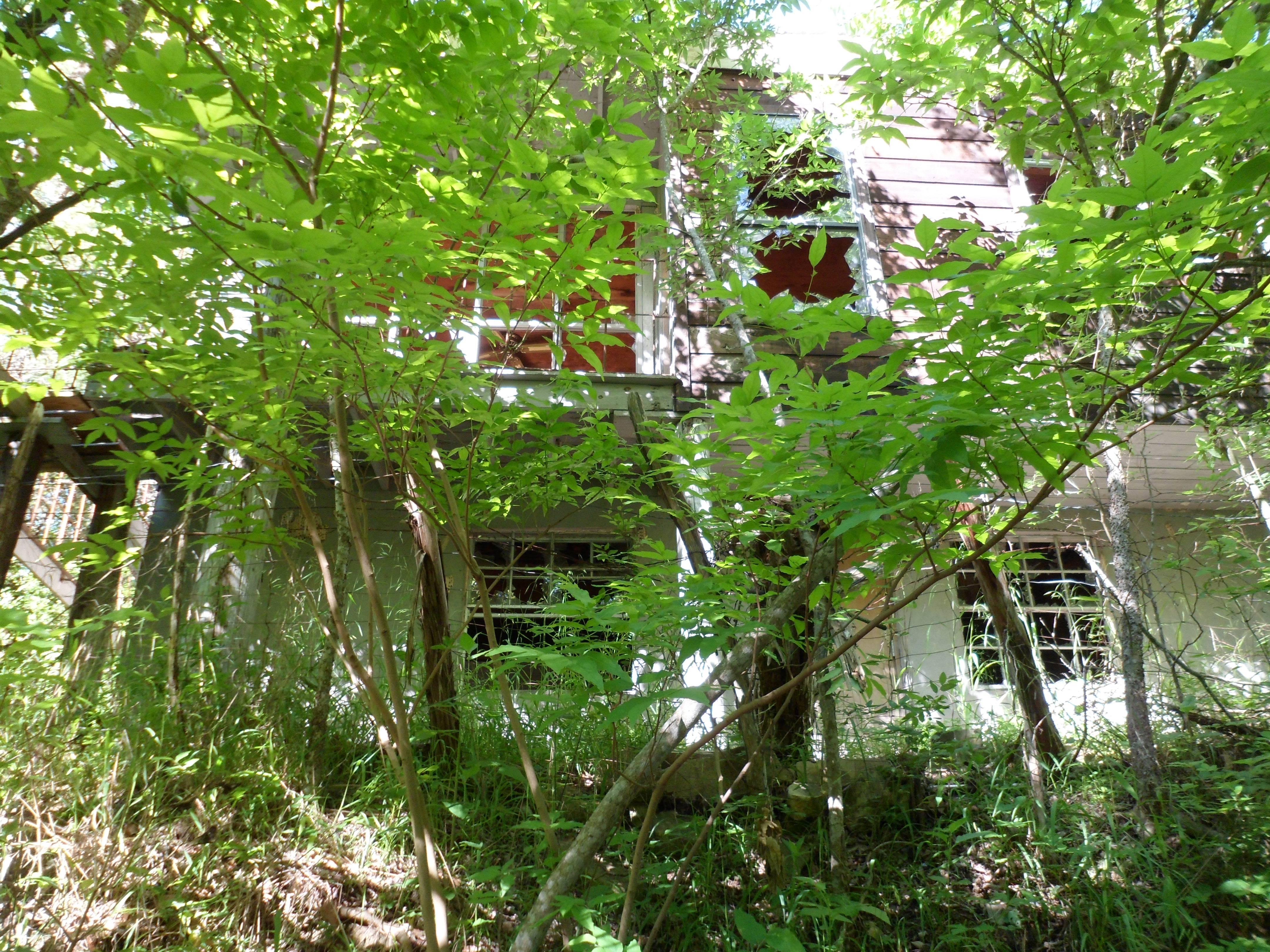
I saw that there was part of the trail that crossed back over Old Spicewood Springs road and wanted to check that out. It was a bit hard to find on the other side of the road and it was short, but interesting. A lot of it was a bit overgrown and it didn’t look like many hikers went this way. There was an old abandoned house along the trail at one point and the way the sun was striking it made it look like there was a light on inside. Kinda creepy.


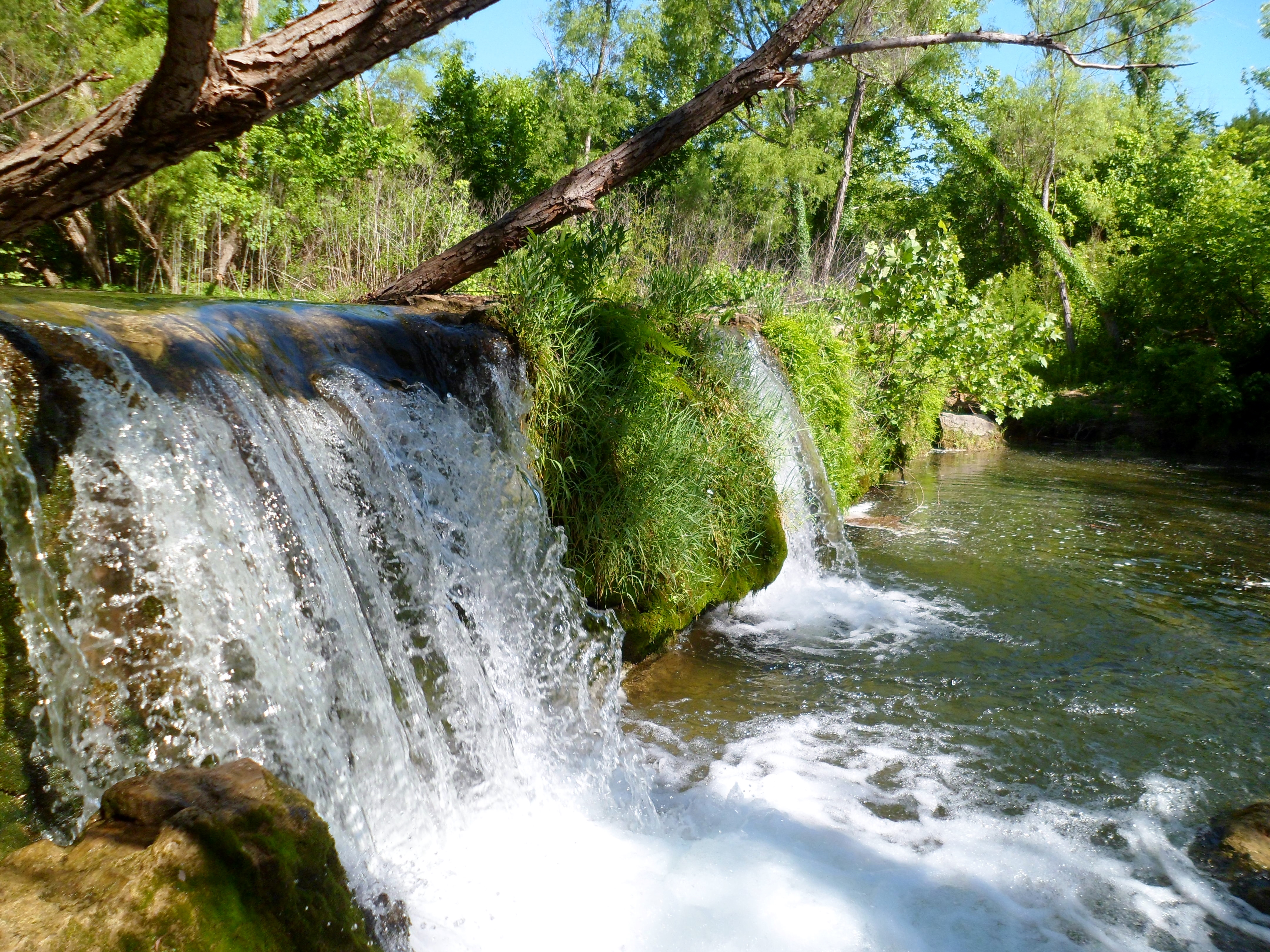
I headed back the way I came and went back to the main part of the park. The water is still flowing really well, due to the wet spring we’ve had. I found a place to get right next to the waterfall over the dam and got a short video. It was very peaceful.
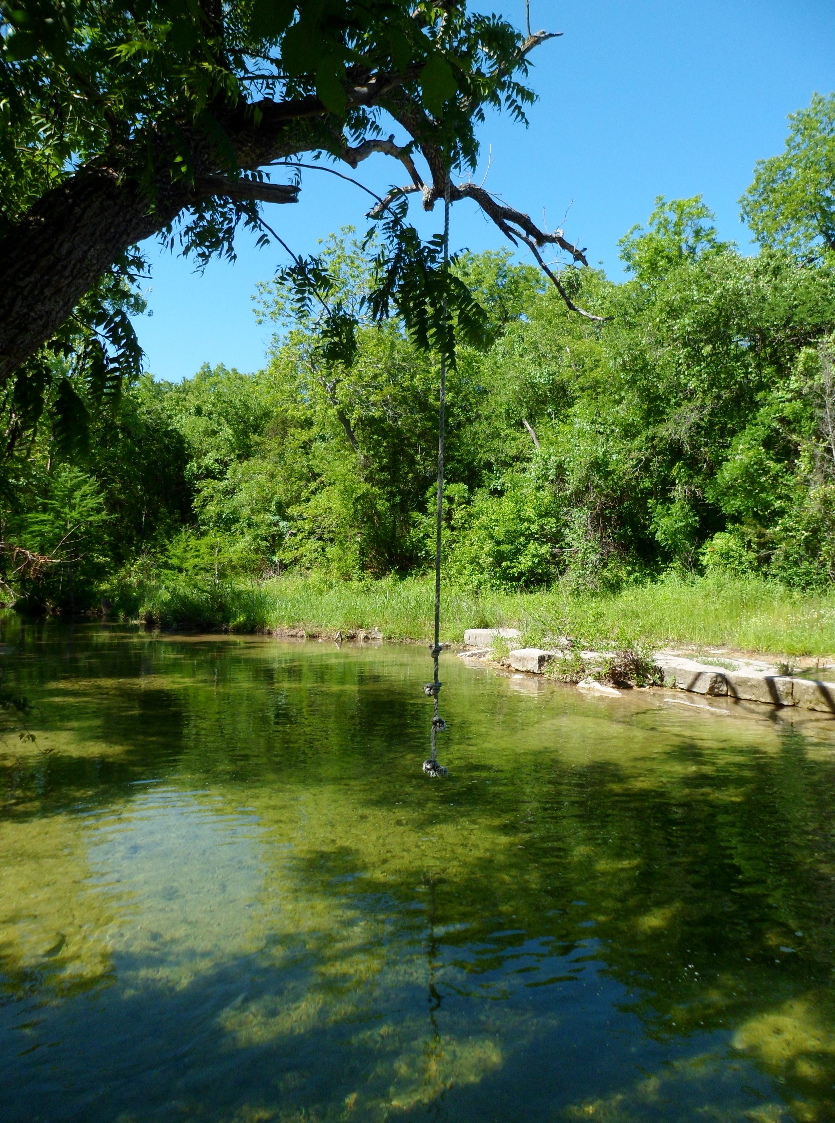
I headed back down the trail and cut through the middle prairie section. At one point I looked down and saw wild raspberries growing. I’ve never seen them in Texas. I ate a couple and they were amazing. I also found an old rope swing off a tree at the north end of the park. Once again, great little gem of a park near town. I was driving by the greenbelt on Mopac on Sunday and the parking lot was packed. In contrast, there were only about 3 other cars when I got to St. Edward’s Park on Wednesday morning.


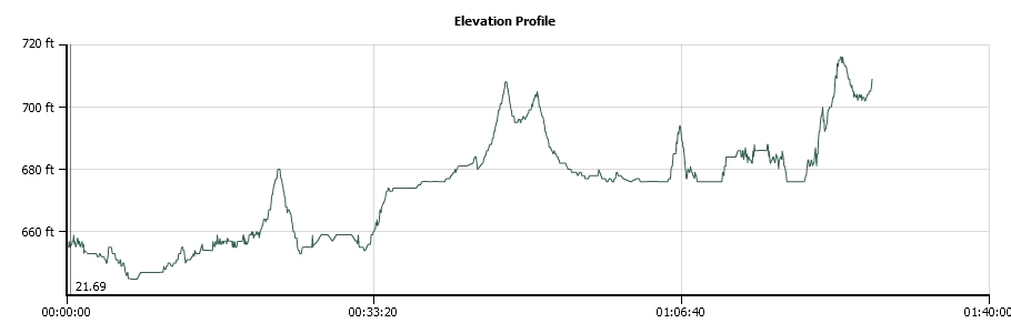
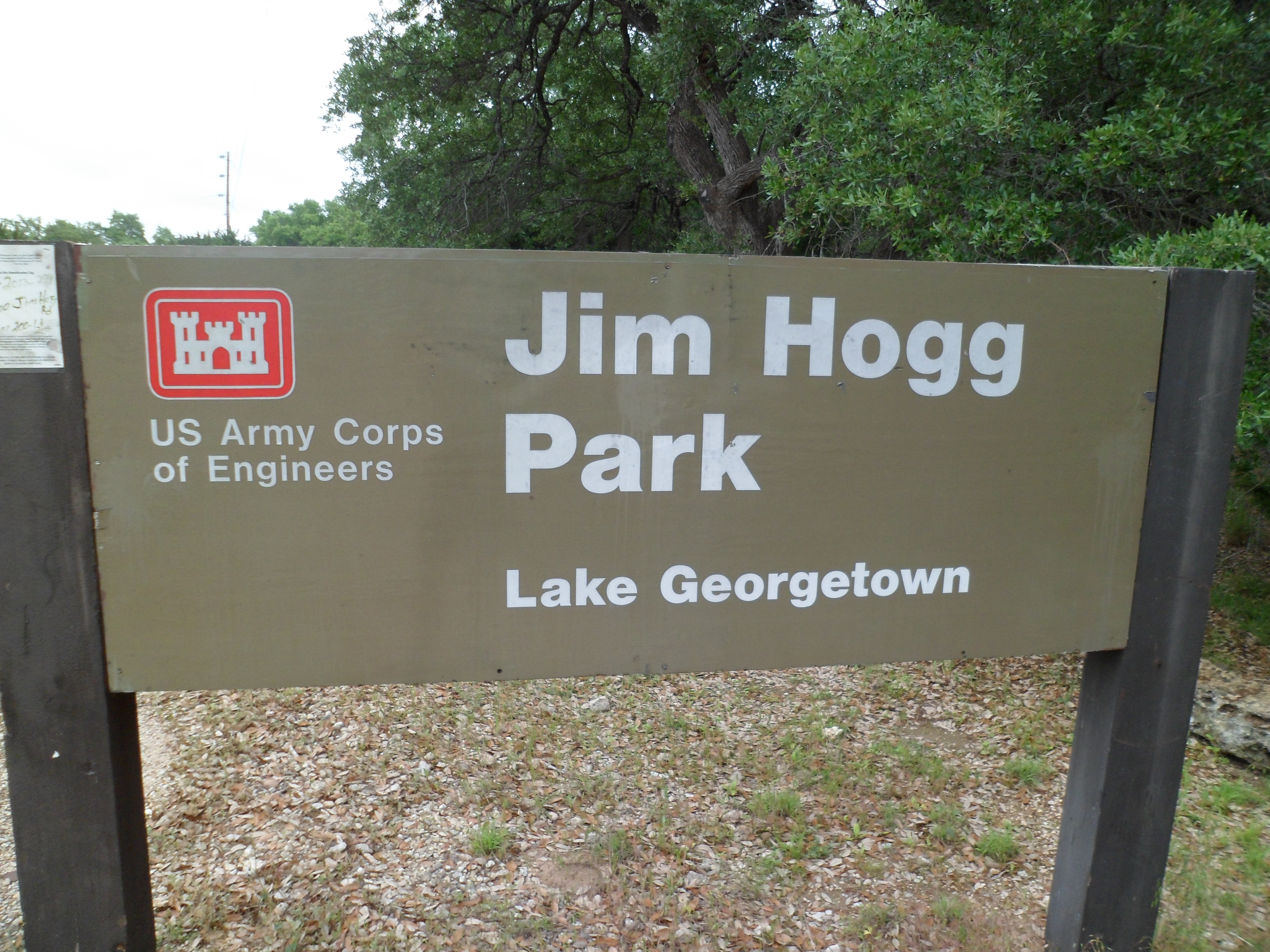
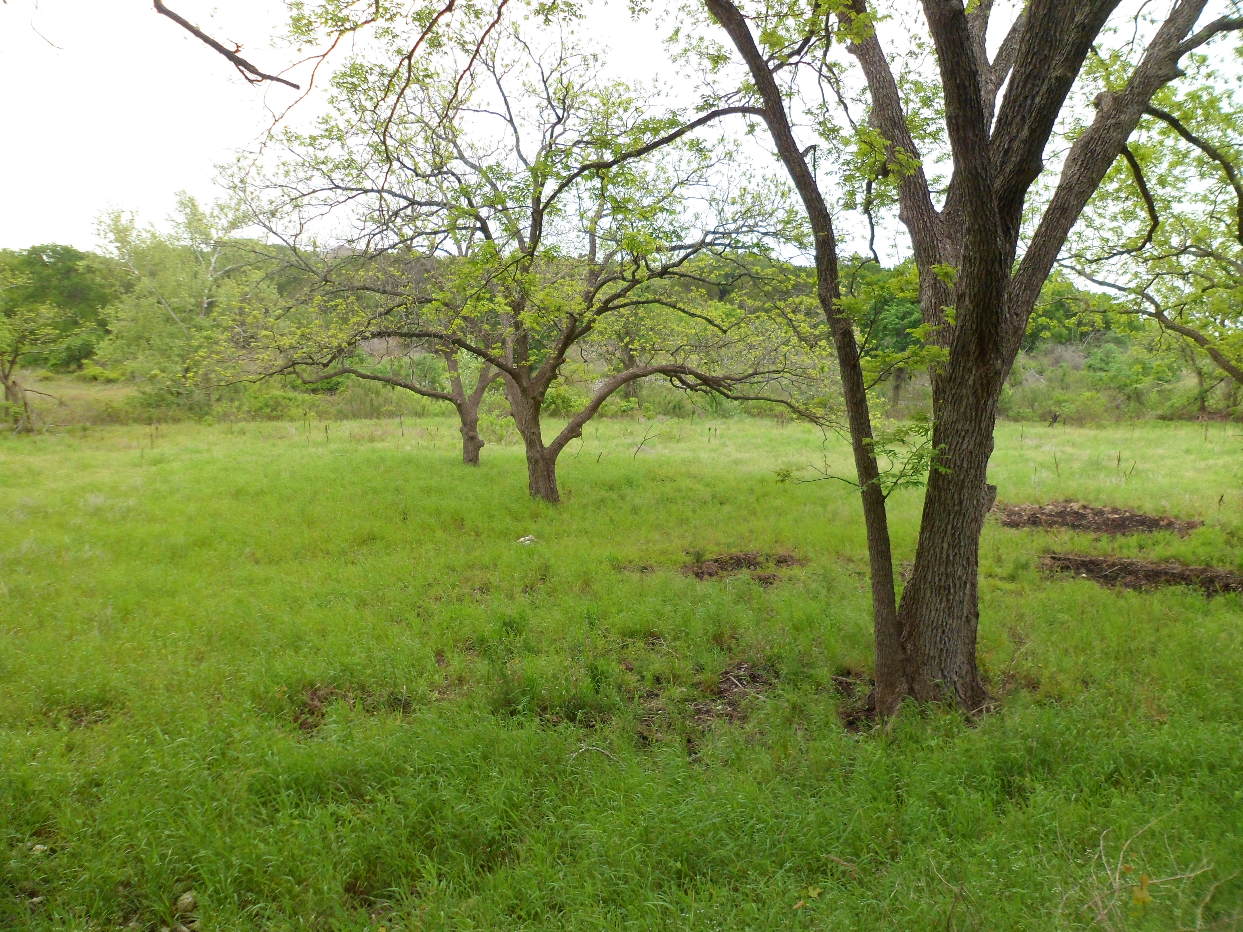
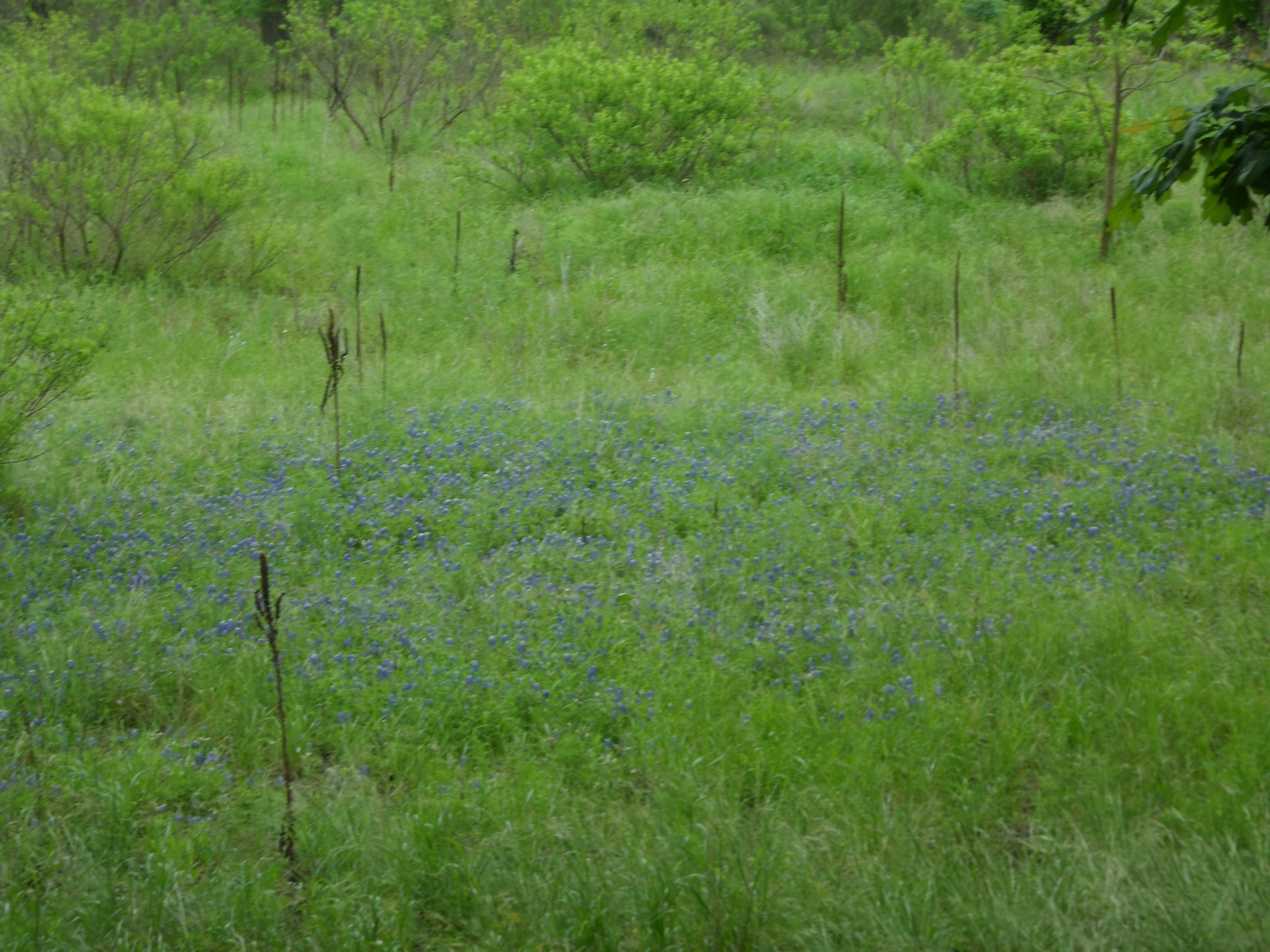
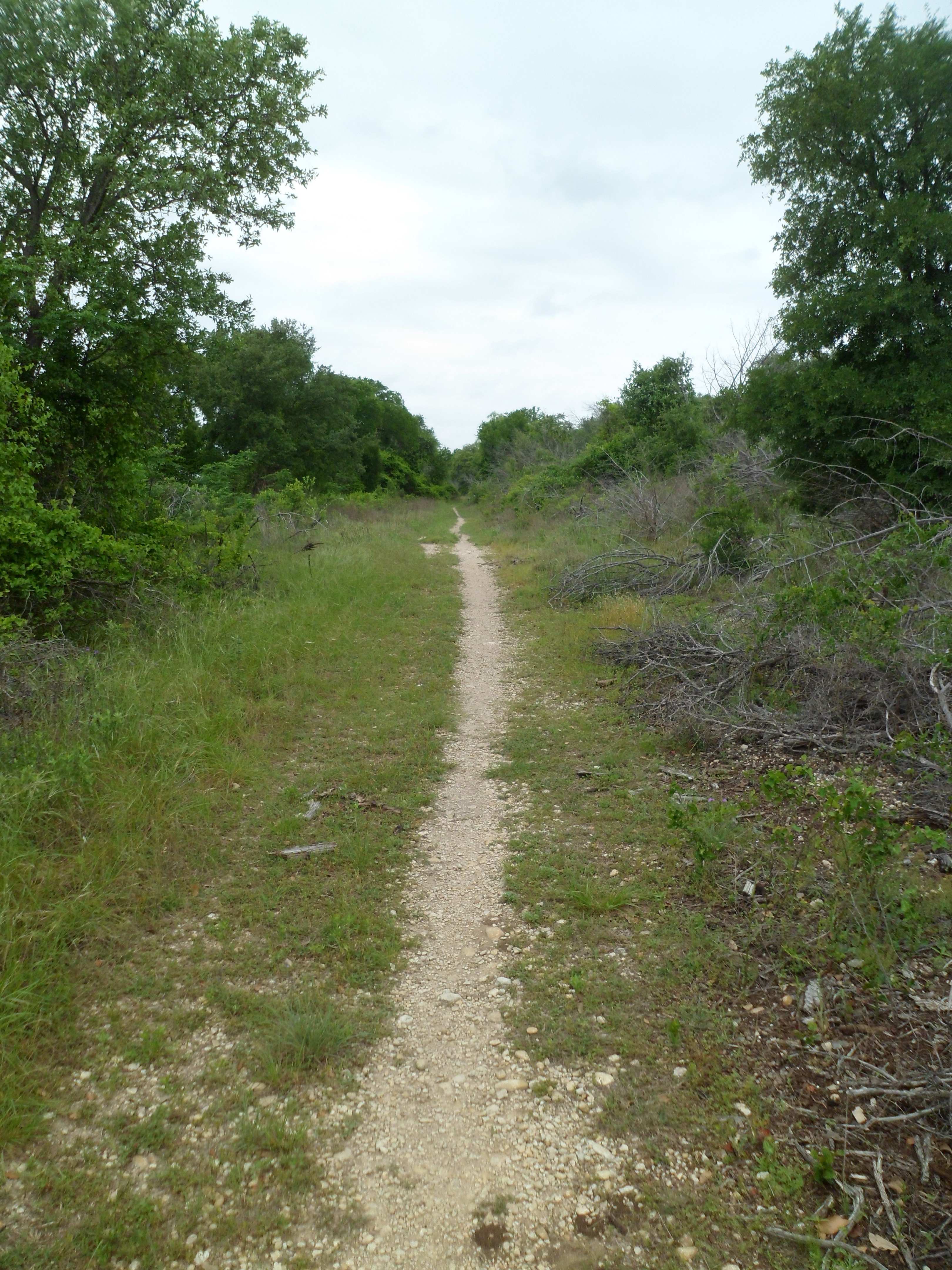
Lake Georgetown – Goodwater Trail – Jim Hogg Trail Head 4/22/15
Hike: Goodwater Trail – Jim Hogg Trail Head – Lake Georgetown, Georgetown, TX
Weather: partly cloudy to sunny, mid 70s to low 90s
Hikers: Ian
Length: 12.31 miles
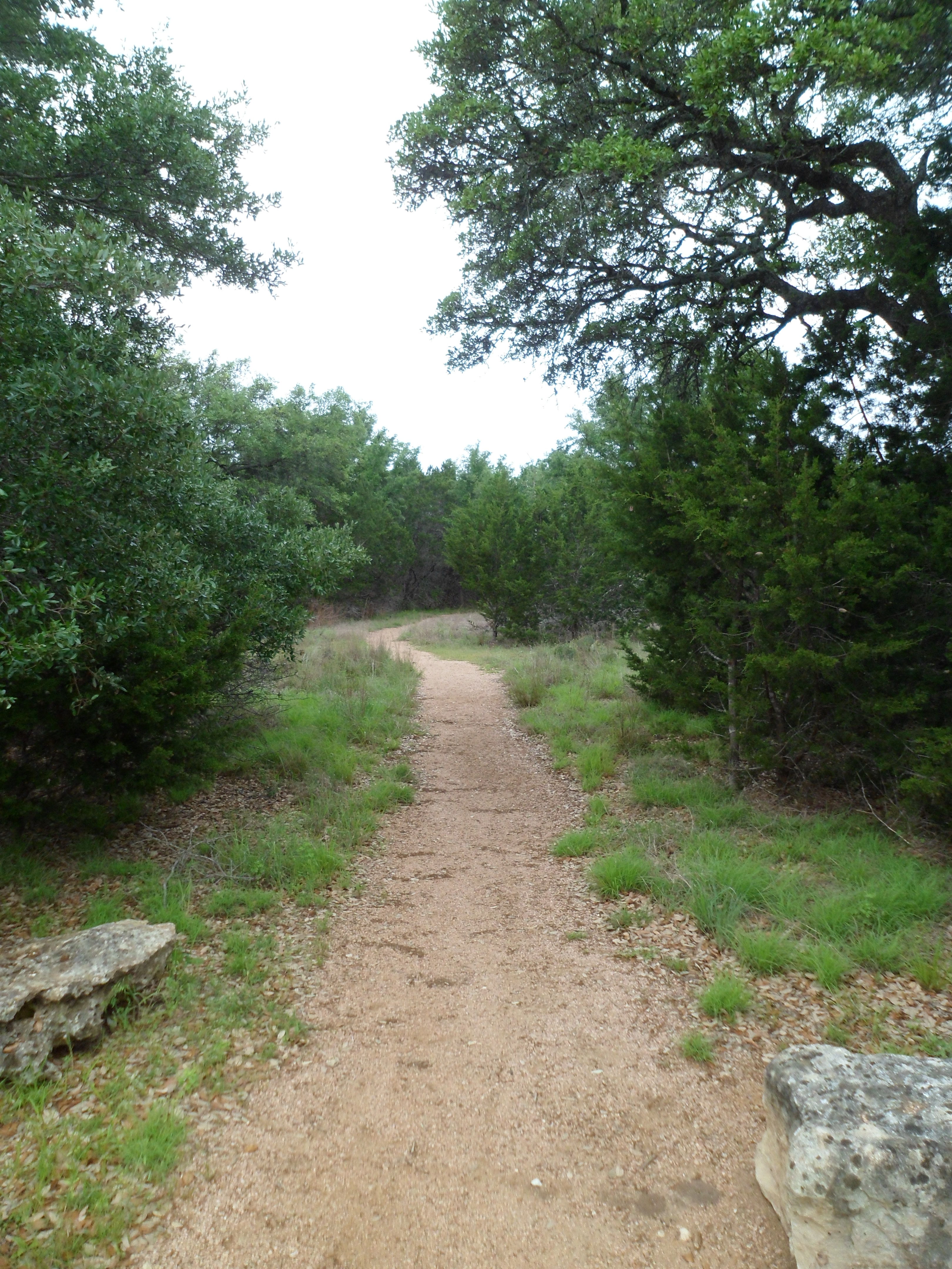
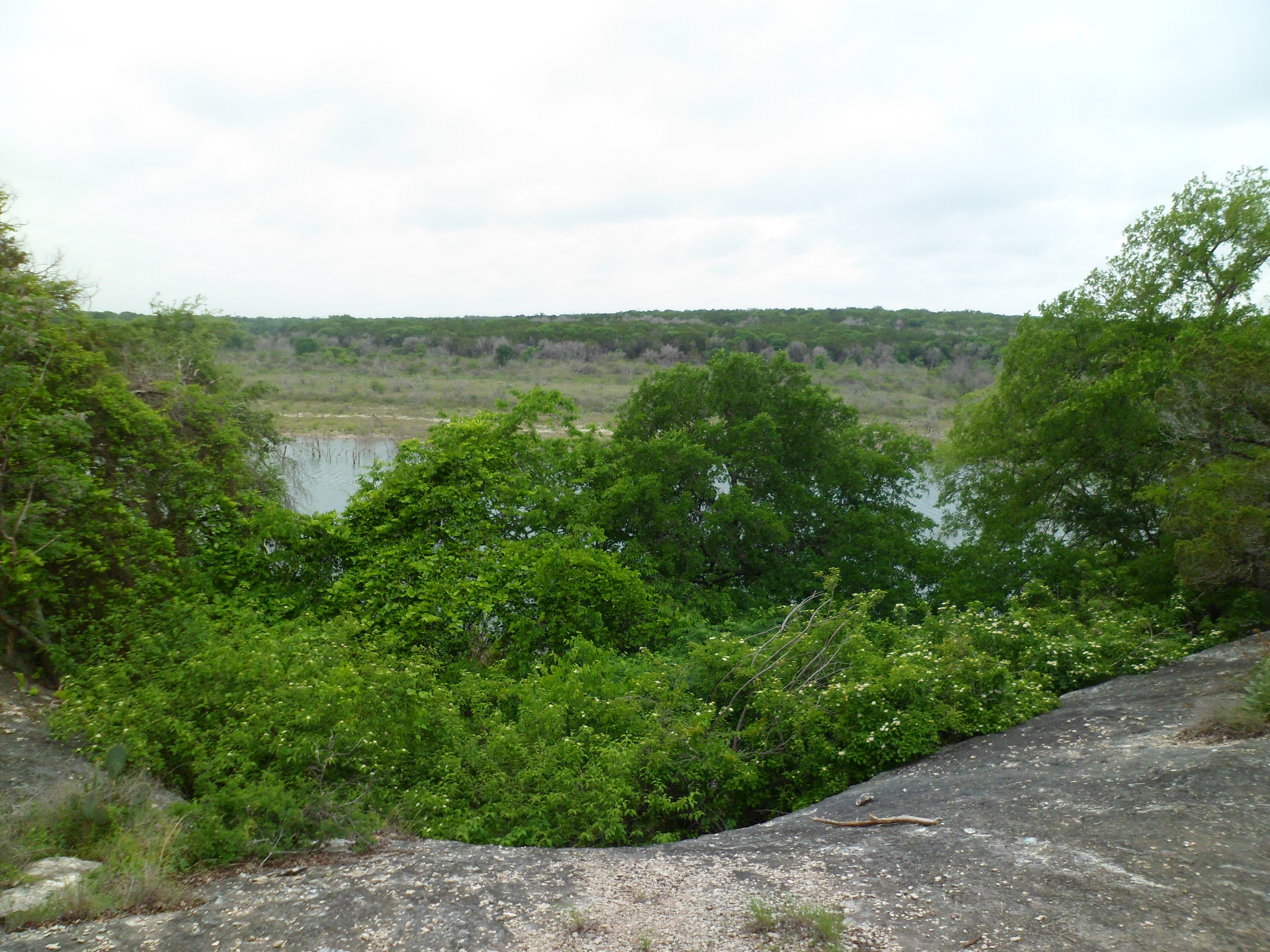
On this Earth Day I was off work and decided to head out and do some more of the Goodwater Trail loop around Lake Georgetown. The total loop is 26 miles and we did part of it with Greg and Cat a few months back. I decided to try some of the trail on the north shore of the lake.
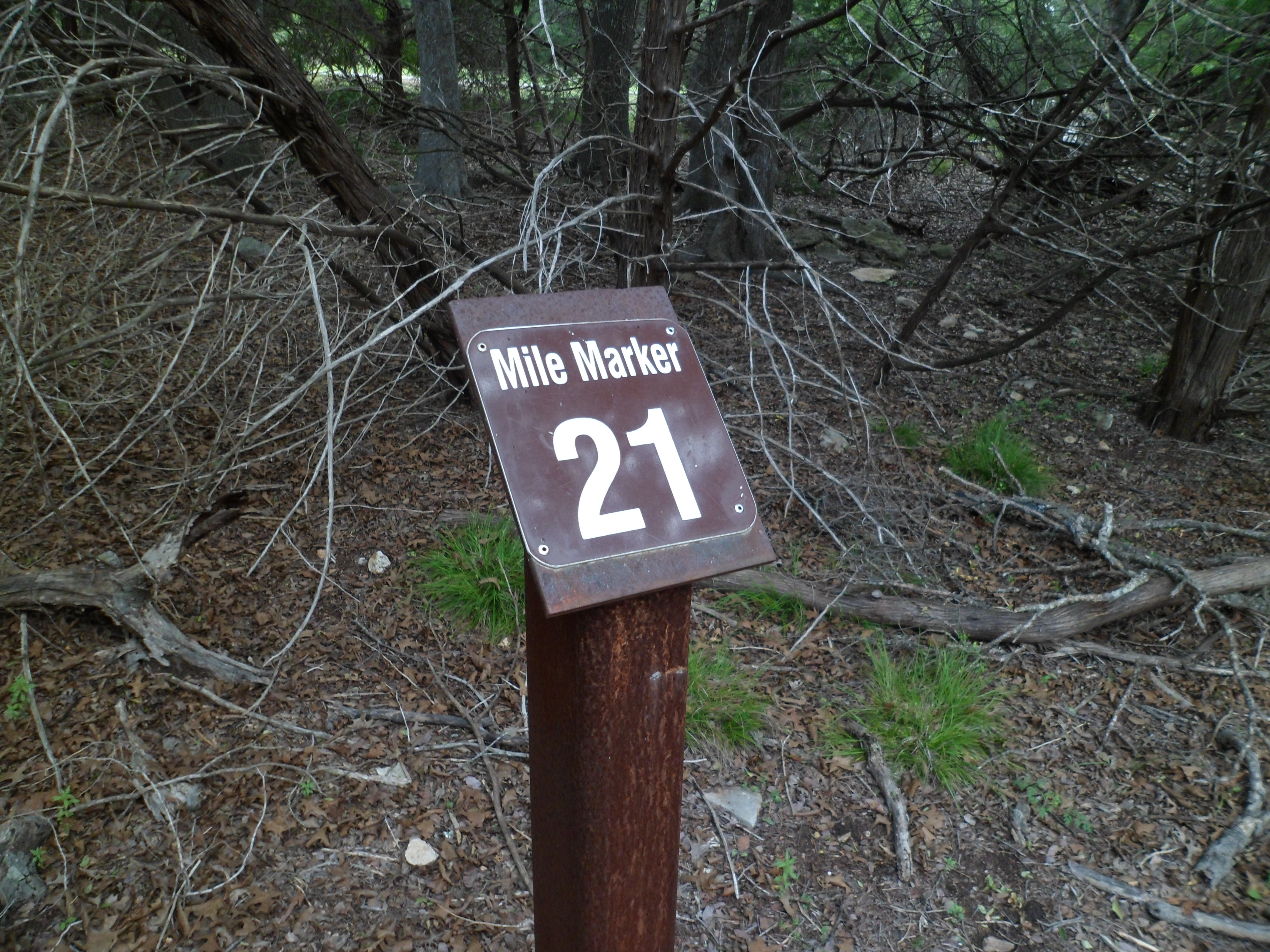
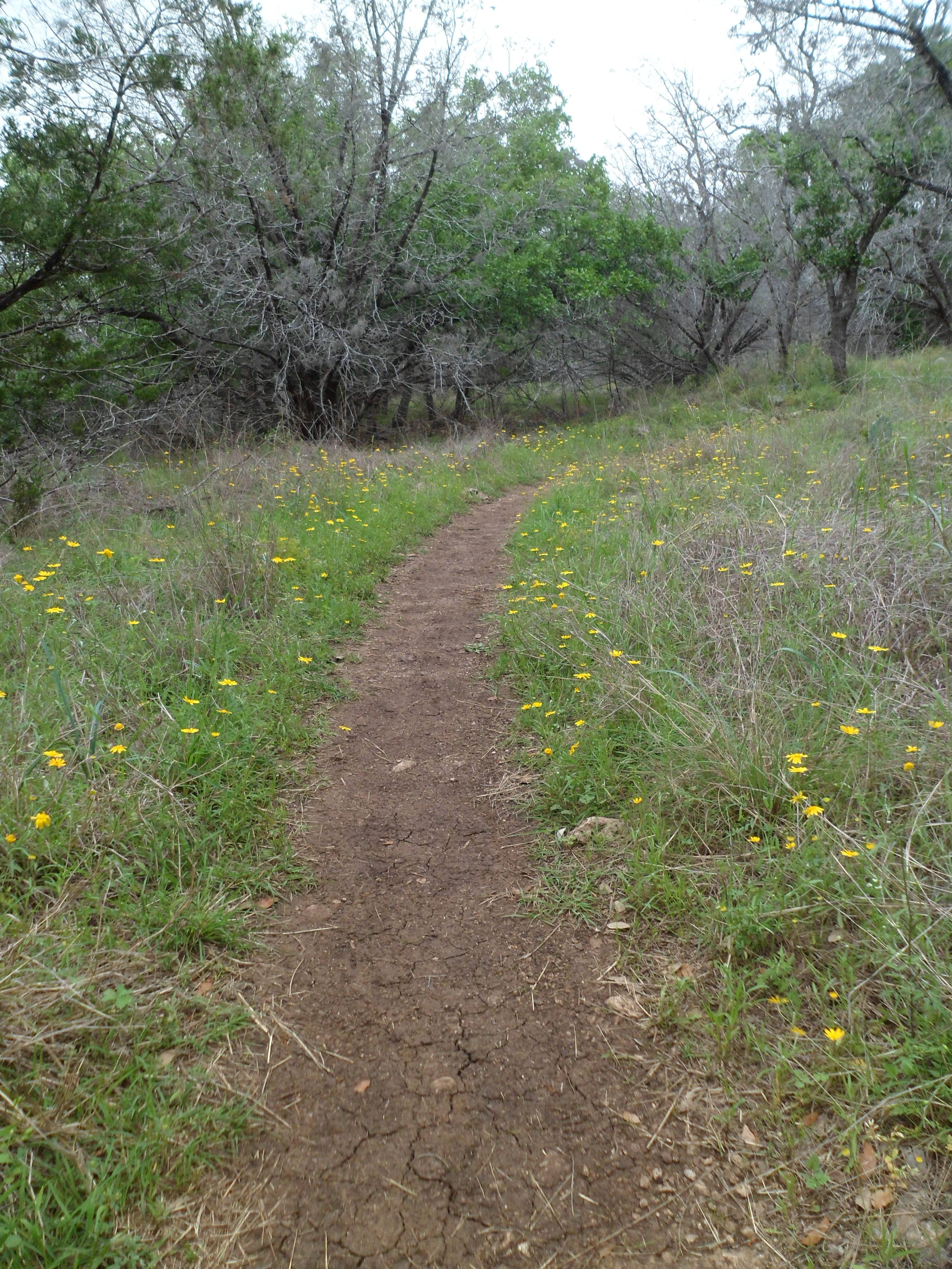
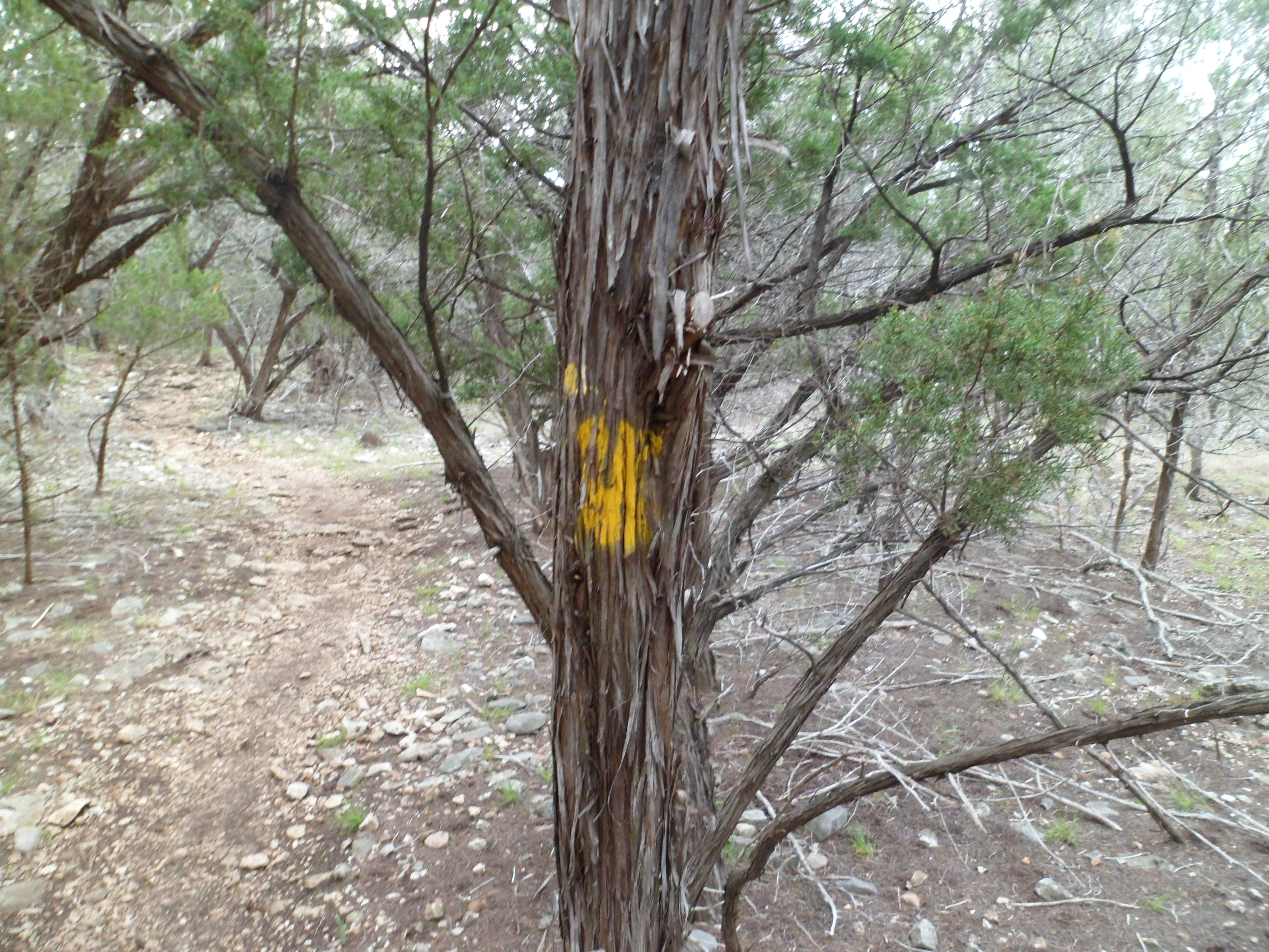
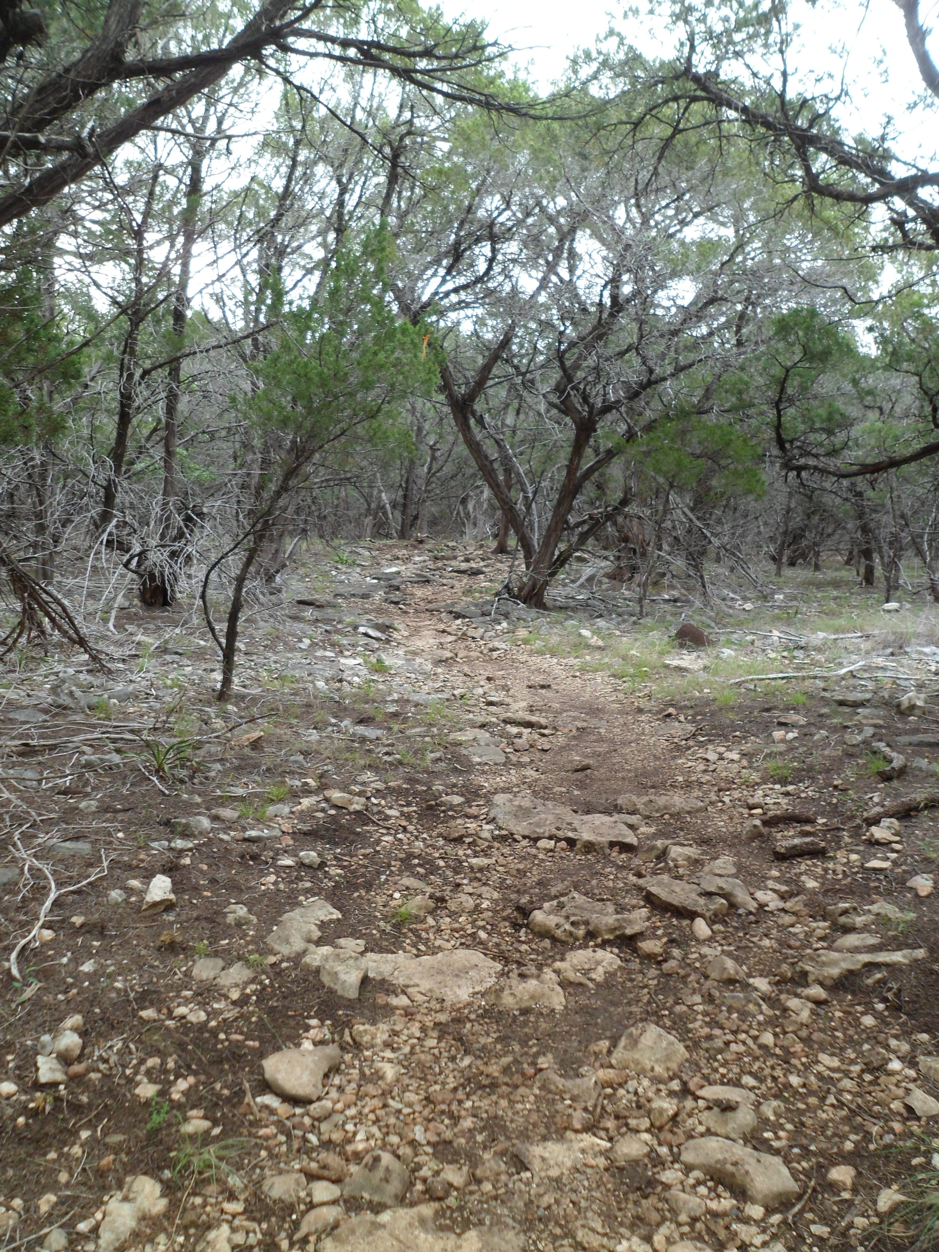
I hit the trail around 9am and started out going the wrong direction, as the trail wasn’t very well marked. My intention was to hike from around mile marker 20 backwards to Walnut Springs camp and then back. I soon realized my error when I came upon mile marker 21. So I retraced my steps and headed off in the right direction. The trail was very rocky almost the entire time and most of this part of the trail was pretty far off the lake, so not too many views, mostly woods.
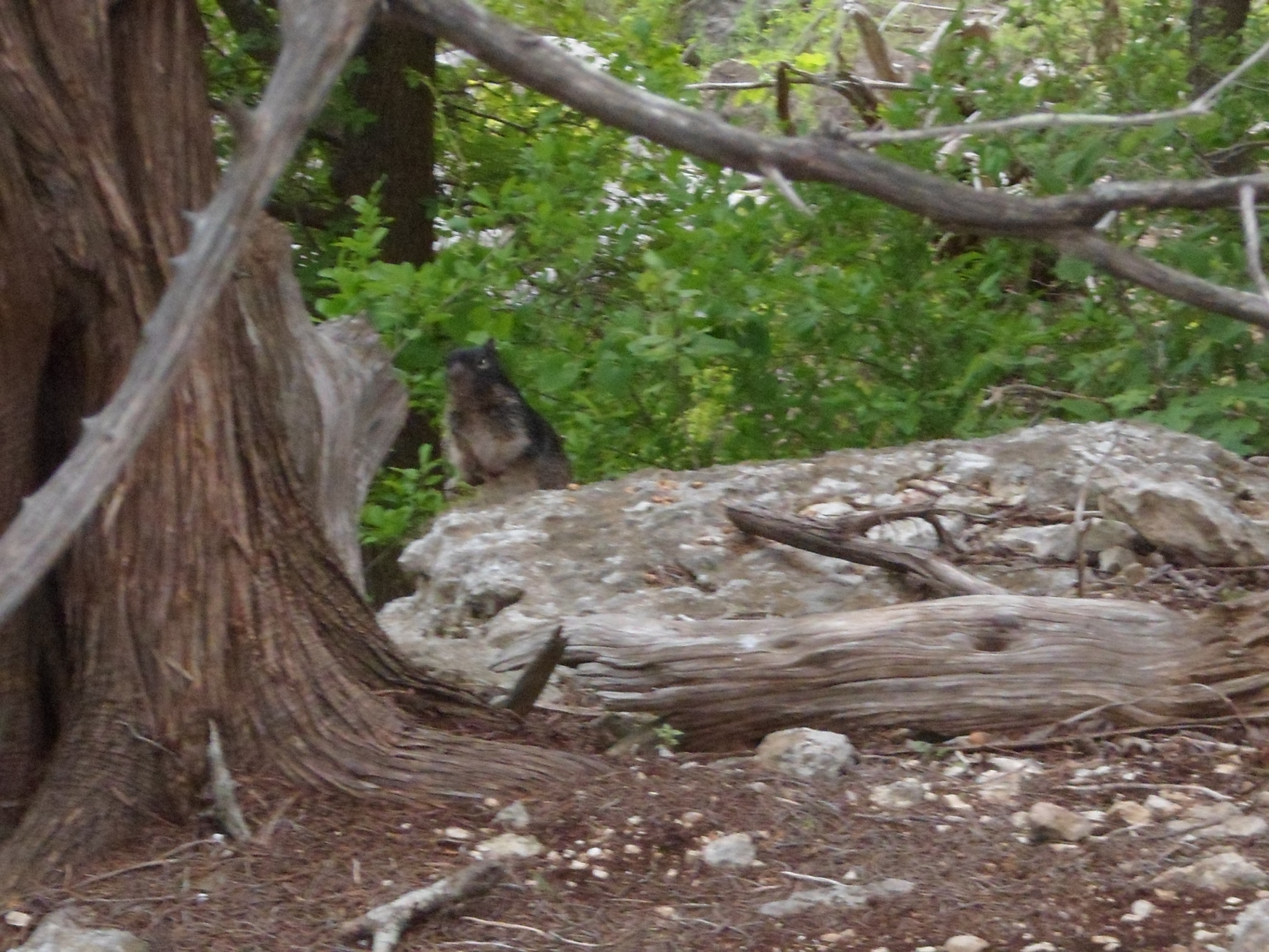
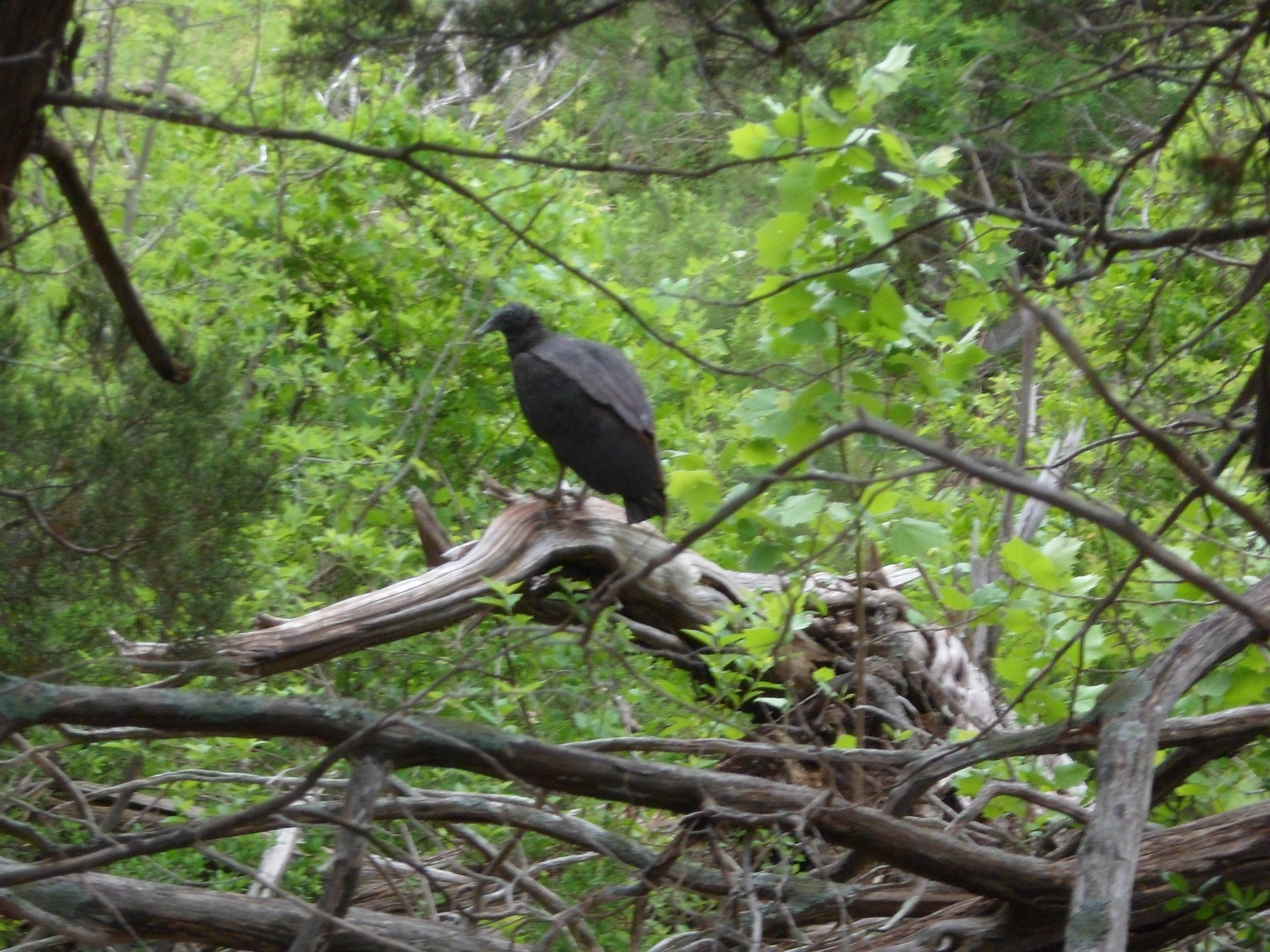
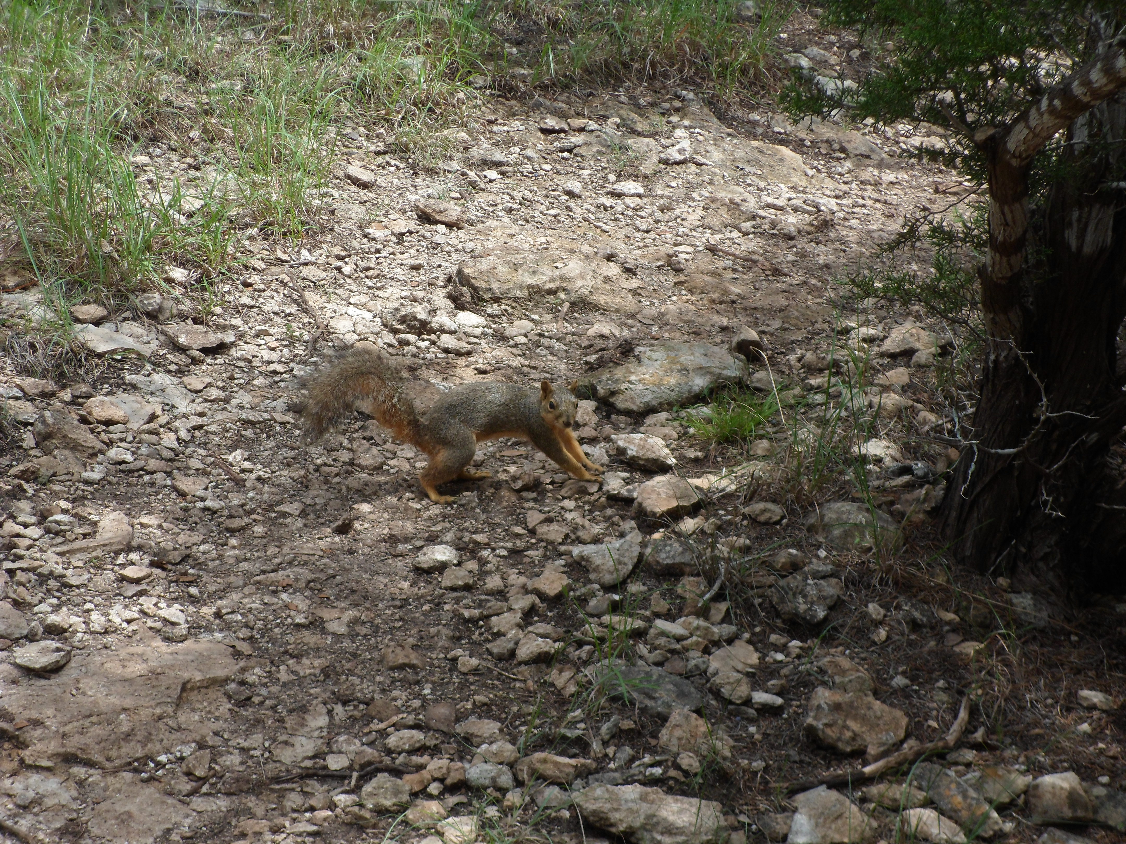
The critters were out and about today. I saw a couple of squirrels (including one that I almost stepped on, who didn’t seem to mind), some vultures scavenging, a few lizards and 8 deer. The deer were nuts. The deer in my neighborhood growing up were very docile and would sit in the front yard while you walked up the sidewalk. These deer ran like they were getting shot at and kept running further up the trail where I would just run into them again. Never got a pic of them because they bolted so fast.
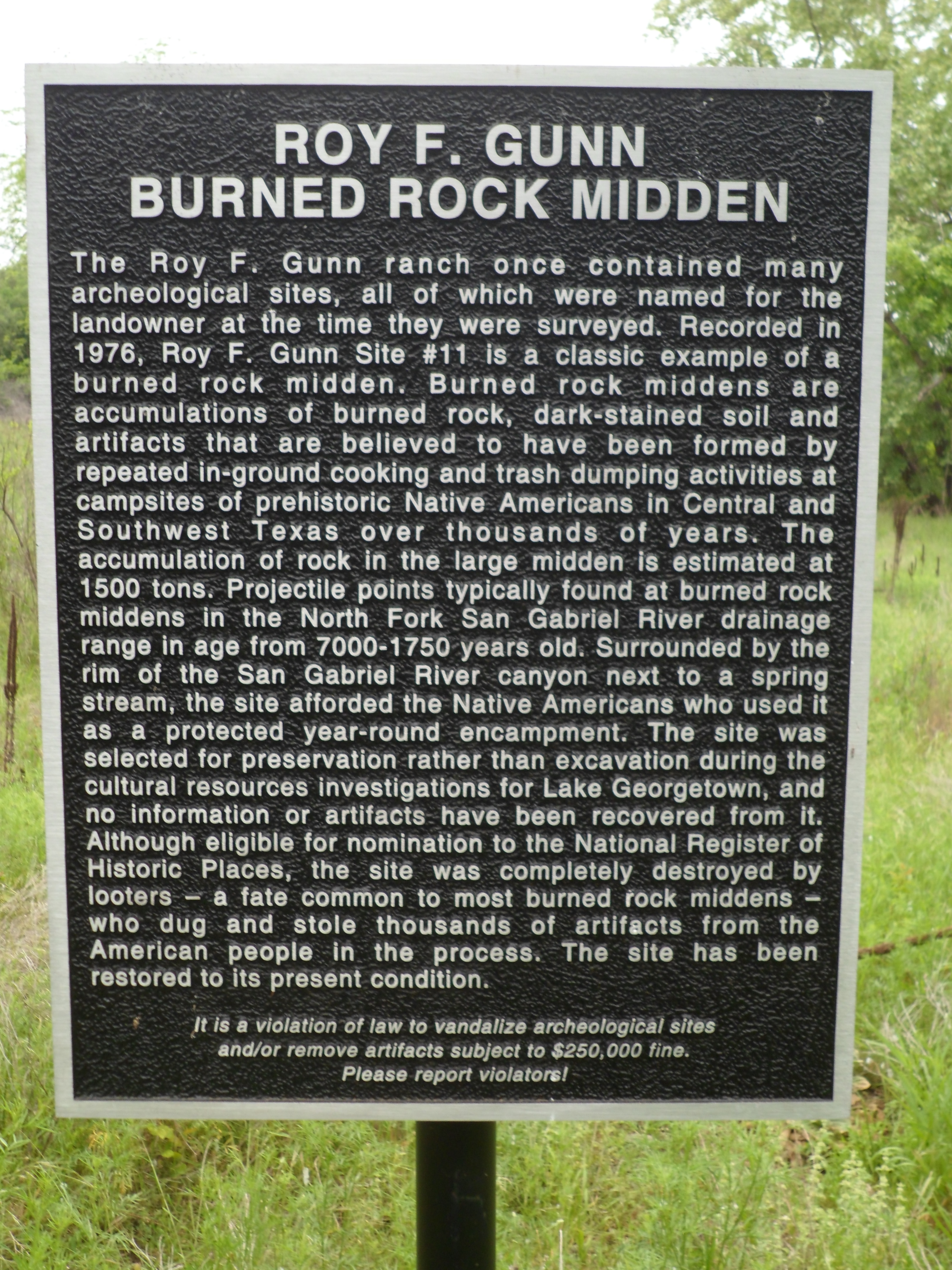
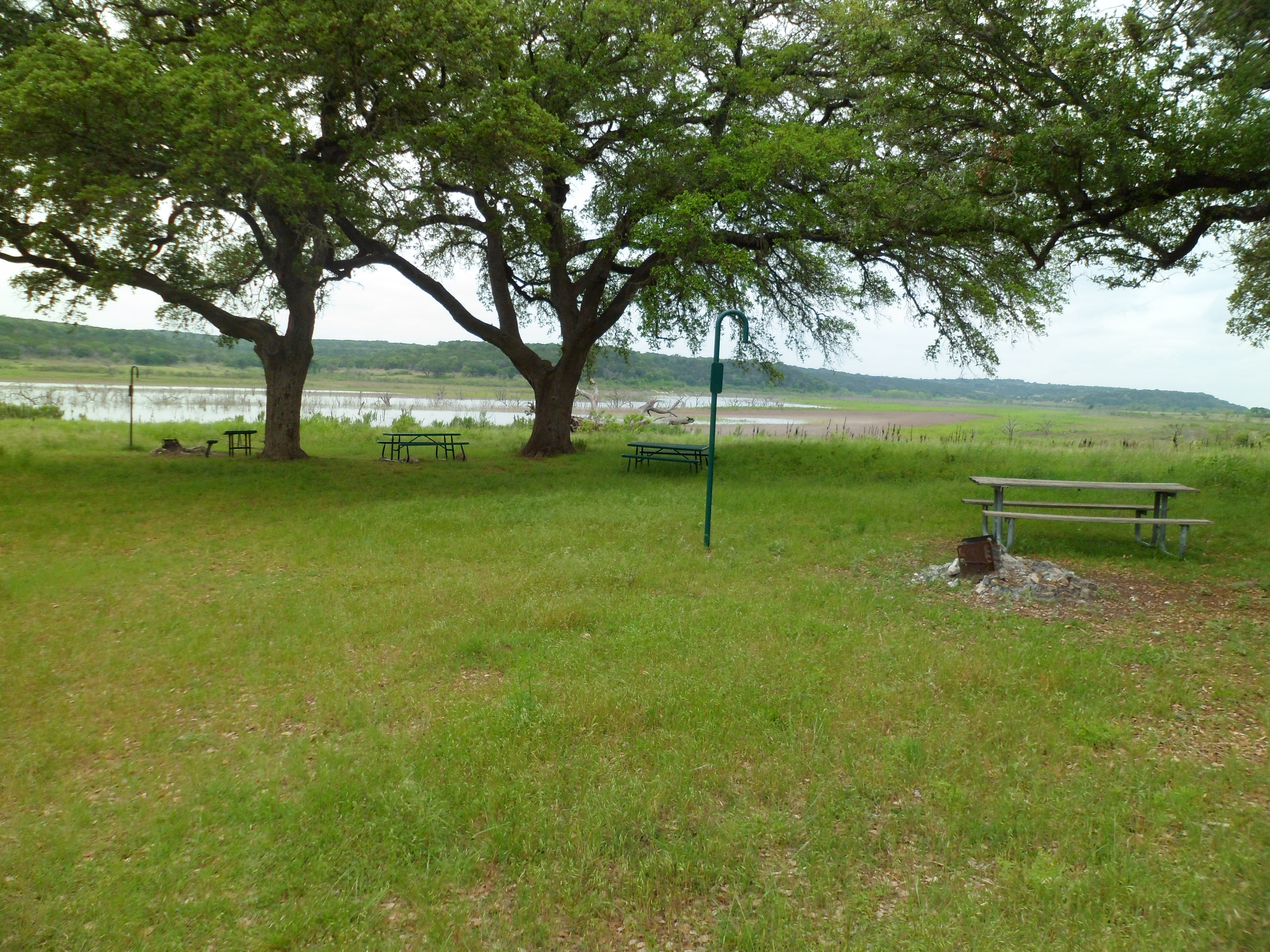
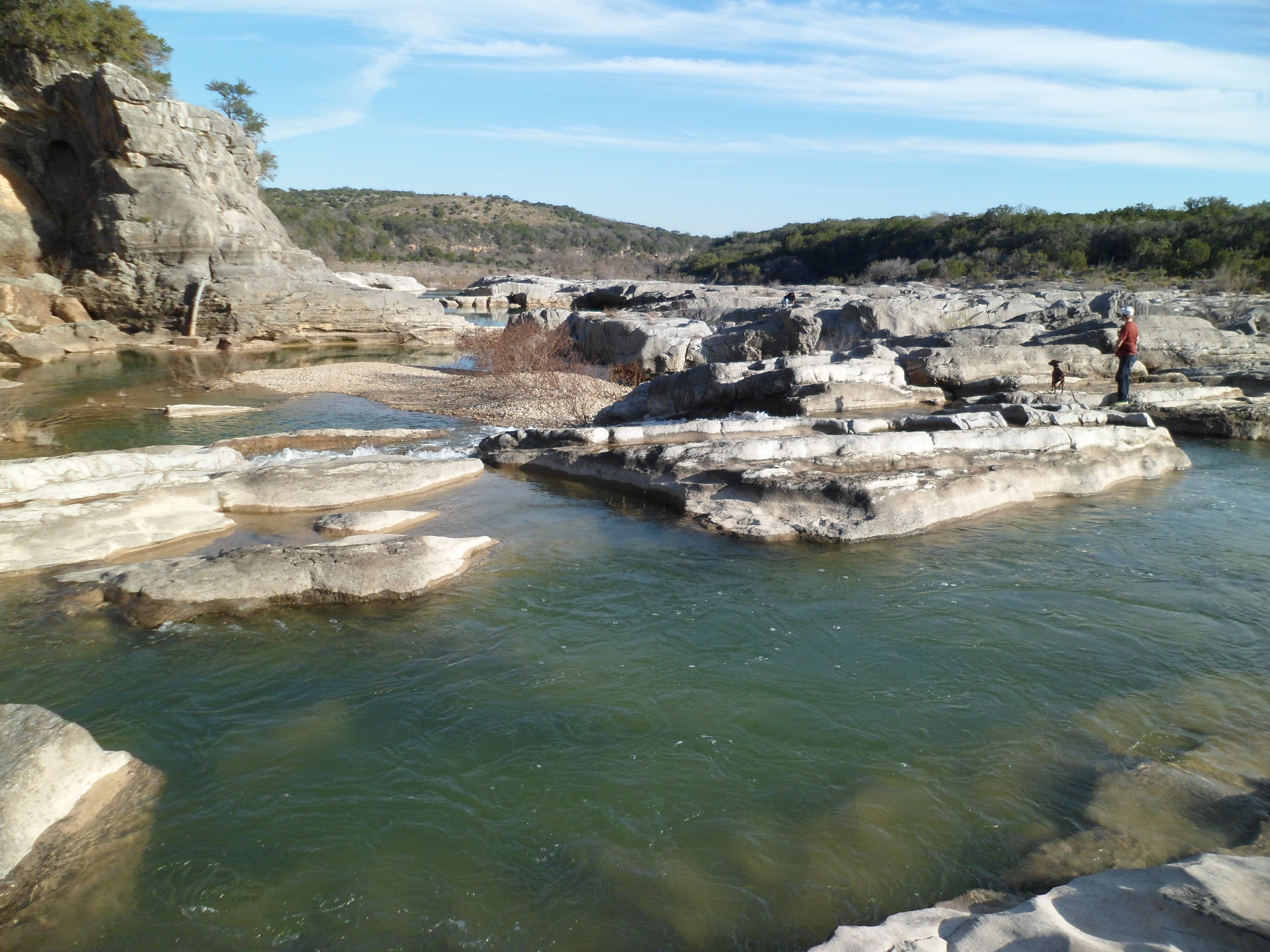
As I went on there was a pretty open space that I later learned from a historic marker sign was an ancient midden for the natives of the area. Unfortunately, a lot has been looted, but interesting history nonetheless. There were a couple of creek crossings, but one in particular had a really nice waterfall (you can’t really tell in the pic) that I could have sat and listened to all day.
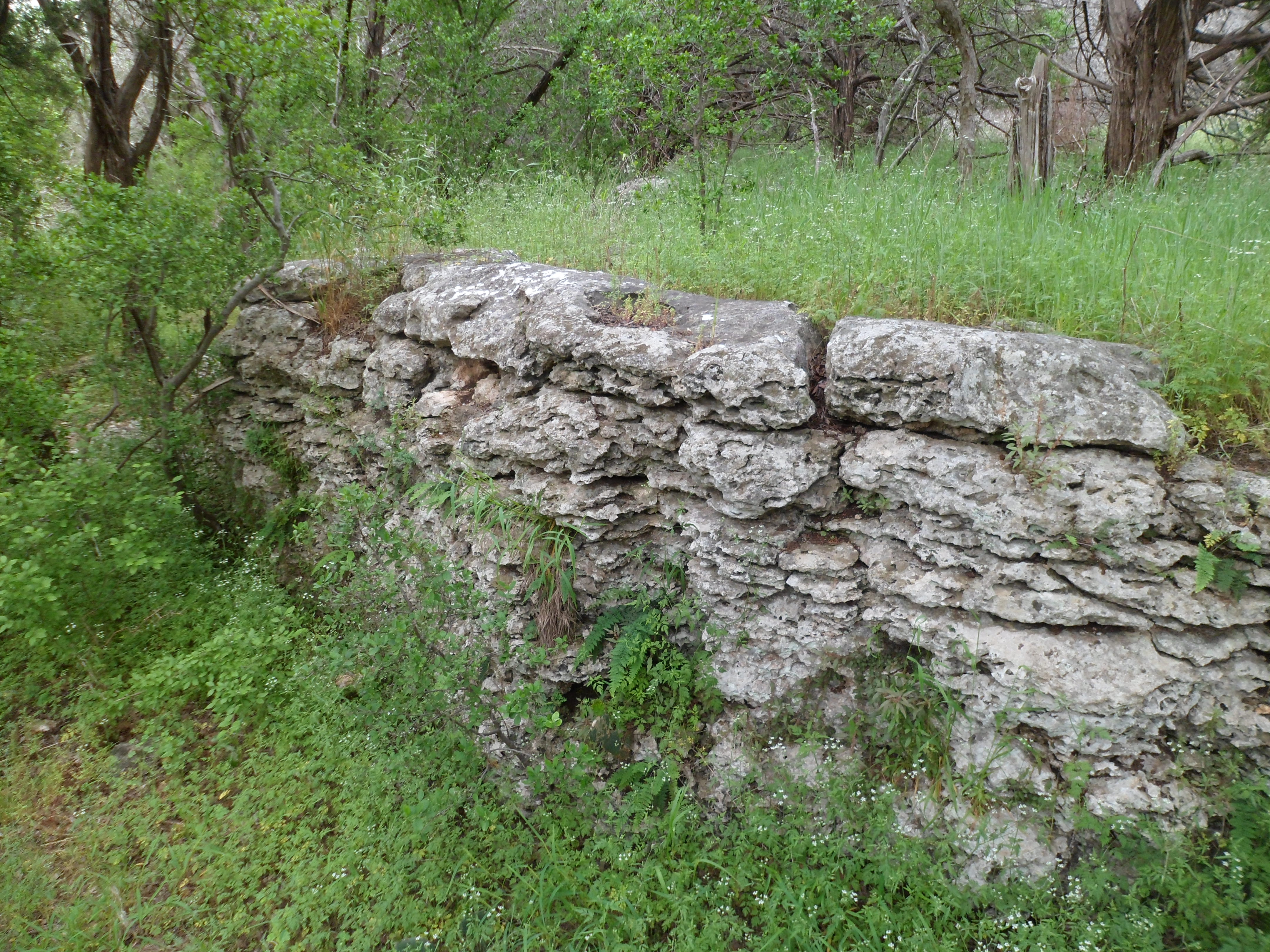
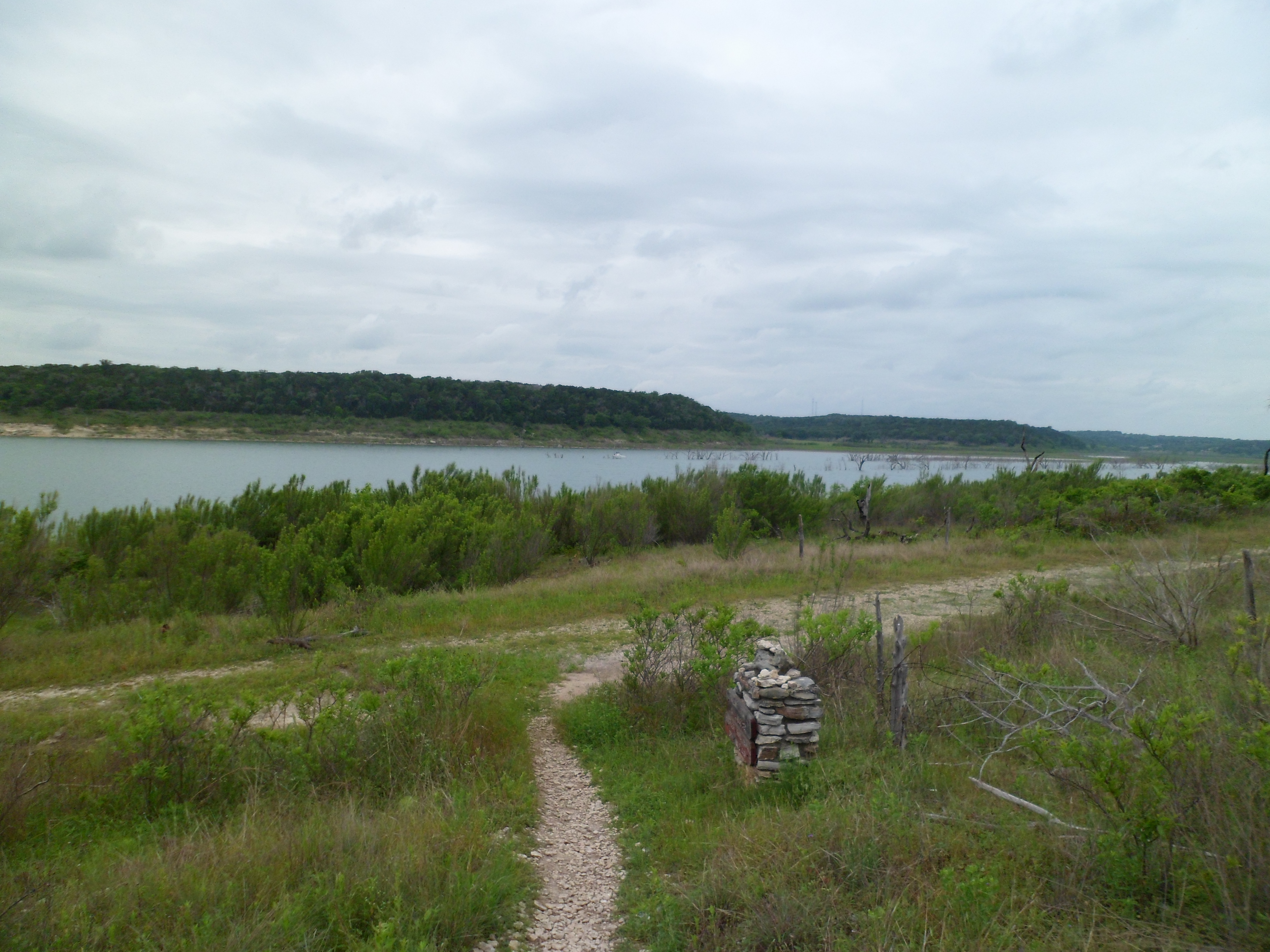
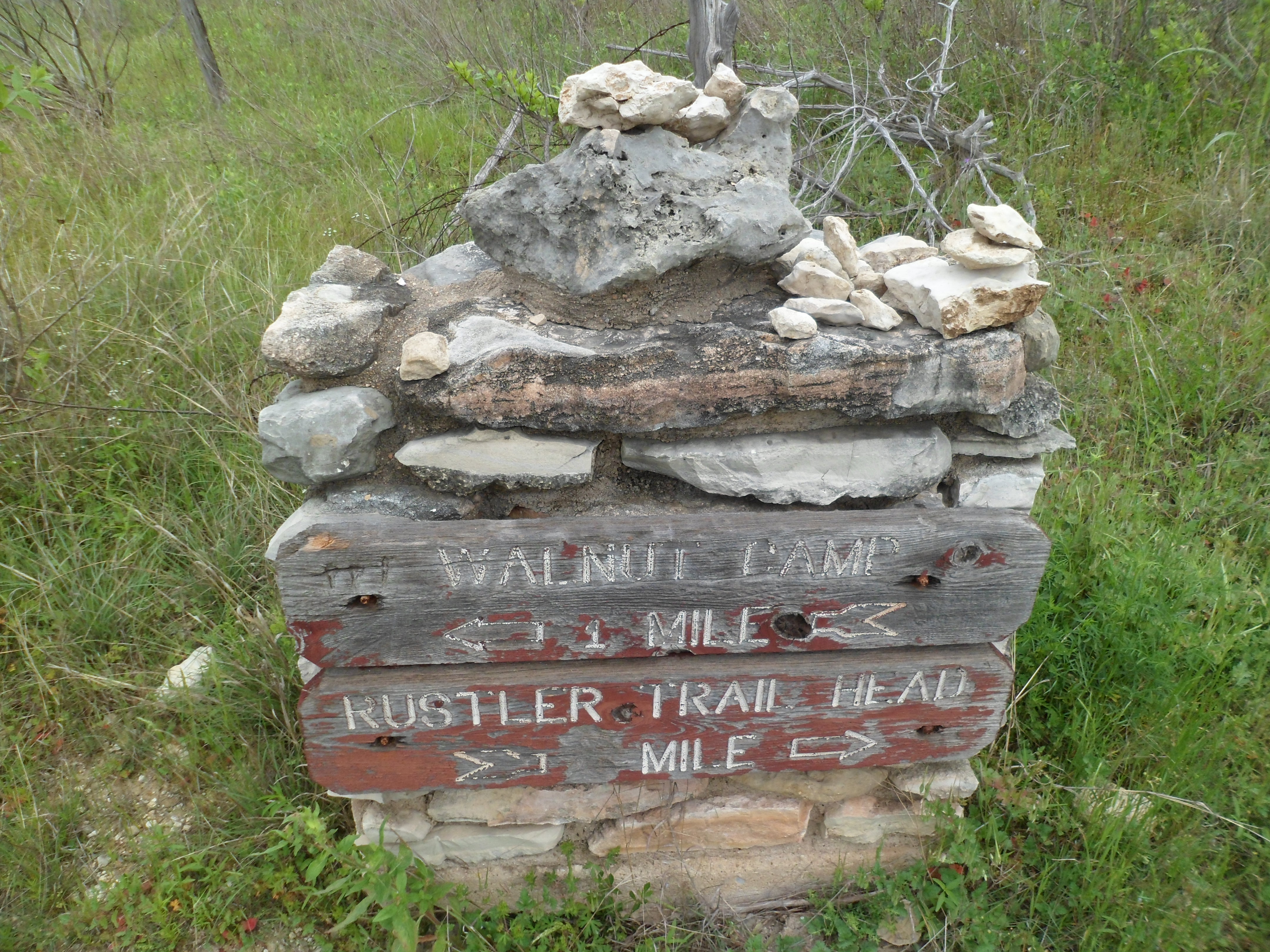
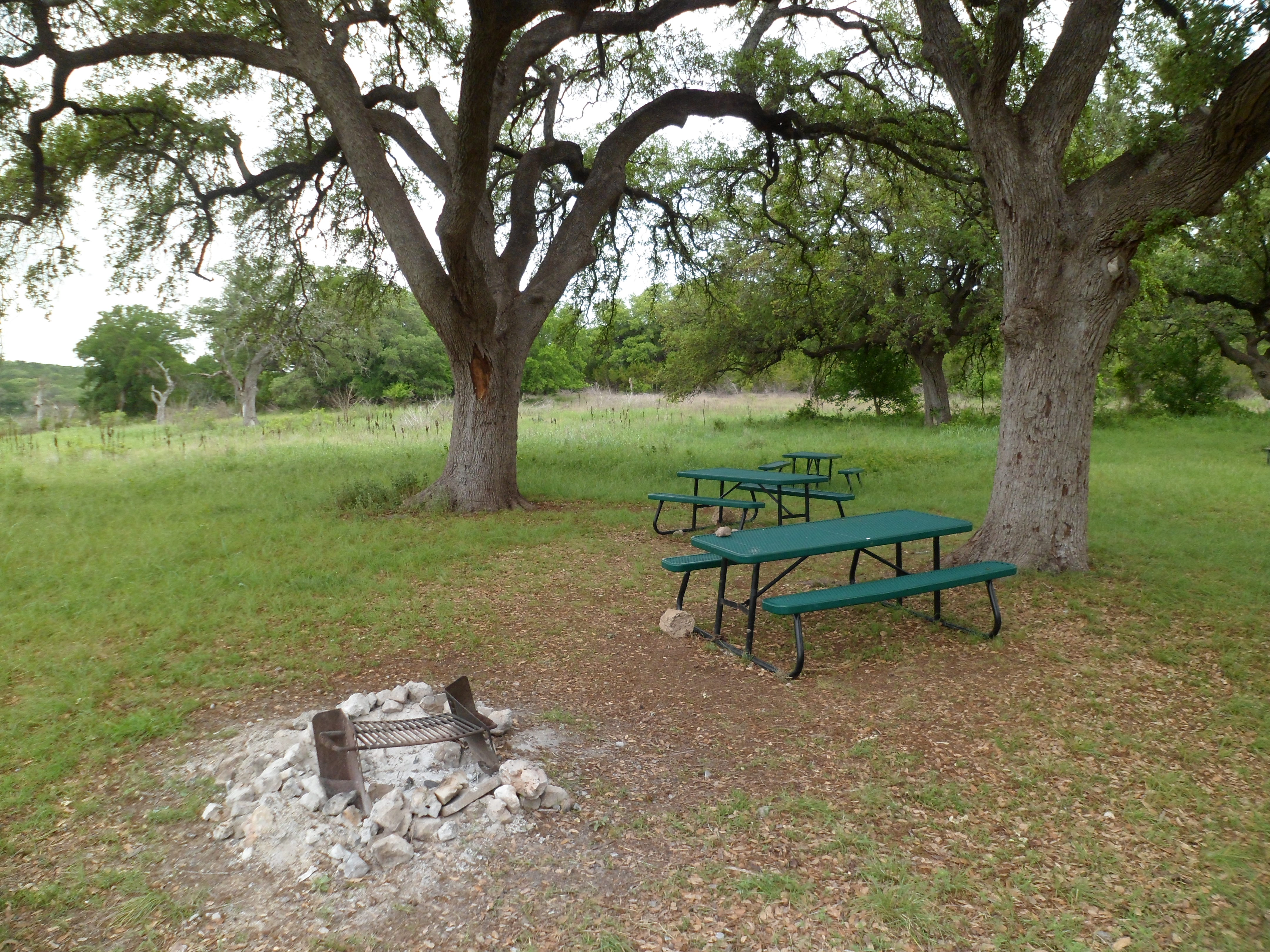
The next section got really bouldery and had some interesting natural rock wall formations too. The trail eventually found its way down to the lake and I walked into the Walnut Springs camp to have lunch and rest my feet.

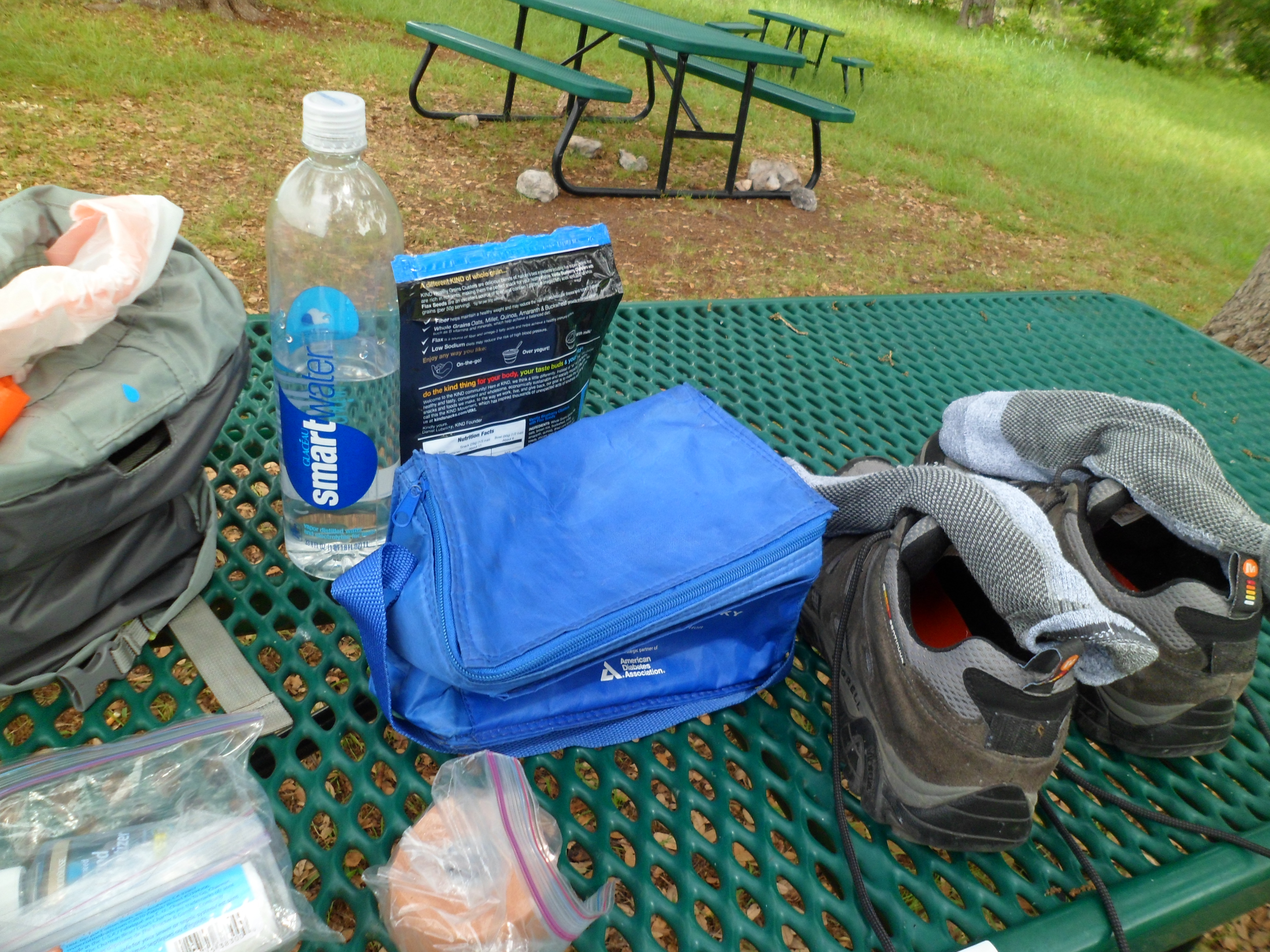
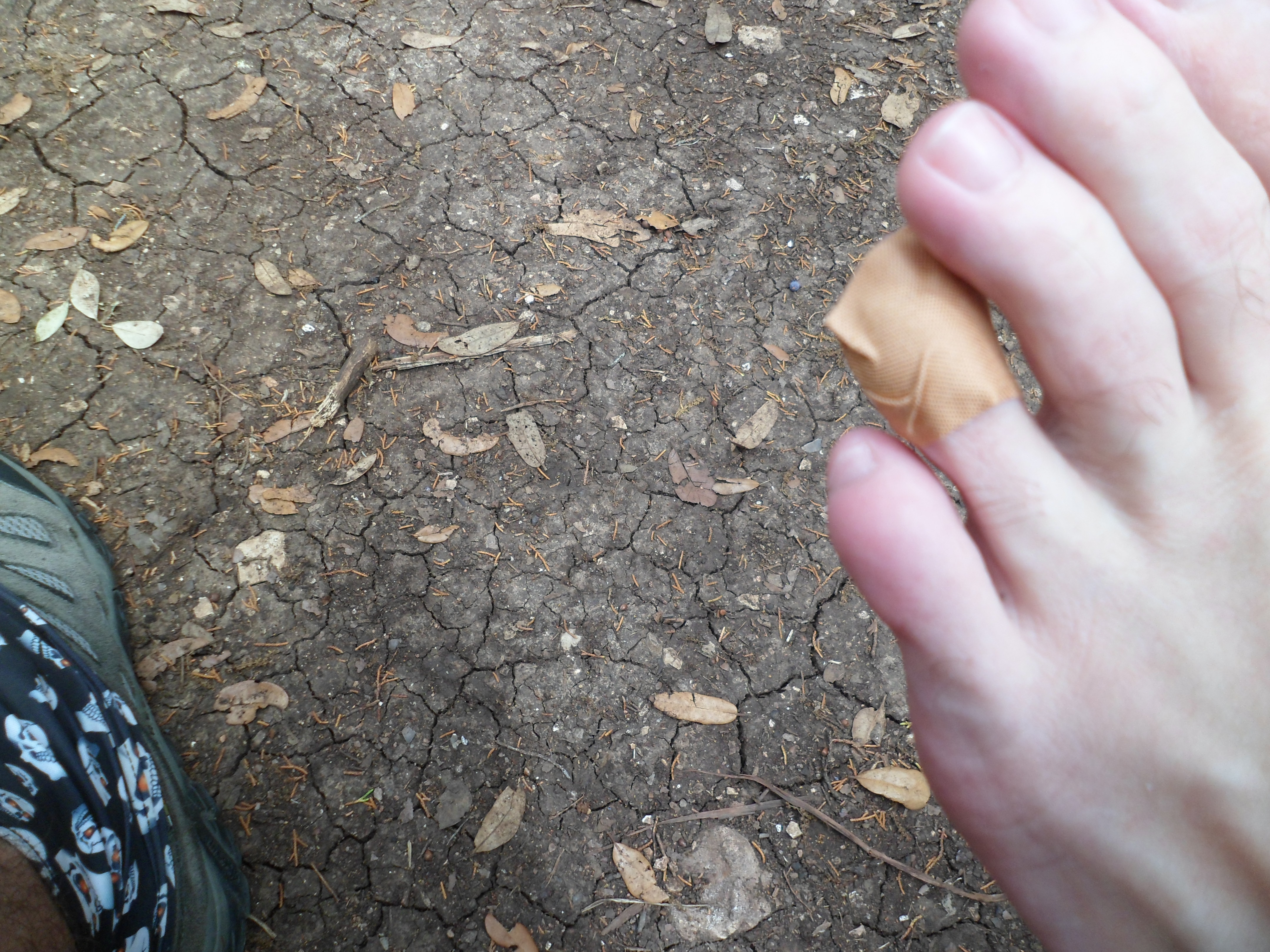
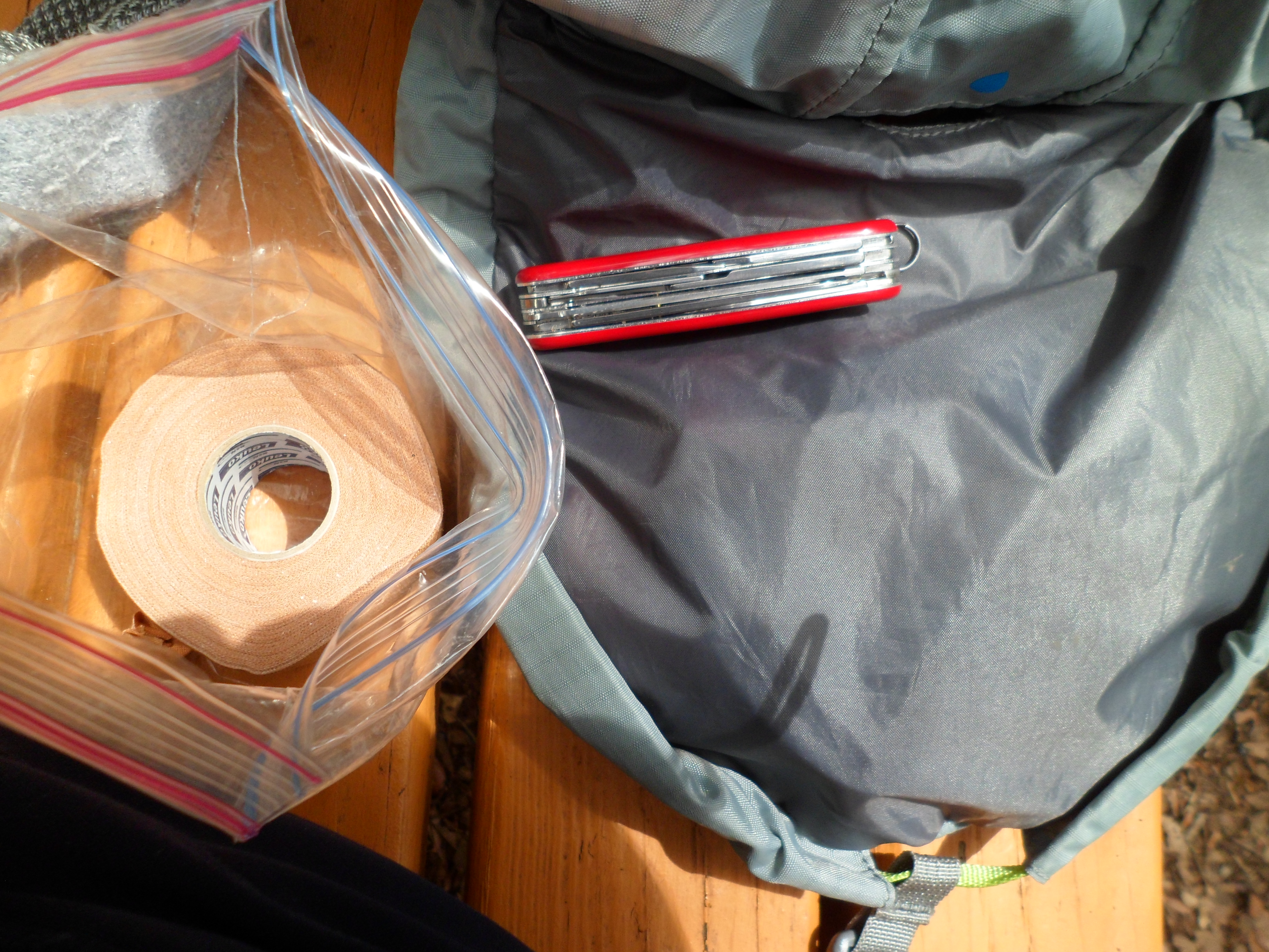
After about a 45 minute rest I headed back the way I came. I haven’t gone on a hike of this length in a while, so my feet were already feeling it at the turn around point. About a mile in on the way back I had to stop and do some preventative maintenance as one of my toes was rubbing badly and threatening to blister. Debut of the Leukotape and I didn’t do a great job, but ultimately it worked ok.
I made it back to the car and was very tired. The heat had really started to climb (high of 92 according to my thermometer) in the later part of the hike. I had passed a couple of backpackers on the way in and found one of them sleeping at the trail head when I got back. I wanted to find out how far he had gone and how far he had to go, but didn’t want to bother him.
This wasn’t as good as the trail section I did on the south side of the lake, but was still enjoyable. It is nice to have such a long trail within a short distance of Austin and we will definitely be back to do other parts of the loop and eventually an overnight for maybe the whole thing.


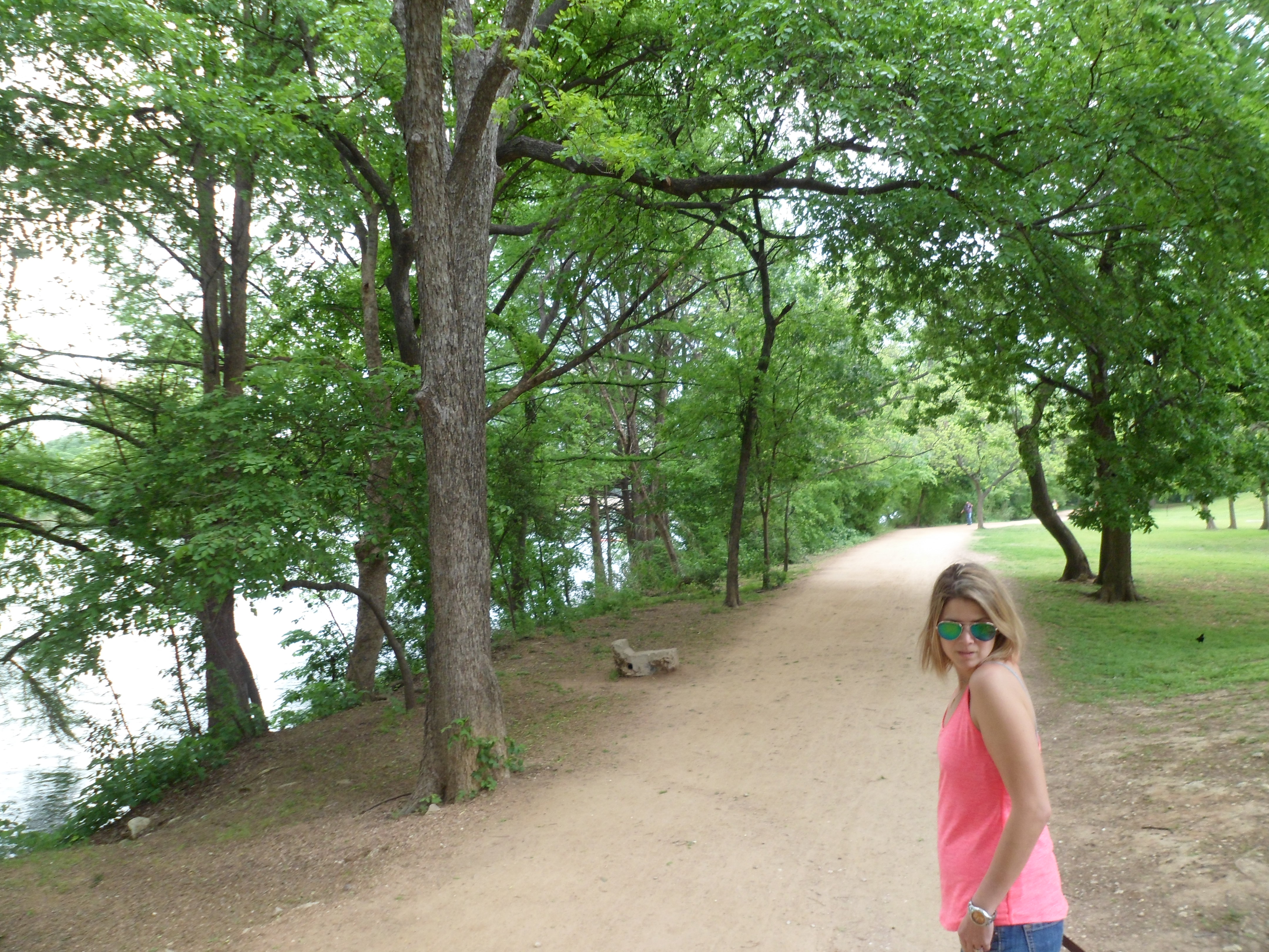
Town Lake Urban Hike 4/8/15
Wednesday, April 8th, 2015
Hike: Town Lake, Austin, TX
Weather: overcast, low 80s, humid
Hikers: Ian, Court, Biff
Length: 4.92 miles
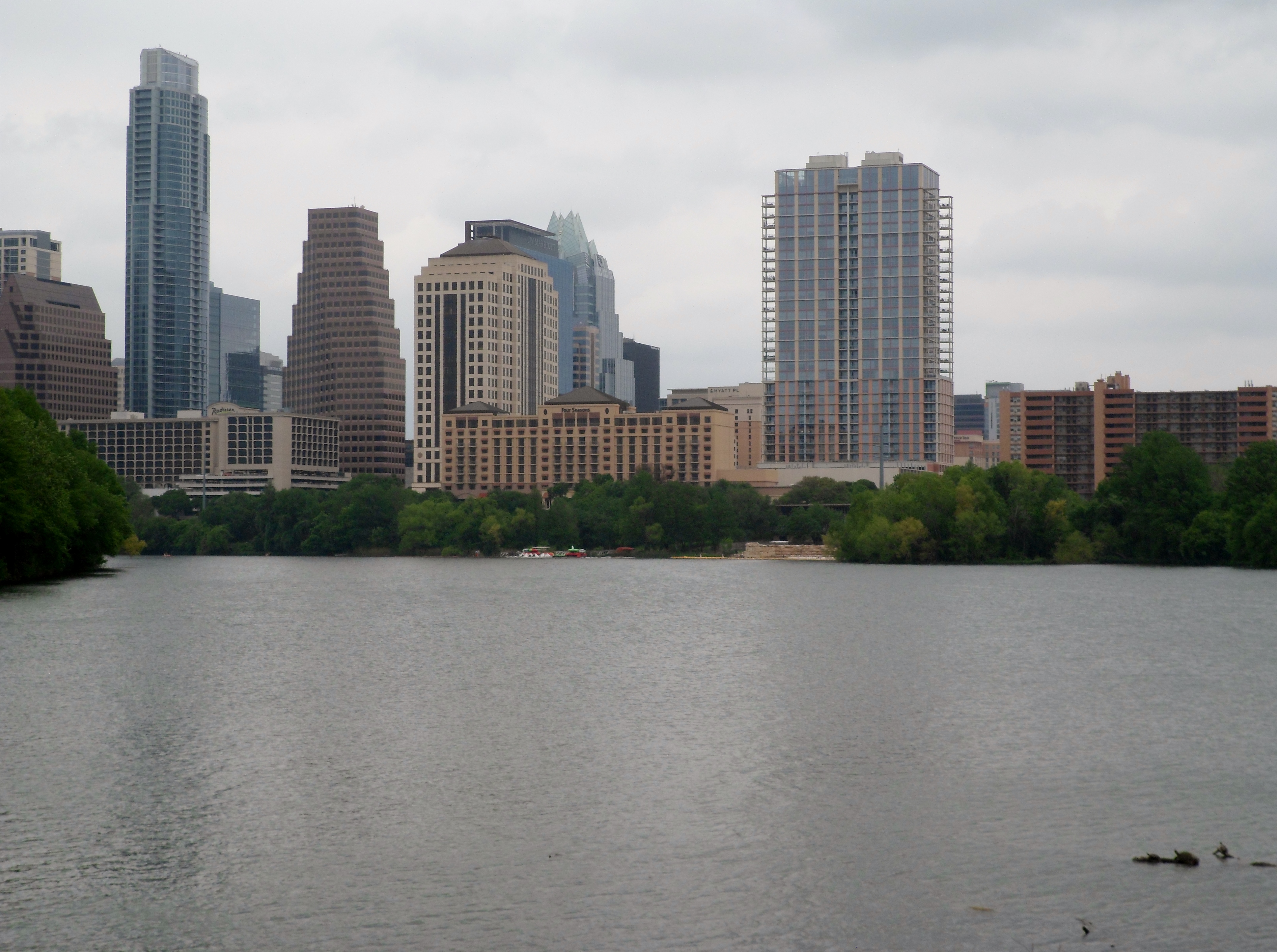
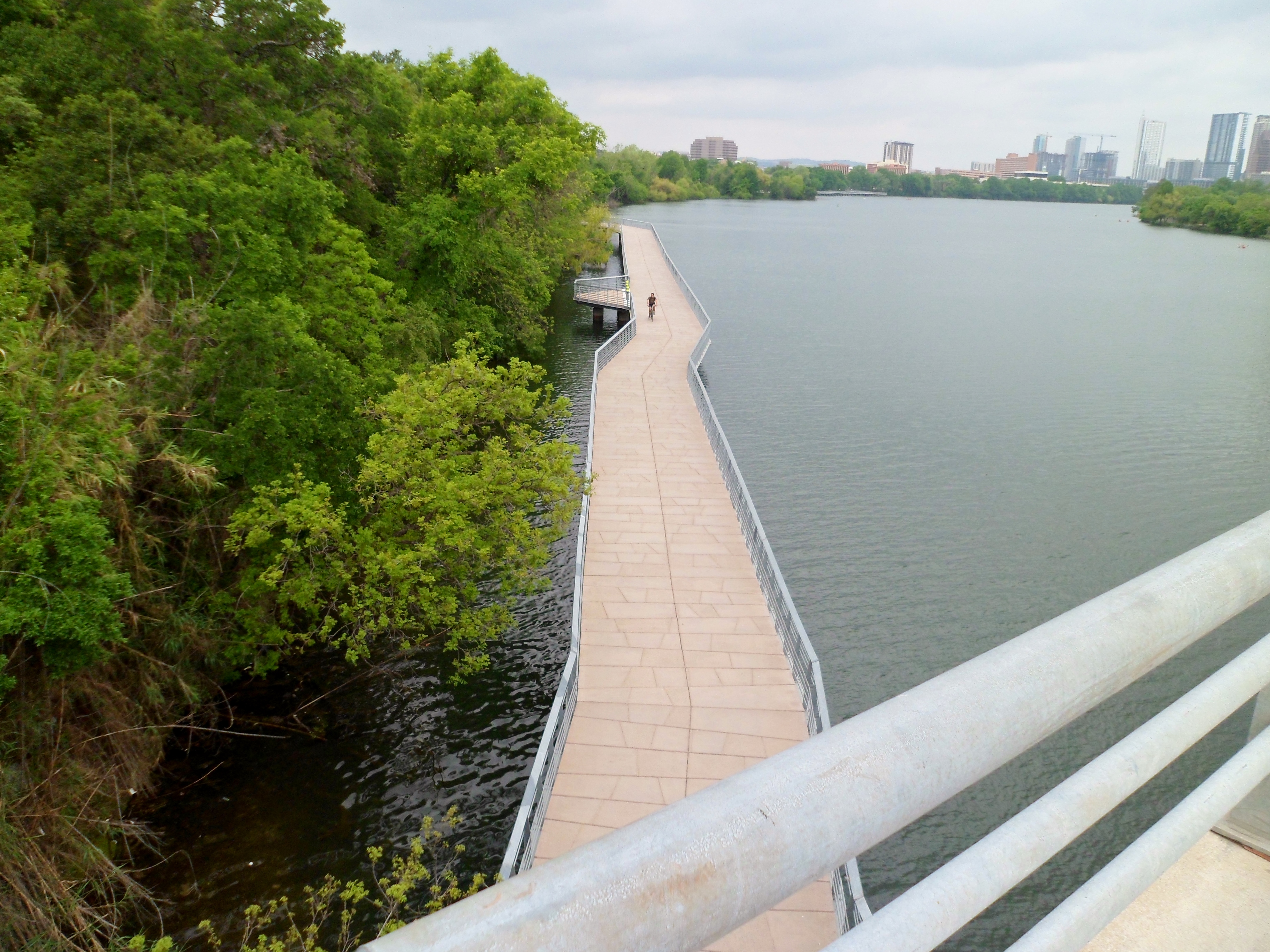
We started out intending to head out to McKinney Roughs Nature Park, but Biff isn’t allowed out there as a lot of the trails are also equestrian trails, so we decided we wanted to bring Biff along and just do an urban hike in town and check out the new boardwalk. In Austin we are very lucky to have the Hike and Bike trail around Town Lake which was one of our daily rituals when we used to live downtown at Congress and Riverside. We still get down there probably once a month or so.

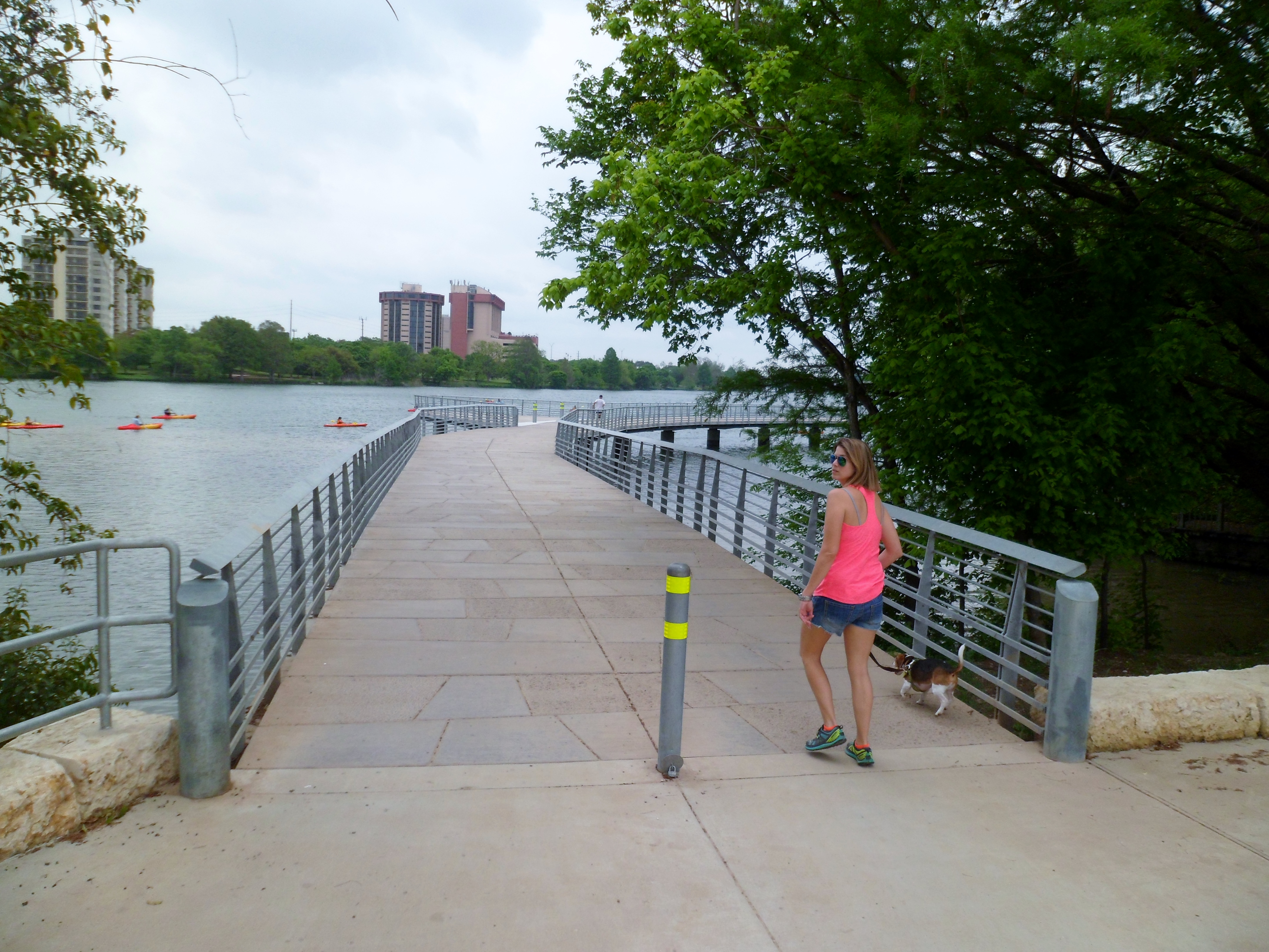
The boardwalk was completed in the past year or so, but we had never been on it, as we usually do the trail going the other way, towards Mopac. We really enjoyed it and the trail on this side is a lot less crowded. The rails on the boardwalk are decorated with leather belts that have famous local song lyrics imprinted on them. Interesting art choice.


We walked up to the dog park on Riverside and 35 to let Biff play with some of the other pups, but he was a bit stand offish and wanted to stay by us most of the time. What a doofus.


After the quick stop we crossed over the I-35 bridge and took the trail back on the other side. We finished off our normal loop down to the Lamar bridge, back across the river, and then back up to South 1st where we parked. With the overcast day, the weather was great, and we made it a point to remember this day when it’s 100 degrees in a couple of months.


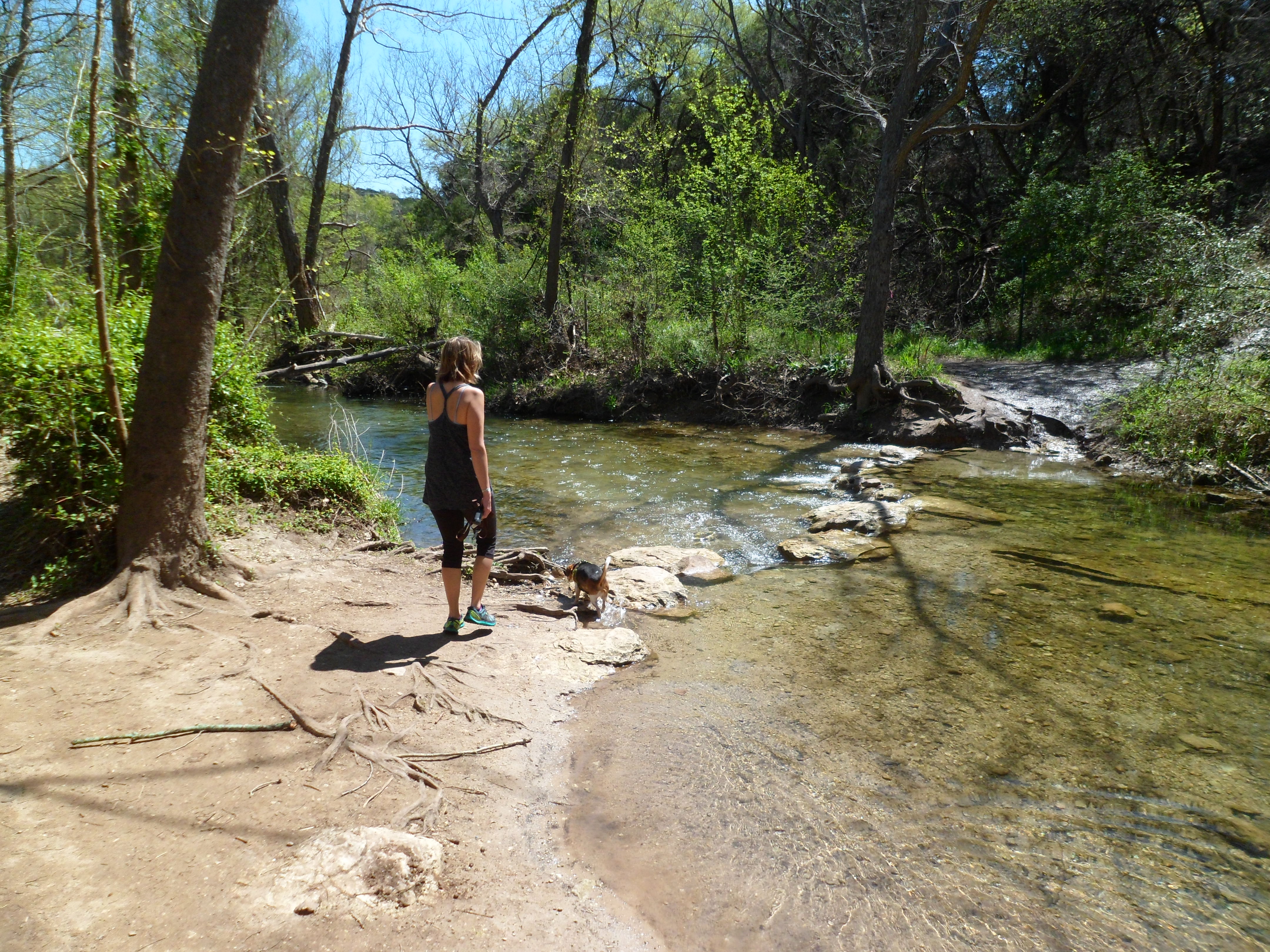
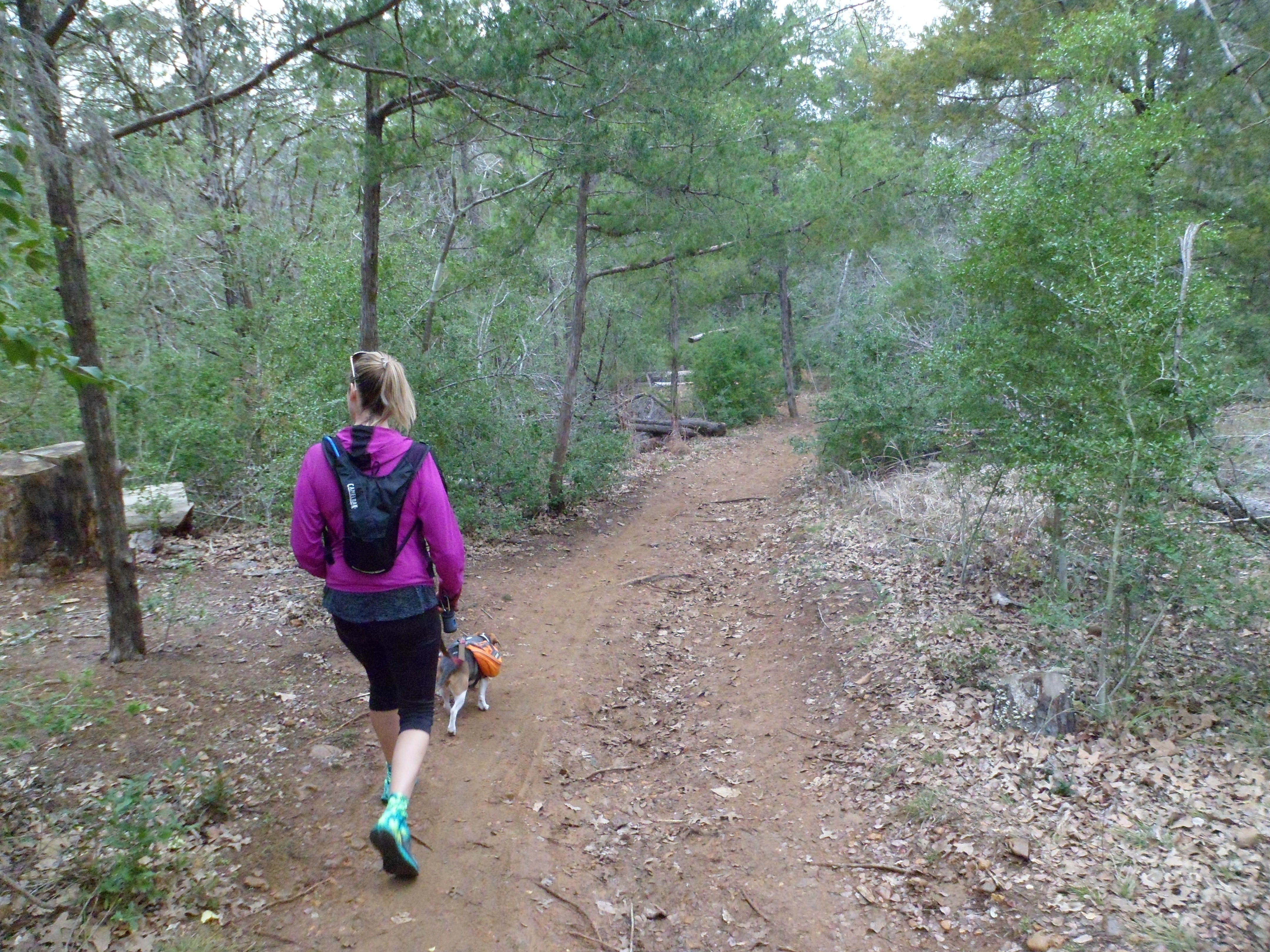
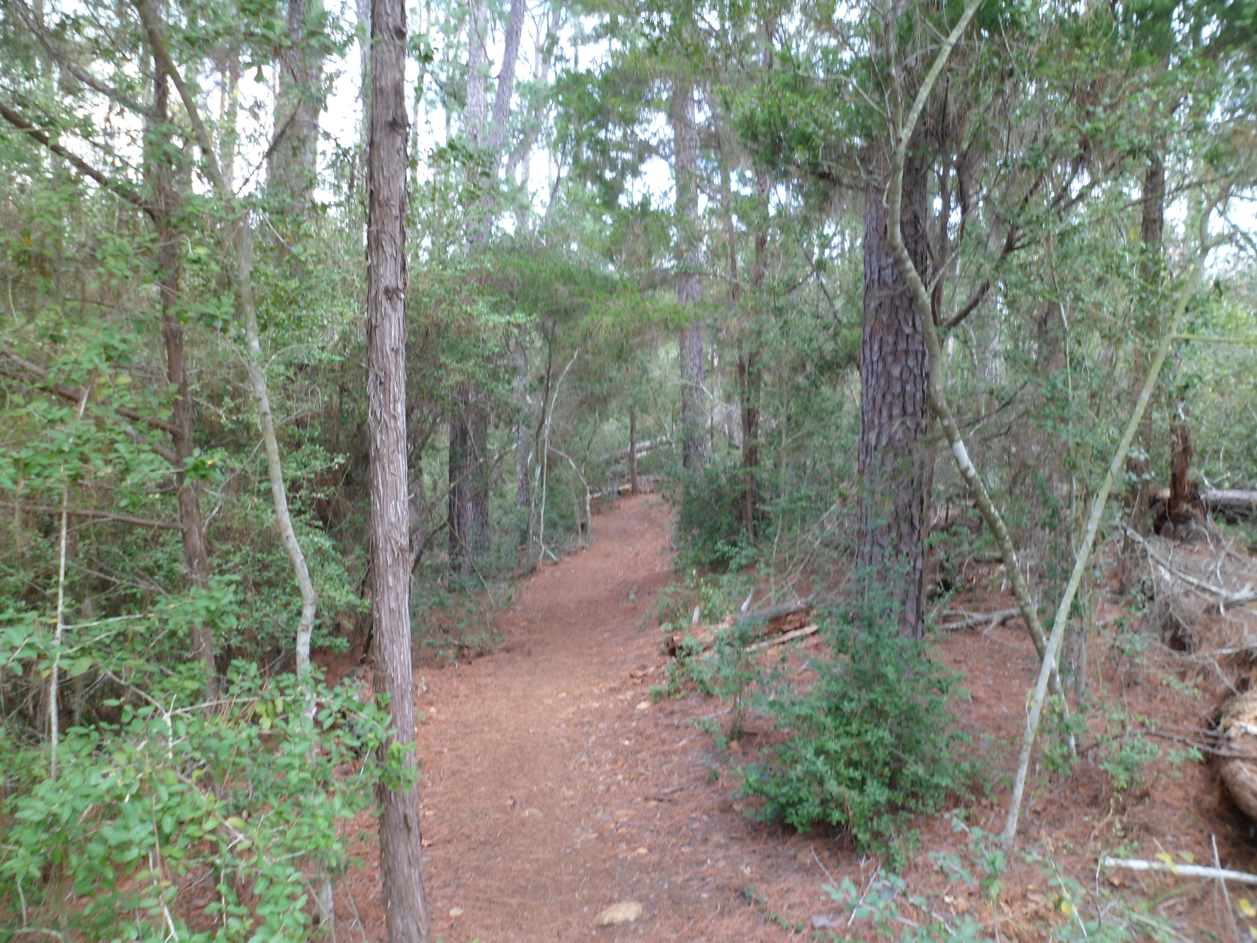
Inga’s Trail – Bull Creek 4/1/15
Wednesday, April 1, 2015
Hike: Inga’s Trail – Bull Creek, Austin, TX
Weather: Overcast, mid 70s (high of 77), humid
Hikers: Ian, Court, Biff
Length: 2.89 miles
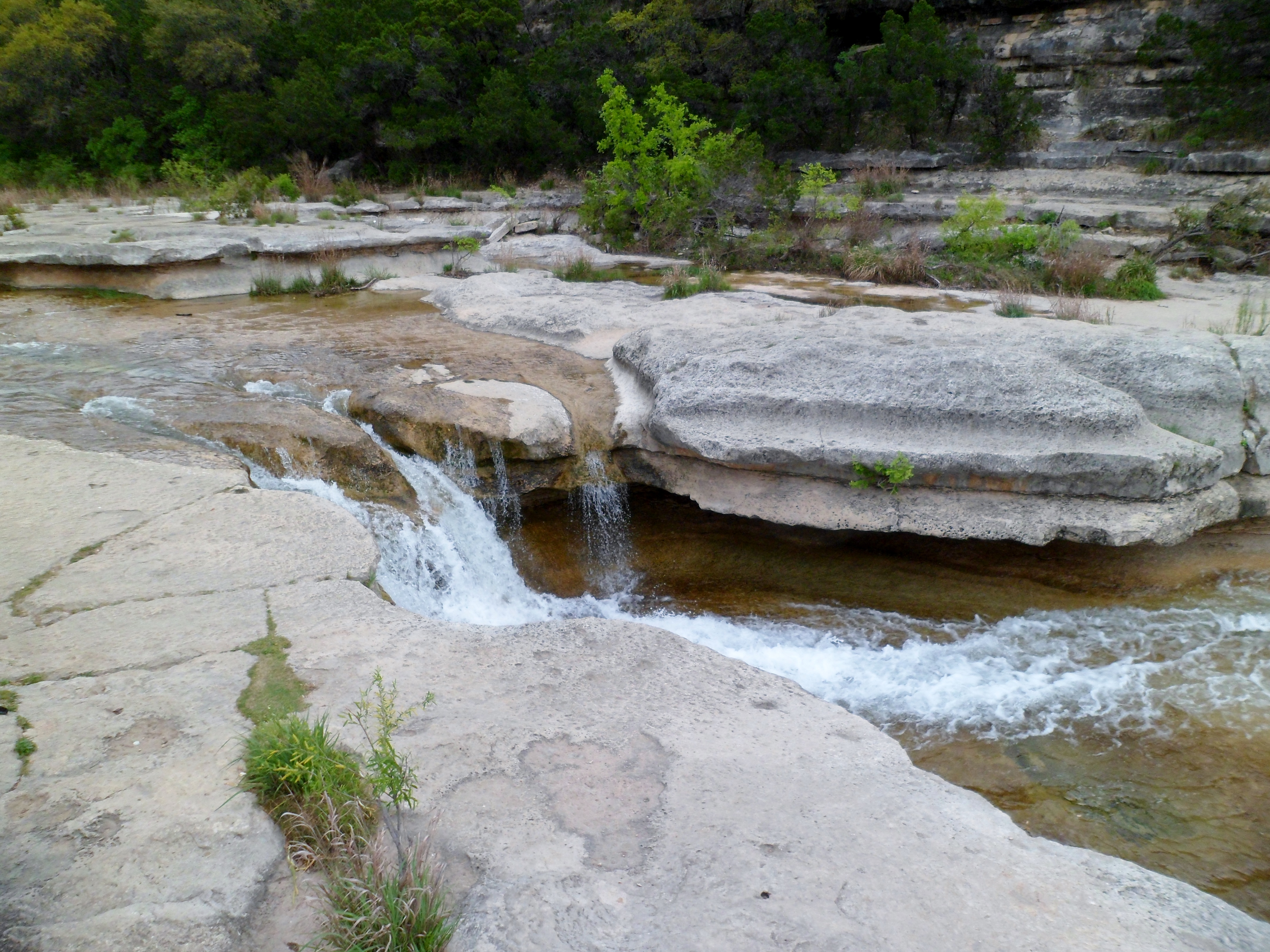
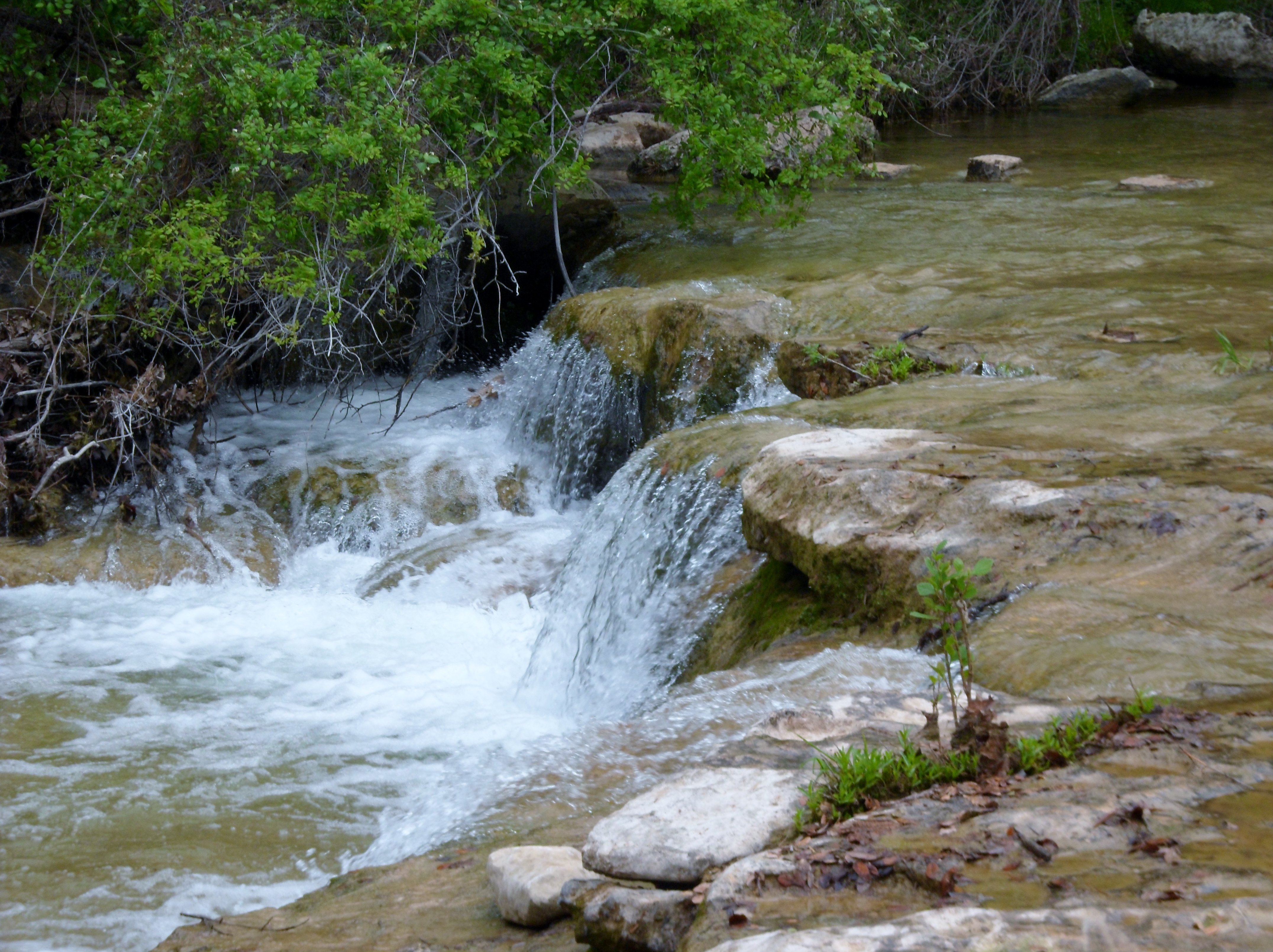
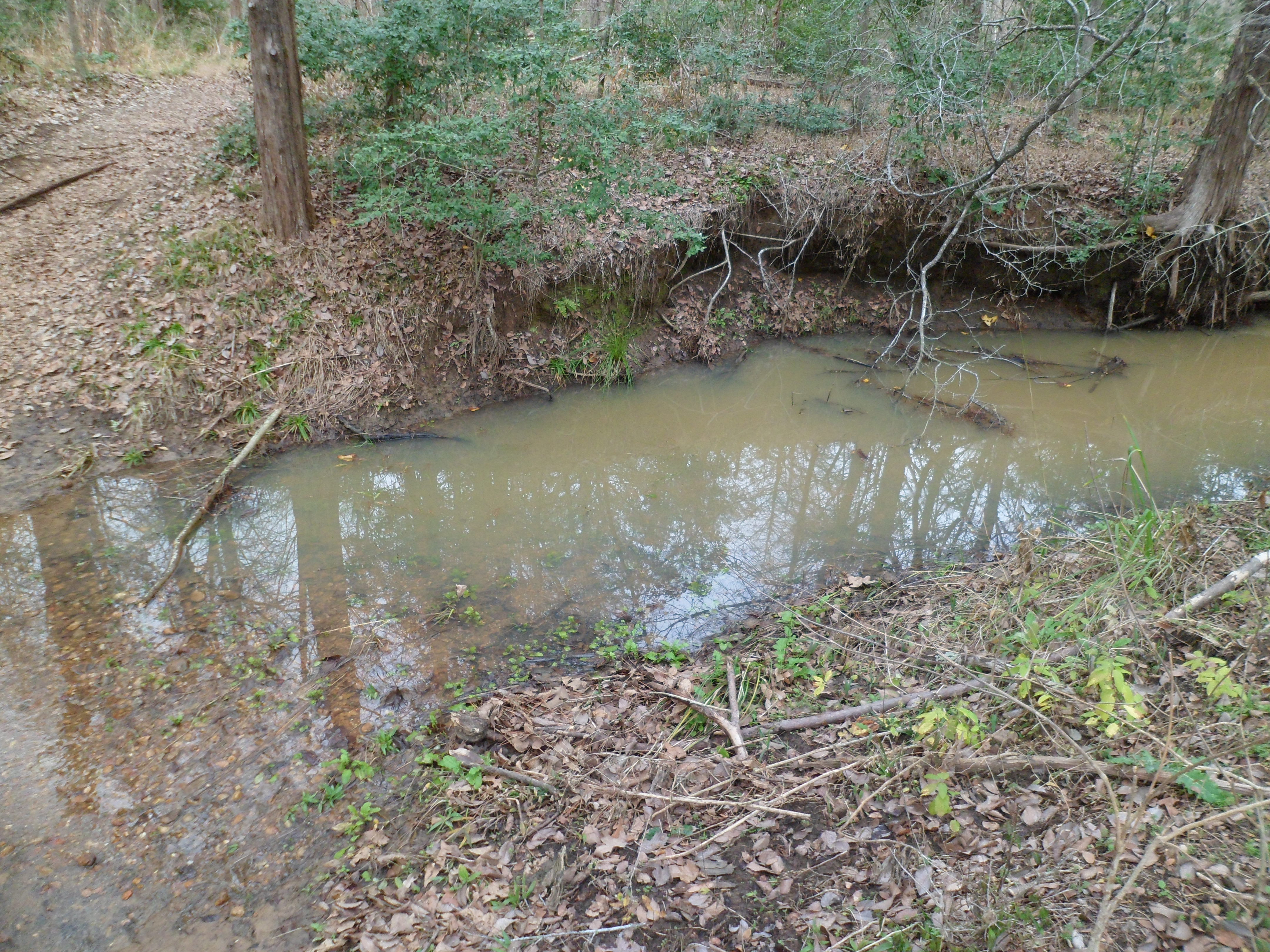
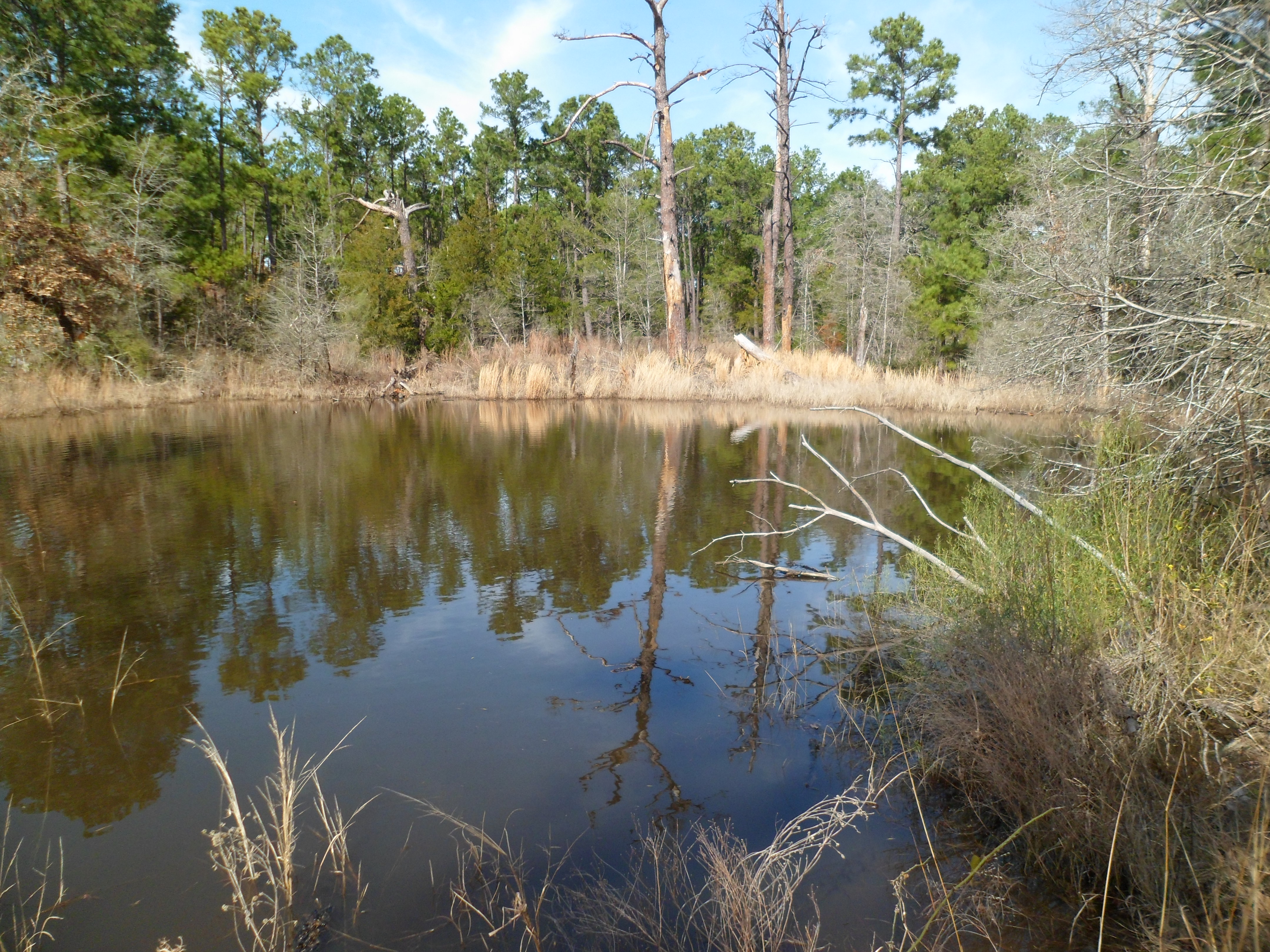
It was Courtney’s suggestion to get out to Bull Creek this morning, as we’ve had more rain in the past few months than the past few years, so the water is flowing nicely all over the hill country. The last time we did this trail was in 2013 and the creek was almost completely dry. Quite the different experience this time.


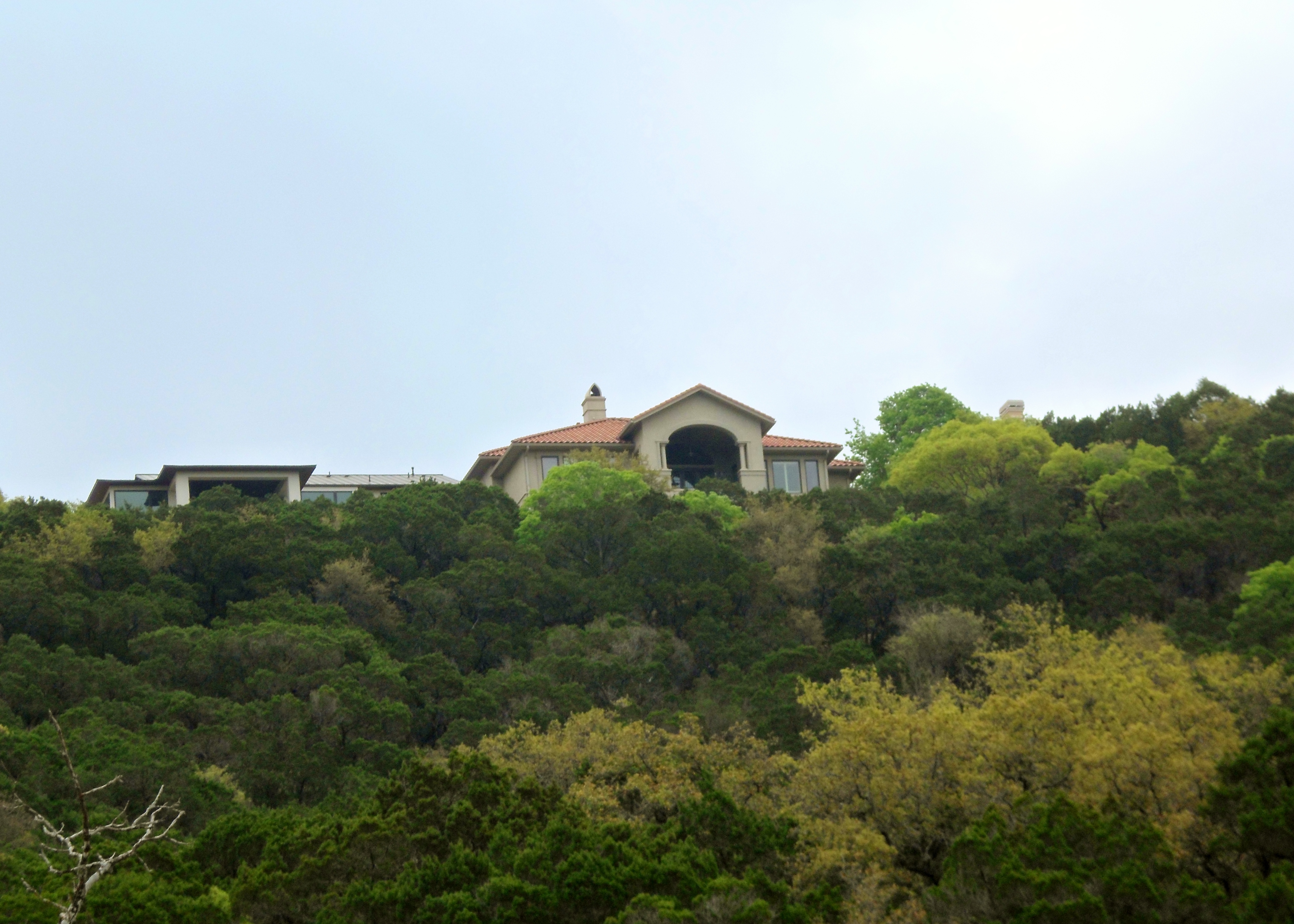
We started at the main Bull Creek District Park and checked out the water flowing and the huge boulders that have been here since time immemorial. There are some wagon tracks dug deep into the limestone from the 1800s when Bull Creek was used as a “highway” for the early settlers in the area, presumably when it was in another dry phase. When we got to the second trail head a bit further down the trail, we realized that the house that Court’s parents are considering buying was visible from the parking lot. It has a great view of the hill country.


There were a couple of beautiful waterfalls flowing really fast. We weren’t used to having to plan creek crossings, as when it is dryer, you can cross wherever. So we had to double back a couple of different times to find the best place to cross and keep up with the trail. Court eventually completely submerged her feet instead of trying to stay dry and rock hop. Her Brooks PureGrits are much more breathable than my Merrell’s, so that is an easier option for her. My Merrell’s are “water proof” so I was trying my best to keep the water from coming over the tops, but that proved difficult. Can’t wait to get a more breathable pair of trail runners in the future so I can just ford the creek instead.


Another short, but beautiful hike today and we are taking advantage of the Texas springtime as much as possible. I also used my REI dividend today and bought our official backpacking tent, the Marmot Limelight 3P. It is back ordered and won’t ship for a month or so, but it is nice to get one of the big pieces of gear off our list. Hoping to finish out the big three (shelter, pack, and sleeping bag) in the next few months and get to some real back country overnights.


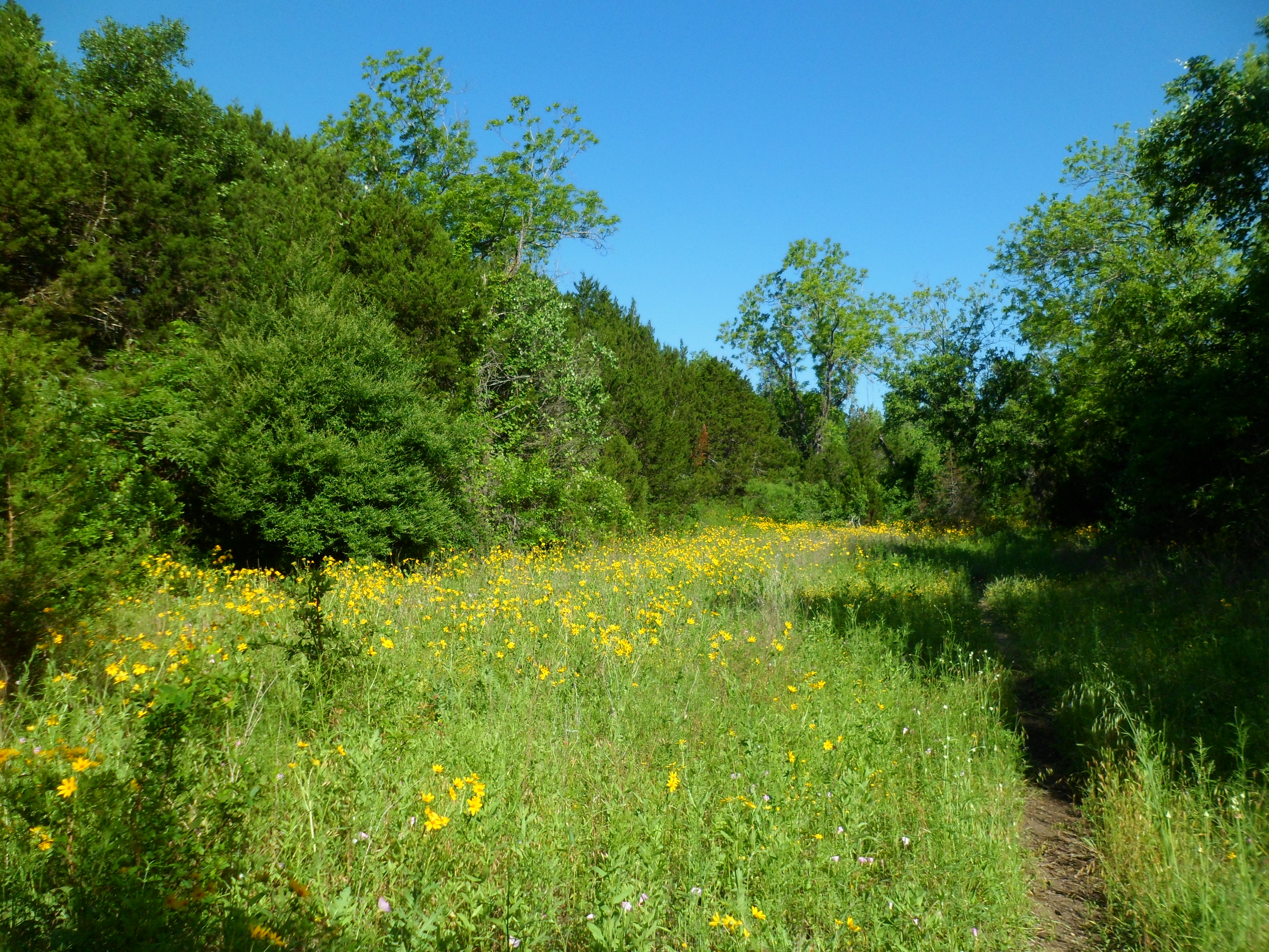
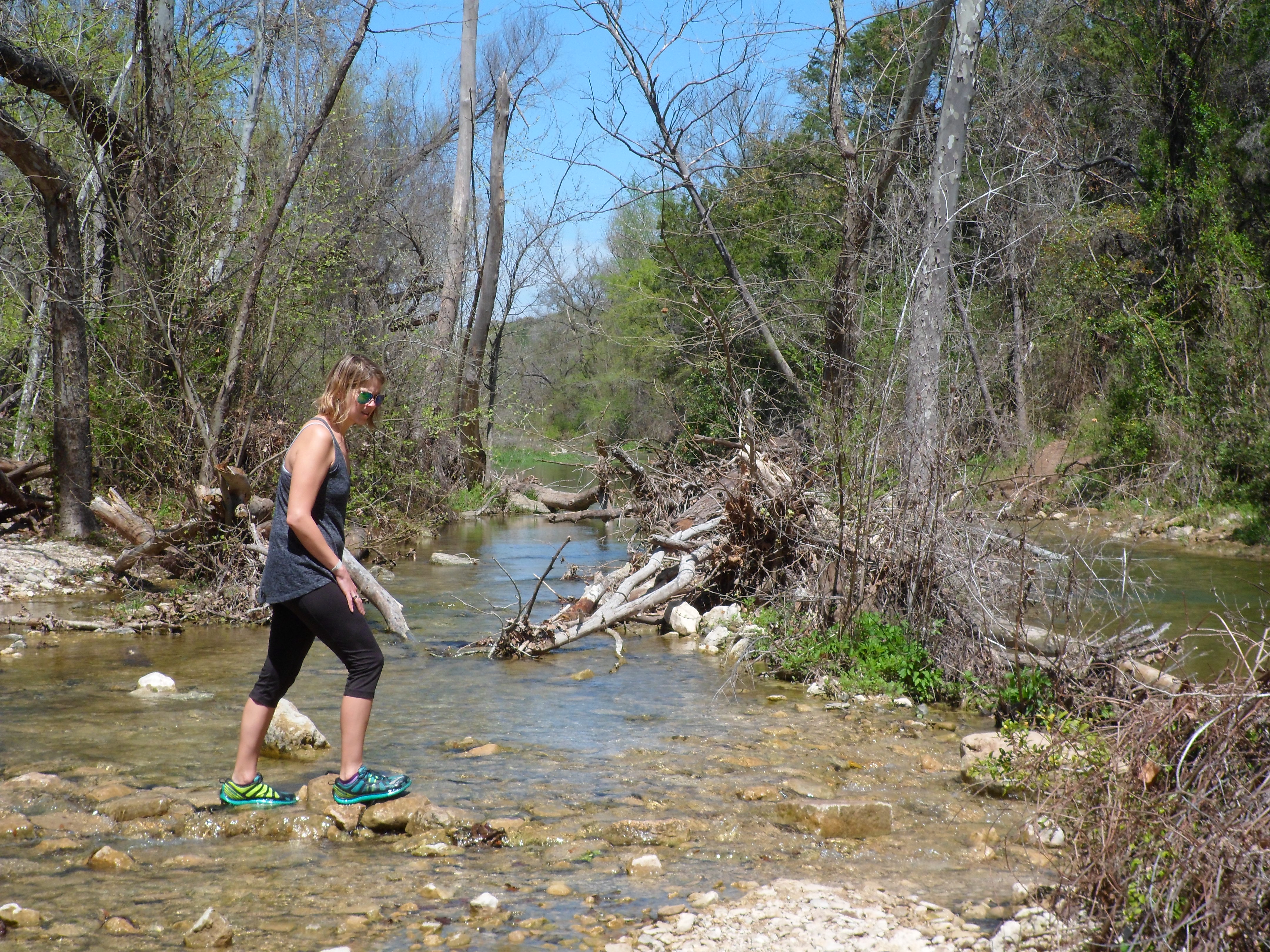
St. Edwards Park 3/25/15
Wednesday, March 25th, 2015
Hike: St. Edwards Park – Austin, TX
Weather: low 80s, sunny, clear
Hikers: Ian, Court, Biff
Length: 3.27 miles
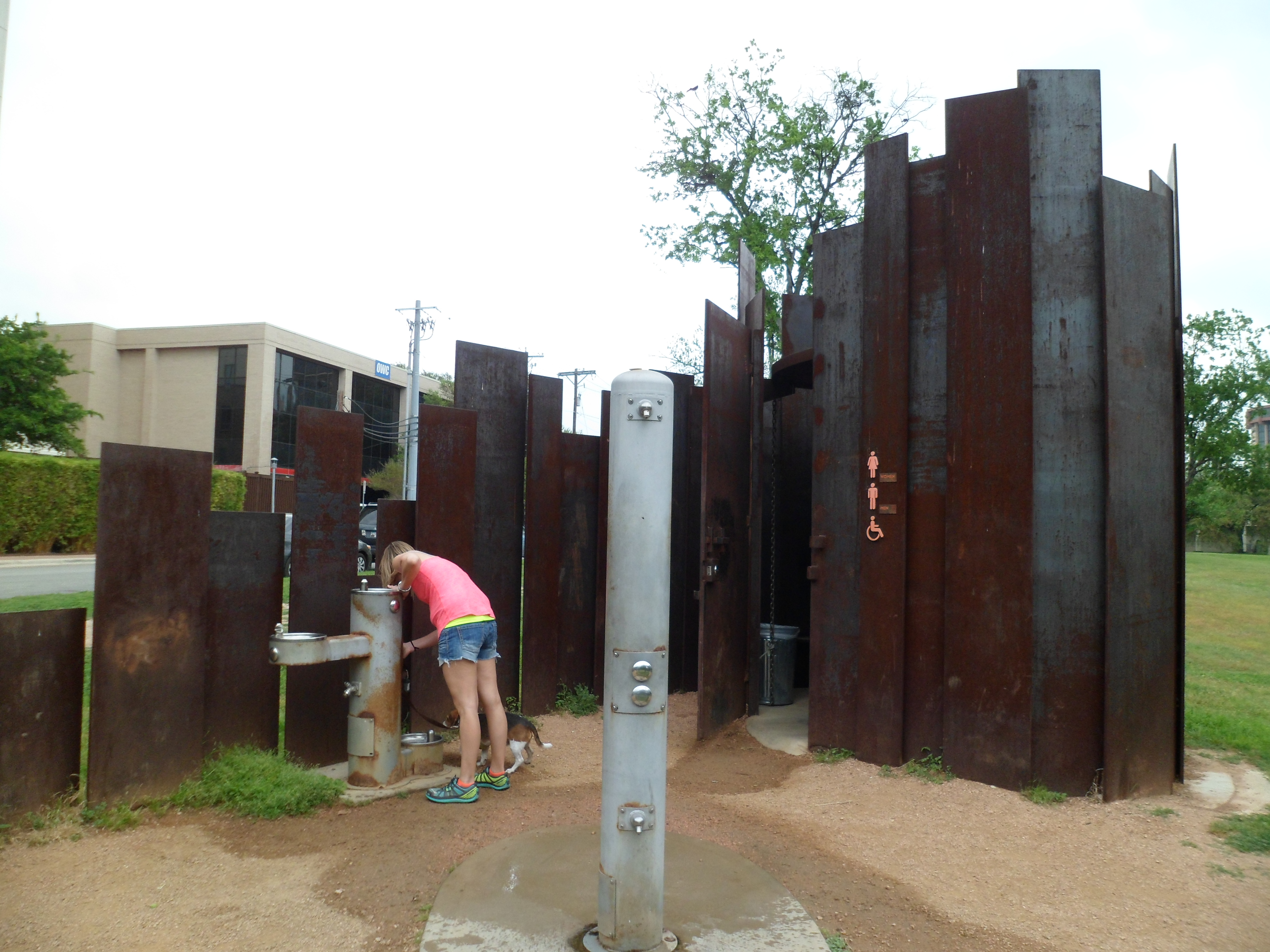
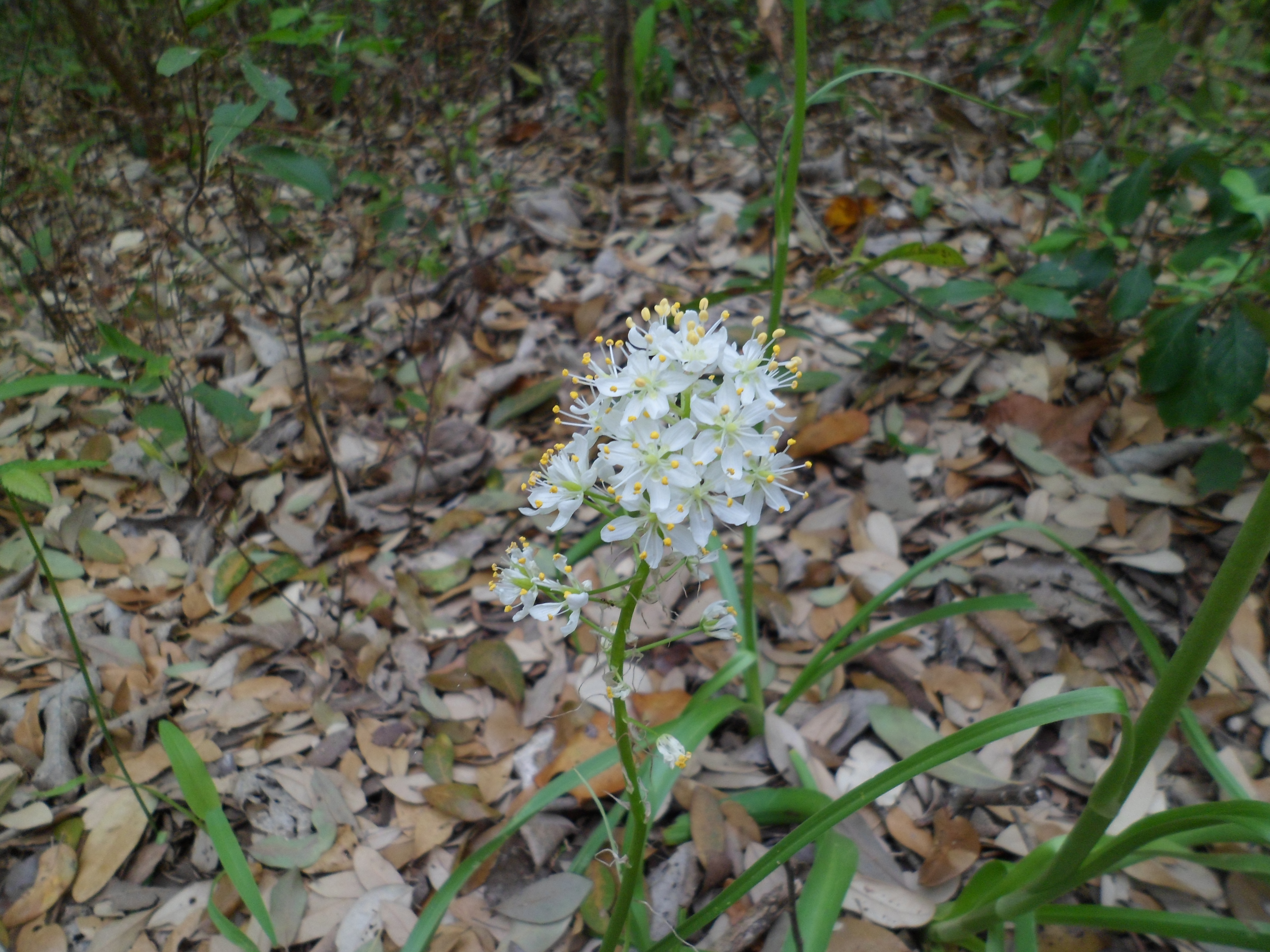
We discovered a great new trail today. St. Edwards Park is located off of 360 on Old Spicewood Springs Road. I knew there was a greenbelt of sorts in this area, but had never been. I am off on Wednesdays for the next few months at least, which could work out well for hiking and avoiding some crowds. We did still see several hikers despite it being the middle of the week, along with some weirdness. Lots of pics on this one. It was such a beautiful trail. Very happy we found it.

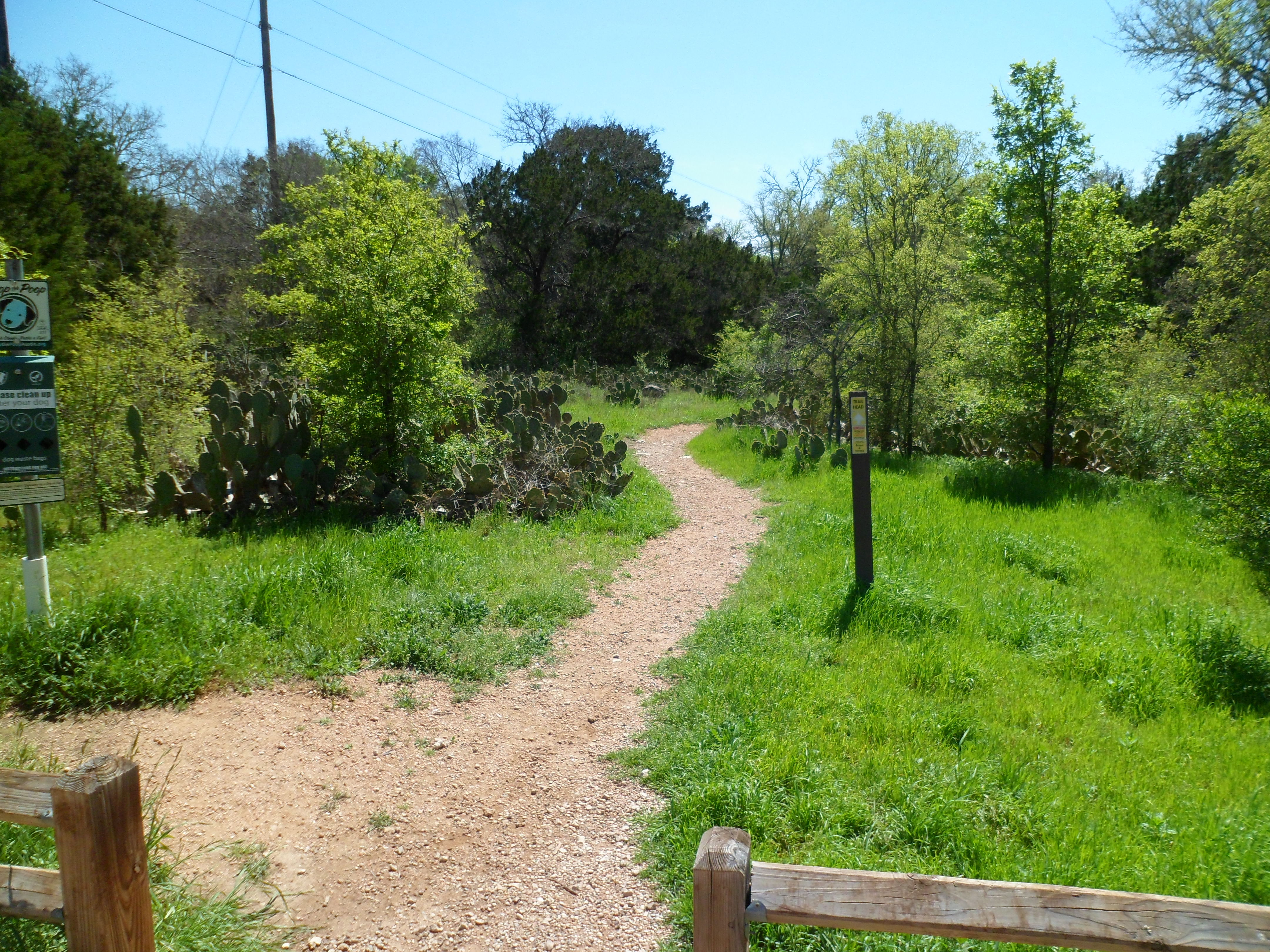

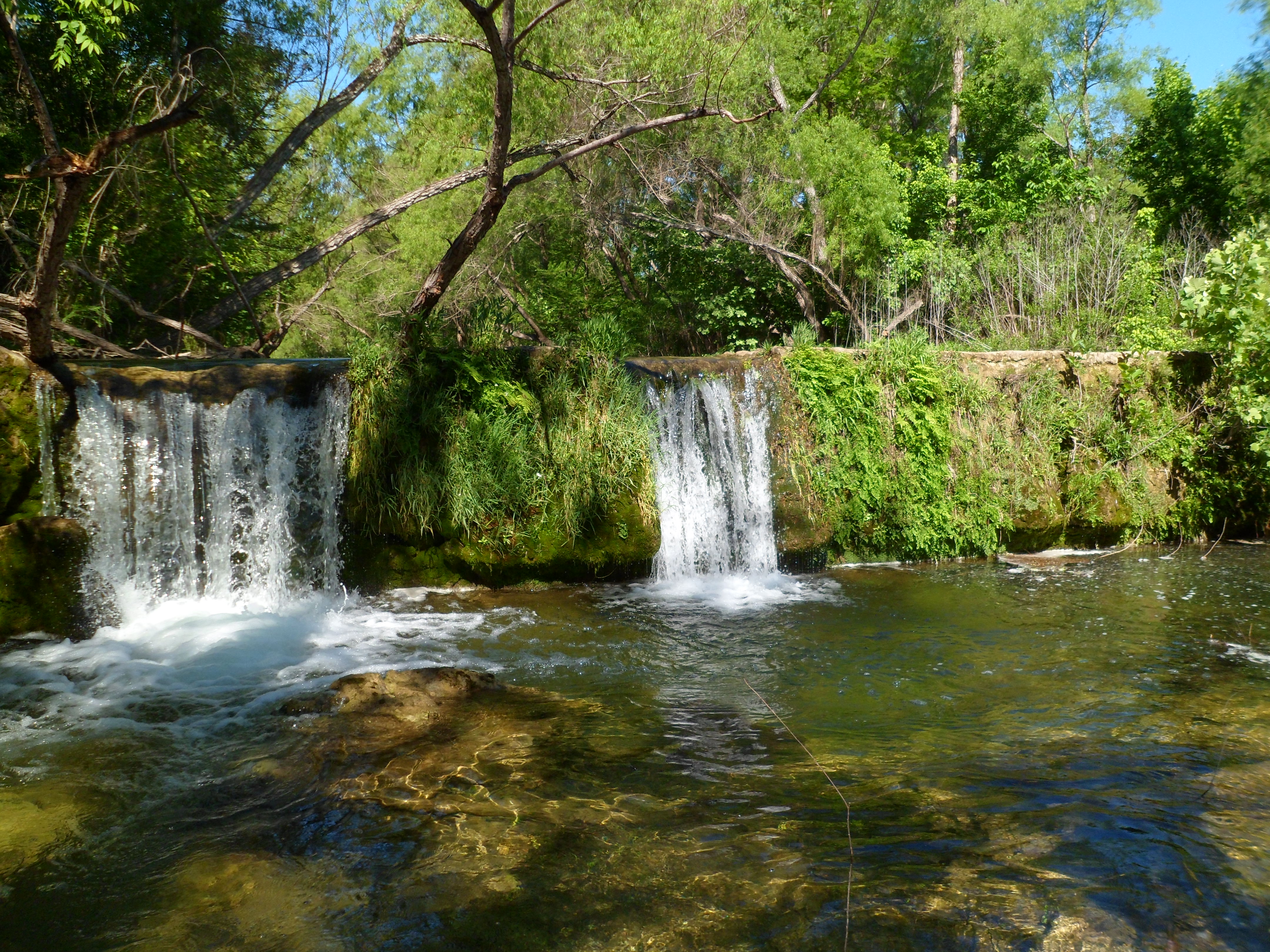
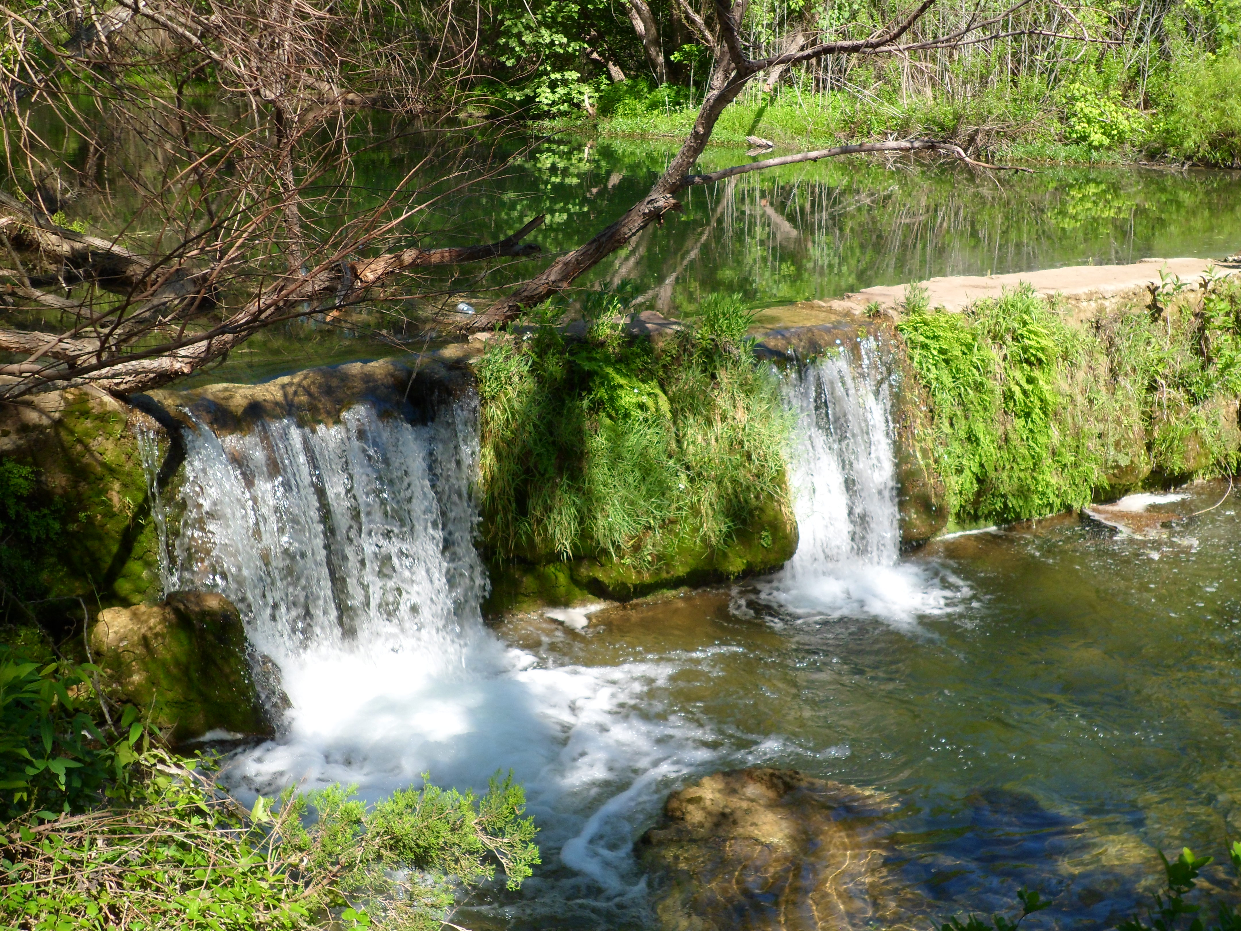
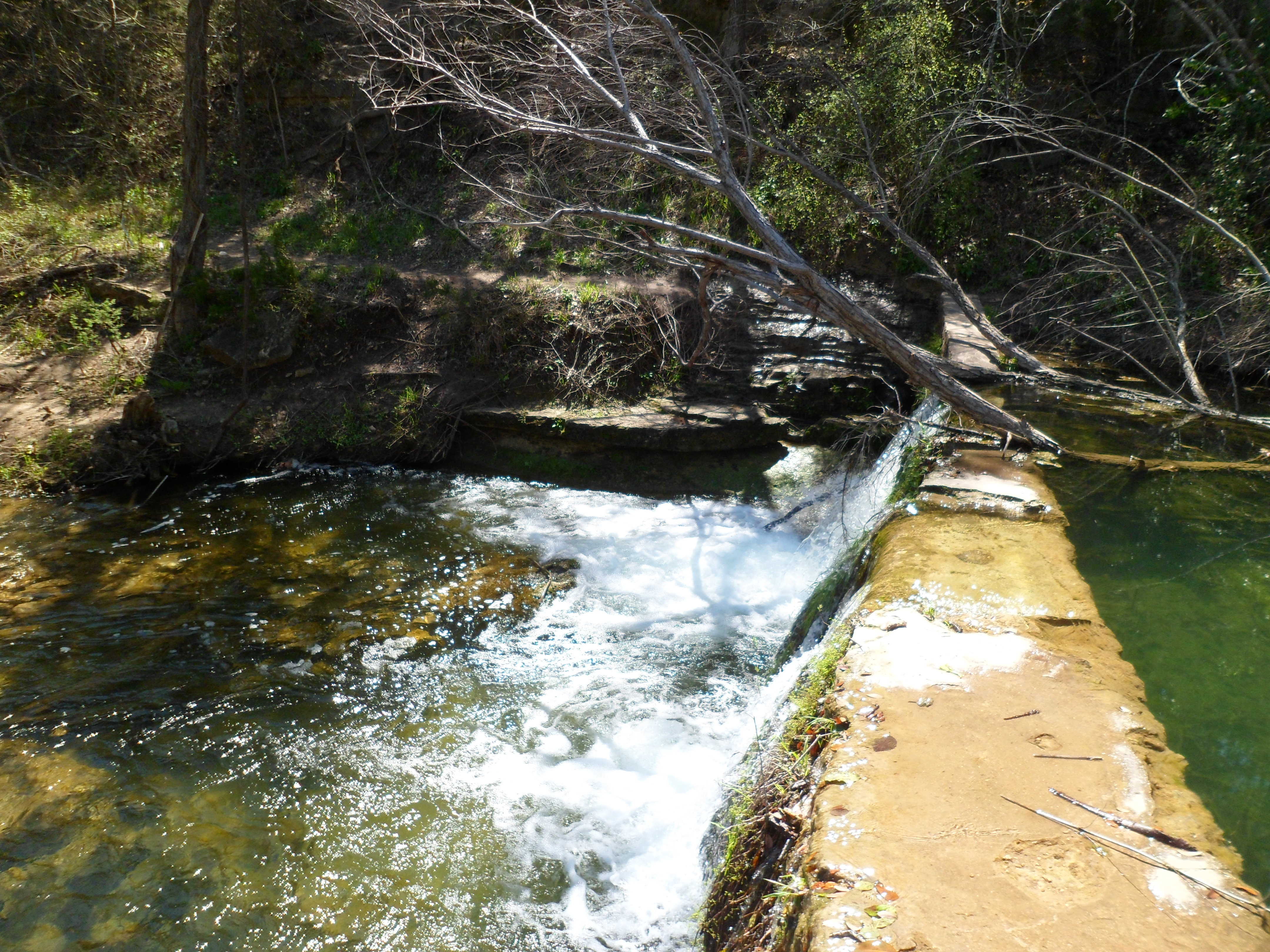
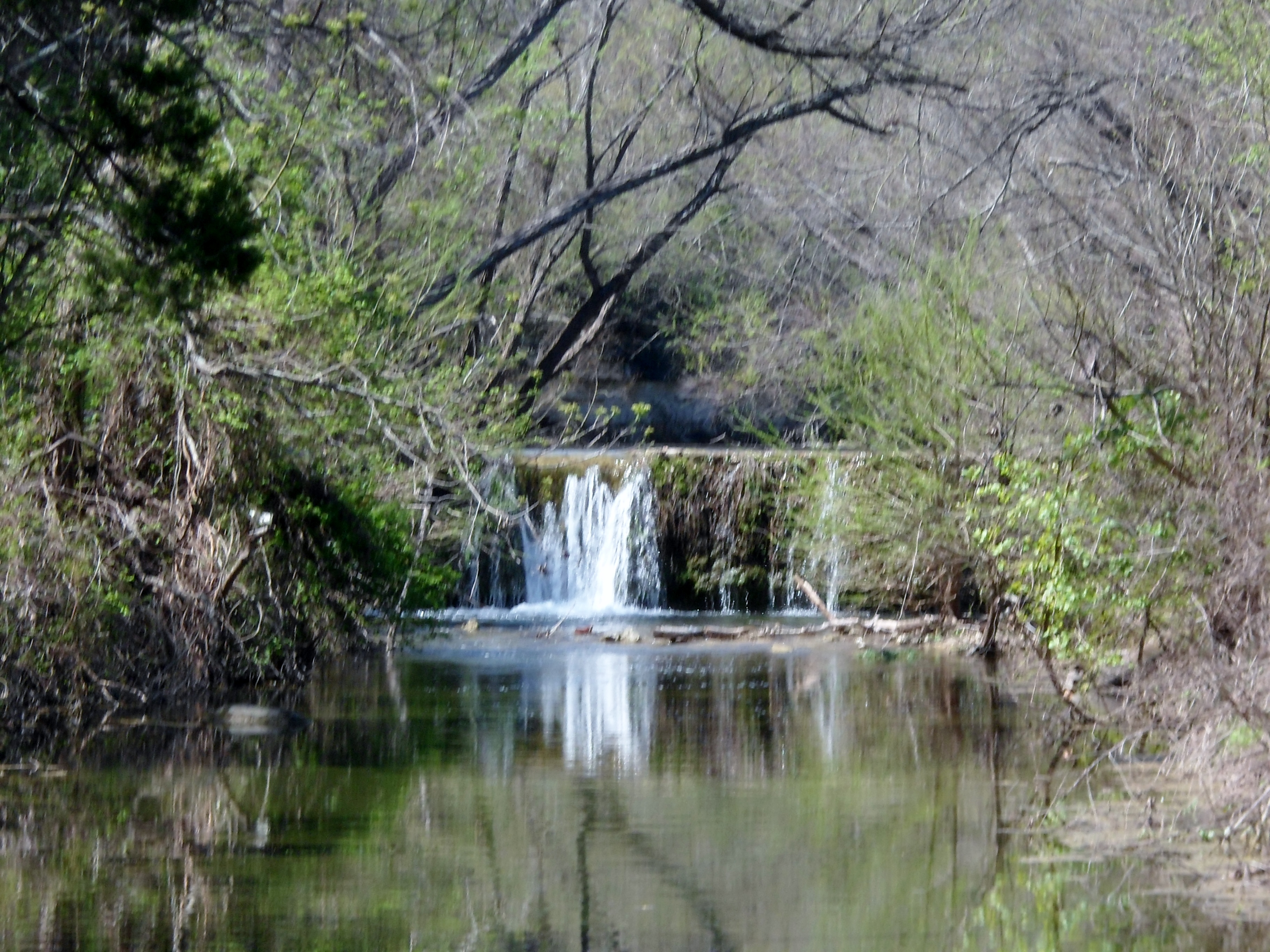
After starting at the trail head we got down to a small dam that was built in the early 70s by a family in the area and created a pretty nice swimming hole if we were properly attired. Maybe next time.

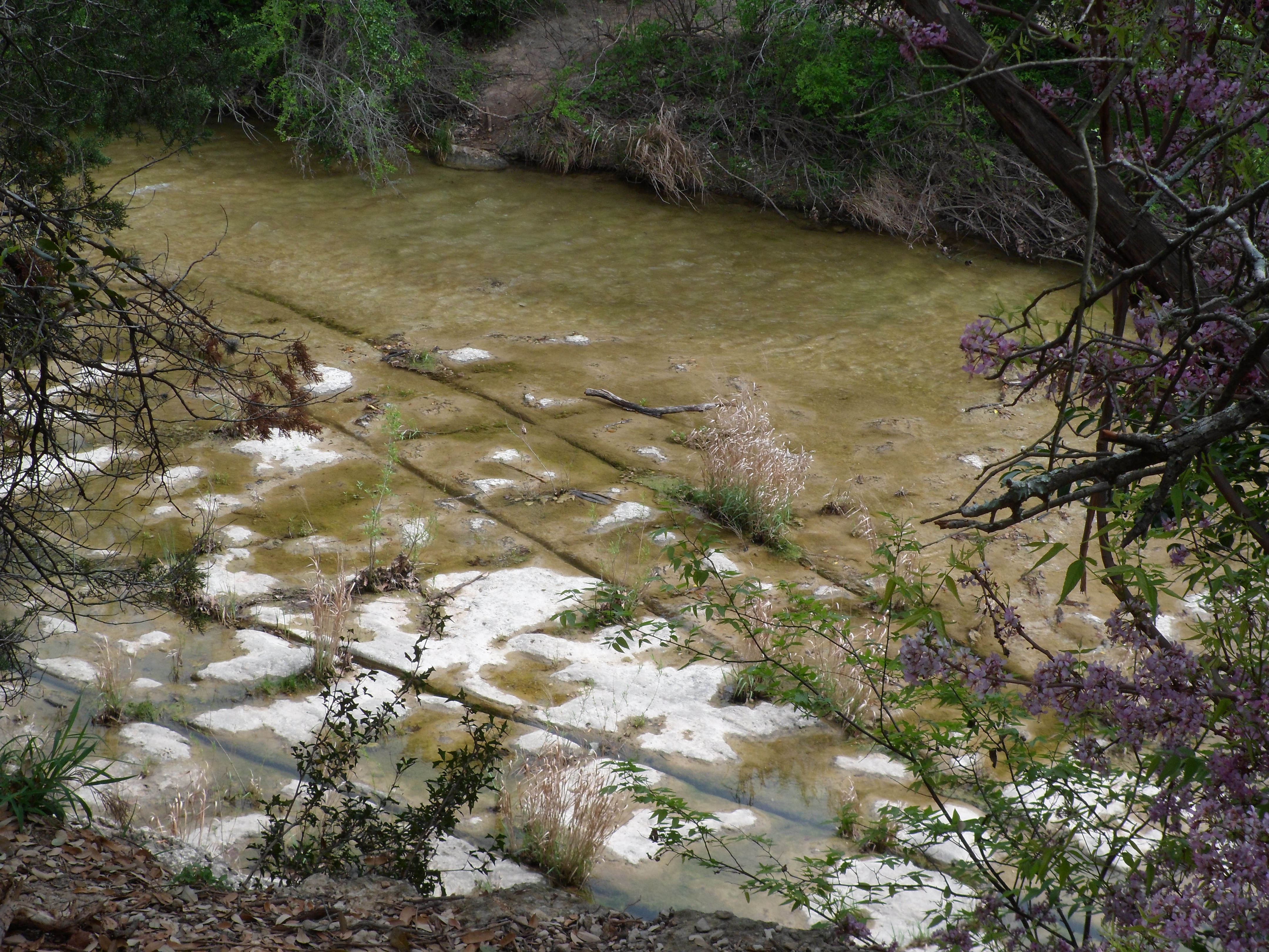
We headed down the trail a little further, crossed the creek (Bull Creek) and headed up the rocky trail, gaining about 300 feet of elevation.


When we got to the top we skirted the edge of the park for a while, which ran along the border of part of the Balcones Canyonlands Preserve.


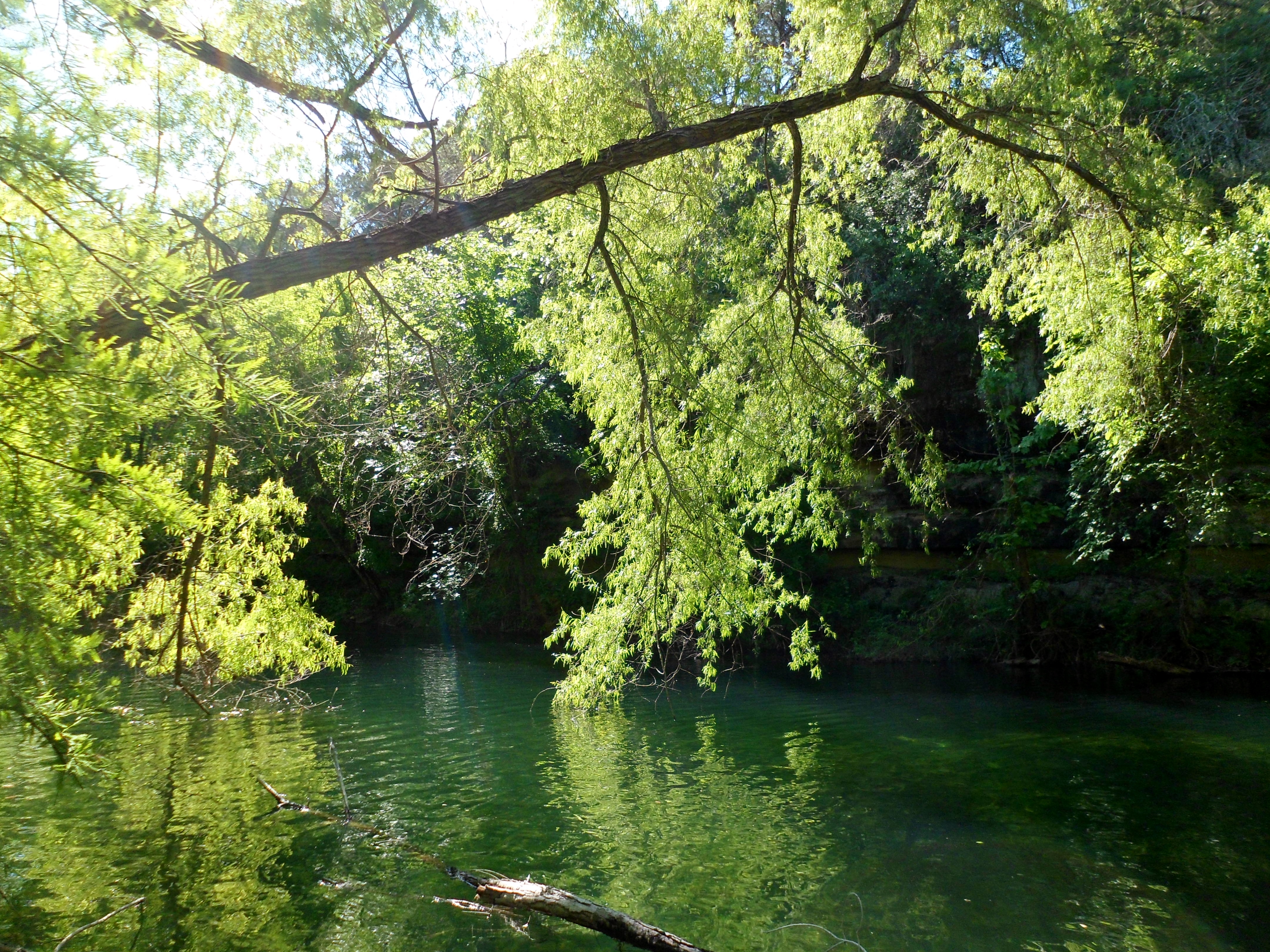
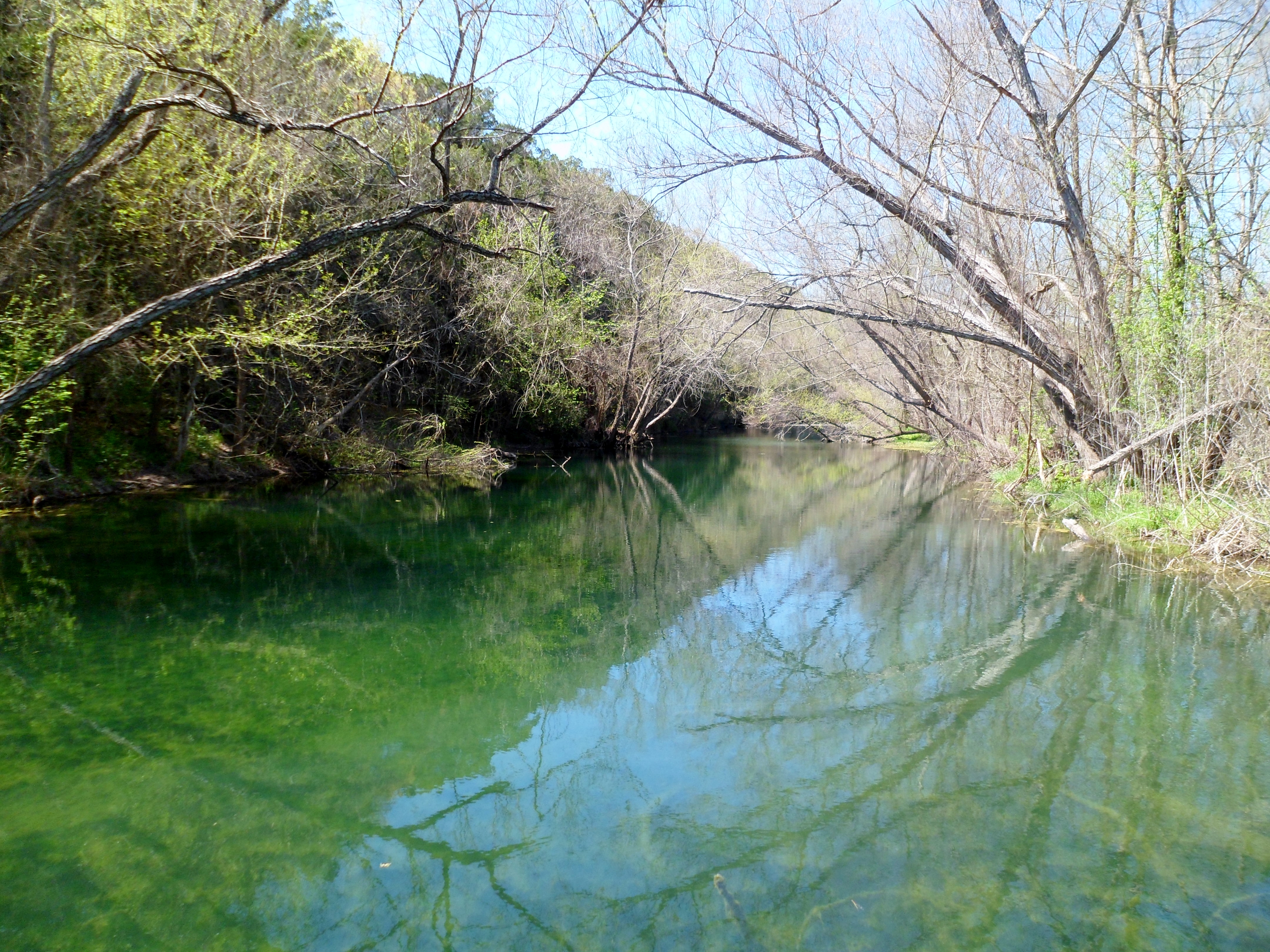
We headed back down to the creek again where we had to actually ford the creek instead of simply rock hopping. Court full on forded in her hiking shoes, but I was able to stay somewhat dry, carrying Biff across too. Her shoes dried out pretty quick afterwards and luckily my Merrells actually lived up to their water proof claims. The water was clear and beautiful.


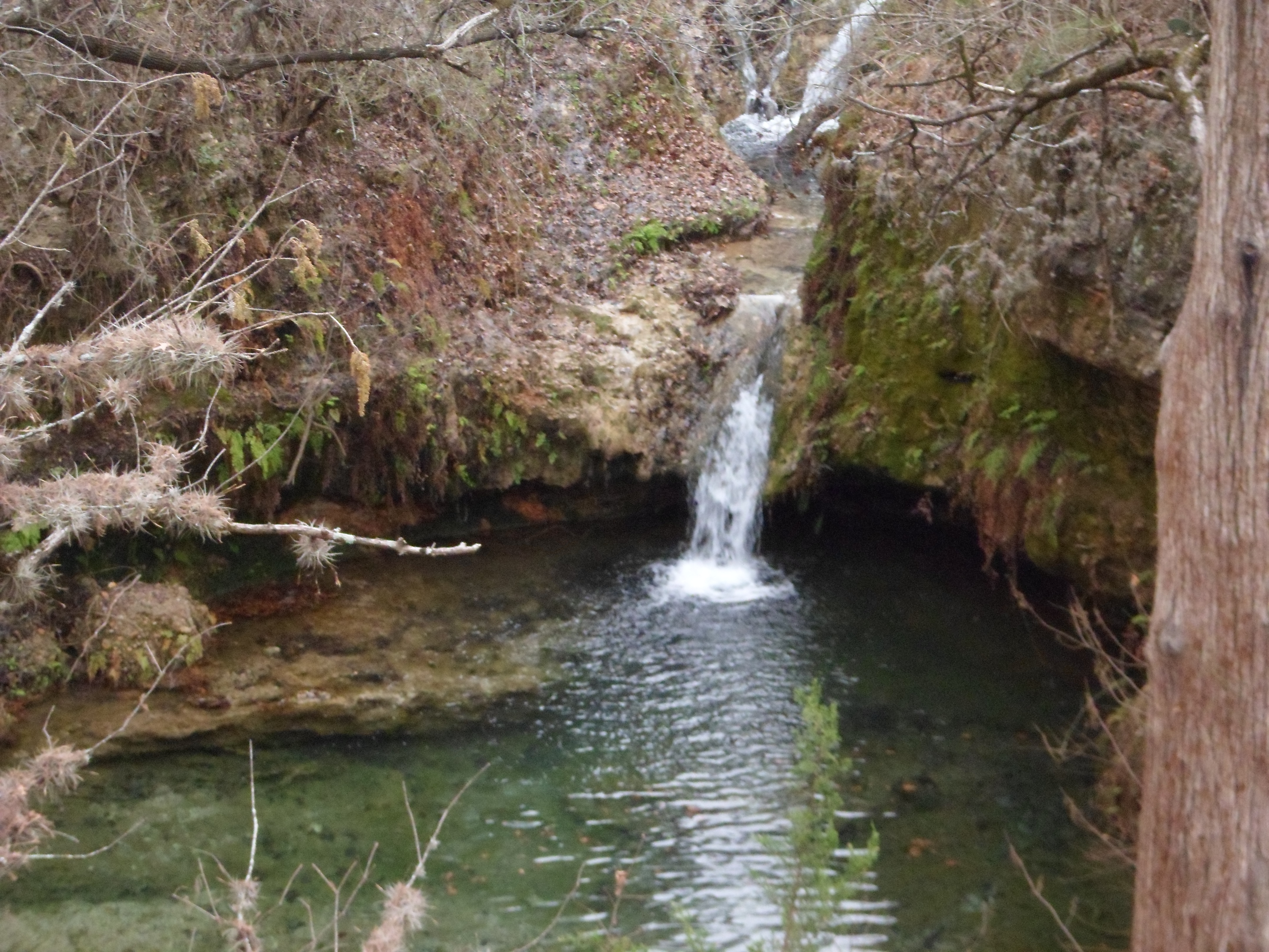
We walked along the creek for a while and then came to a cove on the creek with beautiful waterfall coming down into a clear pool with fish. It was very peaceful and we lingered there for a while before heading on.


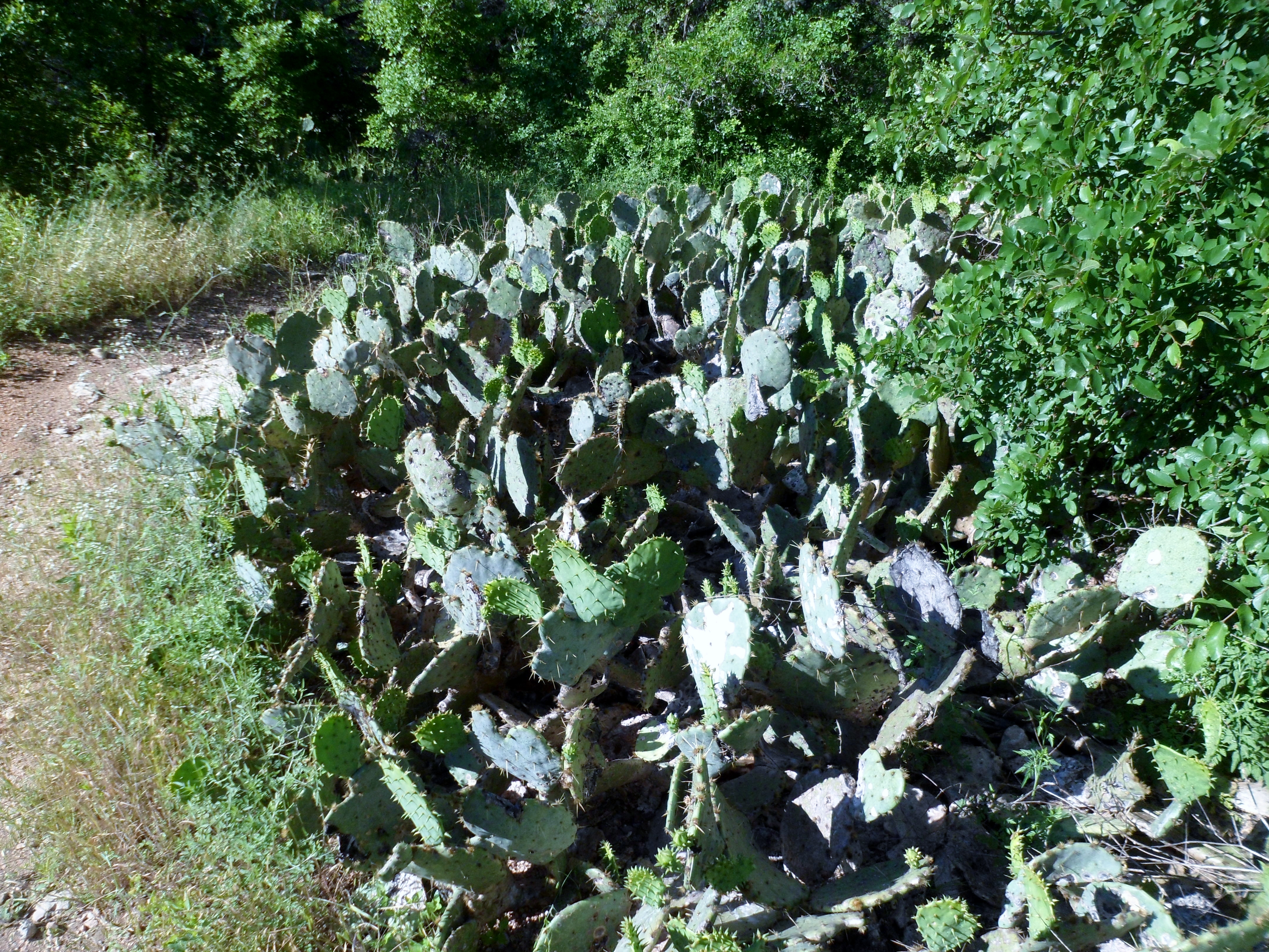
Now the weird part of the hike. We came back up from the creek through an open clearing with a lot of cactus and then headed north back up the creek in the opposite direction. When we came down there were a couple of people swimming and laying out about 50 yards off. We quickly saw that the girl was topless and they definitely saw us, but didn’t seem to care. We went to the end of the trail and turned back to give them time to put on clothes, but that wasn’t the case. Not only that, but when we approached the water we saw another girl with them (top on this time, but a pink thong) and there was a lot of picture taking with their phones of some very intimate situations and locations. Did we just walk onto an amateur porno shoot? Not sure what was exactly going on, but it was…odd, to say the least.


Anyway, we walked back the way we came and explored a couple more side trails before getting back to the trail head. We didn’t really go too far overall and it was a gorgeous day, so we stopped at Central Market on the way back and sat on the deck and had some beets, cheese, beer, and some treats for Biff. Court got a Topo Chico. Great day. Great trail.


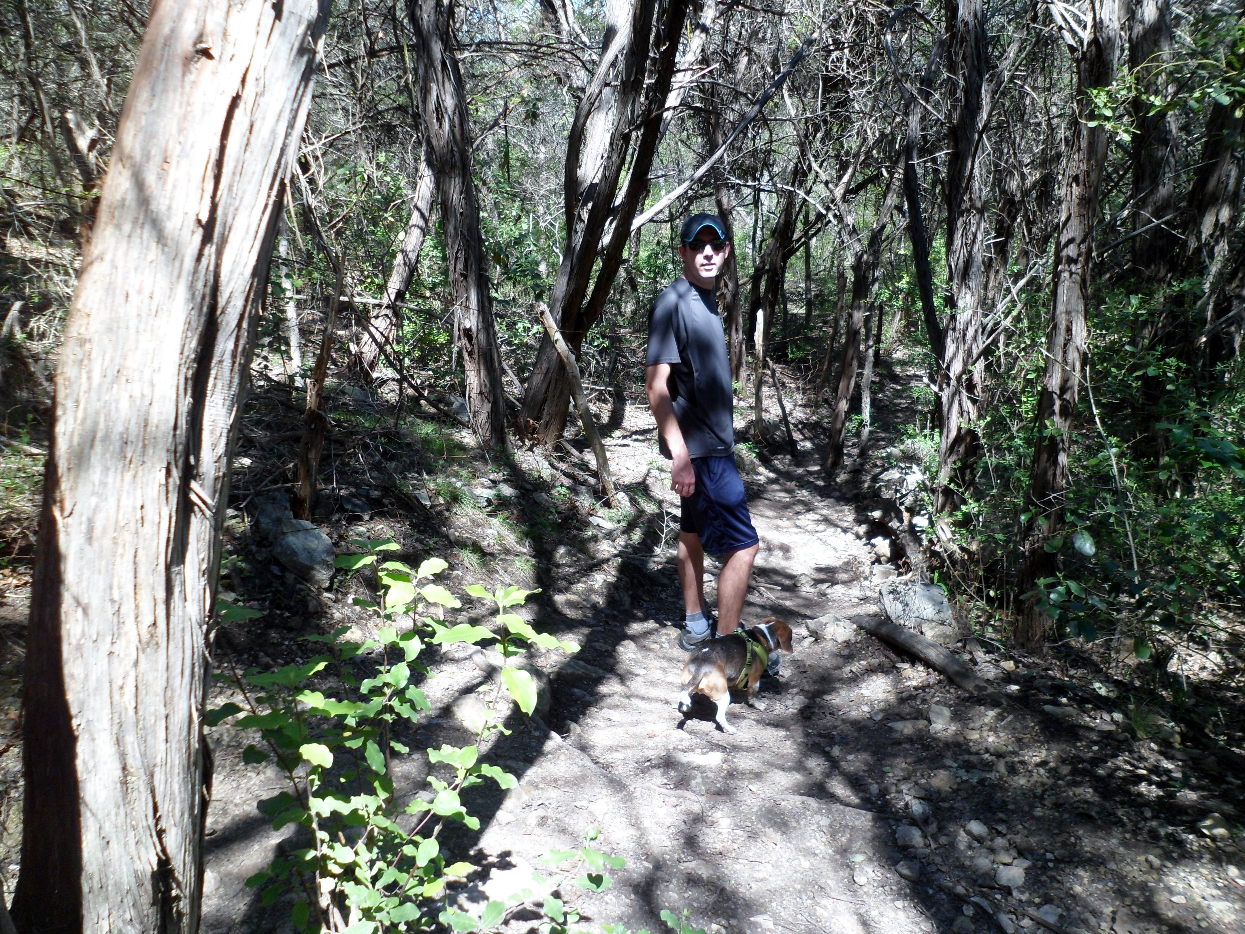
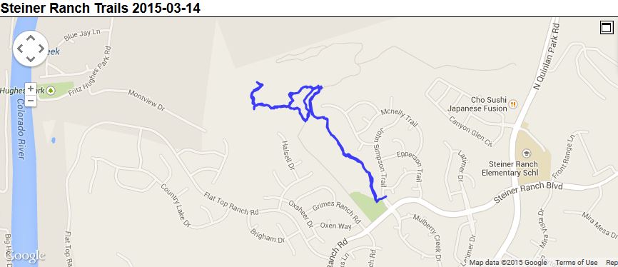
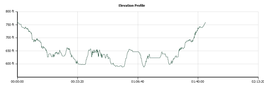
Steiner Ranch Trail System 3/14/15
Saturday, March 14th, 2015
Hike: Steiner Ranch Trails
Weather: sunny, clear, upper 70s
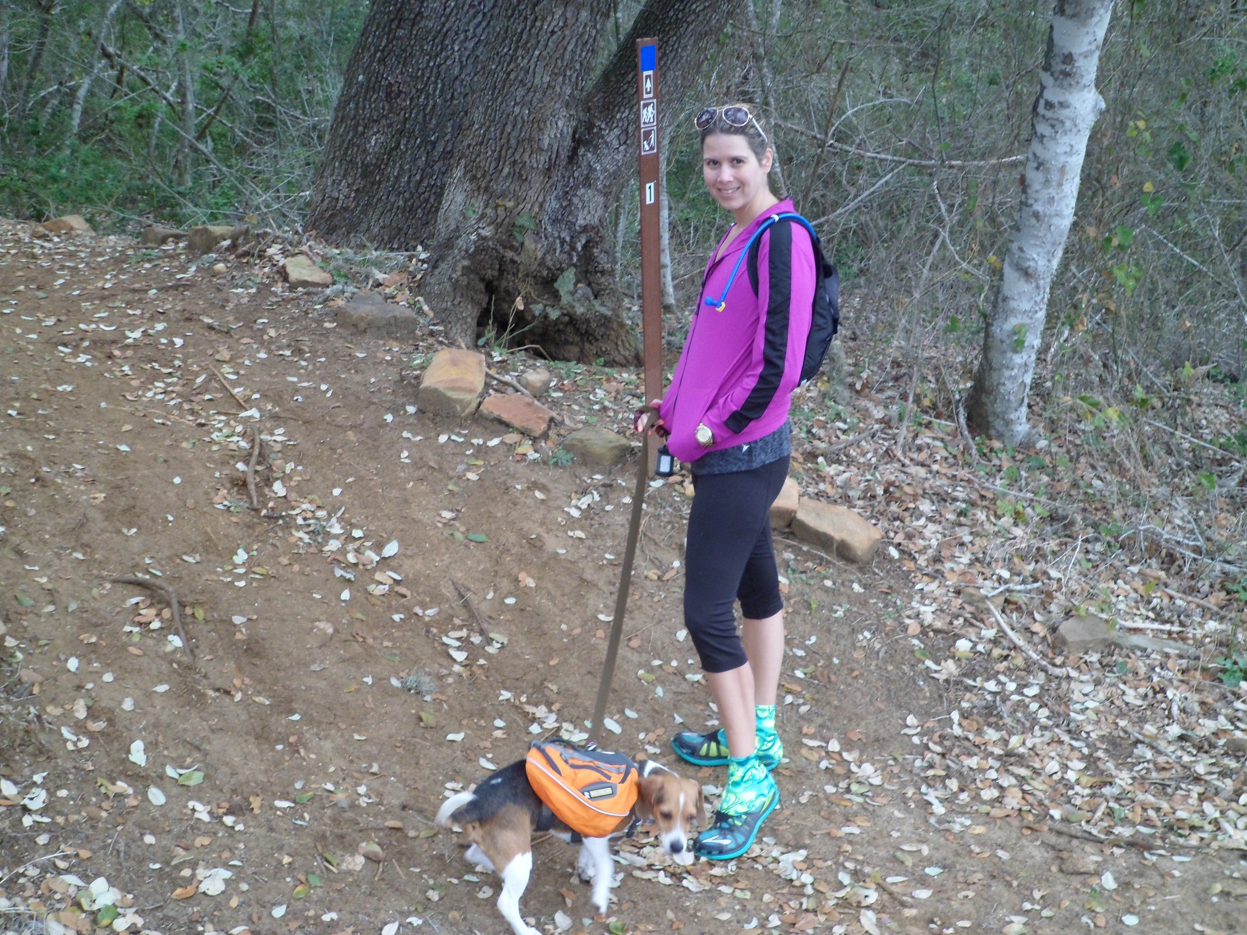
Hikers: Ian, Court, Biff
Length: 2.69 miles
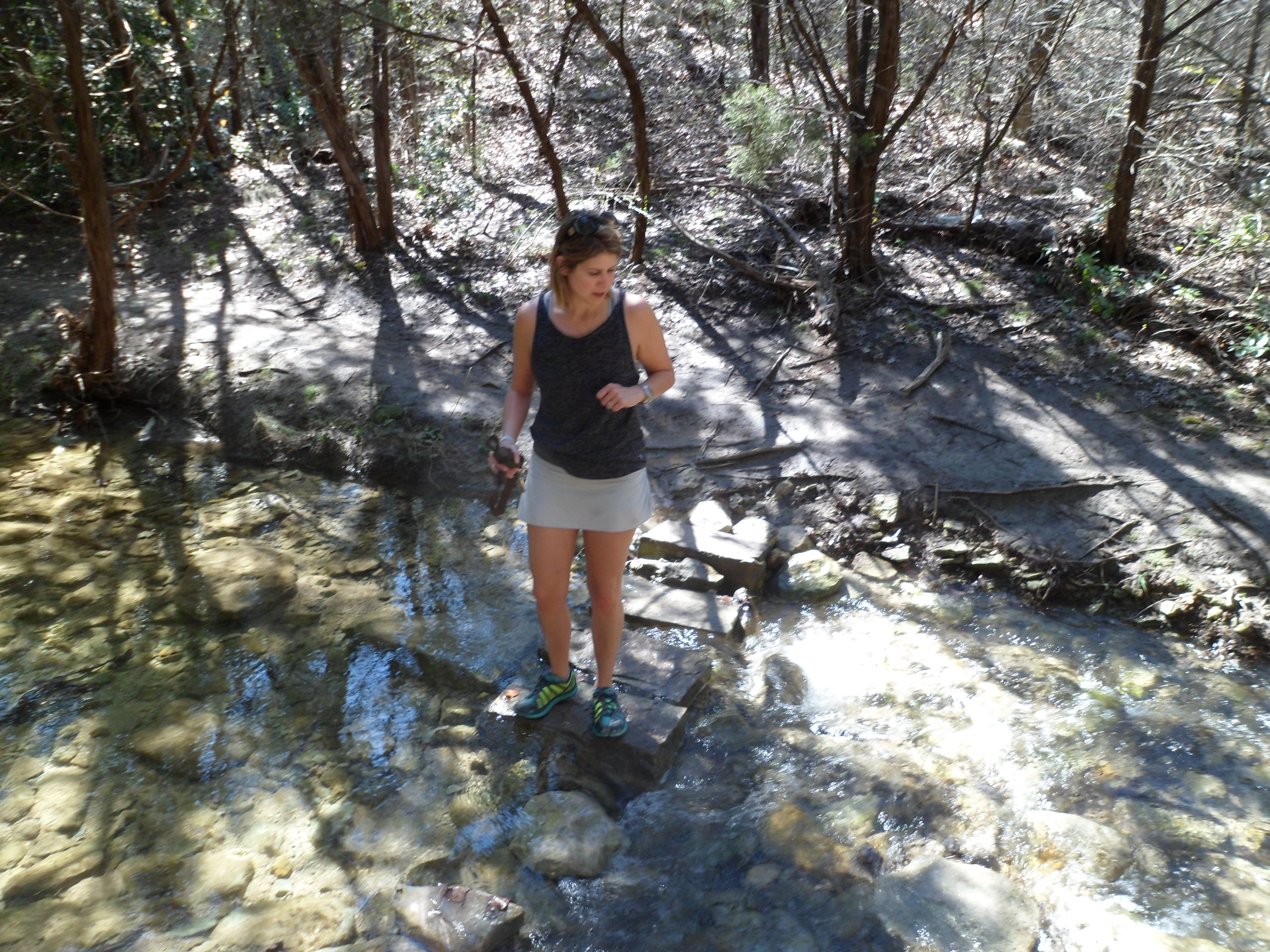
We headed out to the Austin suburb of Steiner Ranch for a hike on the trail system that we have done multiple times before, back when Courtney’s parents had a house out there. The trail system is not very well marked and it is easy to get lost, as we have before, and as our track below shows. We had a basic pdf map on my phone, but that wasn’t super accurate either. Luckily it is not a very large trail system so there is no real danger of getting really really lost.


The water was running really well and it was very pretty. Biff had a blast. Without other dogs around for him to chase after, he is a very pleasant hiking companion and stays pretty much right by us, even when off leash.


Despite not being very long, this hike was somewhat strenuous as we basically were going up and down through the ravine the whole time. The water was flowing well and was very clear. We had to turn around a few times and try to figure out the proper directions and the phone GPS came in handy.
Spring has finally officially hit Austin as the weather was perfect, hitting a high of 78 on the hike. It’s a fun, close hike and one that Biff can do pretty easily as well, so I’m sure we will come back in the future and try and get lost some more.


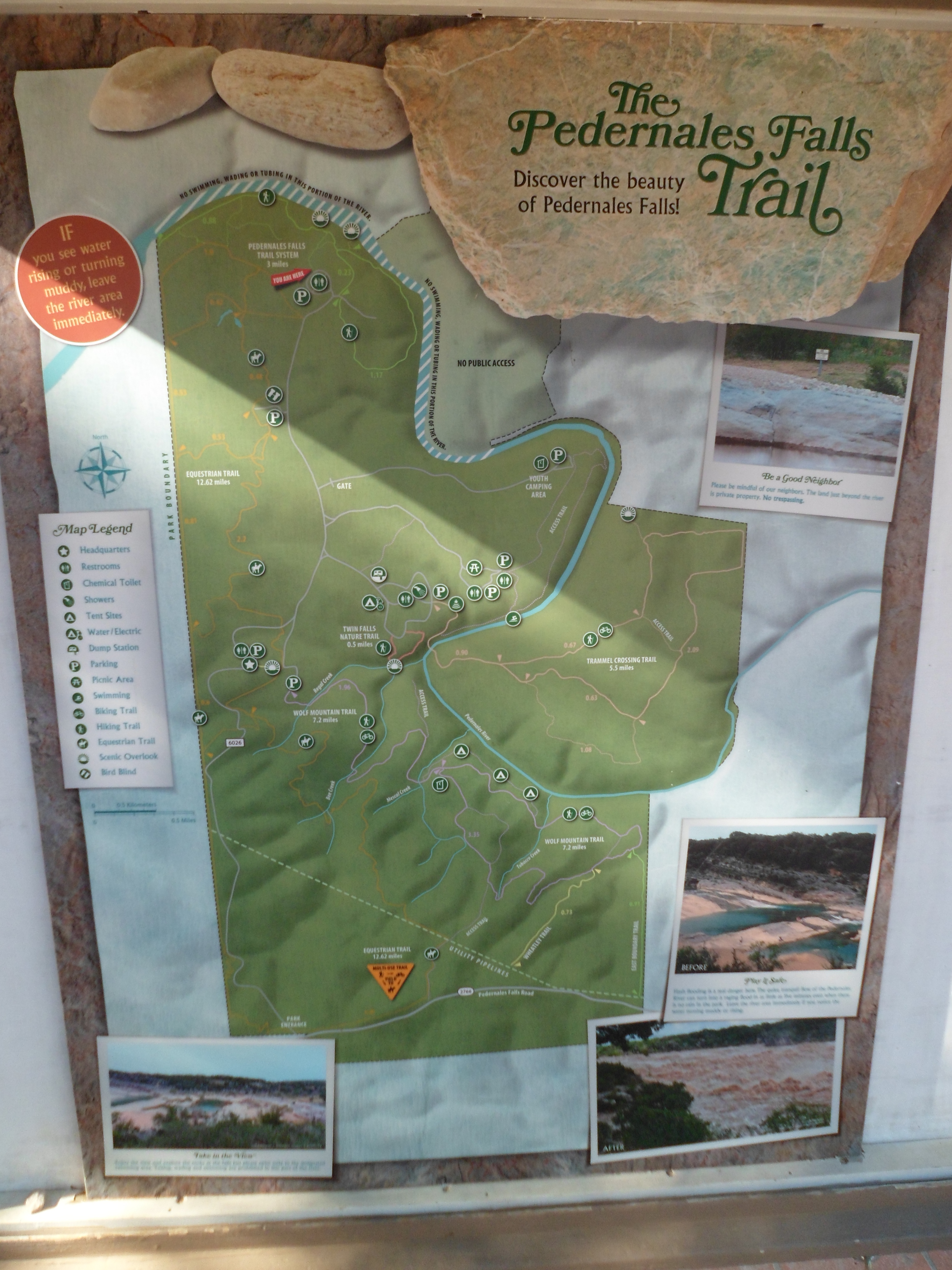
Pedernales Falls State Park Overnight 3/6/15-3/7/15
Friday and Saturday, March 6th and 7th, 2015
Hike: parts of two trails – Pedernales Falls Trail and Twin Falls trail
Weather: overcast and cold, highs in 50s, low of 34
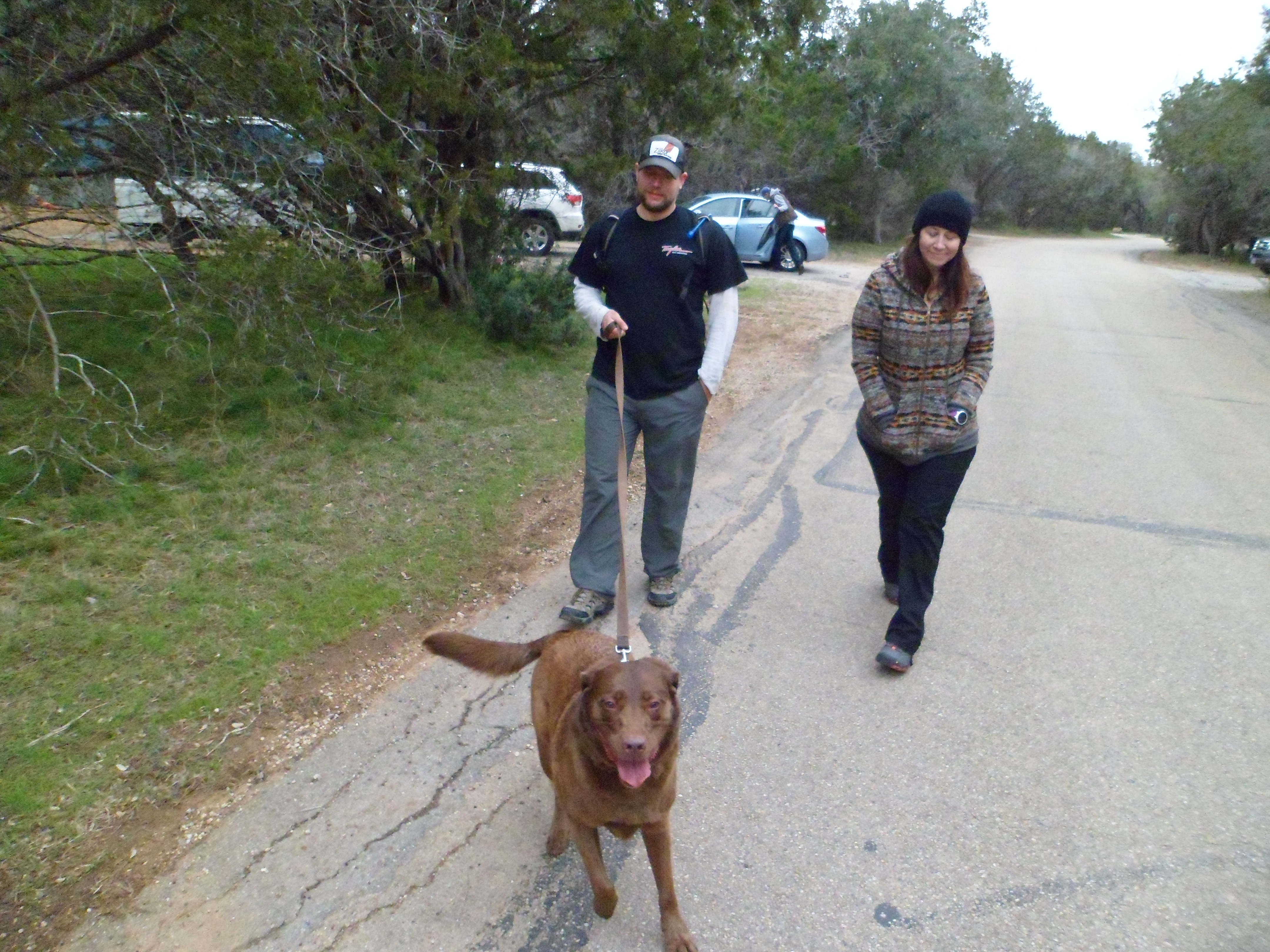
Hikers: Ian, Court, Biff, Greg, Cat, Sam
Length: around 2 miles each hike
The weather in February and March has sucked so far this year, but we stuck it out and went for an overnight anyway. The rain held off, but the cold did not. I bought a little thermometer recommended by Stick, of Stick’s Blog fame, that records the high and low temps for a 24 hour period. It got down to 34 overnight and was low 50s for a high.

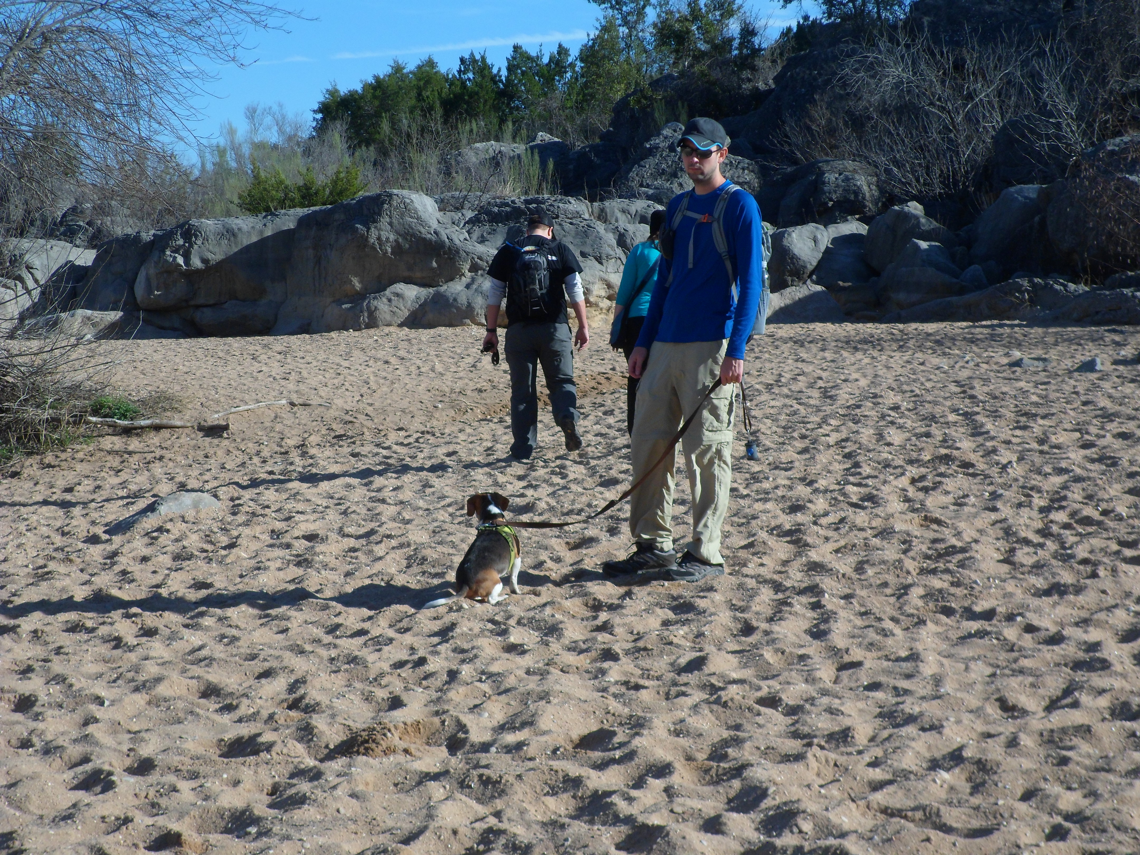
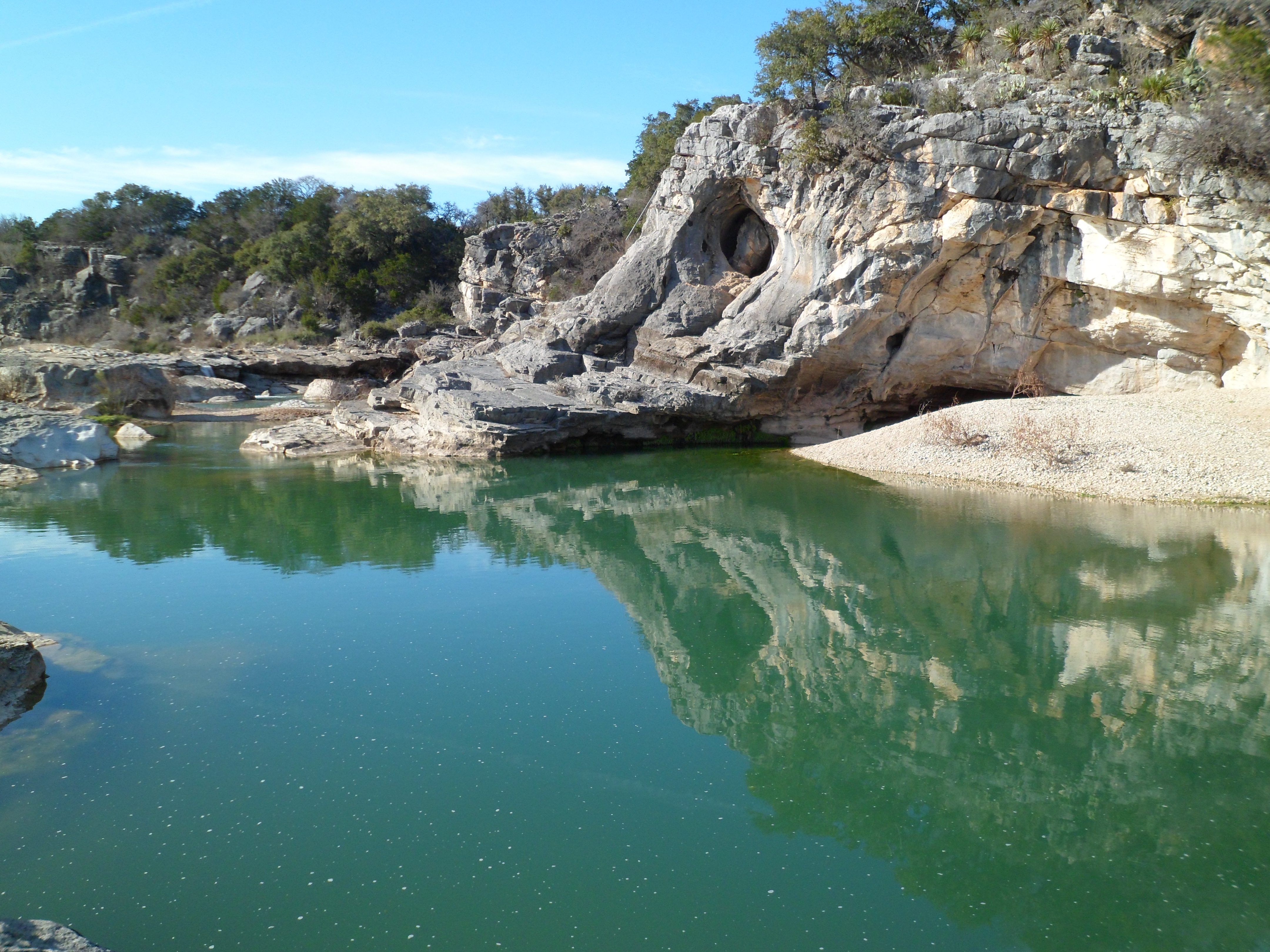
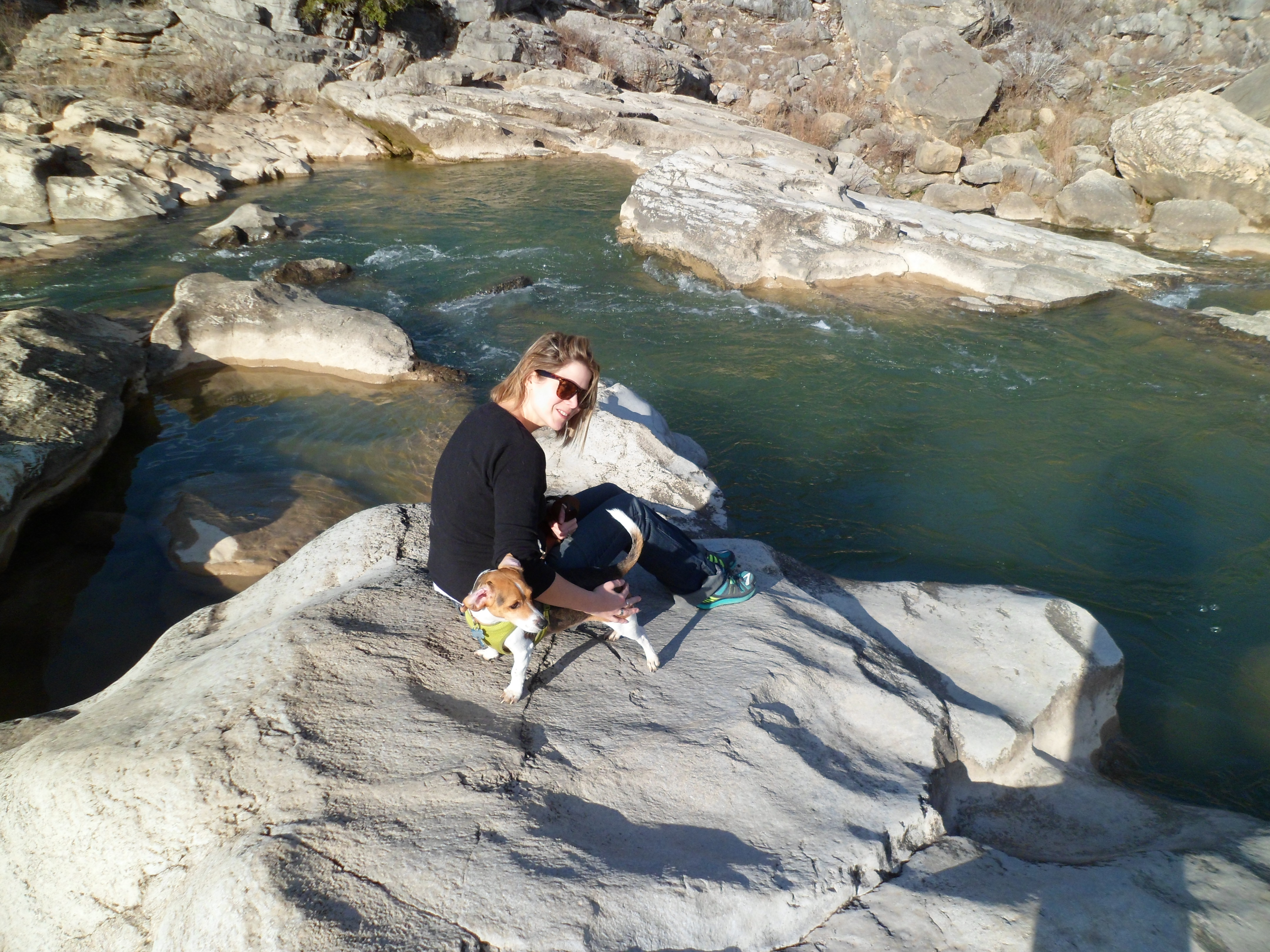
Got out to the park, about an hour southwest of Austin, around 3pm and set up camp. Once we had all the tents up we drove over to the Pedernales Falls trail and walked down to the water and blazed our own trail as best we could. Biff was pretty much a terror. He wanted to run with Sam, but with his back injury, he has to stay on leash and I had to carry him a lot of the way. Basically he was screaming bloody murder and trying to get back to Sam the entire time. It was exhausting. But the falls were beautiful.


We got back around dark and started building the fire as the temperature was dropping fast. It took a while to get going, but it was blazing after a while and kept us all really warm. The dogs were not super happy. We made a couple of pocket stews that Court had prepared and then made s’mores. We crashed out around 11 and stayed relatively warm most of the night. We are still using the Coleman sleeping bags from when I was a kid, but they are still warm.


When the sun woke up, so did we. I made coffee using Jiva coffee cubes that are perfect for backpacking. They make some pretty damn good coffee and are easy and very light. Good work Jiva.
We had a wedding shower to get to back in Austin so we were a bit short on time for hiking in the morning and decided to do the Twin Falls trail, which is just about half a mile. However, we took a wrong turn at Albuquerque and ended up going about 2 miles through the woods and ended up at the park road and had to follow it back to camp. Biff was still a crazy pup and screaming whenever I had to carry him. All was good though and we packed up and checked out the bird blinds on the way out of the park, which were recommended by a couple of the park rangers.


We are going to go back some time this summer and hopefully get two nights in and do the longer trails. Pedernales Falls is definitely one of the better state parks in Texas. Glad to have it so close to home. Map is coming. My phone died so Greg is supposed to provide the GPS track off his fancy pants watch. See below. Thanks Greg!


Buescher State Park – Pine Gulch Loop 1/29/15
Thursday, January 29, 2015
Hike: Buescher State Park – Pine Gulch Loop, near Smithville, TX
Weather: partly cloudy, low-mid 70s, nice
Hikers: Ian, Court, Biff
Length: 7.48 miles
This was my second time on this loop and Courtney’s first. Biff also came along today, as there isn’t too much elevation change on this hike, so his back can handle it. He wore his backpack for a little while, but he is much better off leash, so when we saw how empty the trail was, he got to go on his own. We also did the loop in the opposite direction of last time (counter-clockwise today) for a different view of things.
It was a little chilly to start off, but quickly warmed and the first half of the trail flew by. There was quite a bit more water on the trail than when I was here in November. We didn’t see any wildlife though, which I attribute to getting out a little later than last time (a little after 10am today).


Biff did really well, but Court and I were feeling it a bit on the second half of the hike. Some days are just hard hiking days, regardless of how hard the trail actually is. This was our third hike in 12 days, which I’m sure had something to do with it. Luckily we had packed quite a bit of food for the hike so we could rest and refuel.


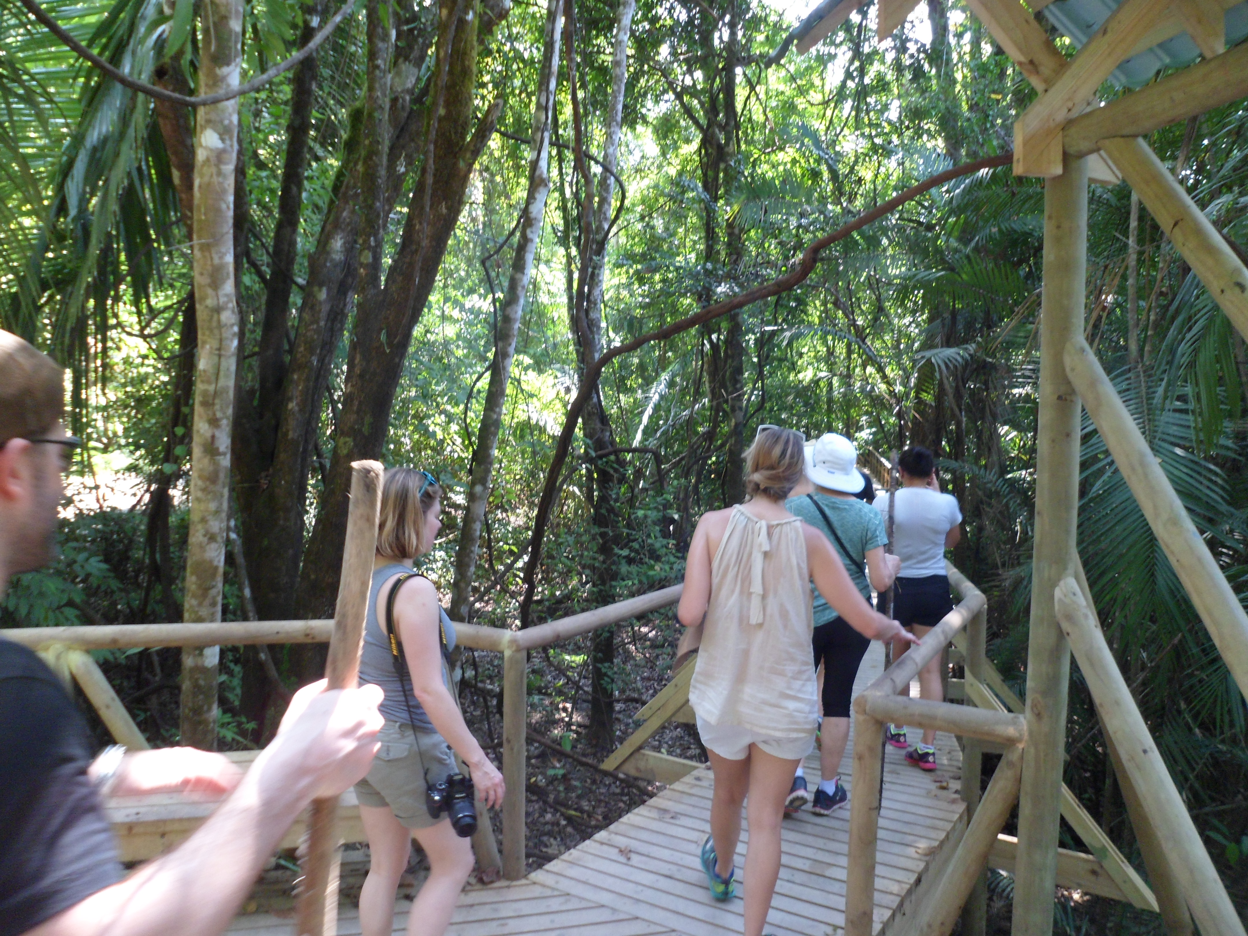
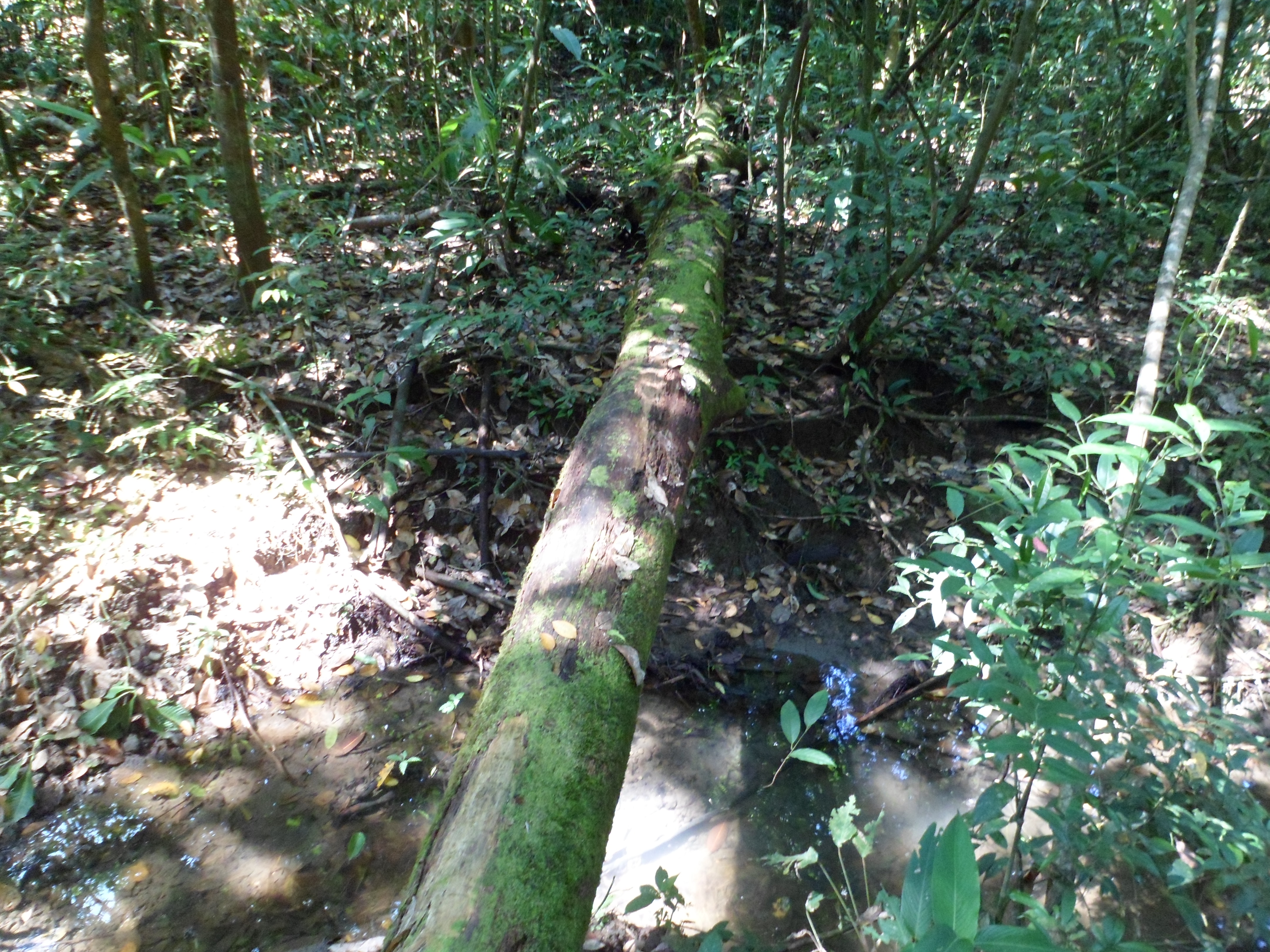
Manuel Antonio National Park – Costa Rica 1/24/15
Saturday, January 24th, 2015
Hike: Manuel Antonio National Park – Manuel Antonio, Costa Rica
Weather: HUMID, warm, upper 80s-lower 90s
Hikers: Ian, Court, and most of the wedding party
Length: about 7.5 miles total
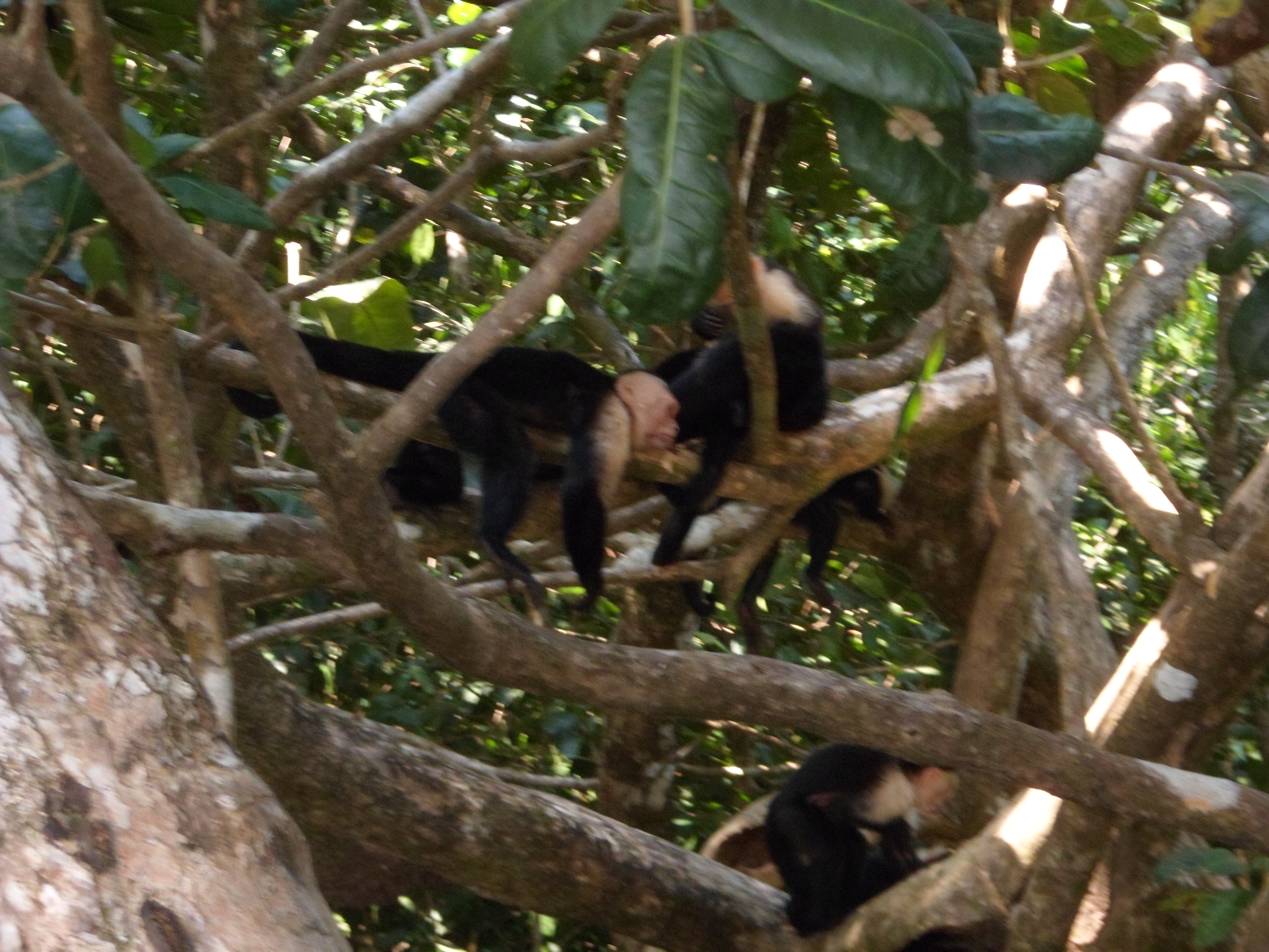
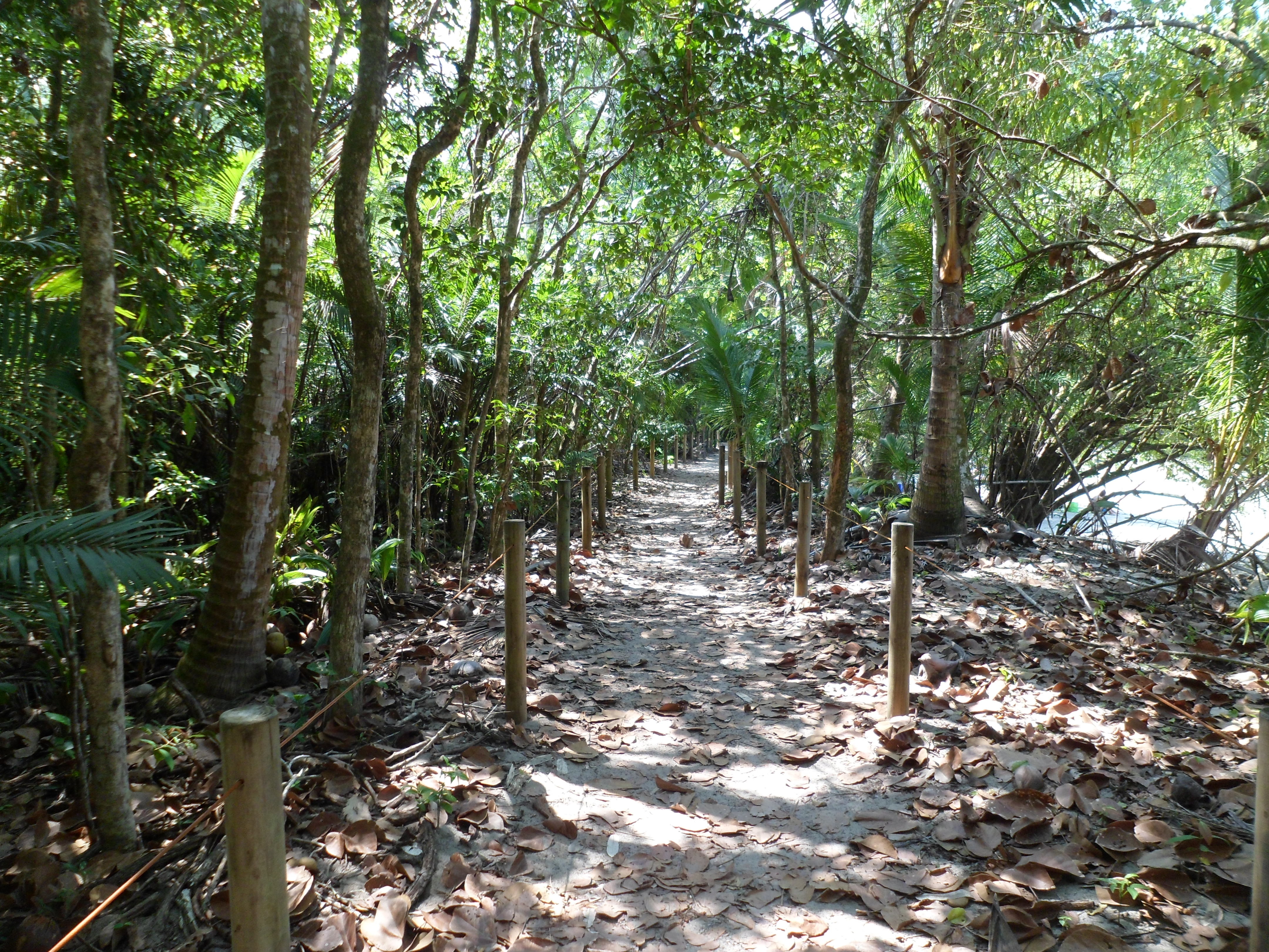
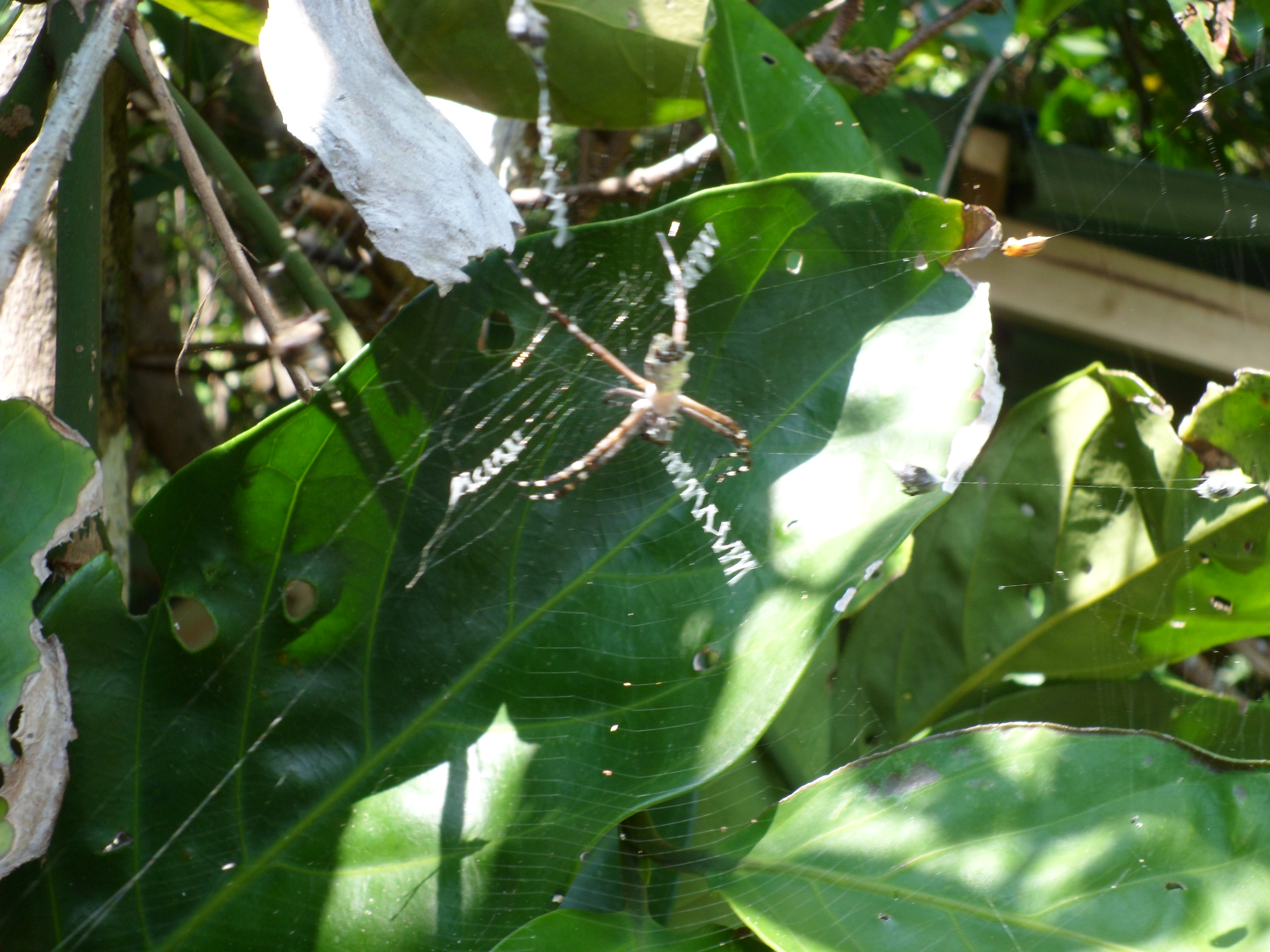
Our first international hike! Courtney and I got married in Costa Rica and the morning of the wedding we went with most of the wedding party down the beach to Manuel Antonio National Park for a self-guided hike of the trails. The hike was fantastic and filled with plenty of unique plants and animals, most of which aren’t usually found in the US. Capuchin monkeys, Agoutis, Raccoons (which actually go by another name I can’t remember), Iguanas, and multiple bird species surrounded us. It was pretty amazing.


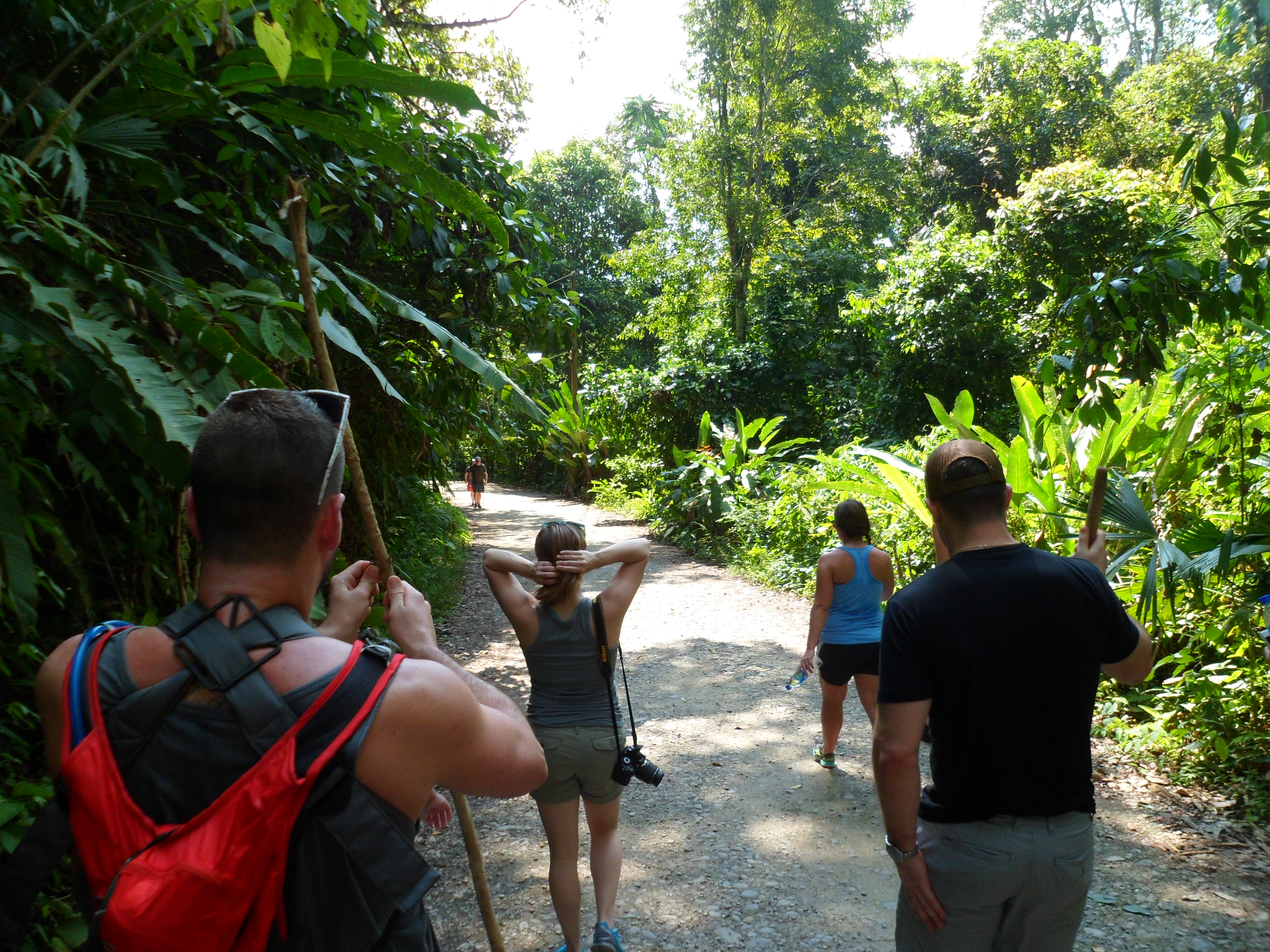
We took the main trail from the park entrance and then on to the Cathedral Point trail which looped up a peninsula that used to be an island, but has now been reconnected to the mainland by about a 20 yard wide stretch of land. On this strip are a family of raccoons that love to steal food from unwary beach goers. I heard stories of them being in cahoots with the Capuchins as well. After a couple of days in Costa Rica, I remembered what I learned in Sri Lanka: monkeys are cute at first, but their shenanigans get old really fast.

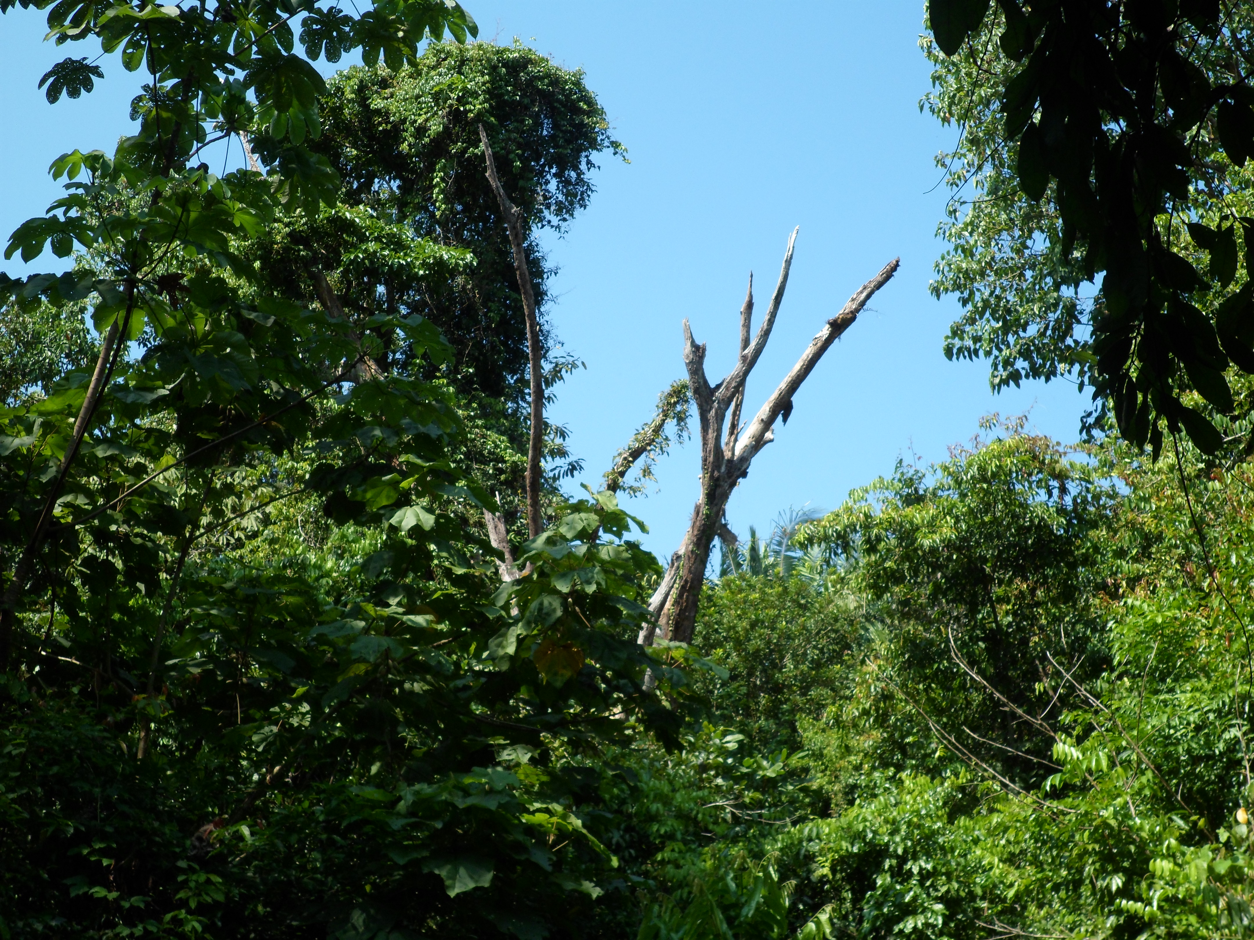


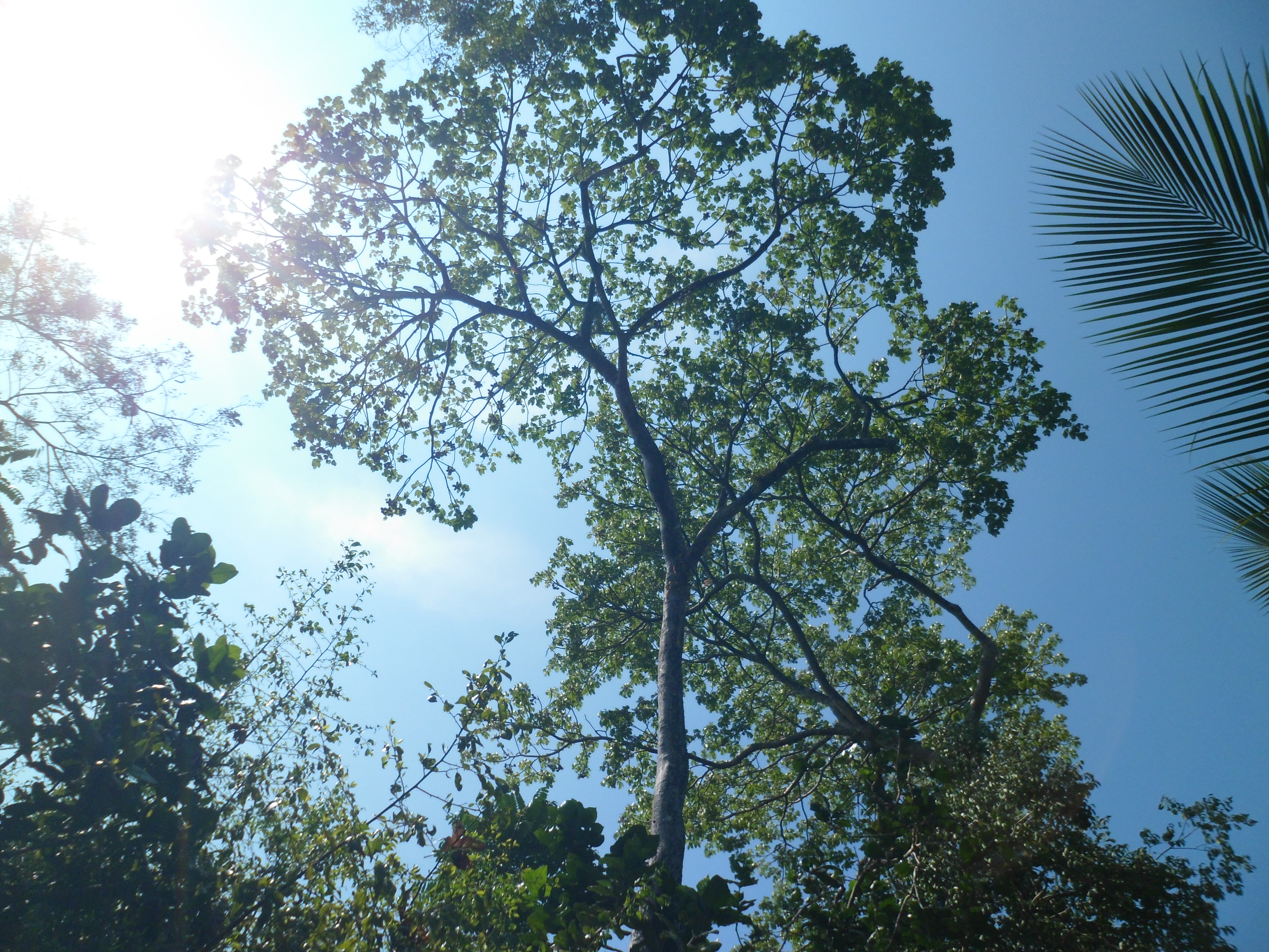


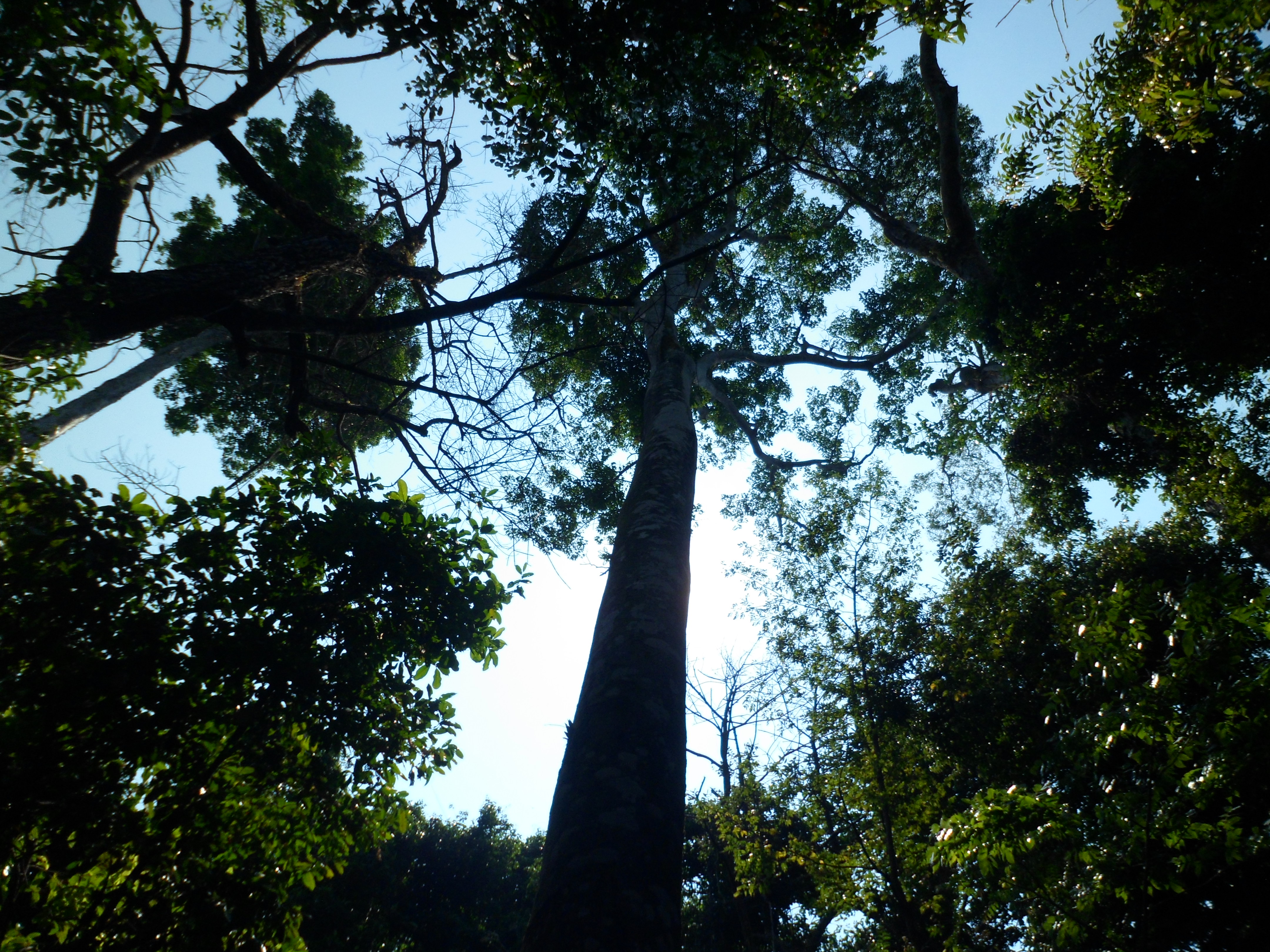
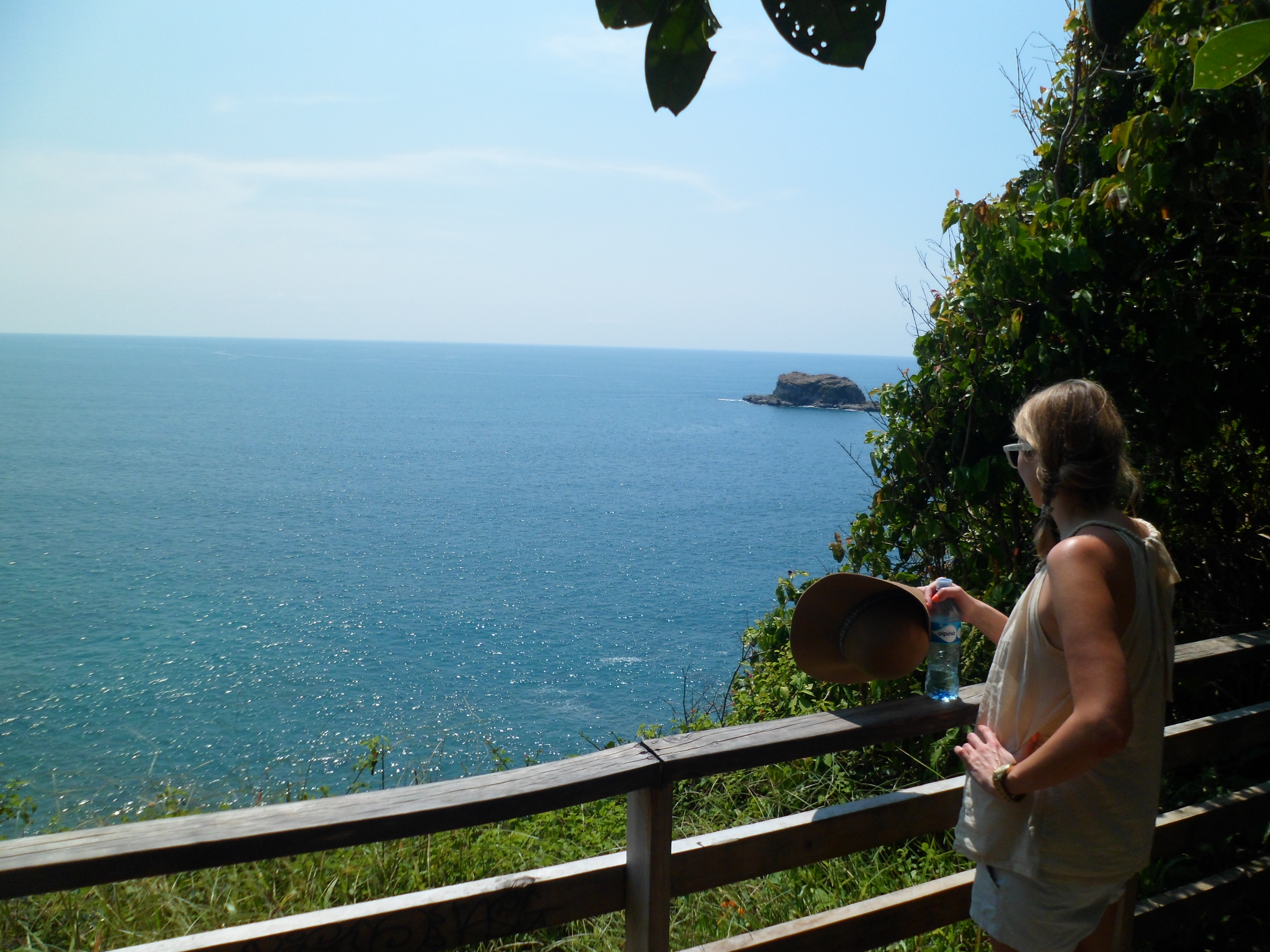
Cathedral Point was the highest of the hike, but there were several other viewpoints on the way down as well. It was very warm and you could cut the air in the forest with a knife, but everyone did really well.


As I said, the raccoons were fearless.
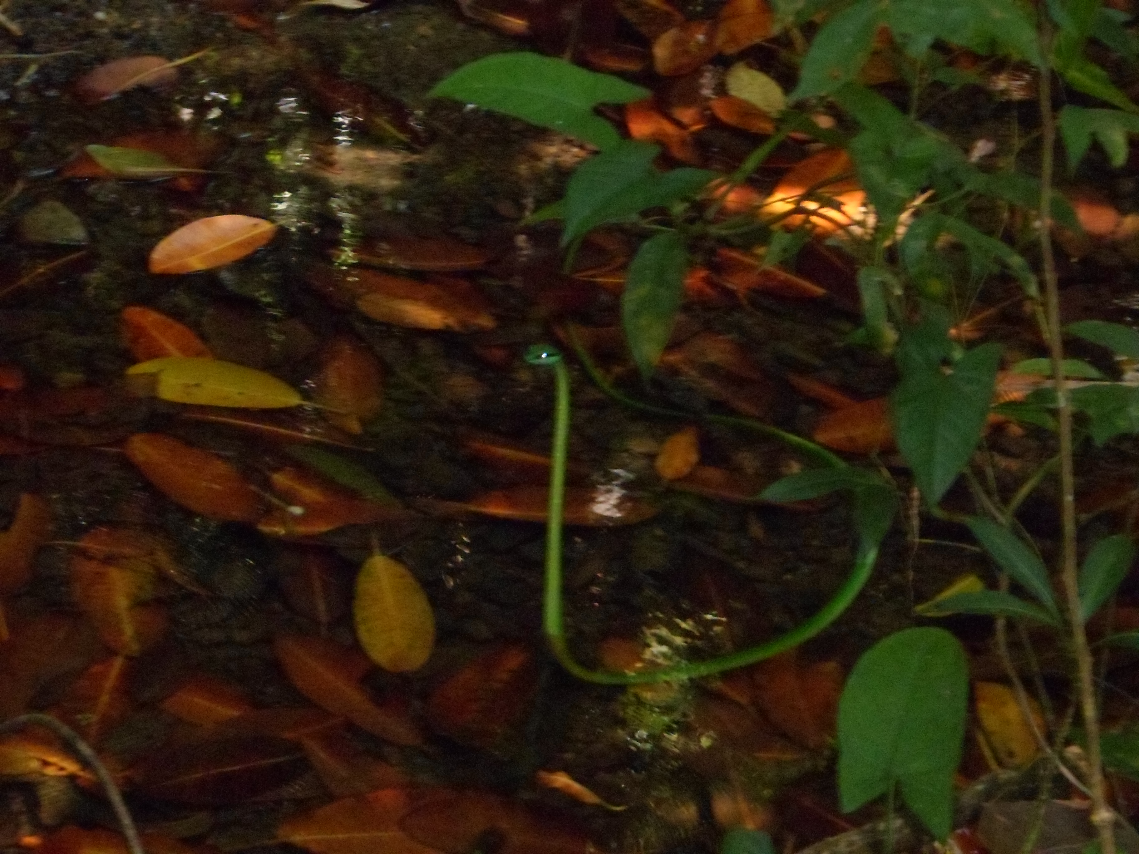
We all made our way back at our own pace. I stayed a bit behind with Greg because he hadn’t put his shoes back on from the beach stop we made and we saw another of the green snakes in a creek. It was holding itself up out of the water and very still, waiting on food to swim down to him I assume.
What an amazing hike. I don’t know if we’ll ever make it back, but I’m glad we had the experience, especially with the great family and friends who made it down. We are very lucky.
The trail map below is the best I could find. Our route was a combination of the trails on the southwest corner (roughly down the yellow trail, out to the loop on Cathedral Point, then down the purple trail on the beach, then backtracking back to the yellow trail and out).


Recent Comments