Pierce Wanderings
Texas Hiking (and elsewhere)
North Wilderness Loop – Little Lake Creek Wilderness, Sam Houston National Forest 8/21/15
Friday, August 21, 2015
Hike: North Wilderness Loop – Little Lake Creek Wilderness, Sam Houston National Forest – near Richards, TX
Weather: rainy, humid, mid 70s, overcast
Hikers: Ian, Court
Length: 6.93 miles
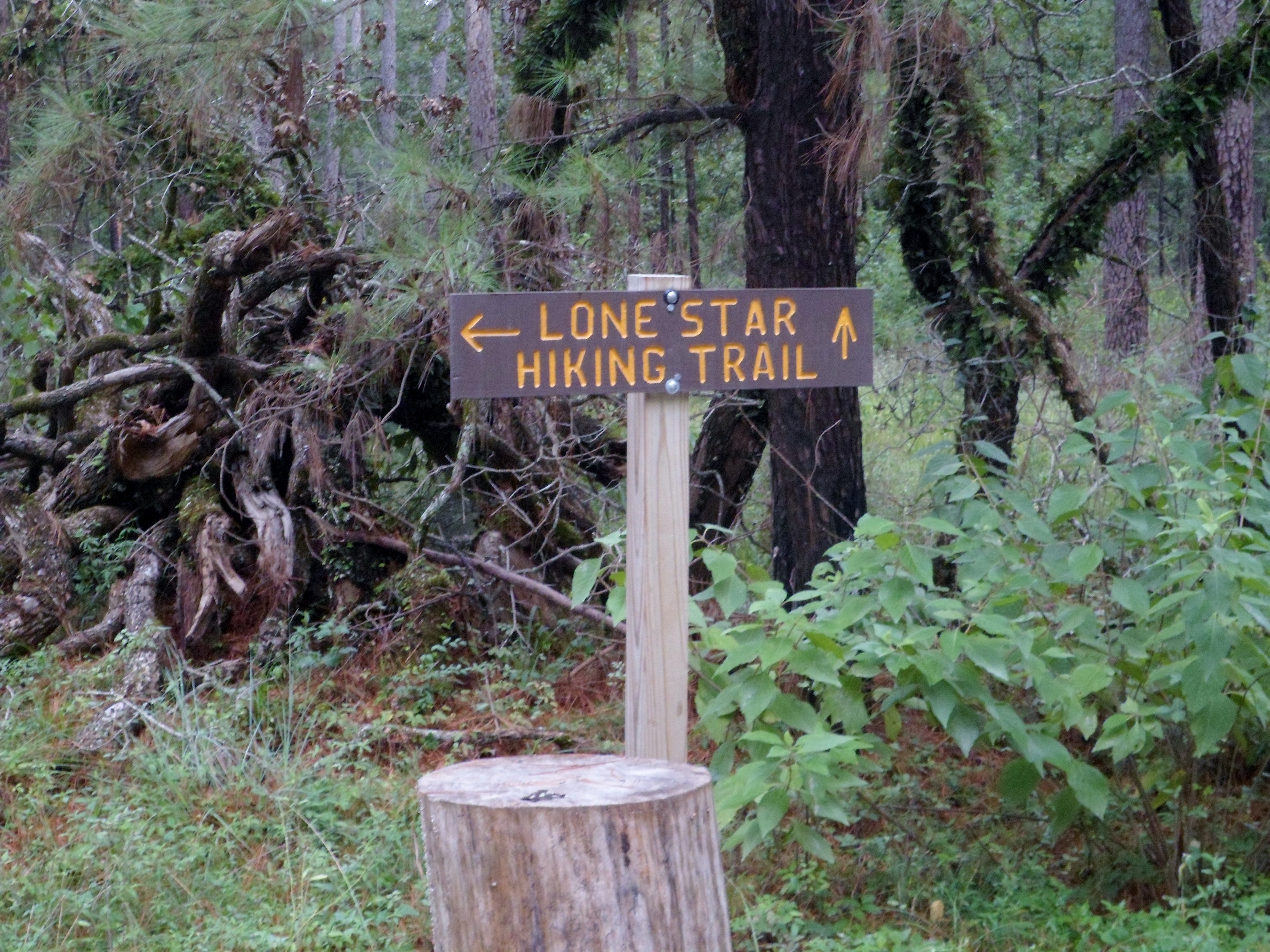
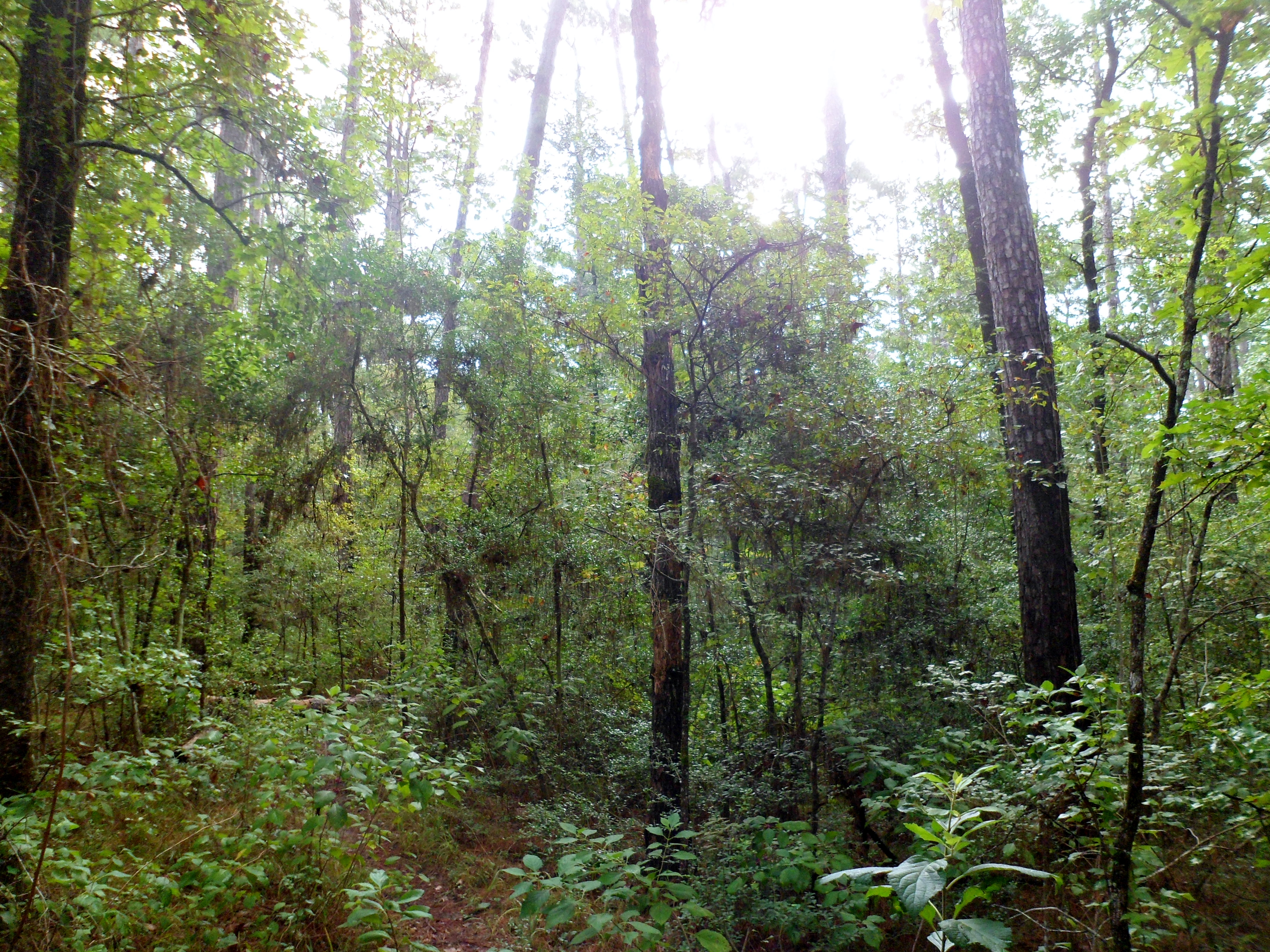
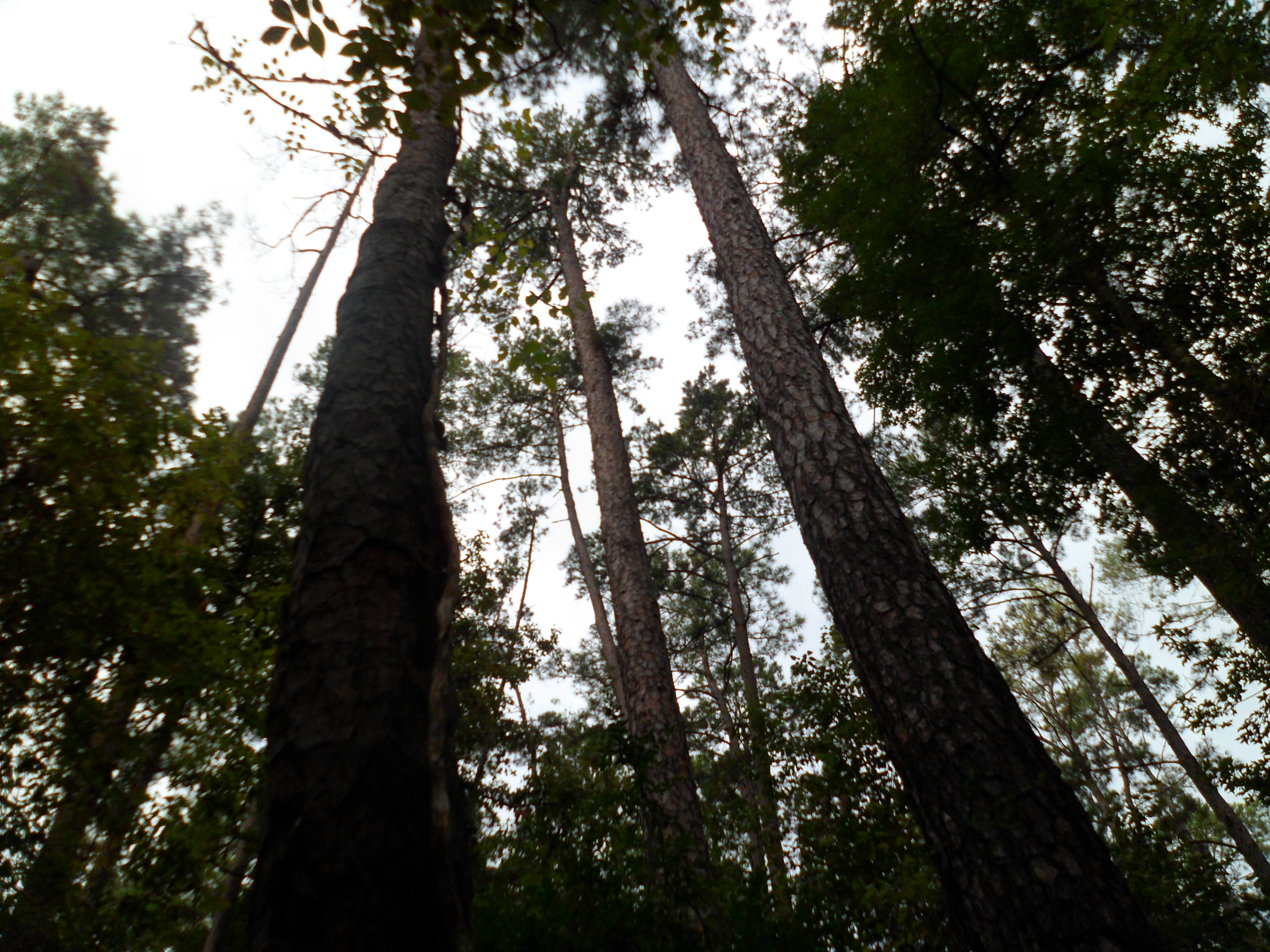
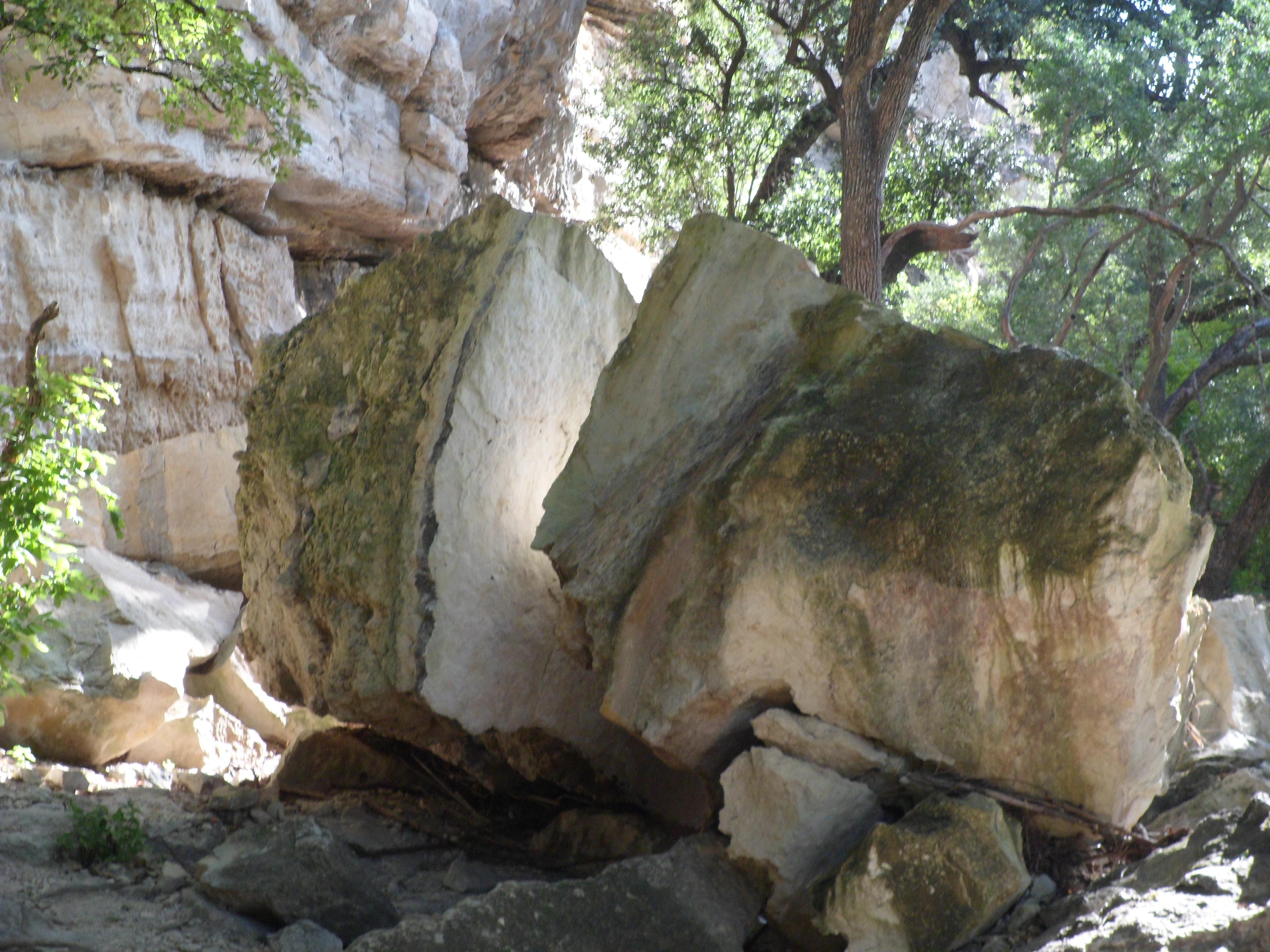
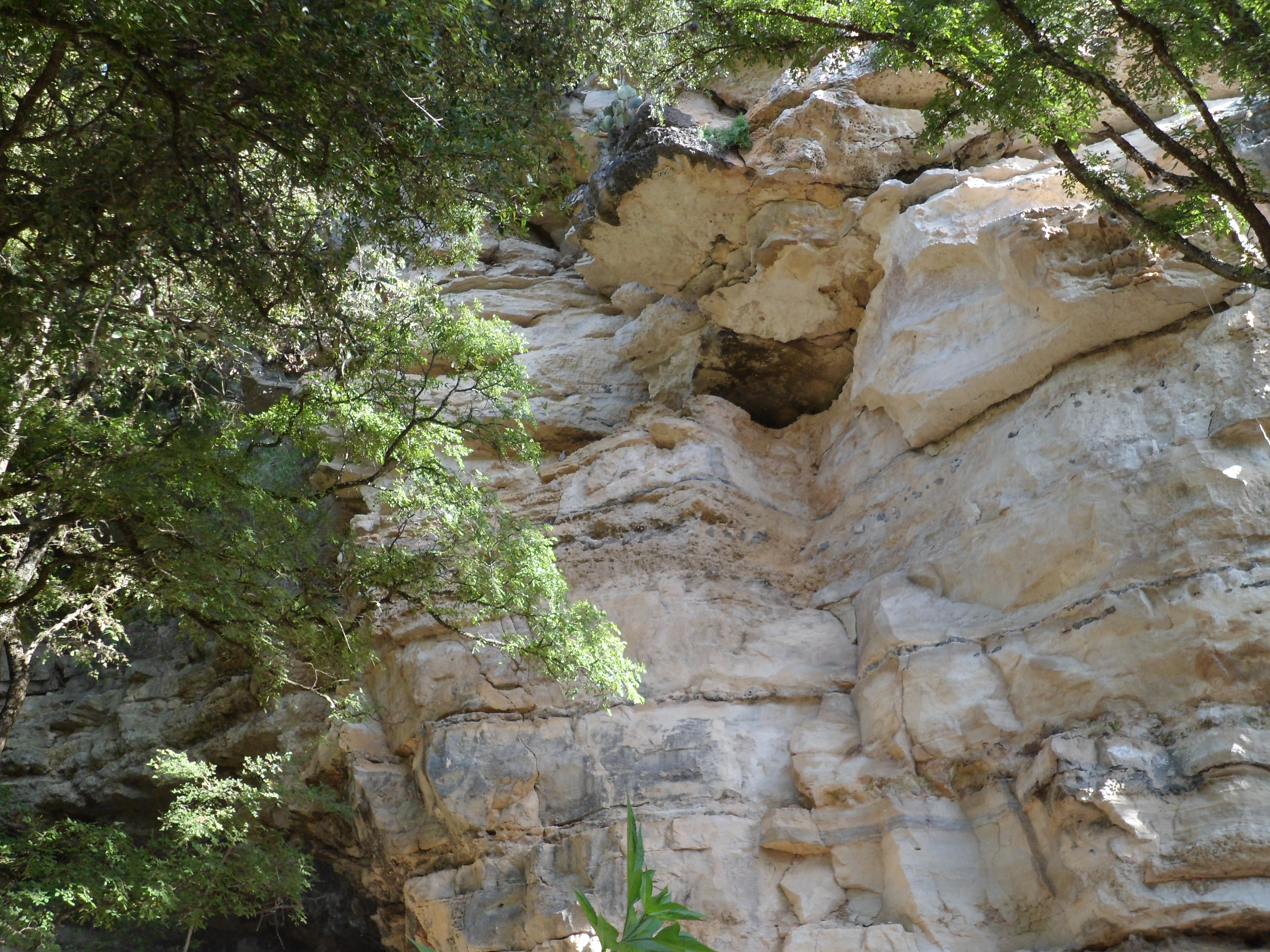
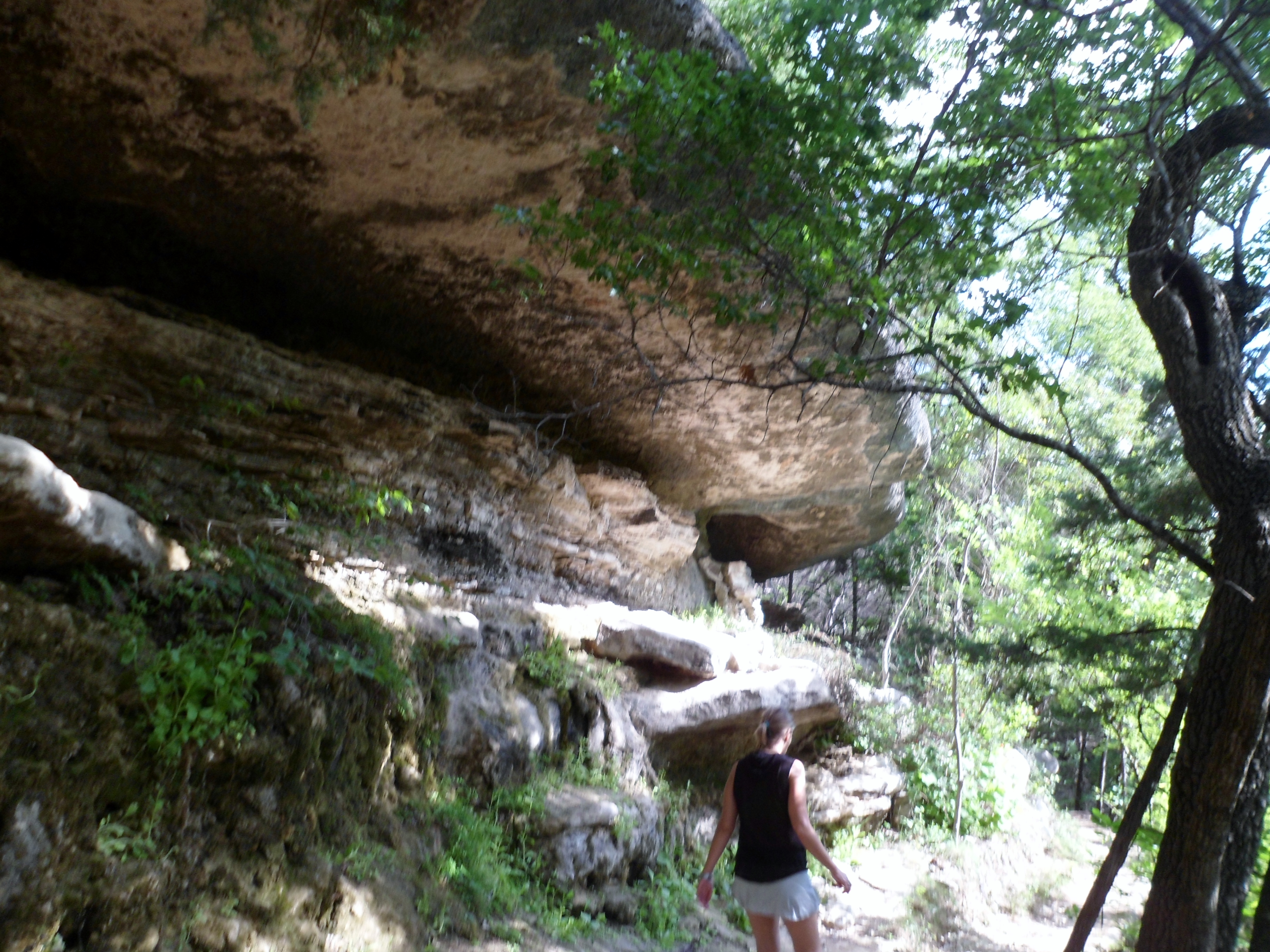
Court and I were in Navasota visiting her family for the weekend so we decided to go back and do more of the Lone Star Hiking Trail in the Sam Houston National Forest, about 30 minutes east. We had done the Richards Loop a couple of years ago, which is the first part (westernmost) of the Lone Star Hiking Trail. The loop we did today, the North Wilderness Loop, includes the second part of the LSHT. Sam Houston National Forest looks a lot like Endor. Trees everywhere.

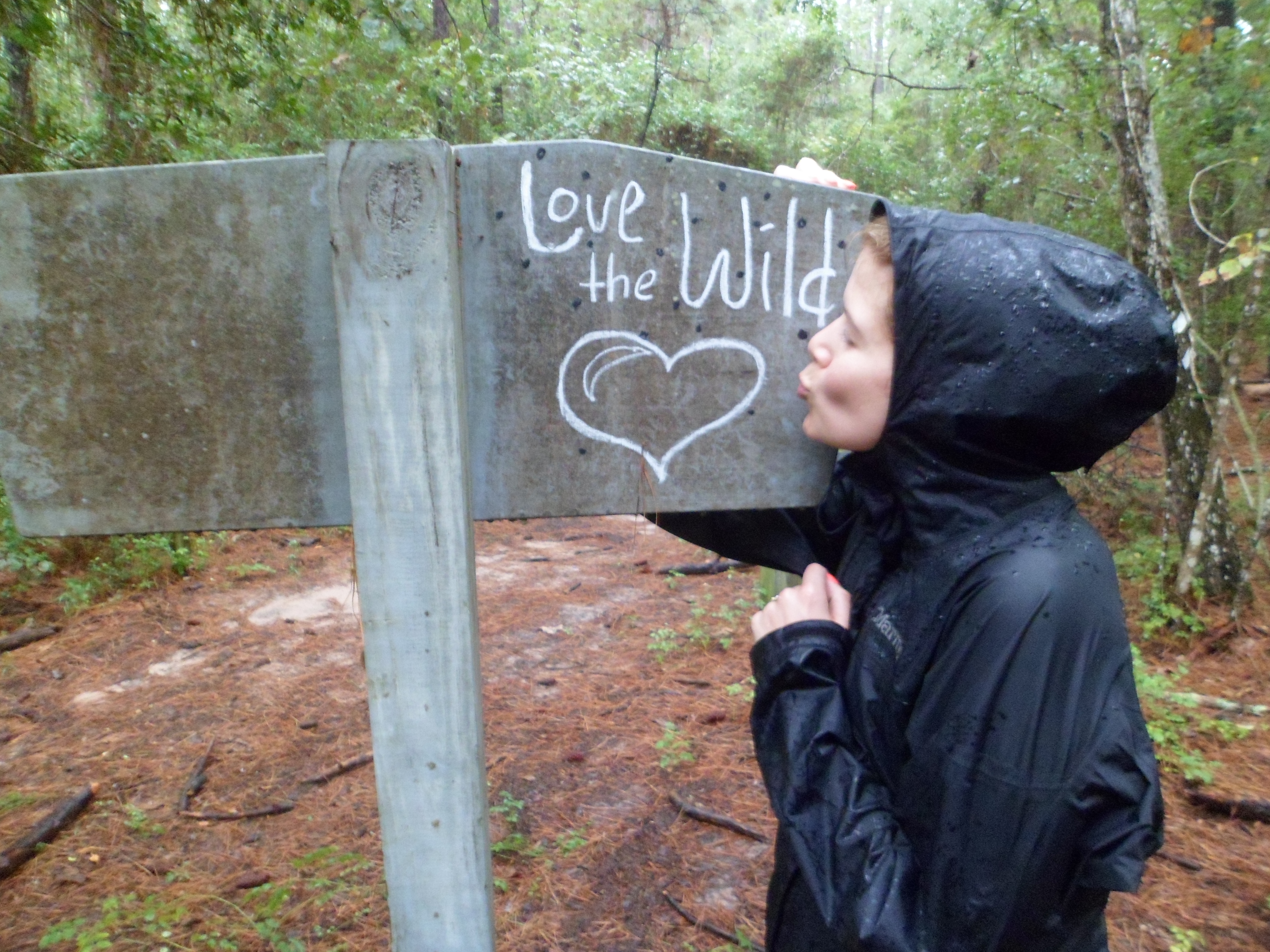
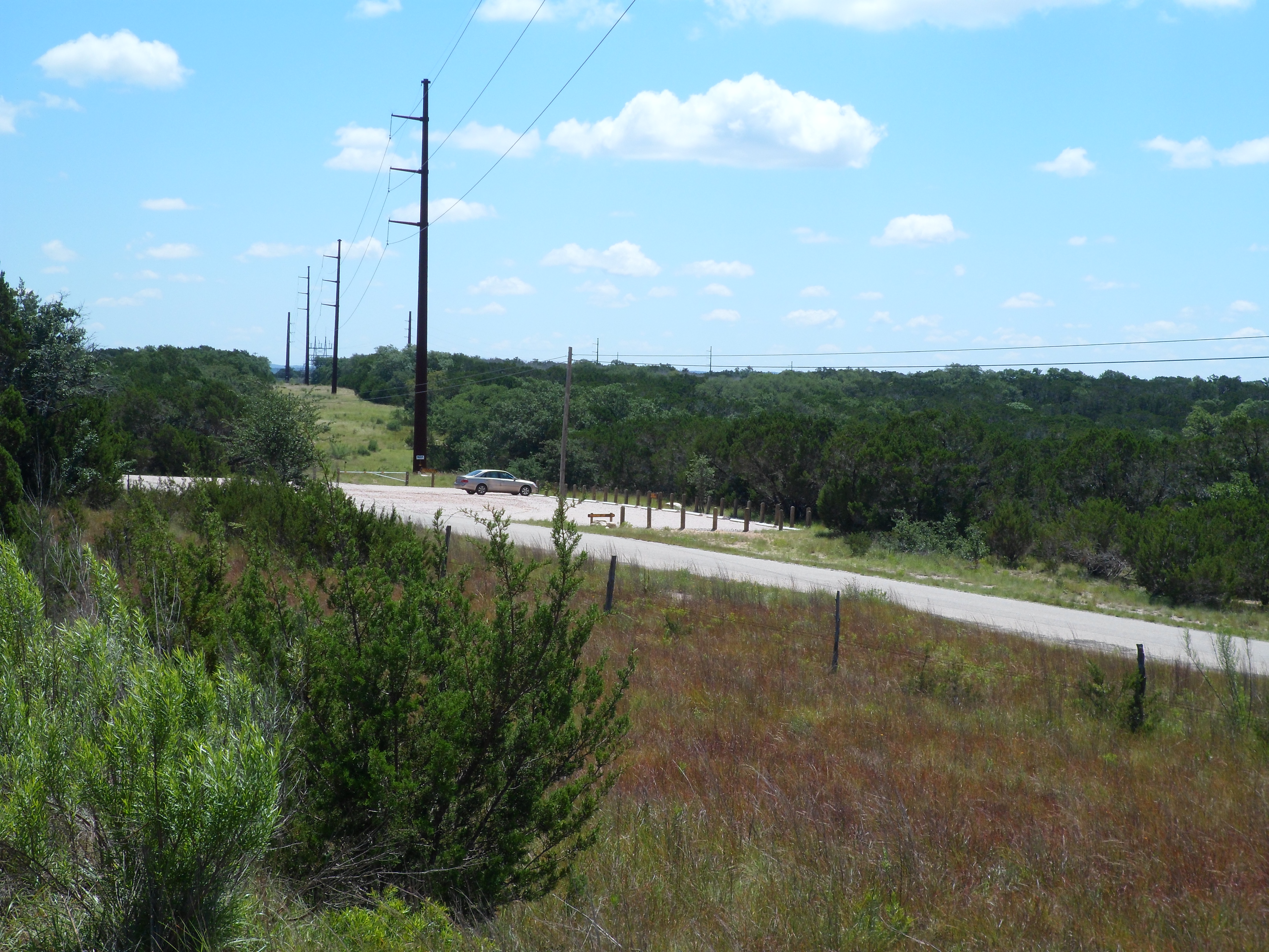
We hit the trail just after 8am. No one at the parking lot. This trail doesn’t get a lot of traffic. There was a 30% chance of rain so we had our rain jackets. I was kinda hoping it would rain, as I haven’t had a chance to use my jacket on the trail yet. I would get my wish later on.
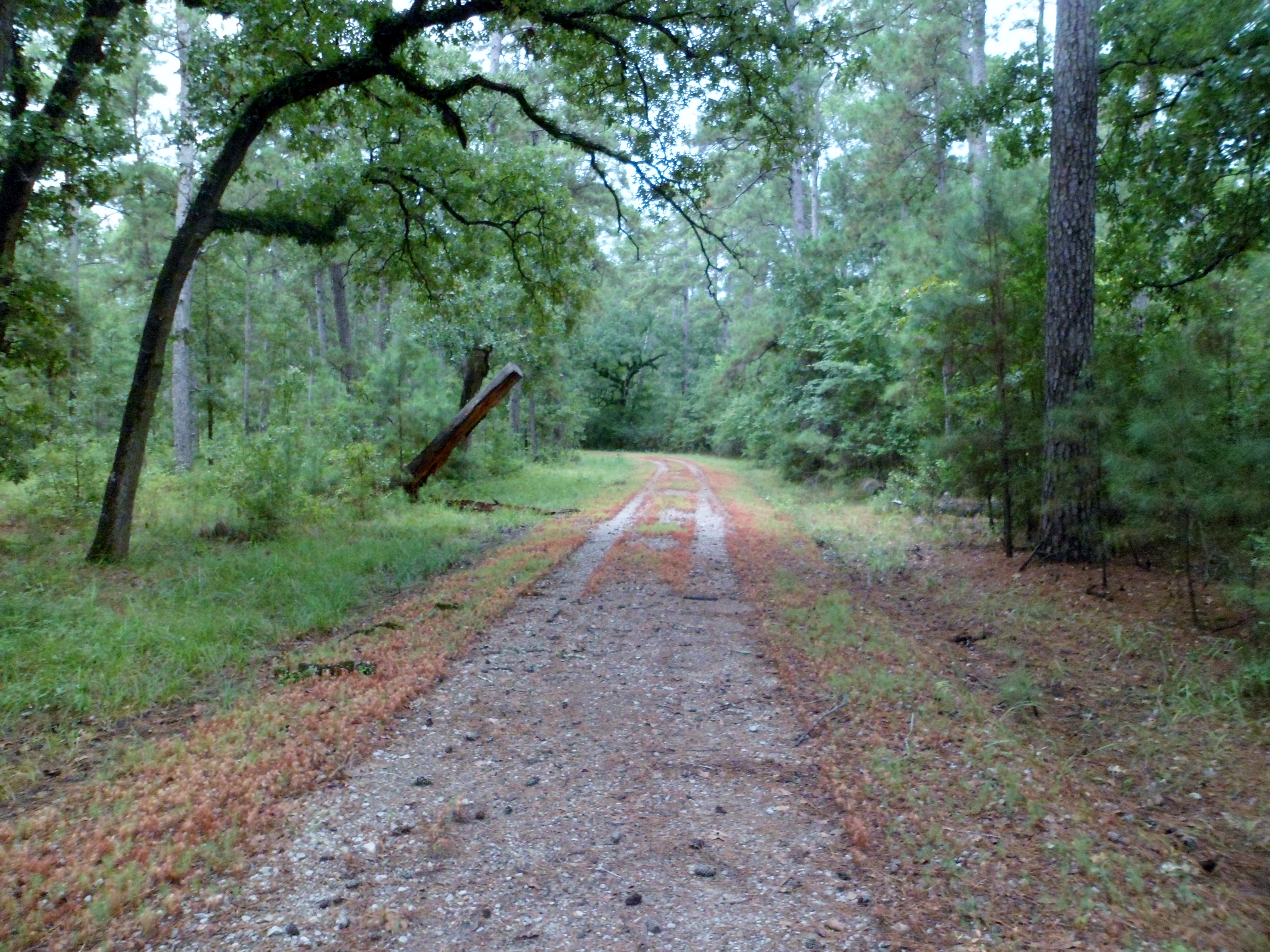
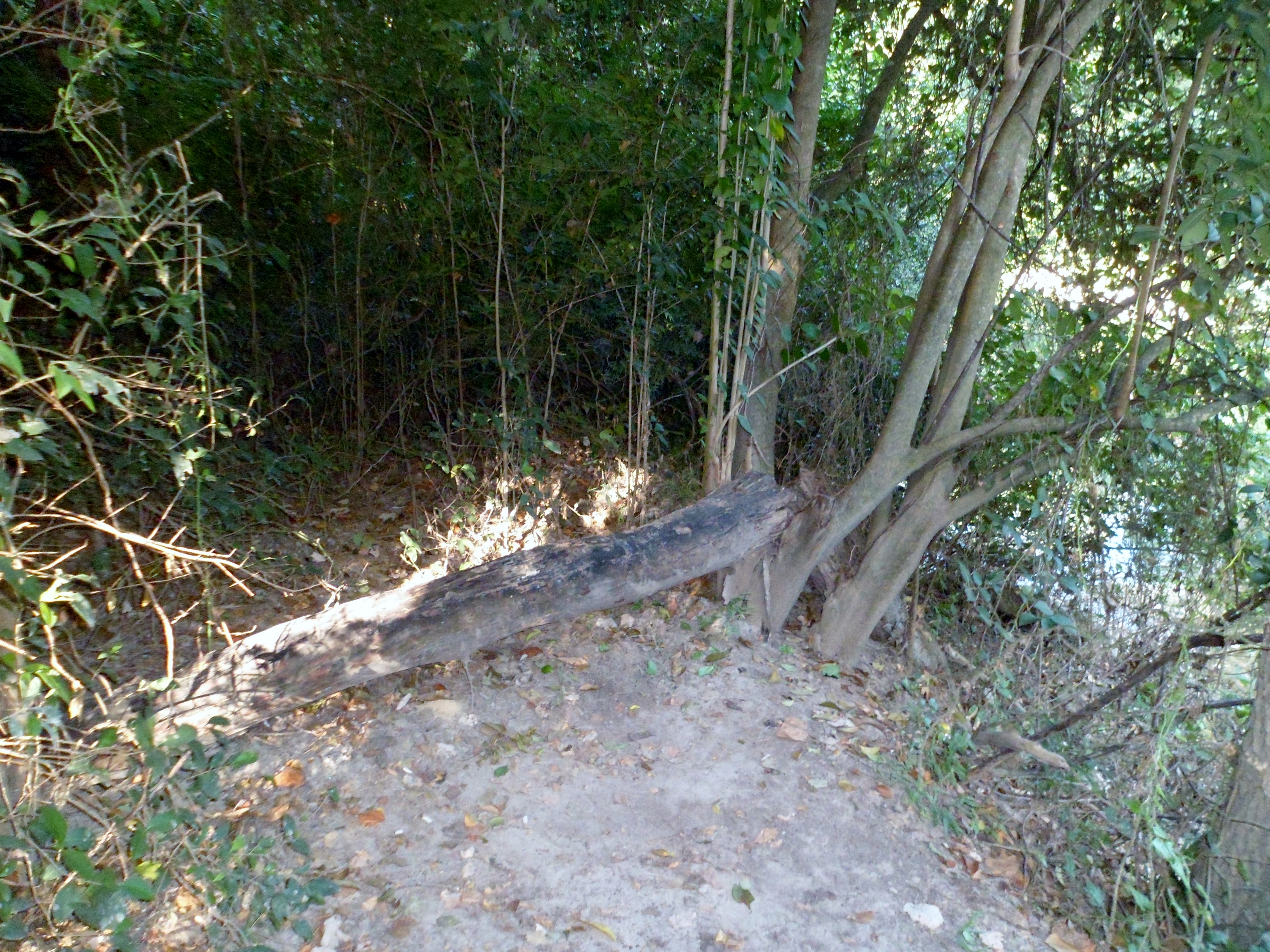
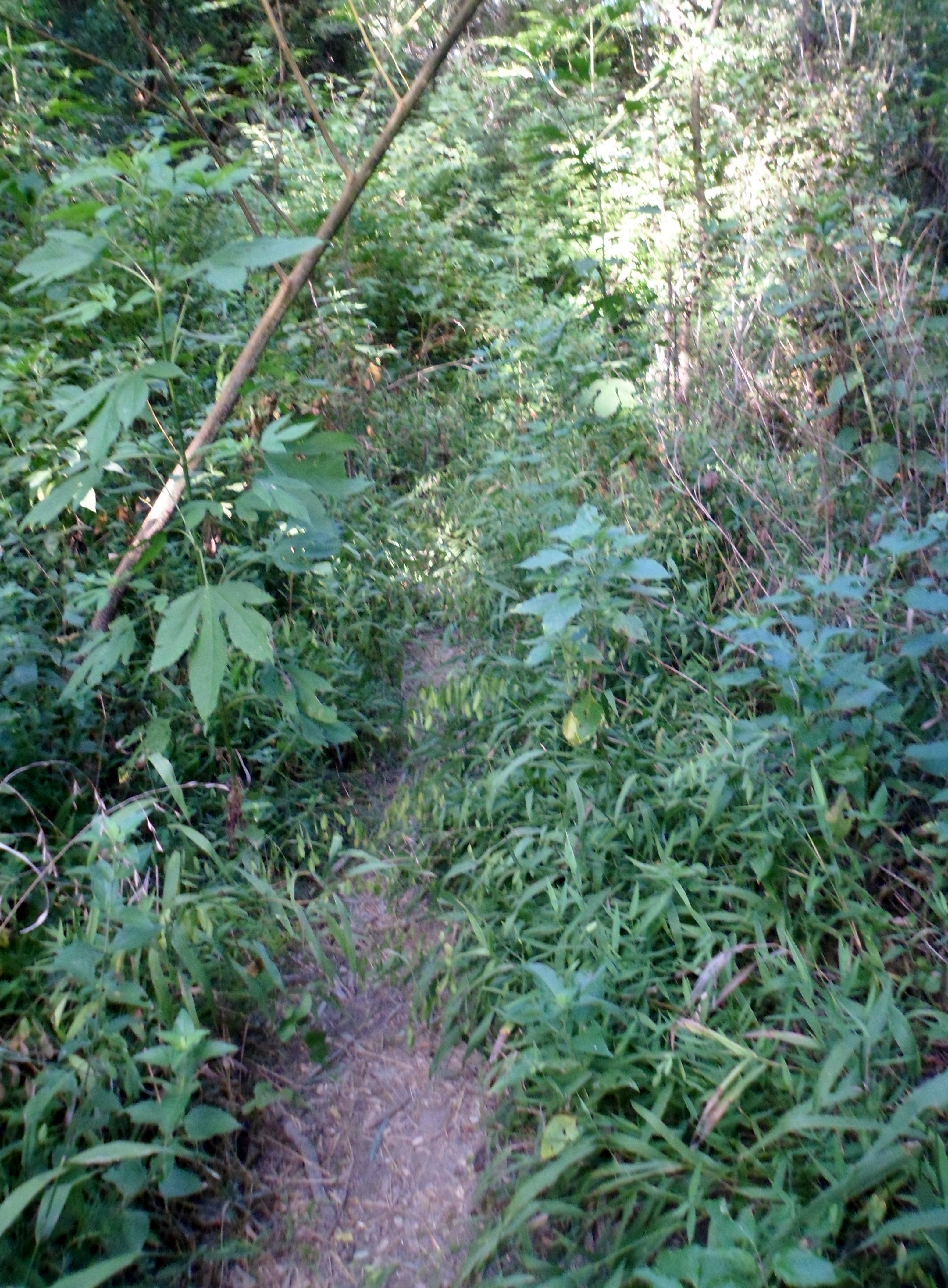
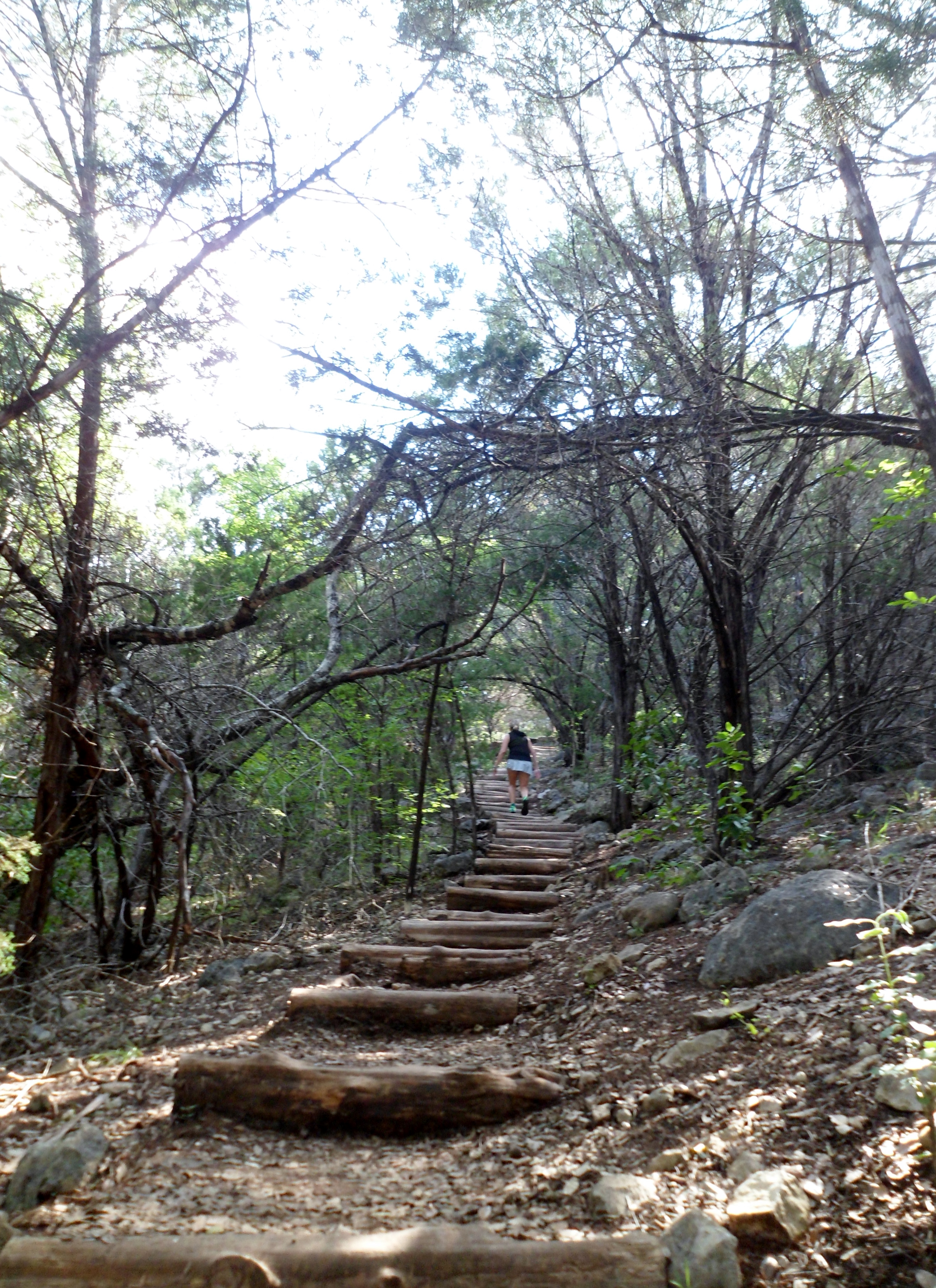
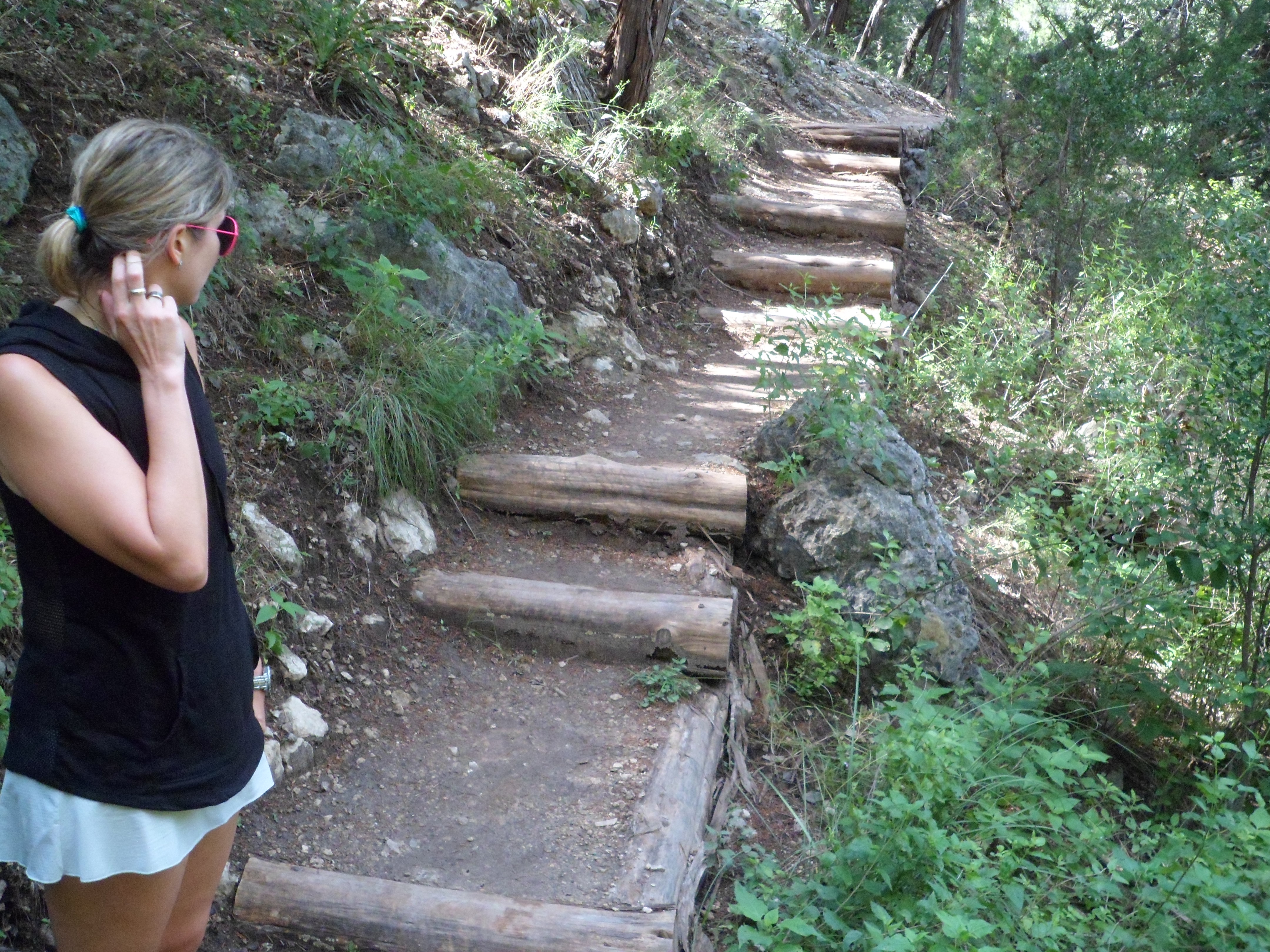
There was a register at the trail head, but no blank register cards. I took a handful out of the register and they were all at least several months old. We continued into the forest and dealt with some pretty bad mud at the beginning. It also soon became apparent that a spider stick was very necessary. Our pace for the first half of the trail was just over 1 mph, mainly because about every 10 feet we had to slow to clear yet another web out of the way. I didn’t take any direct spider hits to the face, but came close several times.


We quickly split off from the LSHT after half a mile to the North Wilderness Trail. This was not nearly as well maintained as the main LSHT. Bushwhacking and spiders made for an interesting morning. The art of using a spider stick is essentially waving the stick up and down in front of you while you walk to clear the webs. After a while I actually started to develop blisters on my hands where the stick was rubbing, so I had to use the leukotape usually reserved for my feet on my hands. At the end of the day, I found out the hard way about how sticky it was.


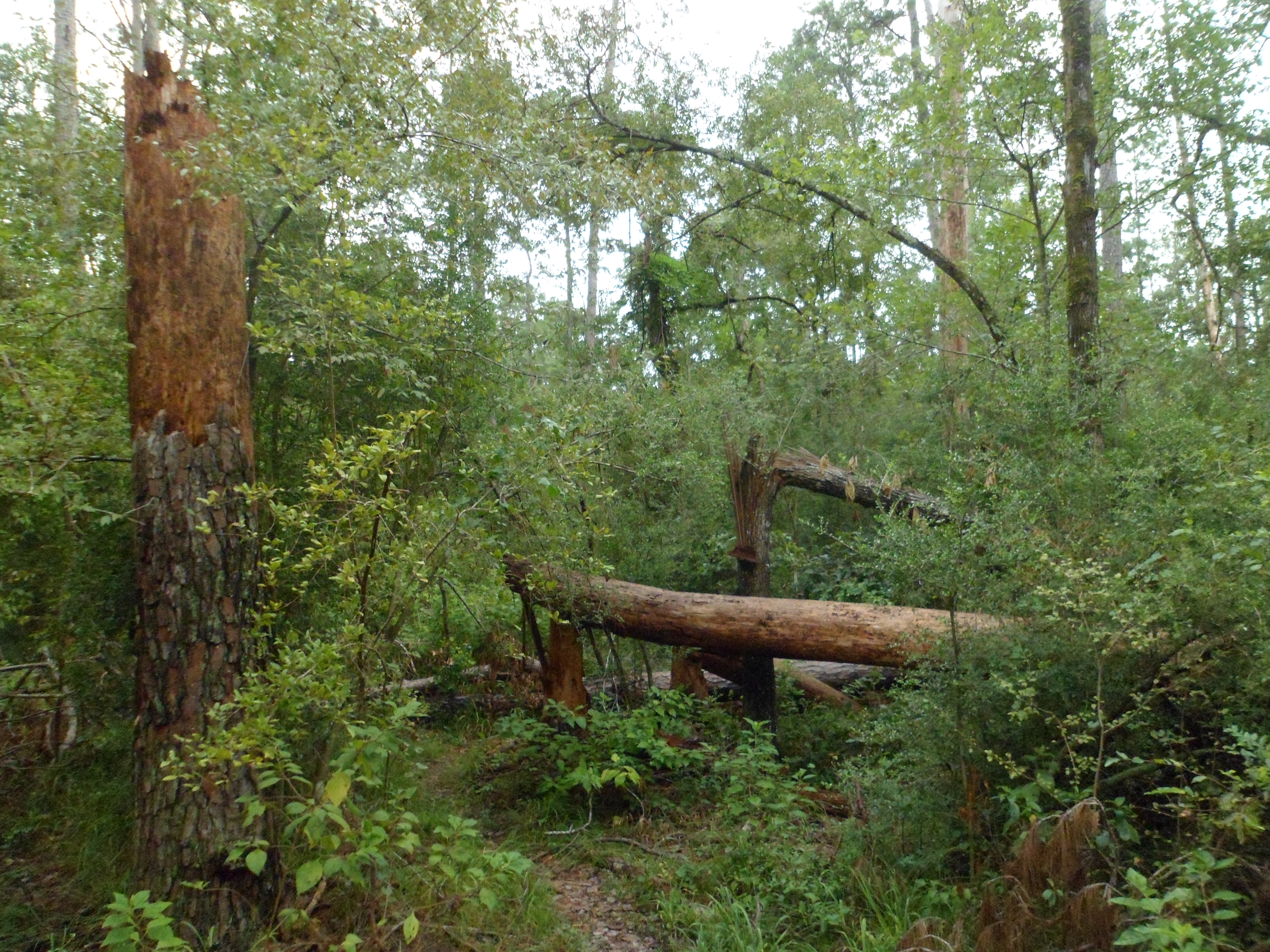
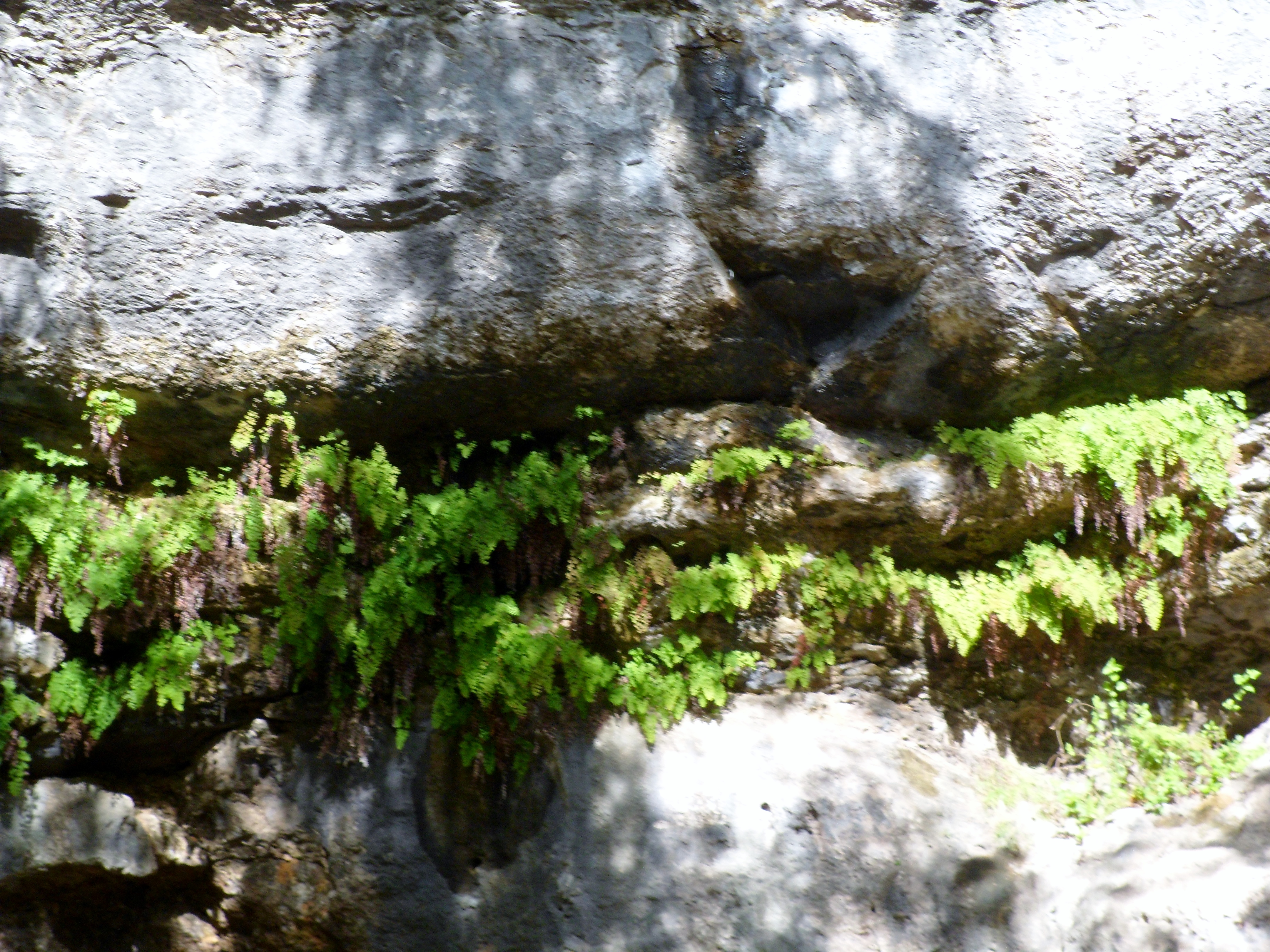
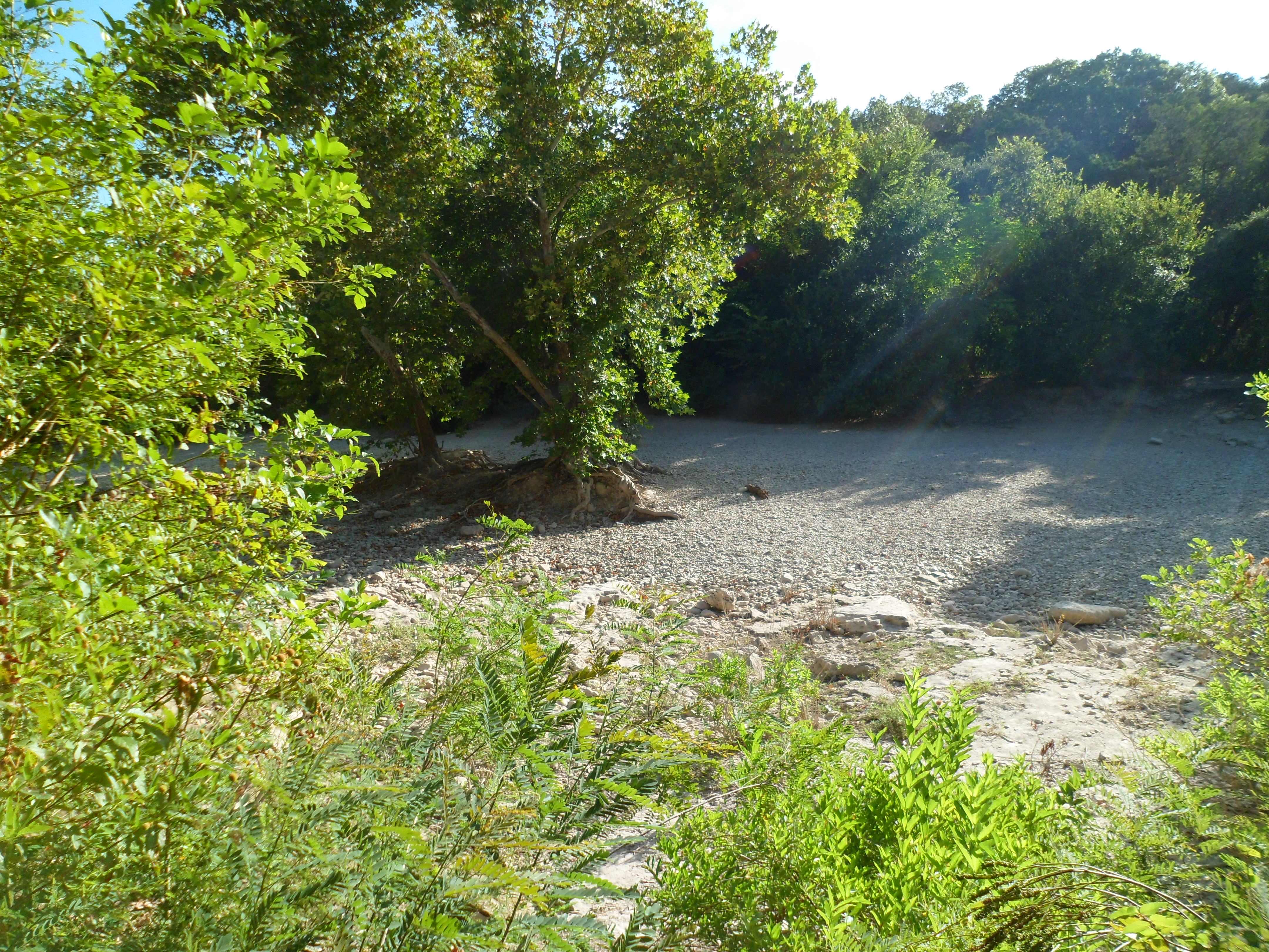
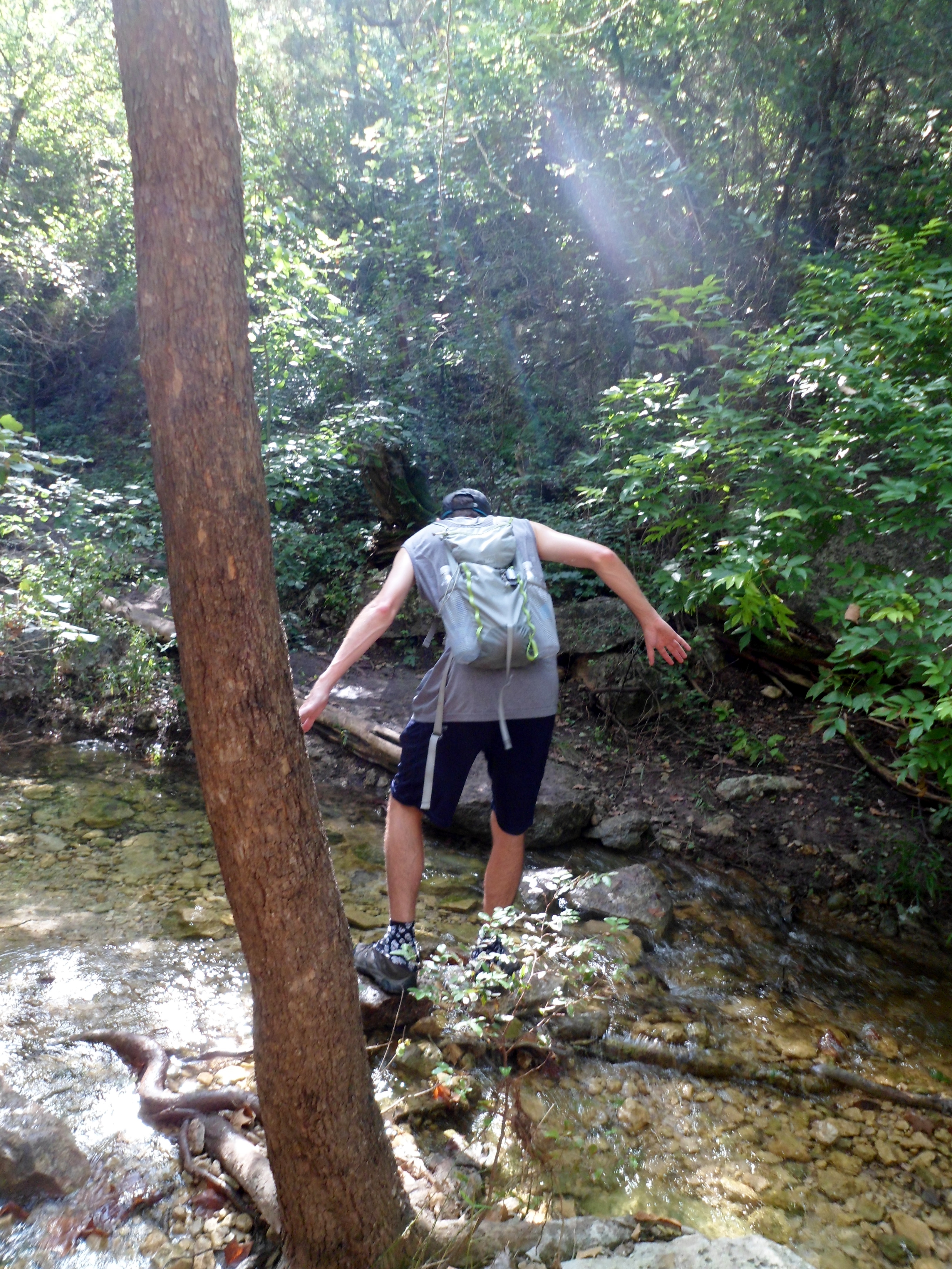
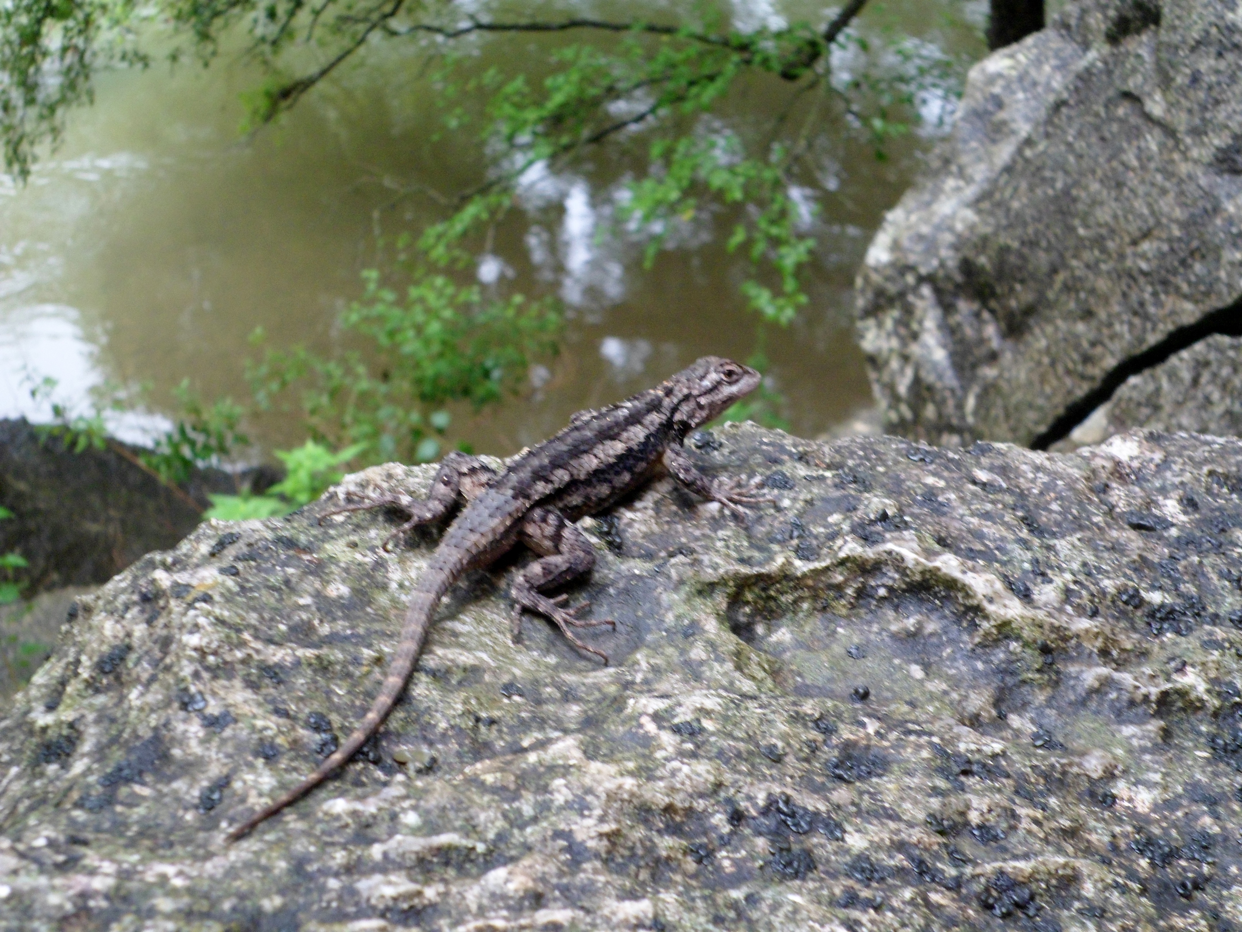
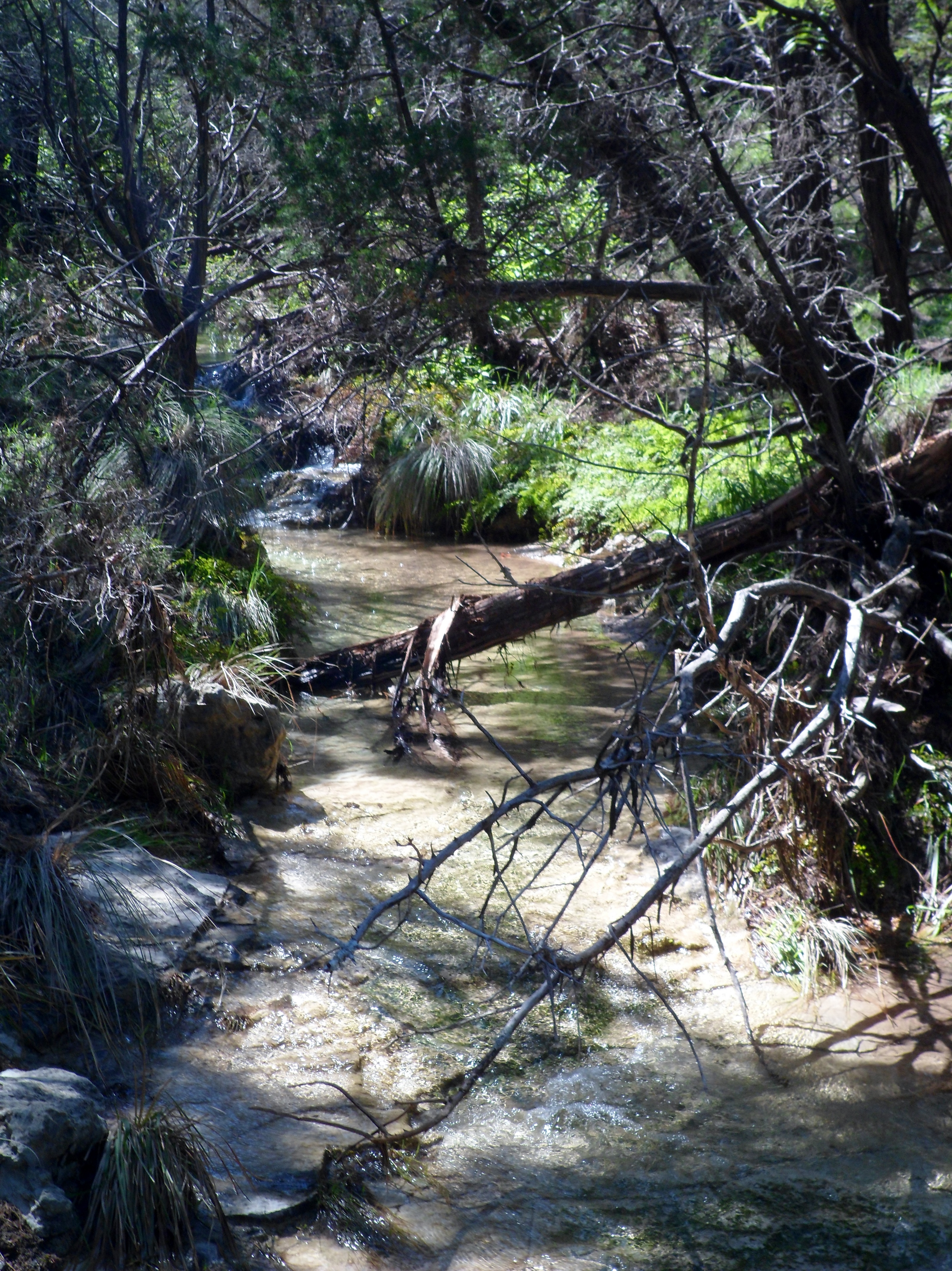
The trail is very flat, save for a couple of creek crossings (Little Lake Creek being the main one), but they were all dry due to the lack of rain the past couple of months. At one of those crossings Court spotted a HUGE spider on a tree, just sitting there, staring at us, plotting our demise. You can’t tell from this photo, but he was easily as big as my palm. I got as close as I dared with the camera and we continued on.

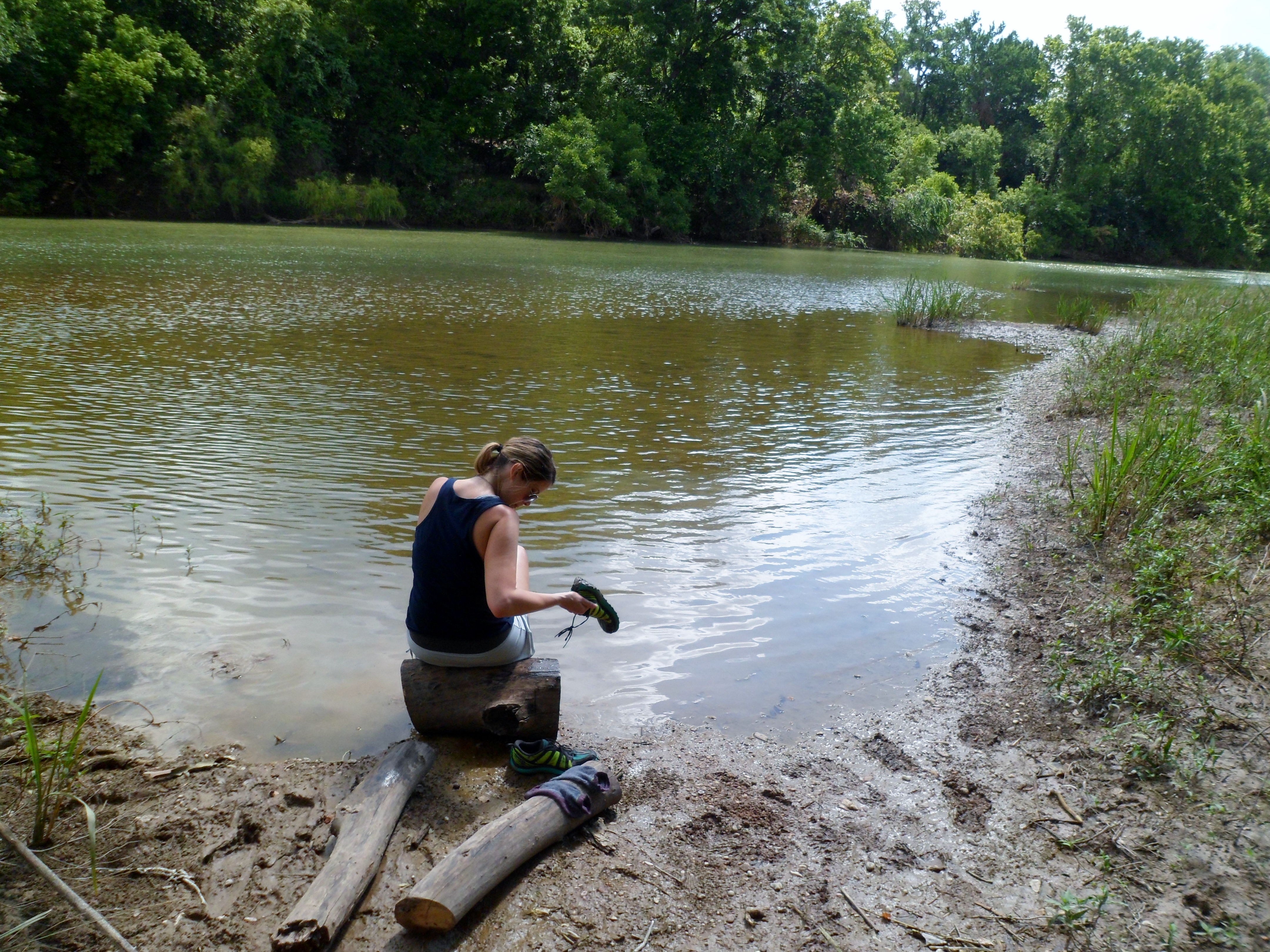
We decided to cut the loop a bit shorter than we planned, due to our slow going at first. We came to a forest service road just before the end of the North Wilderness Trail and decided to take it down to its intersection with the main LSHT and head back. Just as we hit the road, the clouds started to gather and thunder started to roll. We got out our rain jackets and donned them just in time as a heavy downpour engulfed us.
Court was not a fan of the rain, but it wasn’t that bad. Our jackets held up great (Marmot Precips). I had used a trash bag as my pack liner and everything inside was kept dry. The rain only held up for about 15 minutes and by the time we reached the intersection with the LSHT it had let up and we headed back onto the trail. However, we soon got a phone call in the middle of the Wilderness (I feel that isn’t supposed to happen) from Court’s mom telling us that a large storm was heading our way. We had about 3.5 miles to get back to the car, so we quickened the pace. Luckily, the rain had downed a lot of the spider webs and the trail was much more clear on the way back, so we were able to make good time.
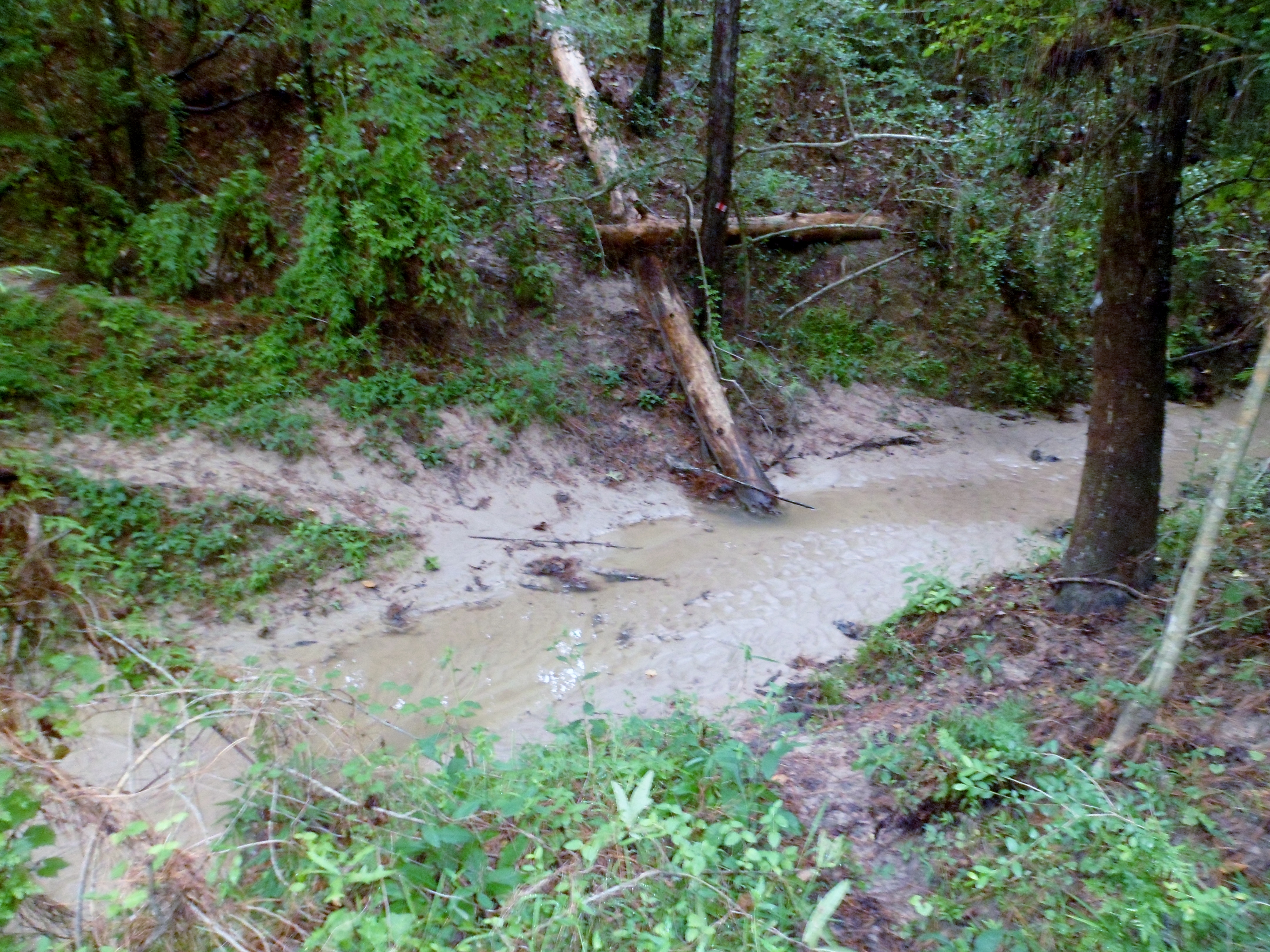
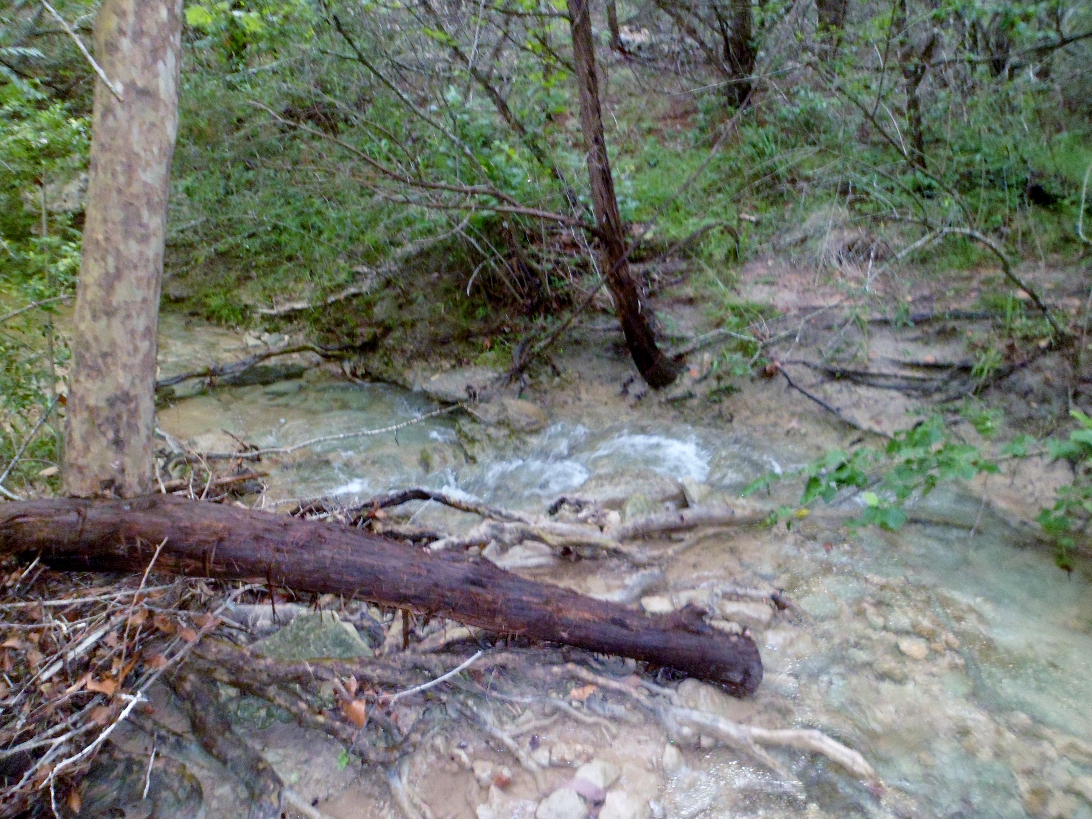
We crossed back over Little Lake Creek, which was flowing pretty decently now after the rain. We got back to the car safe and sound, but with very wet shoes. The fabled storm never materialized and the weather actually cleared up a bit on the way home.


Overall, it was a nice adventure, but honestly, not one of our better hikes. The trails are really overgrown. I’m not sure if it’s just this western part of the LHST, but the going is slow and the spiders in the summertime are just horrendous. I may try and come out here solo and do different parts of the trail in the future, probably nearer the winter time to hold off the spiders a bit, but this will probably be the last venture here for a while. Still beats a day in the office though.

Violet Crown Trail – Phase One 8/7/15
Friday, August 7, 2015
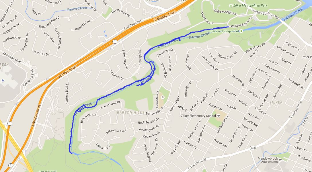
Hike: Violet Crown Trail – Phase One (Barton Creek Greenbelt), Austin, TX
Weather: high 80s, warm, clear
Hikers: Ian
Length: 5.14 miles
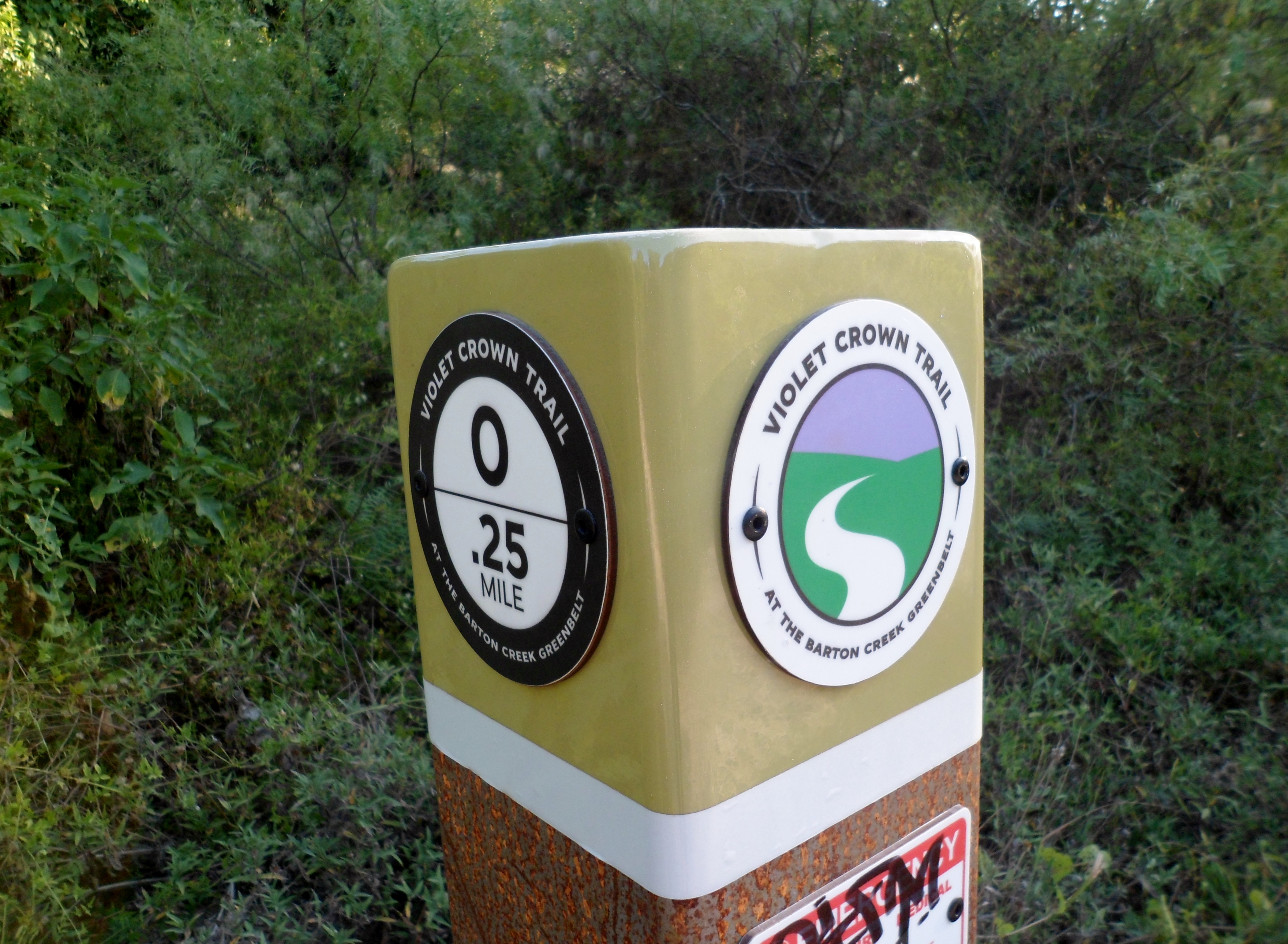
Ok, so this is really just the regular Greenbelt that I’ve done a dozen times, but the difference today was that the Hill Country Conservancy has started to put Violet Crown Trail markers in. This is the beginning (Phase 1) of the Violet Crown Trail, which is eventually going to stretch about 30 miles from Austin south to almost San Marcos. This trail is scheduled to be complete in the next few years and I’ll be very excited when it is. It will be nice to have a lengthy trail right in my own backyard.
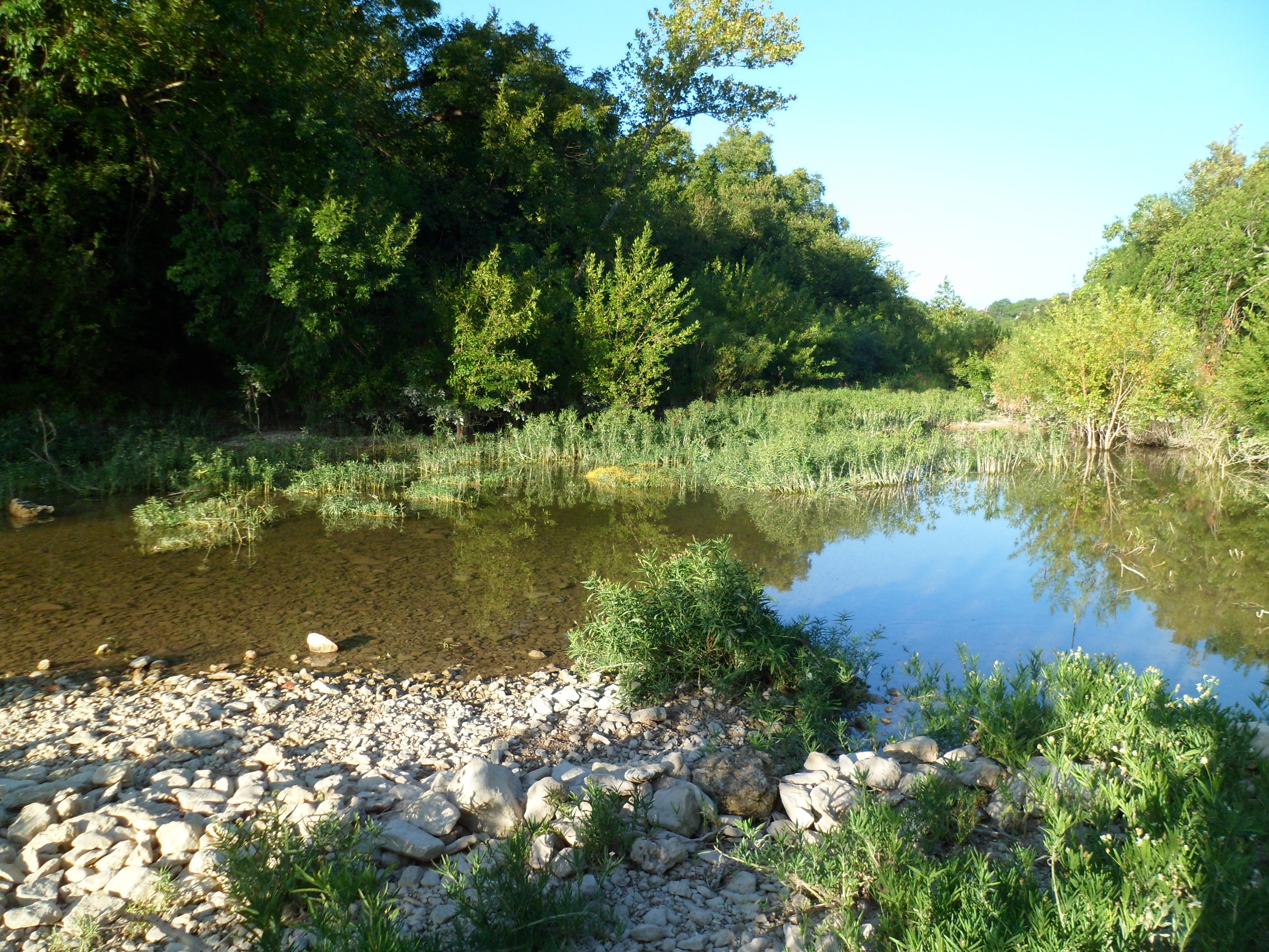
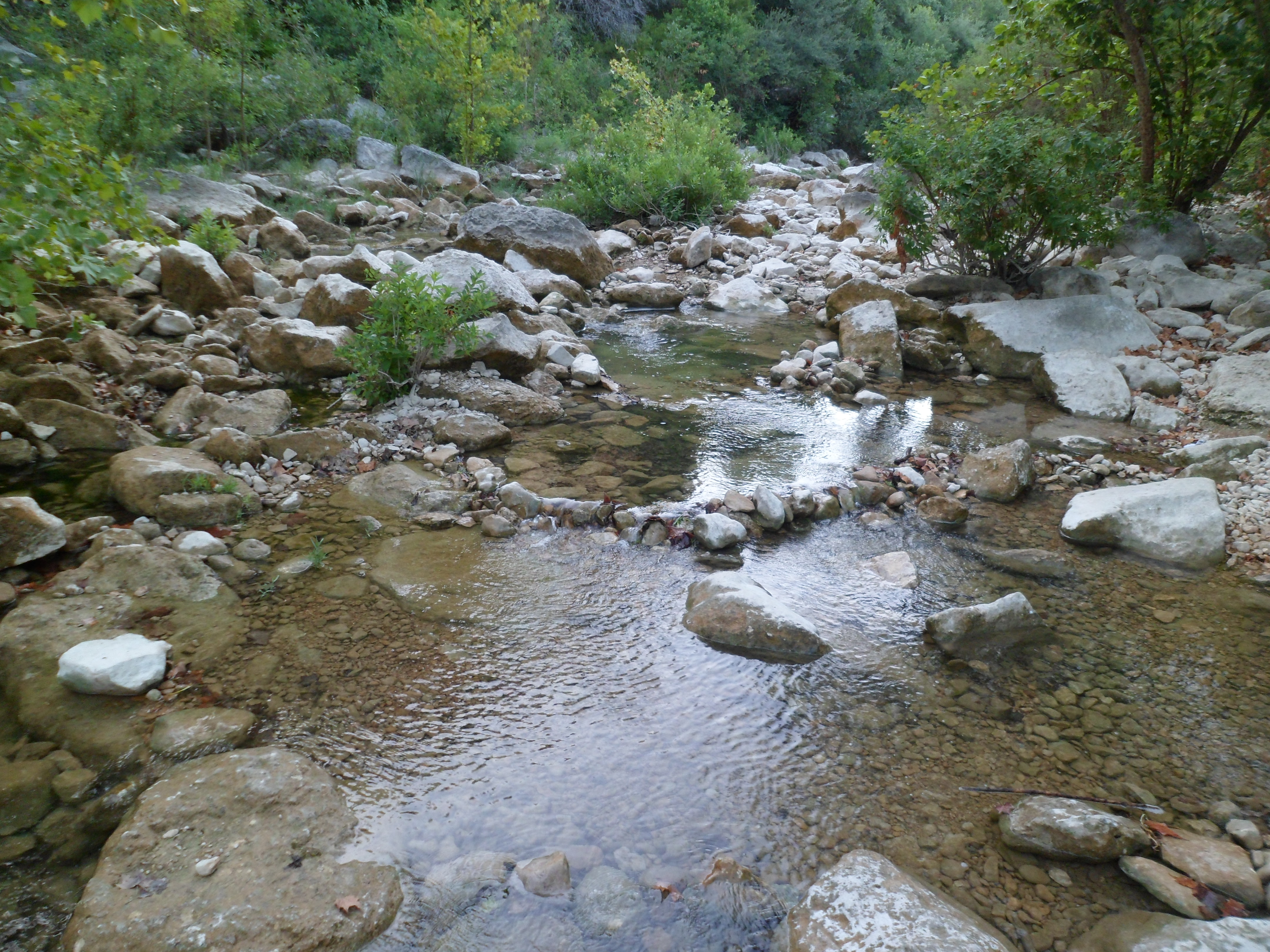
I got out to the trail around 8am and the heat wasn’t too bad for a couple of hours. There is still some water in the creek, but it is very low. El Nino is supposed to ramp up again in September, so hopefully the rain will come back. I did get to hike down the middle of the creek for a while, which provides a different experience than just sticking to the trail. Unfortunately, with this trail being in the middle of the city, it attracts people who use it for a drinking spot and generally these people aren’t familiar with the Leave No Trace concept, so there is a lot of trash.

I crossed the creek and found a different trail and followed it for a while, but it brought me to a dead end and I had to backtrack.
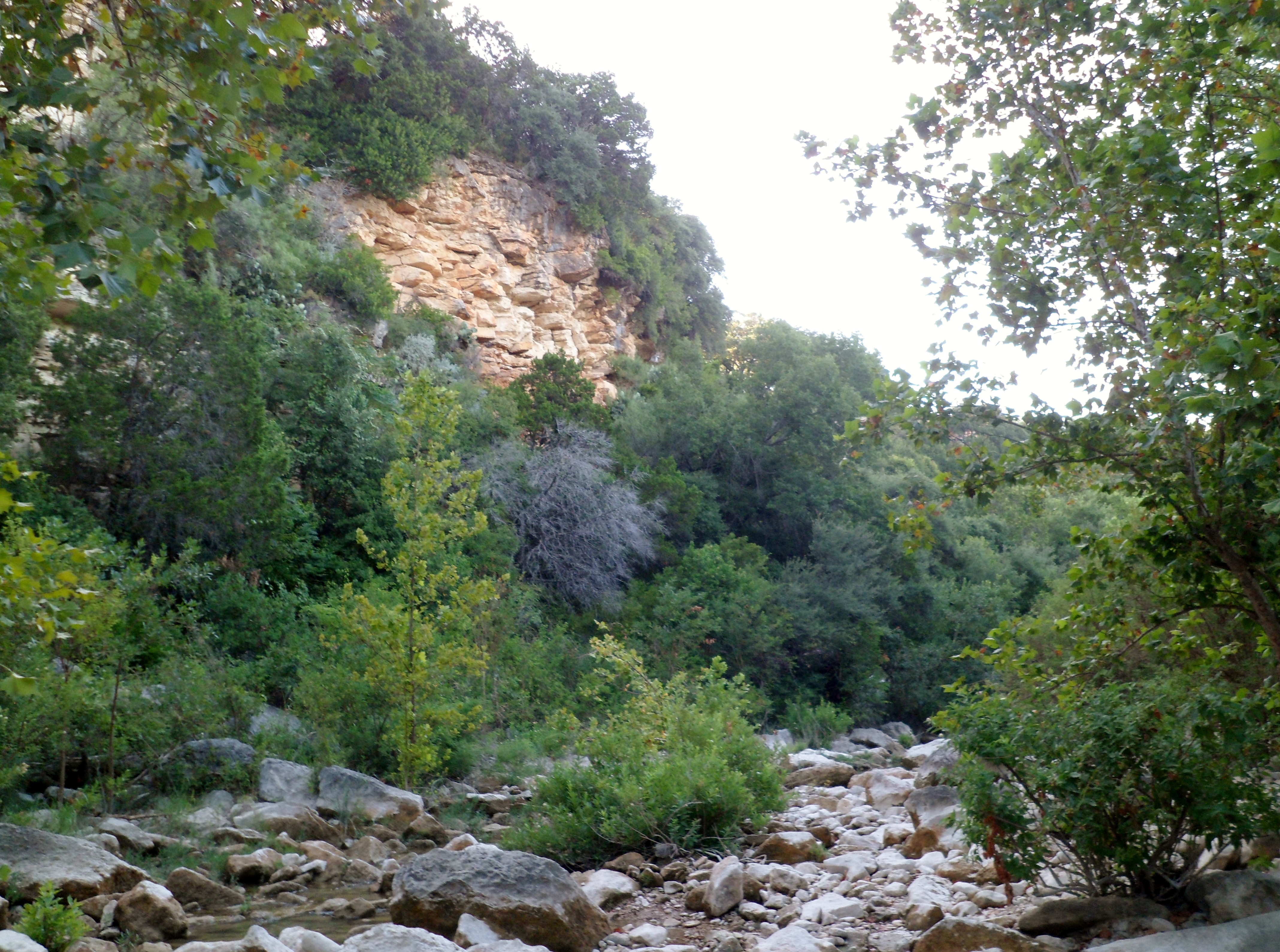
I got to Gus Fruh and decided that the heat was about to kick into high gear so, so I headed back. There is a section of the trail that has a recommended detour because of falling rocks. I’ve done this section before and it has always seemed safe, but this time there were a couple of boulders in the middle of the trail that had fallen recently that were the size of cars. With thoughts of 127 Hours going through my head, I decided to cross back over and go with the detour.
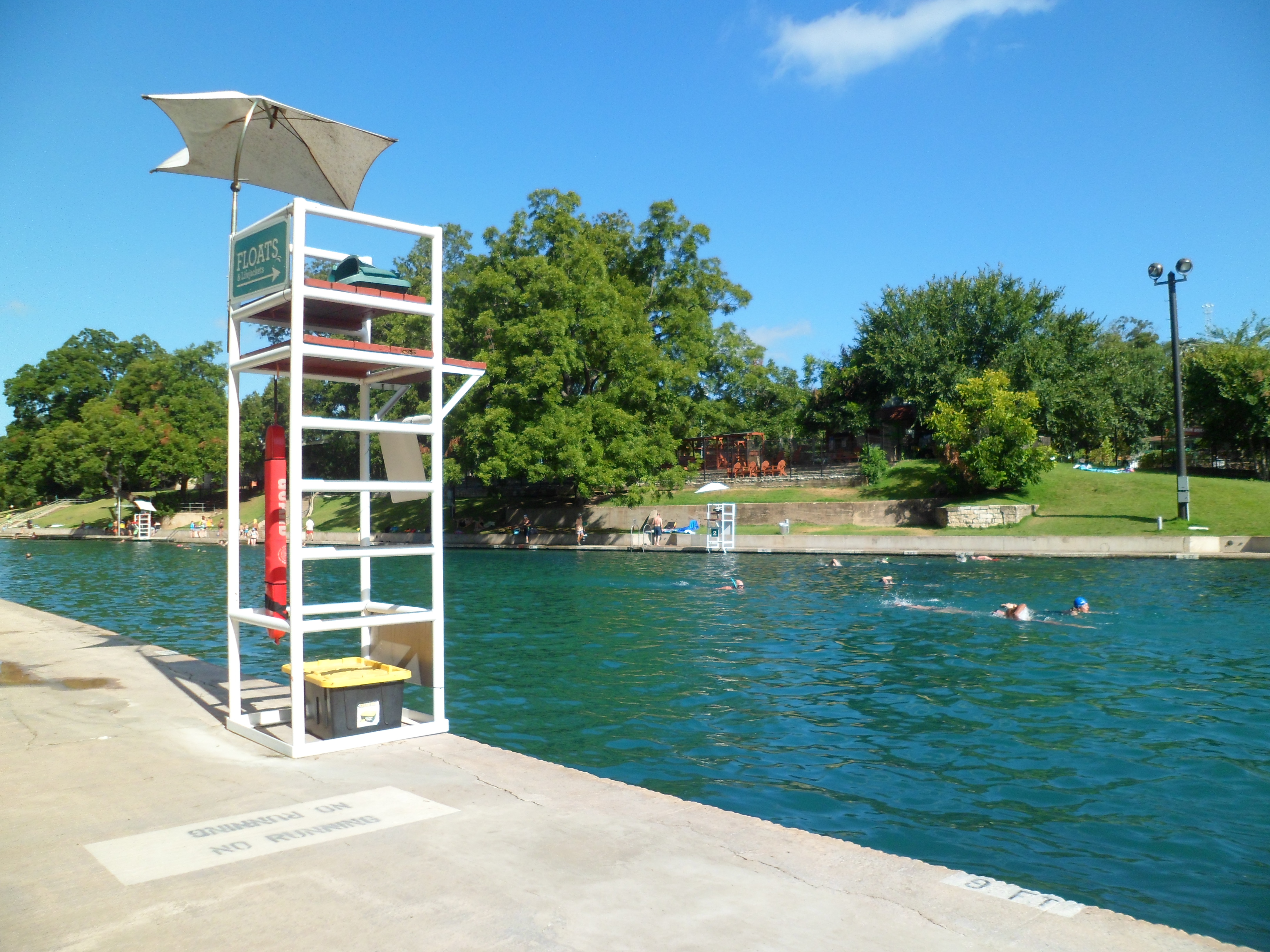
The morning ended with a quick swim in Barton Springs. 68 degree water is cold, but refreshing.

Wild Basin 8/1/15
Saturday, August 1, 2015
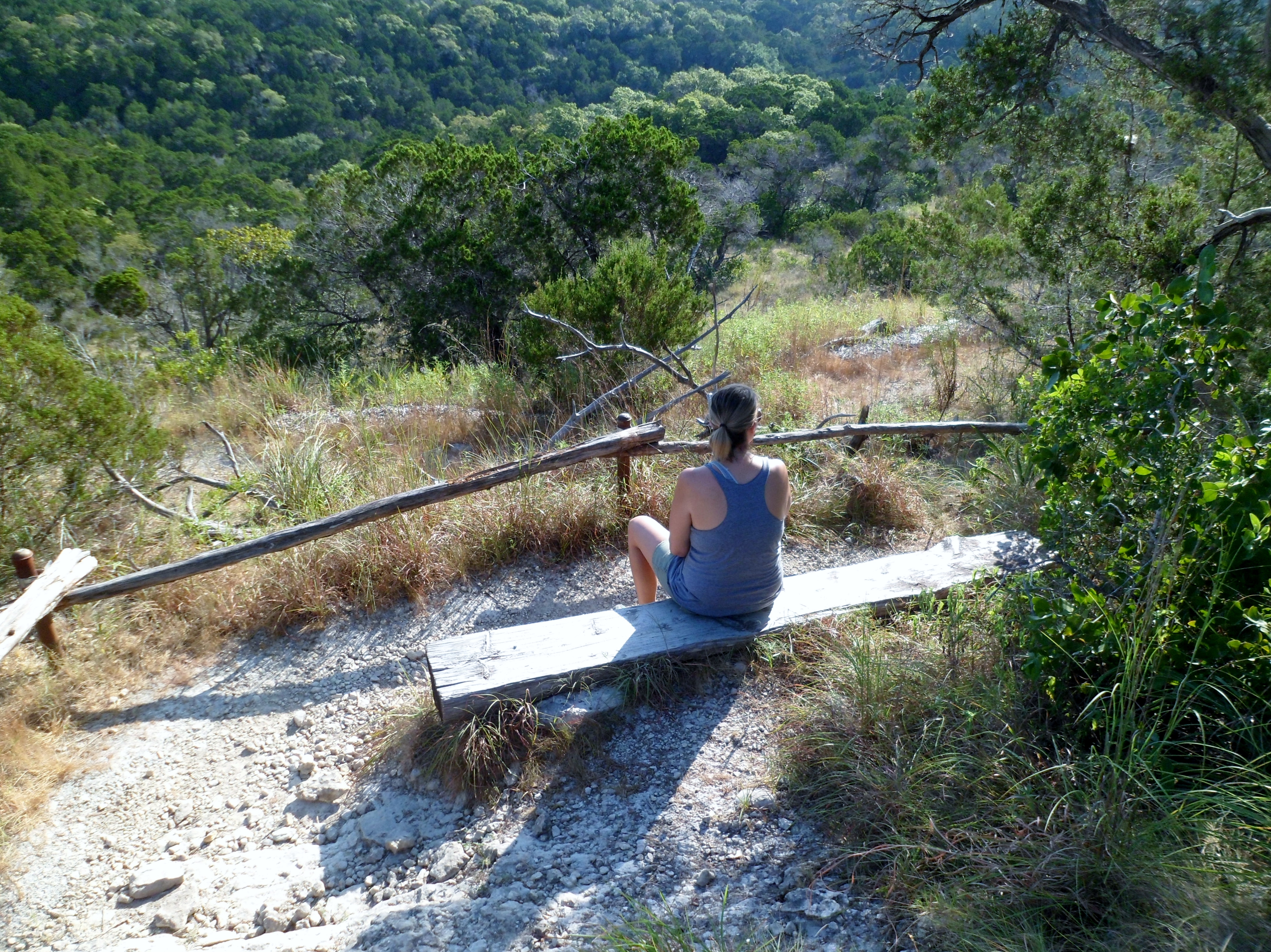
Hike: Wild Basin, Austin, TX
Weather: warm, low 80s, clear
Hikers: Ian, Court
Length: 1.86 miles
We hit the trail early this morning to try and beat the heat, but the heat came on early anyway. This was Court’s first trip to Wild Basin. We only did the outer loop, so it was a short hike, but we had to get back to the house early and wanted to at least get some sort of a hike in, since we haven’t hiked in almost 3 weeks. The Texas heat is in full force which really puts a damper on hiking, unless you get up really early.

It hasn’t rained in over a month now, so the waterfall is basically non-existent and the trail was very dry. The views were still good though.


We ran into a new problem we had never faced on trail before: biting flies. Huge horseflies that were apparently impervious to DEET. I sprayed one that had landed on Court directly with Off and it didn’t budge. Mean bugs. But they were short lived and we hiked on. It was a very short hike, but enjoyable nonetheless. Hopefully we can get out more in the coming weeks.


We also made a quick stop at the Pennybacker Bridge on Lake Austin on the way home.


Hamilton Greenbelt – Lakeway 7/10/15
Friday, July 10, 2015
Hike: Hamilton Greenbelt – Lakeway, TX
Weather: HOT, mid 90s, sunny
Hikers: Ian, Court, Biff
Length: 3.57 miles
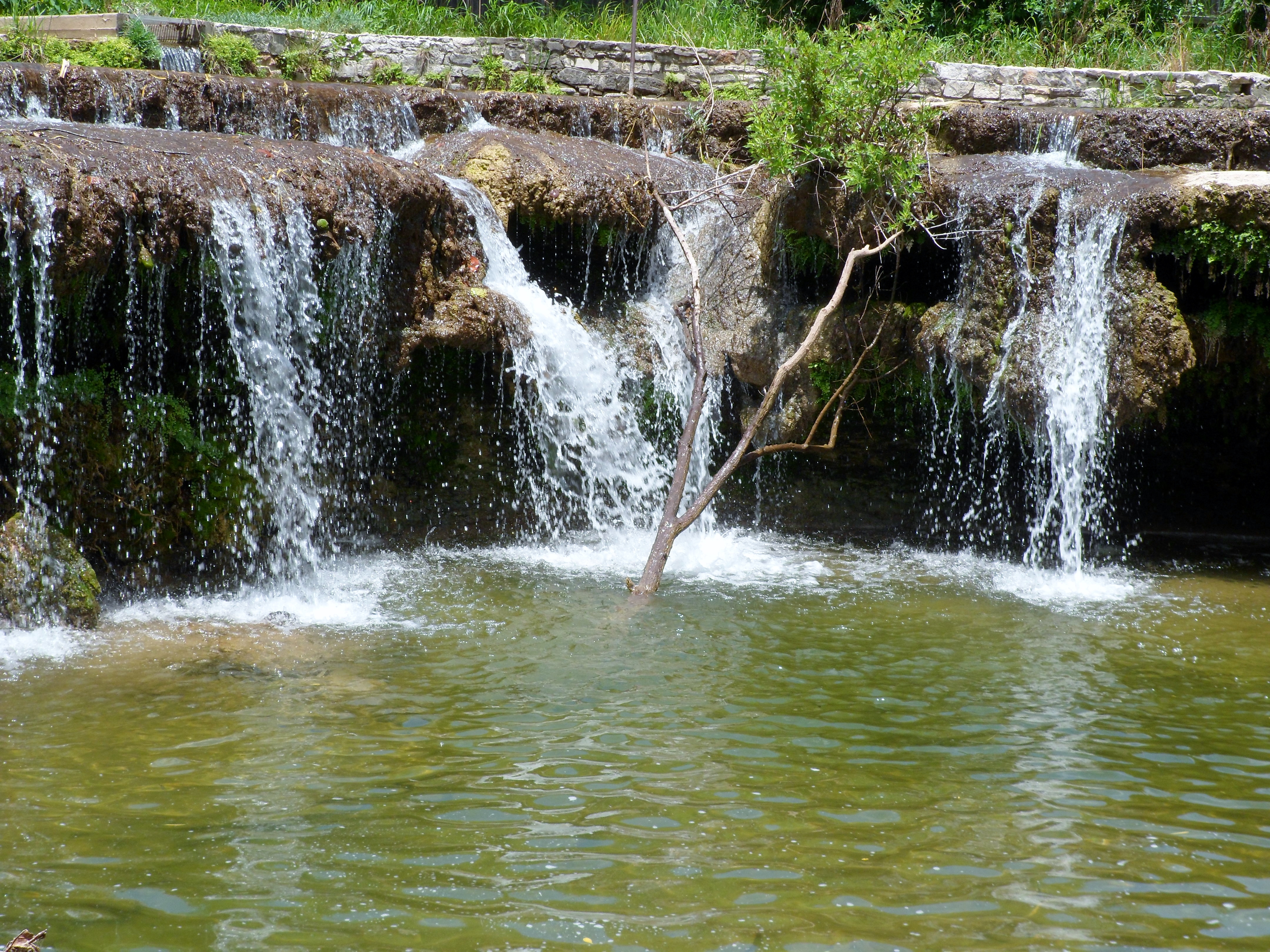
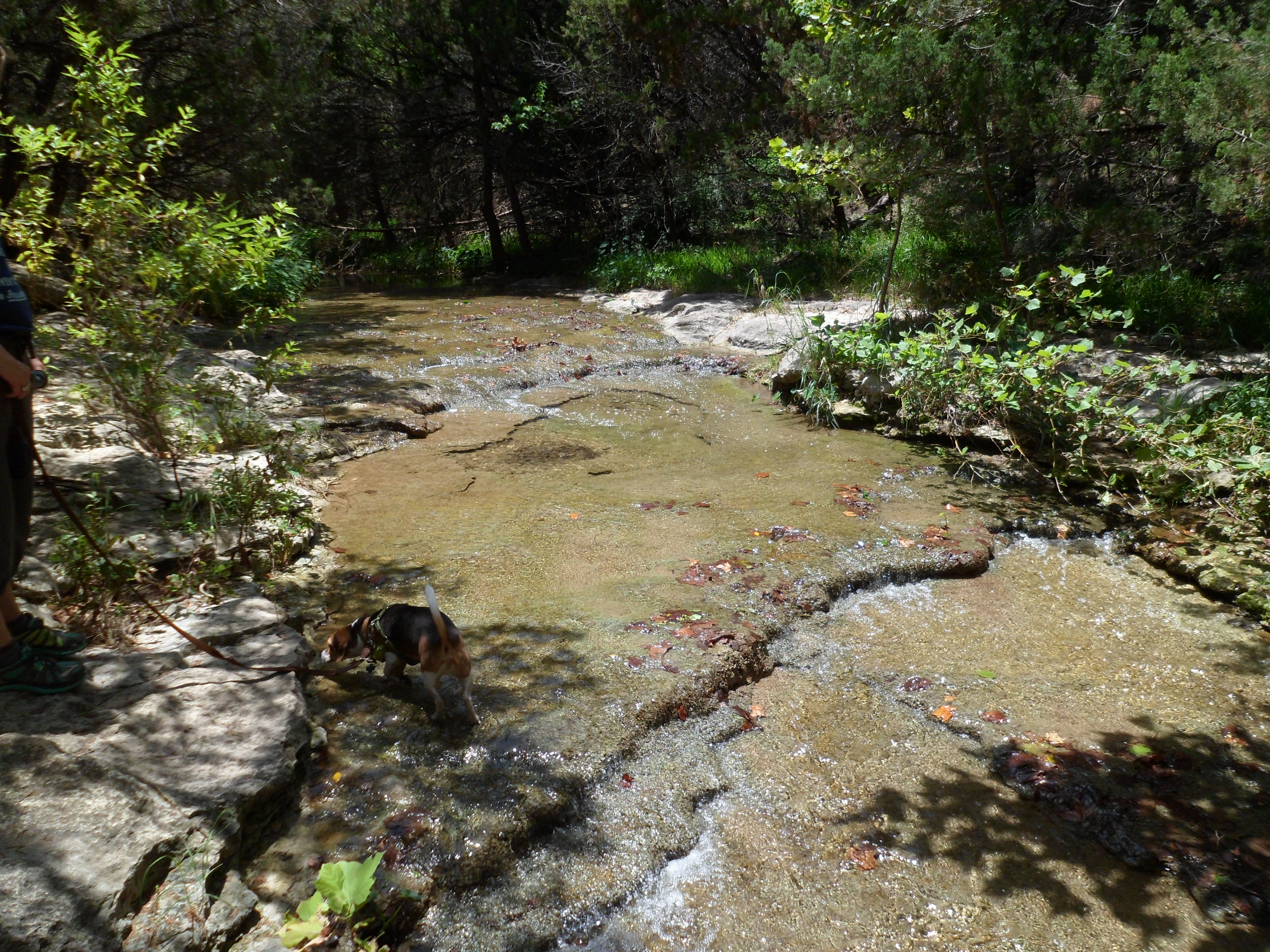
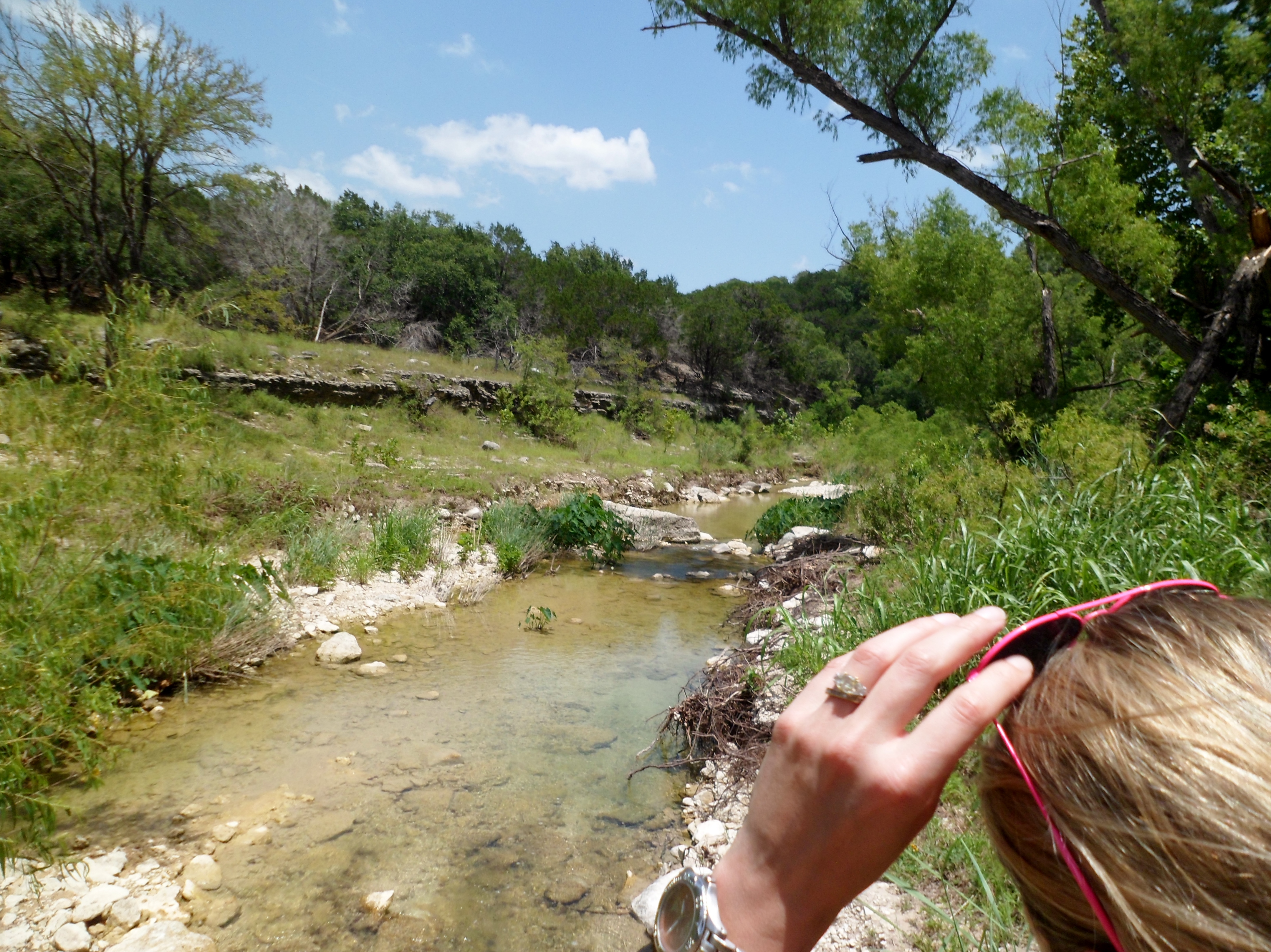
Just when I think we have exhausted all the hiking trails around Austin, we seem to keep finding new options. Courtney found this trail on texashiking.com in the morning and we headed out to Lakeway, but didn’t hit the trail until about 11:30am, way later than normal. Due to this, we had to cut the hike a bit short, as the midday sun was starting to beat us down. Biff loved the water today.


The main trail was wide and made of crushed granite and followed Hurst Creek, which ultimately feeds into Lake Travis. There were a couple of great waterfalls along the main trail and the creek was still flowing well from the recent rains.

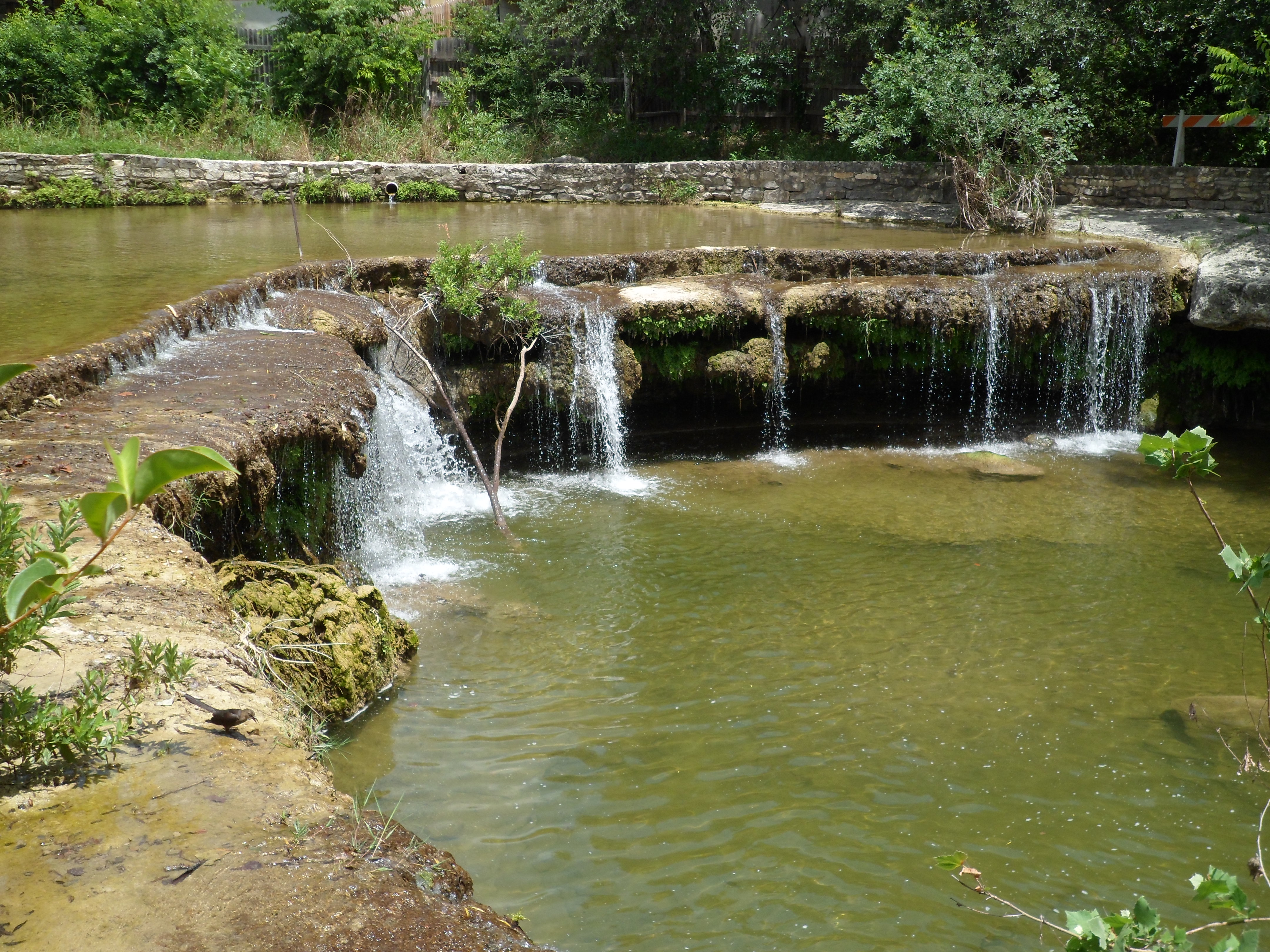
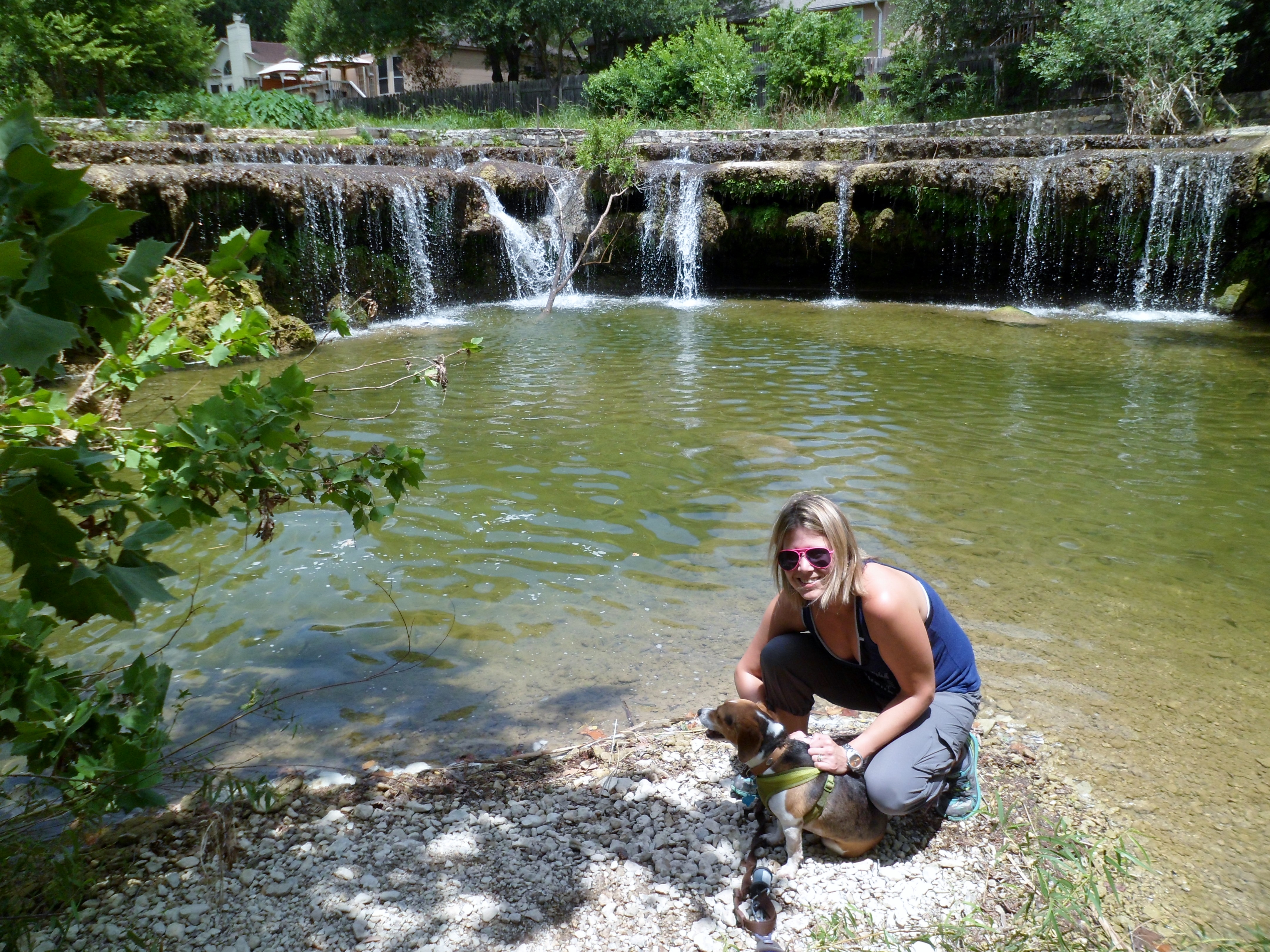
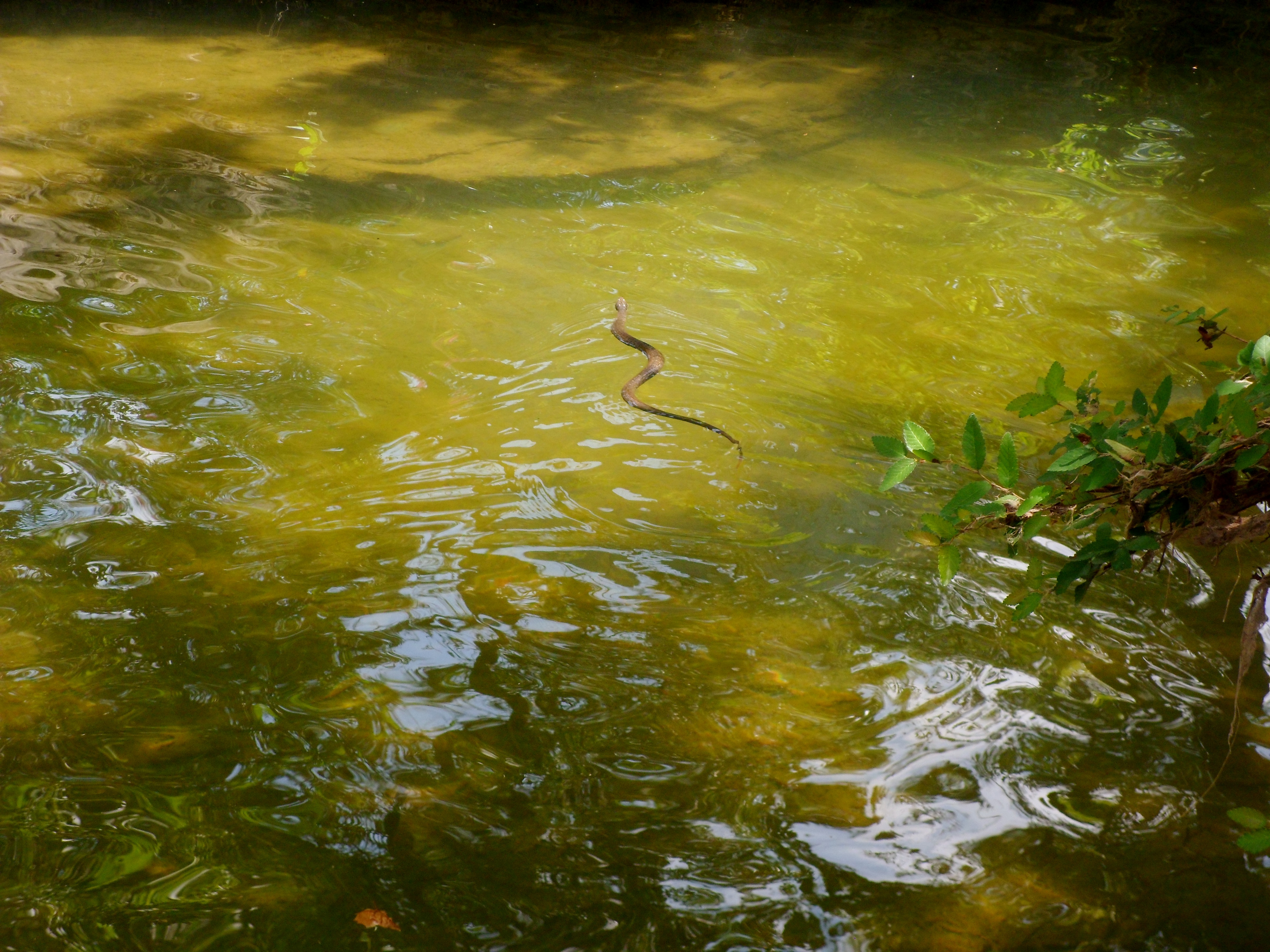
At the biggest waterfall Biff stumbled onto a snake that quickly took to the water and swam off.
There was also a smaller dirt trail that paralleled the main trail and wound deeper into the woods. We chose to follow this dirt trail for a while to stay in the shade. It took us away from the creek for a while and was a nice respite from the other runners and walkers on the main path.

We had stopped for a water break when I noticed a tiny fawn hidden in the tall grass just off the trail. It wasn’t moving and didn’t seem scared, allowing us to get within a few feet of it. We weren’t sure if it was injured or if its mom had just stashed it there and was coming back for it later. I’m choosing to believe the latter and that the little guy was safe and sound after we left.


The trail came back to a smaller creek that fed into the main creek and we took our shoes off and waded a bit and ate a small lunch of watermelon and cantaloupe. It was beautiful.


One of the best things about this greenbelt is the myriad side trails that take you to some nice hidden spots. We found one that went down into a canyon and felt totally different from the rest of the greenbelt. There was another creek in the canyon with lots of fish and we also saw a huge blue heron or crane, not sure which, flying overhead, but I couldn’t get a picture.

It seems that summer has finally hit Texas, and as the sun continued to wear on us, we let Biff cool off in the creek again and decided to head back to the trail head. We left about another 3 miles of trail to be explored for another time. We will be back, but in the early morning when temperatures are more manageable. This trail was a great find though.


Onion Creek Trail – McKinney Falls State Park 7/4/15
Saturday, July 4, 2015
Hike: Onion Creek Trail – McKinney Falls St Park, Austin, TX
Weather: warm, humid, low 90s, mostly sunny
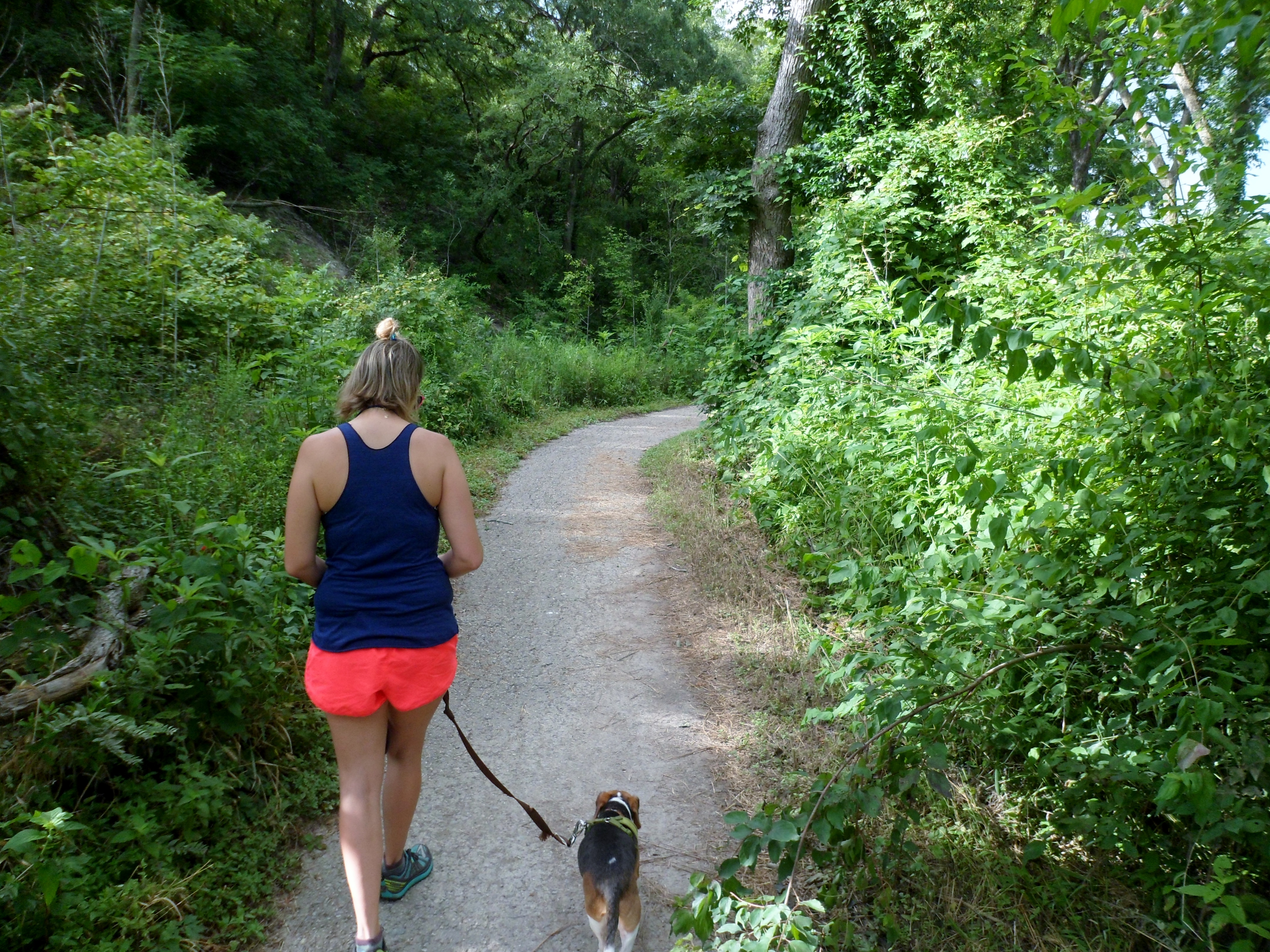
Hikers: Ian, Court, Biff
Length: 3.96 miles
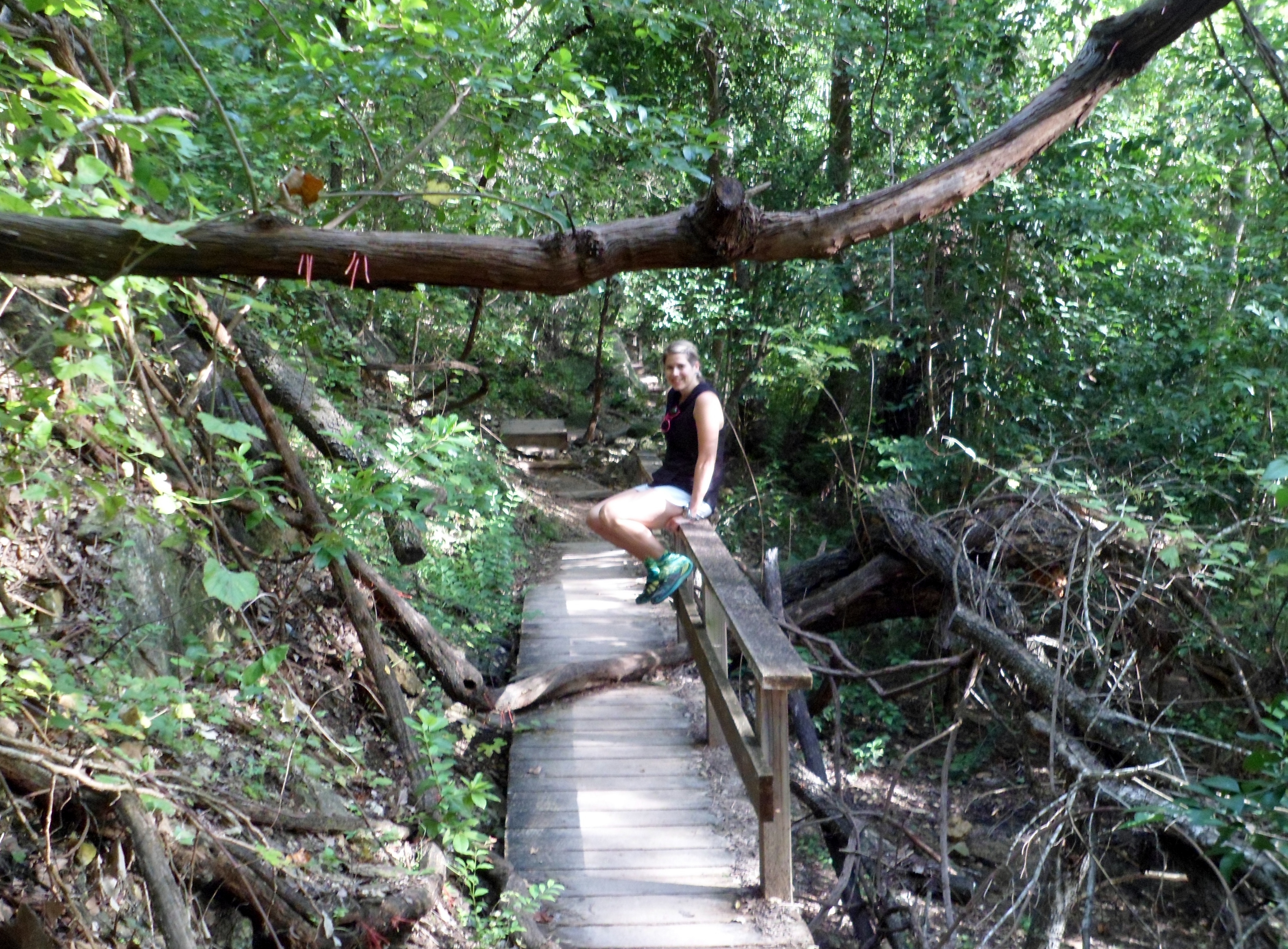
For the Fourth of July we got out to McKinney Falls around 8:30am, and not a moment too soon because it got packed today. The falls were flowing pretty well, but unfortunately there had been some people from the night before who had really trashed the place out. At one point there was literally just a pile of garbage next to a picnic table. Couldn’t even be bothered to put it in a trash bag. Just giant pile of trash. Ridiculous. Aside from that, the falls were very pretty, both upper and lower.


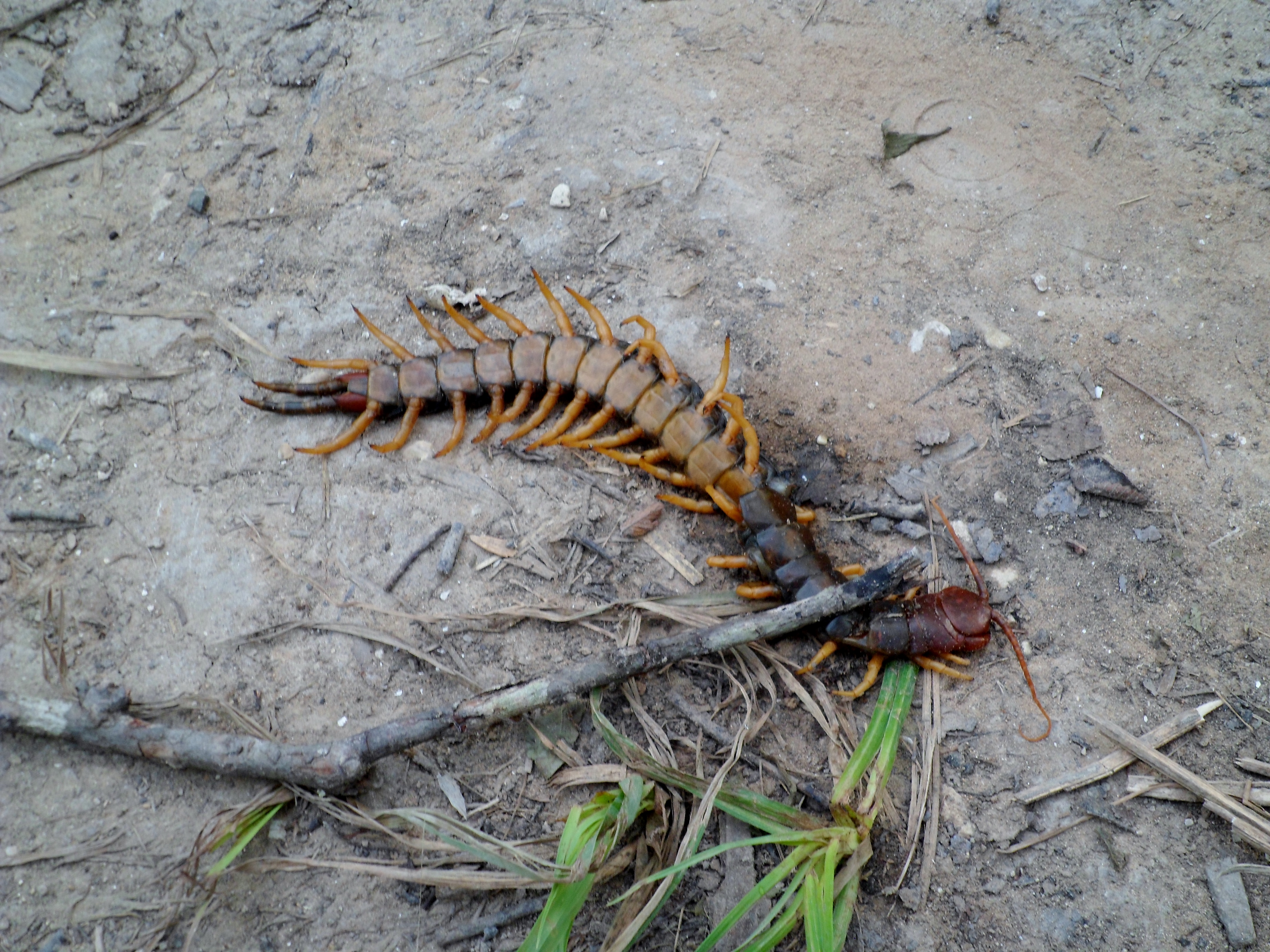
The actual Onion Creek Trail is just ok. It is paved the whole way, but does wind through the woods for a good way and has its moments. There is another trail on the other side of the river that is more of a hiking trail, but the water is too high to get to it right now. So there weren’t too many pictures today, but it was still a decent little hike. We did see a huge Texas Redheaded Centipede by the water. It had been cut almost in half by something, but was still barely alive. It was probably about 8 inches long. Pretty crazy looking.


Panther Trail/Canyon Trail – River Place 6/26/15
Friday, June 26th, 2015
Hike: Panther Trail to Canyon Trail including Little Fern Trail, River Place, Austin, TX
Weather: HUMID, warm, clear skies, upper 80s/low 90s
Hikers: Ian, Court
Length: 6.78 miles

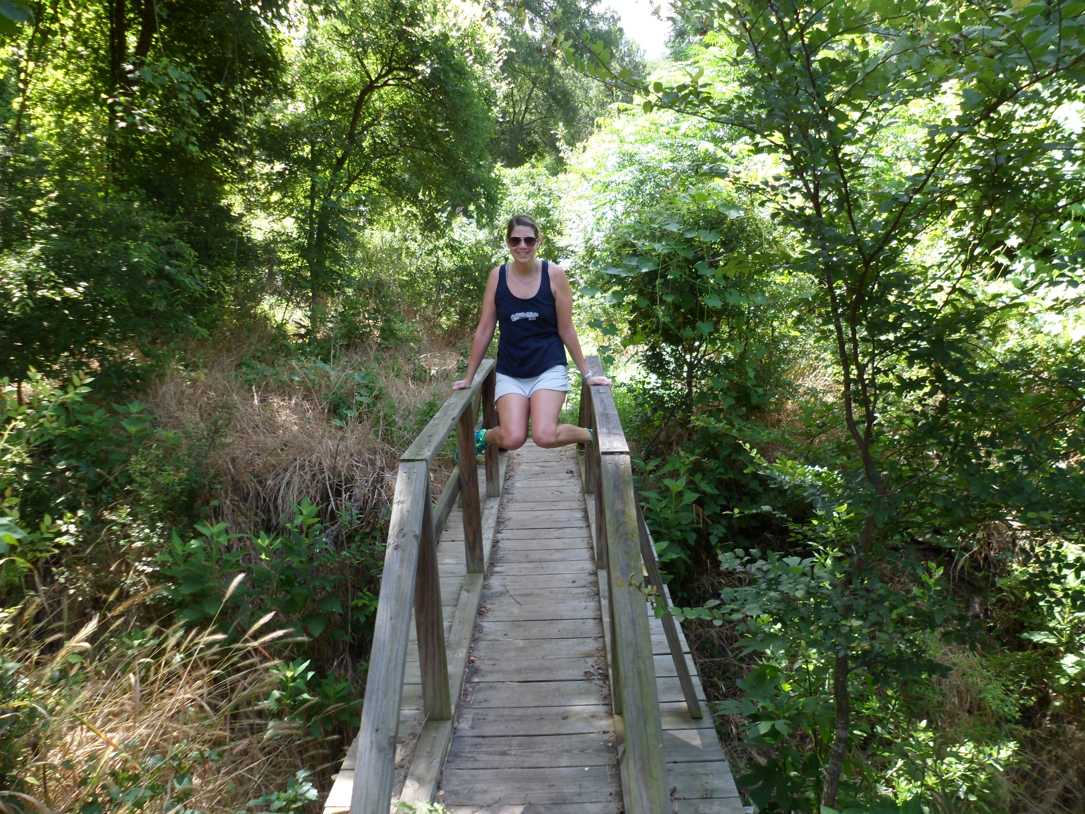
I had heard about this trail a while back, but it was closed at the time, due to some issues surrounding land management and rights. Our friend told us that it had been opened back up and I had always heard good things, so we set out to hike the trail on Friday morning.
After this trail, I am confident in saying it is the best trail in Austin, bar none. It is beautiful, challenging, and diverse, with some extremely steep elevation changes. I took almost 70 photos, but I’ll try and edit myself.
We got out to the trail around 8:30 in the morning. It is an out and back trail and we started at the lower trail head that starts off as a board walk around a pond. This ended up being a good decision, as we both agreed afterwards that starting at the top and coming down would make the return trip a lot harder, due to the elevation changes. Quite the quad burner. At the pond, a solitary swan guarded the entrance, but he left us alone.


We quickly ascended into the woods along the creek and were voraciously attacked by dime size mosquitos, thanks to the rain for the last two months. Luckily, I had a couple of Ben’s DEET wipes, which I learned about from Muk Muk’s blog, and they lived up to their hype. No mas mosquitos. I also learned to not put the used wipes in the top lid with Court’s iphone case, as the DEET ate it up pretty good.


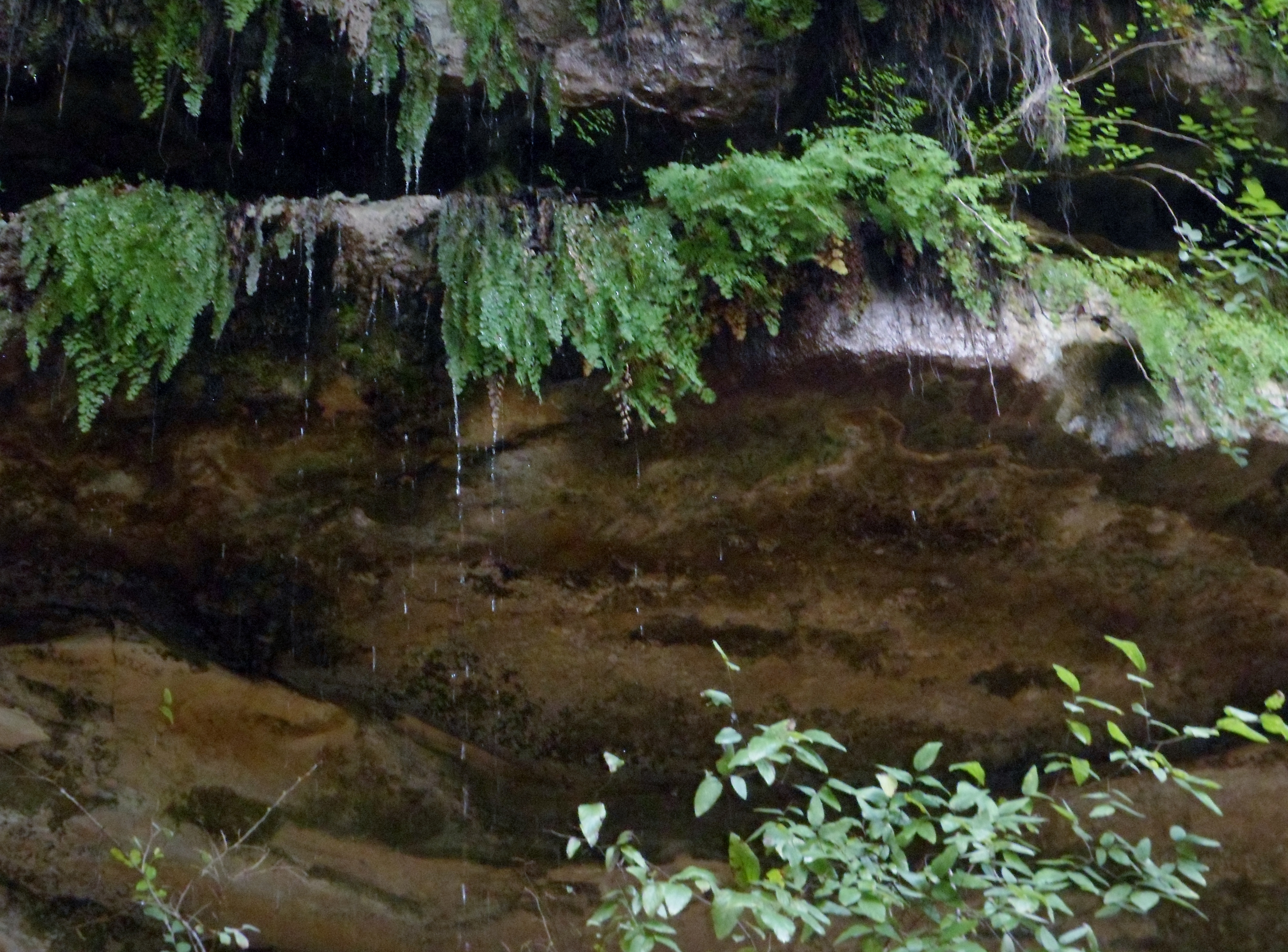
We soon came to a beautiful fern wall dripping water and some rapids in the creek.

Soon after, the stairs started, both up and down. Someone put in a ton of work building this trail and it is greatly appreciated. All of the steps are really well made and the tread of the trail is really good all the way through. All the while the creek got better and better.


The trail became the Canyon Trail (after starting off as Panther) and crossed the creek before starting a really long, steep uphill. This was the hardest part of the hike.

We had some good views at the top near the trail head at the other end. We rested and got some food in us to fuel up for the trek back.


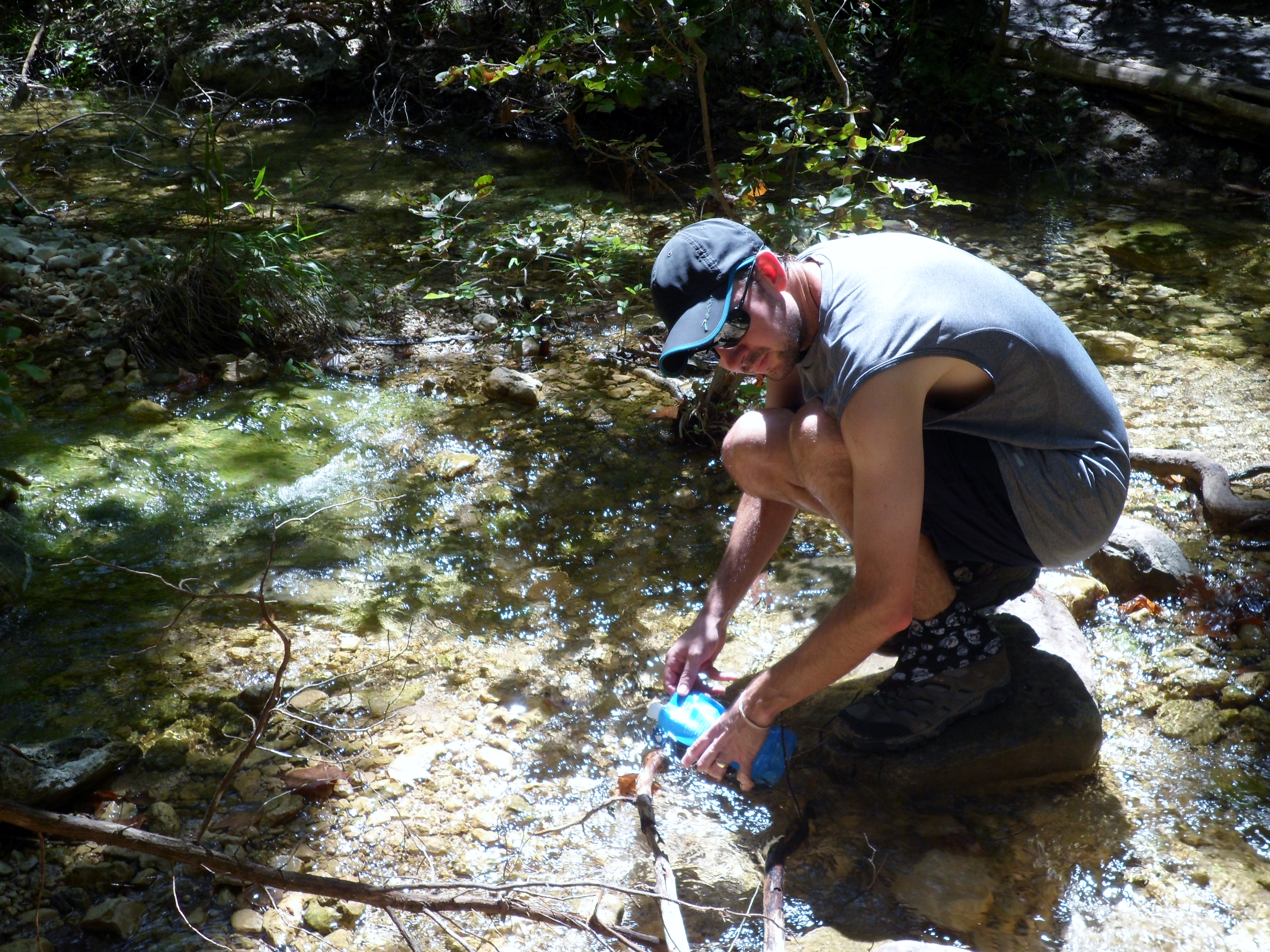
We had almost gone through 2 full liters of water and I finally had good reason to use my Sawyer Squeeze Mini for the first time. It worked like a charm and the water tasted great. Court abstained though. She doesn’t trust technology or something.


We got back to the trail junction with Little Fern trail and followed it up the creek to some gorgeous waterfalls. We hung out next to the big one with a great swimming hole for a while before turning around and heading back to the junction where the two creeks (Panther Hollow and Little Fern) converge.


We headed back to the original trail head and stopped to watch some turtles swimming in the pond. We were both very tired, but very pleased with this trail. It reminded me a lot of some of the trails in Oregon I have done. Did not feel like Texas for a lot of it. We’ll be back.


Wild Basin 6/20/15
Saturday, June 20th, 2015
Hike: Wild Basin, Austin, TX
Weather: HUMID, overcast, mid 70s
Hikers: Ian
Length: 3.18 miles
Court had gone up to Waco the evening before to visit her PA girls, so I was on my own on this hike. No pets allowed. Sorry Biff.

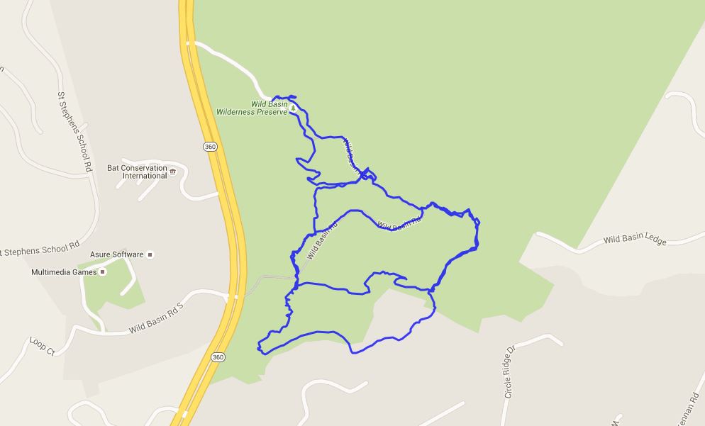
I hit the trail around 8:30am and the parking lot was totally full already. I parked on the side of the drive, which I later realized was actually in a fire lane. My bad. But considering how full the parking lot was, I only saw about 7 or 8 other hikers, mostly bird watchers. Guess they all took their own cars. I haven’t been out to Wild Basin since I was probably in elementary school on a field trip, so this was completely new to me. There are a couple of creek crossings and the trail actually has a couple of steep sections as well.


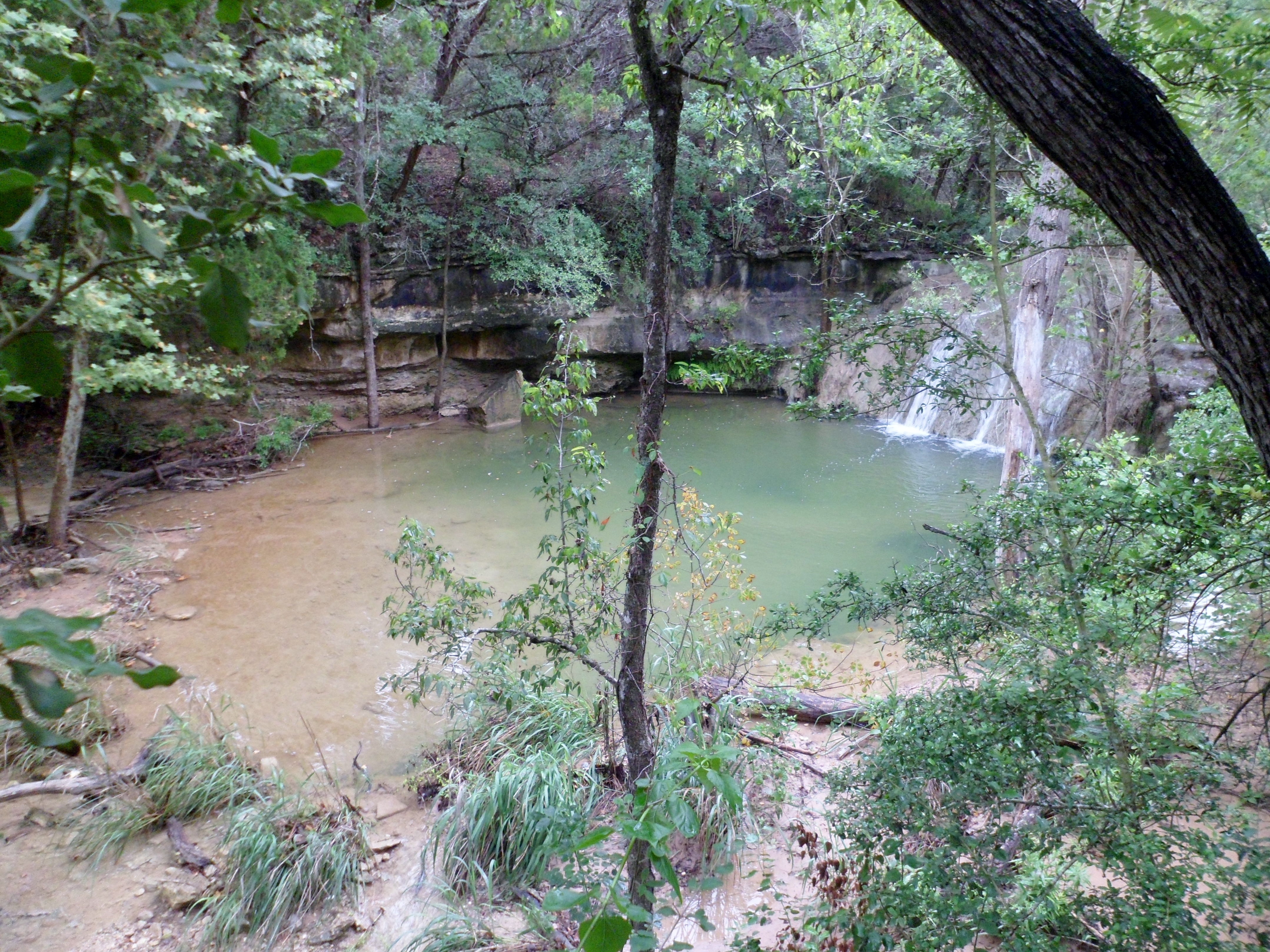
There are several loops you can make through the park and I did them all, save one small connector trail. There are some nice views of the woods of West Austin and then the trail goes down into the valley and to a gorgeous waterfall/grotto. The trail is well maintained and I actually came across a team doing trail maintenance at the end of the hike. I thanked them graciously, as that is hard work. Good views, good trail, overall a fun short hike. I’ll be back.


Greenbelt – Spyglass Trail Head 6/19/15
Friday, June 19th, 2015
Hike: Greenbelt – Spyglass Trail Head, Austin, TX
Weather: rainy, humid, mid 70s
Hikers: Ian, Court, Zack
Length: 2.62 miles


My buddy Zack is in town from Pittsburgh for the summer and we met up with him at Magnolia Cafe on South Congress for breakfast and decided to hit the Greenbelt for a bit. It continues to rain here in central Texas so the creeks are all really high, but the Greenbelt is still hikeable for the moment.
We started at the Spyglass Trail Head off of Barton Skyway, which is the first time I have gone that way. The trail was very rocky, as usual, and the water was flowing really high and fast, but we did find a calmer area with a rope swing and all got in for a swim.


It was a short, but fun hike and the water was probably the highest I’ve ever seen it in my life. Great morning.


A couple of me on the rope swing that Zack shot.


McKinney Roughs 6/12/15
Friday, June 12th, 2015
Hike: McKinney Roughs Nature Park, Wyldwood, TX
Weather: partly cloudy, humid, low 90s
Hikers: Ian, Court
Length: 5.47 miles
We’ve been wanting to hike this park for a long time, but with the heavy rains in May a lot of the trails were closed. With everything dried out we decided to check it out. And this ended up being one of the best trails we’ve done in a long time. Certainly the most well marked.

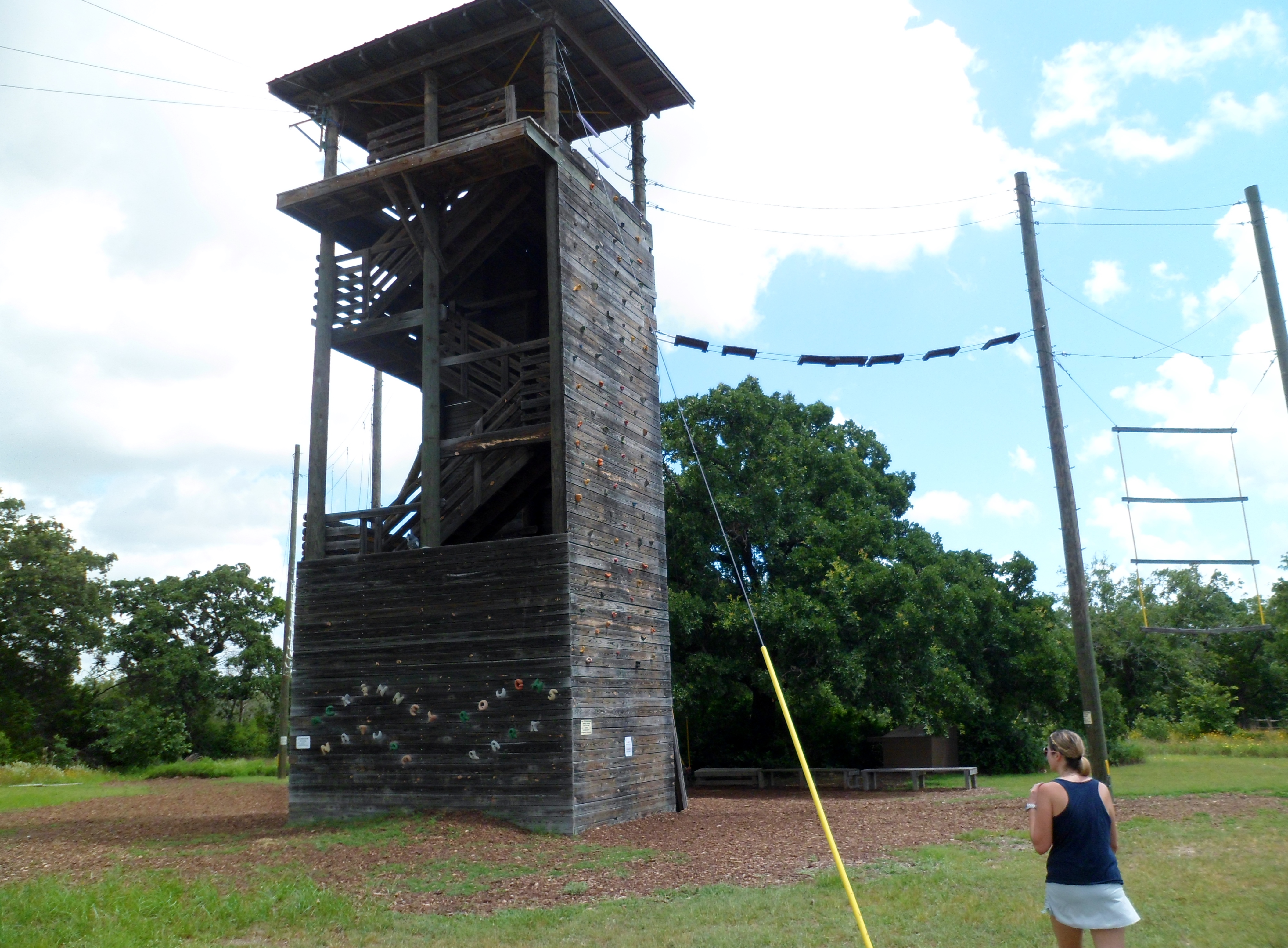
McKinney Roughs is just east of Austin near Wyldwood; just about a 20 minute drive. It is a parcel of land that hugs the south side of the Colorado River and is a great mix of terrain from rocky trails through hardwoods, to riverside mud, to sandy loam, to piney woods. The park also has a summer camp for kids and there is an obstacle course with a rock climbing wall and a ropes course.


We got out to the trail around 9am and started off through the woods. The spider webs were a constant nuisance throughout the day and a spider stick was a necessity to avoid a face full of web, though it still happened frequently. Walking through a spiderweb is one of my least favorite aspects of hiking, but I’m trying to train myself to not freak out when it happens.


We descended down to the river and had a nice breakfast of cherries and breakfast tacos on the banks overlooking some small rapids. At another point on the river, the mud was very thick and Court actually sunk in past her ankle and got her shoe stuck. Thankfully her gaiters stayed connected so she was able to pull it out and then wash her shoe off in the river.


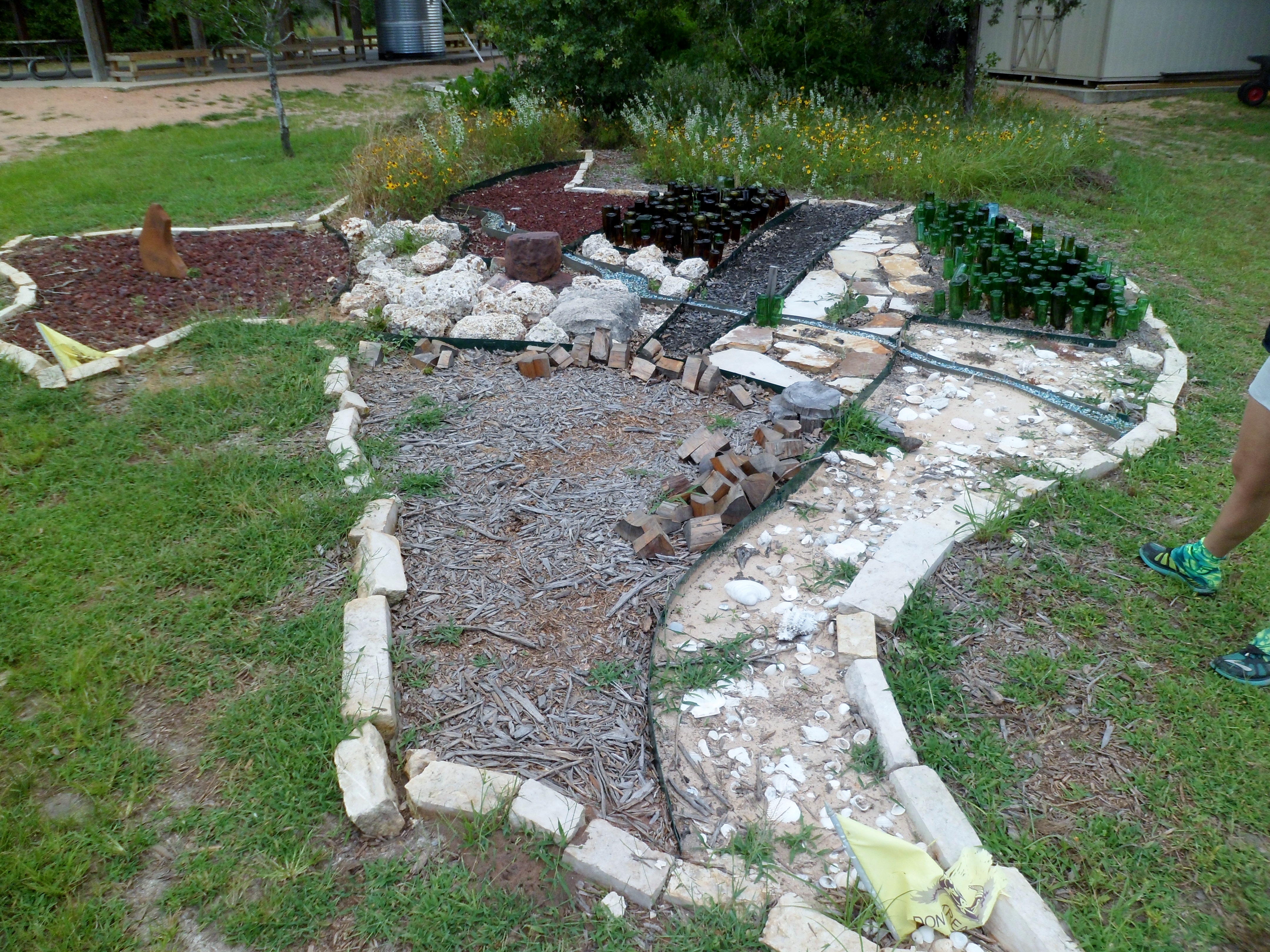
We climbed back up from the river over a ridge, down a valley, and then back up to one of the highest points in the park, the Pine Ridge Plateau. The view was gorgeous. From here, we stayed on the high ground and wound through the pines back to the park headquarters, passing the ropes course on the way. There was also a cool map of Texas on the ground made out of natural materials and glass bottles that I’m guessing the campers made. Green bottles for the piney woods in East Texas, seashells and sand on the coast, and the Colorado River running through the middle.


There are still plenty of trails to be explored in this park and we will certainly be back for more soon. The Lower Colorado River Authority runs this park and does a phenomenal job maintaining the trails and providing educational material and activities for kids. Well done LCRA.


Pedernales Falls State Park Overnight – 6/2 – 6/3/15
Tuesday and Wednesday, June 2-3, 2015
Hike: Pedernales Falls State Park – Various Trails, near Johnson City, TX
Weather: clear overnight, warm – hot and sunny the next day
Hikers: Ian, Court, Biff
Length: roughly 6 miles total
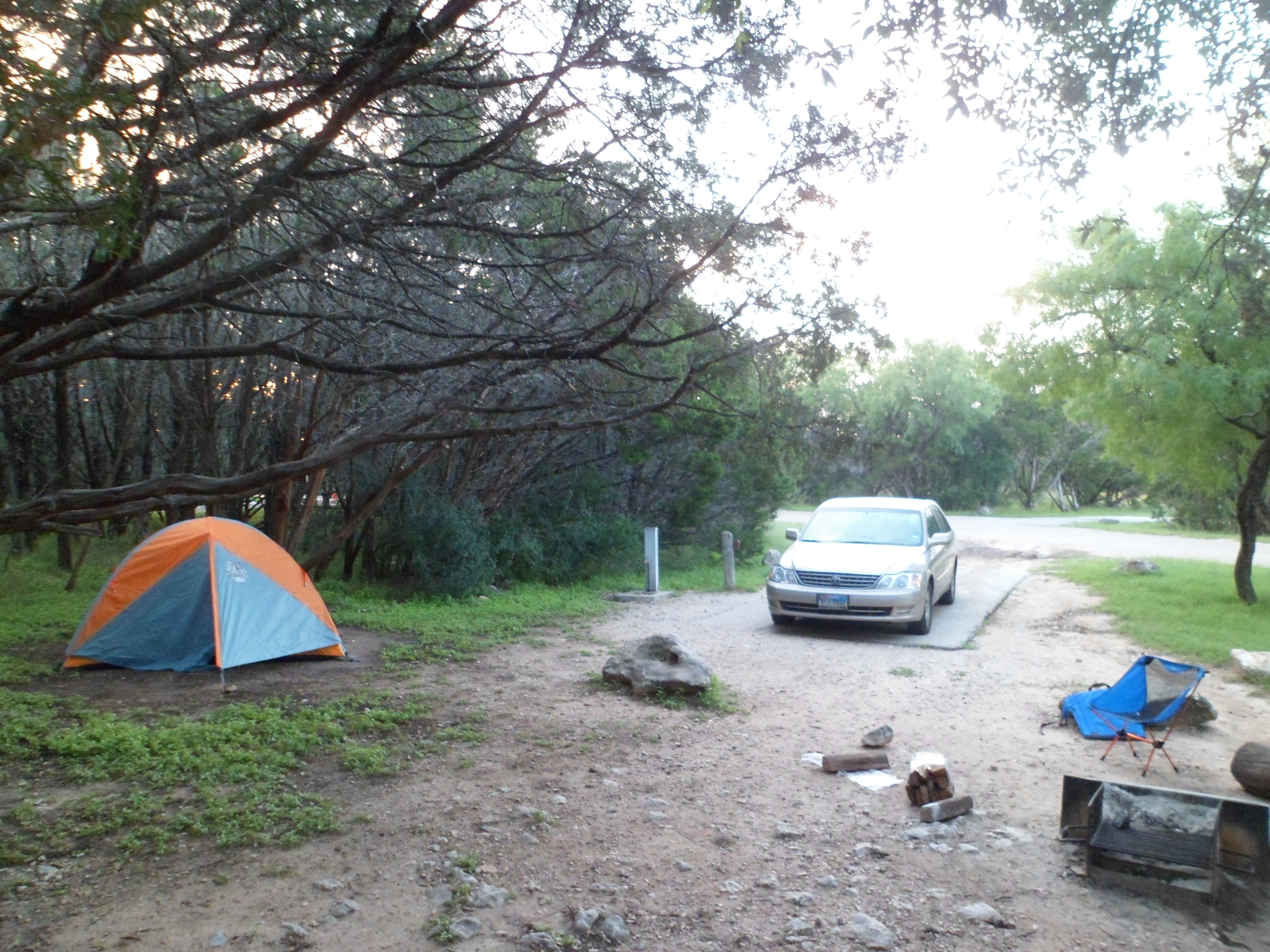
Courtney decided for my birthday we should go camping back out at Pedernales and I couldn’t agree more. I was turning 33 on June 3rd, so she picked me up at work with Biff and a packed car and we headed out to the park to get camp set up before the sun set.
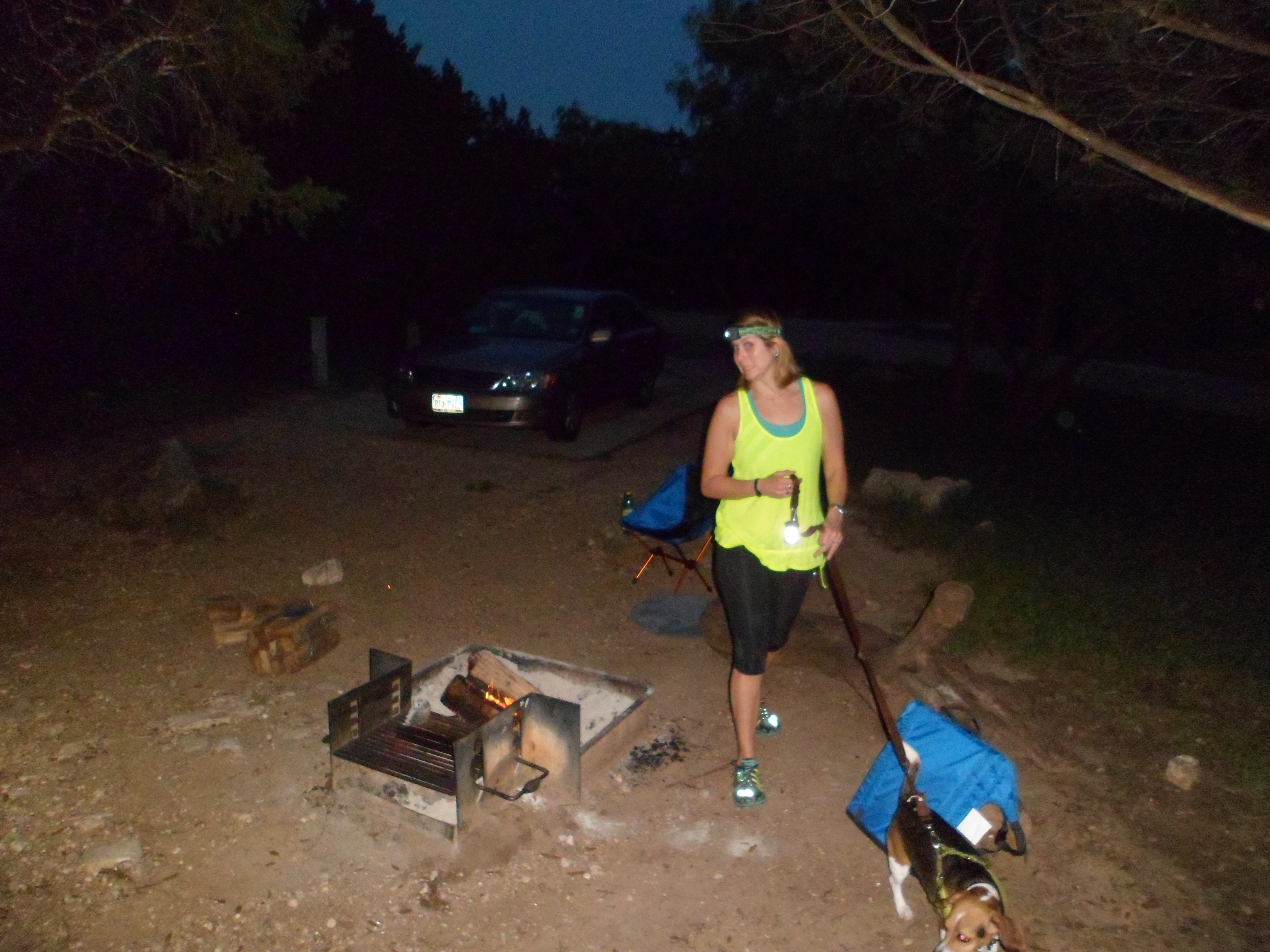
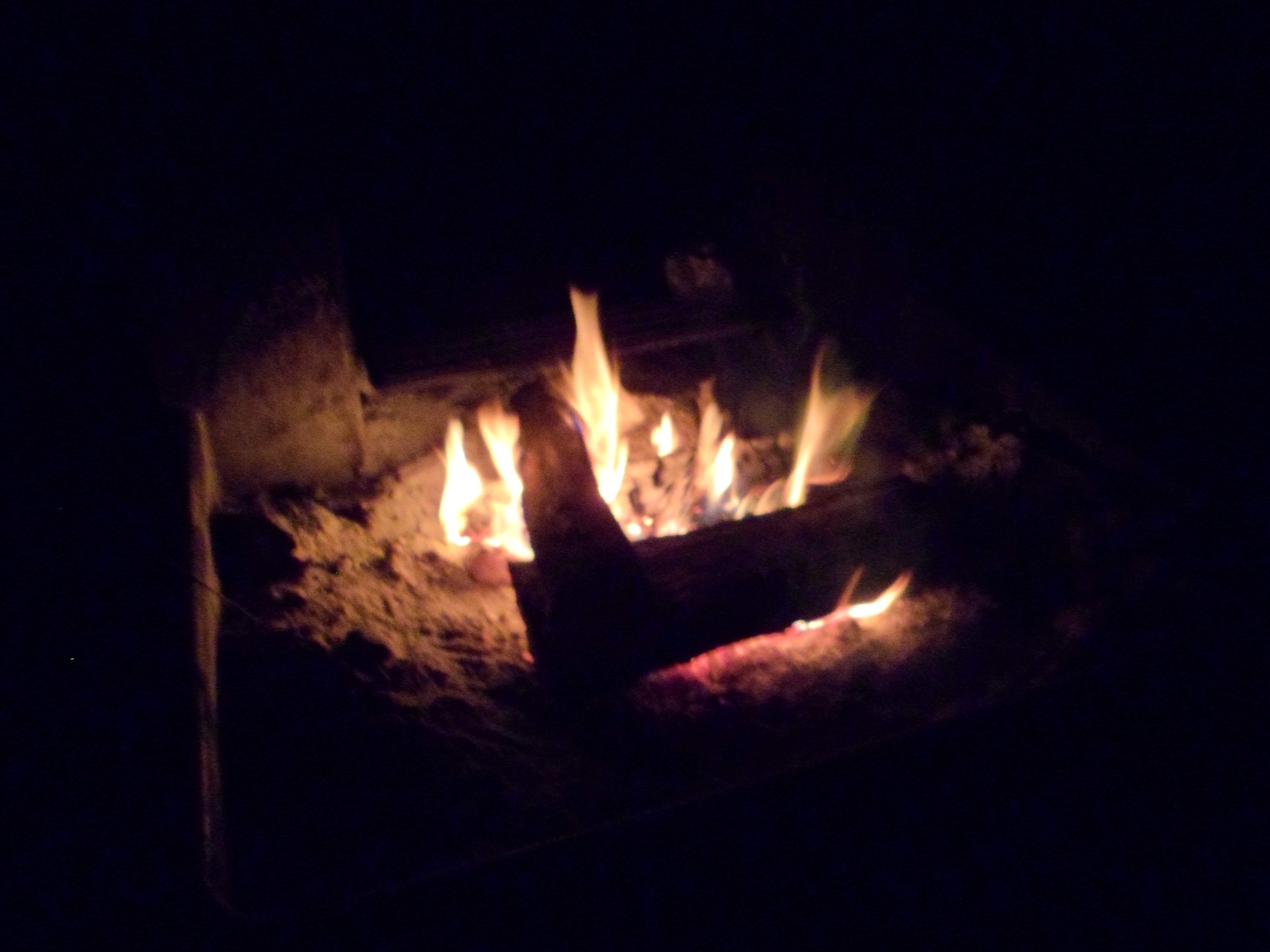
This was our first night in our new tent, the Marmot Limelight 3P. It set up easily and was very comfy for the two of us and Biff. As with most three person tents, no way would this be feasible with three normal sized humans. But for two it was great. We started the fire and Court had brought penne noodles to boil and had also packed homemade suga to go with it. One of my favorite meals and my birthday request.


After dinner we sat around the fire for a short while, listening to the screaming high school kids who were out there on some sort of chaperoned outing. Eventually we had enough and went to the tent to read before hitting the sack.
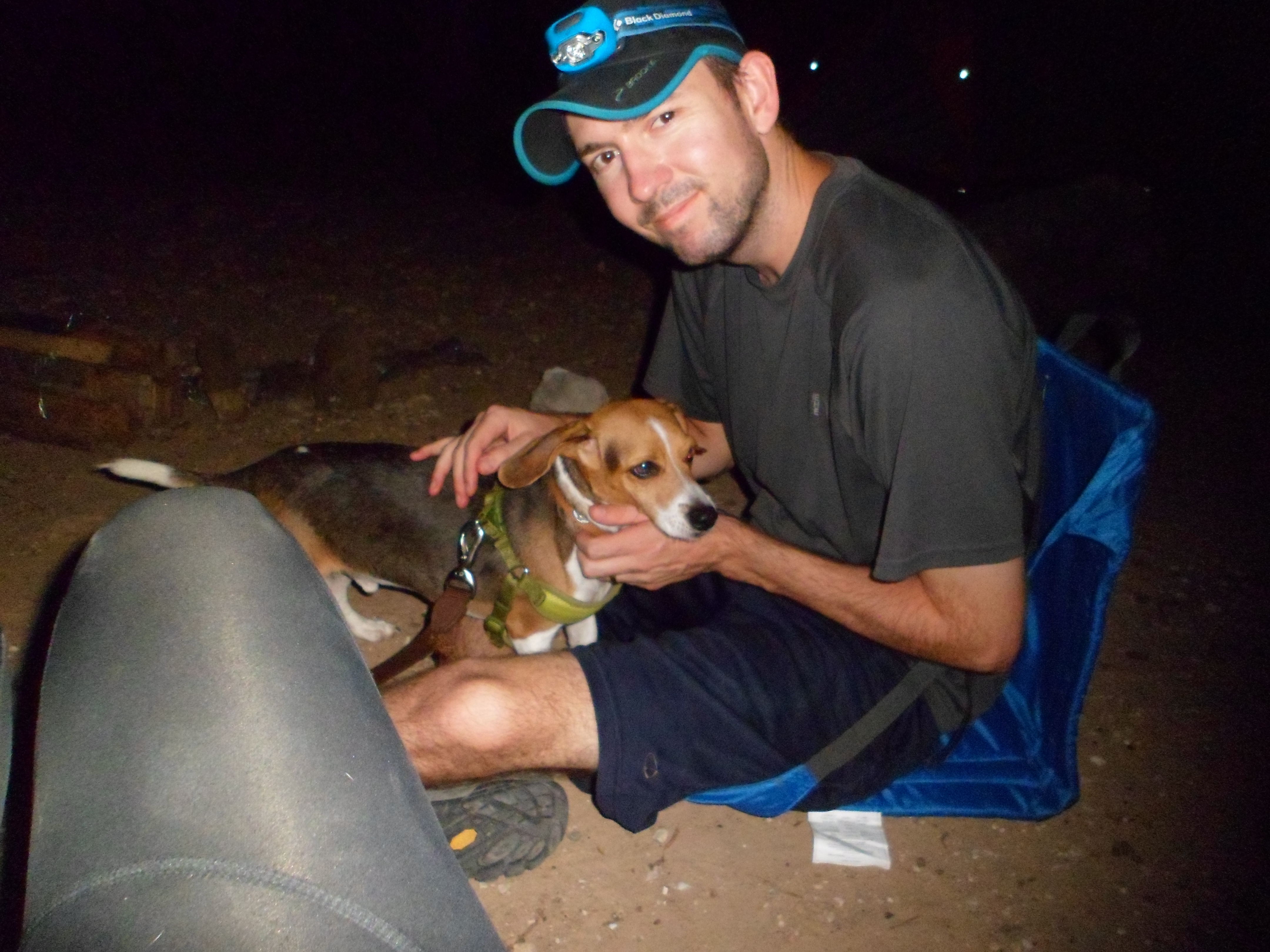
The next morning we woke up with the sun and boiled water for coffee. Gonna have to get more of those Jiva cubes because they rock. Biff reiterated the fact that he is not to be left off leash around camp. As a couple was taking their dogs on a morning stroll, Biff decided to go barking mad and rushing up to them. Hate when he does that.


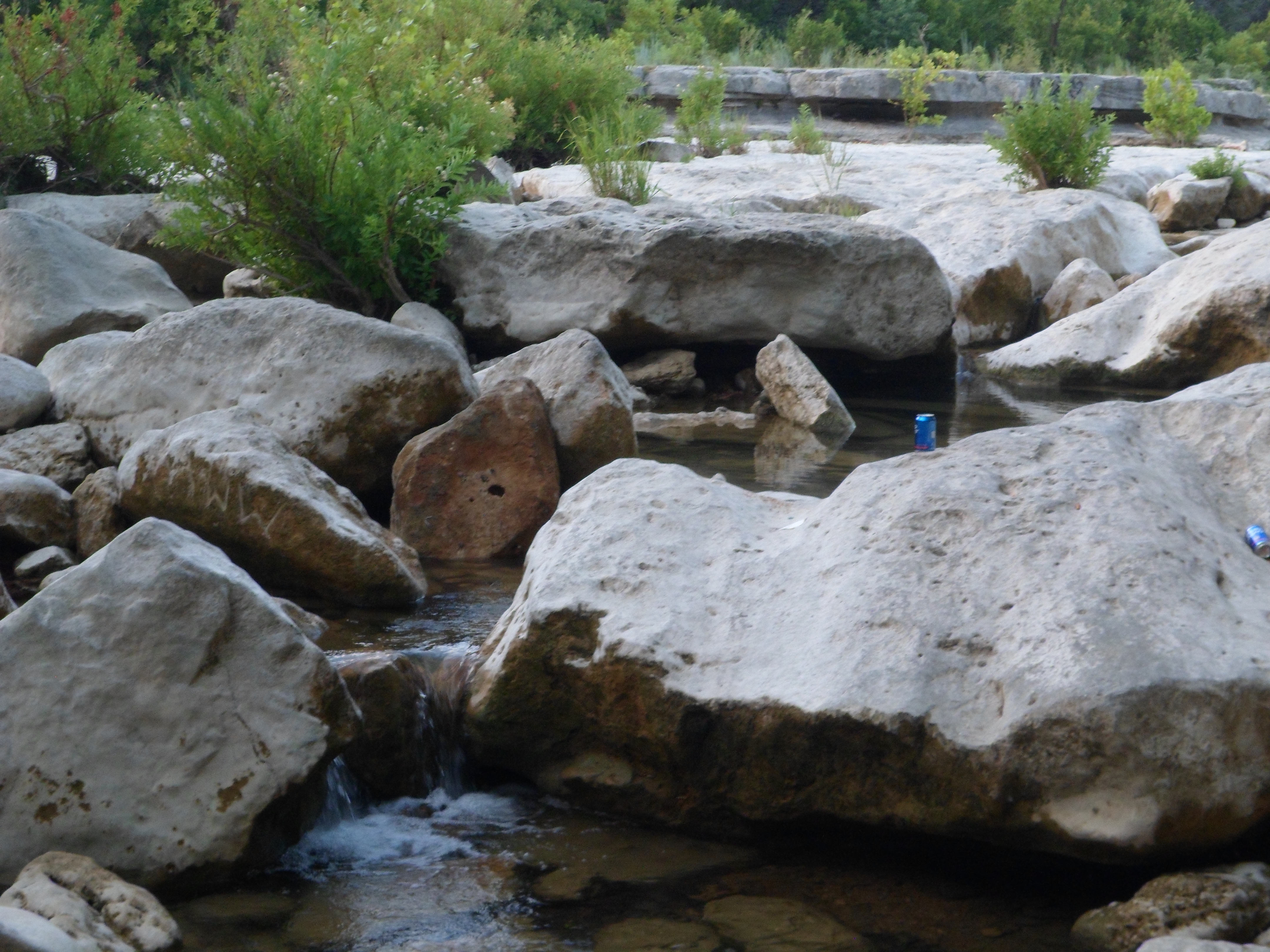
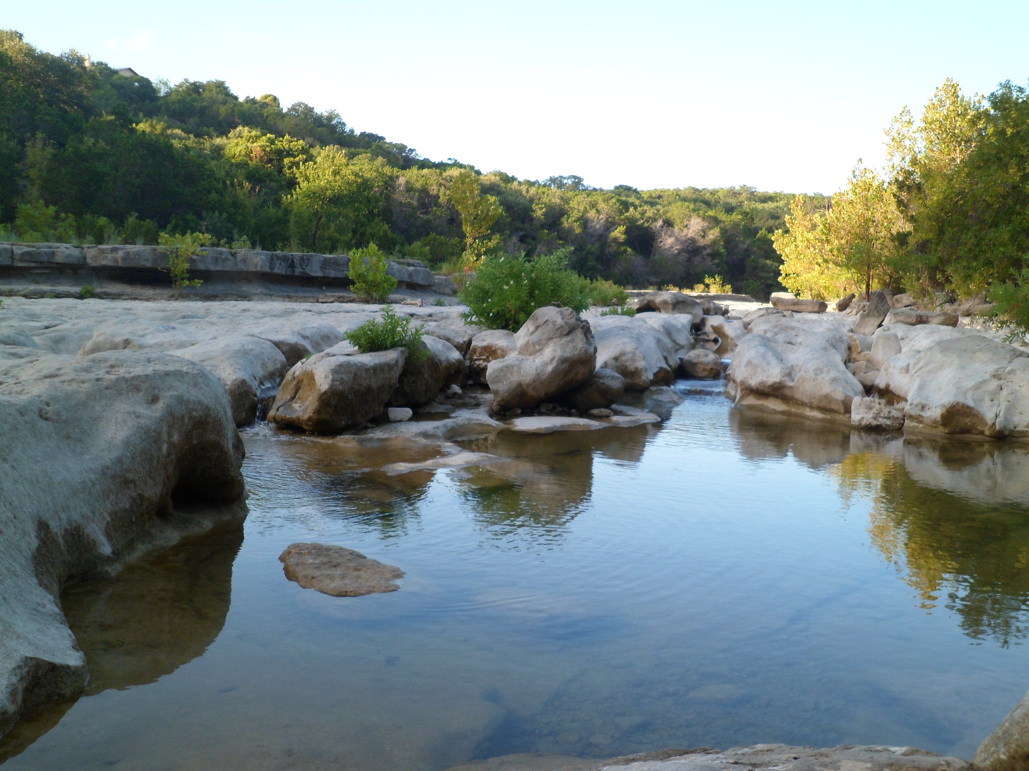
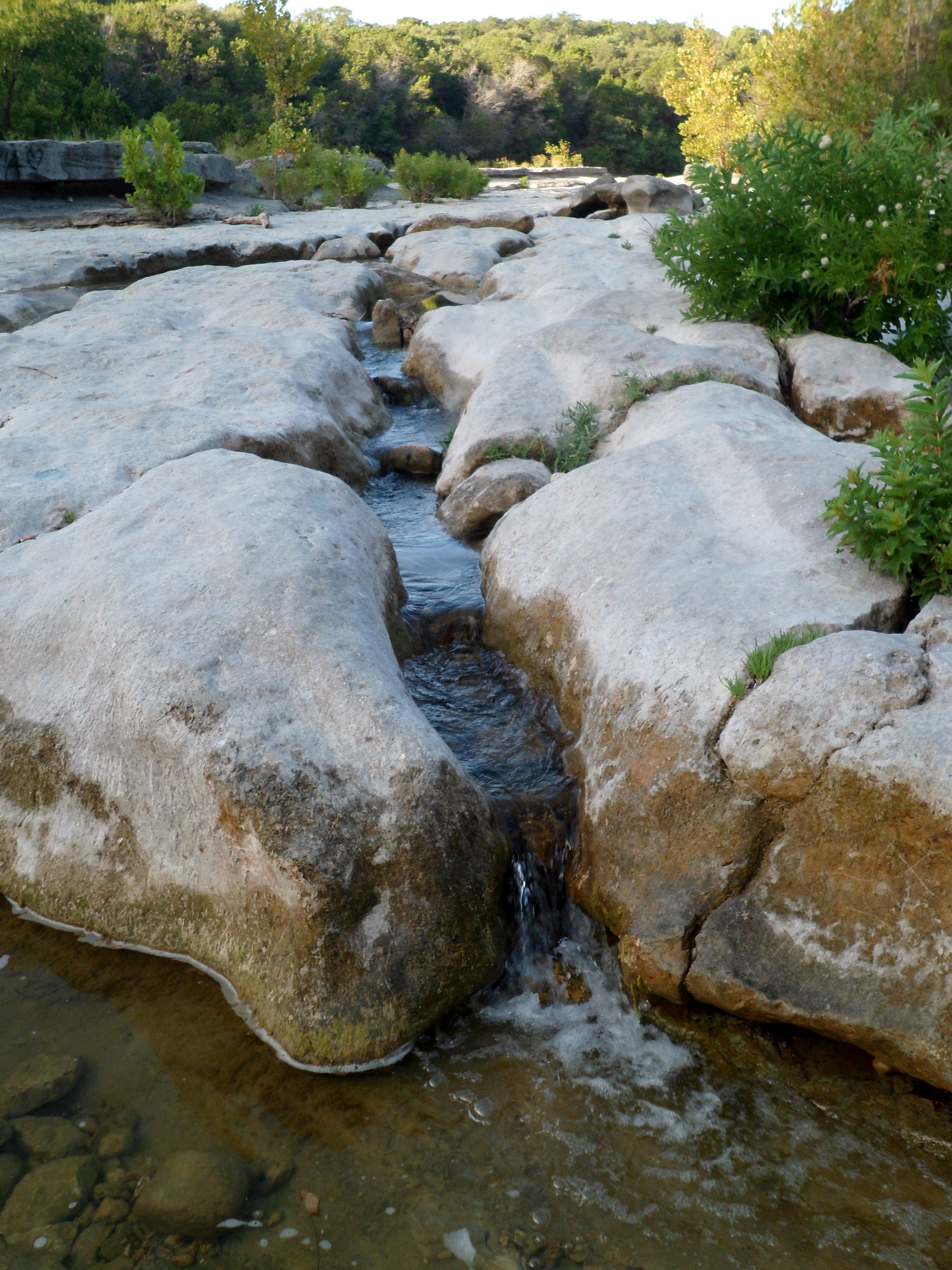
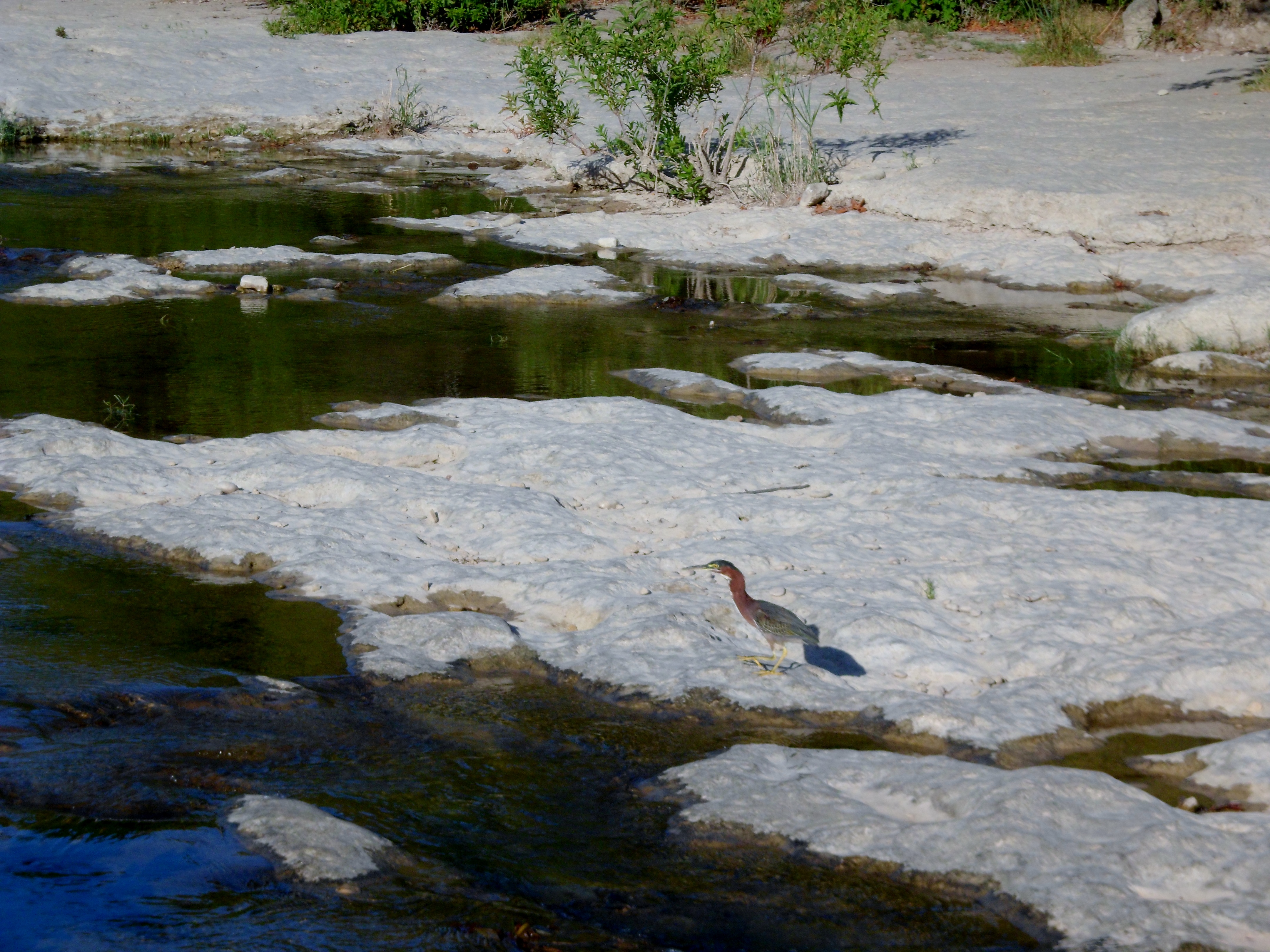
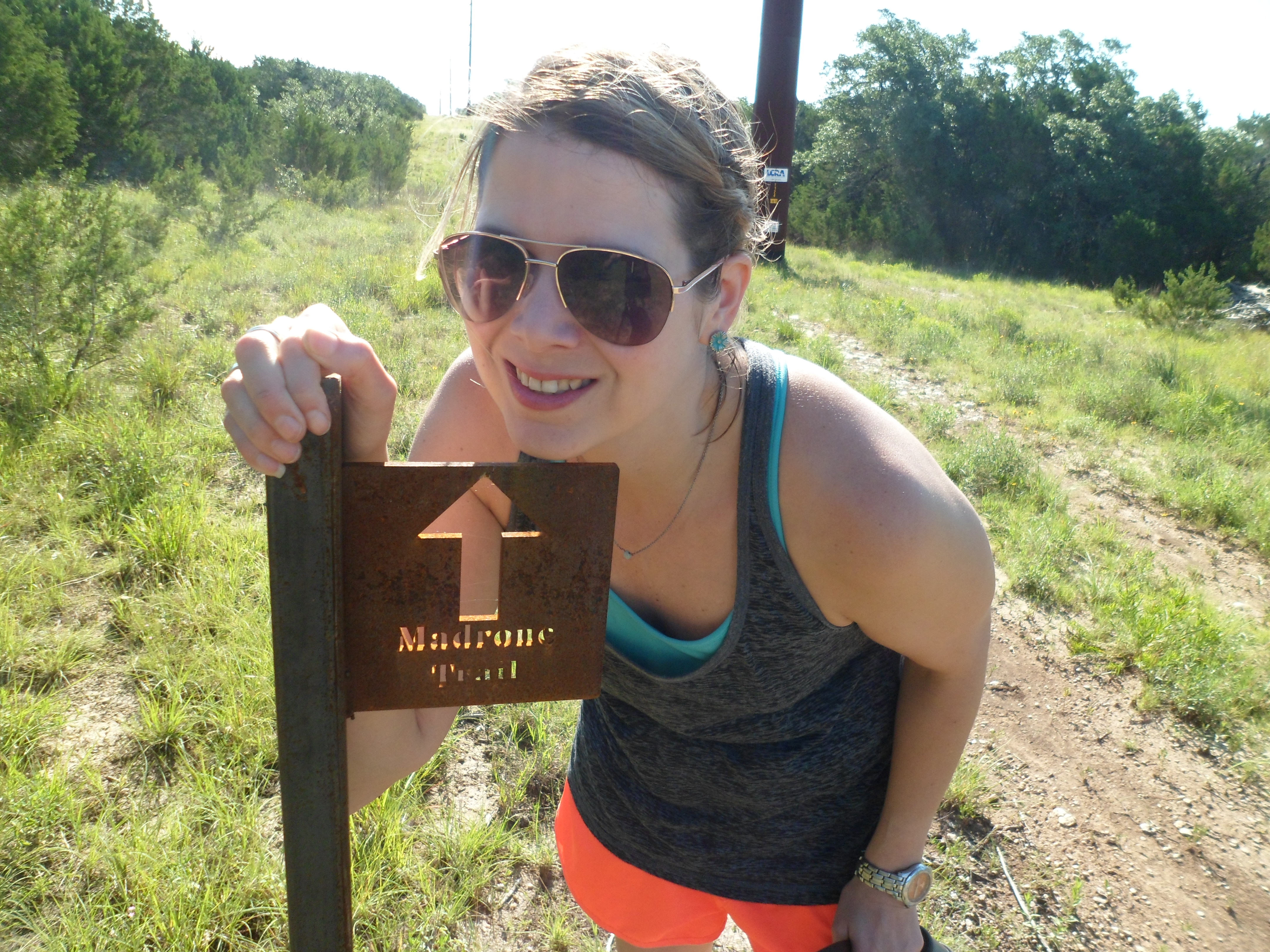
After checking out the falls, which are flowing really high right now due to crazy Memorial Weekend rains, we headed up to the ranger station to officially check in since we had arrived after closing time the day before. We had originally planned on hiking the Wolf Mountain Trail, but reviews of it online were not that good and said it was more of a wide jeep trail most of the time. Luckily, the rangers told us that there were two brand new trails that had just recently been completed, the Madrone and the Juniper Ridge, both on the south side of the park that were probably more our style. So we headed down and found the parking lot, which was actually outside of the park boundaries.
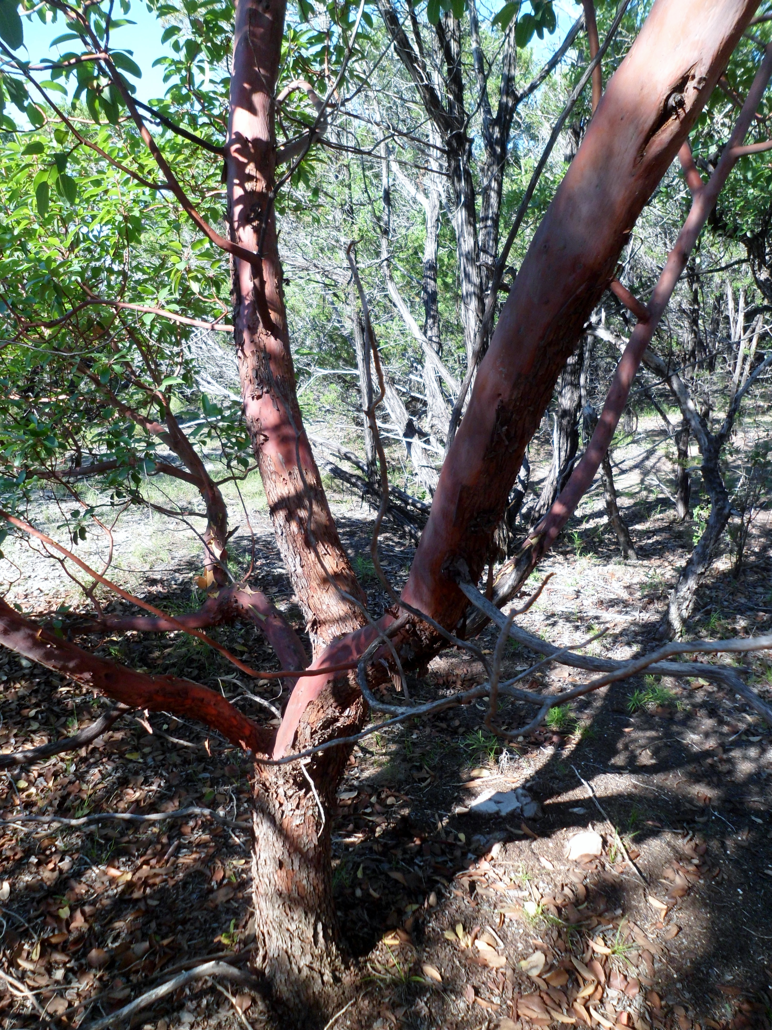
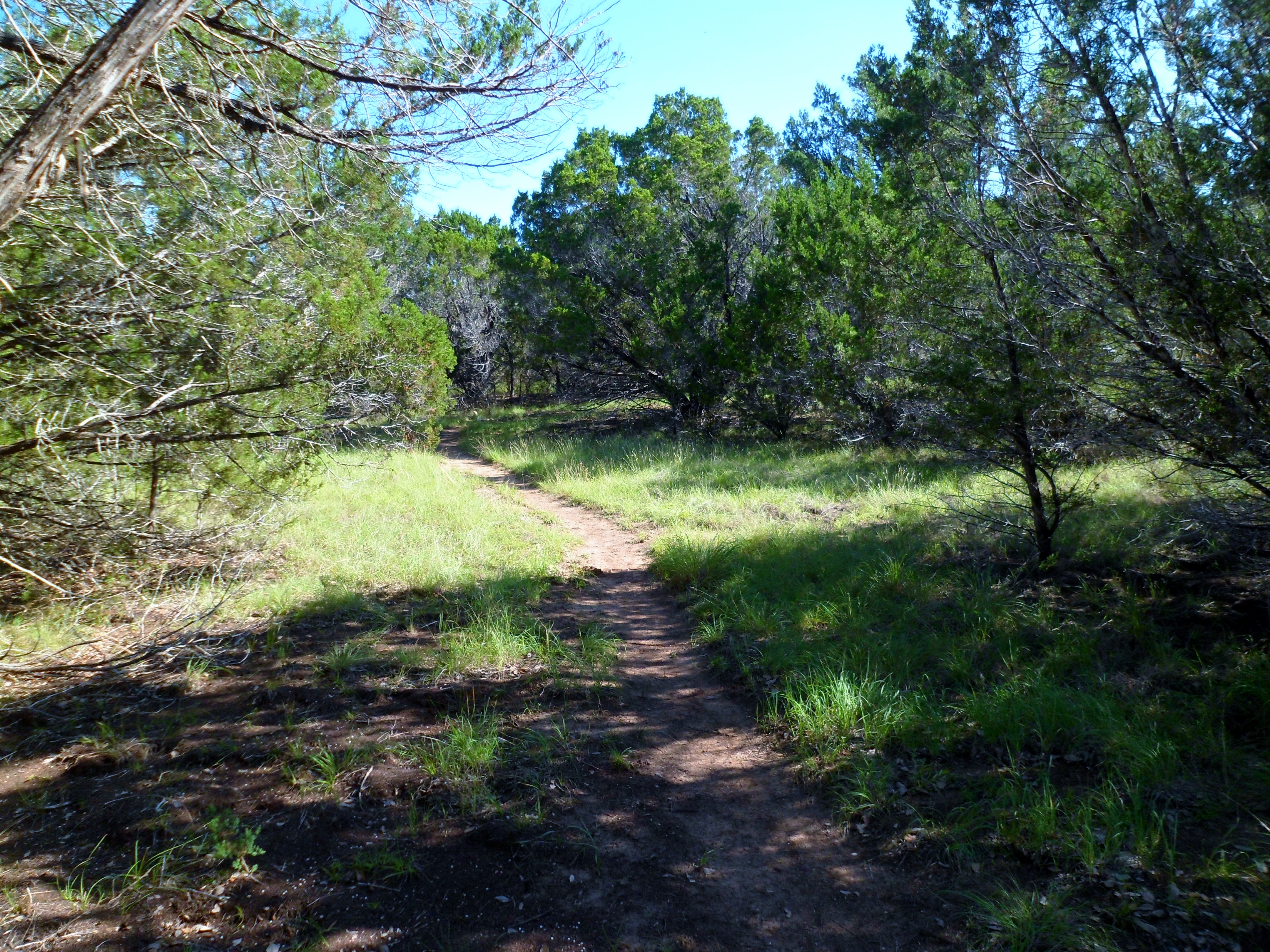
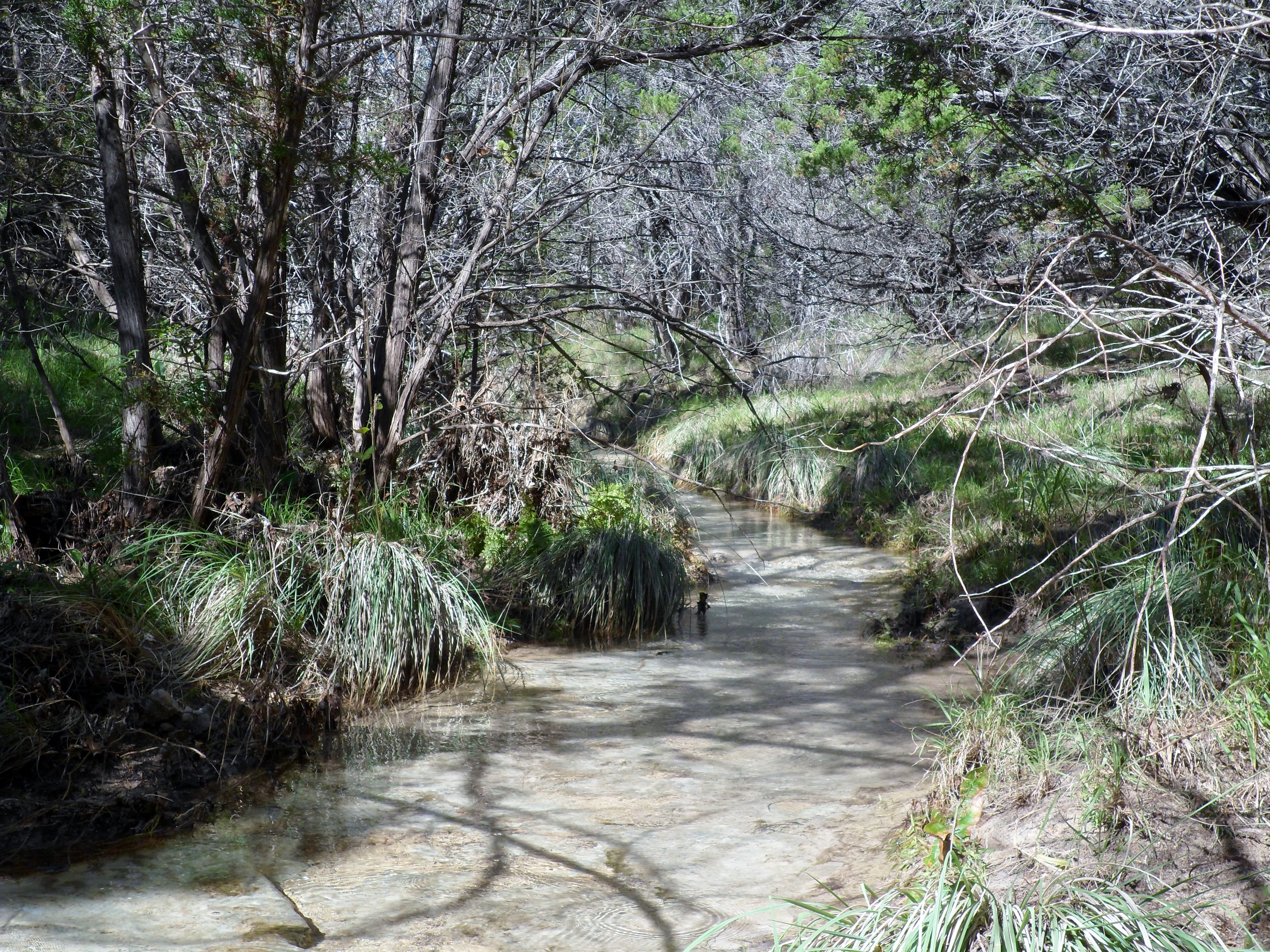
We started on the Madrone trail which wound around through the woods in the shade for a while. Court had a close encounter with a big spider that would have sent me into a conniption fit if it had been me. We eventually crossed back into the park and the landscape became a bit more exposed and desert like before hitting the Juniper Ridge trail, plunging back into the woods, and leading us to an incredibly beautiful waterfall and stream. We relaxed here for a while, Court soaking her feet in the cool, clear water. This made the whole hike worth it, but there was more adventure to come.


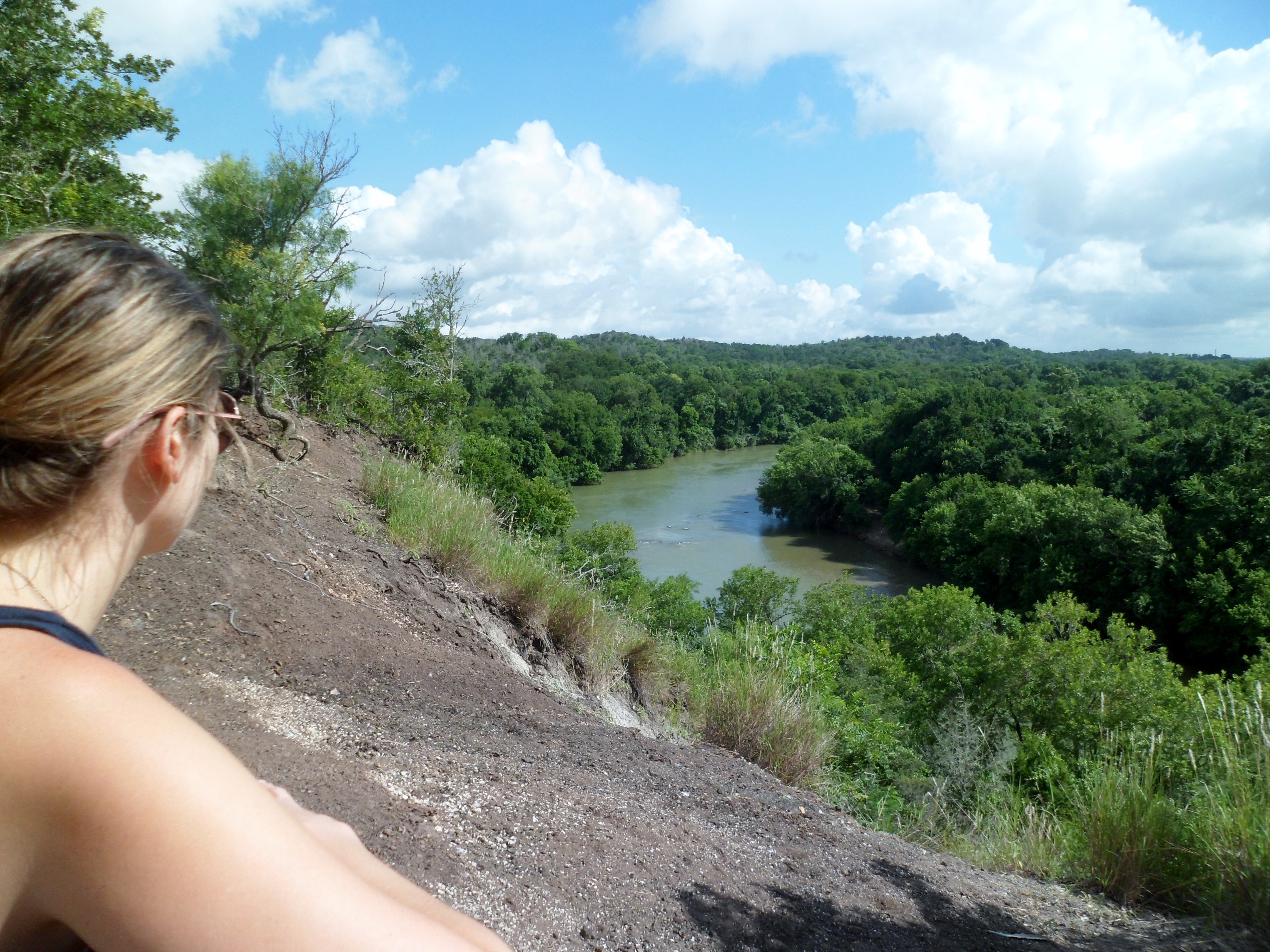
We hiked the trail up out of the creek to a pipeline right of way and decided to follow it back to a crossing with an equestrian trail that should have taken us back to the car. This was not to be however. The right of way was pretty steep uphill and gave us our best views of the park.


When we hit the marker for the equestrian trail we followed where the sign said to go, but couldn’t really find the trail. We tried several different directions and doubled back a few times, but found no obvious trail. We knew the road where we parked was relatively close, according to the map, so we decided to bushwhack through the woods where the trail was supposed to be. This added probably an extra hour or so to the hike and the compass and GPS came in handy. After going too far and hitting the stream from earlier we decided to go straight up and over Lone Mountain (Court’s suggestion) to get back to the car. Biff was carried some of the way and the sun was beating down harder and harder. Luckily we finally reached the road and popped out about 100 yards from our parked car.


I’m a bit upset that the park map shows a trail that either isn’t there or is very hard to find, but it made the hike more of an adventure. We had plenty of water and the proper equipment so there was never any real threat of being lost or in a worrisome situation. We blasted the AC in the car, loaded up on water, and headed back to town. I had a great birthday and now I also have a new work schedule that should allow a lot more hiking and camping which I am looking forward to.

Recent Comments