Pierce Wanderings
Texas Hiking (and elsewhere)
Cotswolds Day 5 – Moreton-In-Marsh to Bourton-on-the-Water 9/24/24
Tuesday, September 24, 2024
12 miles
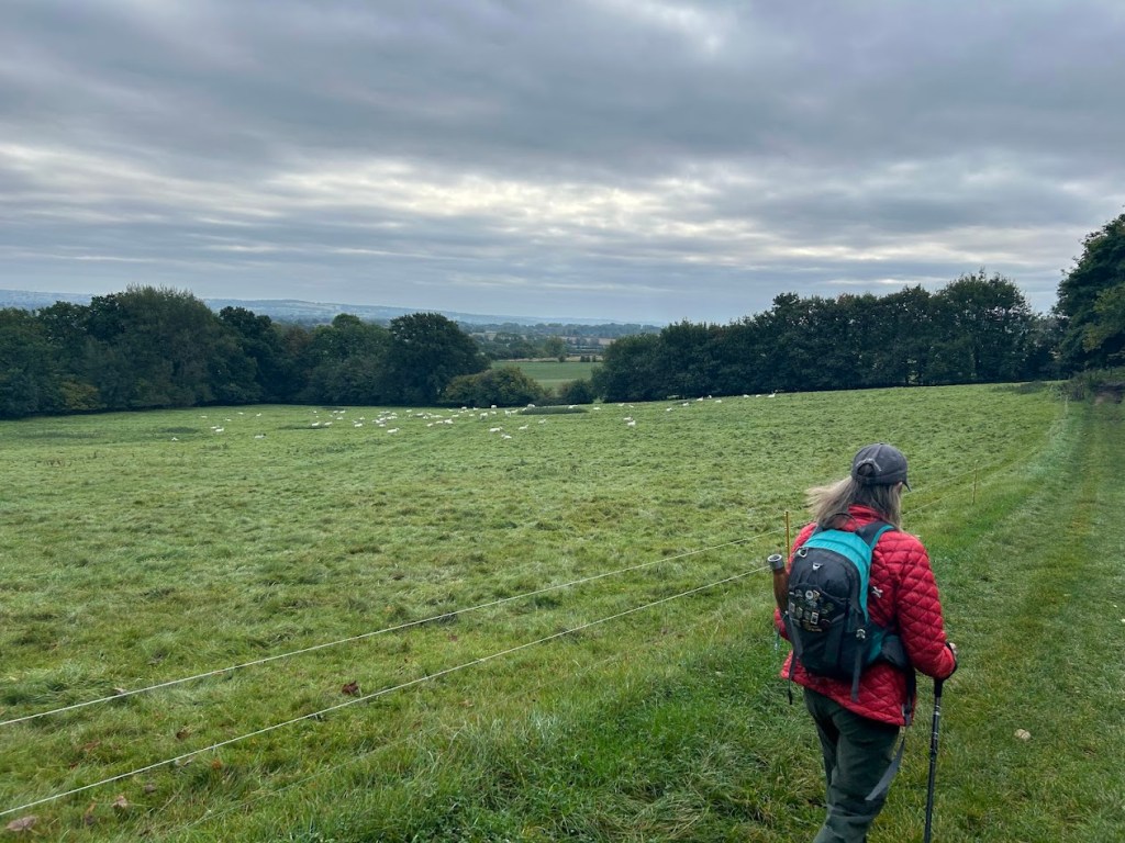
Back on trail! Mom would meet us a few miles in at Stow-on-the-Wold. Court and I set out across the pastures on a chilly and cloudy, but not rainy, morning. This is the longest day of hiking and thus, the longest blog entry for this trip.


After a couple of hours the clouds parted and we got some blue skies!
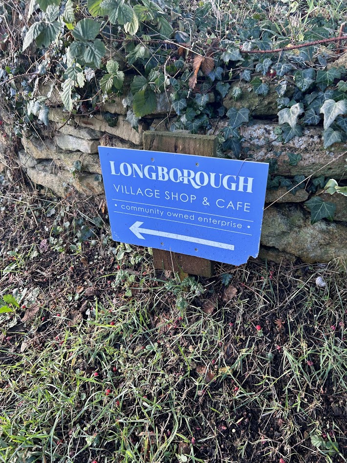
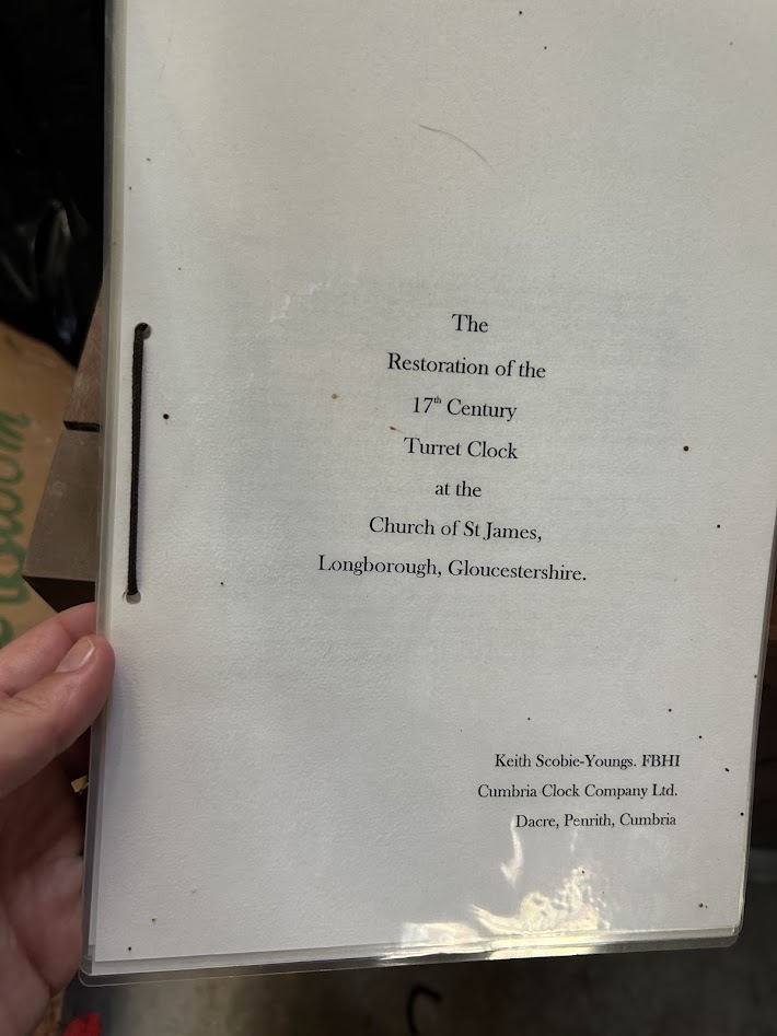
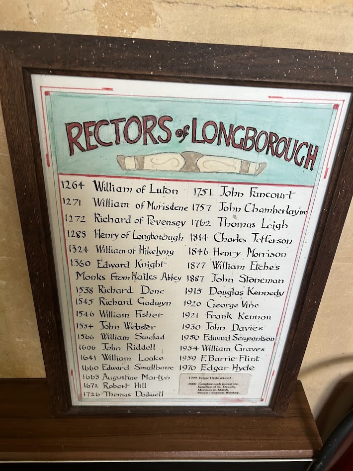
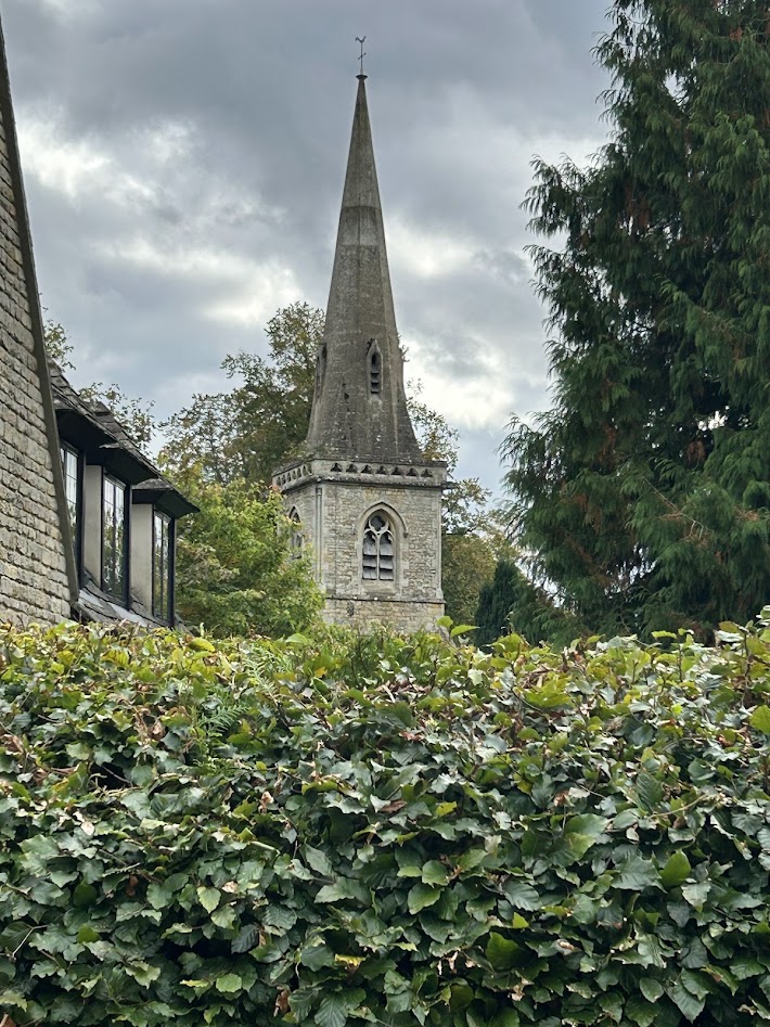
The first village we came to was Longborough and also one of Courtney’s favorites. This had one of the oldest churches on this trip, dating back to 1264. We went inside and there were two caretakers cleaning it who were very nice and seemed pleased we decided to stop in.


They also had a clock from the 1600s that had been restored. It was just the inner workings and a pendulum.


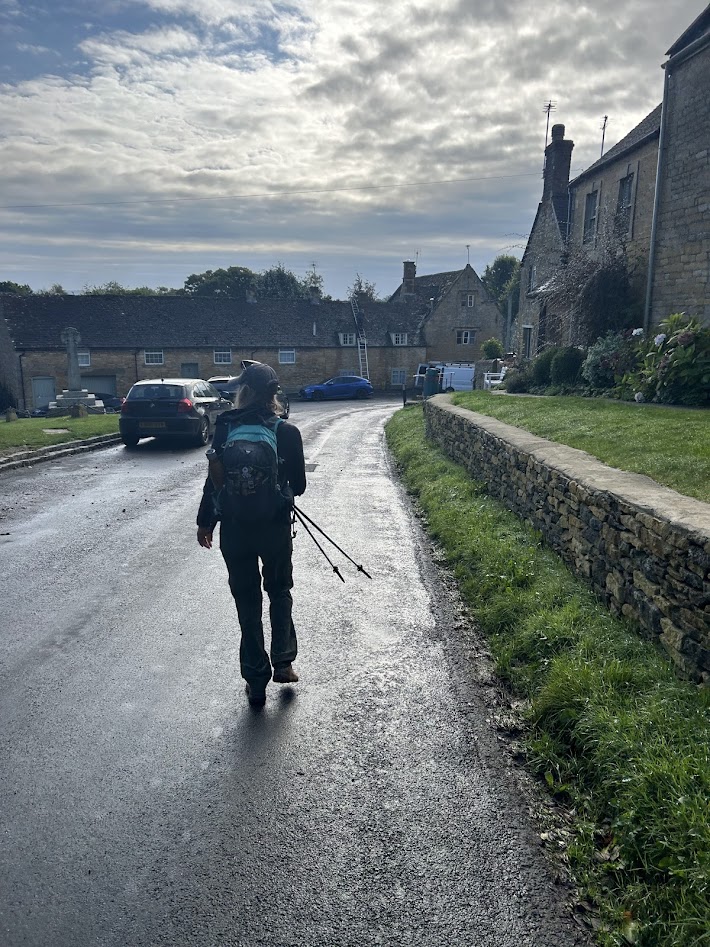
We made a quick stop for a snack at the town co-op, which was very cute. This town probably only had about 200 people or so. We then headed on to Stow-on-the-Wold.


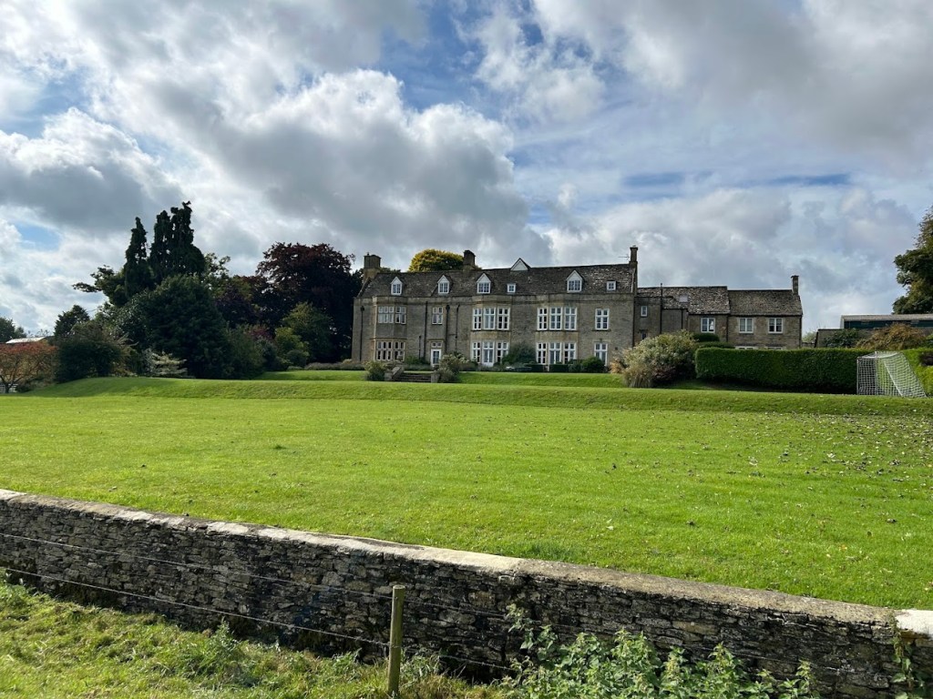
A few more fields, a huge manor home, and then Court of course had to stop at the swings.


Stow-on-the-Wold was crowded, but nice, and we could certainly have spent some more time there if we didn’t have more miles to make. We met Mom and Dad for lunch and then Mom joined us for the rest of the day.

This is also the home of the famous Tolkien Door:

From the Stow and District Civic Society:
“St. Edward’s Church, Stow-on-the-Wold, in Gloucestershire, was built on the site of a former Saxon church and the present-day edifice fuses various architectural styles. Whilst all of its authentic features are of interest in their own right, there is one feature that has become the most photographed door in the Cotswolds. The church’s north door, flanked by two ancient yew trees is rumoured to have sparked J. R. R. Tolkien’s inspiration for the “Doors of Durin,” the west gate of Moria that appears in a scene in the The Lord of the Rings: The Fellowship of the Ring.”
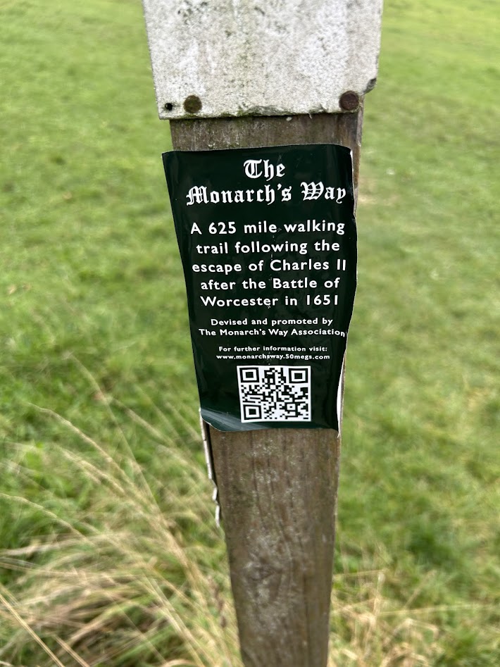
We set off along The Monarch’s Way, which is supposedly the path that King Charles II used to escape in 1651 after being defeated in the Battle of Worcester. The whole path is 625 miles long. More green fields and large manors on this route.


The last town before our destination was Lower Slaughter. Pretty town.


We hiked into Bourton-on-the-Water a mile or so later through some back road neighborhoods, which honestly felt a bit sketchy, but the main town center was lovely. There’s a small river (creek?) that flows through town with several bridges and it’s only about 10 inches deep the entire way, so it feels very quaint and picturesque.

After a pint and dinner, we retired to our hotel rooms for a good rest. Tomorrow would be our last day of hiking.

Recent Comments