Pierce Wanderings
Texas Hiking (and elsewhere)
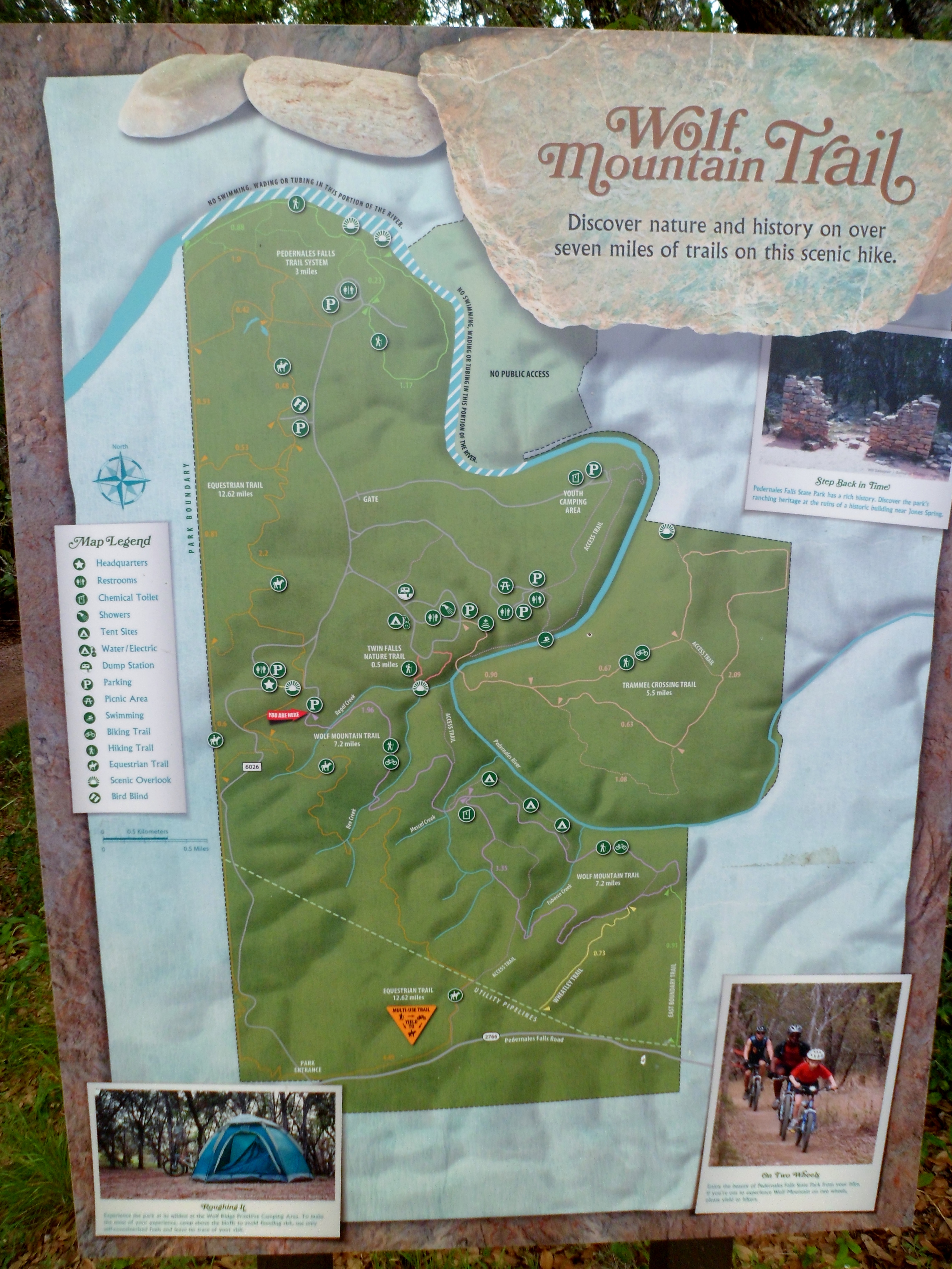
Pedernales Falls SP – Wolf Mountain 5/22/16
Sunday, May 22, 2016
Hike: Pedernales Falls State Park – Wolf Mountain Trail, near Dripping Springs, TX
Weather: HUMID, mid 80s, cloudy
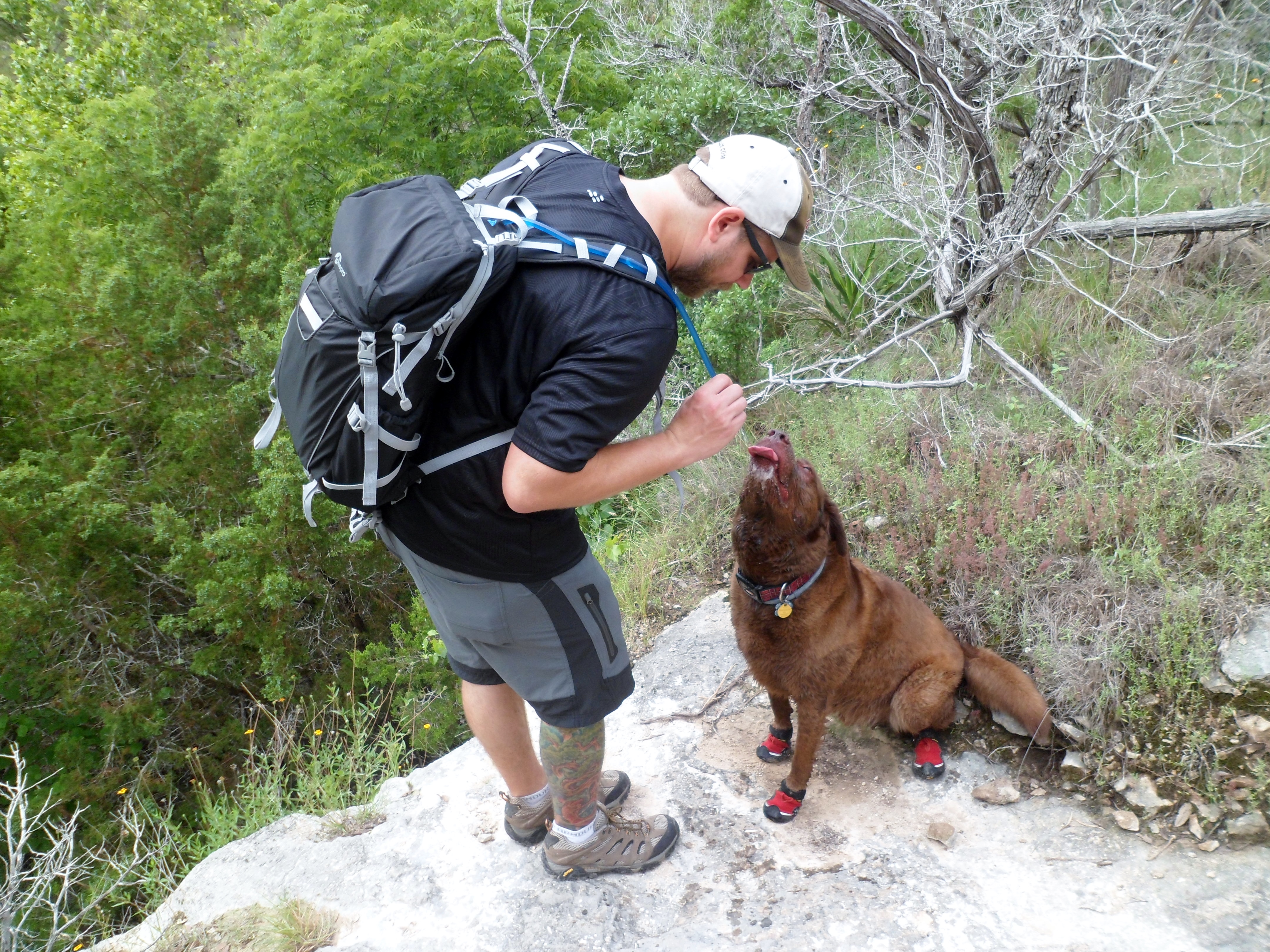
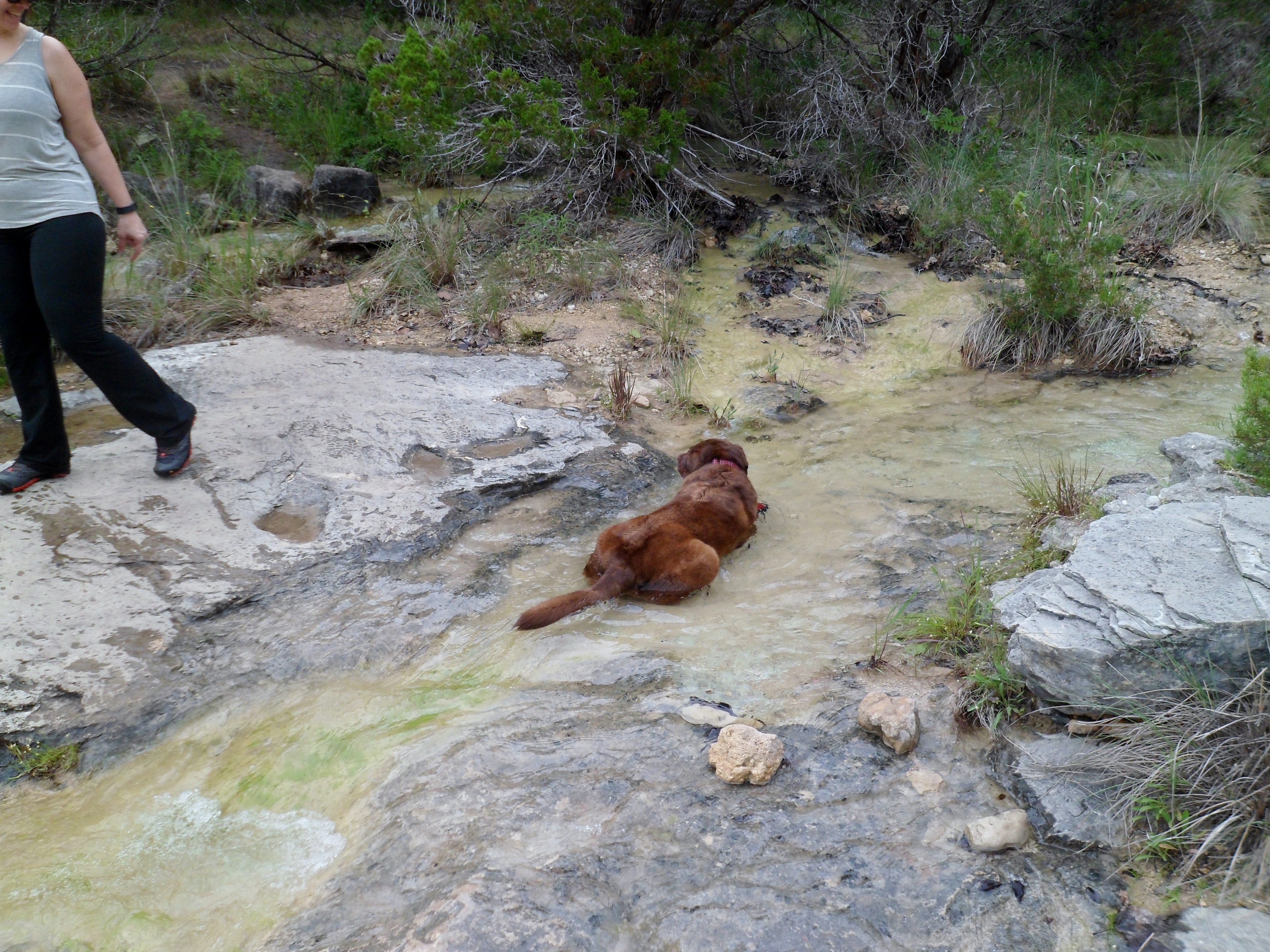
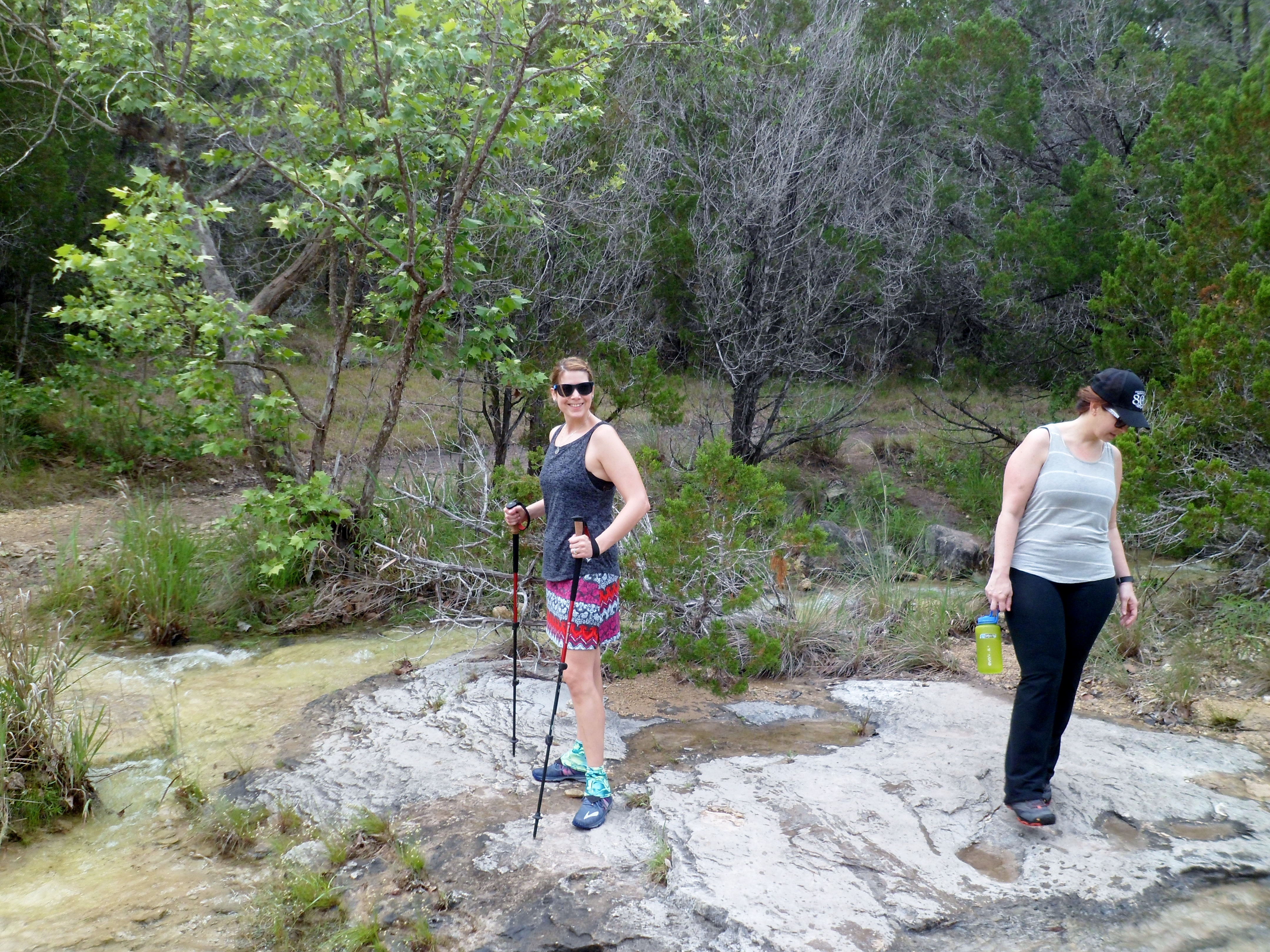
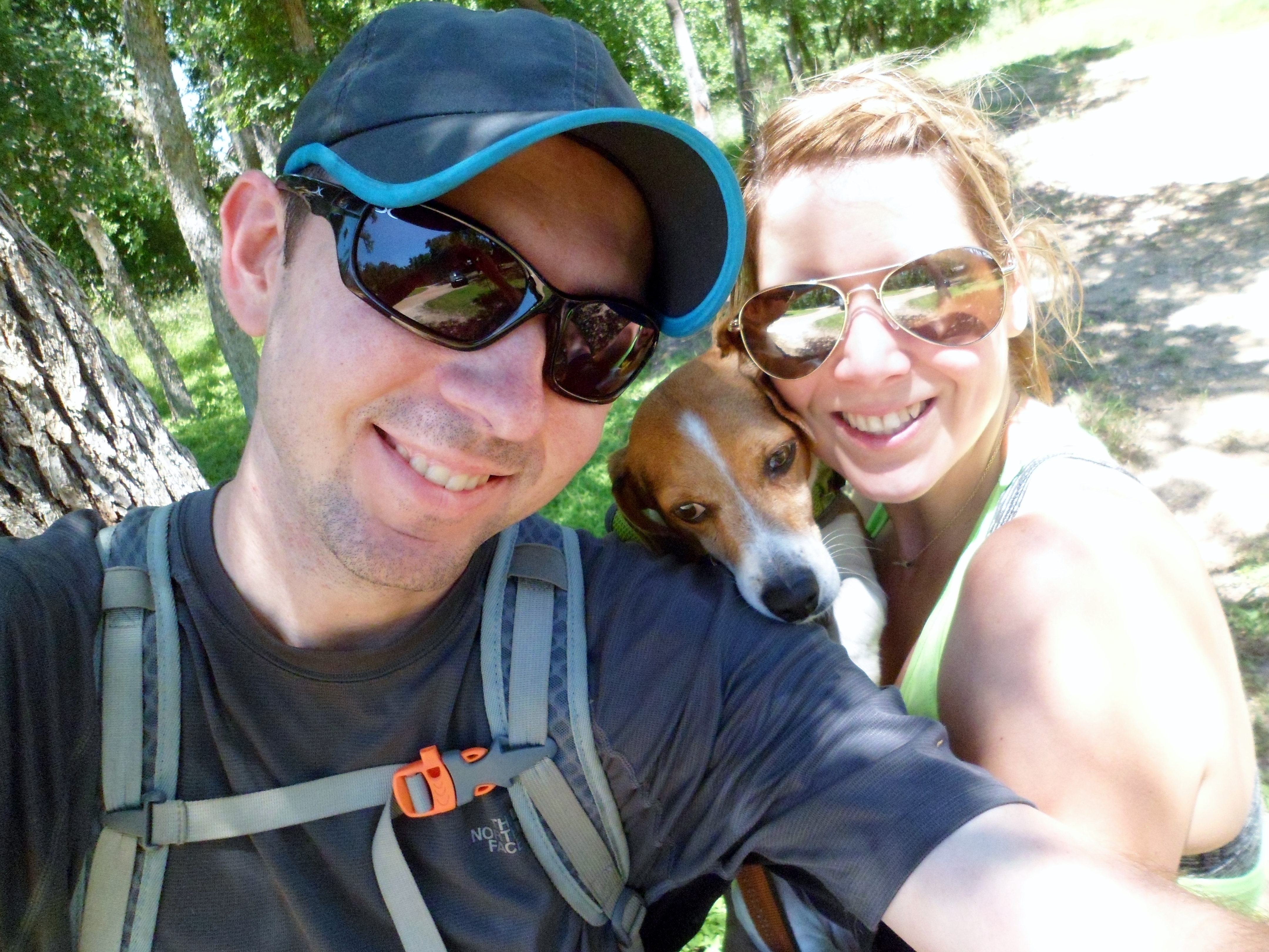
Hikers: Ian, Court, Greg, Cat, Sam
Length: about 6 miles
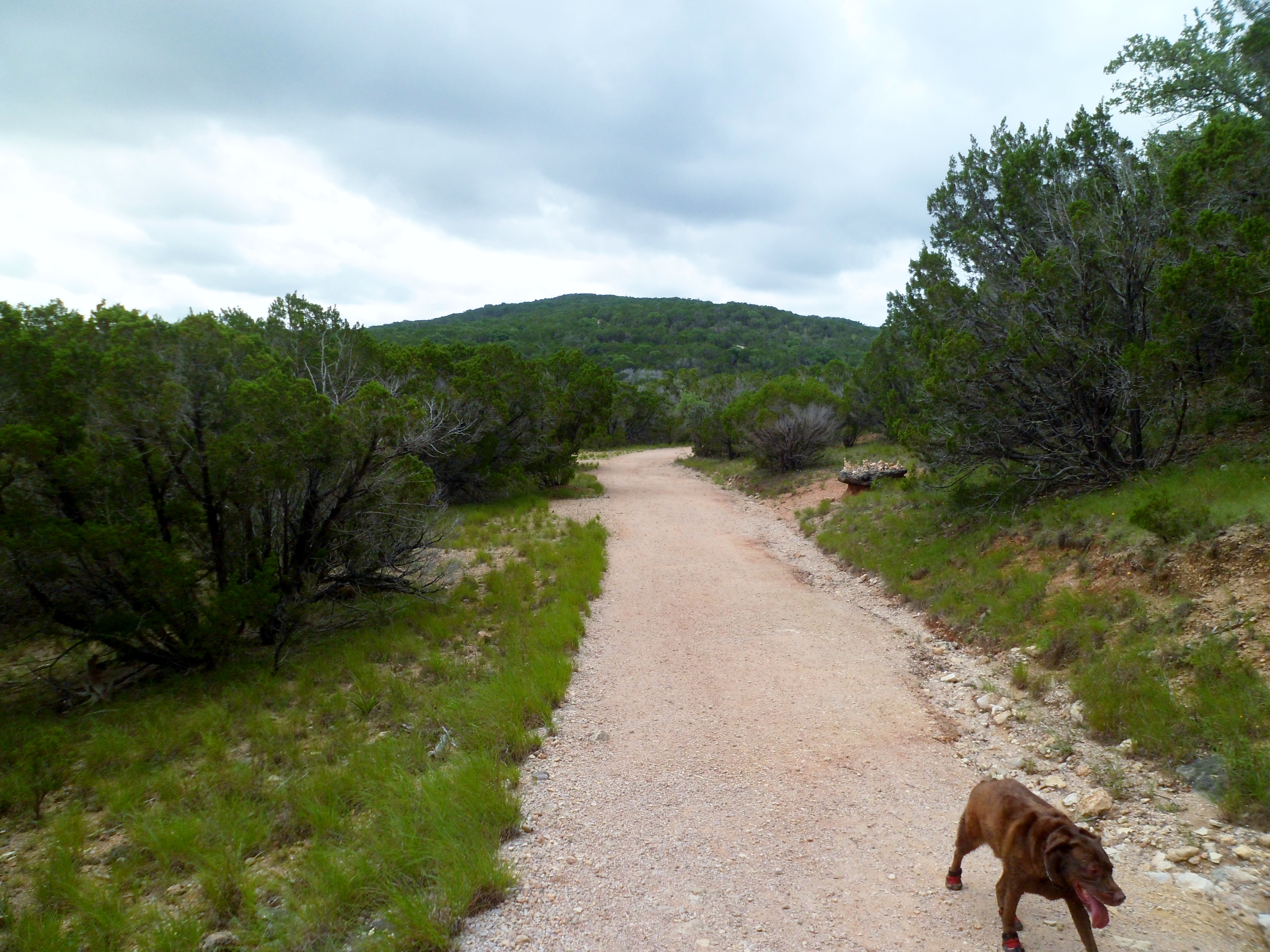
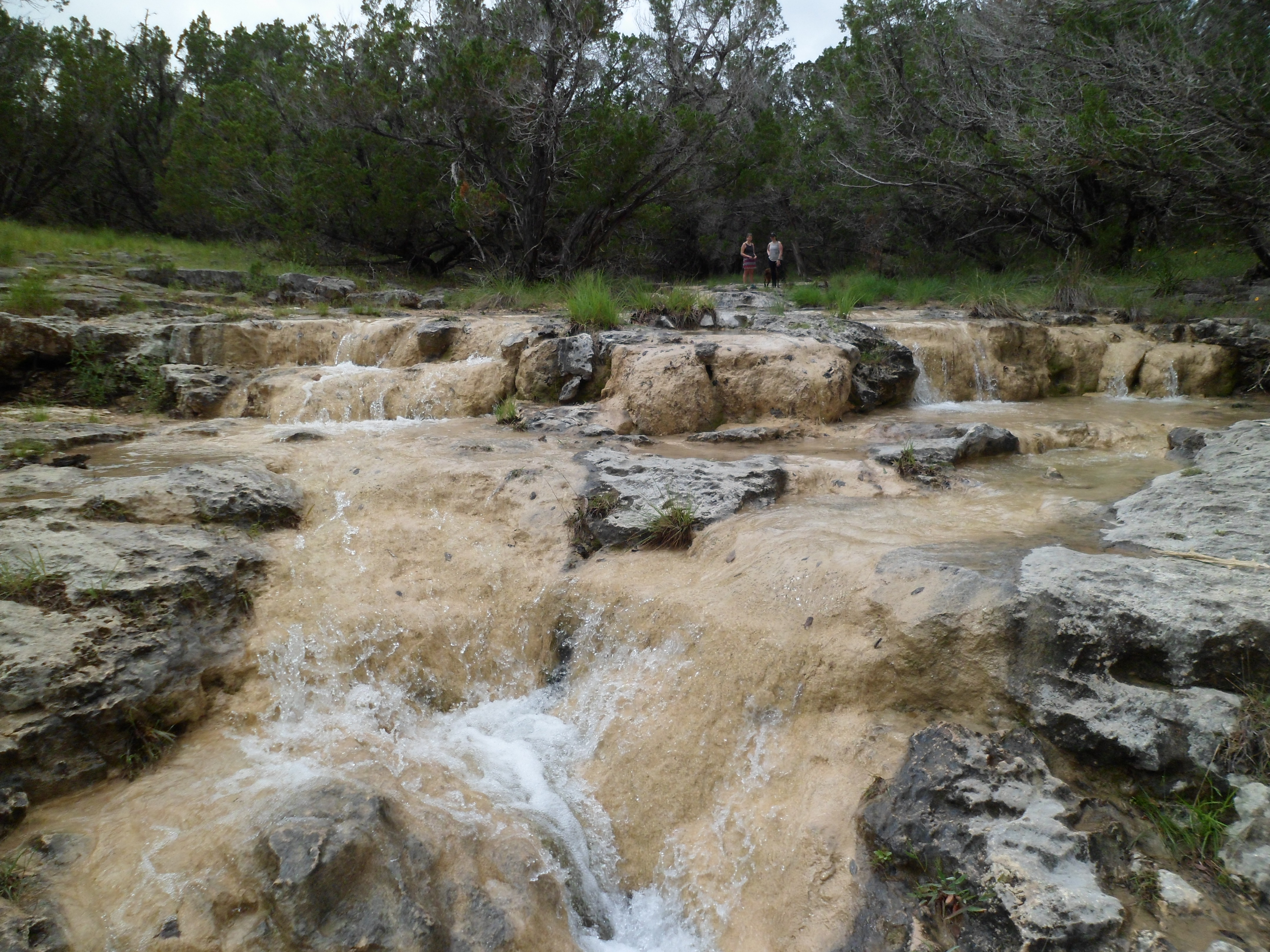
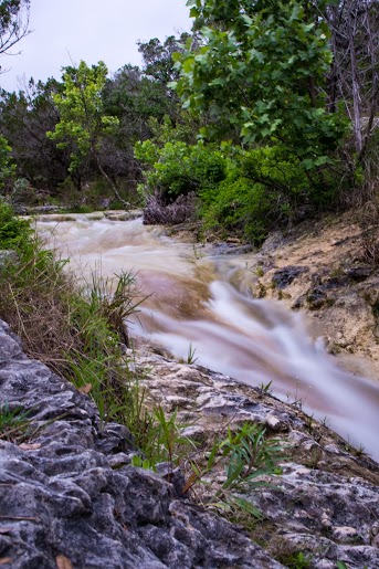
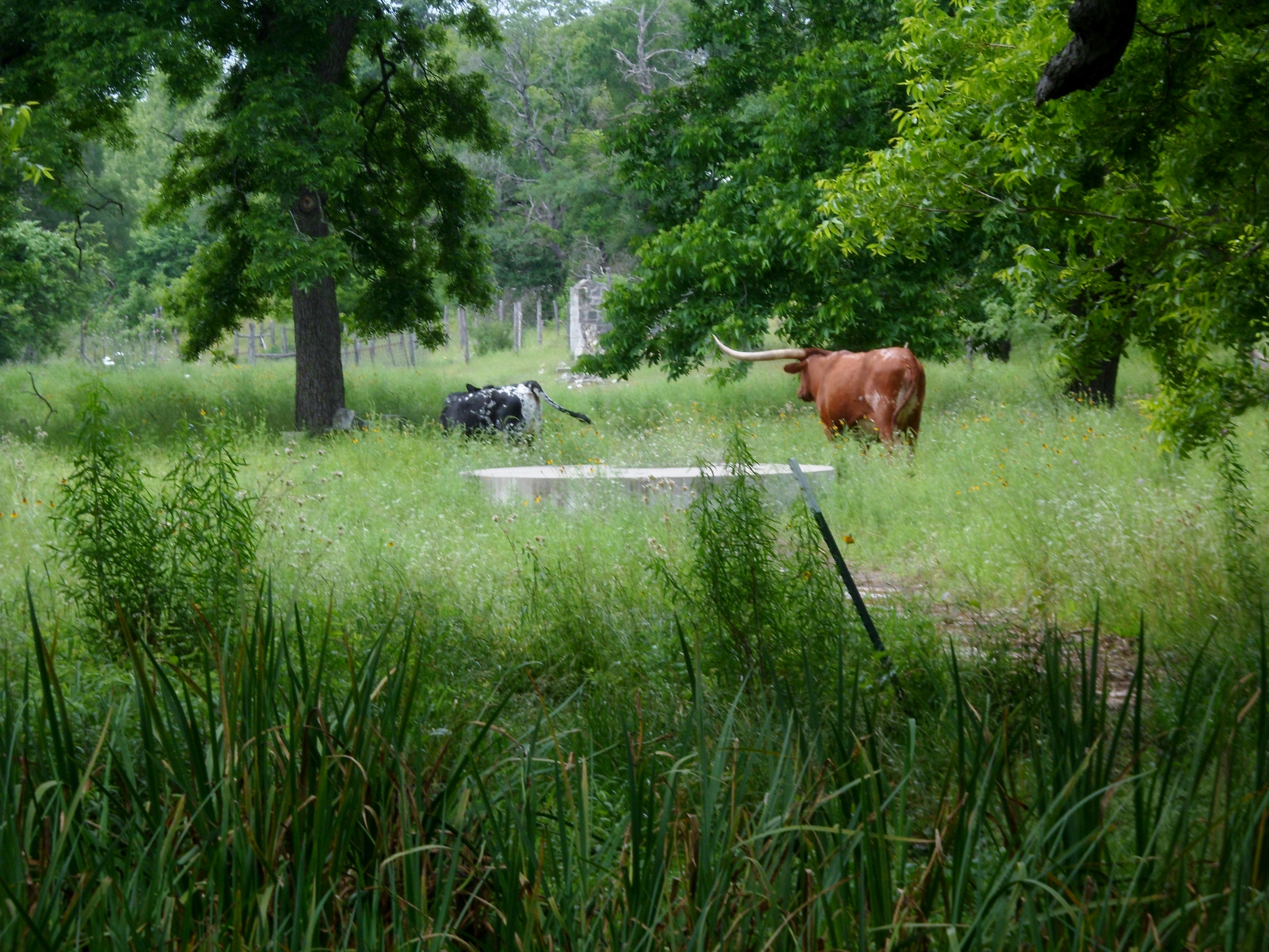
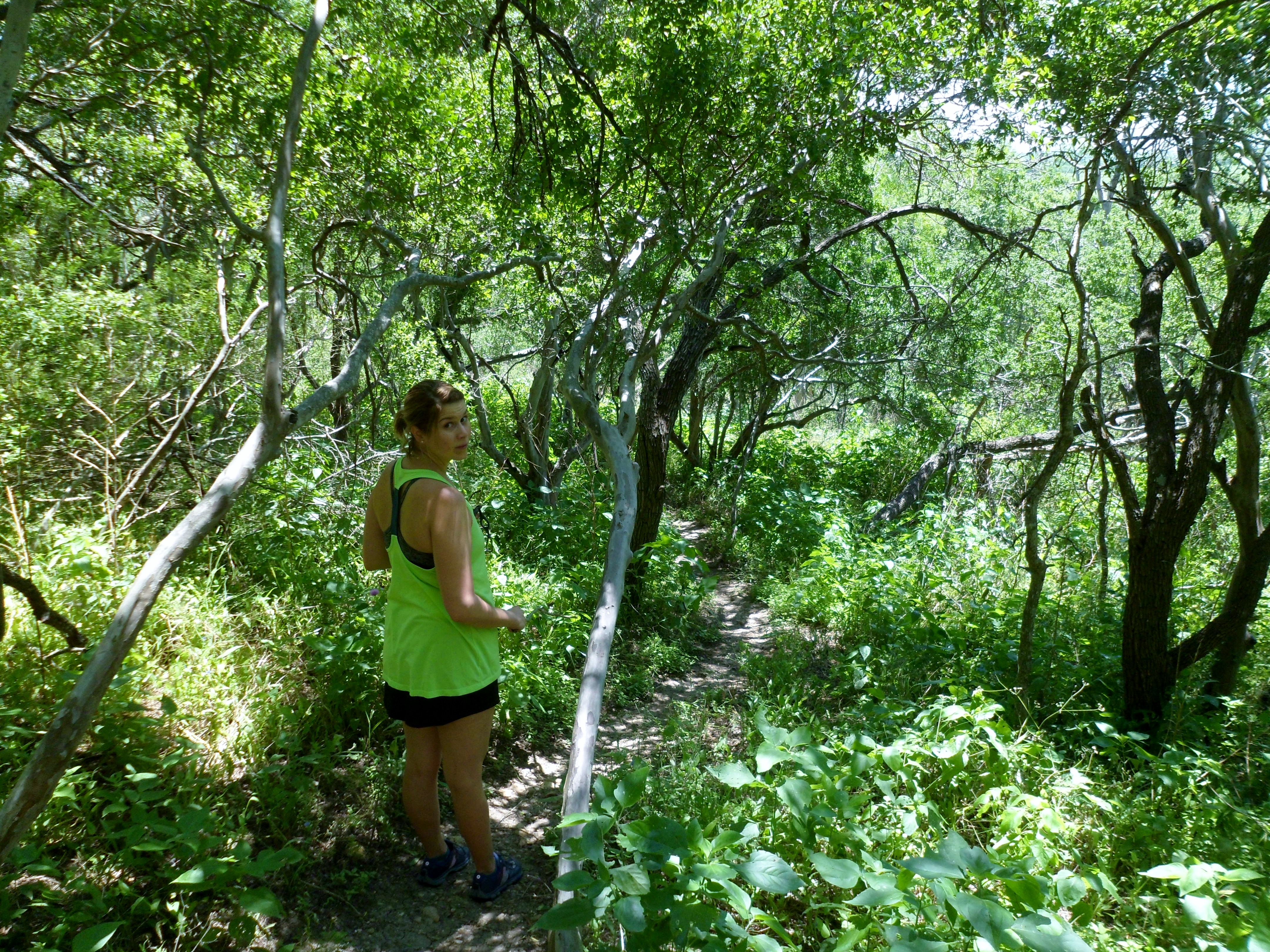
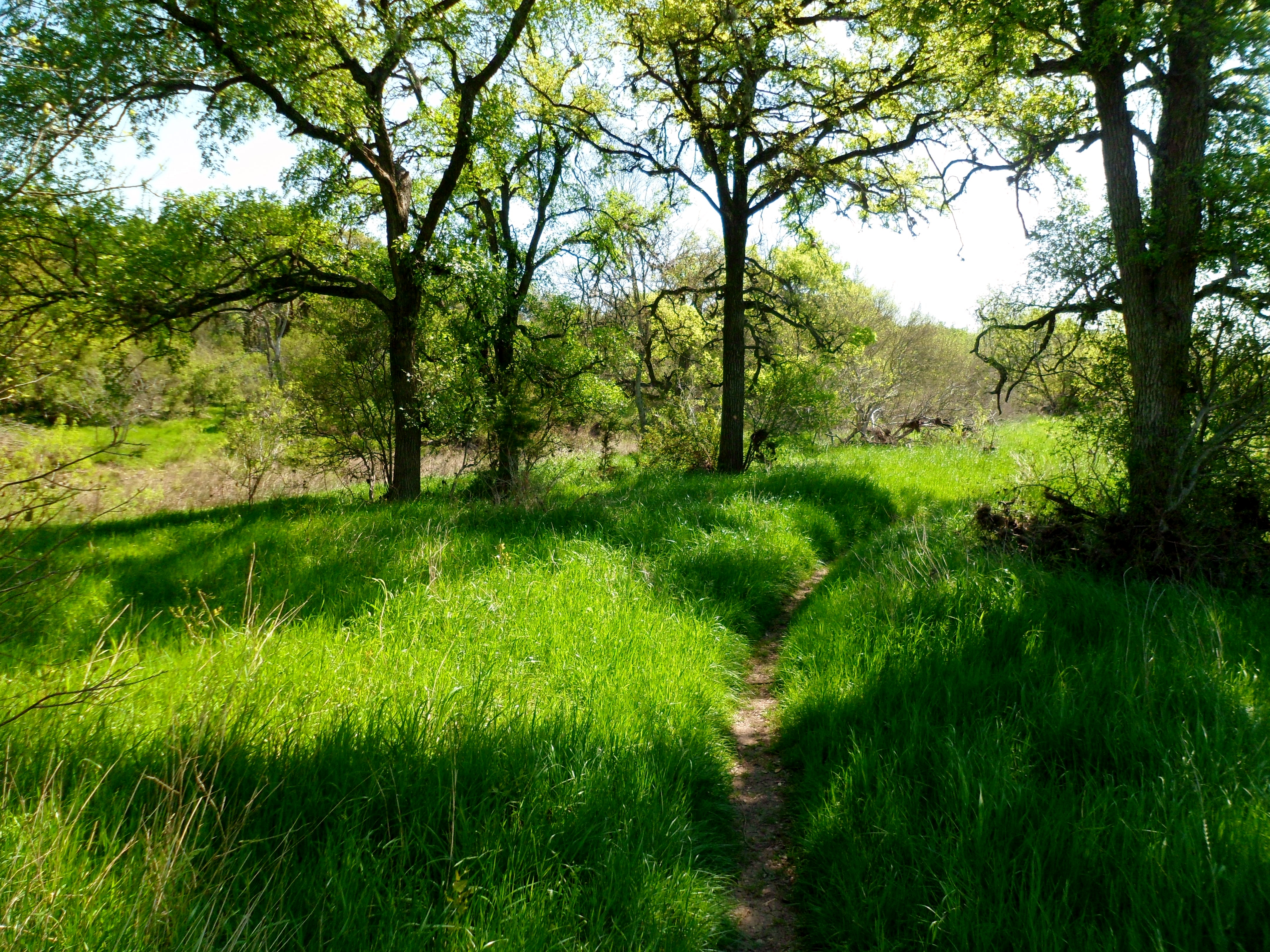
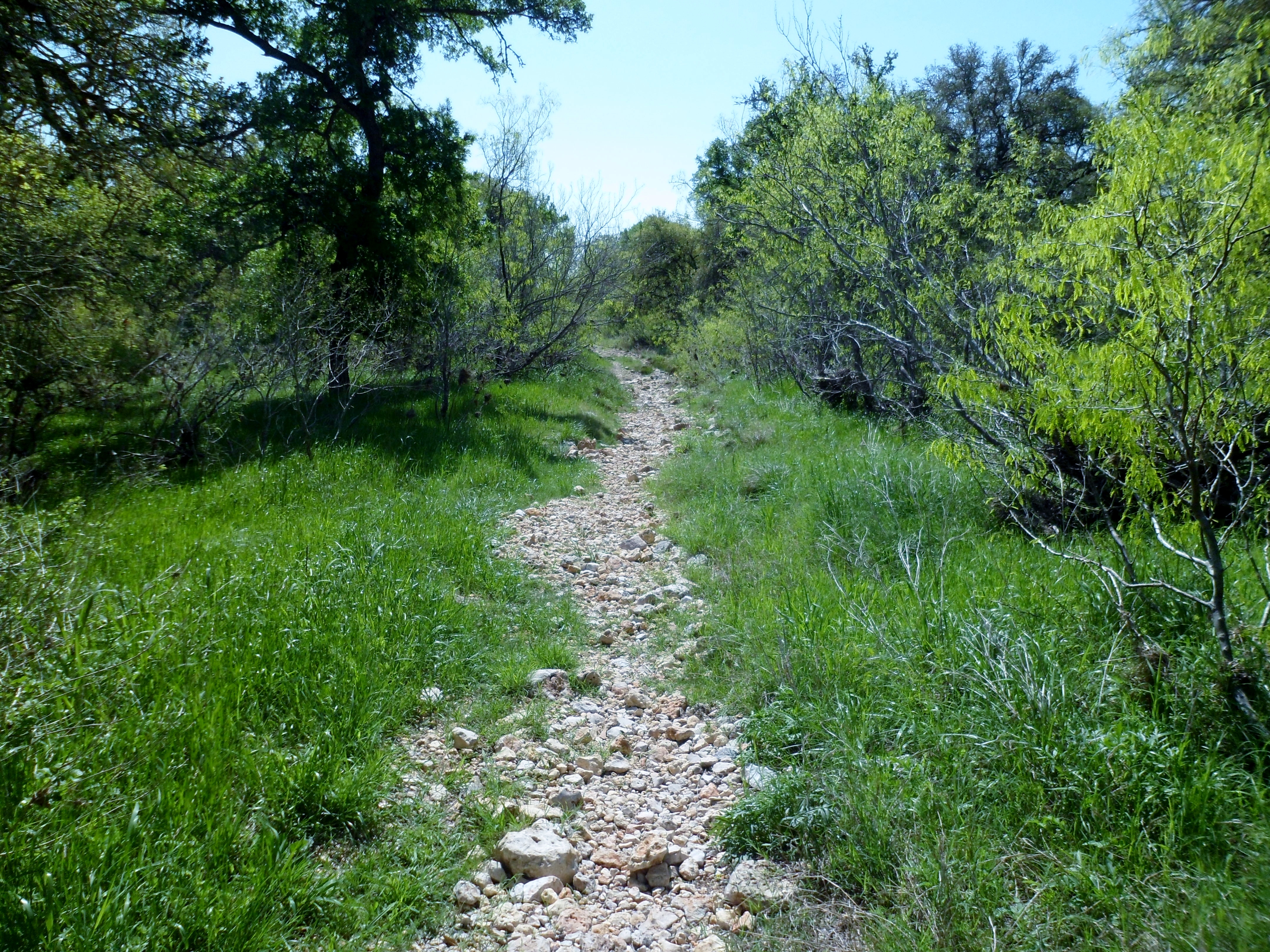
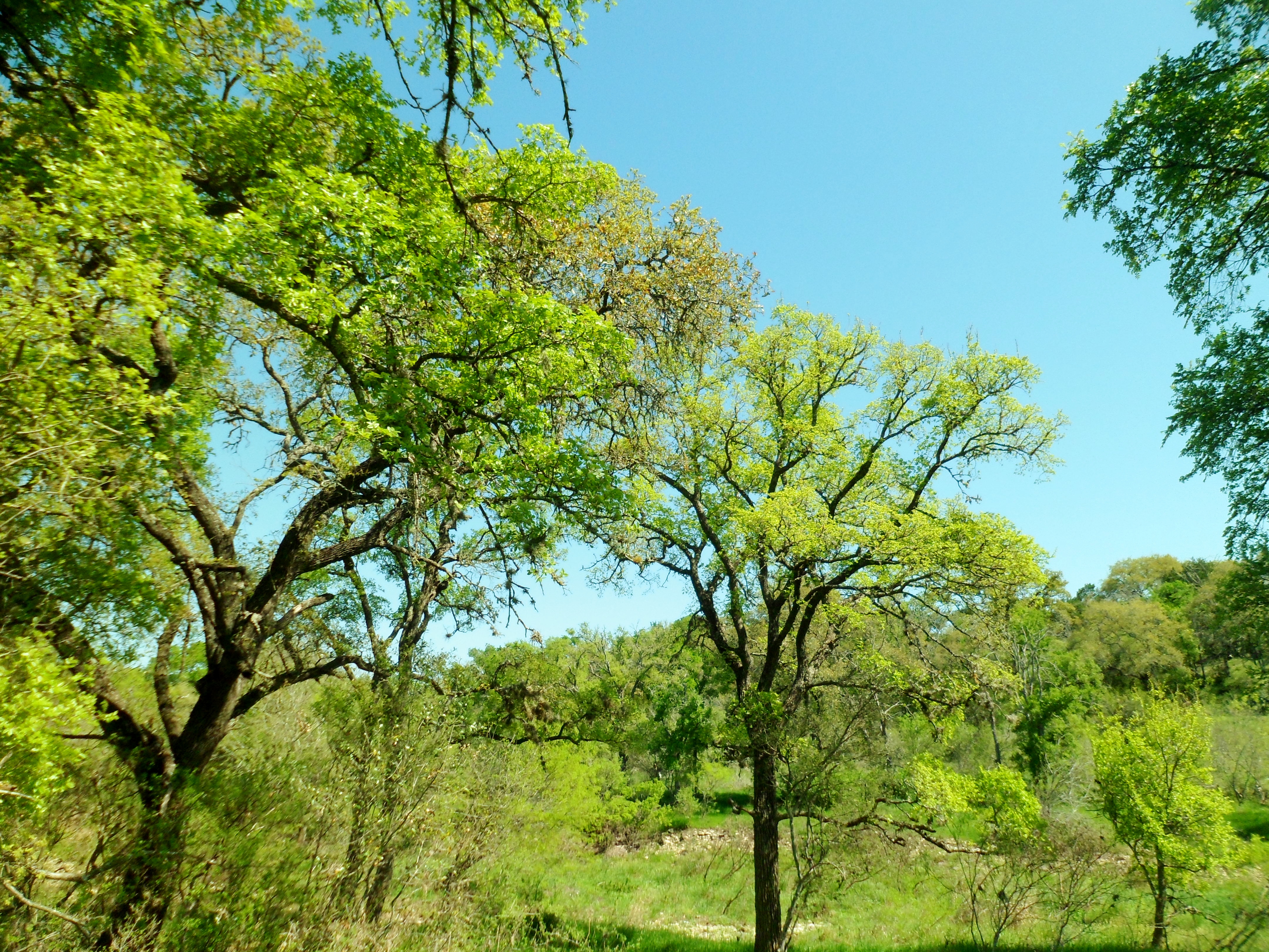
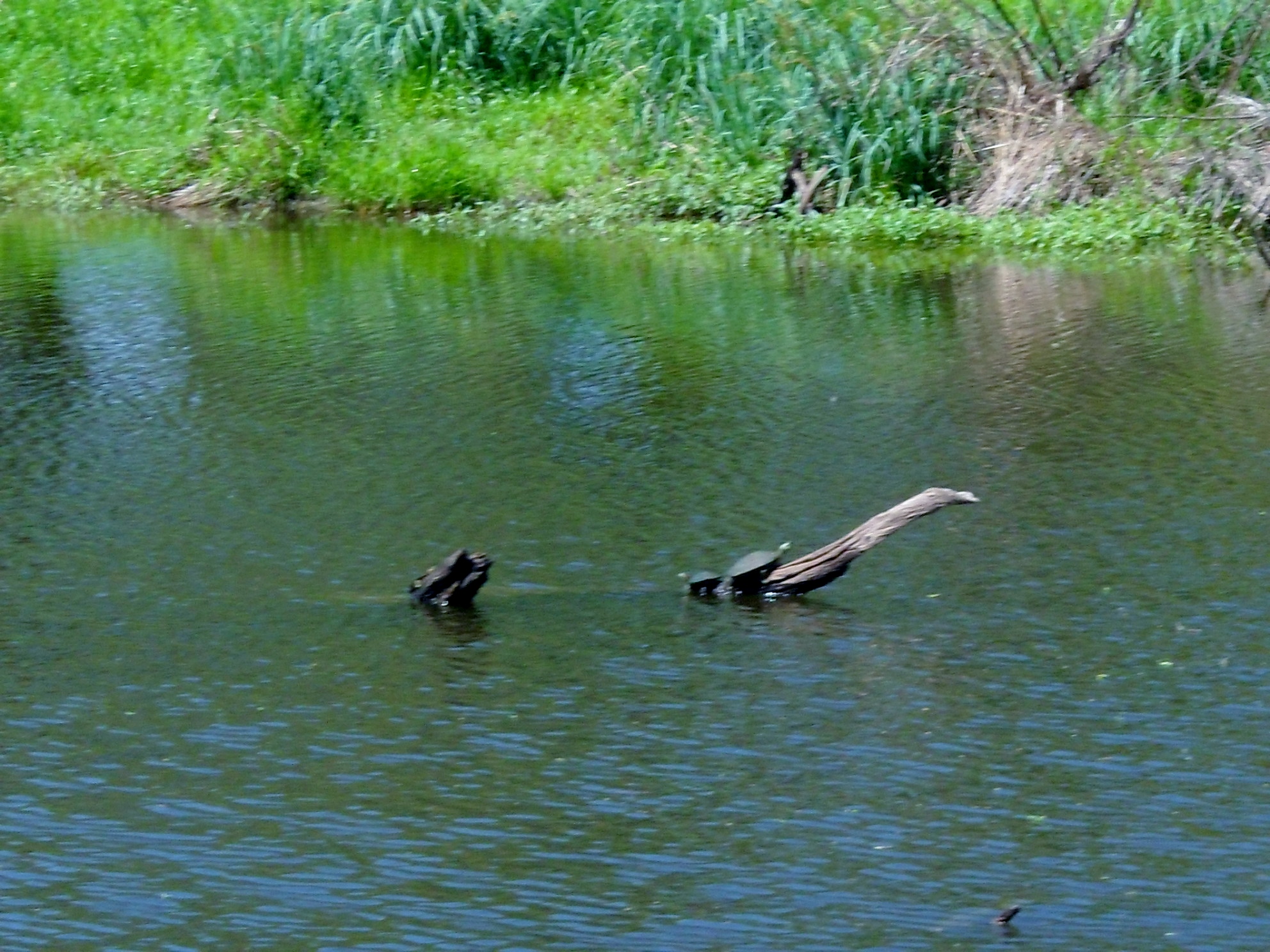
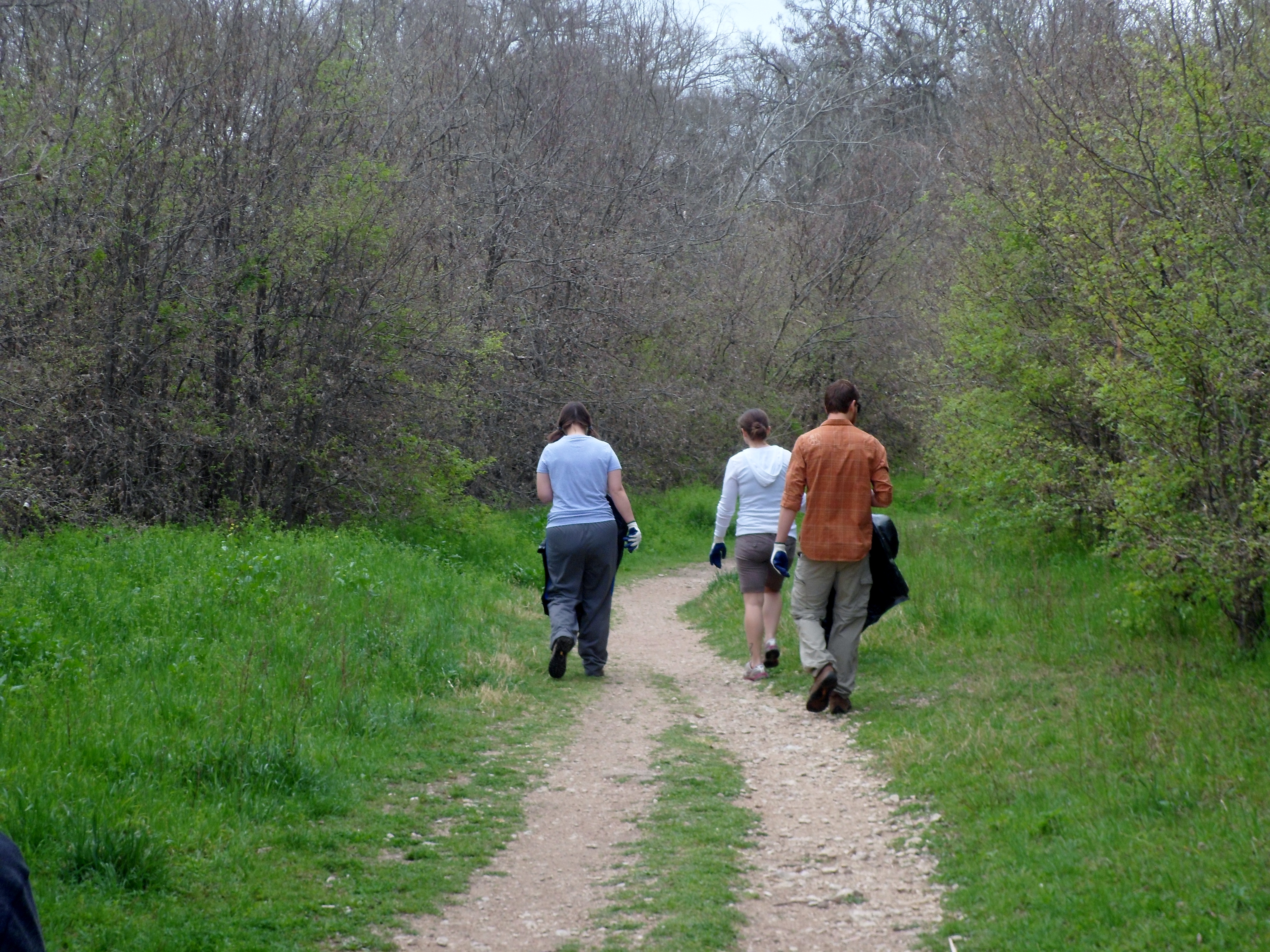
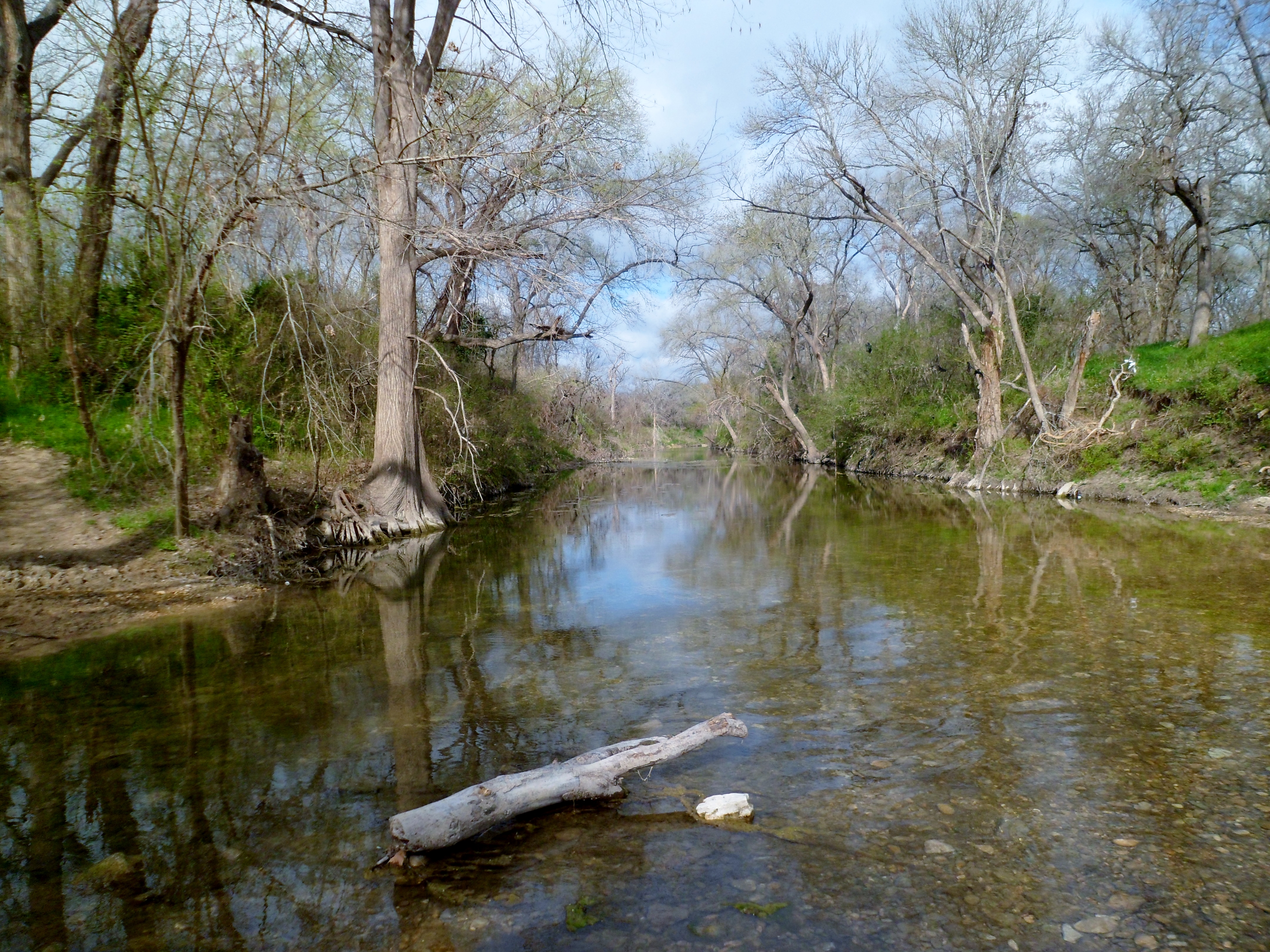
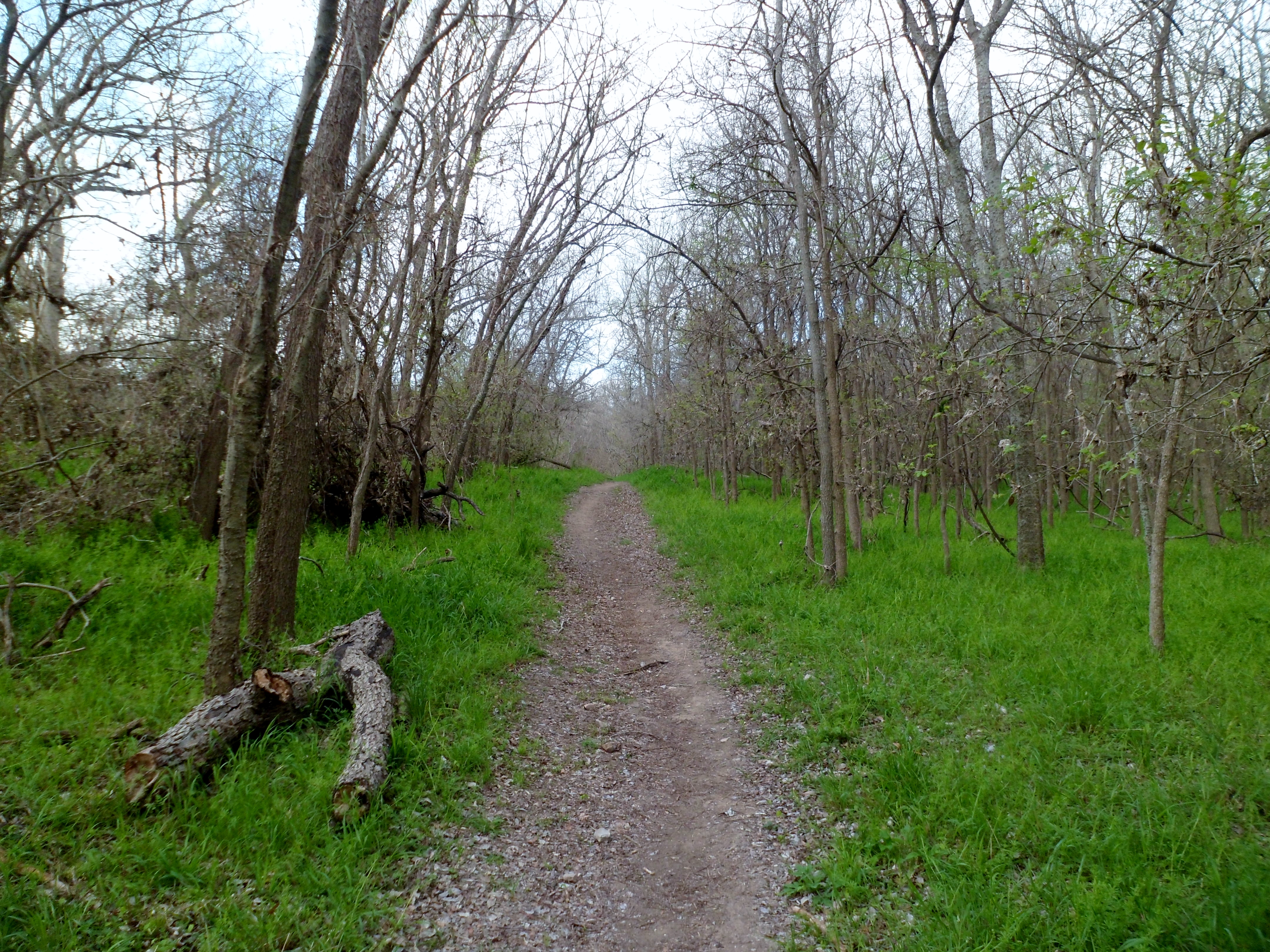
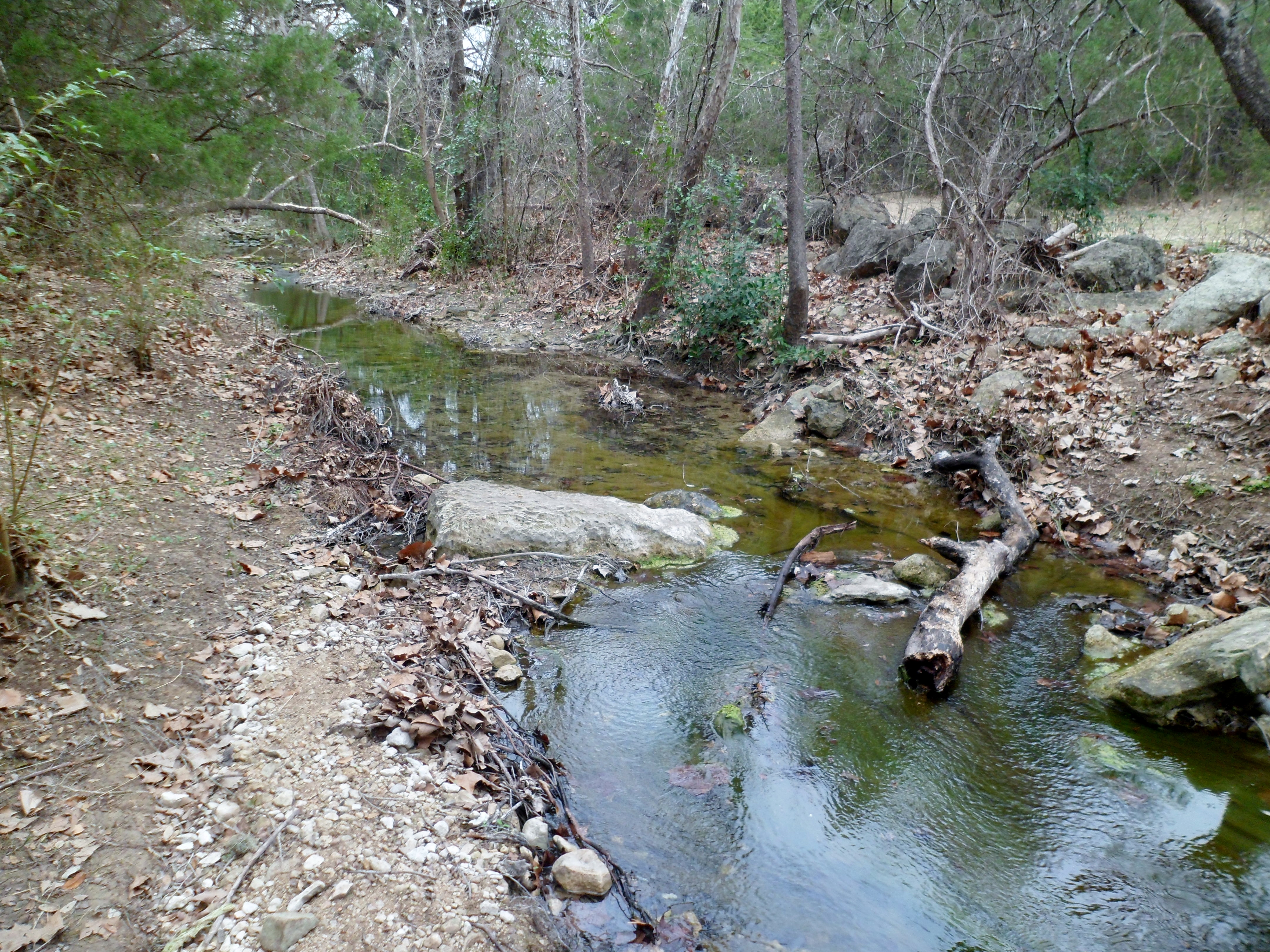
Greg, Cat, and Sam joined us for a hike up Wolf Mountain Trail at Pedernales Falls on Sunday. This is one of the more popular trails in the park, but we had never done it. The trail is pretty wide and well graded with gravel the whole way, but still gains some elevation and has some decent views, as well as crossing over a couple of beautiful creeks.
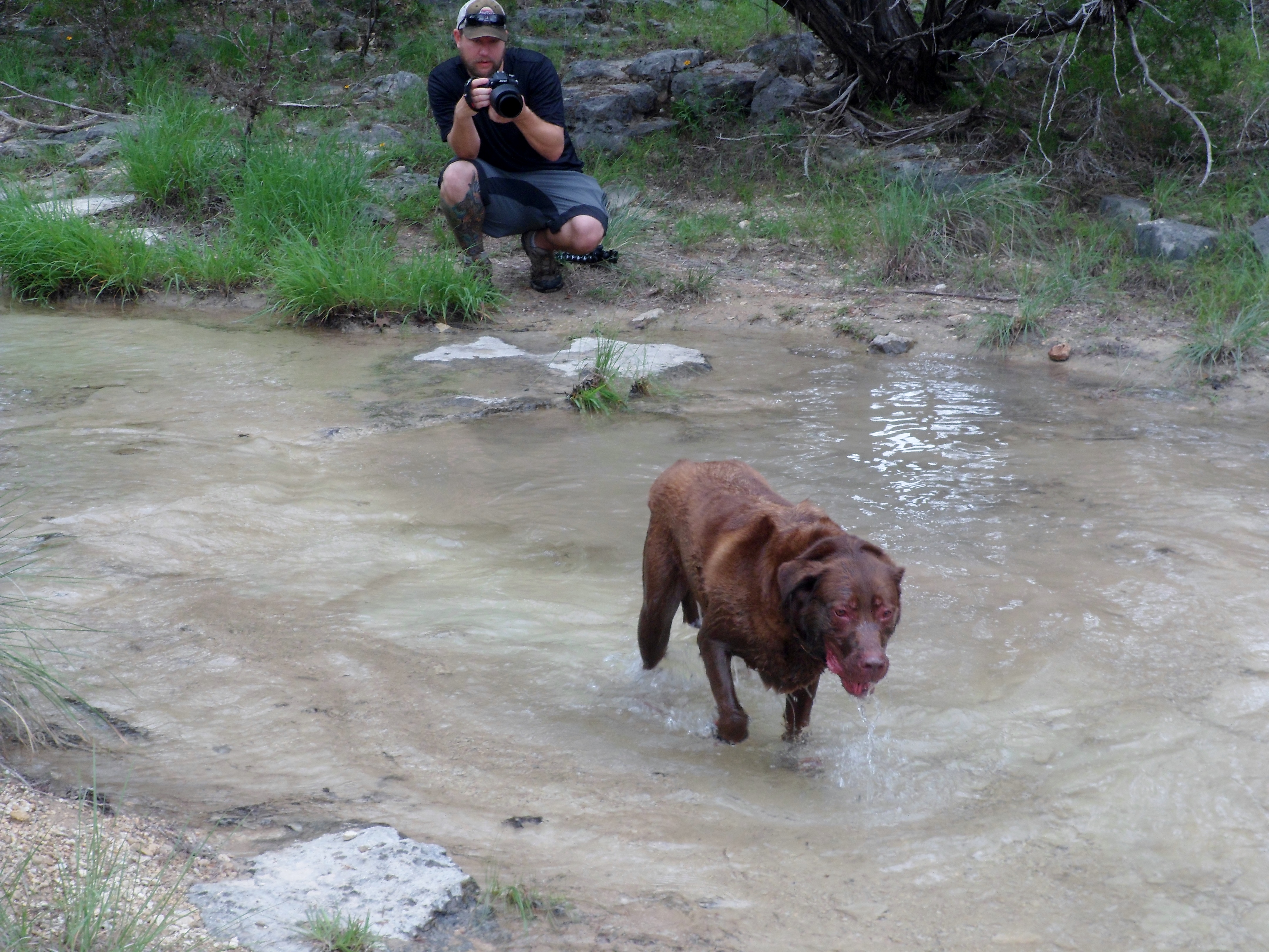
We got out to the trail about 9am and Sam took off with his doggie hiking shoes that are always a big point of conversation with other hikers we come upon. He has to wear them, at least at first, because he goes so hard that he rips the pads off his paws otherwise. The first creek we crossed was Bee Creek. We took a few photos and Sam took a bath. We were starting to feel the temperature rise already.


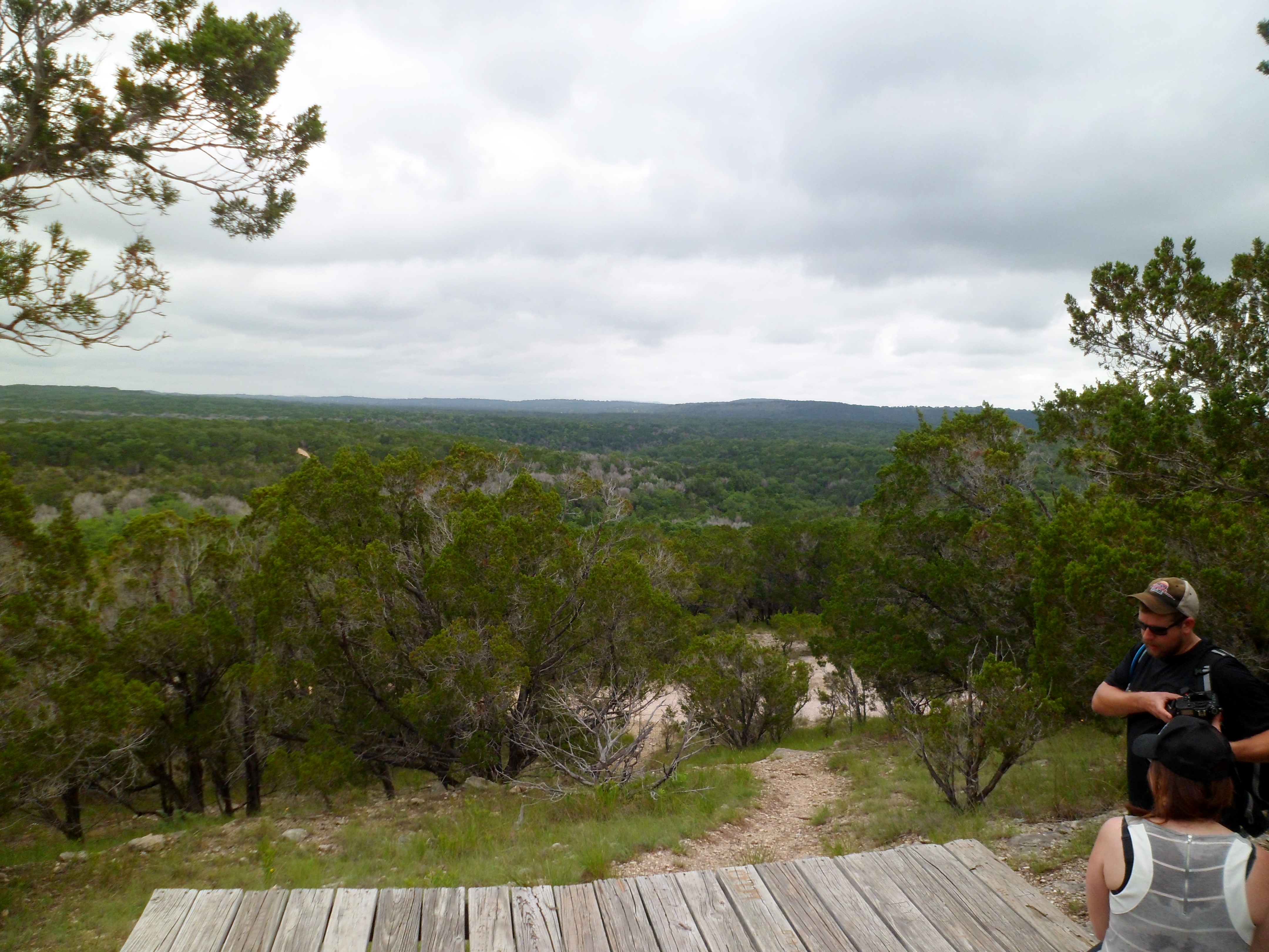
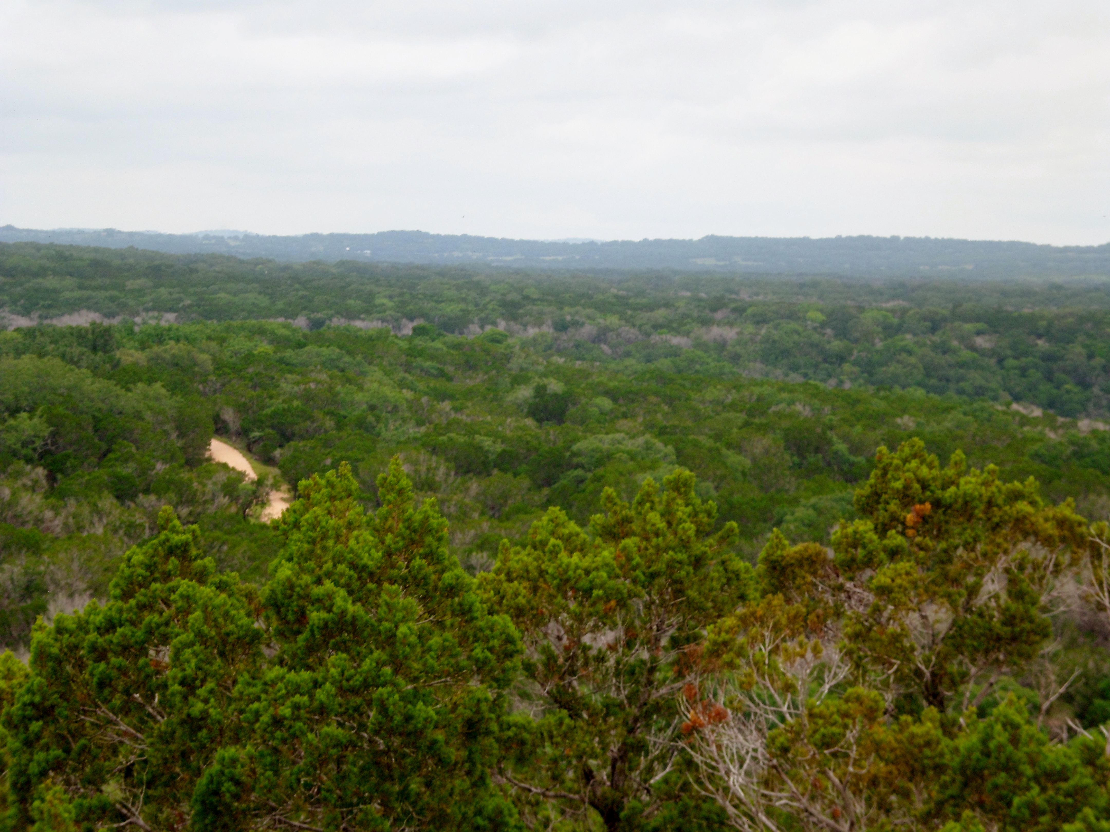
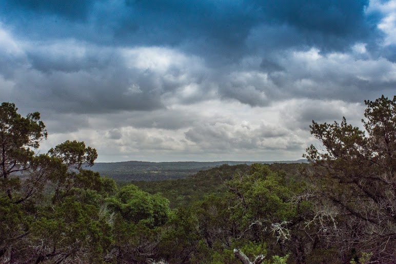
We started to gain elevation and found a short side trail up to a lookout point.
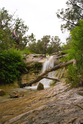
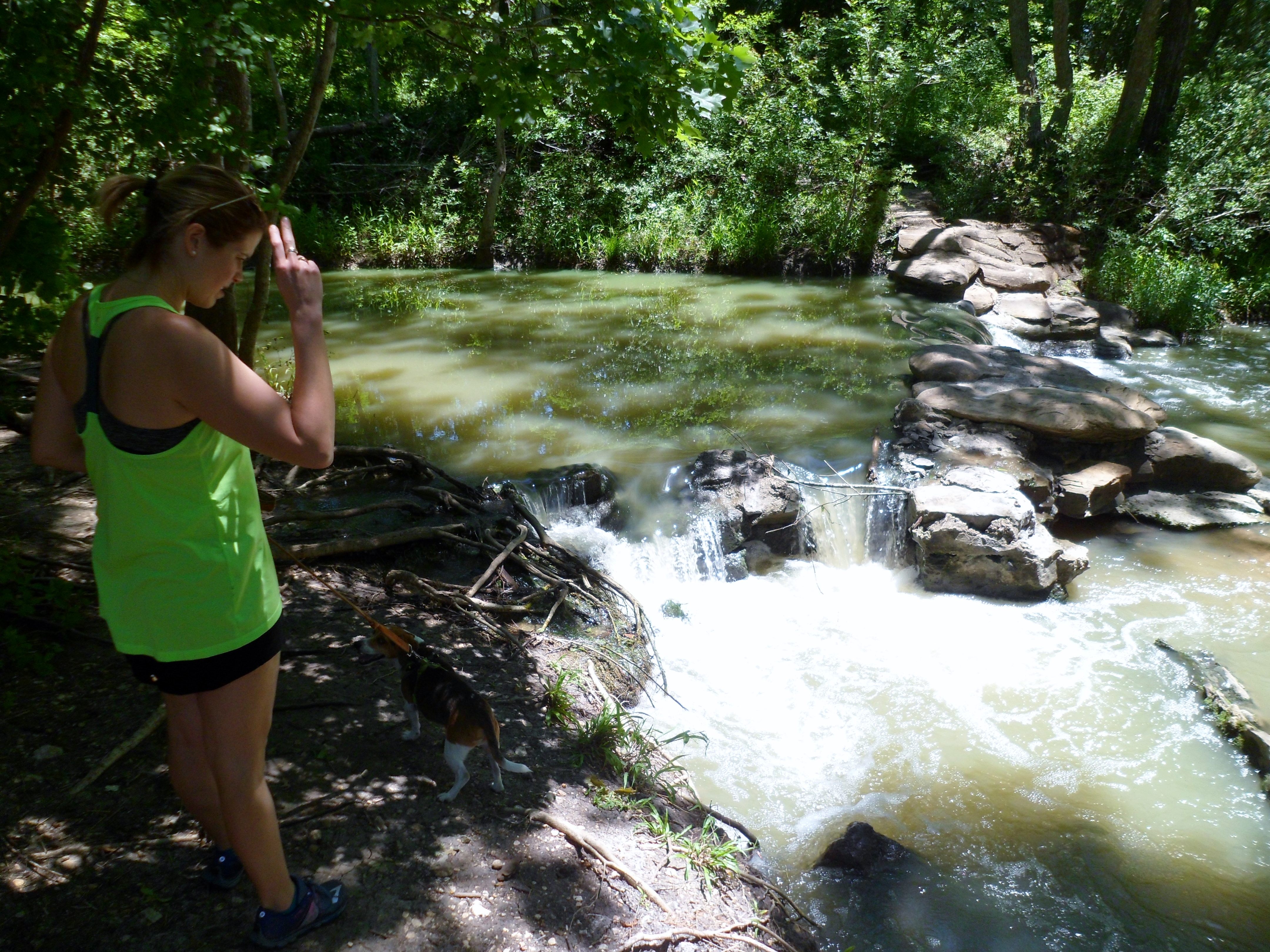
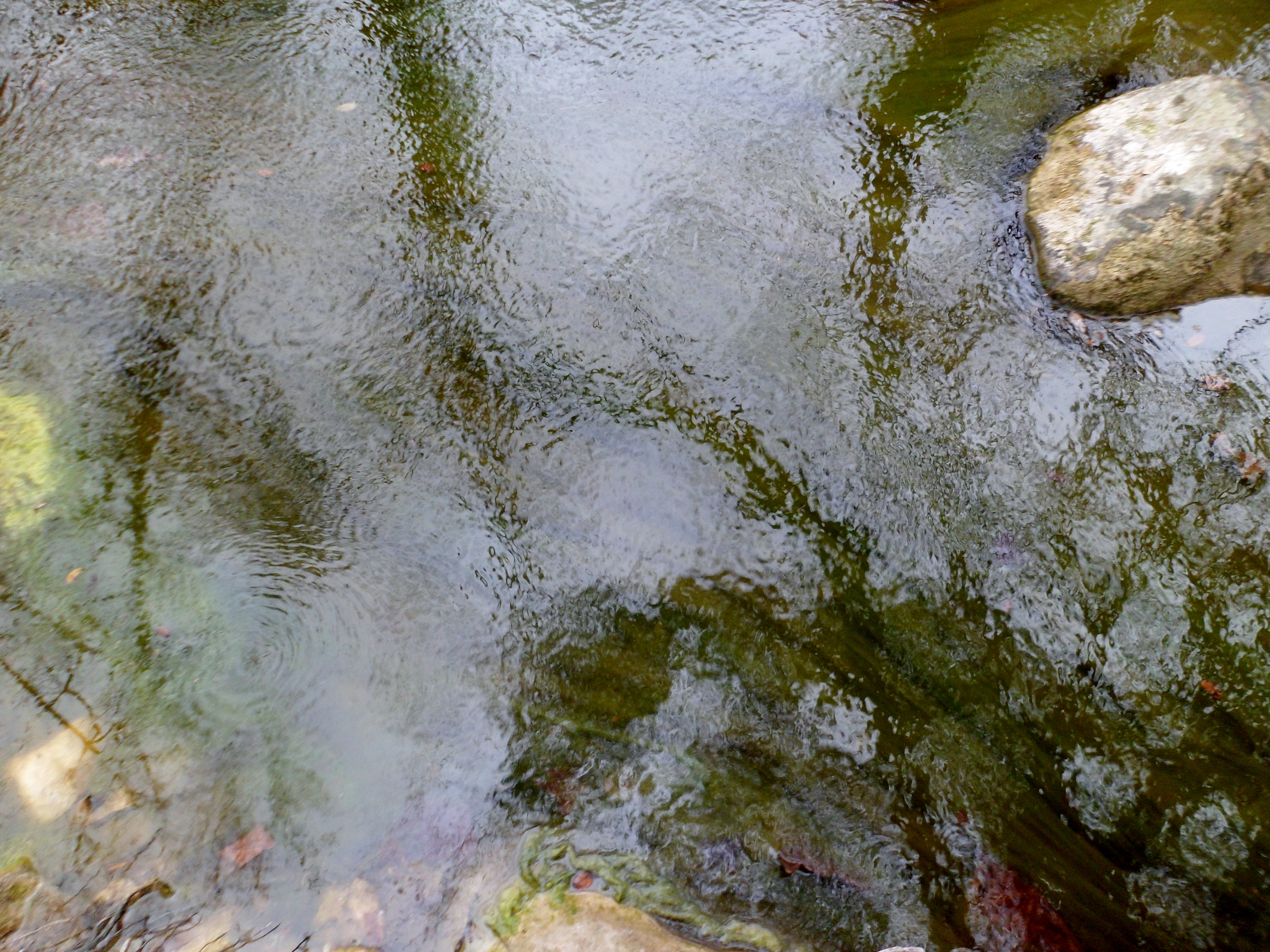
We continued on to the small loop around Wolf Mountain and then headed back down the way we came. On the second crossing of the creeks, we stopped for a while to let Greg experiment with his new camera. I’ve always wanted to be able to get the waterfall shots where the water looks like silk. Greg got a couple of good ones.
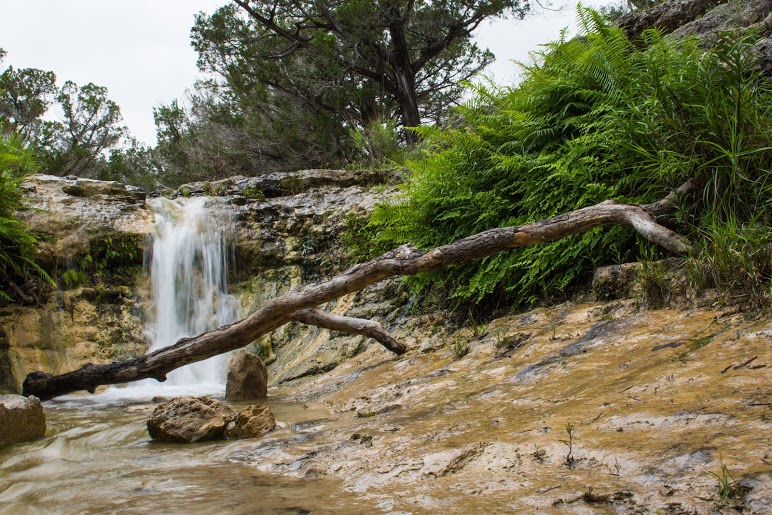
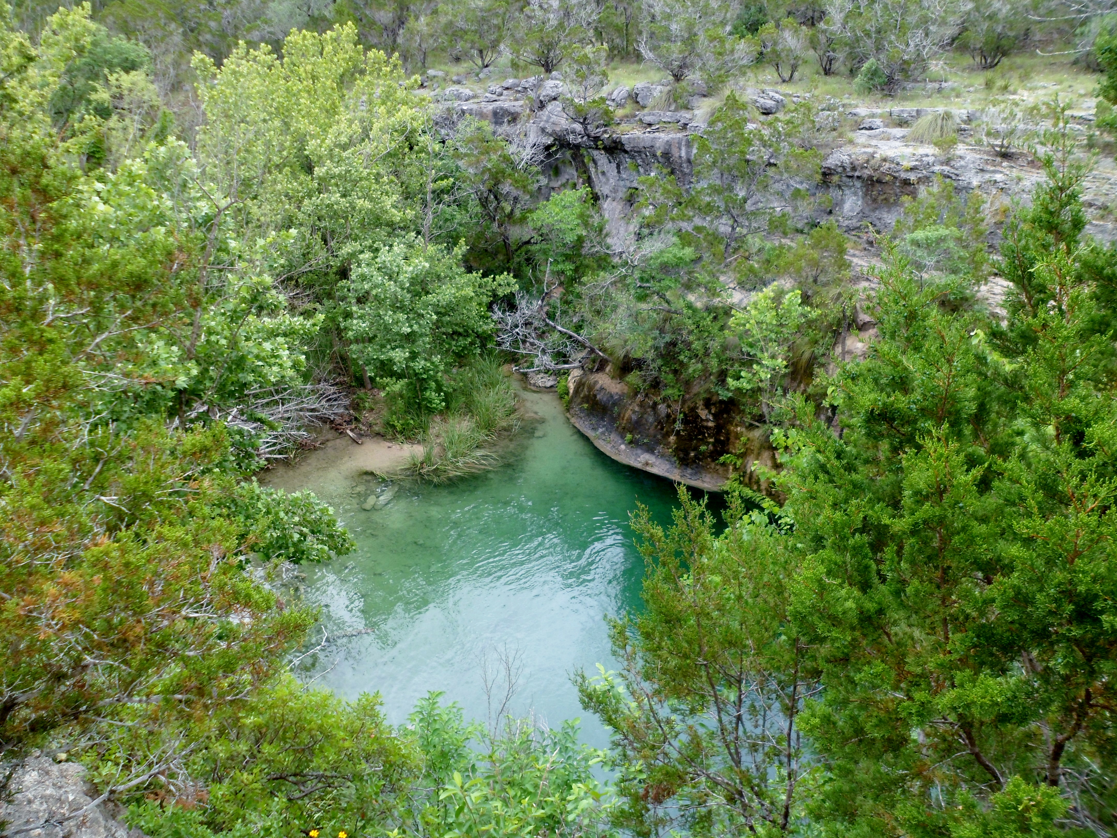
While we were waiting, a biker came by and told us about a swimming hole and a cliff jumping spot just off the trail. We didn’t have time to do it ourselves, but I definitely would have. I got a good video of the biker jumping in. With the temperature creeping toward 90 and the humidity out of control, it would have been amazing.
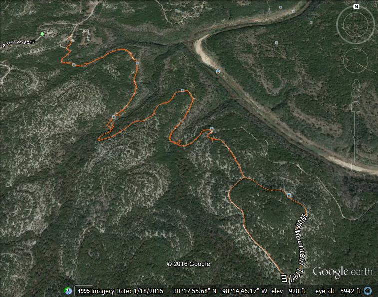
But alas, it was time to head home. I also got to try out my Gaia tracking app, as the Trimble Outdoors app I have always used is being retired. The Gaia app was $20, but so far seems well worth it and the reviews are stellar. The satellite seems much more consistent, you can see your track in real time as you go, and you can also export your track to Google Earth. I’ll learn how to use it a bit better in the future and figure out all the whistles and bells.

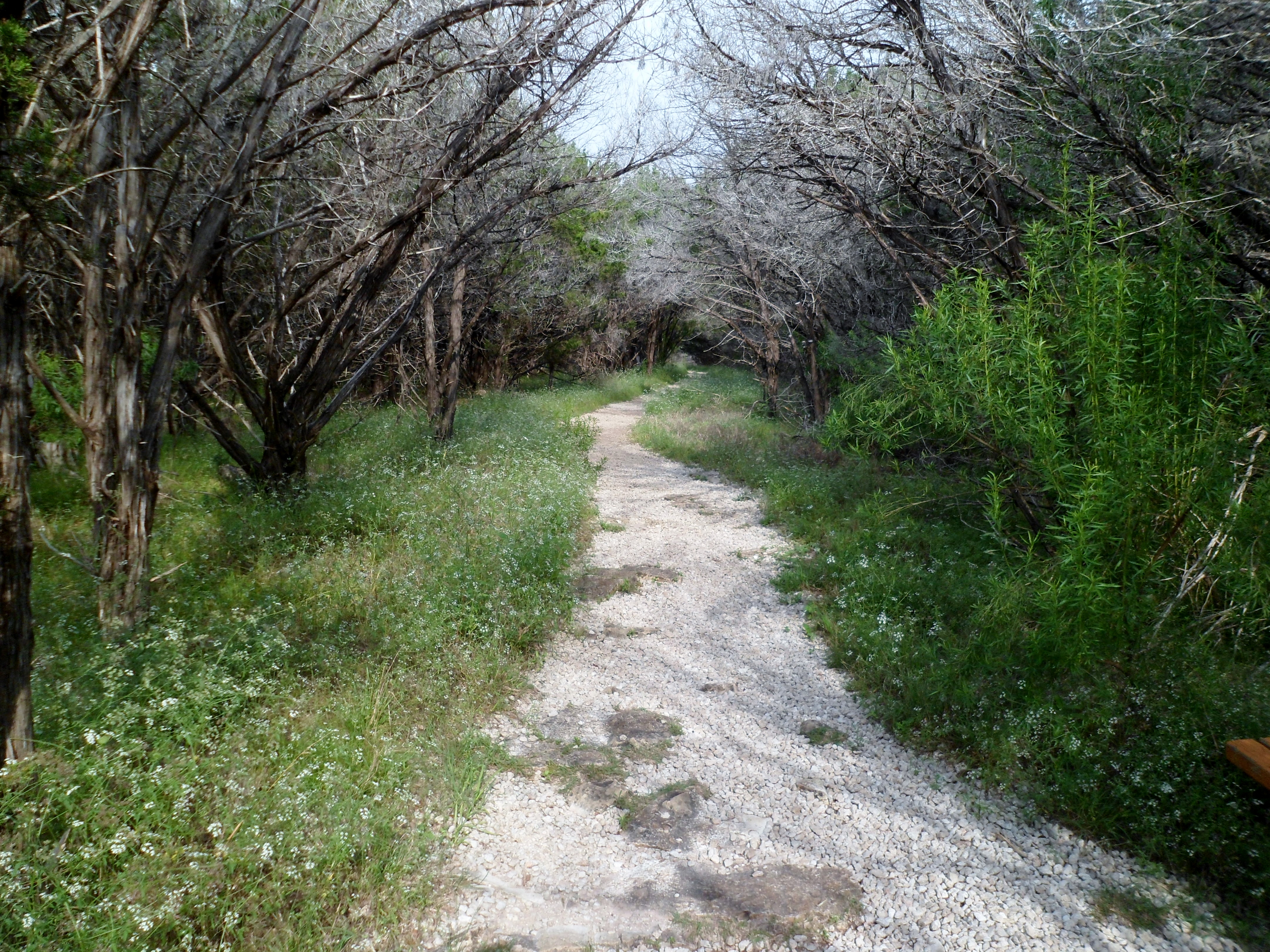
Lake Georgetown – Goodwater Trail, Cedar Breaks TH 5/14/16
Saturday, May 14, 2016
Hike: Lake Georgetown – Goodwater Trail, Cedar Breaks TH
Weather: HUMID, mid 80s, overcast
Hikers: Ian
Length: 7.19 miles
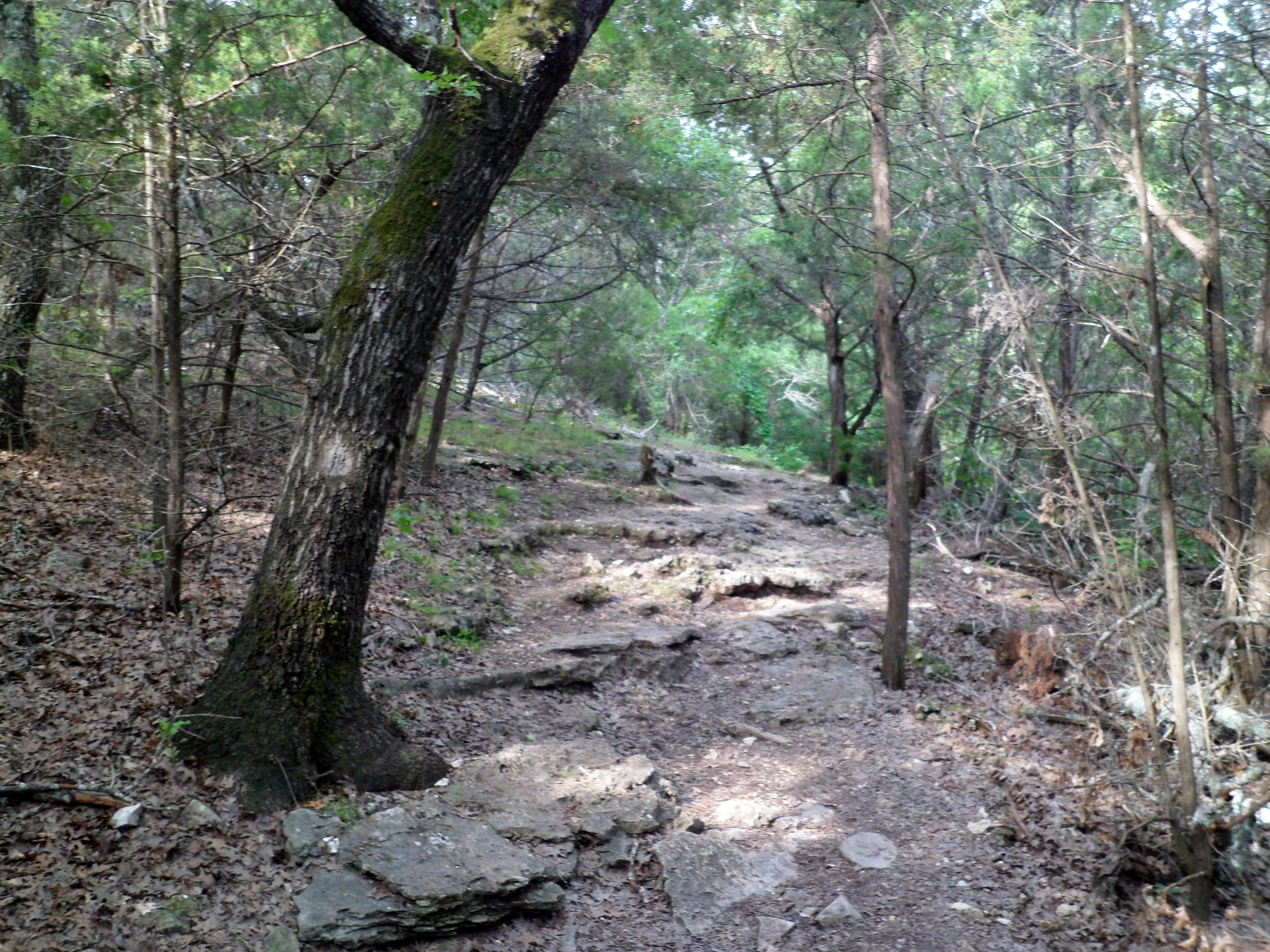
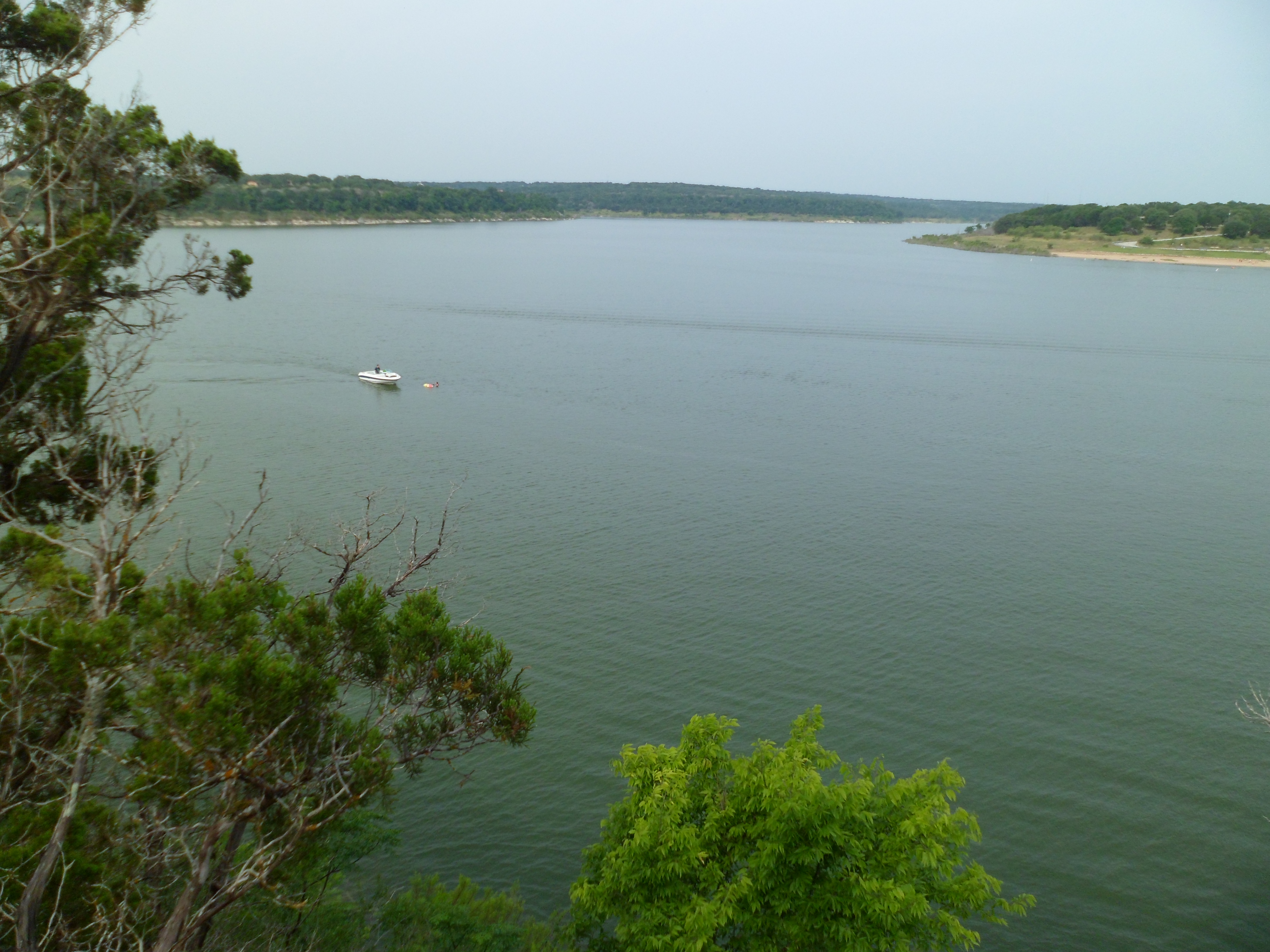
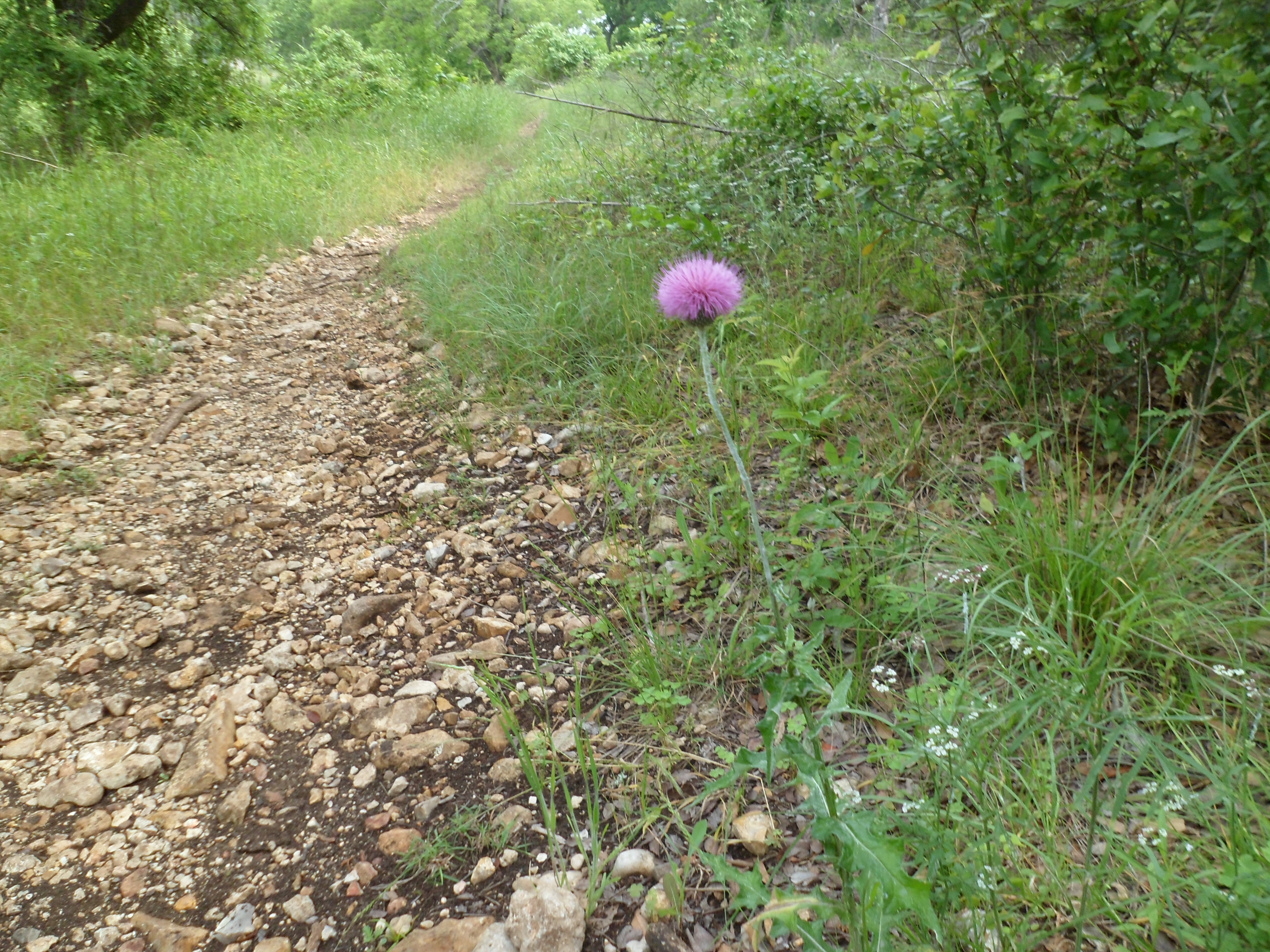
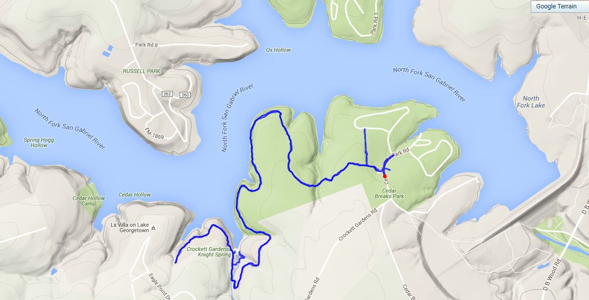
I went out to Lake Georgetown with the intention of hiking a section of the Goodwater Loop that I hadn’t done before, but for the life of me couldn’t find where the trail heads east from the trail head, only west to the section I did last January. But that section was very beautiful, so a repeat was in the cards. Started just about 9am.

The trail starts out pretty rocky and then climbs up to border the lake for a while. The water is about 30 feet below and there are some pretty good views of the lake, especially with it being completely full. I saw several hikers and a couple of backpackers. There were a lot of boats out on the lake today too.
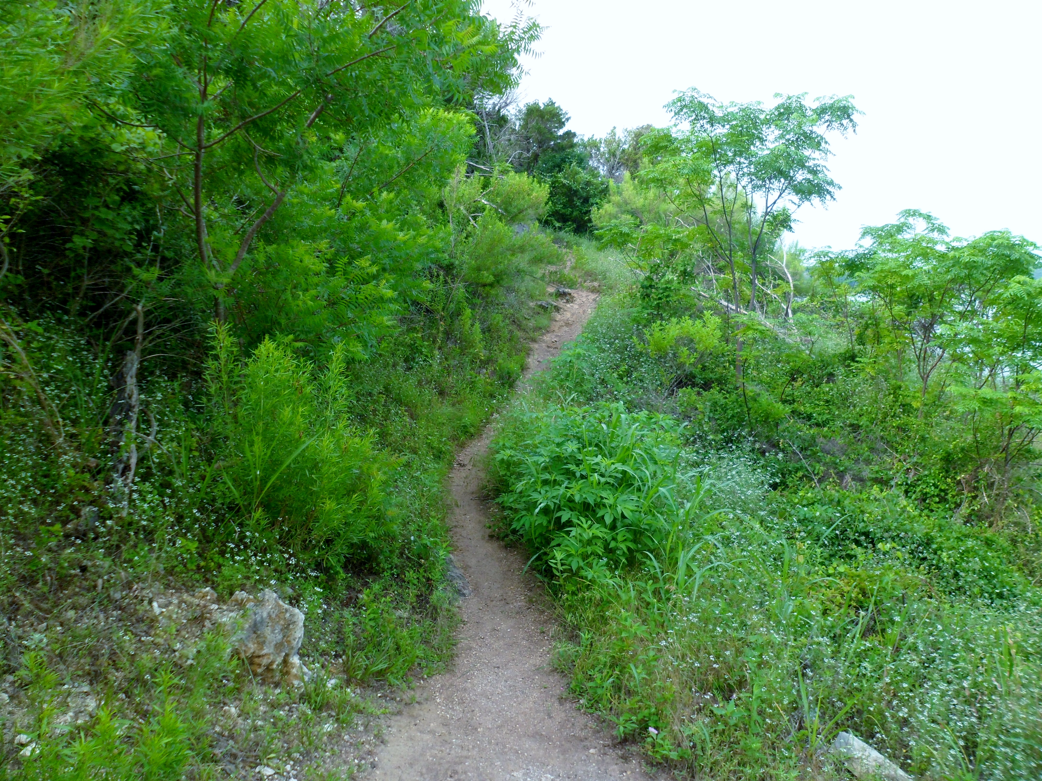
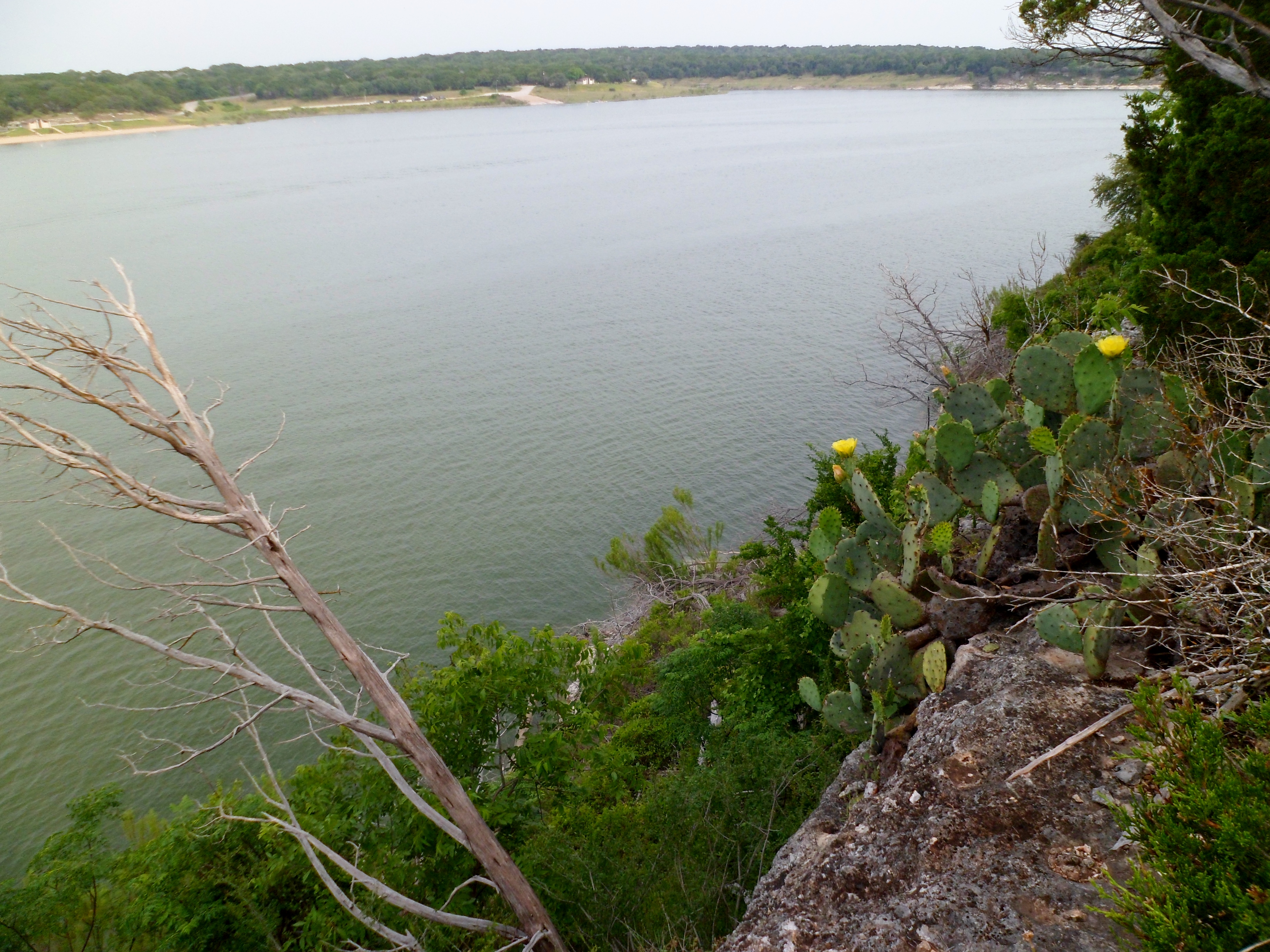
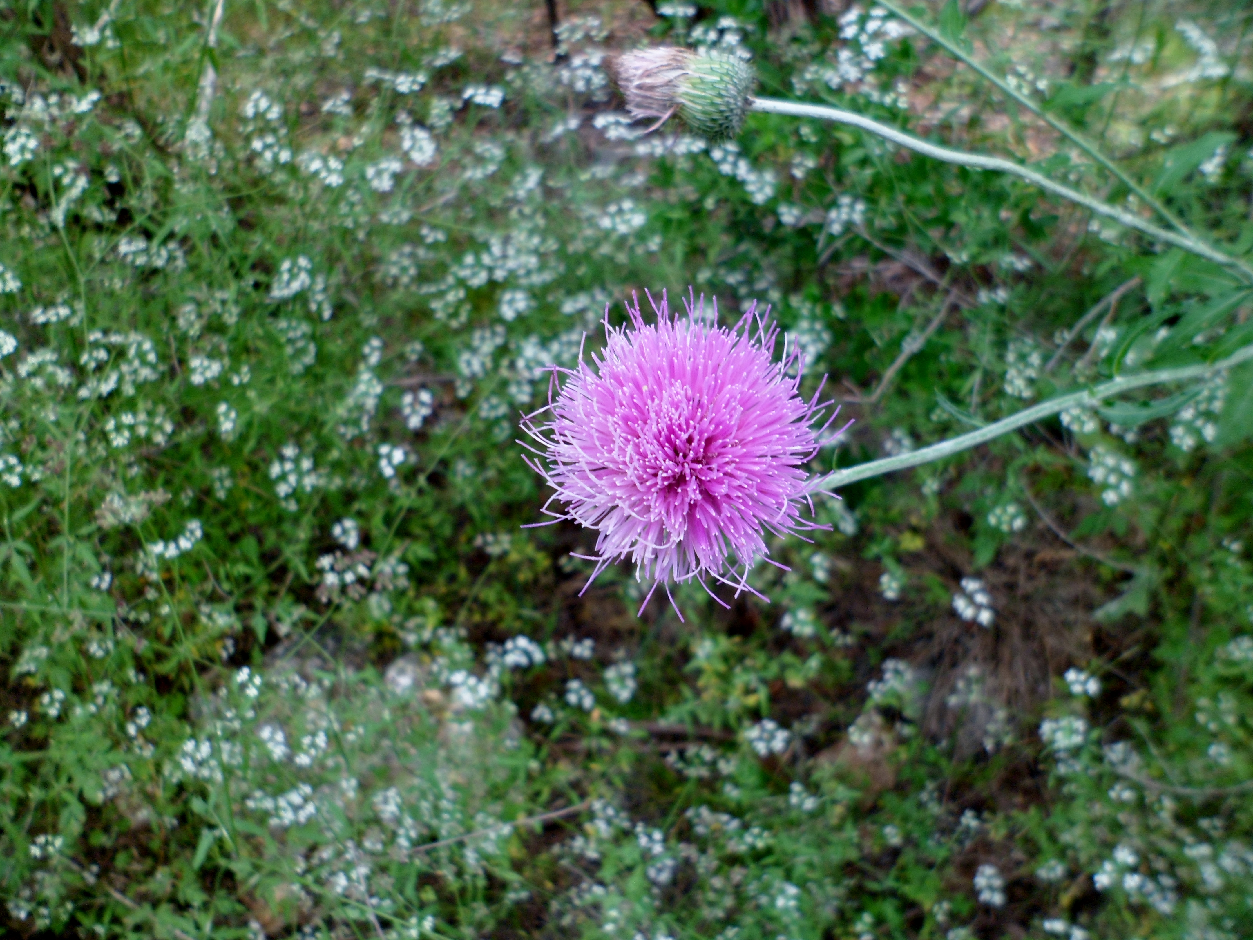
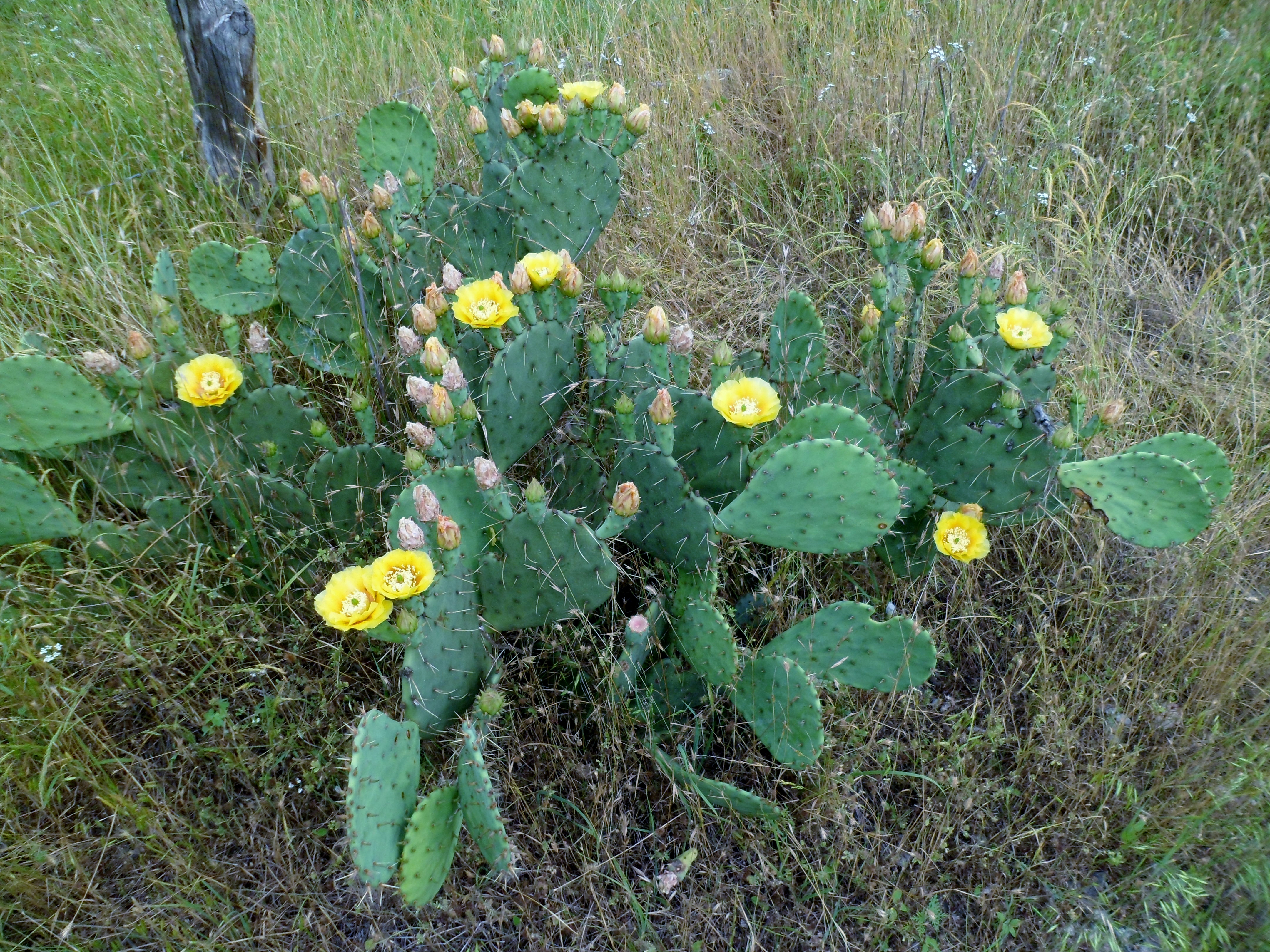
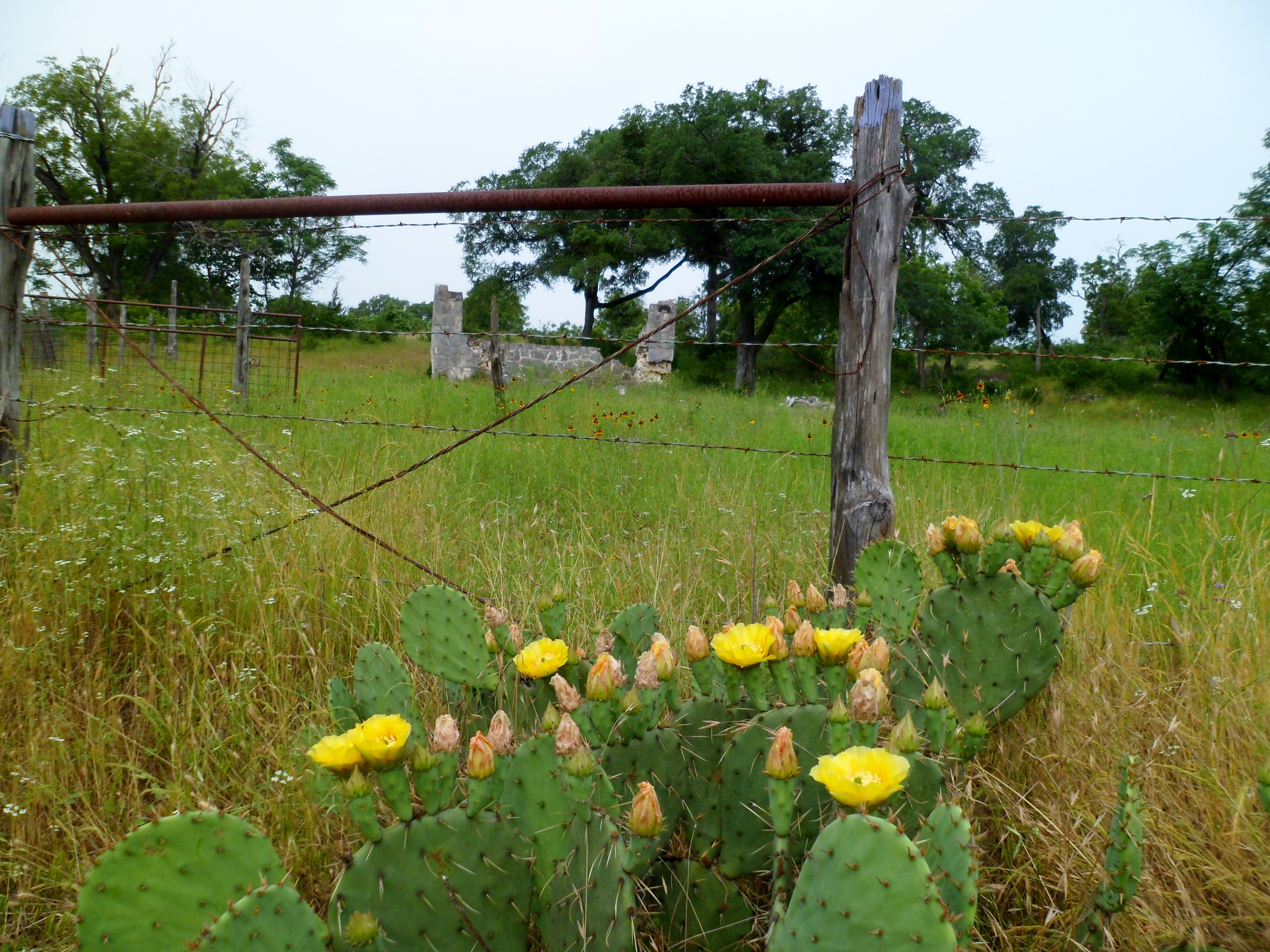
The bluebonnets are long gone, but the fire wheels, prickly pear cactus flowers, and tons of other wildflowers are going strong.

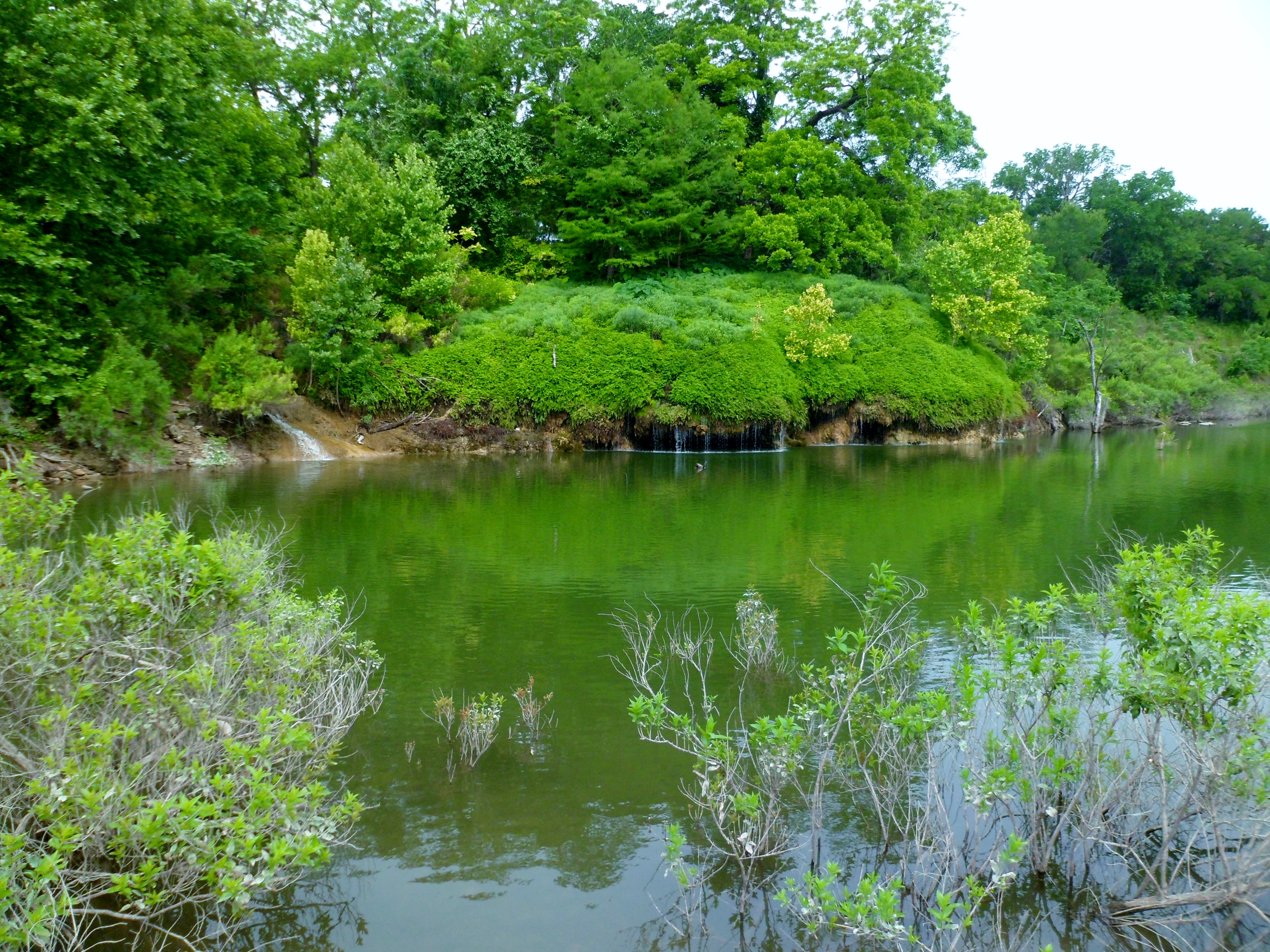
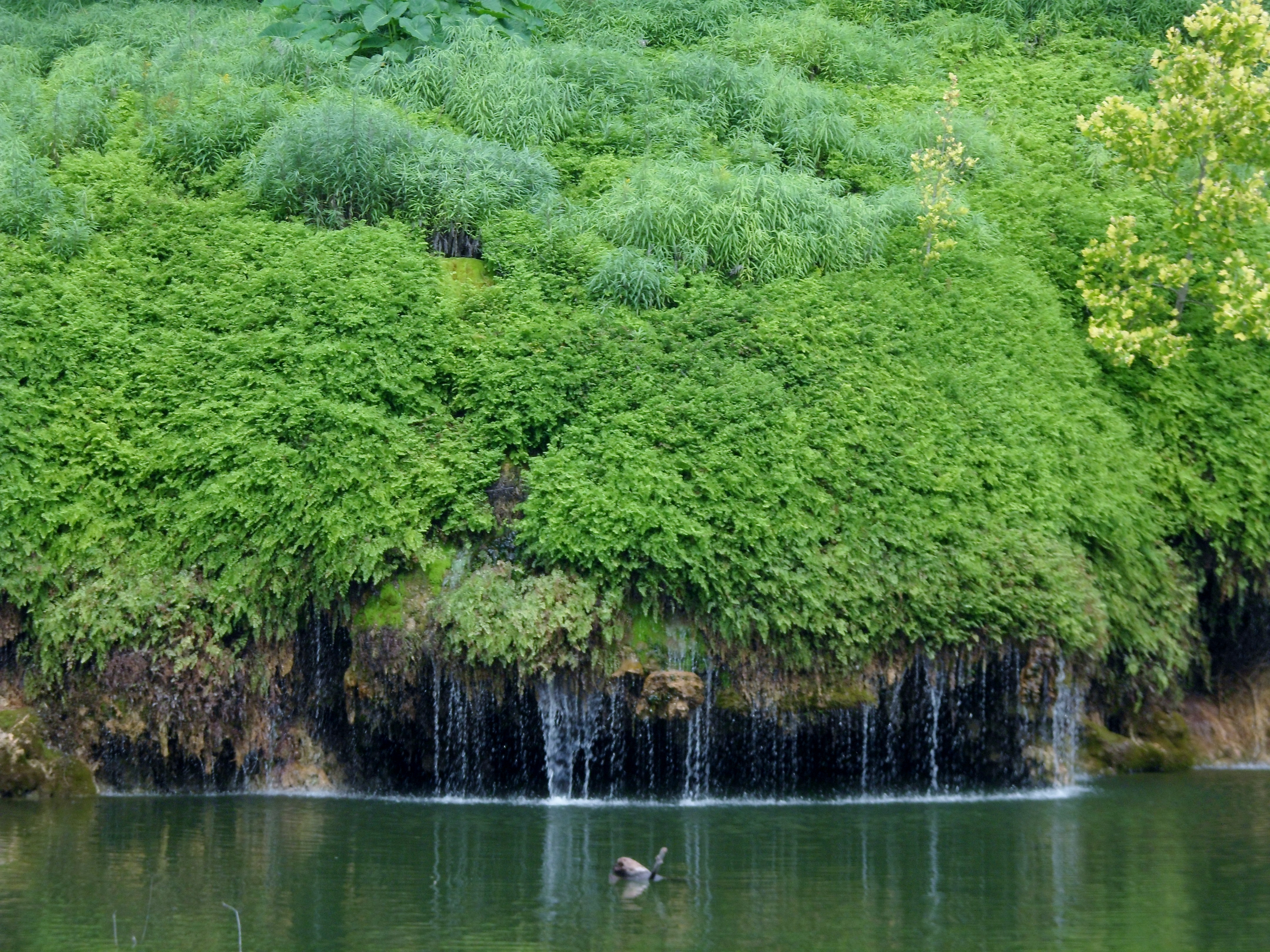
I got down to Crockett Garden Falls and it was a completely different experience from last time where we could actually walk under the falls. Now they were about 20 feet out into the water and only about 4 feet high. Still very beautiful though.
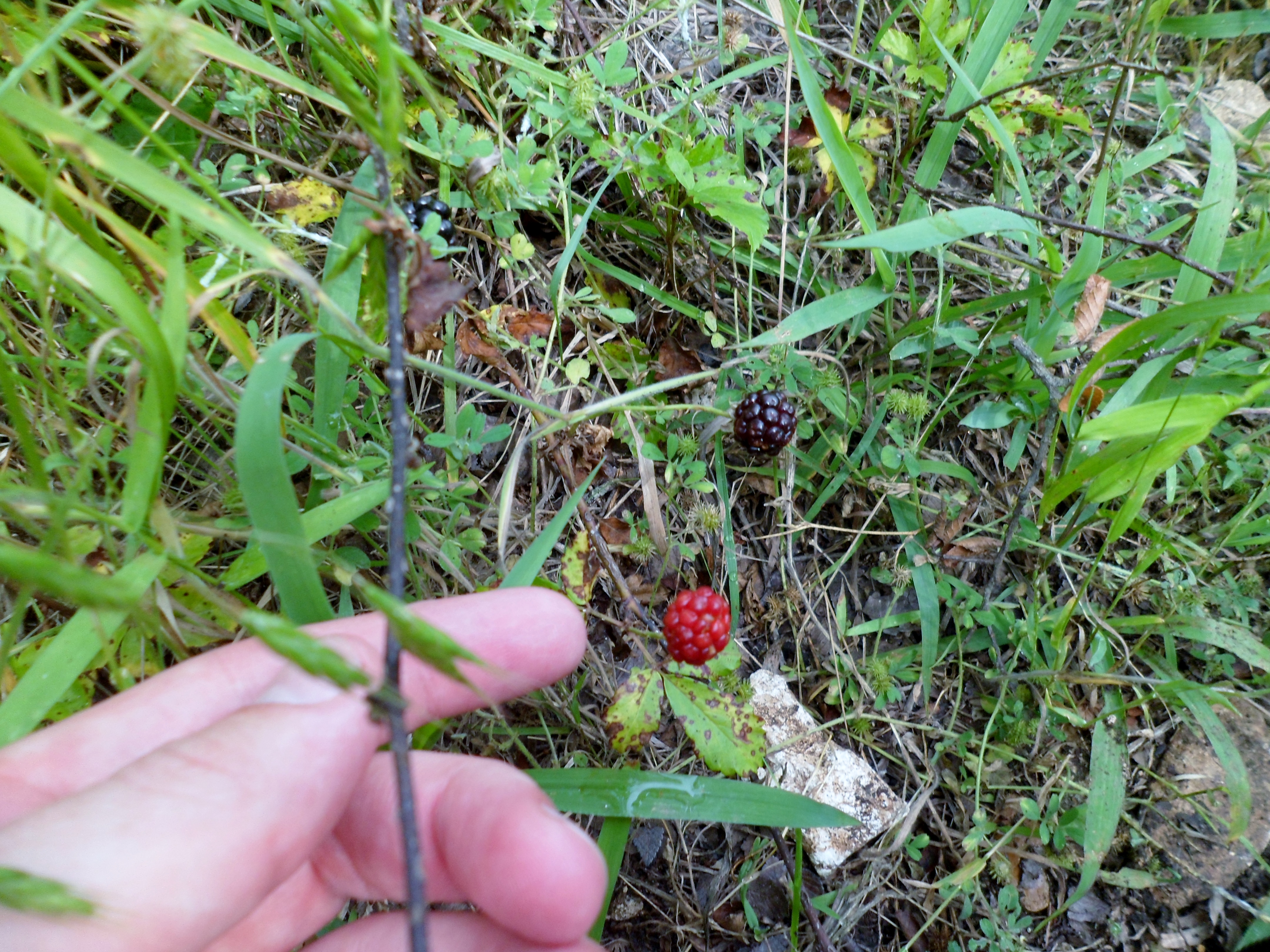
I went a little further past the falls to the 3 mile marker and stopped to eat a quick early lunch and check on the weather. Storms were forecast to hit the area in a couple of hours, so I decided to turn around and head back a little earlier than planned. I took a quick side trail near the trail head out and back and then got back to the car just as the rain drops started to fall. Great hike near Austin that I highly recommend.
Lockhart State Park 5/7/16
Saturday, May 7, 2016
Hike: Lockhart State Park – various trails
Weather: warm, upper 70s, partly cloudy
Hikers: Ian, Court, Biff
Length: 2.36 miles

Courtney and I went out to Lockhart State Park on a whim on Saturday morning along with Biff. She was moving offices so we had to go down south anyway and we wanted to do something different. Lockhart State Park isn’t very big, but it’s a nice place. It’s about 45 minutes south of Austin just outside the town of Lockhart.
When we got to the headquarters, I decided to bite the bullet and buy a Texas State Parks Pass. It costs $70, but covers entrance fees to any State Park for me and anyone in my car for the year. Well worth it.
There are only a few miles of trails in the park, so we made a loop out of several and got a quick hike in. The trails were well marked and easy to follow. Some elevation change, but not much.
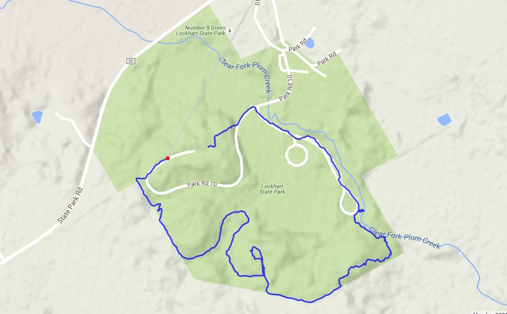

The creek that flows through the park, Clear Fork Plum Creek, was pretty silty due to recent rains and not very pretty, unfortunately. The trail was supposed to cross the creek towards the end, but the creek was pretty high and basically un-fordable, so we had to road walk a bit to get back to the car. Overall a nice hike, albeit short.


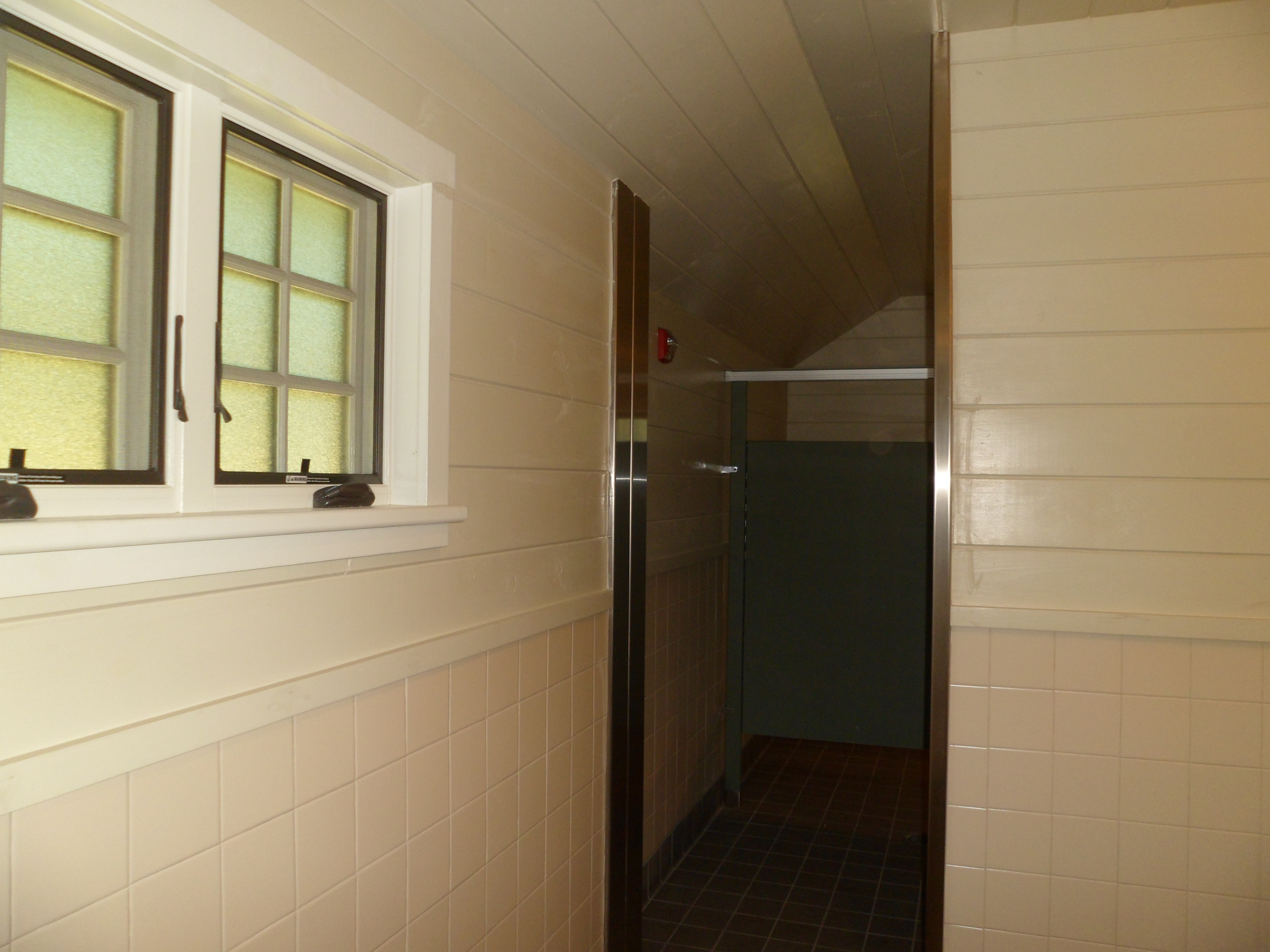
Court also insisted on getting pics of the restroom near the trail head, as she said it is the nicest State Park restroom she has ever seen. Ha.

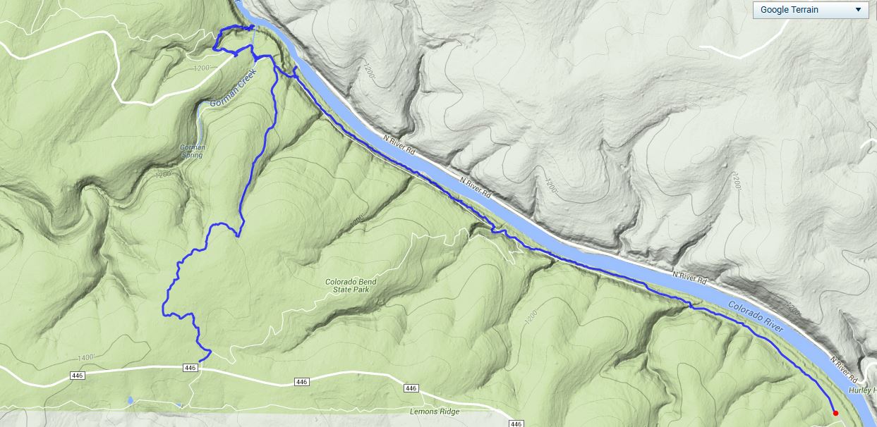
Colorado Bend State Park Overnight 4/9 – 4/10/16
Saturday and Sunday, April 9th and 10th, 2016
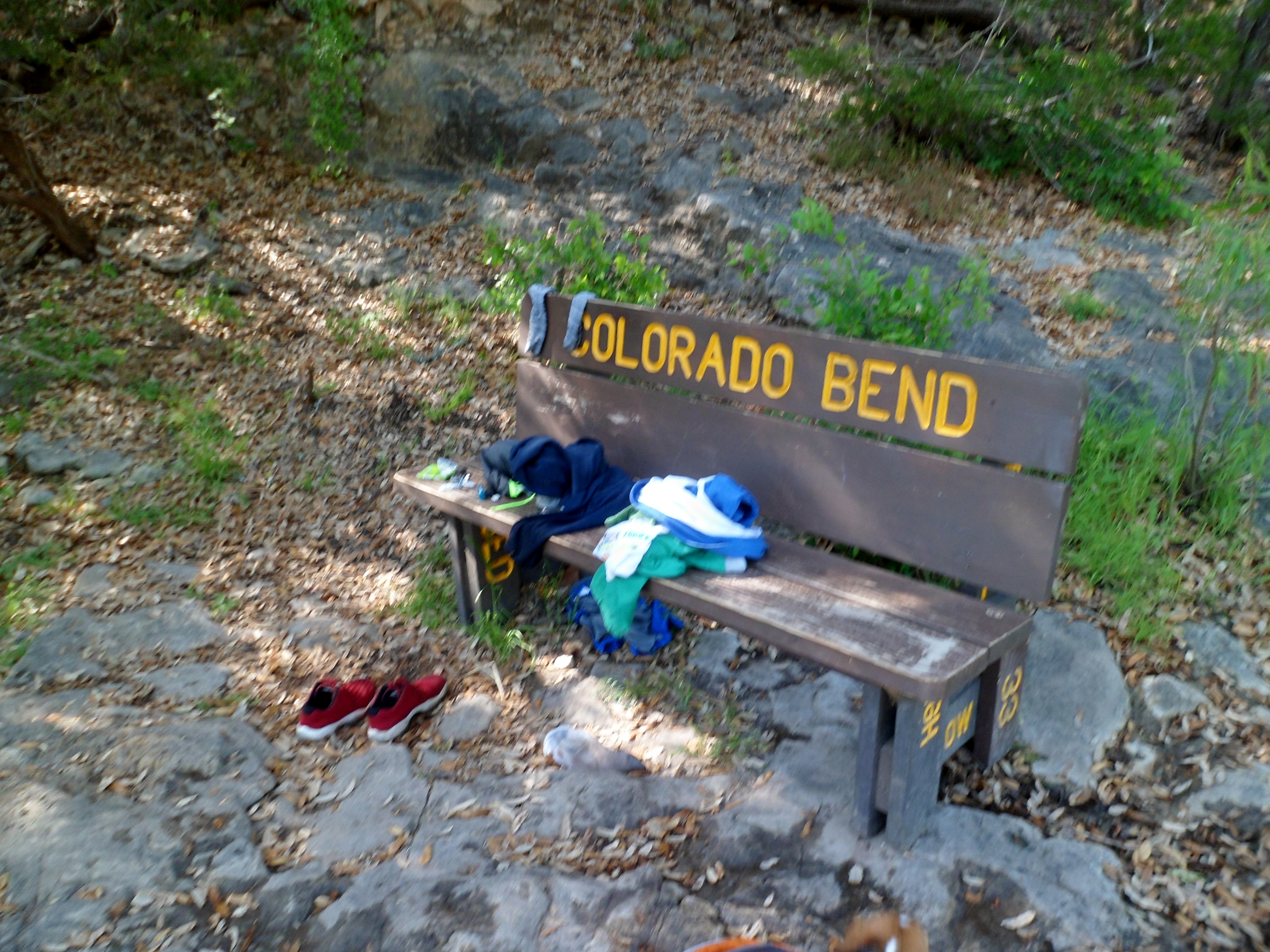
Colorado Bend State Park – near San Saba, TX
About 14 miles total
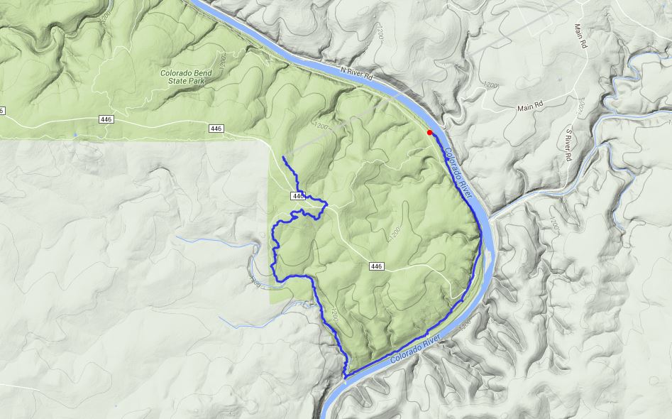
We made the 2 hour drive out through Lampasas and west over to Colorado Bend State Park this past Saturday morning amidst some early rainy weather. The bluebonnets lined the roads all the way and the rain finally subsided just as we got to the park.

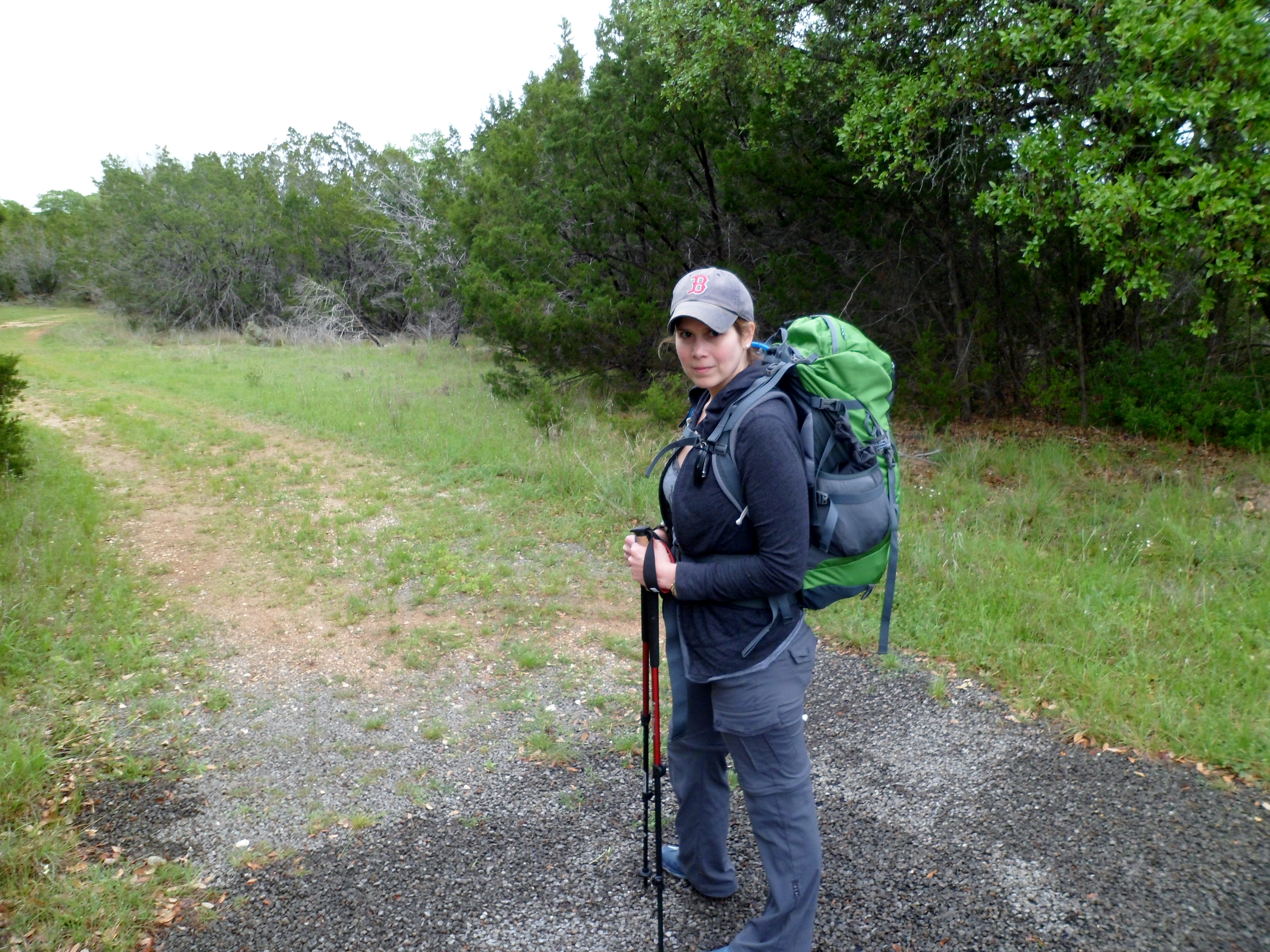
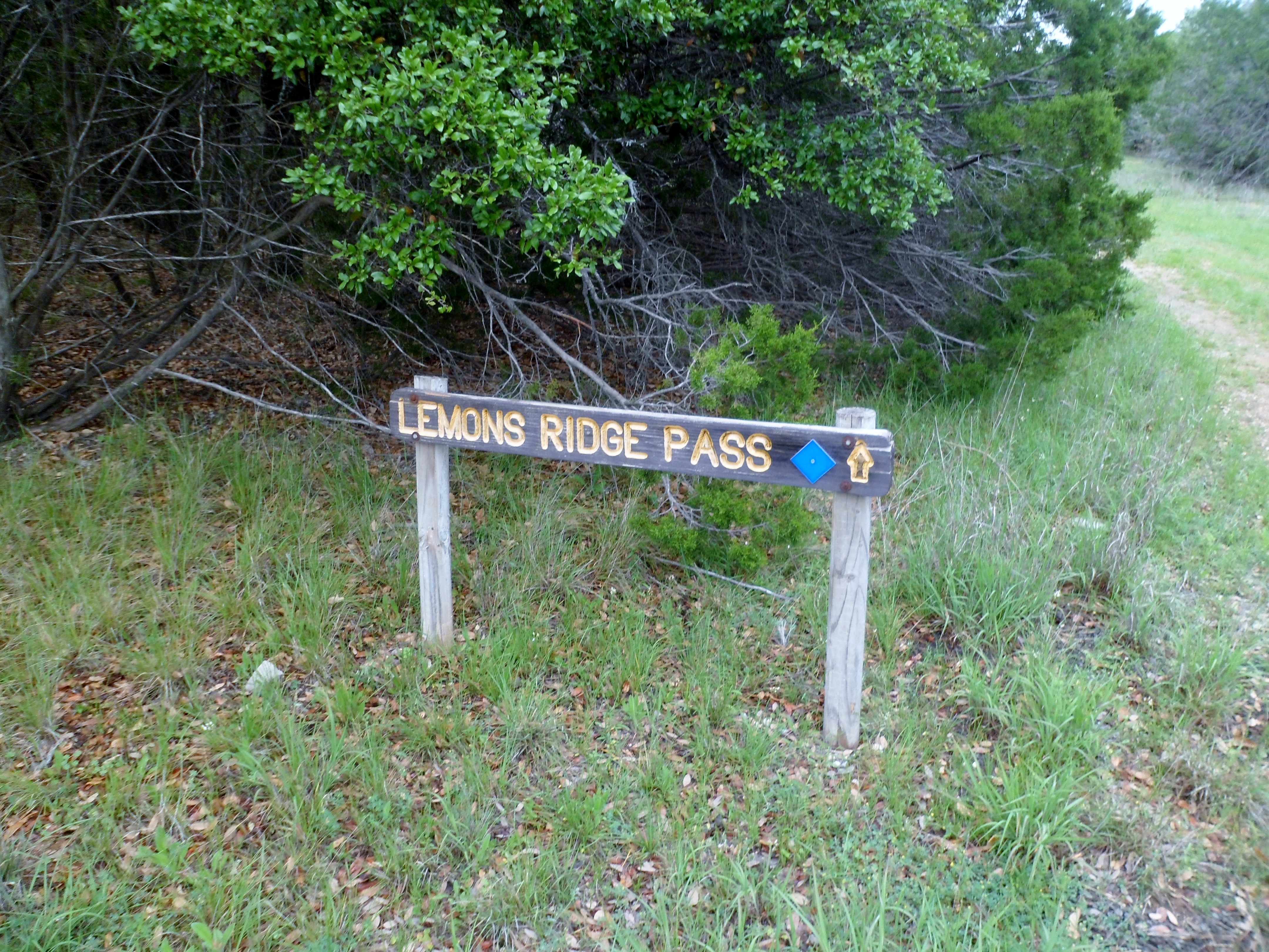
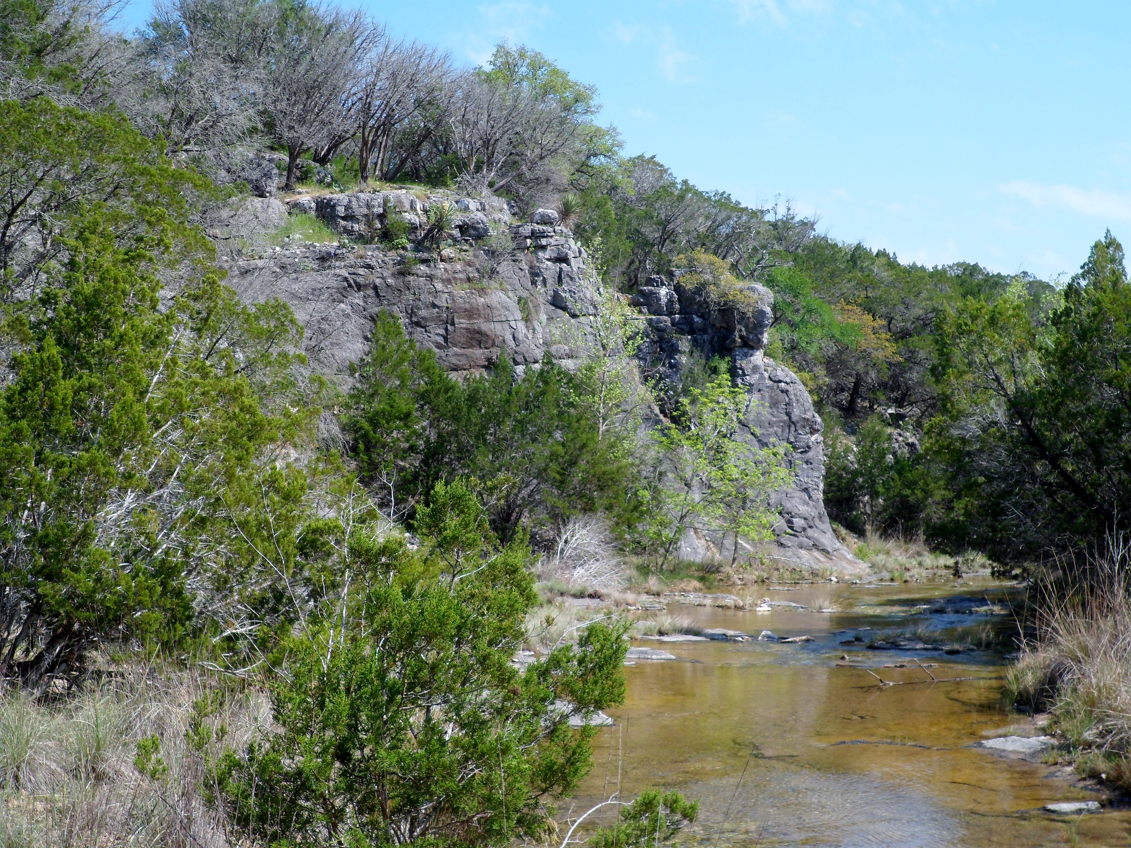
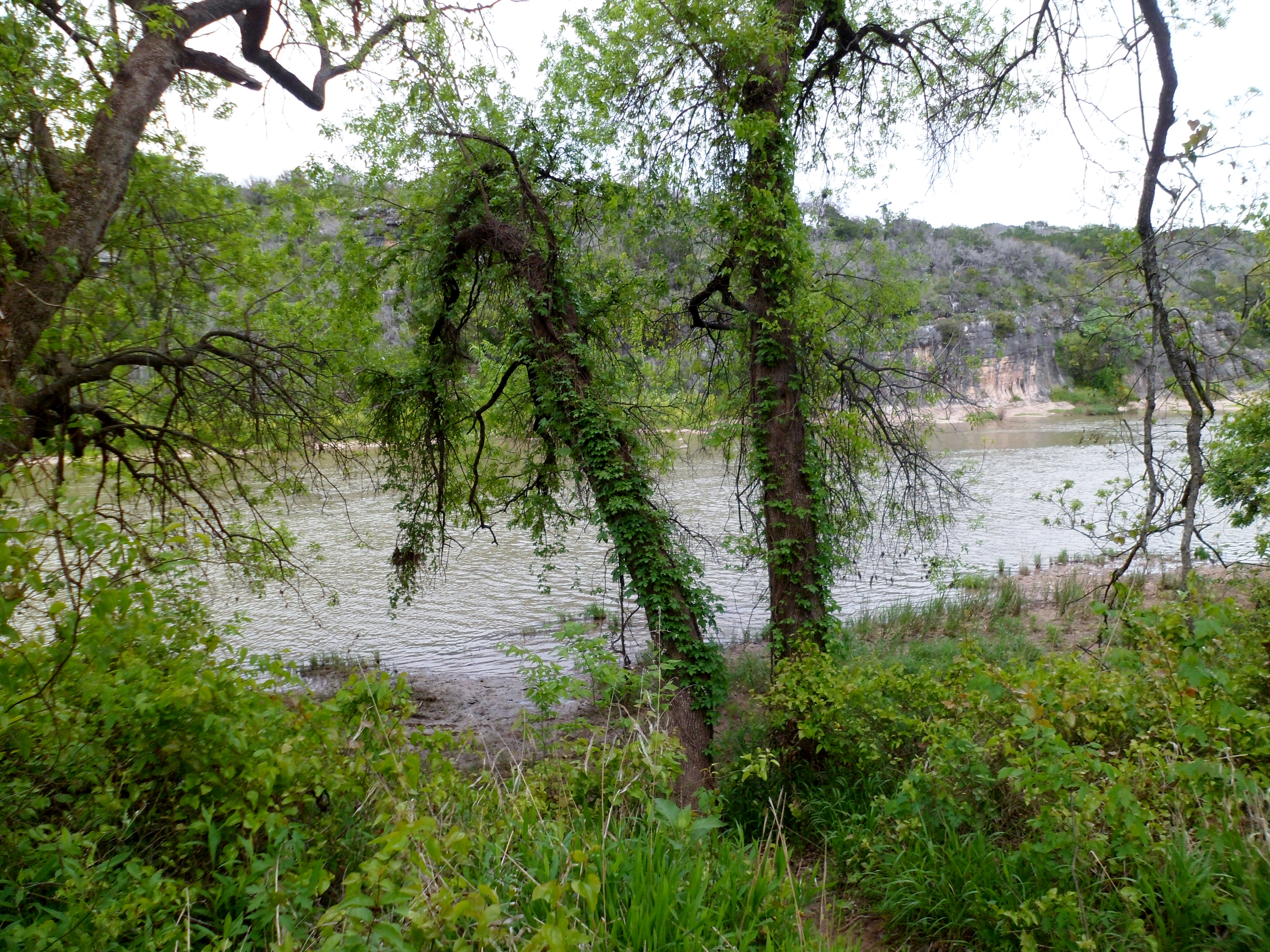
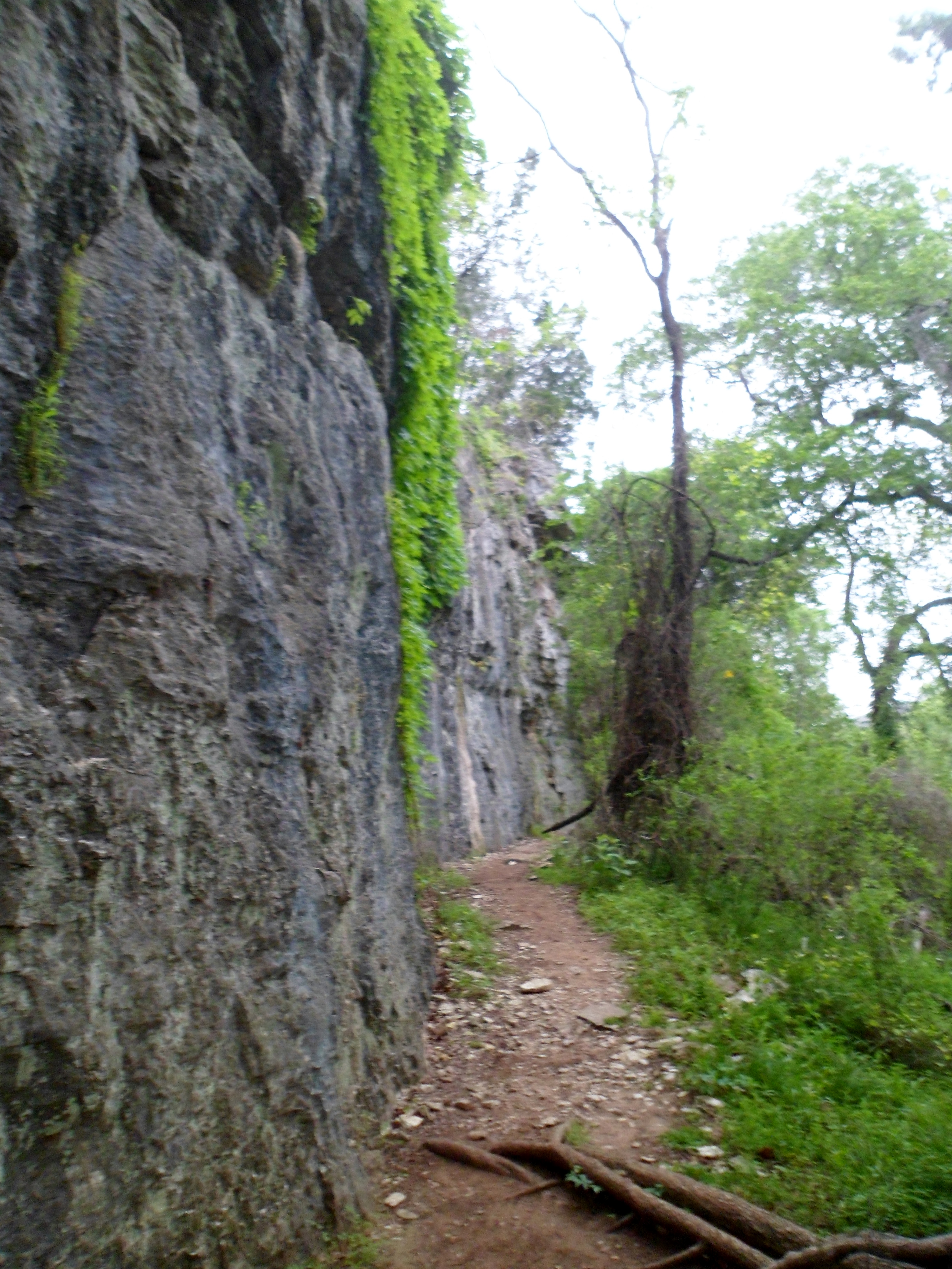
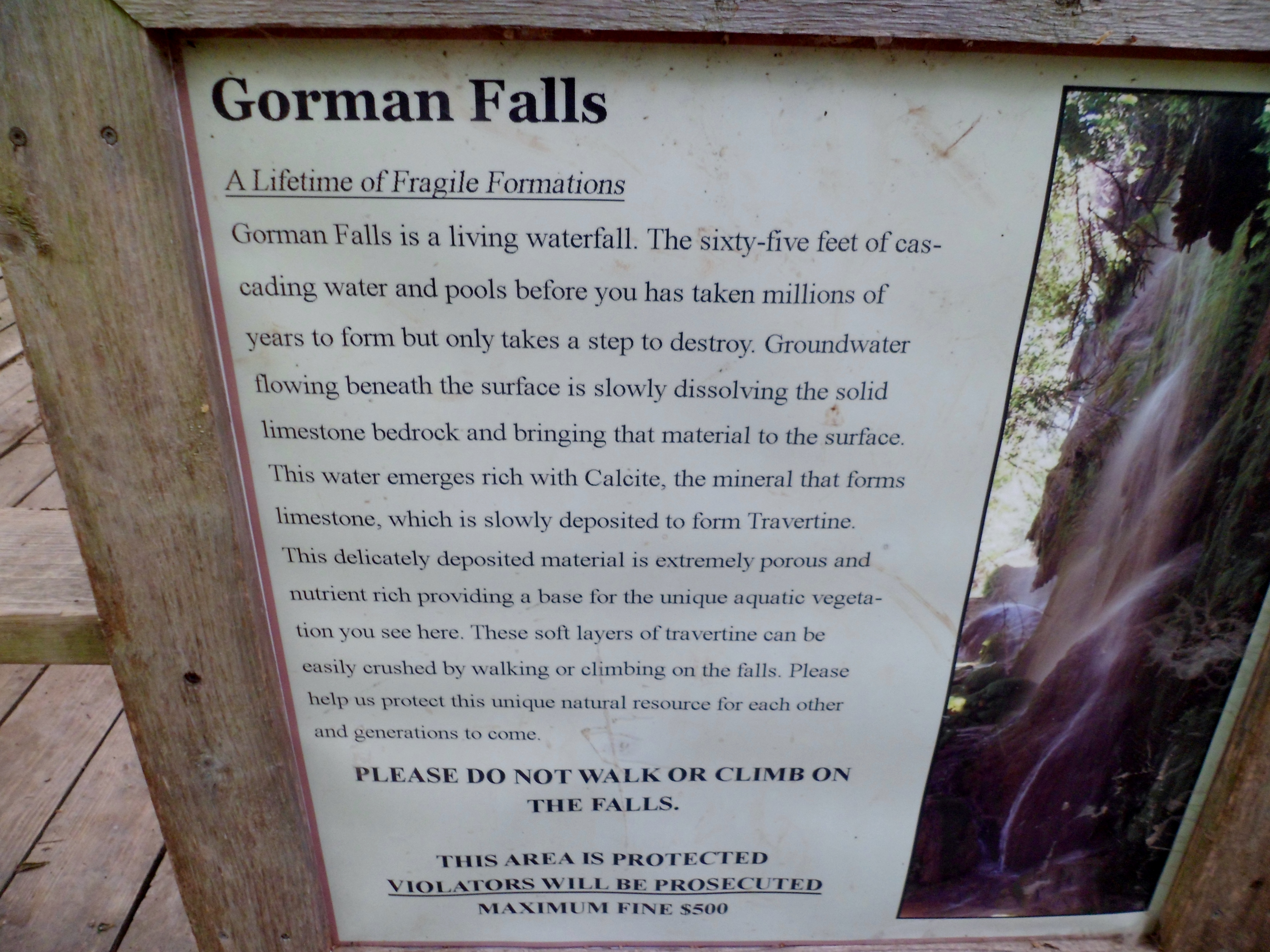
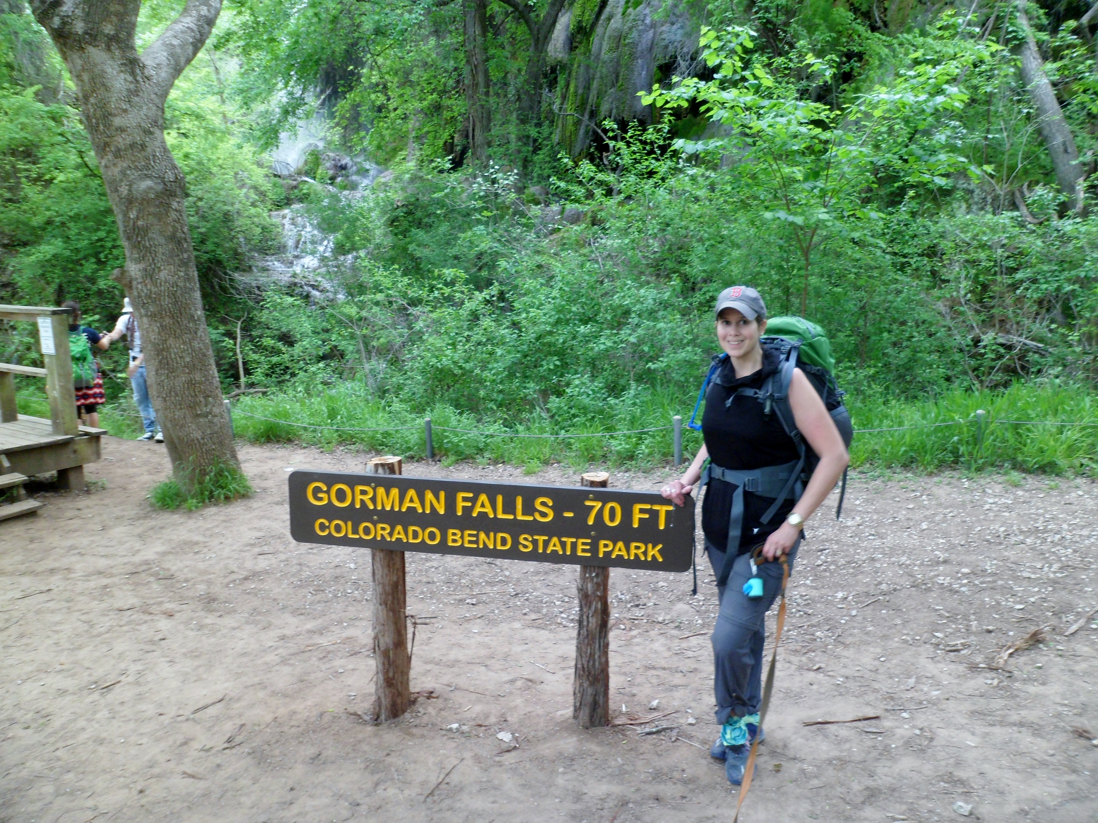
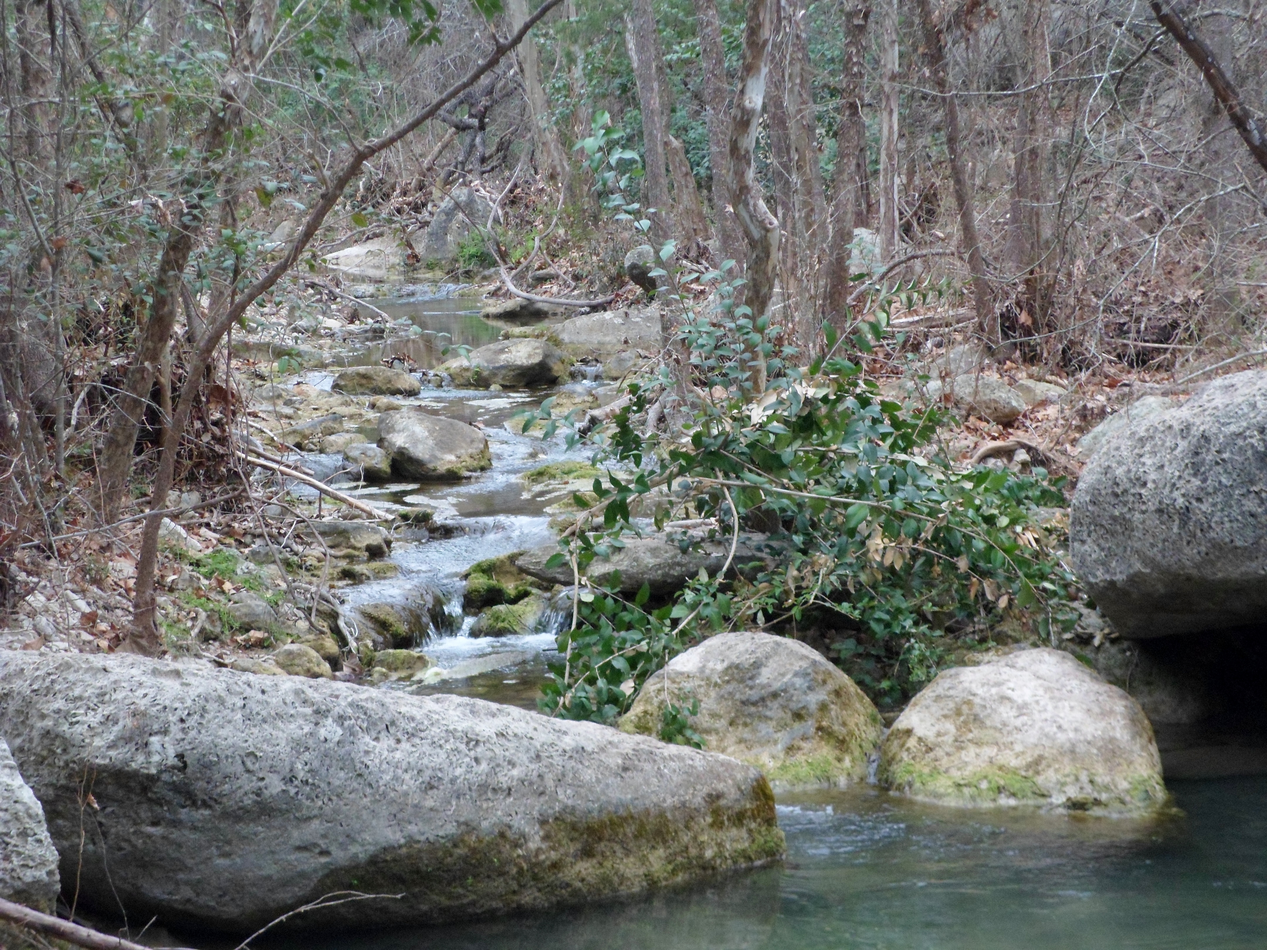
We stopped at the ranger station to check in and I went over my proposed route. We were advised to wait to do Gorman Falls until the next day, as the rocky trail leading down to the falls was at a 45 degree angle and like glass when it was wet. Therefore we ended up taking a more southerly route down Lemons Ridge Pass to the Spicewood Springs Trail. This turned out to be very beautiful and the overcast skies eventually gave way to clear and sunny, with the temperatures hanging in the mid-70s. Perfect hiking weather.


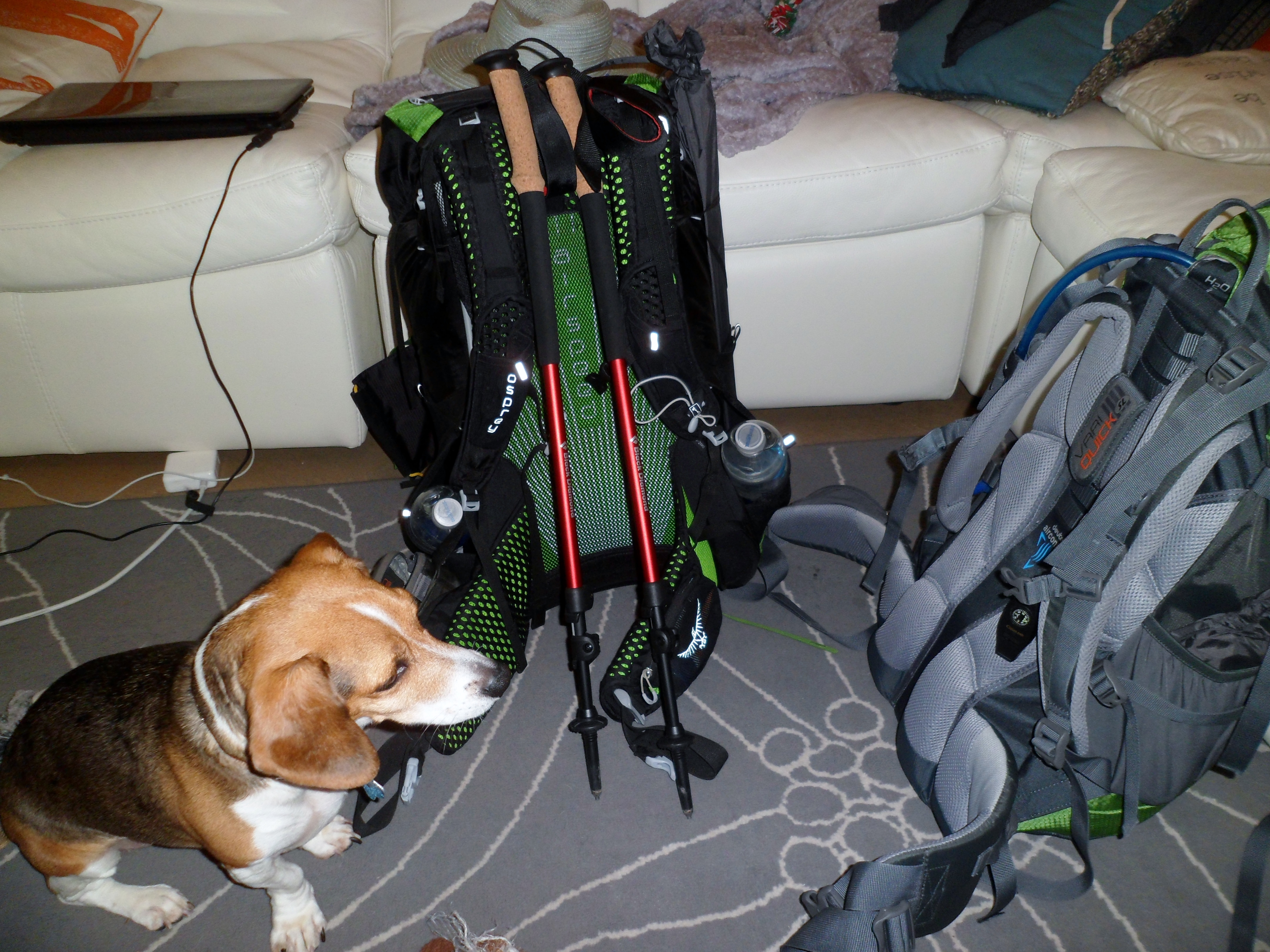
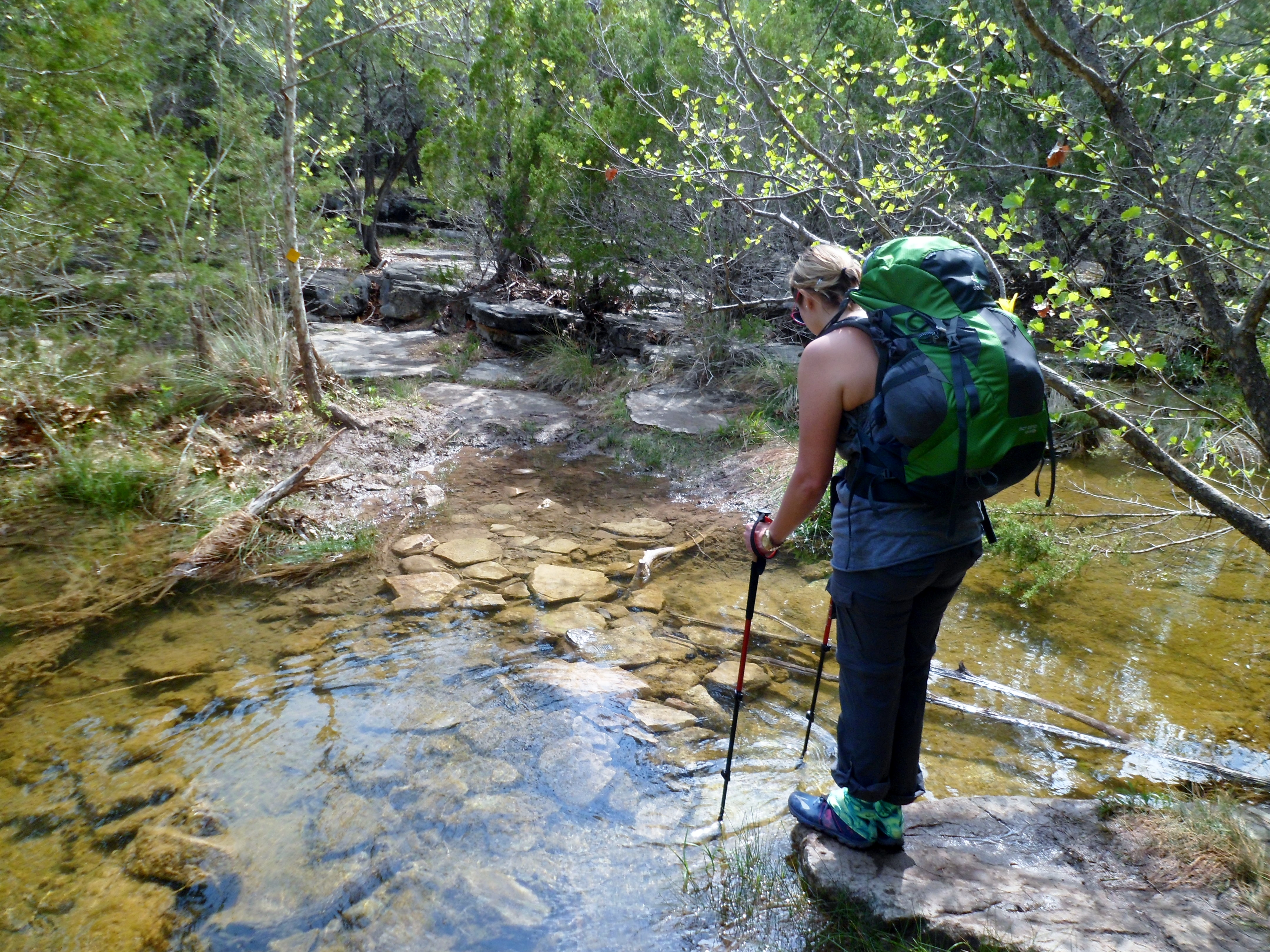
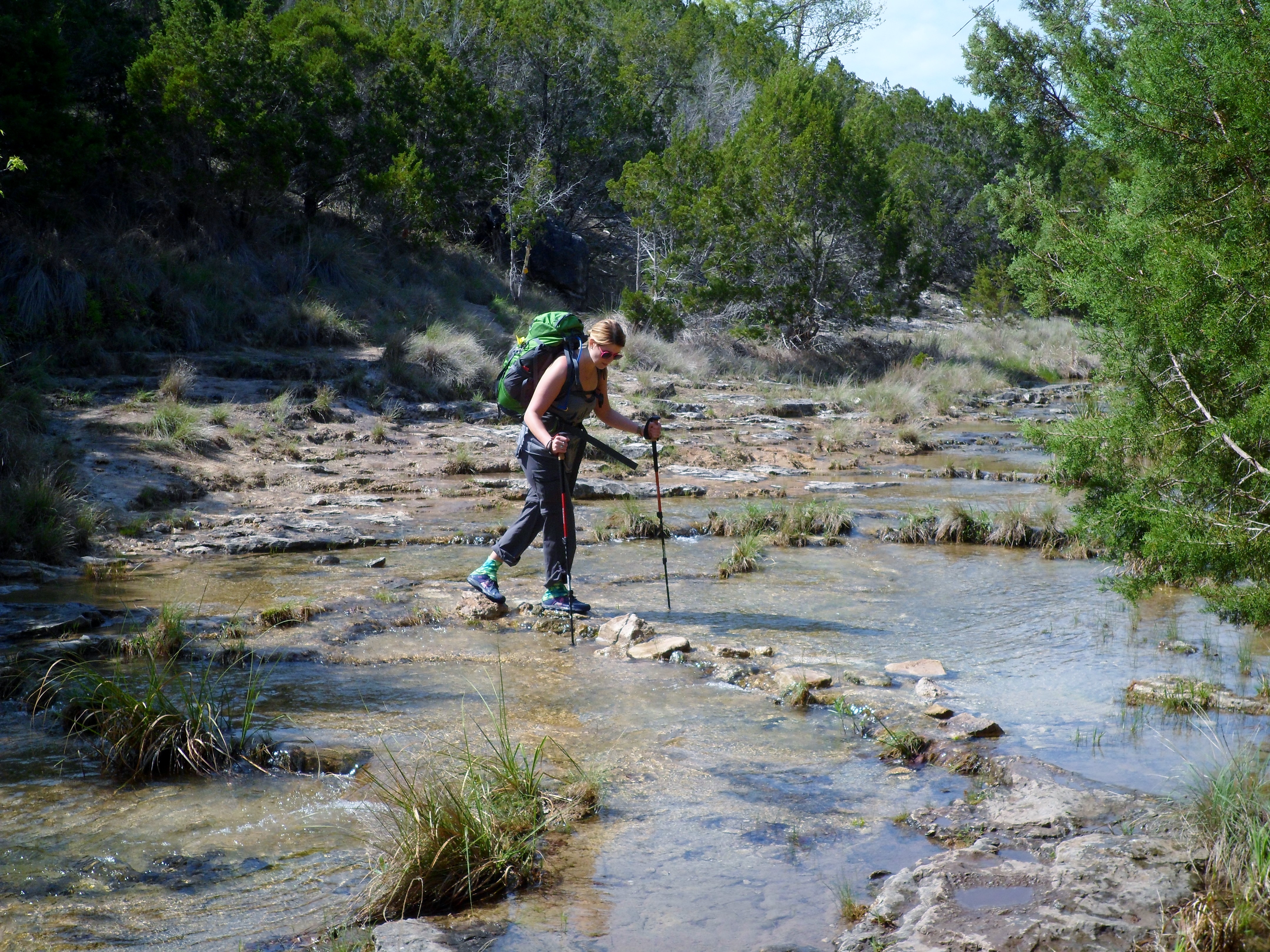
The trail went down into Spicewood Canyon and meandered back and forth across the creek several times, past multiple waterfalls and plenty of beautiful scenery. Court used the new trekking poles to ford the crossings, which was quite helpful. Biff of course needed no such help as he bounded into the water and made his way across without trouble.


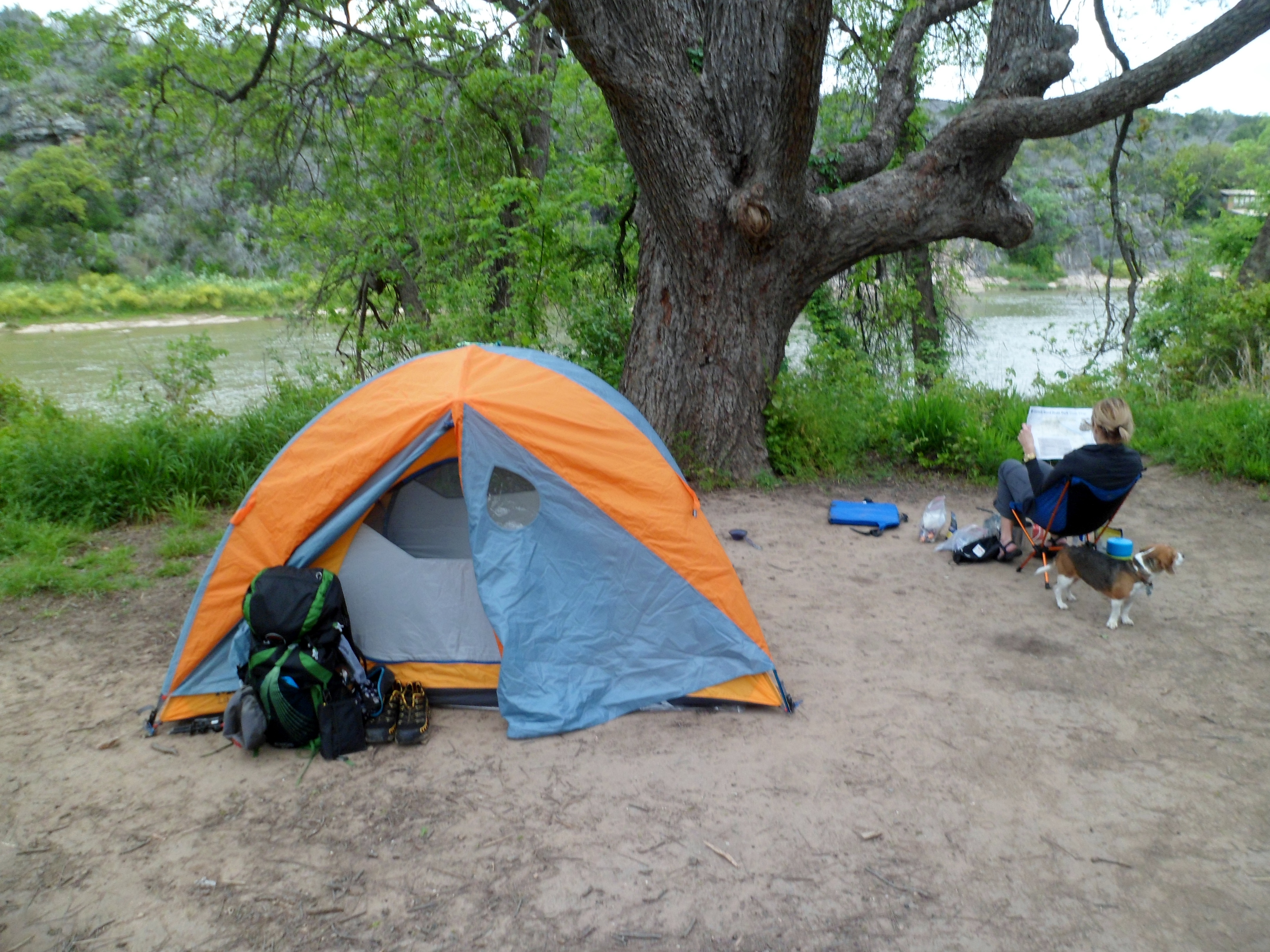
There weren’t many hikers on the trails the first day, but at the swimming hole at the end of the trail there were quite a few more people, as this is much closer to the general campgrounds and day use areas. Once we reached the spot where the creek empties into the Colorado River, we road walked through the car camping area (which had some great views of the cliffs across the river), where we filled up with water so we didn’t have to filter for dinner, and then another mile and a half to the backpacking primitive sites. This is the strange thing about this park. The backpacking walk in sites are only a mile away from the car camping sites, so backpacking really isn’t even necessary. Next time we may just car camp and day hike.


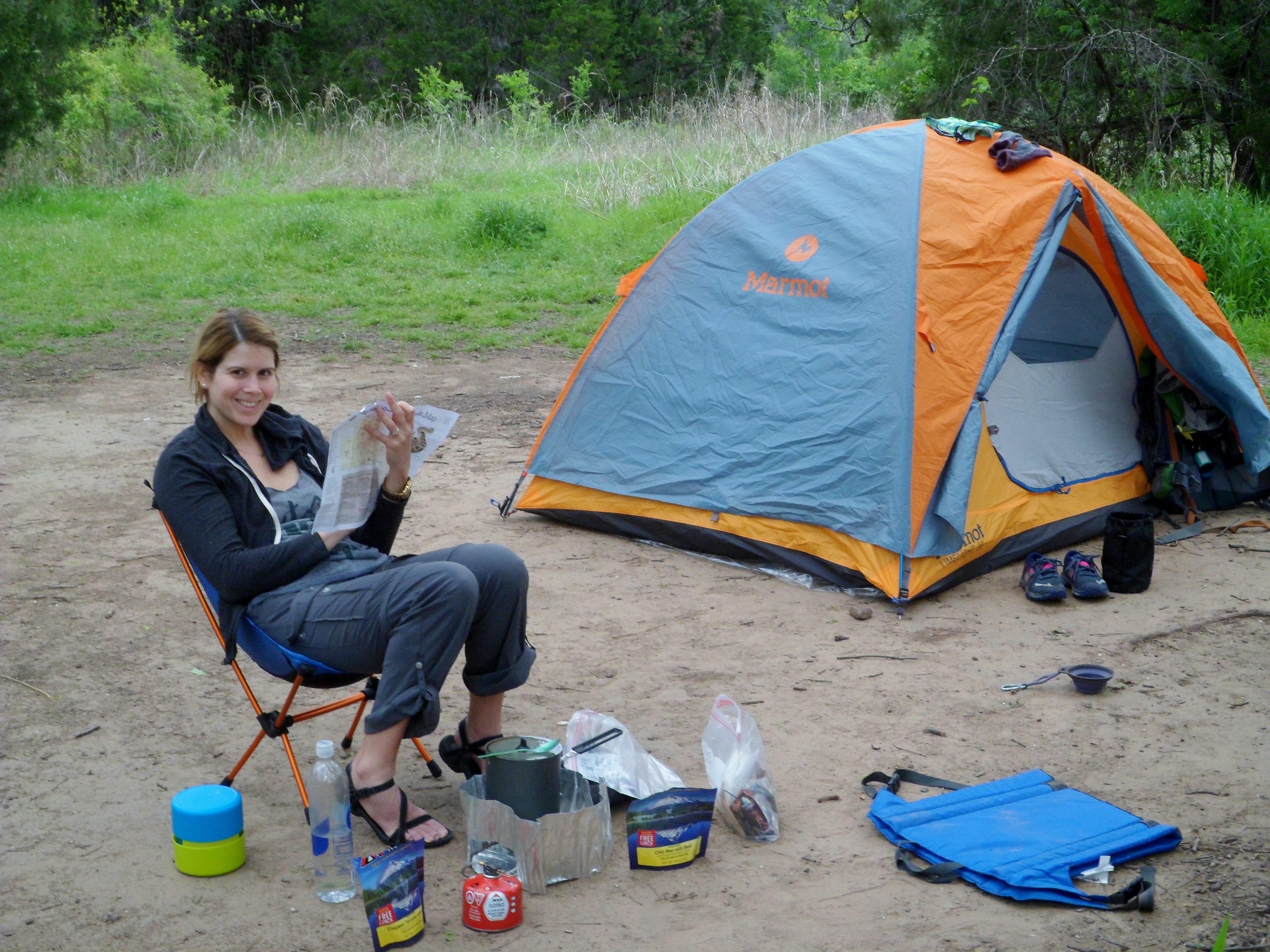
We reached the backpacking sites around 6pm and unfortunately most of the best sites were taken. We settled for the first site in, which was at least under a large tree and near the river, but the dirt was so hard packed we couldn’t even stake the tent down. Luckily it wasn’t necessary, as the winds were calm all night. We set up camp and then made dinner: our first experience with Mountain House freeze dried meals and I have to say, I was kinda impressed. I had Chili Mac and Beef and Court had Teriyaki Chicken and Rice. It wasn’t phenomenal, but far exceeded my expectations and the lack of dishes to clean was a very welcome side effect.

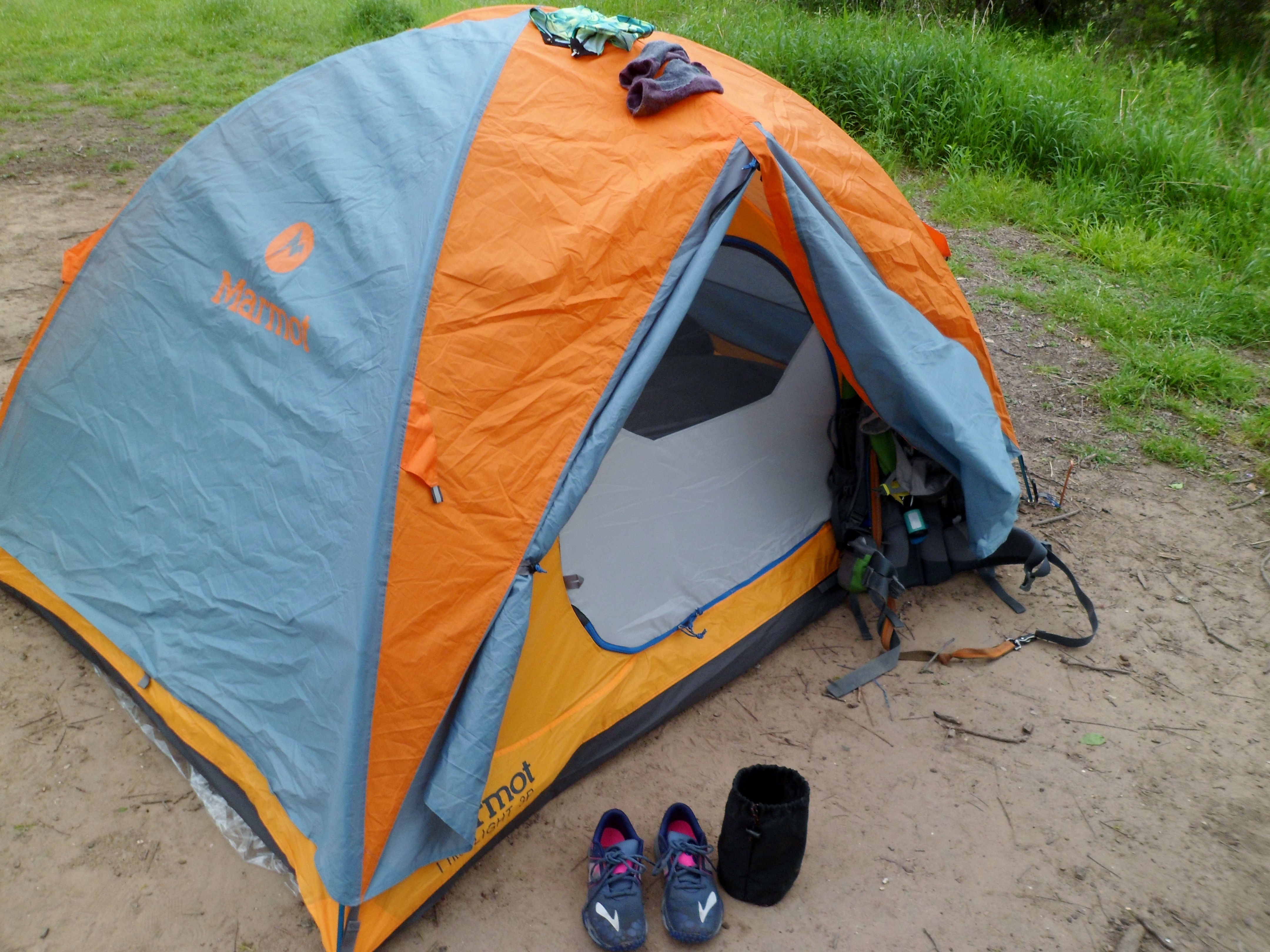
In fact, we had brushed our teeth and were in the tent well before the sun went down. We read until dark and got to sleep early. I had a particularly restless night though. I don’t know if it’s a sleeping pad issue or what, but I woke up pretty much on the hour every hour, having to change position to stop the aching joint of whatever side I was on. The stars did make their way out after some early clouds and I wish we could have left the rain fly off, but there was still a slight chance of rain, so I didn’t want to test it.


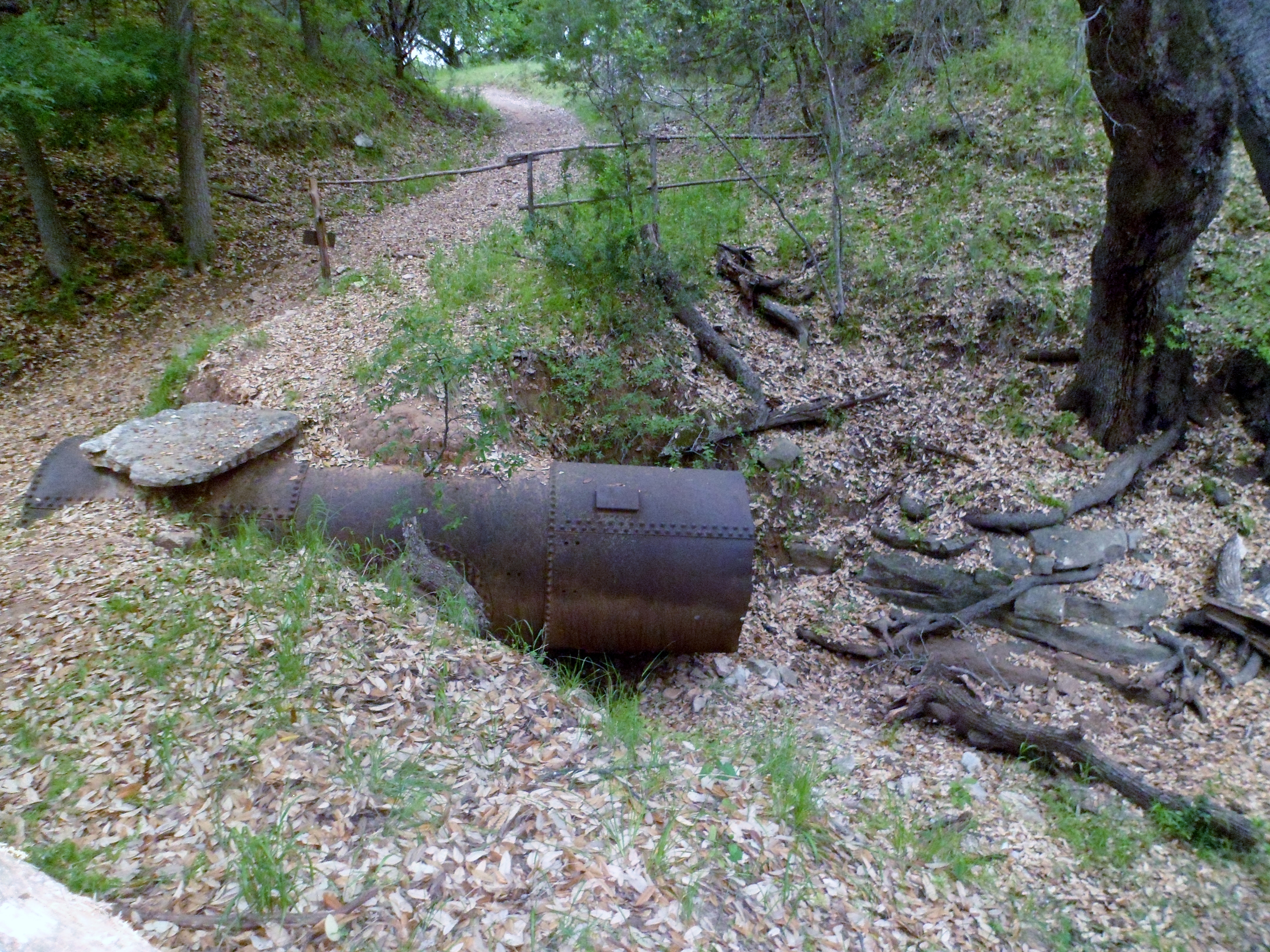
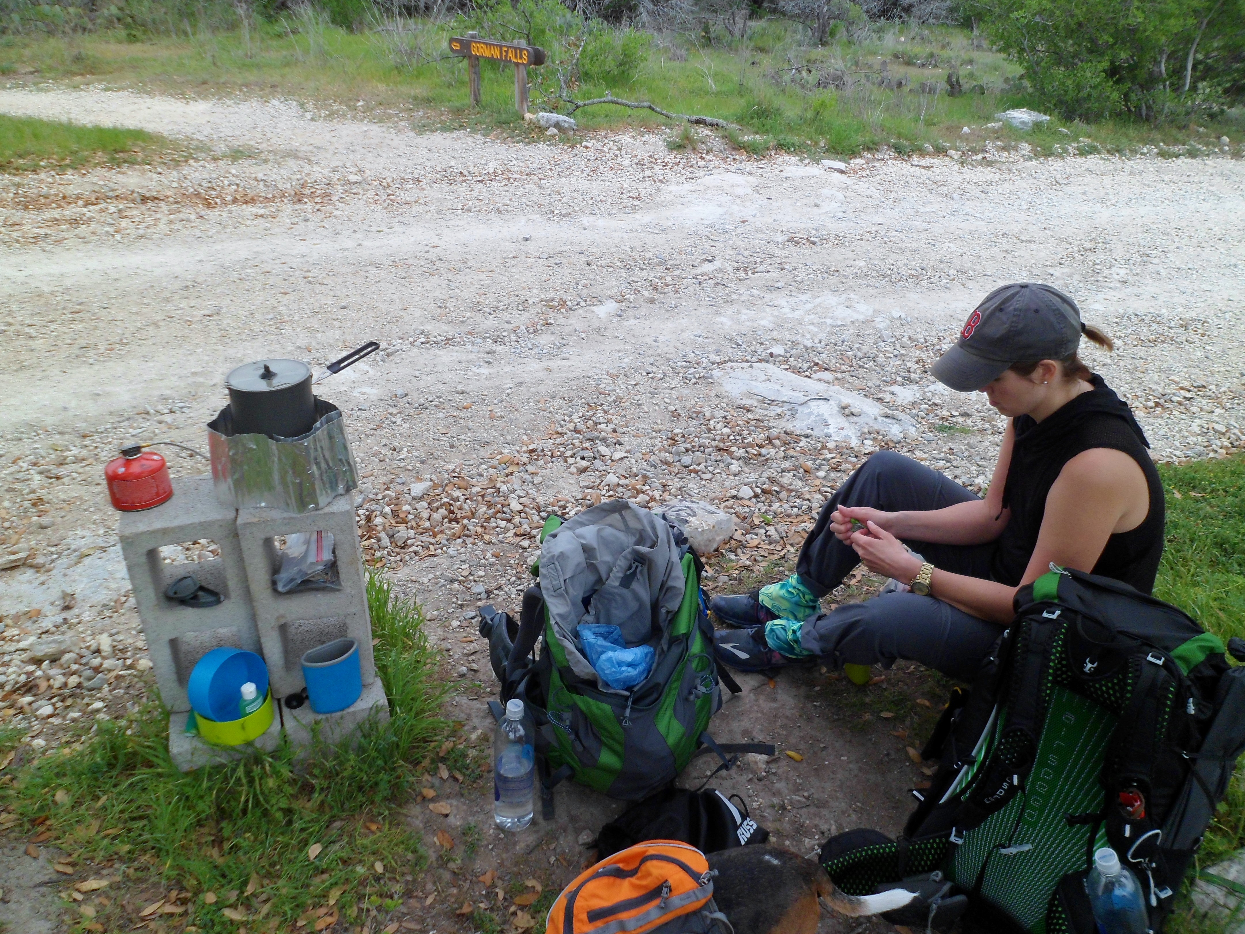
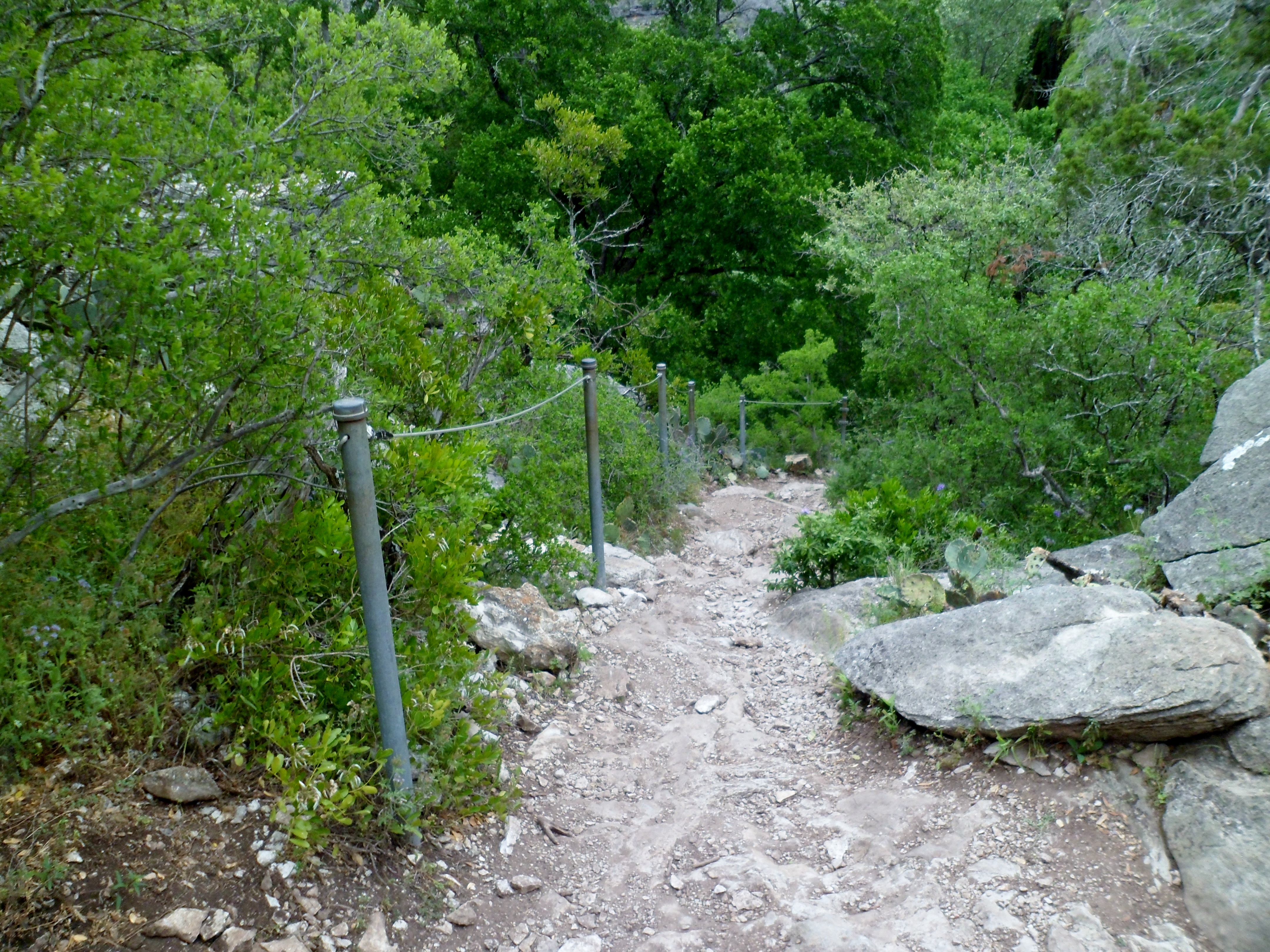
We woke up with the sun and the initial plan was to hike back to the car, eat breakfast, and then drive to the Gorman Falls trail head and make the hike without full packs, but we decided just to skip breakfast and hike on with full packs to the Falls. We took the River Trail for a mile or so, which had some nice scenery of its own, scaling along the side of a small cliff for a section. There was actually a cable bolted into the rock to assist the exposed cliff, but it wasn’t too hard. There was also an OLD sign from before the park was officially a park I guess. Pretty cool.


There was a ridiculous hill at the end just before getting to the Gorman Falls trail that really took it out of us. We needed some energy so we stopped and set up the stove for some coffee and trail snacks. I learned the hard way to not hold the coffee cup while Court pours boiling water into it. Luckily it wasn’t a full boil so my hand was ok. Again, Jiva Cubes are awesome for coffee.

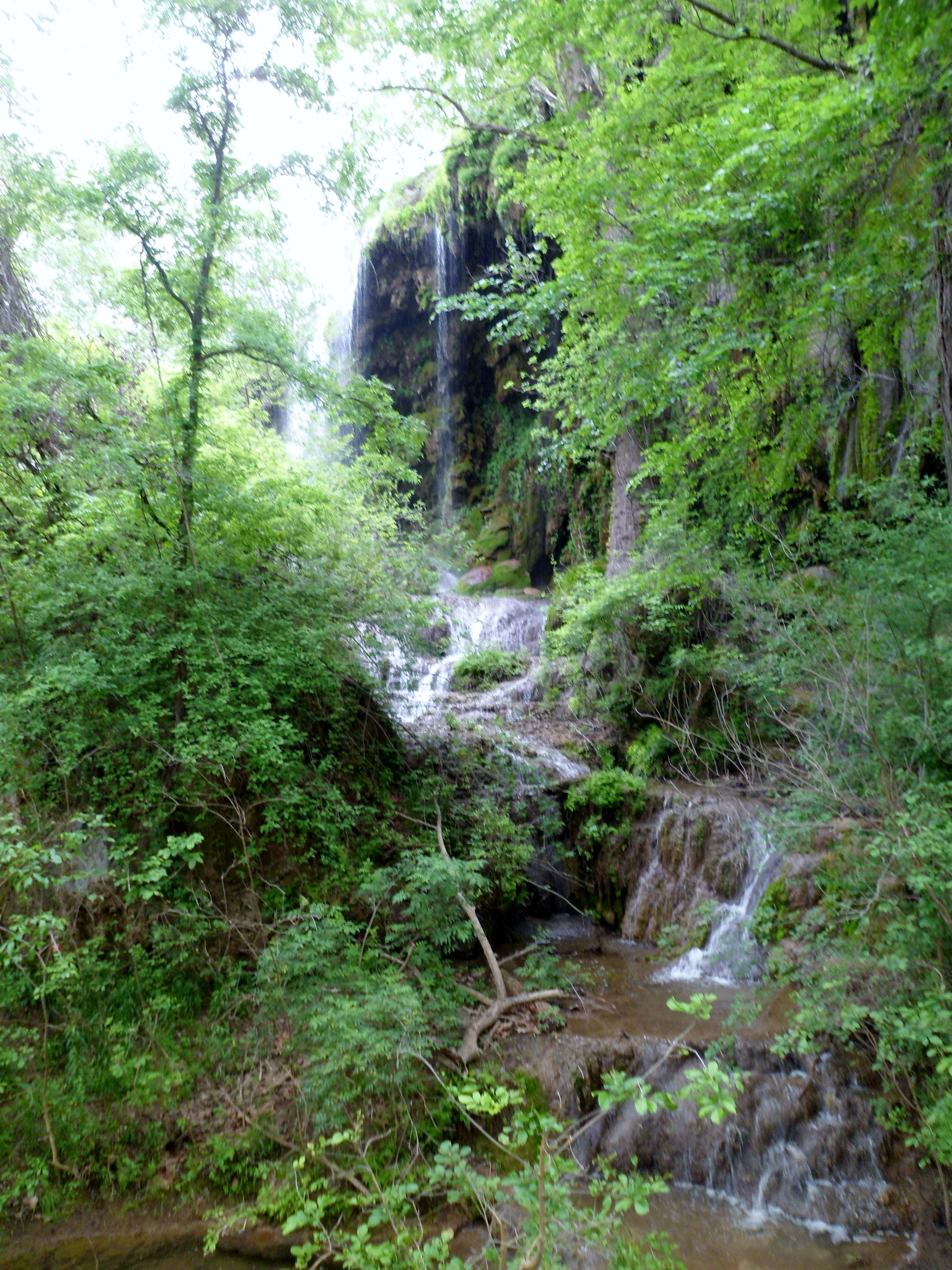
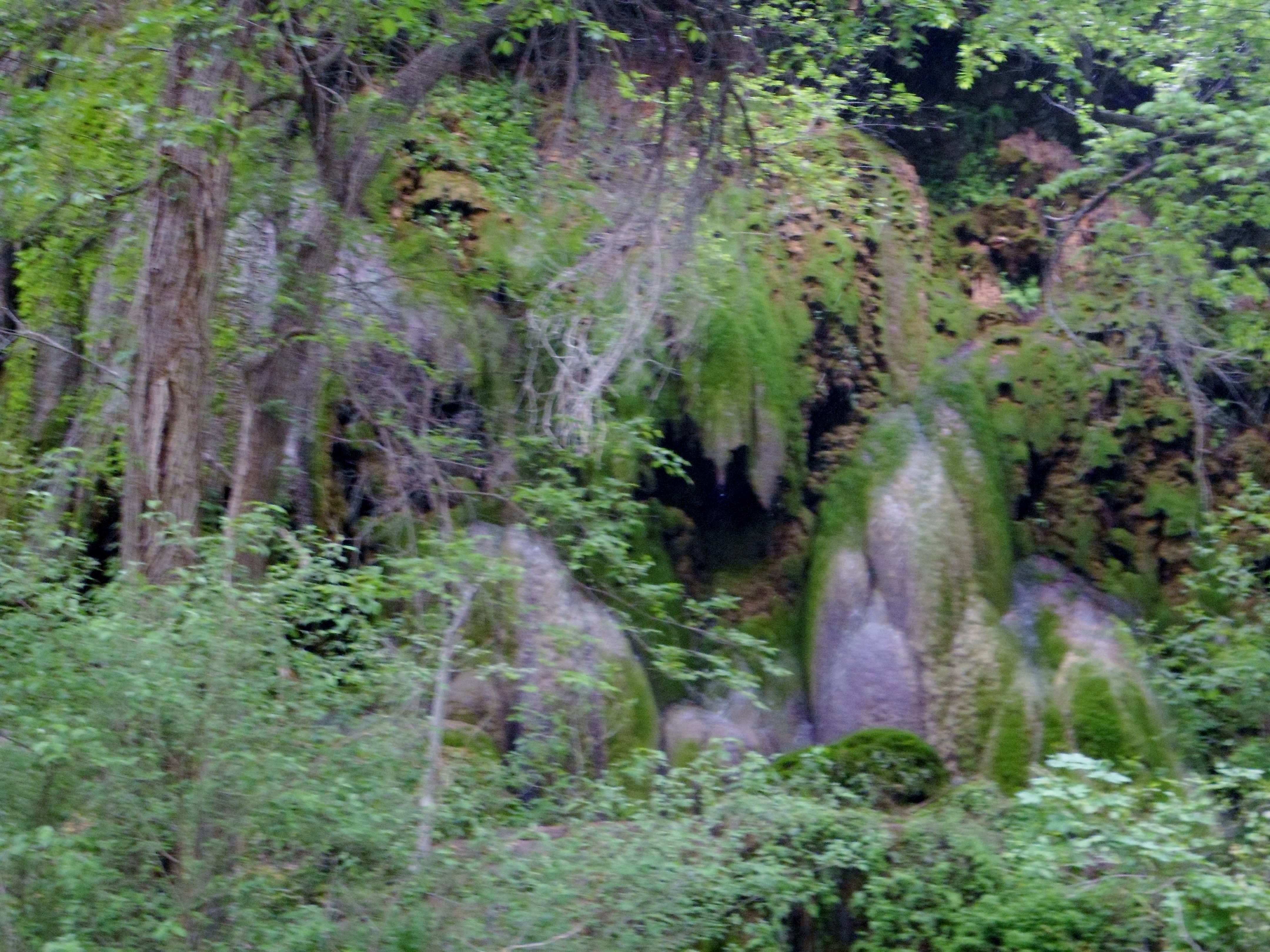
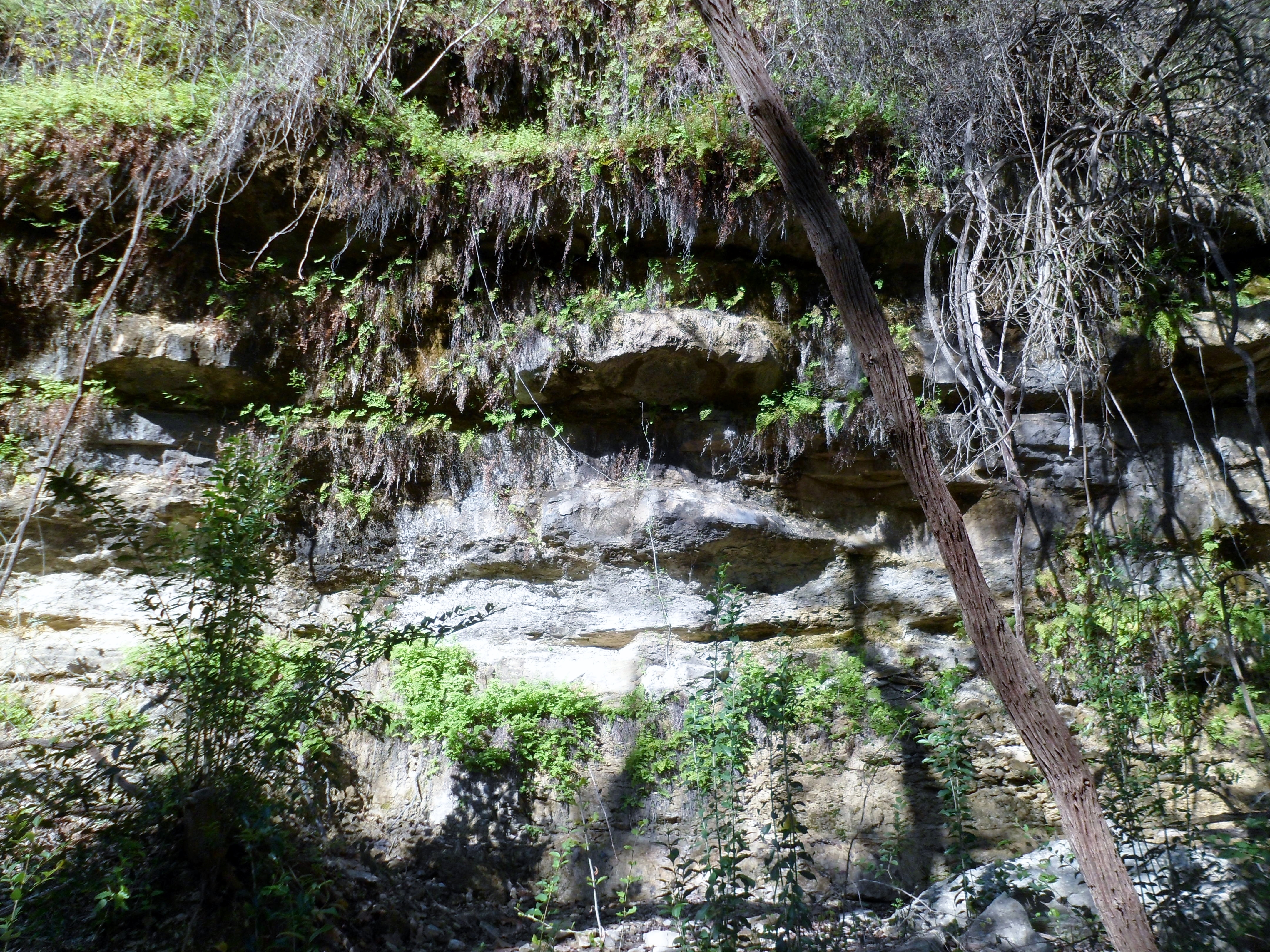
We got to Gorman Falls half a mile later down the very steep and slick rocks (the ranger wasn’t lying) and it was well worth it. 70 feet tall and absolutely gorgeous. There were several different parts of the multi-tiered falls and it looked like something straight out of a tropical rain forest.


After the falls we headed back up the steep trail, carrying Biff for most of it, and decided we had neither the stamina nor the time to take the newer and most challenging Tinaja Trail back to the car. I was a bit bummed about that, as Tinaja was one of the things I really wanted to do on this trip, but it wasn’t to be. We will have to come back another time and finish that off.
We got back to the car after another couple of miles and were all wiped, but happy. Biff went straight to sleep and we made the drive back home. A great trip overall. No map this time, as the app couldn’t find the satellite for a while and didn’t keep an accurate log. Our feet and equipment held up great. I think we are getting better at this backpacking thing.
Edit: Hey, I found the maps
River Place Nature Trail 3/20/16
Sunday, March 20, 2016
River Place Again
Mid 60s, sunny, and beautiful
Just under 7 miles
Well, I did say this was the best trail in Austin, so I’ve been out here a lot lately. I especially wanted to come out because we got some good rain the past week, so the waterfalls should all have been up, and they were beautiful.
I don’t take Biff here because there are SO many steps, so I’d just carry him most of the way. It’s a tiring trail, especially hiking it solo when I tend to pick up the pace a bit anyway. I specifically tried to pace myself today and stop to smell the roses and enjoy the beauty. It was very pretty as always and also crowded.
My gaiters were the talk of the trail for some reason today. I must have gotten at least 7 different comments and compliments on them. Dirty Girls for the win! Anyway, I’ve blogged this multiple times, so I’ll let the pictures do the rest.


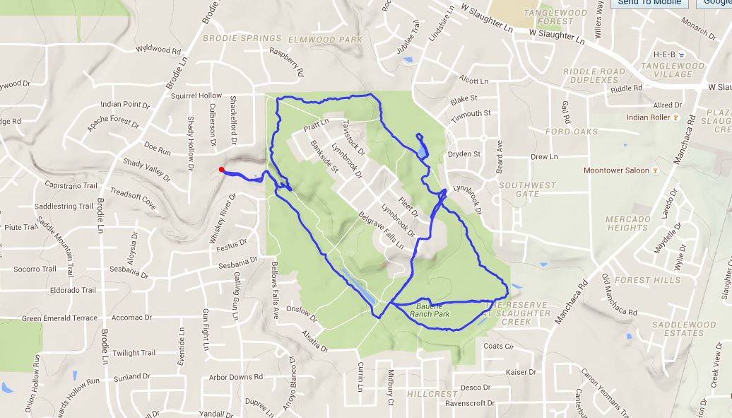
Bauerle Ranch Park 3/19/16
Saturday, March 19, 2016
Hike: Bauerle Ranch Park, Austin, TX
Weather: mid 60s, sunny, clear
Hikers: Ian and Biff
Length: 5.77 miles
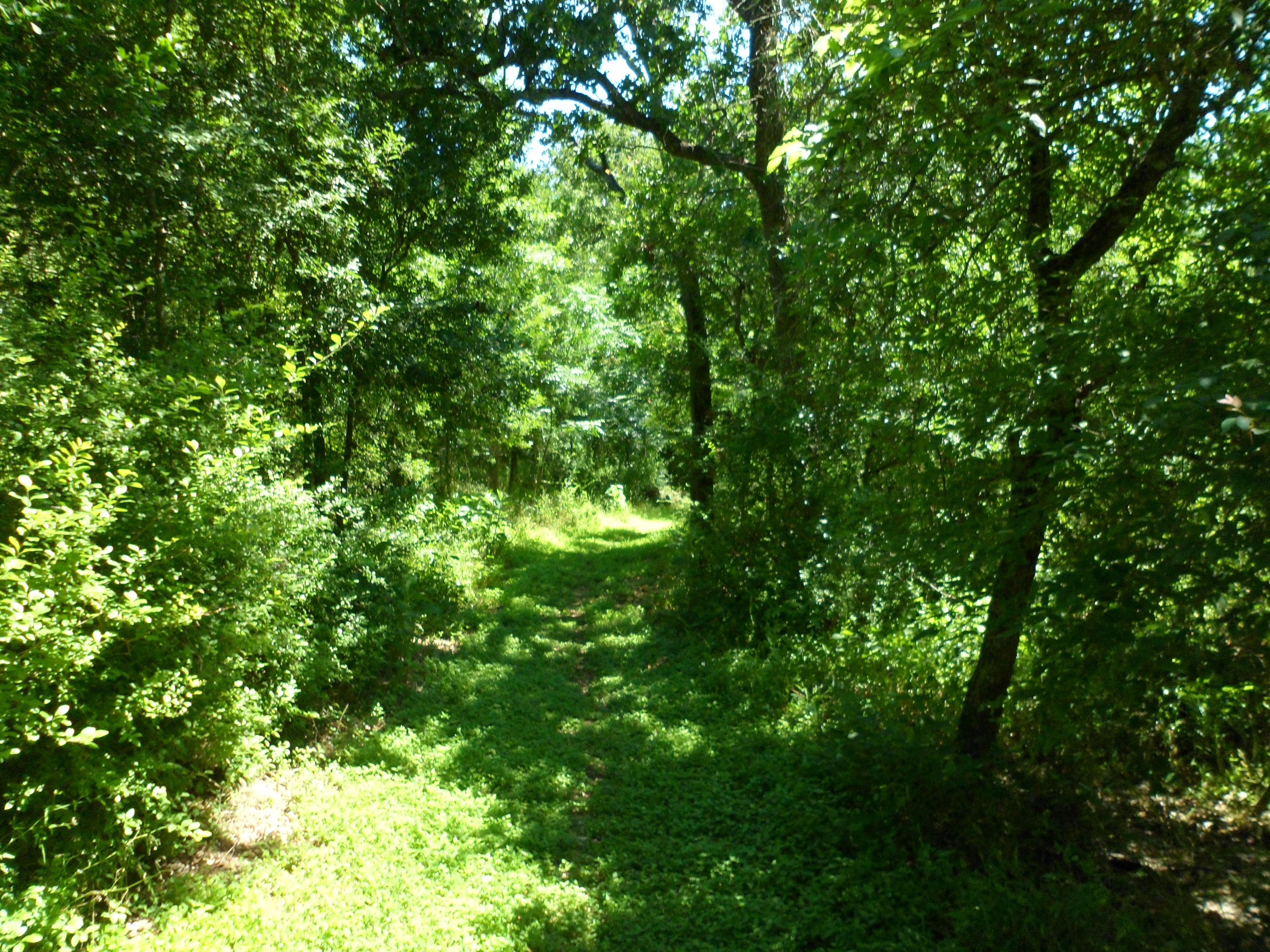
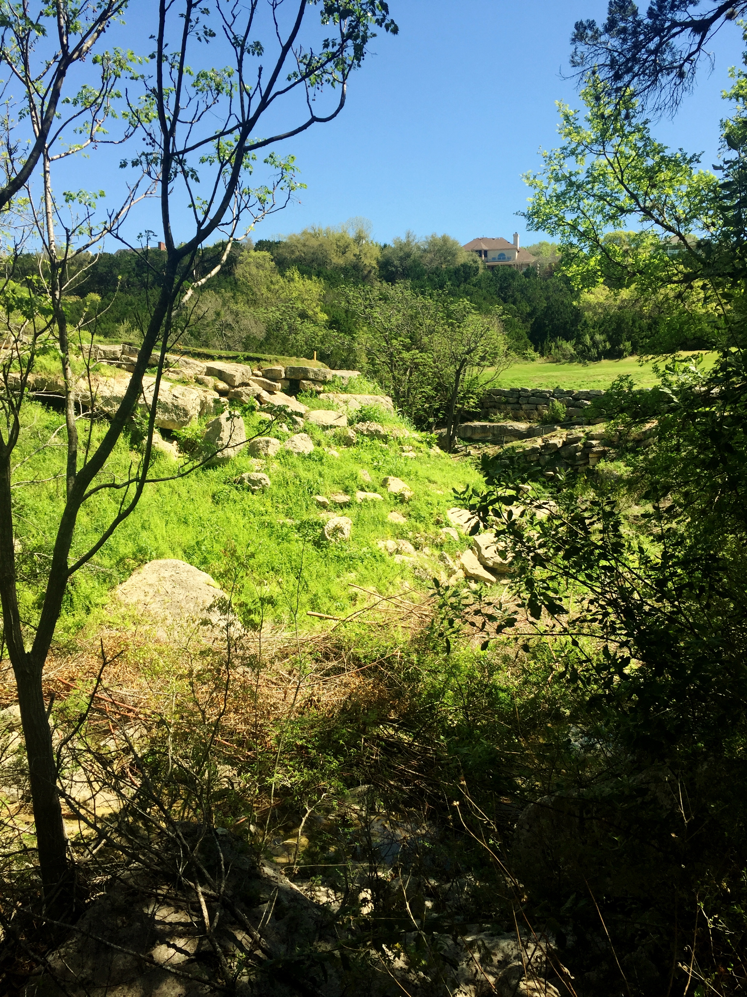
I found a new hike I wanted to try down in South Austin. I’ve taken to just cruising around google maps and finding spots of green in Austin that I haven’t hiked yet and this one caught my eye. The park completely surrounds a neighborhood, or rather, the neighborhood was built in the middle of the park, which I’m assuming used to be a private ranch back in the day.
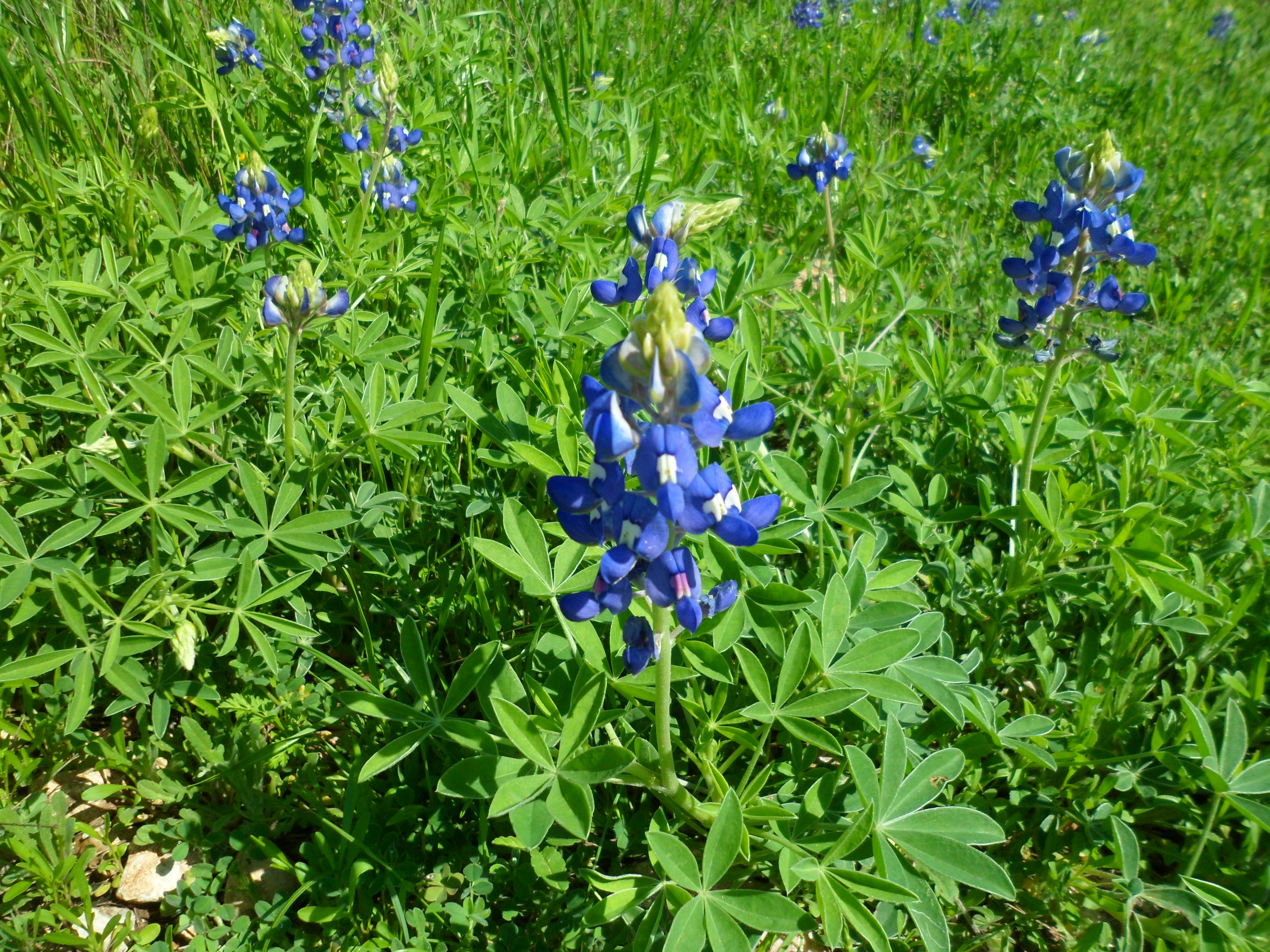
Court went up to visit her old classmates in Dallas for the weekend, so Biff and I came out to the trail around 10am and went exploring. We started off on the Slaughter Creek Trail which was actually the worst part of the hike. It was basically rocks the whole way. But when I got to the other end of the park the trail turned into more dirt and cut through large swaths of Bluebonnets and cacti. Nothing says spring in Texas like Bluebonnets and the lime green new leaves sprouting from the trees.


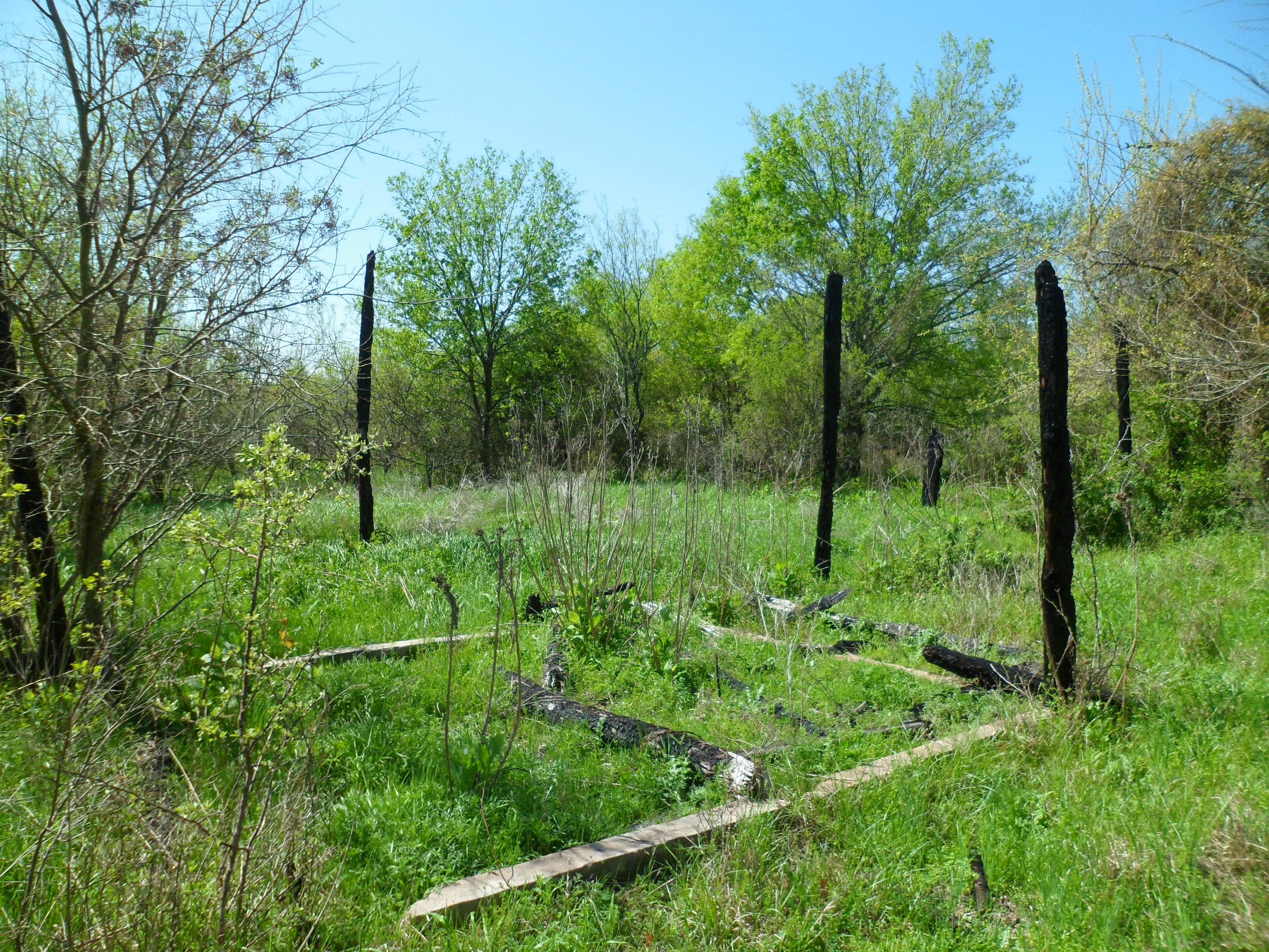
I also came across the burned out remnants of an old structure in the middle of the park. Wondering if it was part of the old ranch.
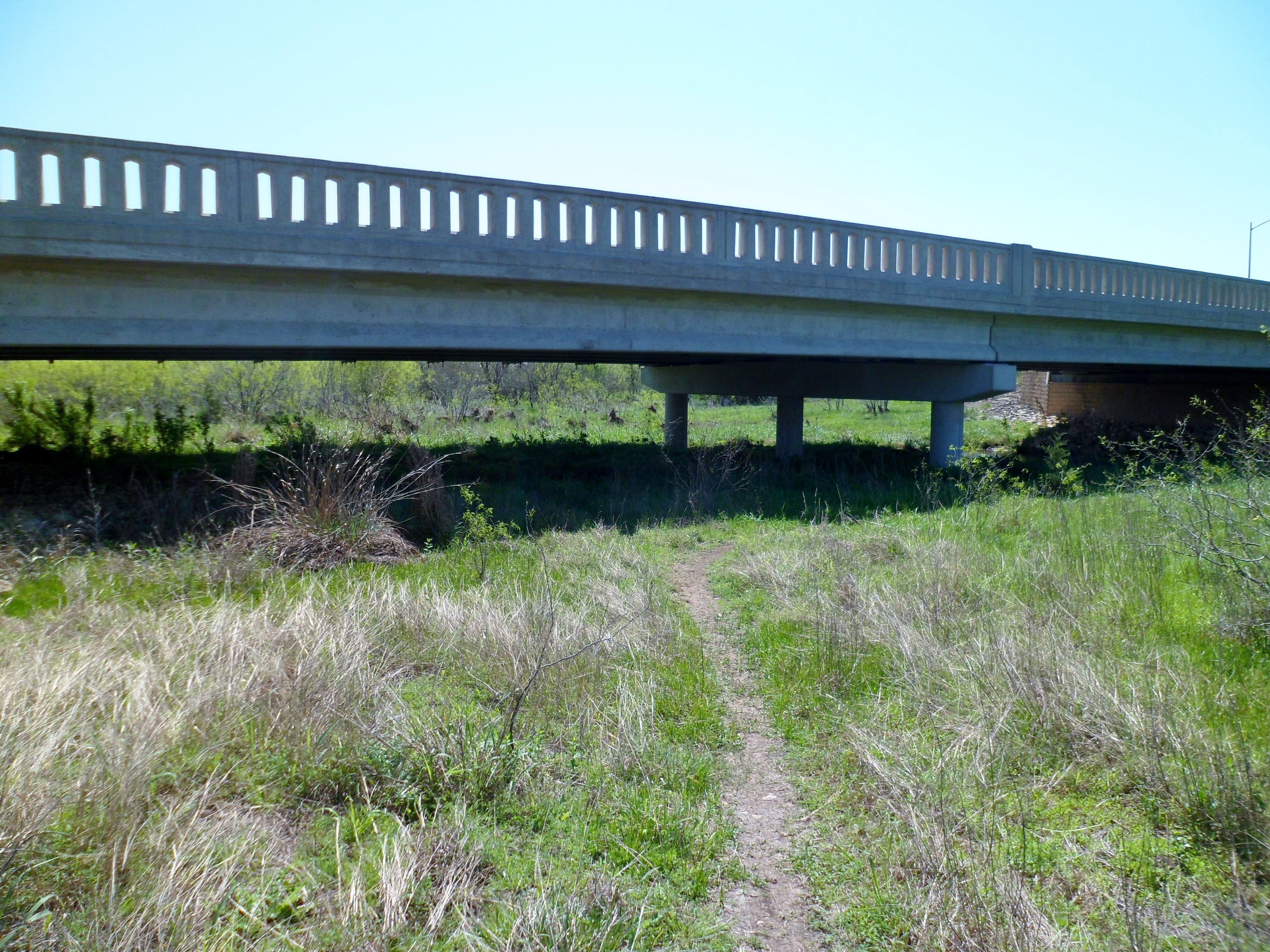
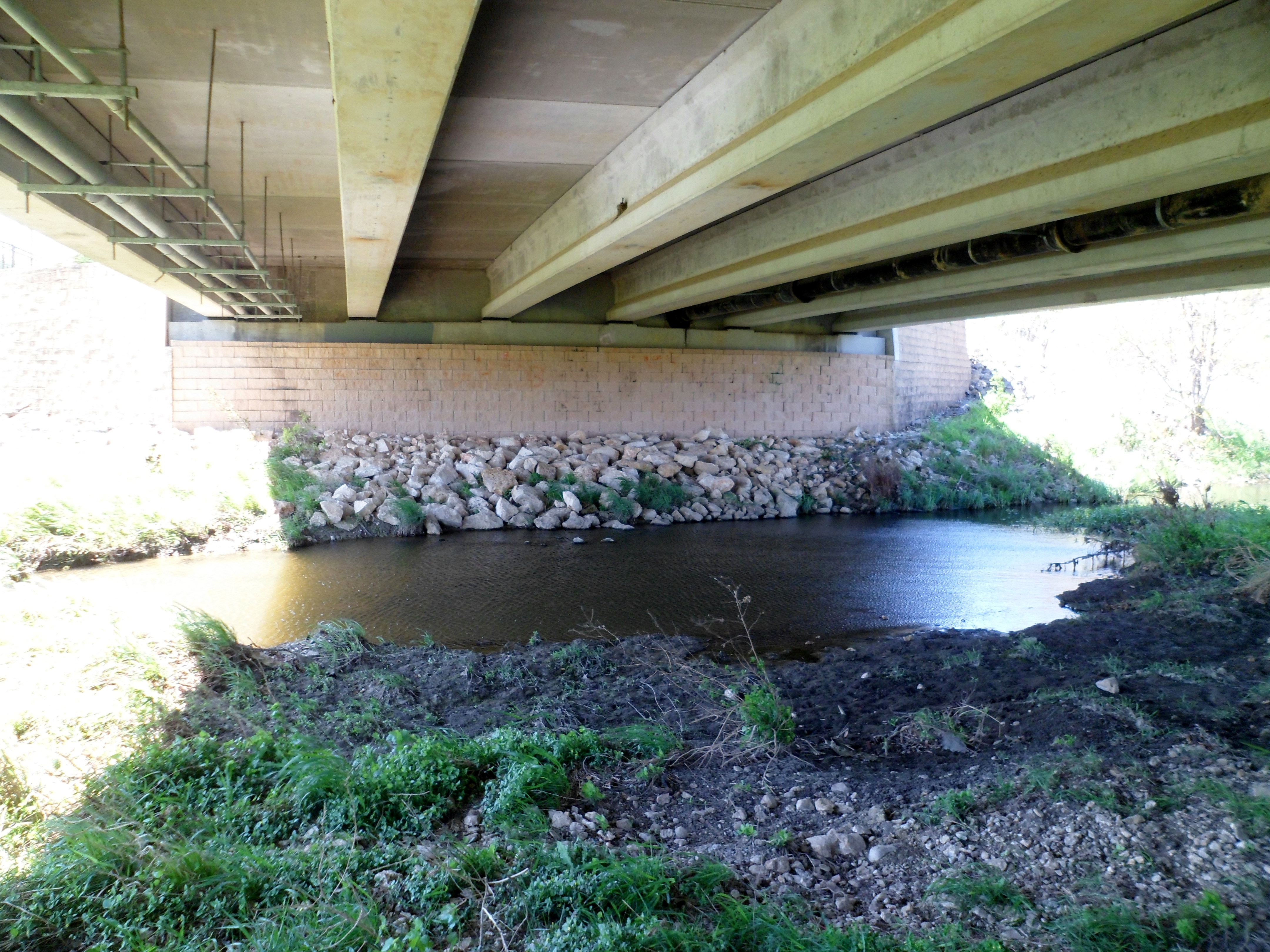
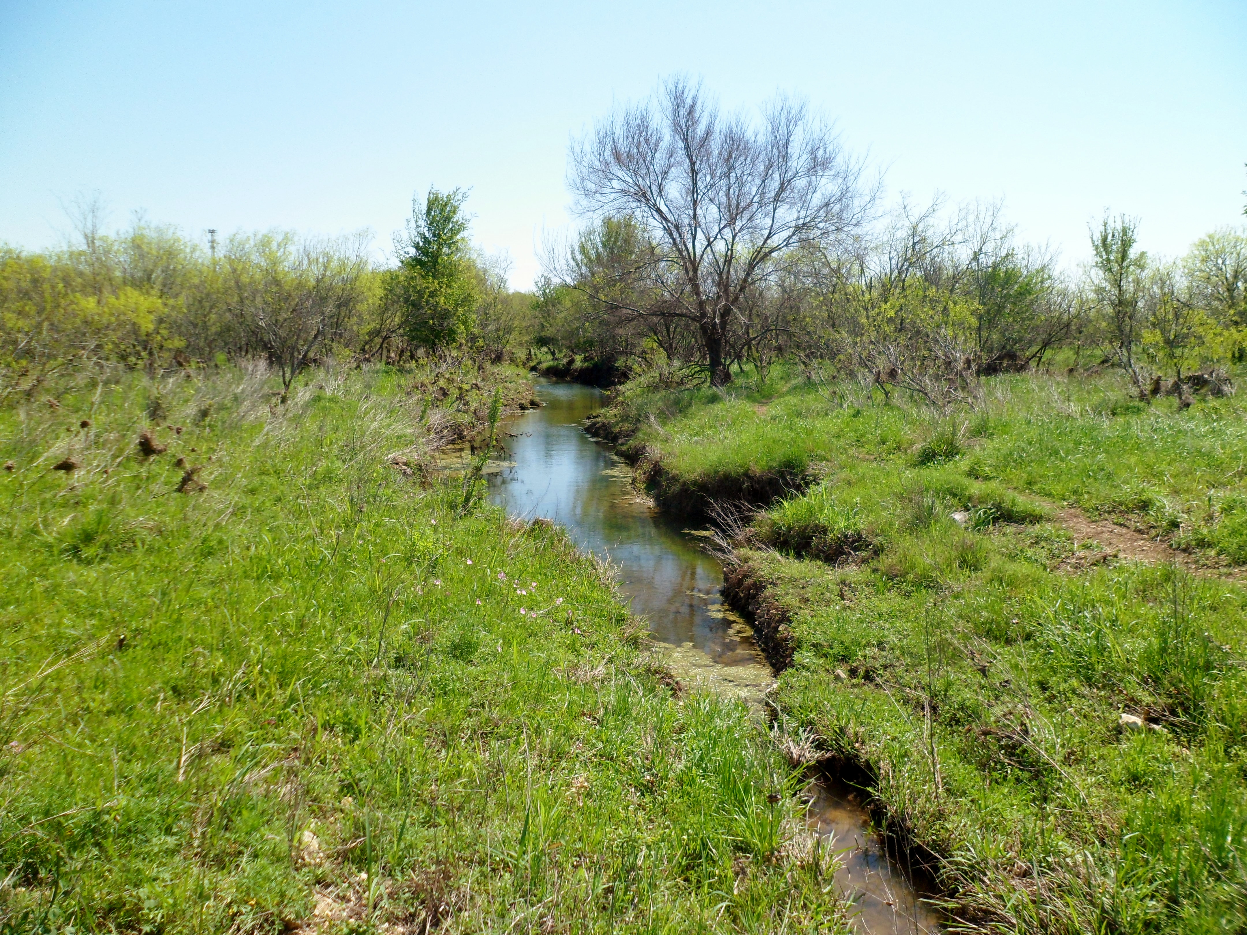
I cut up toward the neighborhood intending to head back to the trail head, but found an unmarked trail, that was very nice actually, which went under a bridge and followed Bauerle Creek and ended up taking me back to where I had started. I re-traced my steps to the neighborhood again and took the trail in the right direction this time, though I didn’t mind the detour.
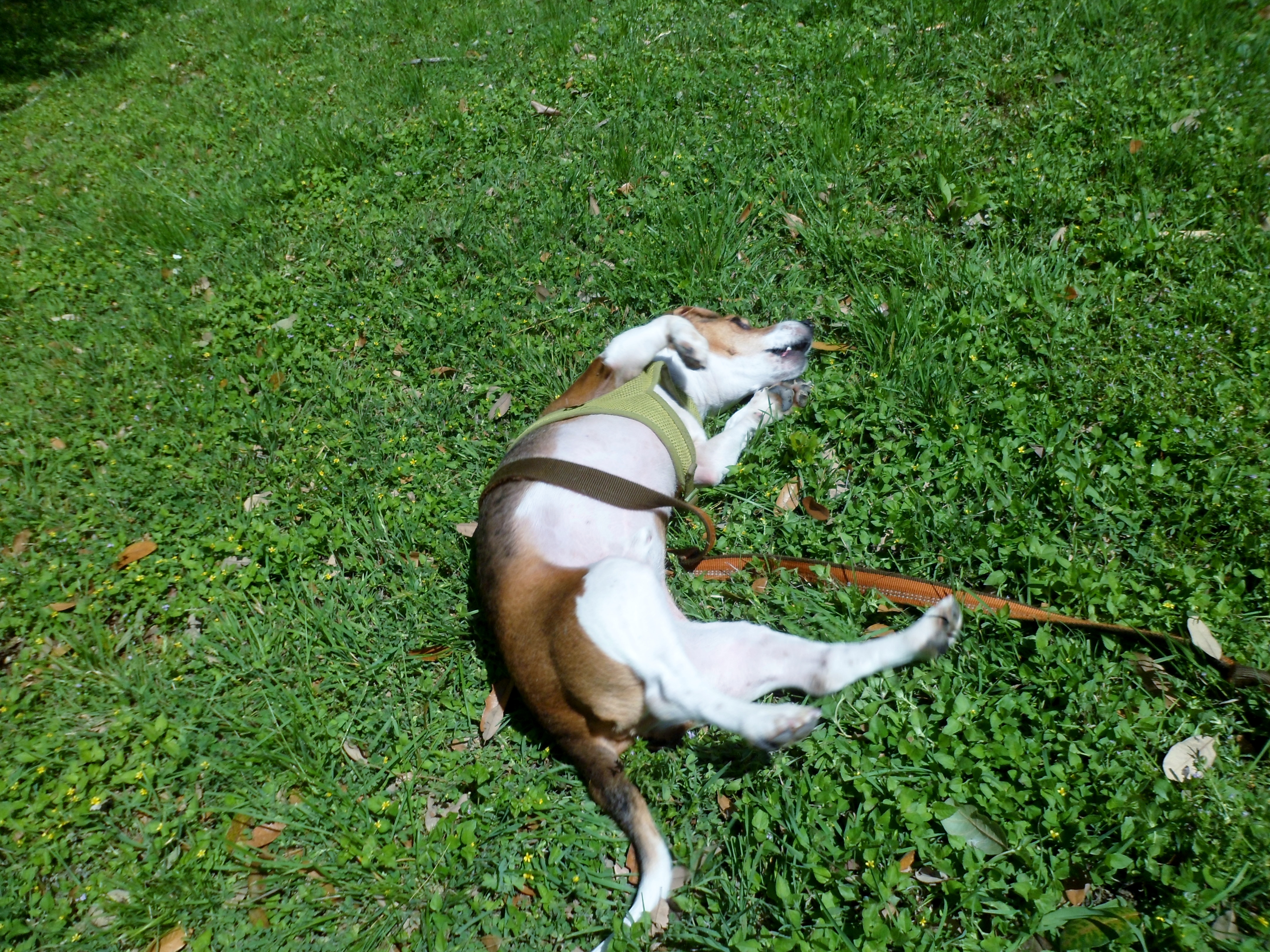
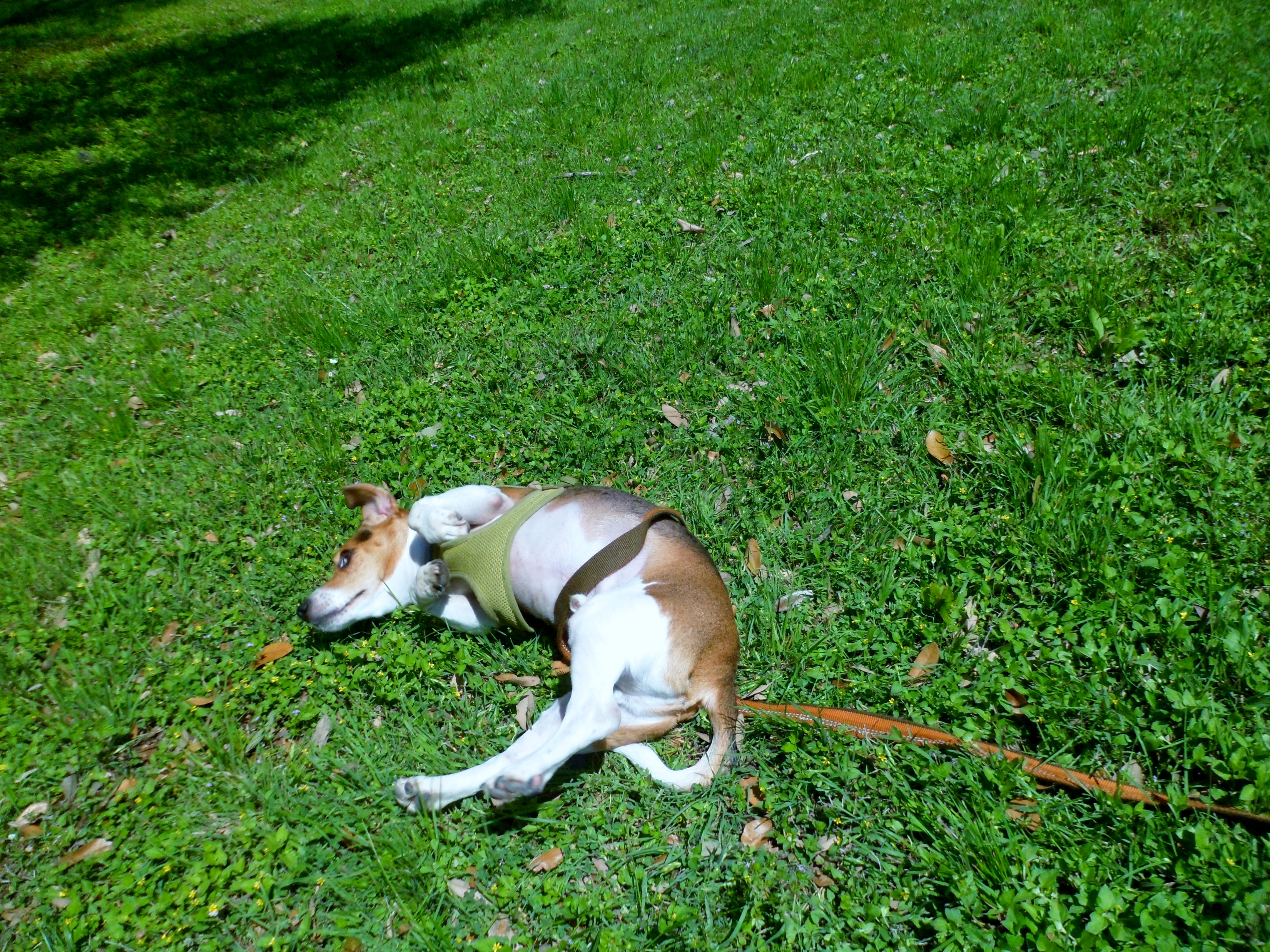
The last part of the trail was the best. It went by a nice pond and then wound around through the woods back to the trail head. We got back to the car and Biff decided it was time for a derpy roll in the grass.


This was a good trail that I will definitely repeat when Court is home.

Onion Creek Greenbelt 3/5/16
Saturday, March 5, 2016
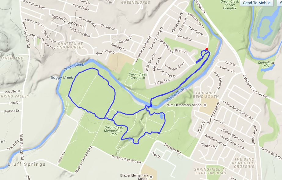
Onion Creek Greenbelt, Austin, TX
About 5 miles
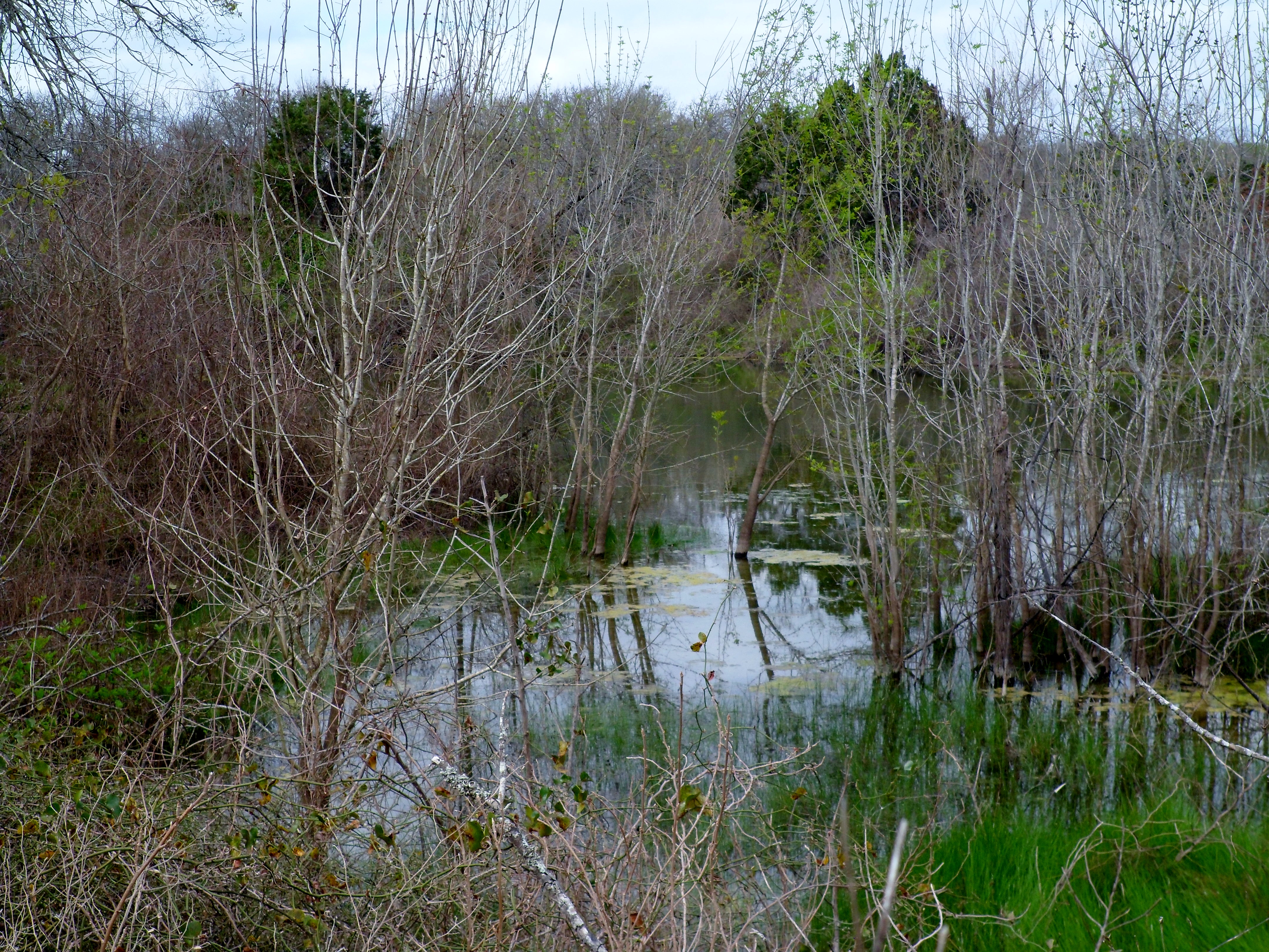
This was a new hike for us in the Austin area. We’ve hit most trails in and around Travis County at least once, but there are a few down south still waiting to be explored. This park was heavily ravaged by the October floods in 2015 and is still recovering. There is one section of the park where parts of plastic trash bags cling to the trees everywhere and look like huge black crows dotting the canopy. It is somewhat depressing, but there was a volunteer group out this morning picking up trash.

We got to the trail head around 9am with Biff in tow. The trail is pretty flat, but has a lot of different branches so you can loop around in different trail configurations for a variety of options. We got to the Onion Creek crossing and opted to wade directly through the water, as opposed to the makeshift bridge made out of a couple of planks of wood. I wanted to get my shoes completely submerged to test the breathe-ability and see how fast they dry, which was a success. The water was only about 5 inches deep or so, but is running nicely.

At the other side of the creek, the trail climbed out of the creek drainage and became flatter and was a sparse forest with very green grass. Most of the trees don’t have leaves yet, but they are on the verge.


We wound around a few loops and passed by a small pond that was really more of a marsh at this point. This trail also has a lot of cactus. You get used to cactus in Texas, but groves like this make you remember what an interesting plant it can be.


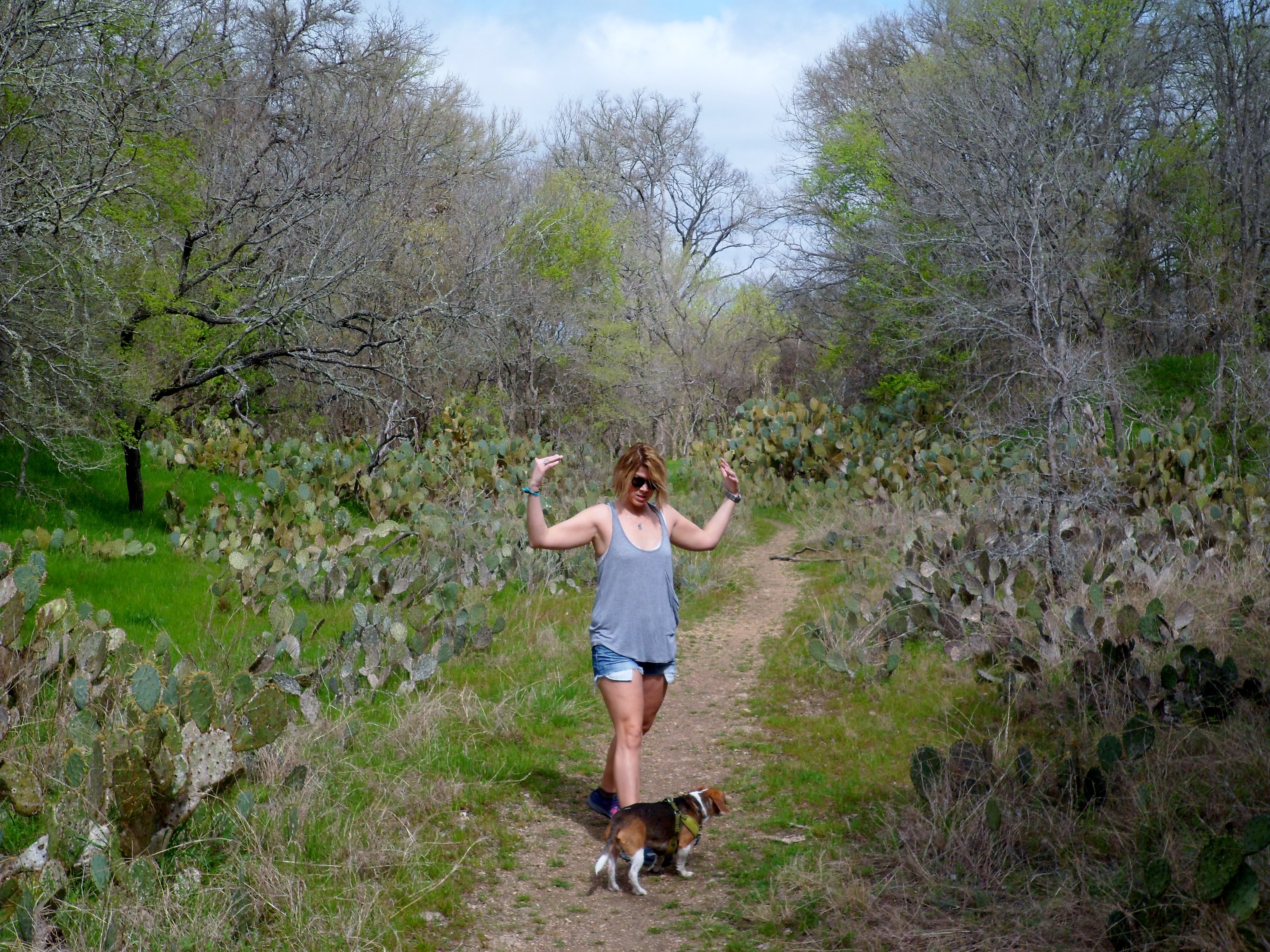
We made our way back down across the creek where Court made an attempt to cross on the 2×4’s that had been used as a footbridge, but quickly abandoned it. We got back to the trail head and headed off to the UT baseball game for the rest of the afternoon. This was a nice trail and good change of pace. I have a couple of more new trails planned for this spring that I found in the area. Looking forward to a good spring of hiking.


River Place Nature Trail 2/21/2016
Sunday, February 21, 2016
Hiking River Place with Greg and Cat
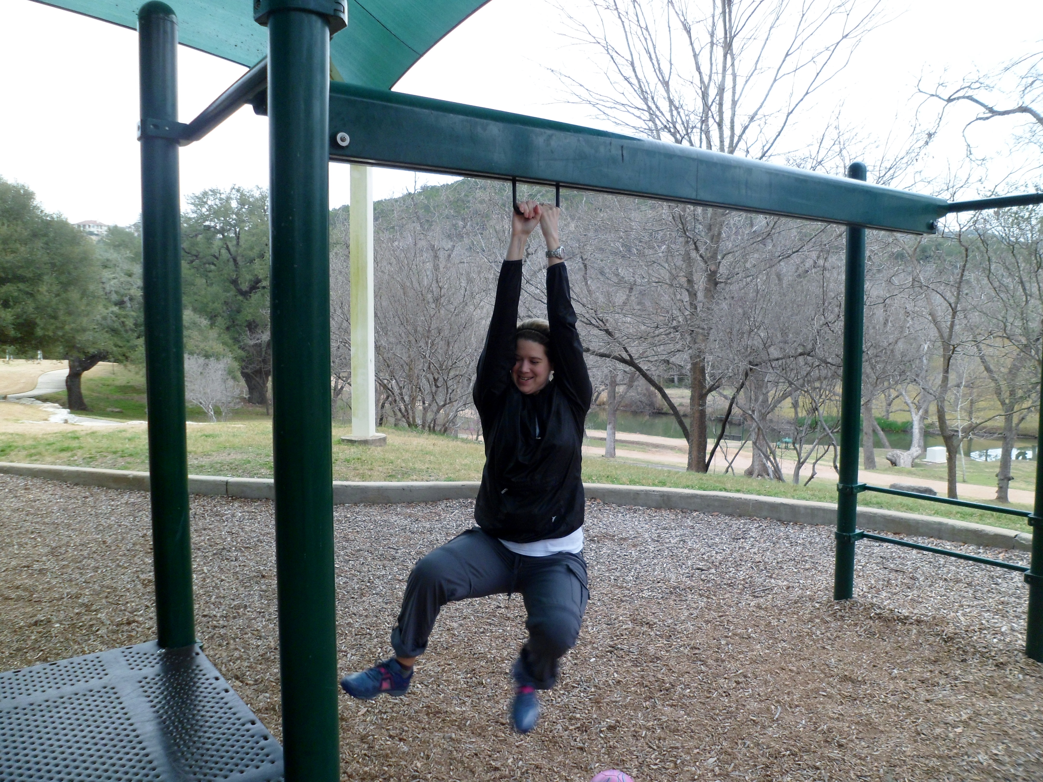
I’m trying a new format for this post because my normal way feels too structured. So I’m just going to write and see what happens. We got Greg and Cat and Sam (dog) out to hike River Place with us on Sunday and the weather turned out to be perfect. Overcast and drizzly, but in the 70s. We parked at the playground across the street and Court got in some fun prior to the hike.
We met up at the trail head a little before 10am and there were already a ton of cars there. I think the secret of this trail may be out, especially with more and more people moving here and going to the Greenbelt every weekend. But for a trail close to town, this is still hands down the best. We saw quite a few trail runners and hikers at first, but it had cleared out by the time we got to the 2nd half.
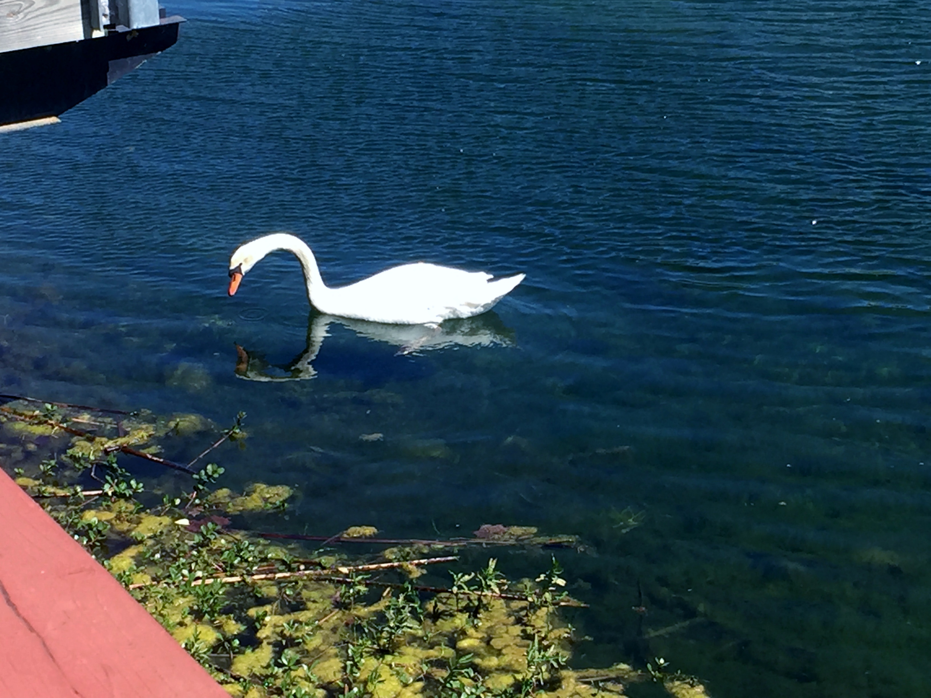
The Security Swan was there to meet us and we took off down the trail. It hasn’t rained in a couple of months so this is the lowest we’ve ever seen the water on this trail, but it was still dripping from the fern wall a little bit.


Sam loves the water, as he is a Chesapeake Bay Retriever. He likes to scout ahead on the trail and then double back to make sure we are still coming, so he probably went about twice as far as we did in the end. We did just under 7 miles, so a nice baker’s dozen for Sam. I’m sure he slept well that night.

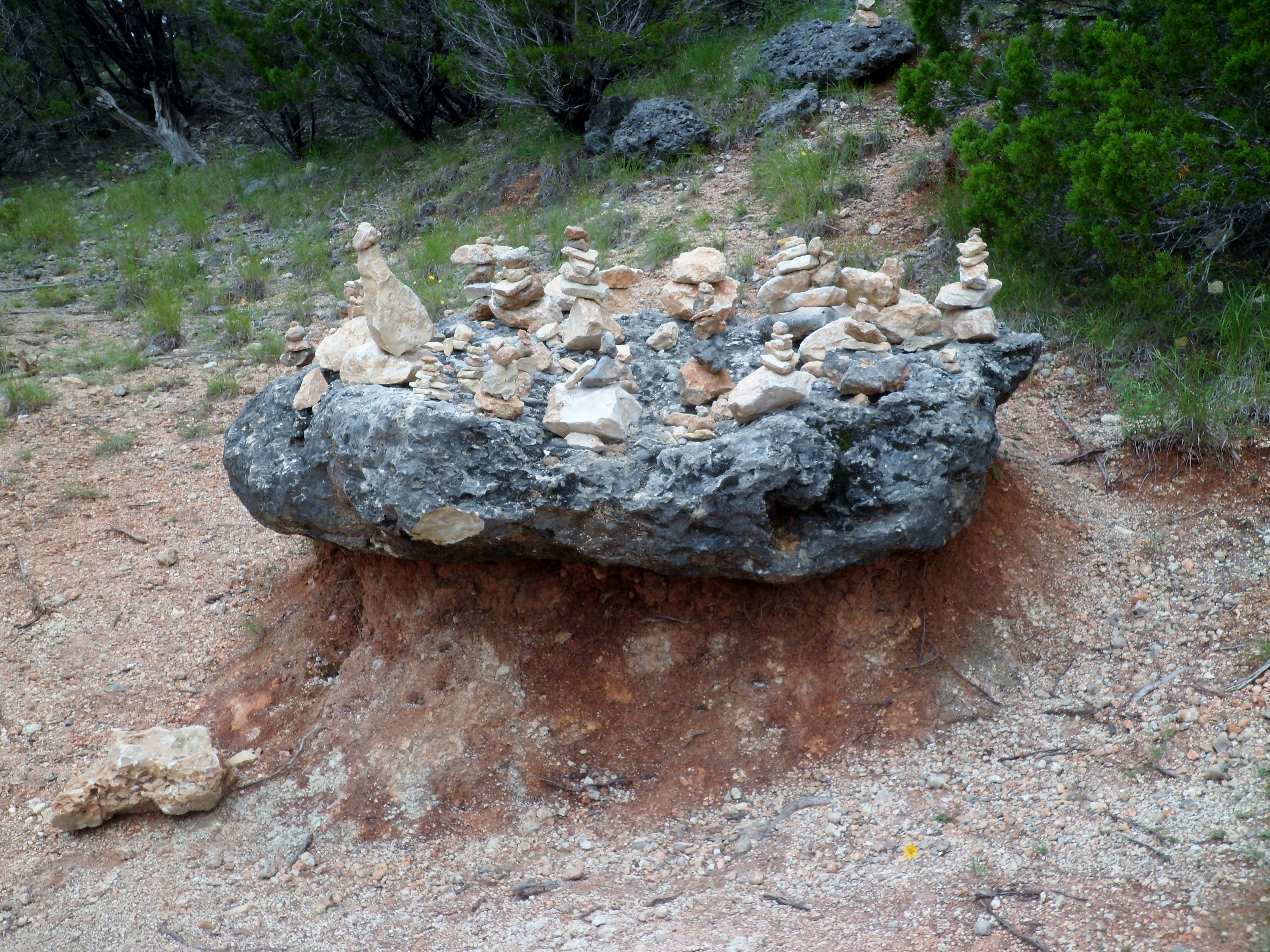
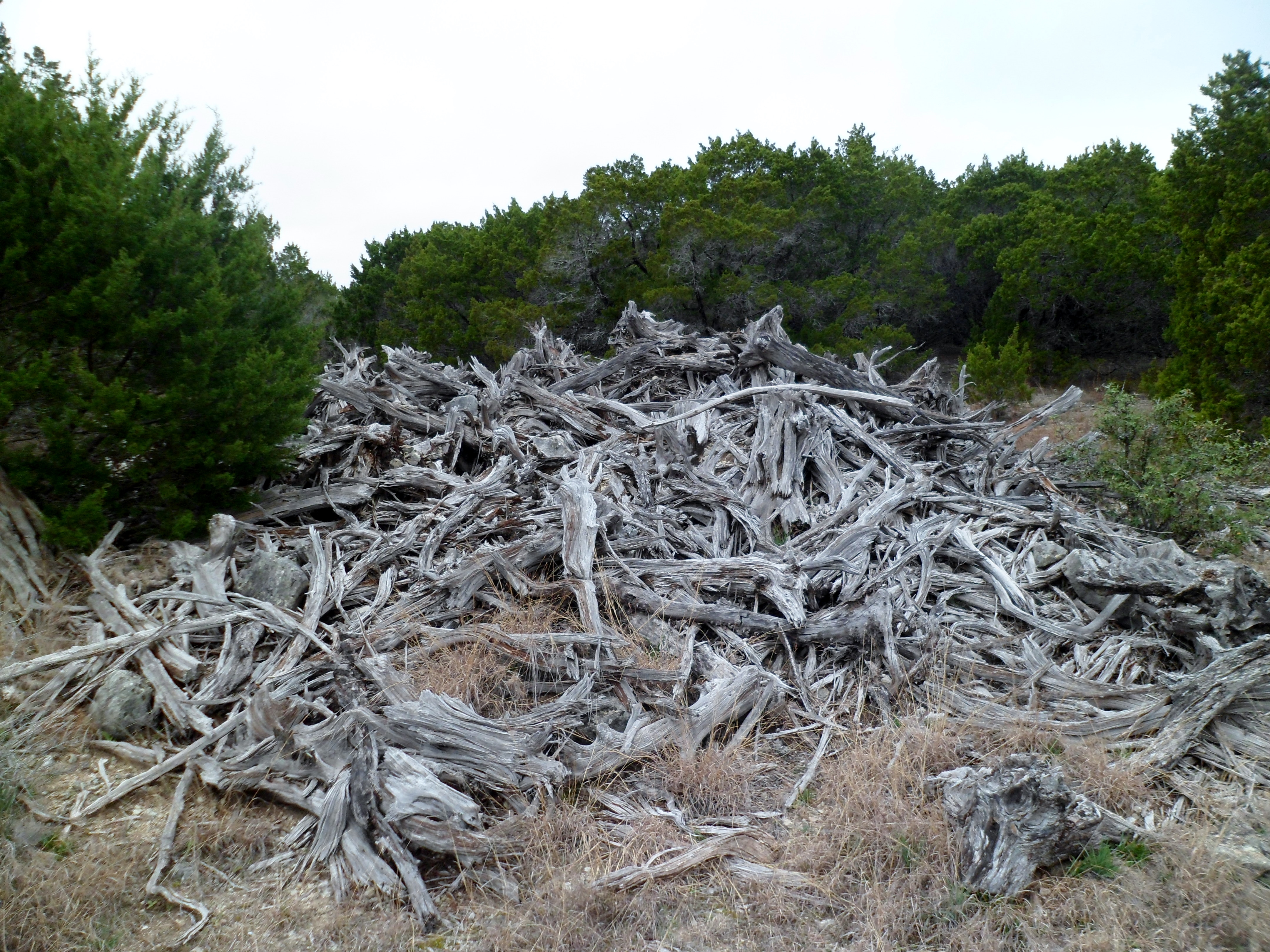
Near the upper trail head we took a short side trail that we had never ventured up where we found this giant woodpile. Could be art?
We took a short break to catch our breath before heading back the way we came. The stairs on this trail are pretty brutal after a while and we were all pretty tired at the end. I had forgotten to pack any trail snacks, so Court and I hit up a pizza place near campus on the way home and I crushed some pepperoni rolls.
Good hike, good times. We’ll be back this spring, hopefully after some nice rain to get the waterfalls flowing really well again.


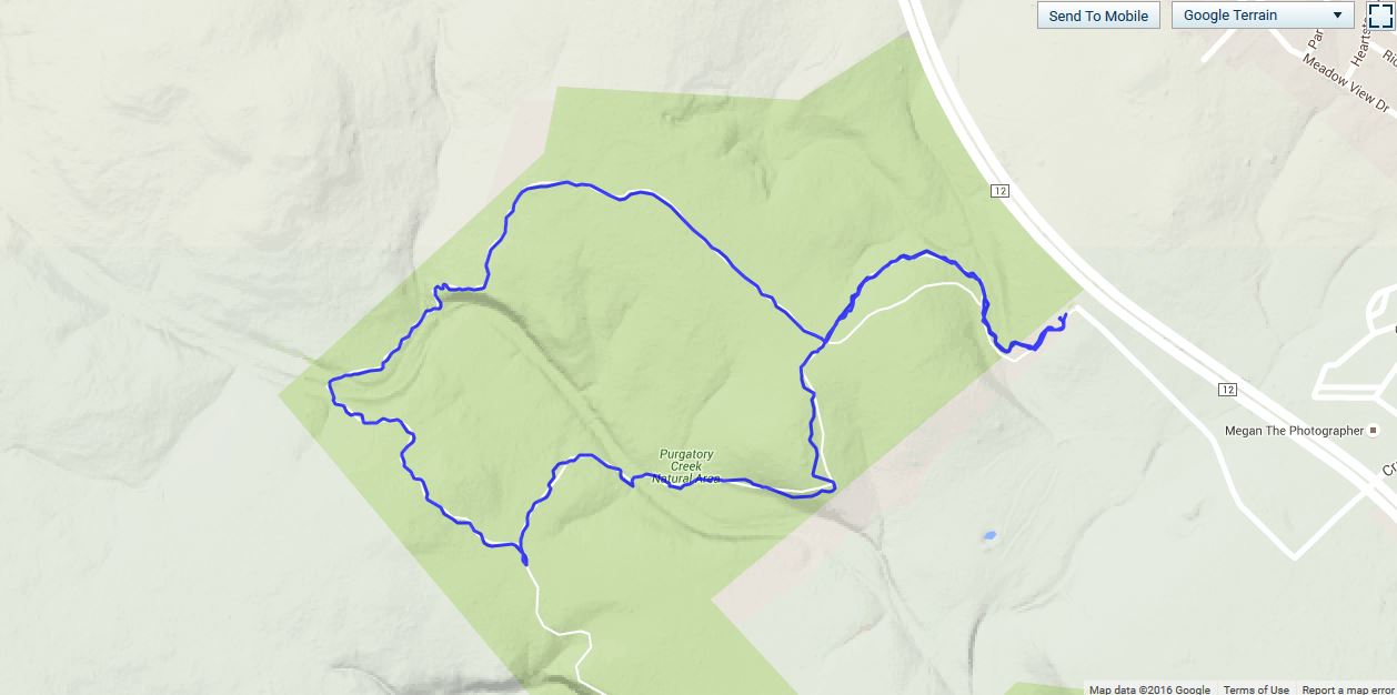
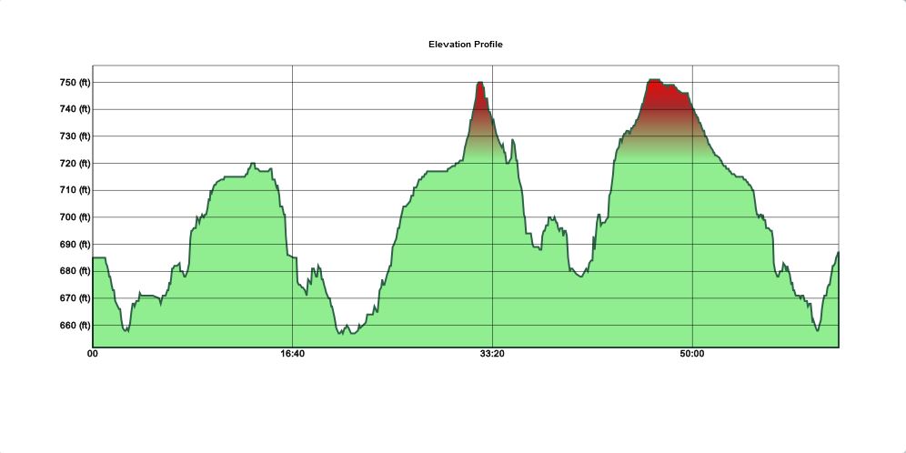
Upper Purgatory Creek Natural Area, San Marcos, TX – 2/6/2016
Saturday, February 6, 2016
Hike: Upper Purgatory Creek Natural Area – San Marcos, TX
Weather: clear, cool, mid-50s
Hikers: Ian
Length: 2.83 miles
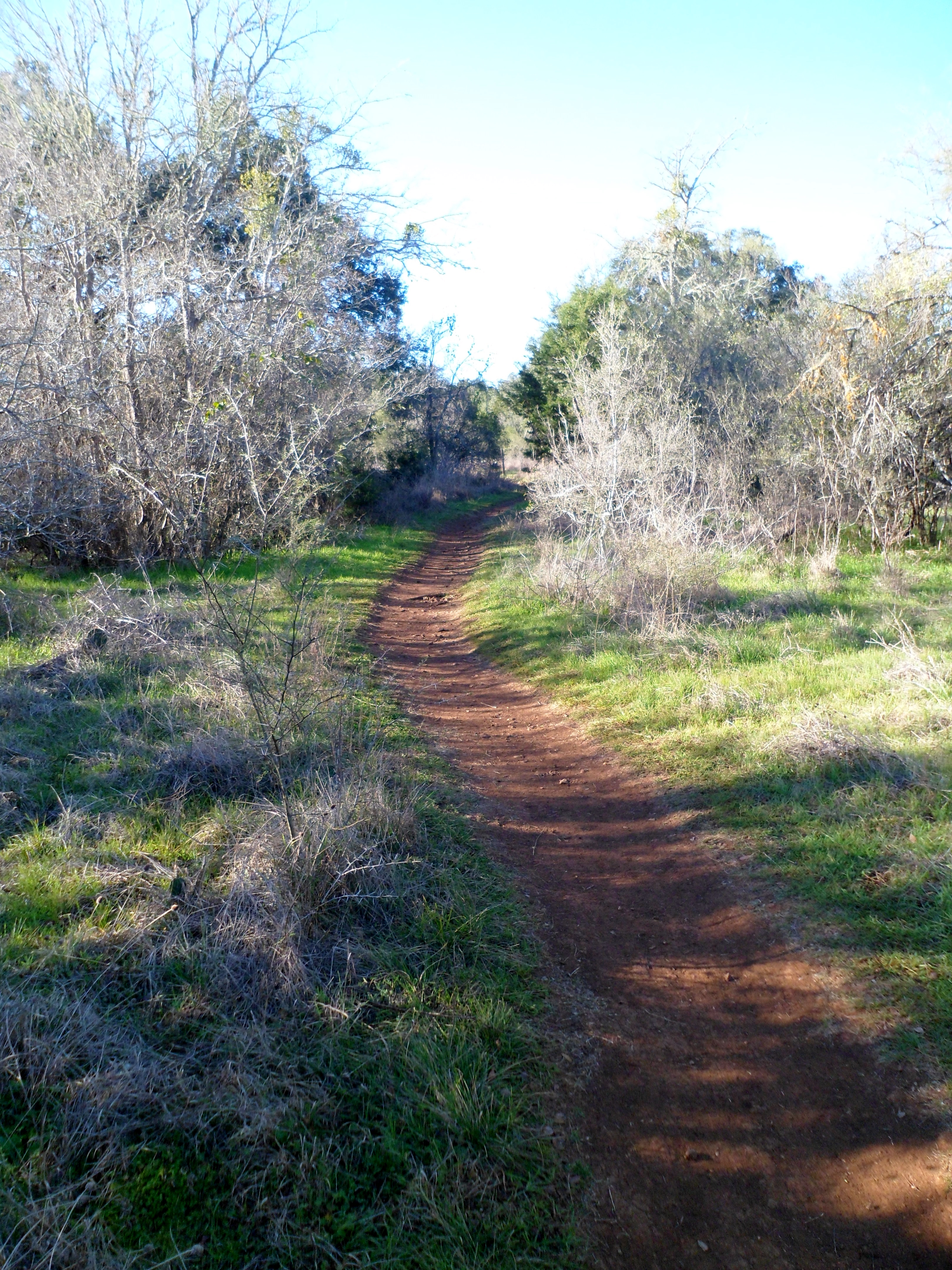
After over a month of no hiking due to scheduling conflicts, I was beginning to have withdrawals so I woke up early Saturday and drove down to San Marcos for a trail I had never done before. I knew because of the flooding last October that some of the park was closed, but the upper part was supposed to be open. This was true, but it did end a bit shorter than the website claimed. About a mile was cut off that I was really looking forward to, but it was still good to get outside and hike a bit.
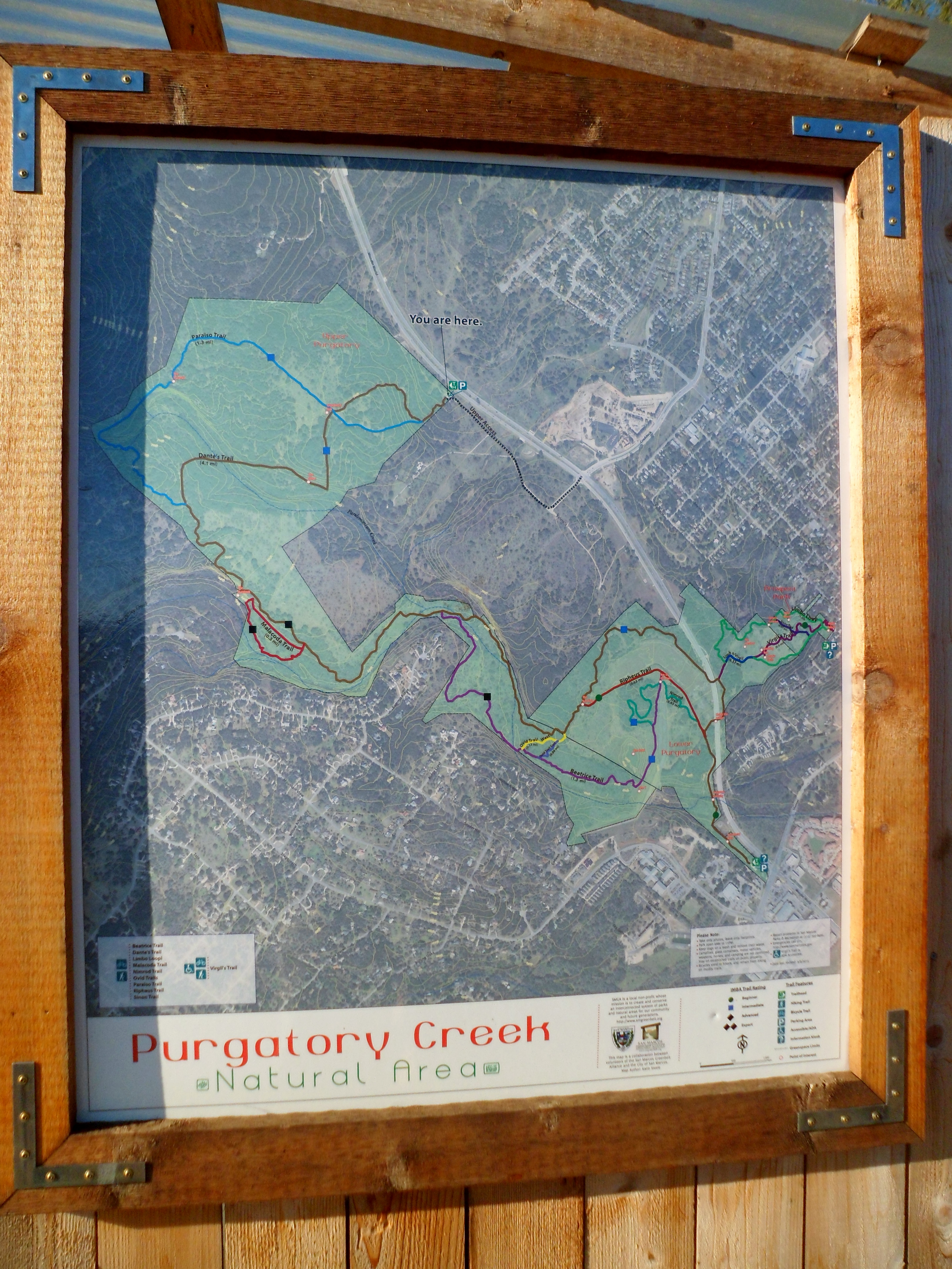
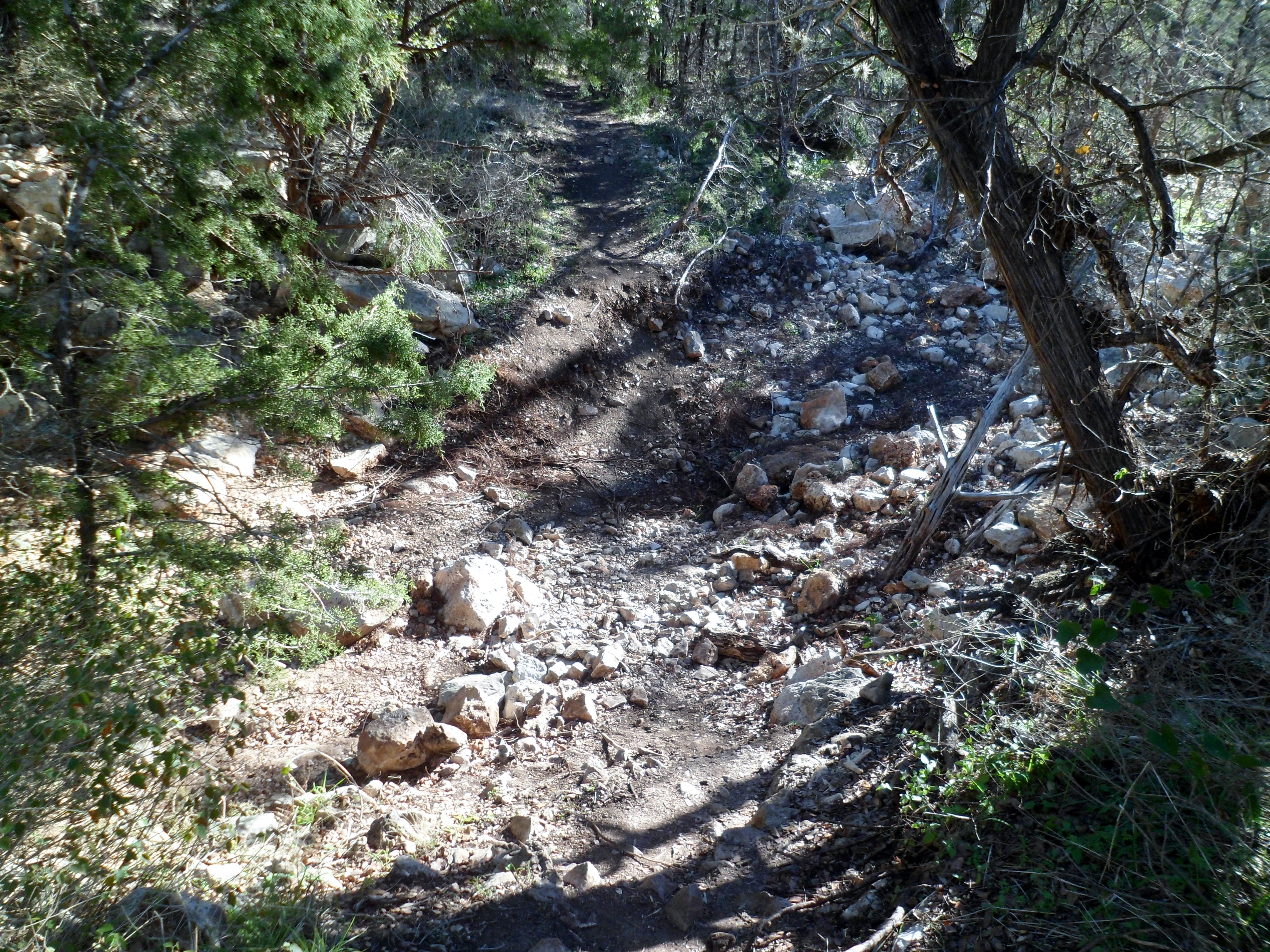
There were several cars in the parking lot, but I only saw two other hikers while I was out there. I started off on Dante’s Trail, which is pretty rocky; the typical fare for Texas Hill Country hiking. No water was running in Pandemonium Creek. The trail was blocked before I could get to Purgatory Creek, but I assume it is dry too.


I hit the end of the trail just after the intersection of the Paraiso Trail with Dante’s Trail, so I headed back via the Paraiso Trail to complete the loop.
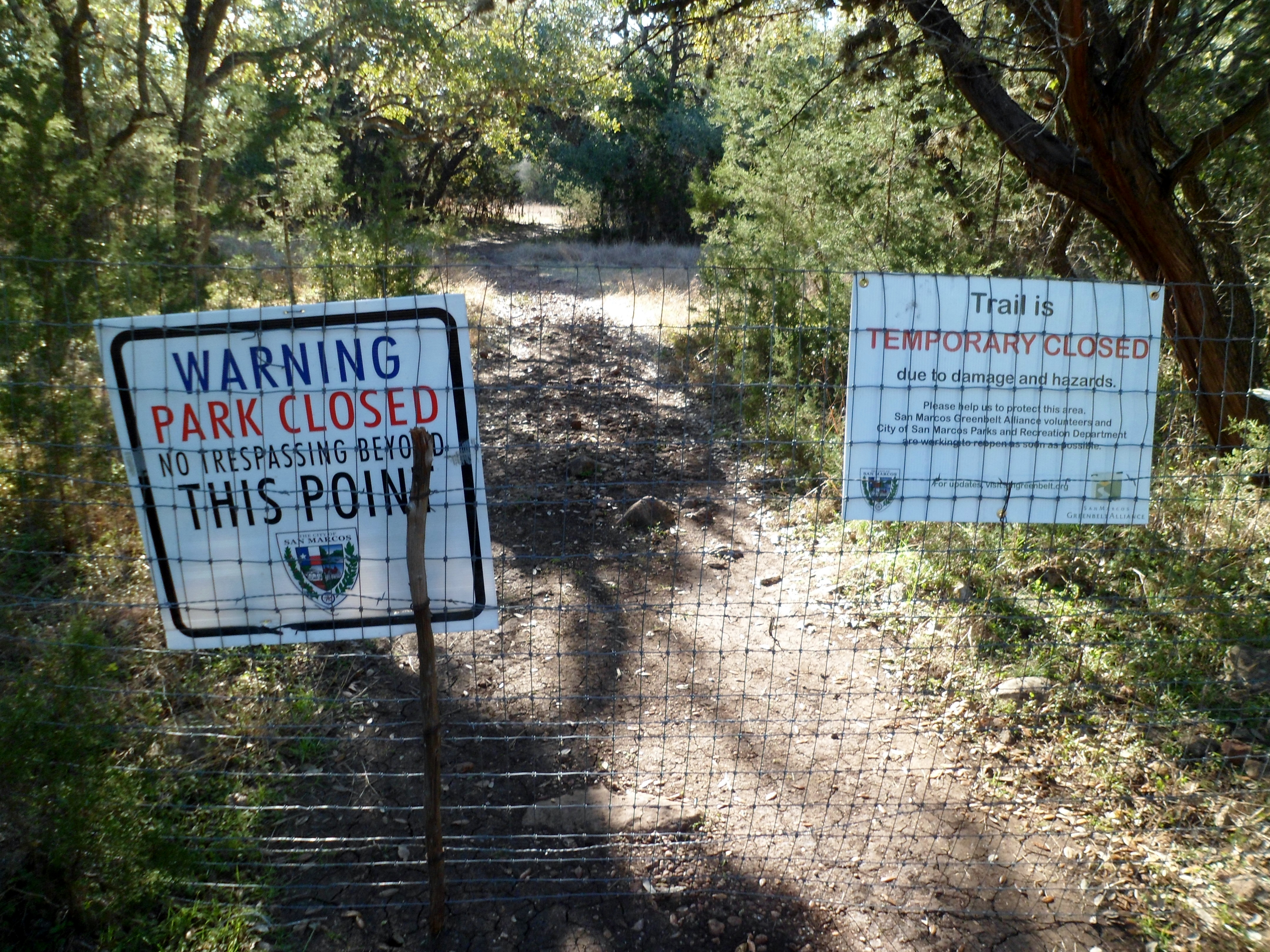


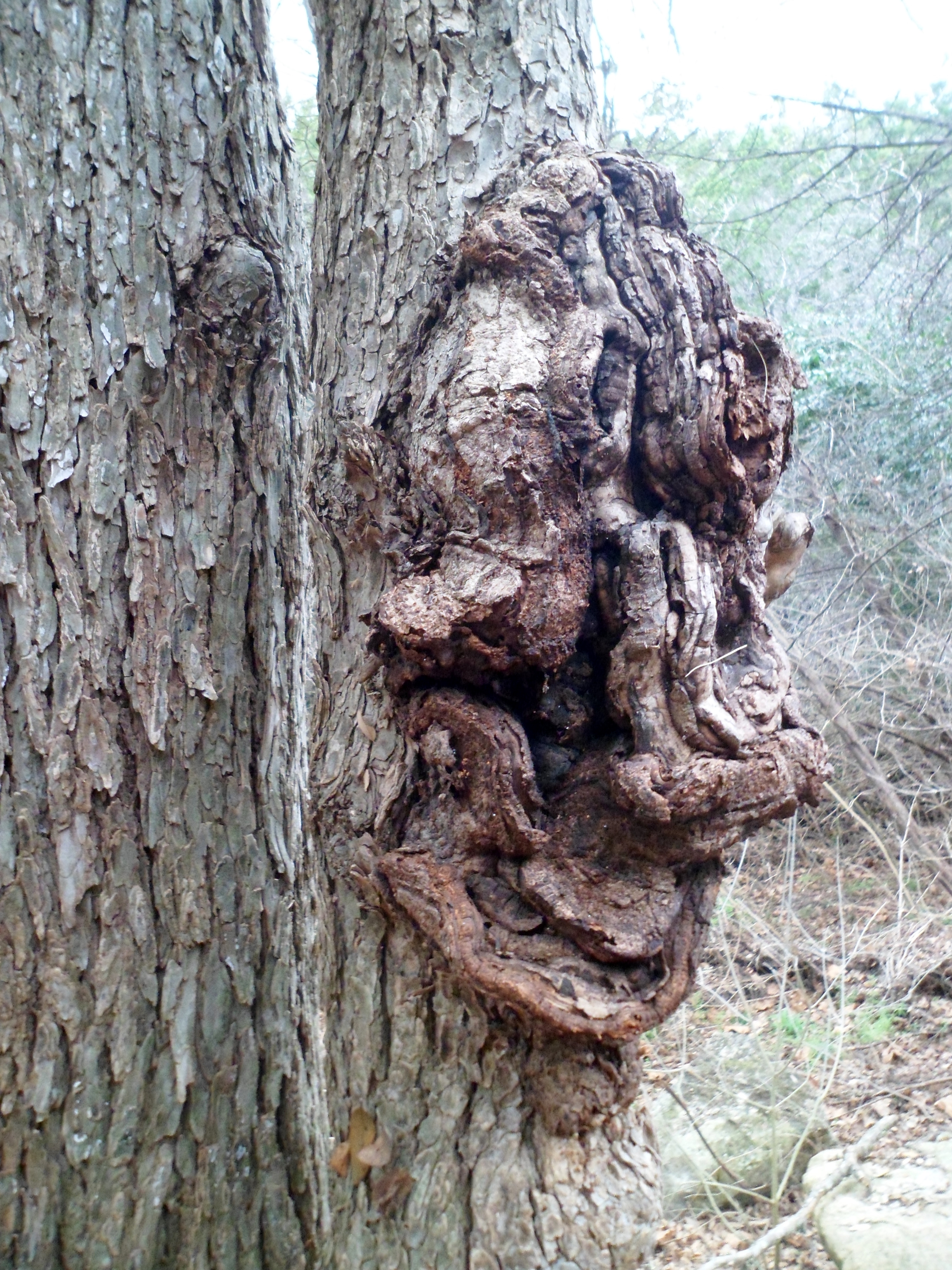
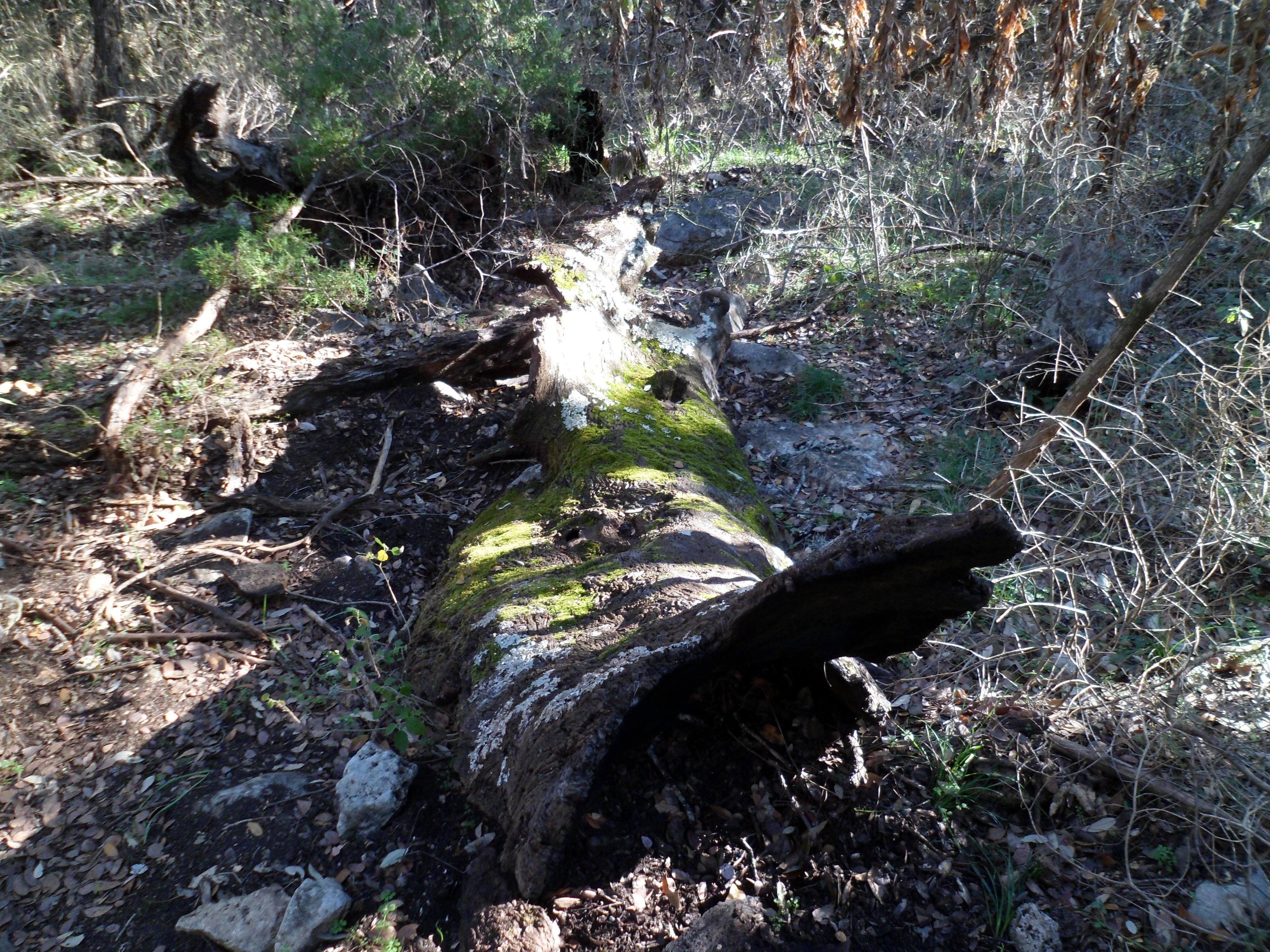
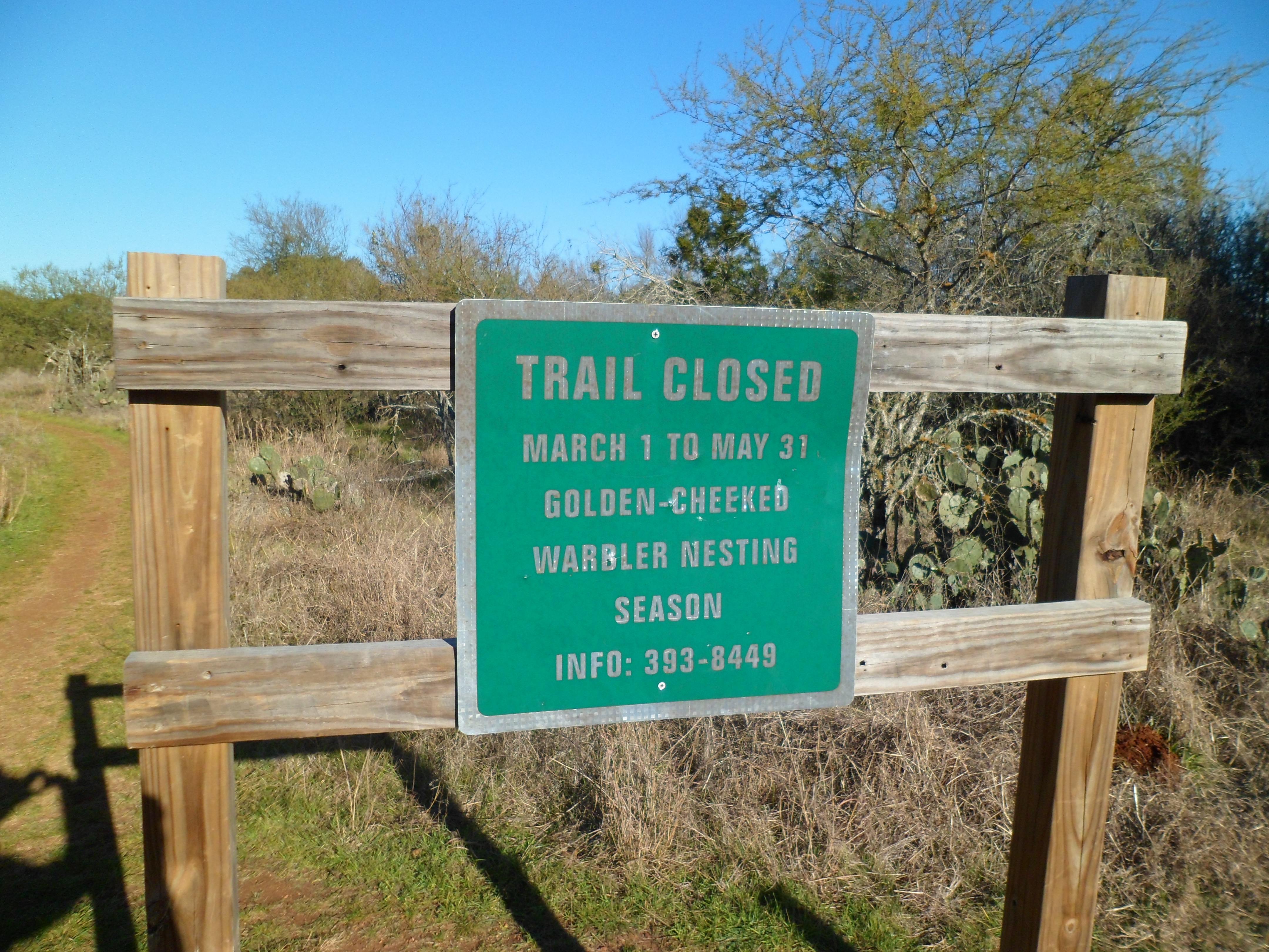
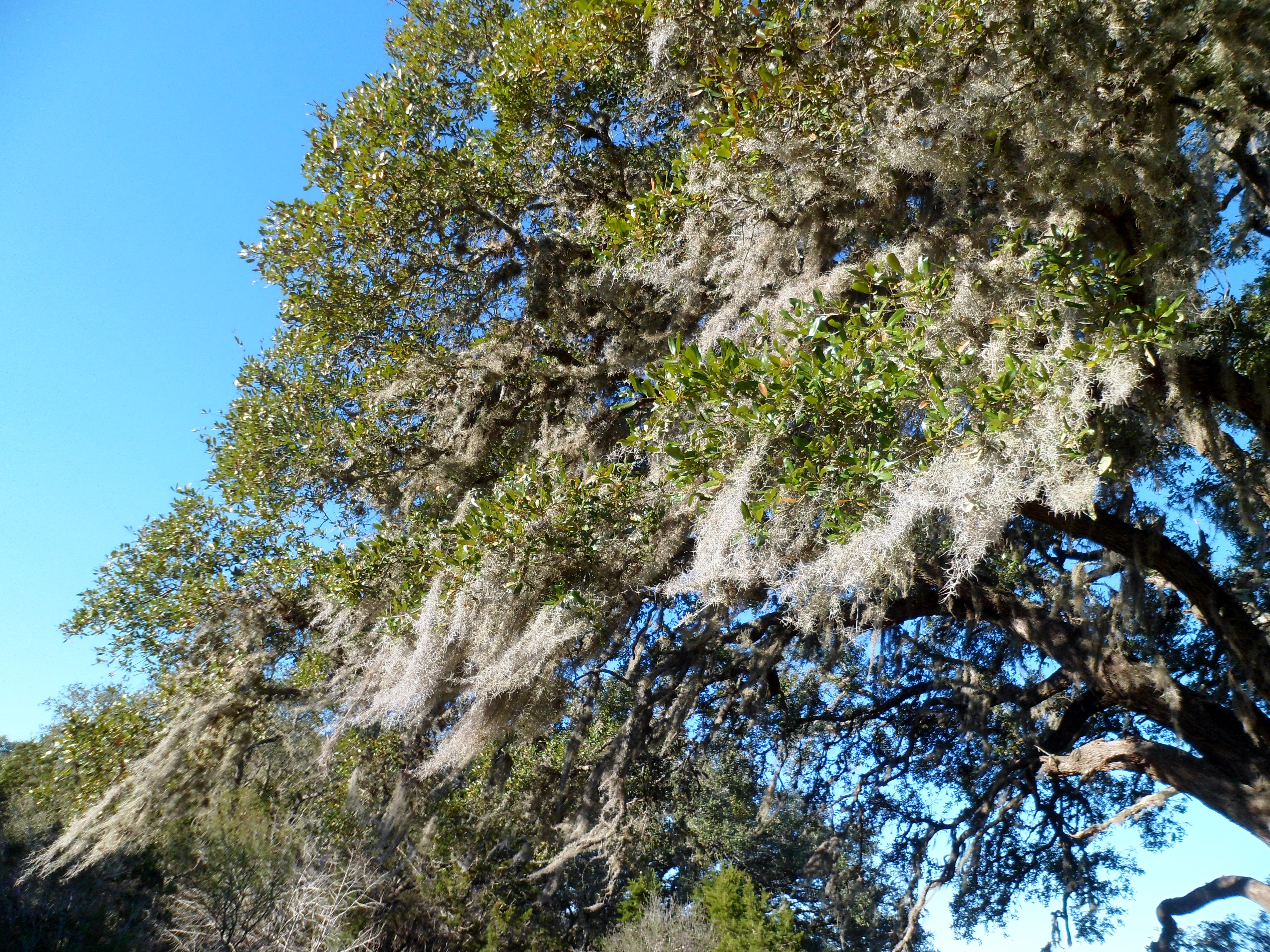
There were a couple of notable features, such as Grandma’s Oak with moss strands streaming from the branches. The low winter sun was a bit harsh, but bearable. I won’t be able to come back to this trail until summer, as it is closed from March thru May for Golden-Cheeked Warbler Nesting Season, but maybe by then it will be repaired and the full length will be open.


On one last note, my La Sportiva Ultra Raptors are working out great. The rubber on the soles must have just taken a little time to work in because they grip really well now. They are very light too. I haven’t gotten them wet yet, so not sure on the breatheability, but hopefully I’ll get a chance to test that soon.
Veteran Hiker ‘The Otter’ Missing
Veteran Hiker Missing in New Mexico/Colorado – trying to spread the word.
Yesterday I was made aware that a fellow thru-hiker and dear friend from the Pacific Crest Trail in 2013 is currently missing.

Steven Olshansky, better known as ‘The Otter’, was last seen on November 14, 2015, being dropped off by friends at Cumbres Pass in Colorado (near the border of New Mexico) on the Continental Divide Trail (CDT). He was heading south on the CDT towards Ghost Ranch, expecting to be out of service for 2-2.5 weeks, but never arrived to pick up his resupply and has not been in contact with family or friends since.
It is difficult for search and rescue to access all parts of the trail during winter, though some areas have been searched on foot and by snowmobile. Family and friends have also been following a number of unconfirmed leads of possible sightings in CDT trail towns including Cuba, Grants and Lordsburg, New Mexico, and…
View original post 271 more words

Recent Comments